21 July – 7 September 2026
In 2025, I reached Grövelsjön on my epic expedition along the E1 walking route towards Nordkapp which I have been undertaking in sections since 2023 when I started by walking through Denmark. Hence my first objective this time was to return to Grövelsjön in order to pick up the walk where I had left off last year.
As previously, I’d spent many hours over the winter poring over the route, planning and printing out sections of 1:50,000 maps for both the Swedish and Norwegian parts of the trek. I also came to the conclusion that I would hope to reach Nordkapp (probably in two years time if it all works out) but that my eventual target will be to finish there having walked Scandinavia from end to end. Even so, it will still be a total walk of at least 4,000km. The walk from North Germany to Sicily which would complete the E1 doesn’t look as attractive as many other treks in Europe and elsewhere.
I’m also aware that there are some places on the walk where I haven’t followed the precise E1 route for various reasons – blocked paths, the need to walk off route to get to places where I can buy provisions etc. During my perusal of the route from Grövelsjön northwards, I could see that I was going to need to deviate off the route more frequently. I read blogs written by other walkers and further information gleaned from websites. In particular I could see that there are some river crossings where it would be unlikely that I would be able to cross safely, particularly as I’m walking alone. I discovered that there had been a bridge at the northern end of the Børgefjell National Park which had been washed away and no plans to renew it; this bridge appeared to be essential in order to make a safe crossing. Another river appeared to be crossable only using a boat attached to a cable – I certainly didn’t rate my chances of managing that safely on my own. Moreover, resupply points (supermarkets and grocery stores) as I am further north become few and far between so sometimes large diversions are required to buy food. I realised that I needed to be able to access food supplies every six days or so at the least as I just don’t have the capacity to carry any more.
My journey to Grövelsjön involved an early morning flight to Stockholm where my journey through the border was slow; everybody appeared to be questioned in detail. The officer asked me lots of questions and seemed concerned that I was telling him that I was walking and planned to remain in the Schengen zone for fifty days. He wanted to know about booked accommodation; fortunately after I’d told him my plans for the first three nights (which was all I had booked beforehand) he returned my passport and allowed me through. As my plane had been on time, I was able to rebook my train journey north to Mora on an earlier train (for a small fee). After checking in at the hotel, this gave me plenty of time to buy gas for my stove and dried camping meals from the superb outdoor shop: https://www.narafjallet.se/ which I had visited in 2025 – they clearly don’t get many British customers as the owner remembered me! I also bought all the other food I needed for my first few days from the nearby supermarket.
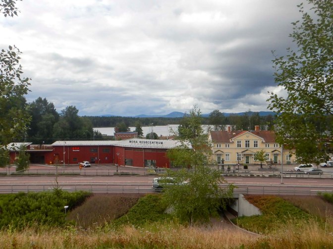
I enjoyed the scenic journey to Grövelsjön Fjällstation the next day on an almost empty bus – a mother with two young daughters also travelled the full journey but apart from that there were just a few people who were on the bus for small parts of the whole route. I was keen to get started but I had booked to stay at the Fjällstation overnight so I just warmed up my legs by walking up to the Norwegian border and back.
23 July to 27 July Grövelsjön to Røros
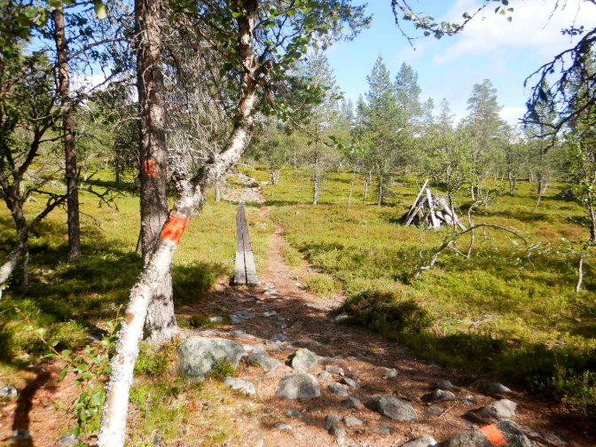
I felt quite confident about the first five walking days. I was sticking to the E1 route which I had discovered is waymarked in Norway with red painted dots and T’s. My first night was booked in a staffed DNT (Norwegian Trekking Association) cabin with full catering and I was carrying sufficient food for the remaining days.
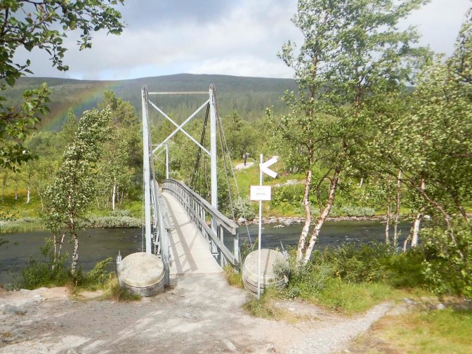
I made the most of the excellent buffet breakfast at Grövelsjön Fjällstation and left at 08.30am just as the check-out desk opened. The weather was dry and sunny. I retraced my steps from the previous day to reach the Sweden – Norway border, where the path suddenly became much more rough and stony.
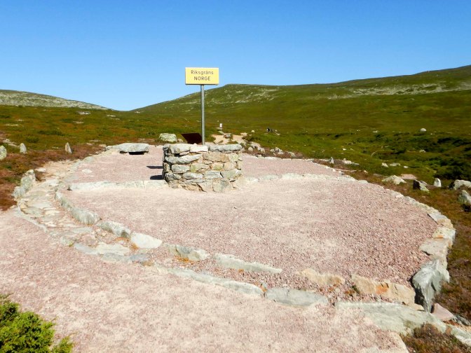
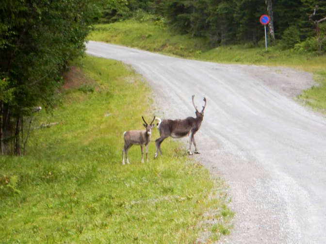
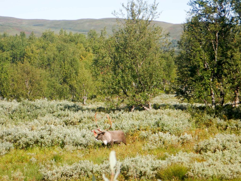
This is part of the southern Sami reindeer herding area and I saw many reindeer in ones and twos as well as fine views of the mountains.
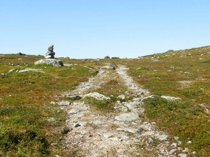
It was easy to follow the route apart from where it crossed the Grøvelåa River – I almost went the wrong way so I used my TwoNav GPS (I’d bought 1:50,000 maps of Ordnance Survey standard covering Norway for my GPS) to supplement my paper maps. My left foot got wet crossing the river, but that was something I was going to have to get used to in Norway!
I enjoyed walking up to a cairn at Forborgen – an excellent viewpoint. My route descended near the base of some rocky crags and I saw a few patches of residual snow.
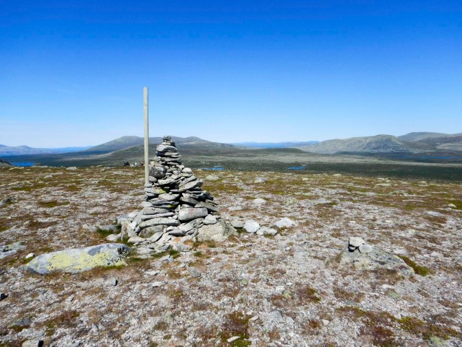
The following section was less pleasant with lots of mosquitoes and biting flies as I traversed some swampy land and several stream crossings. I spotted a man fishing by the lakeside and looking quite relaxed – not sure why he was apparently left alone by the biting insects.
The final section of the route came out of the lower valley and was insect free in the breeze.
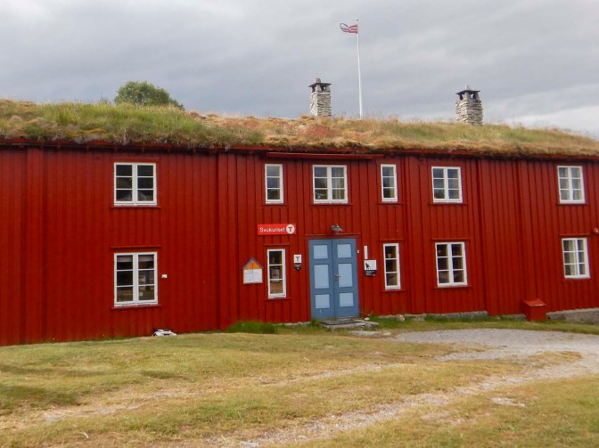
I checked in at Svukuriset cabin, previously a mountain farm dating to the time of the copper works in Røros, when many workers at the smelting furnaces ran small farms in the area. It was bought by DNT one hundred years ago in 1926 and opened up this part of Norway as a destination for walkers. Even though there seemed to be a lot of other guests, I was allocated an entire five-bedded dormitory just for my use so I was able to spread out all my things.
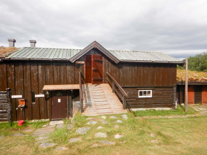
There was plenty to eat both at the home cooked evening meal eaten together round a couple of large tables and at the buffet breakfast which also provided the ingredients for the inclusive self-made packed lunch.
The onward route towards Røvollen was signed from the garden at Svukuriset through a forest of stunted birch and beech trees and then a more open area where the path remained stony.
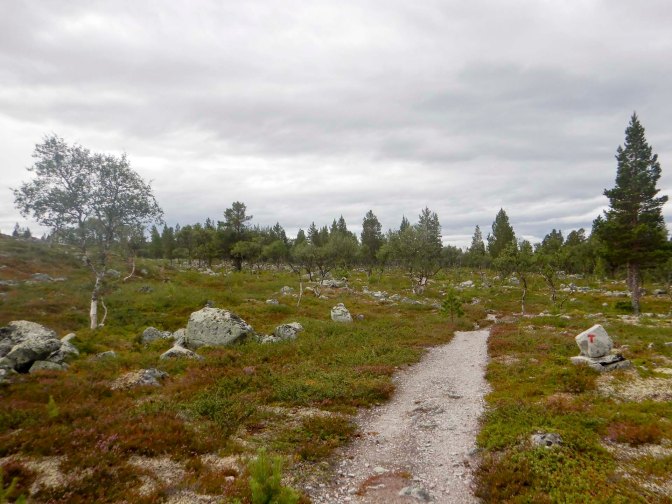
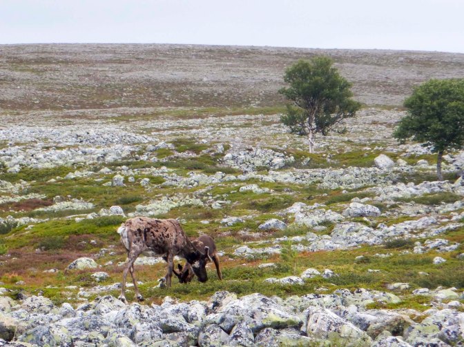
There were scattered reindeer and I saw two walkers.
I climbed a hill from where there were stunning views down to a complex network of many lakes. It started to rain so I donned waterproofs which I ended up wearing for the rest of the day.
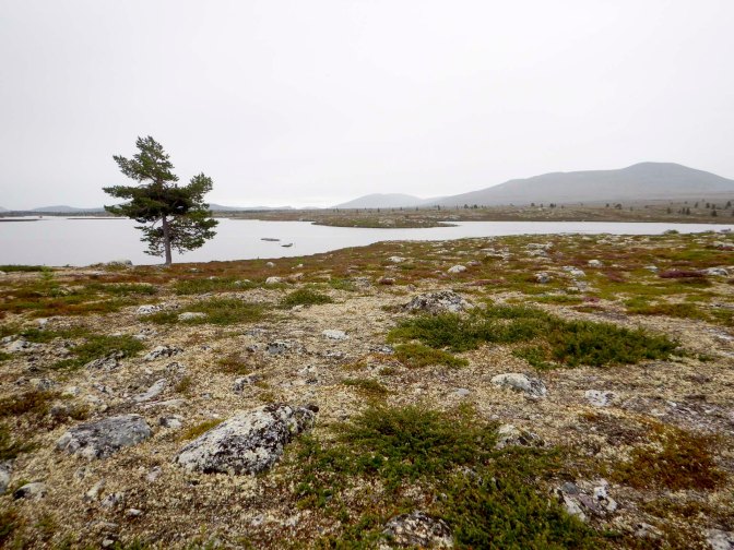
The route descended towards the lakes and was routed away from an area of apparently rare breeding wading birds. A few small stream crossings were probably much easier now than earlier in the season when there would have been a lot of water from melting snow. The path wove its way between small lakes before entering a forest.
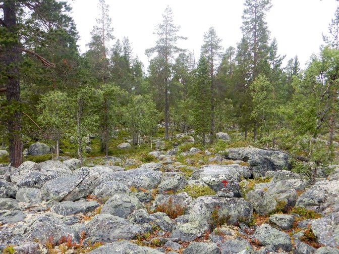
The terrain became more difficult – undulating with tree roots, stones and small boulders to negotiate.
I reached a raging torrent of water flowing into the huge lake Nedre Roasten of glacial origin and covering 2.29 square kilometres. Fortunately there’s a bridge over the water. The main problem was balancing on boulders to reach the bridge. Just as I had committed to my boulder crossing strategy, unbeknown to me a couple approached from behind and wanted to help me. Of course I hadn’t heard them approach because of the loud crashing flow of water below the bridge. Anyway I was across before they could do anything closely followed by them as they crossed without seeming to think about where they would balance.
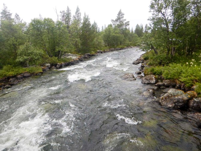
I stopped on the bridge ostensibly to take some photos but really because I wanted to make my own way slowly and steadily across the boulders on the far side of the water.
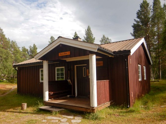
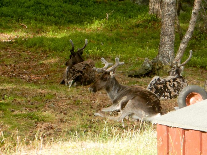
Fortunately the path through the forest improved, becoming quite peaty. It still seemed a long way but, just as I was about to double check my navigation with my GPS, I spotted a sign and then Røvollen cabin in a clearing. The area around the cabin appeared to be home for some reindeer including two adults and a calf.
It was my first time to use the DNT key which I had ordered when I joined the Association in January. There seemed to be a family of four already registered for the night and their luggage in one of the dormitories allocated for pre-booked guests. I registered in the book and entered my stay in the app. However, I couldn’t pay the overnight fee until I arrived somewhere with a data signal. I selected a bed in one of the empty dormitories reserved for non-booked visitors. I had a good look round including exploring the range of provisions available for sale in the “larder”. I didn’t need to buy anything on this leg of my journey but needed to know what to expect ready for when I would need to rely on food from the cabin stores later on during my expedition.
I managed to work out how to turn on the electricity (solar powered with batteries) as well as how to turn the gas on and off before two Dutch women who had pre-booked arrived. They’d walked from Ljøsnåvollen where I was heading the next day so I also got some helpful information about a potentially difficult river crossing and about the accommodation which wasn’t a DNT cabin.
I hadn’t lit the wood-burning stove, which they needed to do so they could dry their wet footwear from the river crossing.
As it was my first night in a non-catered DNT cabin, I was slow getting ready to leave the next morning. I got up at 06.15am but with making sure I put rubbish and waste water in the right places and doing a share of the sweeping, it was 08.00am when I left. The Dutch women were just starting their breakfast but the family members were still in their dormitory.
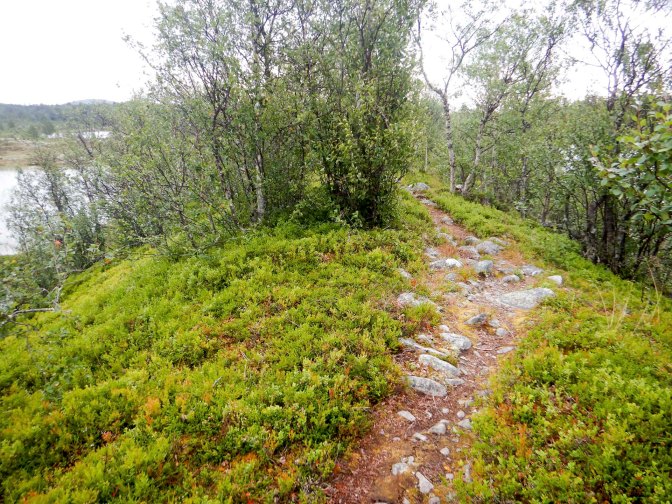
The path was stony from the start as the two women had warned me it would be. I walked through a forest then along a moraine ridge with lakes on both sides, over a swamp and climbed some more hills where I saw one person coming the other way. I stopped for a lunch break and two young men with a dog and carrying fishing equipment overtook. I followed on soon after and was surprised to overtake them before I arrived at the river crossing.
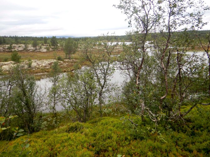
As I had been warned, I wasn’t surprised that this was deep but with a rope to hold on to and to mark the point to cross. I crossed in my boots and gaiters but with the boot insoles and my trousers packed away safely in my rucksack. The crossing was in two sections with an island in the middle where there was a tree trunk apparently gnawed by beavers. On the far side, I tipped the water out of my boots and dressed quickly so I had my trousers on before the men arrived. They had crossed wearing everything and claimed not to have wet feet at all .. but the water was up to my knees in places so I would be surprised that they had really managed this.
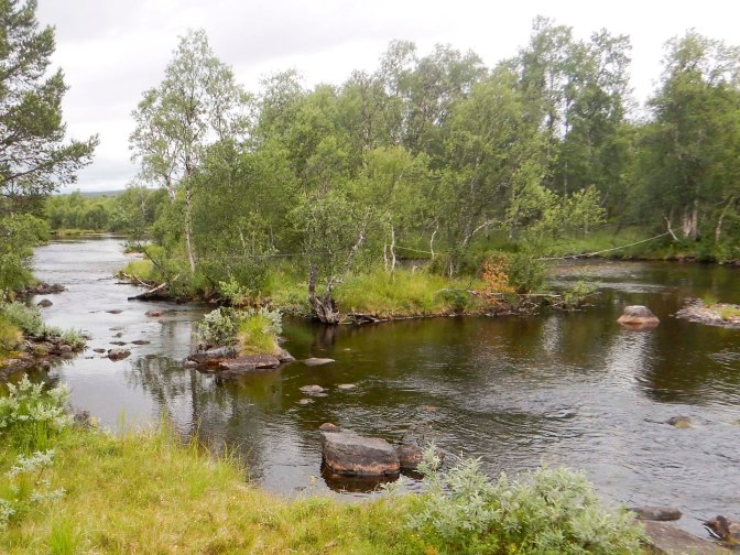
Soon there was another river to cross but this wasn’t as deep and I crossed without taking any precautions apart from undoing the belt on my rucksack just in case of emergency and needing to get it off in a hurry.
As the Dutch women had told me, this was the easier half of the day’s walk on a sandy lake-side path, across board walks on some of the swampy land, a few relatively small stream crossings and generally less stony ground. It was all well-marked with cairns and red paint blobs. The path continued to be almost devoid of people – I just saw one man alone and two women with three dogs.
I reached the bridge at Ljøsnåvollen at around 4.30pm and spotted a notice mentioning paid camping with use of the outside facilities at the farm. A couple of Norwegian cyclists who told me they were were camping a few kilometres away were heading to the farm to try to borrow a phone charging lead and told me that there were good wild camping spots nearby next to the river. I didn’t want to go far along the track as my onward route was on the other side of the bridge and I ended up camping just a couple of hundred metres from the farm.
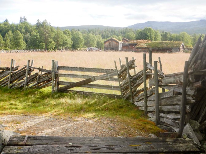
I was up at 5am. There had been quite a lot of overnight rain and there were several slugs on my tent. What with clearing off the slugs and trying to get the tent as dry as possible, it was still 7.30am by the time I left.
I was pleased that the overnight rain had cleared. Initially it was slow going through forest with huge boulders on parts of the path.
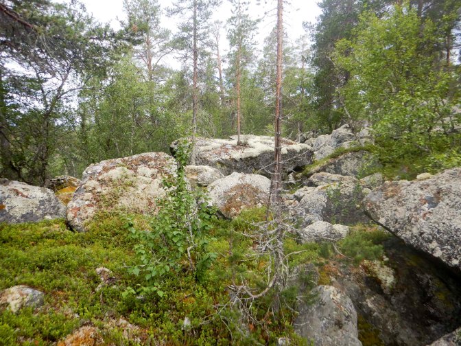
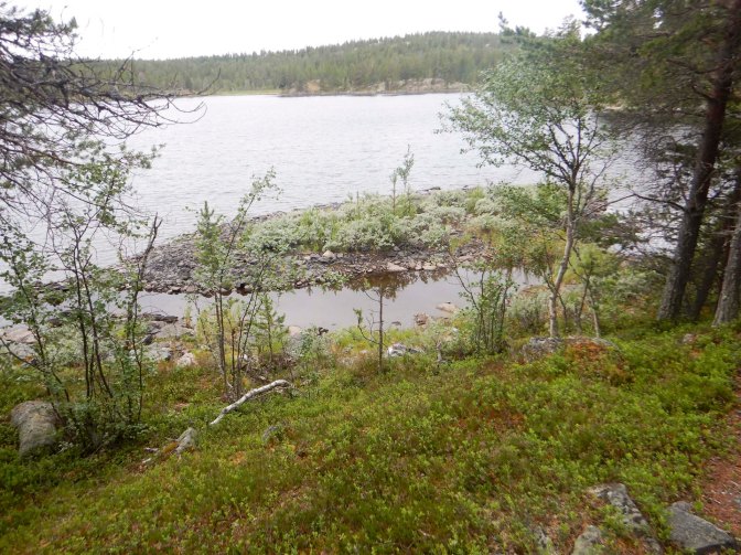
I passed some lakes and various interpretive boards with English translations explaining that there was evidence of Neolithic remains, an ancient Sami meeting place near a lake and the remains of a roadway built when the area was mined for copper. I also saw an old animal trapping pit and crossed a fence used to control current day reindeer herding.
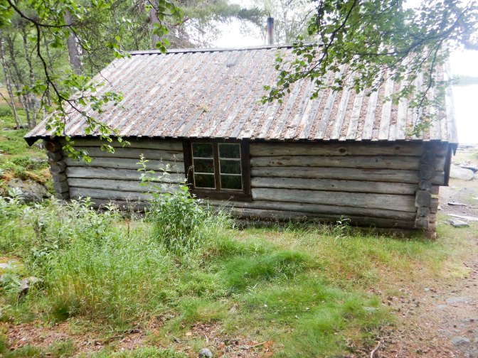
I passed an unlocked simple wooden cabin with sleeping platforms where it was free to stay overnight.
There was a minor road, a car park and people out for short walks. The path was easier to walk on to Fjølburøsta where there’s a self service DNT cabin near an inhabited farm. Like the farm where I had stayed at Svukuriset, this summer farm had originally been part of the estate of the copper mine owners at Røros and leased out for tenants to care for it, who in return could feed their cattle. I didn’t unlock the cabin as it was only 11.30am and my planned itinerary was to walk further. There’s a fee for day use of the cabins and it was dry and warm enough to sit outside on a bench where I hung my tent out to finish drying and ate an early lunch.
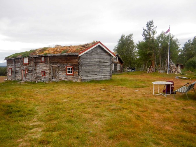
I stopped for almost an hour to dry my tent. The terrain changed – instead of forests, I was walking over mountains and enjoying far-reaching views. I only saw one person with their dog all afternoon. There were a few stream crossings and I learned the salutary lesson that no crossing should be considered “trivial” when I carelessly slipped on a wet stone into shallow water.
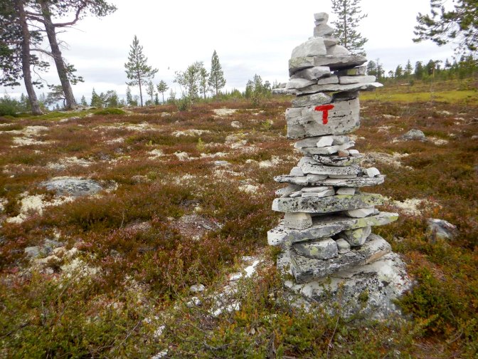
I passed an area where chrome had been mined in the past.
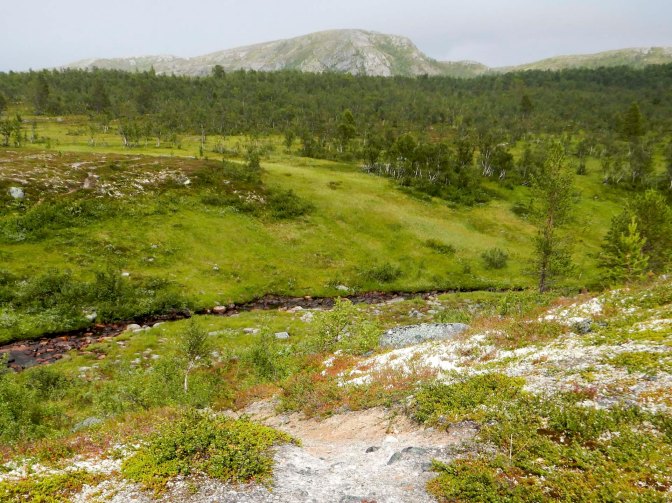
My planned destination had been the self catering unstaffed DNT cabin at Marenvollen although this would have involved a one kilometre diversion from my main route. My tent was dry and I had plenty of food and gas so I decided to camp about 800m before I reached the turning to Marenvollen. It was a lovely spot on a bed of lichen above a stream and there were good views.
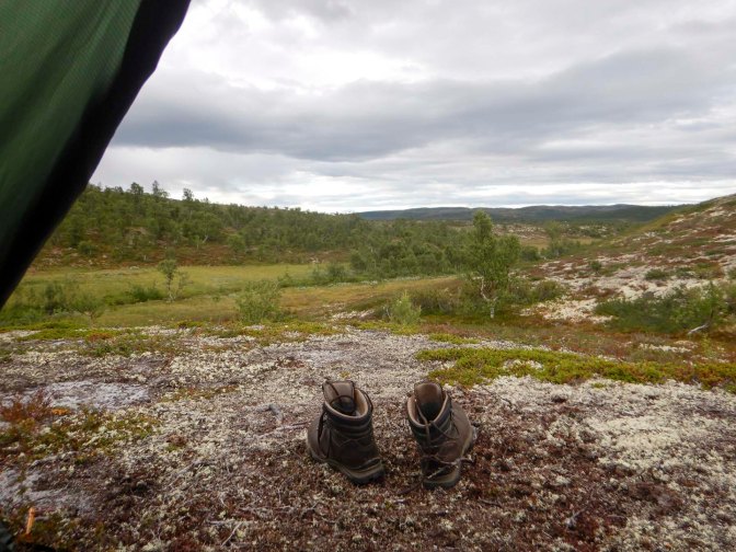
There was some overnight rain and it did seem a bit cold, but I was still surprised to find ice on my tent in the morning. I was up at 5am and soon it was sunny with no clouds.
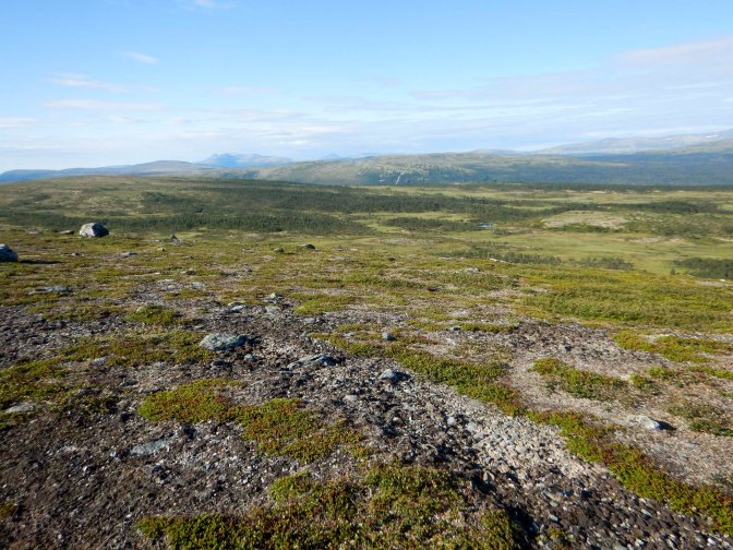
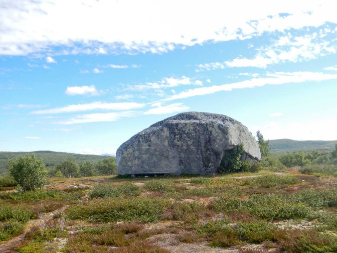
I followed good and well marked paths over mountainous terrain and enjoyed excellent views almost all the way to Røros. I passed a huge glacial erratic apparently of Swedish origin.
An interpretive board explained that the remnants of disused copper mines dated from the seventeenth century.
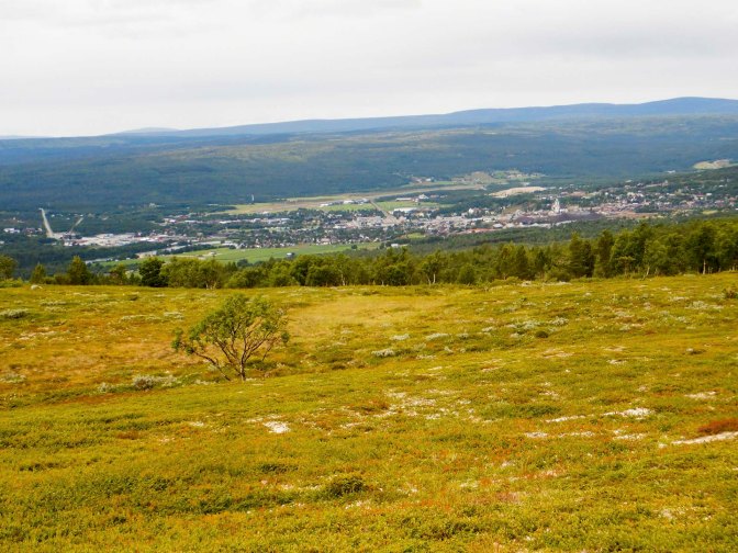
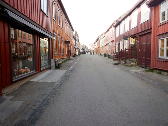
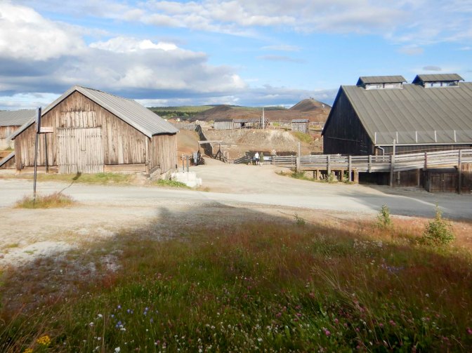
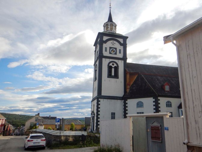
In Røros there is a prominent church, huge slag heaps which have been transformed into a tourist attraction with walkways. The historic 17th- and 18th-century wooden buildings together with the mining heritage led to the town’s designation as a UNESCO World Heritage Site in 1980.
There’s a good outdoor shop so I was able to buy a gas cylinder and some more dried camping food.
As far as I could see on-line on my phone, all the hotels in the town were extremely expensive as well as being fully booked. I made my way towards the campsite which was about thirty minutes walk along a main road out of the town. Here I discovered that in addition to the possibility of camping, there was still a vacant single room available at a realistic price in the service building where there were communal cooking facilities plus a washing machine and dryer available for a small additional charge. It was perfect and I washed just about all my clothes, spending the afternoon wandering round in waterproof trousers and a T shirt until everything dried.
There was even a shortcut to the town along a path from the back of the campsite and across a footbridge, avoiding the main road. Once my clothes were dry I went out for a pizza and to buy some food from the supermarket.
28 July – 3 August Røros to Meråker
Overnight there was rain and it was still raining in the morning so I was glad to have been inside, which meant that my tent was dry. I had a good sort out of everything and left once the rain had stopped.
The route out of Røros is convoluted and I took a couple of wrong turnings. I’d decided to take a more direct route to Glamos than the official E1 which has a large loop. I could see an unsealed road which was much more direct – actually it’s a cycle route and it was almost devoid of traffic. It did mean that I had to walk a bit further on the surfaced road into Glamos than if I’d taken the official route.
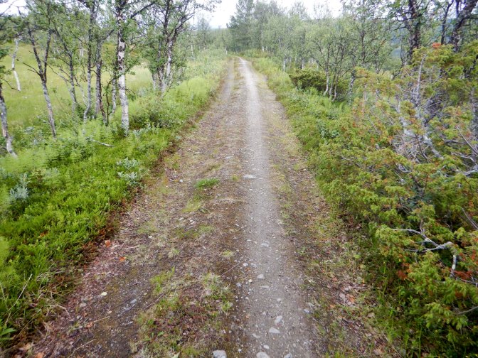
My route from Glamos was also off the E1. I’d read accounts of the official route mentioning one deep river crossing and another dangerous crossing over a dam. Instead I walked along minor roads and tracks to the main E30 which I crossed on to a reasonably well trodden path up to a disused railway line. This had been a line used for transporting copper ore from local mines and the path was easy to follow.
Eventually this path descended to the current main railway line which I crossed over a level crossing and from there a minor road to the E30. I had to walk for about 30-40 minutes on the E30 but at around 5pm it was actually not too busy.
I turned on to an unsealed road a scattering of farms and houses. There weren’t any suitable camping spots. Eventually I reached the isolated railway station at Reitan, where the road crosses the railway line. The road becomes a toll road open only during the summer months. There’s no toll for pedestrians. Soon after this, I found a space close to but out of sight of the road where I was able to camp. Particularly given that I had started late, I’d made good progress and was further from Glamos than I’d expected to be.
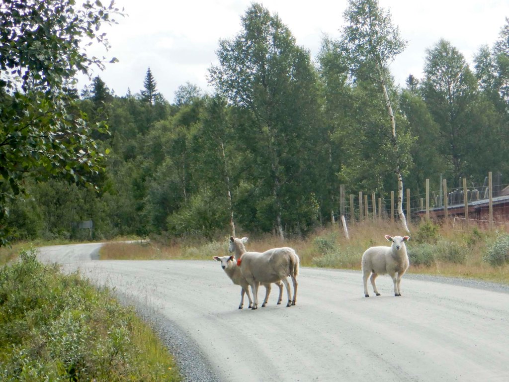
I was woken by the train hooter at around 05.20 – it’s the line between Trondheim and Røros. However, given my relatively late arrival, I didn’t get out of my sleeping bag until 06.30. Once I started walking, I was surprised how many vehicles were on the road as there weren’t many houses and I’m sure there are faster routes. Signs warn to take care – there could be sheep, cattle and reindeer on the road. I see and hear some sheep with bells and hope there aren’t any cattle close to the road. A little further on, a group of cattle is blocking the road and they look a bit too frisky and aggressive for my liking. I backtracked slightly and flagged down a passing motorist who is happy to watch until I’m safely past the cattle.
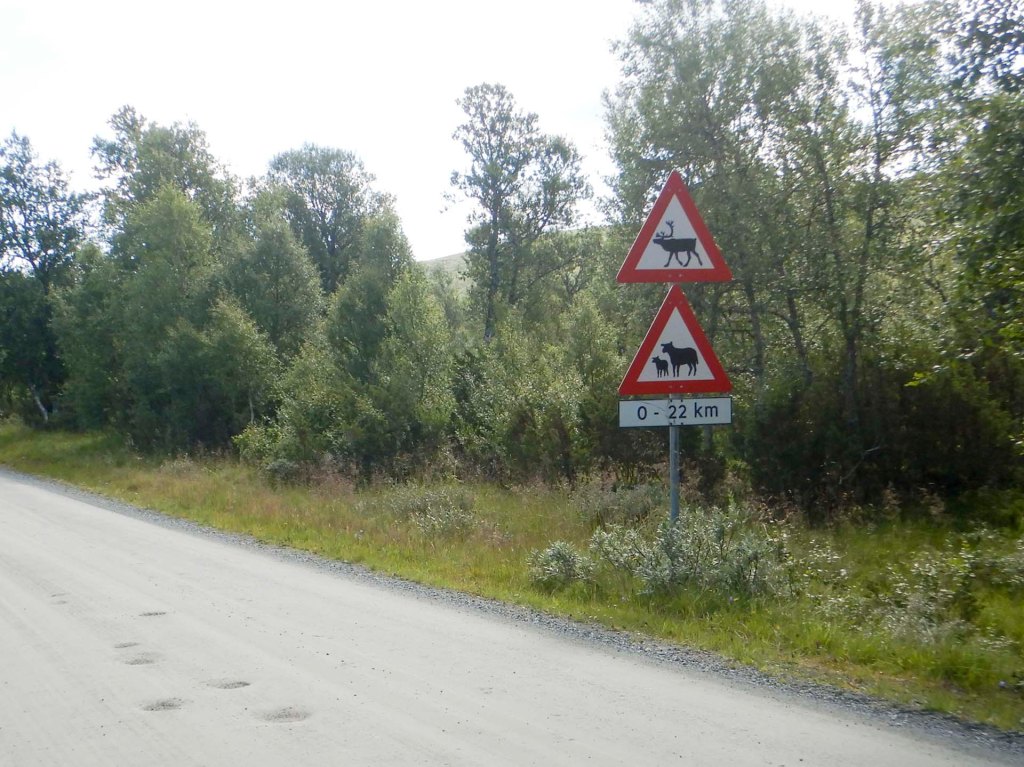
Eventually just after lunch at about 1pm I arrived at the point where I can turn off the road. I was on the official E1 route again. There’s even a sign to Kjølihytta which is around 7km away up the hill. I met a man walking towards me who worked as an optometrist at the hospital in Trondheim but now retired and lives with his two dogs close to the railway station and where I had camped the previous night. He explained that he’s the sole year round resident now – all the other buildings are used as summer houses. He also told me that the road isn’t normally so busy – everybody was taking advantage of good weather which had been rare this summer.
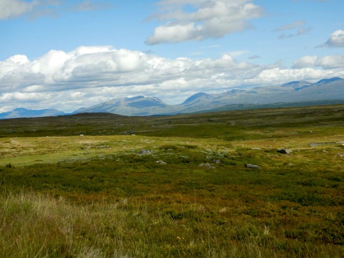
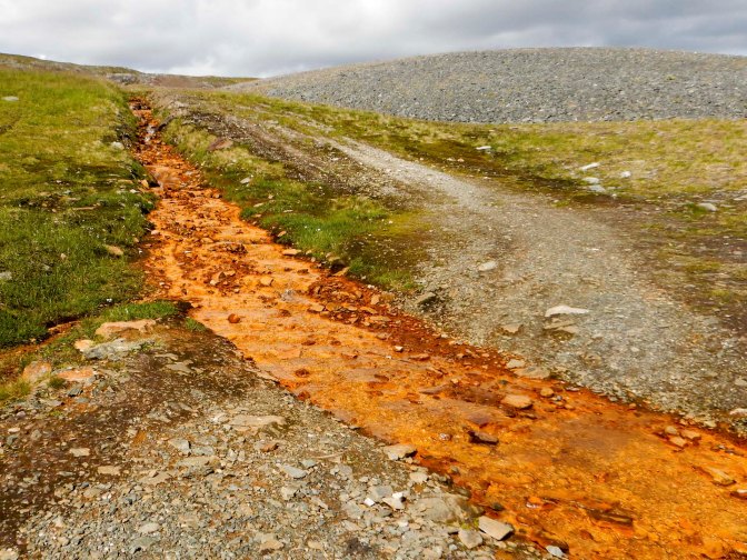
I saw people next to a fishing cabin at the first lake. I was heading further past a disused mine and a stream with yellowy-orange water to the side of another lake.
The cabin is in a superb location and I had it to myself.
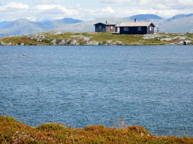
I dried my tent and washed and dried my socks and underwear outside. I failed to work out how to turn on the electricity that evening but I did manage to light the wood burning stove so the cabin was beautifully cosy and warm.
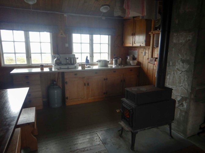
I ate a tinned stew from the provisions cupboard for dinner so I saved my dried meals for later in the expedition as I’m not sure when I’ll be anywhere that I can buy more of them.
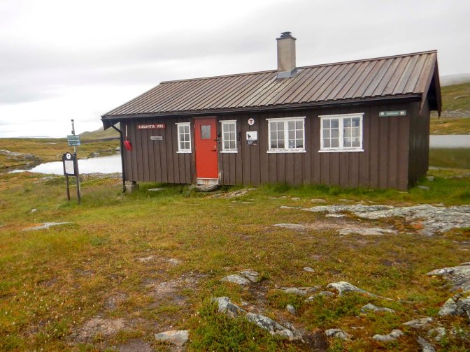
The next morning was cloudy and unsettled. I managed to turn on the electricity – there was a timer to turn on! I’d tried it the previous evening but only tested the electricity by trying to turn on the vestibule light, which seems to be broken. I charged my phone fully and my GPS almost fully. I’m sure I left the cabin much cleaner than when I arrived (although it was pretty clean) before setting off in full waterproofs.
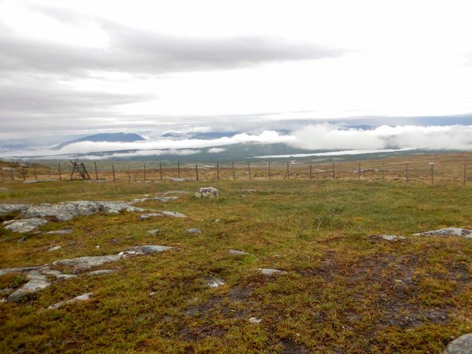
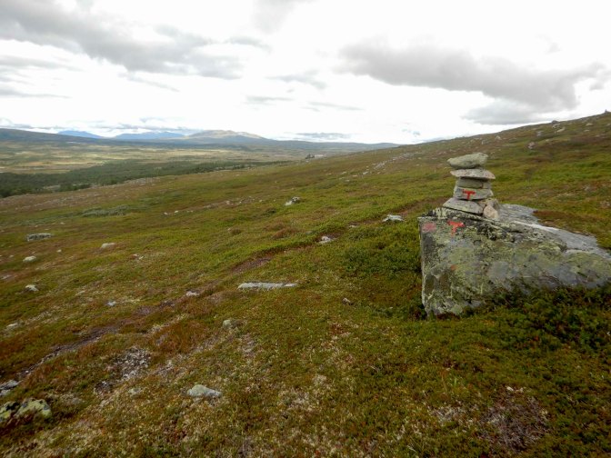
I lost the red painted Ts and blobs early on but found them again. They were interspersed with smiley faces, “God Tur” and “Hei” so I think the person with the paint was bored, had a sense of humour or both! The route involved mountains, lakes, dry heath and swamps with multiple stream crossings. I saw stunted beech, birch and willow as well as heather and blueberries.
Eventually I left the path near a summer village to follow a road to Stugudalen. I ate lunch sitting on a bench near the lake: Stuggusjøen, noticing reindeer grazing nearby. There was thunder and lightning forecast overnight so I was keen to be near civilisation and I checked in at the campsite, which had a “grill” restaurant opposite the Joker supermarket. There’s only a small area for tents on quite stony grass near the road but at least there was a nice washroom with hot showers included in the overnight fee. I was the only camper – there were a few campervans but the site was mainly huts with “touring” caravans next to each hut, most of which were empty. Presumably people had rented the pitch for the season. I discovered that the supermarket stocked freeze-dried camping meals so I stocked up, not sure that there would be anywhere to buy them later. Fortunately, I went to the supermarket in the afternoon while it was manned – the amazingly long advertised opening hours included a period when it was necessary to swipe a card to gain access and I’m not sure that my English cards would have worked.
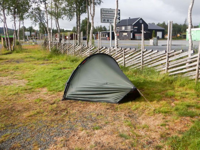
The promised thunder and lightning arrived and seemed close. I was relieved that I wasn’t on the mountains. The rain was heavy but I remained dry in my tent. Early in the morning the weather was dull with drizzle but soon brightened.
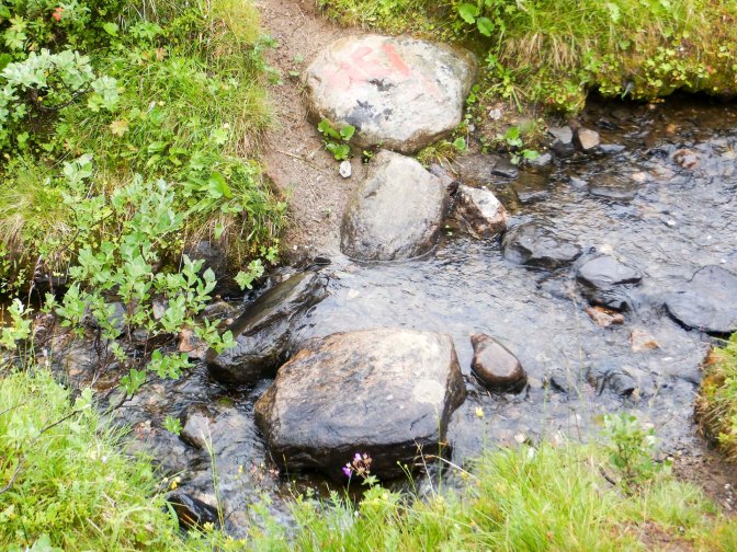
I set off following the unsealed road which left the main road right next to the camp site. I turned off the road to follow a track near a river and then a path across mountain terrain with several stream crossings. There were stunning views over the valley, up to the mountains and behind me to a lake.
I crossed a particularly large stream, getting wet feet but stopped for lunch soon after and took the opportunity to take my boots off and try to dry everything.
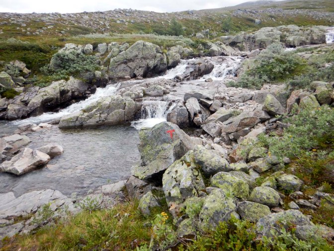
I crossed a small unsealed road then slowed down as the path became more stony with further stream crossings and swampy areas. A rain shower resulted in wet rock so I took care not to slip.
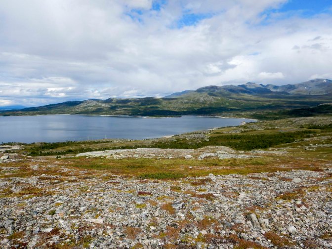
I enjoyed views over Nesjøen, a large artificial lake built as part of a hydroelectric scheme and with a shoreline of over seventy miles. The route crossed a road close to an impressive waterfall and then I realised that I was meant to cross the river just above the waterfall. This looked very risky, with many wet rocks but I saw that there was a way round by minor road – although it would be about 3km further to walk.
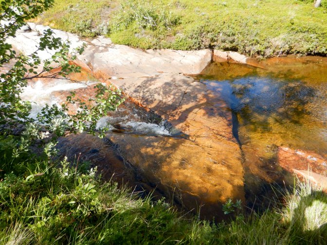
Fortunately for me, having decided not to cross near the waterfall, I set out on the road and saw a safer looking point where I was sure I could cross the river – it was wider and more shallow with a gravel base. I did get wet feet again though.
I used my GPS to guide me back on to the path I would have followed if I’d crossed the river near the waterfall. There was a lot of swamp along the path when I reached it as well as areas of dilapidated broken board walk but also some dry slabs of rock.
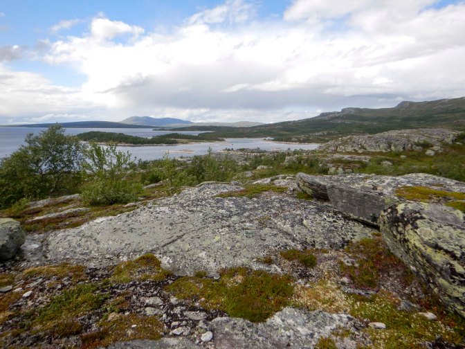
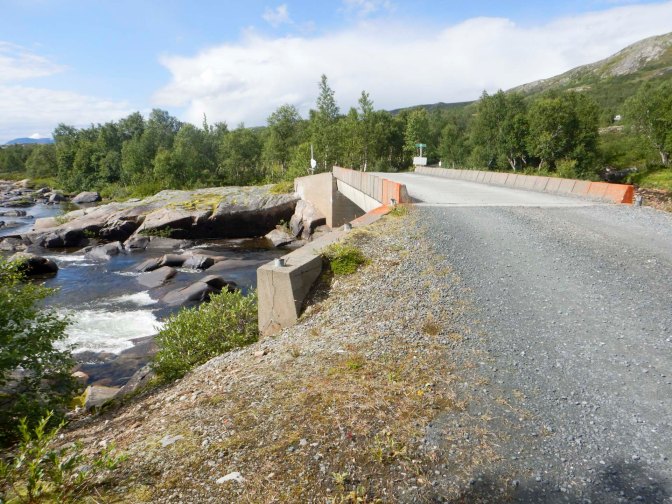
Eventually I reached the unsealed road close to my destination: Nedalshytta. I was delighted to see that the final river crossing had a bridge.
This is a fully catered and staffed DNT cabin and I had made the booking a couple of days previously. I thought that I would be in a dormitory but it wasn’t busy and I’d been upgraded to full occupancy of a four-bedded room in the main building and near the drying room. There were even flush toilets and powerful hot showers. It’s surprising how much equipment and clothing comes out of a 65 litre rucksack when it’s all spread out.
Dinner was served at 6pm and we were all allocated places to sit. I was seated by a mother and daughter from southern Norway and a Danish couple who arrived late as their walk had taken longer. I discovered about the unstaffed supermarkets which are found more frequently in remote areas and mean that people can have the benefit of longer shopping hours even when living in small communities. Apparently they have a lot of CCTV for security! I also confirmed that the berries I’d seen on swampy ground are cloudberries and most definitely edible; they are a Norwegian delicacy. We chatted about issues around Brexit and I explained about some of the propaganda at the time – leaving the EU was supposed to mean there would be extra NHS funding etc. The Danish couple had read The Salt Path and not been impressed by how Raynor Winn had possibly cheated the system. It was all incredibly easy for me as English was used as the common language – no wonder we’re so lazy about learning languages.
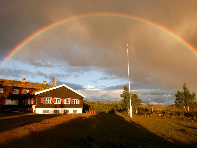
After dinner, I spotted a full very bright rainbow and a less bright double rainbow. I alerted some other guests. Even the DNT staff were outside taking photos of this impressive sight. They explained that the low sun at this latitude does mean full rainbows are relatively common but indeed this one was particularly spectacular. It was a fitting end to a superb day with magnificent scenery on my walk and a wonderful venue to stay overnight.
The forecast for the next day was excellent – dry and sunny. Walkers from Storerikvollen the previous day had taken over nine hours so a prompt start was needed to reach there by 6pm when dinner is served (another fully catered cabin and I’d already made a booking). I was packed before breakfast, which wasn’t available until 8am. As at the previous catered cabin, there was lots of food available and wrappers to pack food for lunch. The Norwegian man sitting opposite me said that I had a hard day ahead. The Danish couple were also heading for Storerikvollen and we promised that whoever arrived first would alert the cabin guardian that there may be latecomers.
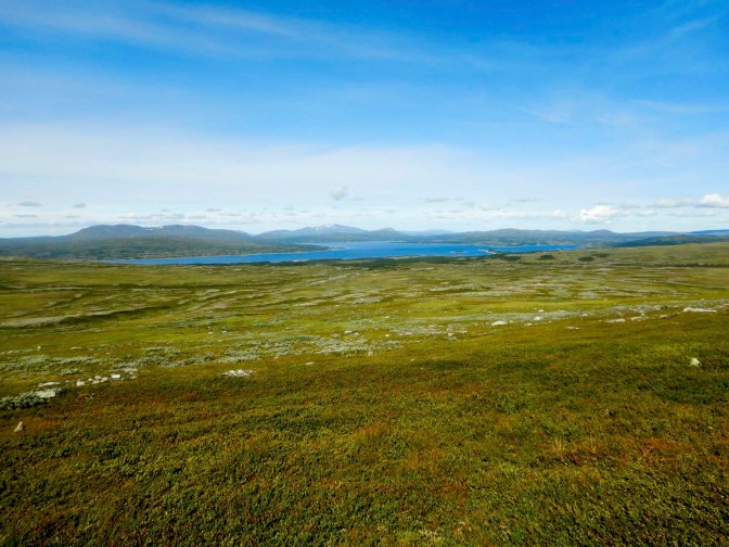
There was no initial walk-in – from the cabin a boarded and stepped path climbed straight away up on to the mountains. There was a lot of climbing but the going was easy and I established a rhythm very quickly. I even overtook the Danish couple who had left before me. The weather was perfect. I could see mountains to my right and the lake Nesjøen morphing into Esandsjøen at its north end to my left.
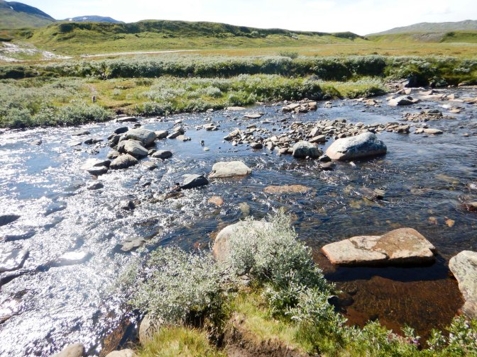
There were many stream crossings, some with bridges and two significantly wide but relatively shallow unbridged river crossings. The junctions were all signed and corresponded to what I could see on the map. A helpful sign marked the halfway point of the walk and I was surprised how quickly I had arrived there. I saw occasional reindeer and many frogs.
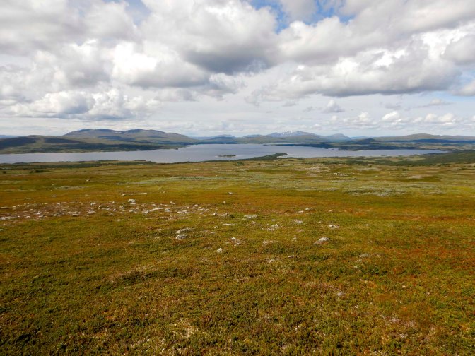
A large group of twelve accompanied by a guide crossed with me and had walked from Storerikvollen. An Austrian couple coming from the opposite direction explained that they were also walking the E1 in sections but north to south. They had planned to be walking further north but had travelled south by bus and train because the weather in northern Norway had been so bad.
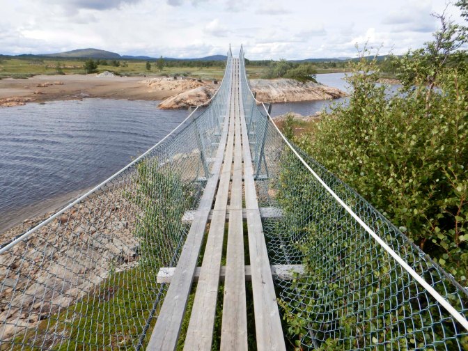
The path flattened out. There was a significant bridged water crossing on a rather scary sloping bridge with gaps between the floor planks. I should have folded and packed my trekking poles as one thing I was worried about was dropping them into the deep and turbulent water far below me.
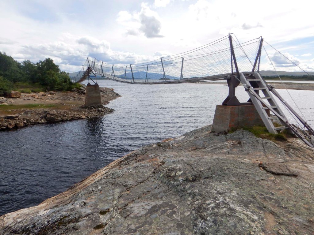
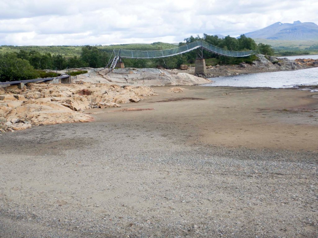
In the end I arrived at Storerikvollen before 4pm. It’s a summer farm with an outdoor dry toilet but inside showers with plentiful hot water and plenty of space in the extremely effective drying room. Once more I had a room to myself.
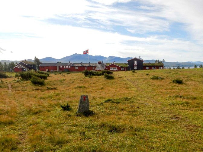
The communal dinner included delicious reindeer stew. Once more there was lots of conversation in English with the Danish couple (who also arrived well before dinner time) and with a Norwegian couple and their seventeen year old daughter who were completing a walk from west to east of Norway.
I ate another huge breakfast and packed my lunch, leaving at 09.00am with an estimated eight-hour walk time to Bjørneggen. This is a diversion from the E1 but during my planning I had thought that needed to divert either west to Meråker or east to Storlien in Sweden to buy food from a supermarket as I didn’t want to take the risk of having to buy a lot of food from the provision stores at the cabins. As it turned out, the cabin provision stores were well stocked although with limited choice and this would have been possible but expensive.
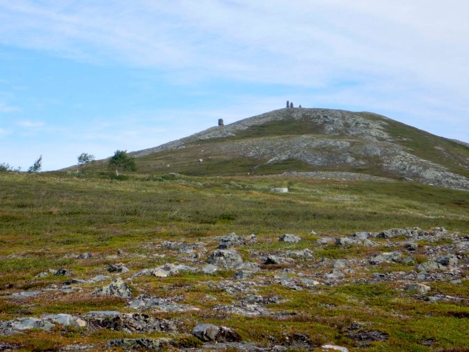
Only ten minutes after leaving Storerikvollen, there was an option to divert and climb a hill topped by a large cairn constructed for triangulation in the seventeenth century. As it was so early on I decided not to go up but continued on the main path with mountains and hills to my left and huge plains to my right.
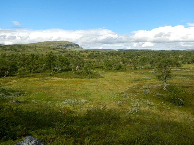
By mid-morning, I could see rain showers in the distance but somehow these missed the ridge where I was walking. There were clear T markers showing the way and also I could see a marked winter route.
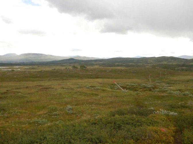
Unfortunately there was further wind and rain. I saw two people near a river crossing. The path became boggy and less distinct. I opted for an unmarked path which looked drier and was going in the right direction. Eventually I arrived in an area with farmland and sheep and then at the huge and luxurious cabin.
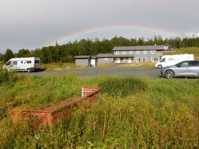
There were multiple sleeping rooms, mains water and electricity, kettles, coffee machines and even dishwashers.
The only people there overnight apart from me were a German couple from Bavaria who were travelling by campervan, a couple from Oslo and most importantly for me, Grethe who is a farmer and primary school teacher from northern Norway. Grethe had a look at my itinerary and logistics. The cabins in northern Norway don’t have provision stores and I had a ten day stretch without any shops to buy food. I had decided that I would need to find a way to travel 38km along the E12 from Umbukta (where I planned to stay in a mountain lodge) to Mo i Rana and then back again just to buy provisions. At worse this would have meant walking there and returning to Umbukta by taxi – time consuming and expensive. Amazingly for me Grethe had a solution as she explained that her farm was near enough to Umbukta for her to deliver a provision box for me to collect when I arrived there. I also found out that in Norway dried camping meals are nearly always available at supermarkets which was helpful as that hadn’t been the case in Sweden. We agreed that I would send a shopping list about a week before I was due to arrive and that I could pay her for the food by bank transfer once I returned to England. Fortunately we tried a “dummy” contact and realised that my mobile phone wouldn’t recognise Grethe’s number but we were able to make contact by e mail. I really couldn’t believe my good fortune. Grethe also showed me some photos of the footpaths further north allaying my fears that they might be less easy to follow.
The “cabin” and the company were all so pleasant that I didn’t leave until 10am after I’d done what I hoped was my share of the cabin chores. My plan had been to reach a campsite at Meraker that day which was just about twelve miles away along an unsealed road. I declined a lift from a very kind lady who stopped her car as I was walking, explaining that I was grateful for the offer but that it would be “cheating” to accept as I needed to walk all the way.
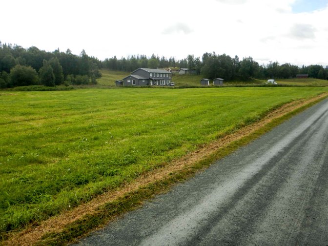
The road was quiet and scenic – farmland, river and forest.
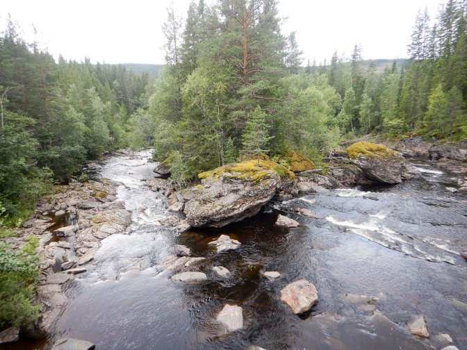
The campsite I had earmarked was closed – which I had half expected when I’d rechecked it on Google Maps the previous day. I continued to walk for a couple of miles on a back road to the far end of the town where there’s a supermarket. I arrived there at 3pm but by the time I bought my supplies and sat in the convenient foyer area with tables and chairs to eat fruit and a cake, an hour had passed.
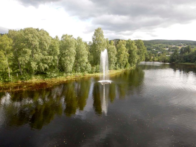
3 – 10 August Meraker to Snåsa
After my long rest at the supermarket, I decided to set off towards the DNT cabin at Ferslia around fourteen miles away on a side road which was initially surfaced then unsealed with a lot of ascent. There didn’t appear to be anywhere to stay in Meraker and I hoped to find somewhere suitable for wild camping on a lakeside near this rural road.
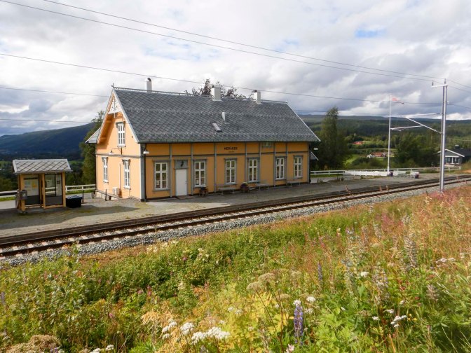
I walked past the town hall and railway station and eventually reached a ski centre. This was where the road became clay / gravel. There were a vast number of summer houses and a few farms. I walked for about ten miles and was even thinking that I might get all the way to Ferslia! However, I spotted a small sign to a lake bathing area and toilet plus car park close to where the River Langsåa enters the Feren Lake. By then I was becoming tired so this opportunity was too good to miss and it was indeed a pleasant place to camp.
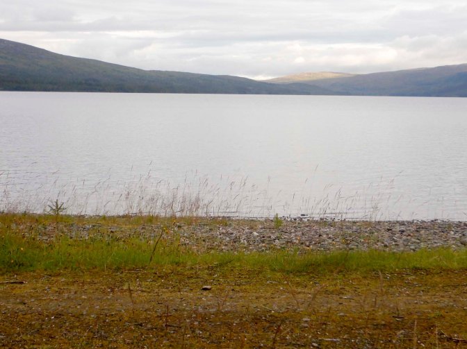
I’m glad I didn’t try to persist and get to Ferslia that evening as there was quite a climb from the lake to the cabin. The onward route turned off about 200m before the cabin so I never went as far as the accommodation. I was back on the official E1 again. However, having set off along the route, I took a wrong turning and doubled back on myself, wasting almost thirty minutes.
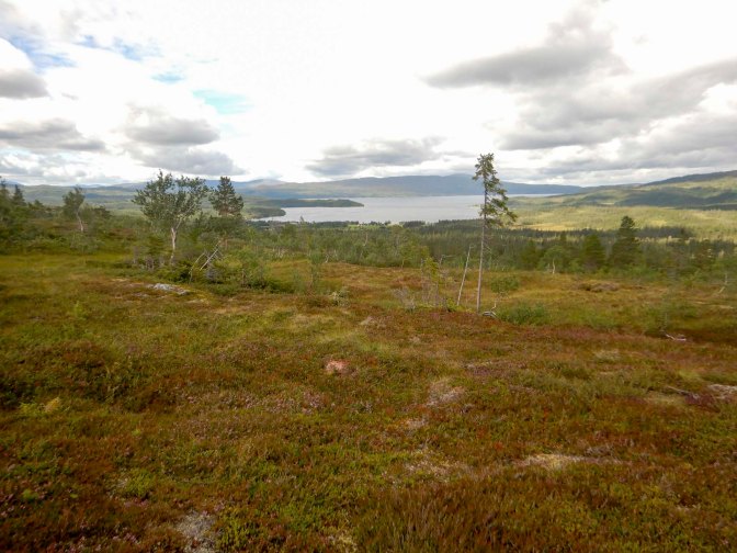
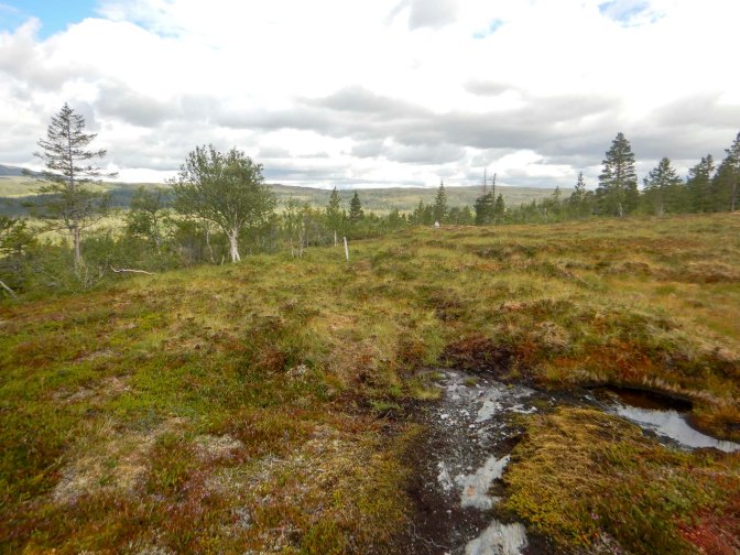
The onward route towards the next DNT cabin at Bellingstua was alternately swampy without board walks or very stony so my progress was slow.
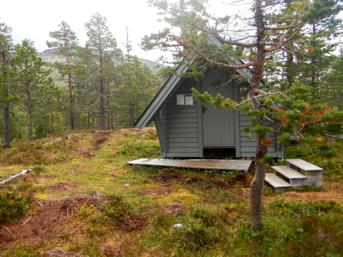
I was fortunate to find an unexpected emergency shelter where I sat and ate lunch.
The terrain continued to prove difficult to walk and I realised that I wouldn’t get as far as Bellingstua that day. It wasn’t a problem as my itinerary had me at Bellingstua the following evening anyway.
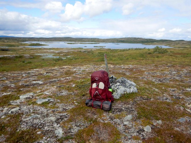
I stopped at around 5pm and set up camp in a pleasant area with good views and close to a stream. The evening was sunny but there was no signal so I wasn’t sure what the next day would bring.
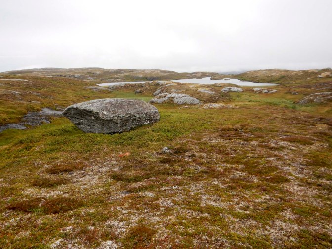
In fact my tent was almost dry when I woke at 5am but it started pouring with rain almost immediately. Despite this I was ready to leave at 7am.
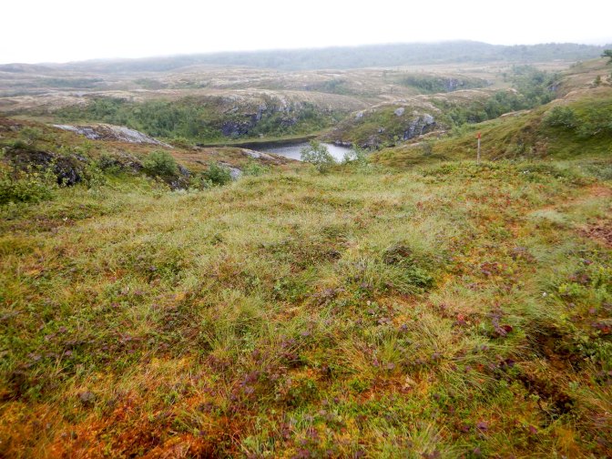
I took care on the wet and potentially slippery rocks.
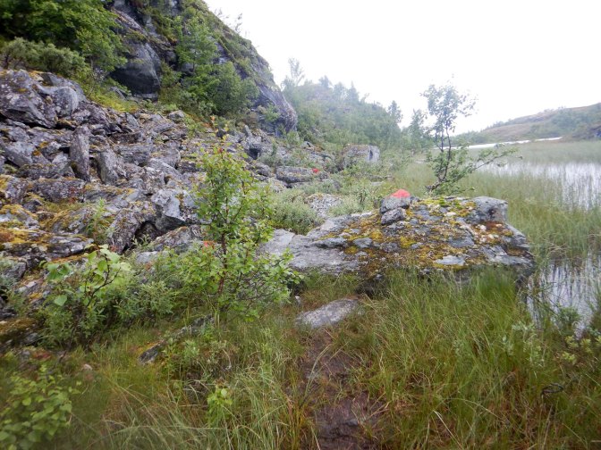
The scenery was beautiful – mountains, lakes, streams in deep valleys and woodland. There were also lots of edible berries. I was pleased to reach a cross roads of tracks and a sign pointing to Bellingstua 13km away. Sometime after this I met a man walking towards me who informed me it was only 2.5 hours further to Bellingstua. He was aiming to reach Ferslia that day so had quite a walk to complete but he told me that the weather the next day was forecast to be more rainy.
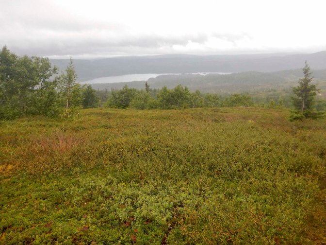
I could see the lake Innsvatnet and soon after I suddenly reached the road where of course I could walk much more quickly. I was using my GPS device to navigate. Unfortunately what I hadn’t realised was that the route I had copied from the E1 route website turned off the road along the “wrong” footpath. I should have kept on the road and then I would have arrived at a path signed for the cabin. As it was, I ended up walking across very boggy and pathless ground and the spot where the GPX co-ordinates marked the cabin was the middle of a bog! I headed for the nearest cabin as there were a few scattered around, but it was the wrong one (fortunately not occupied). I turned on my phone and found I had a signal so I resorted to Google maps to see where the DNT cabin was located. It was just 200m away.
I unlocked the cabin, relieved to have arrived. It was only 1pm, but the final mile had taken me over an hour. There was mains electricity and an excellent drying room for all my wet things. I checked on-line and found that no beds had been booked beforehand. In fact no-one else dropped in and I had the entire cabin to myself. I made the most of the food available in the provisions cupboard – meat stew for lunch and a pasta mix with tinned mackerel for dinner plus plenty of time to rest.
The forecast for the next day was indeed for heavier rain all day. However, when I eventually left around 08.15am it wasn’t raining at all. I followed the path to leave the cabin and of course I reached the road in “no time at all”.
At the place where I had to turn off the road, there were warning notices – as I had a signal I used Google translate to discover that it was to warn the boardwalks could be slippery. However, I was delighted that there were good solid board walks and I was fortunate that the wind had dried the boards.
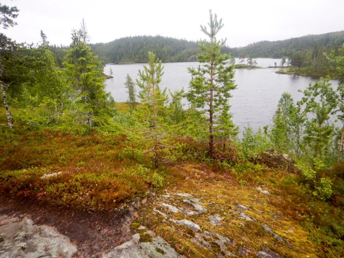
The good path ended near some summer cabins and the path was a slippery mess, unprotected by boardwalks. I did enjoy eating many cloudberries and blueberries.
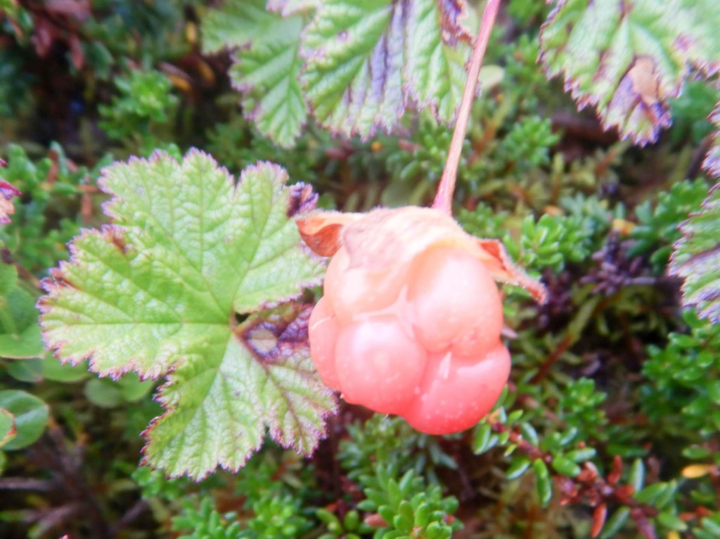
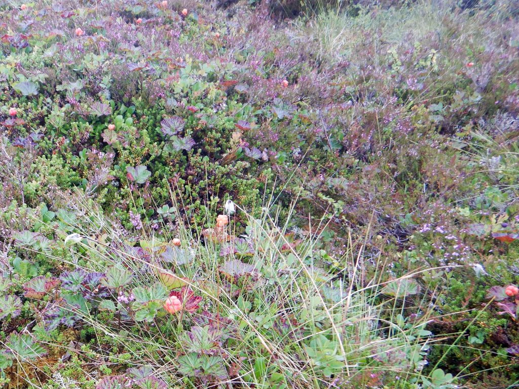
I stopped for lunch in a place where I had a good view of Veresvatnet which was the lake I was heading for.
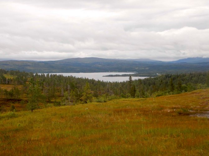
Unfortunately after lunch I missed a turning and realised I was off route. I backtracked and tried to take a short cut on to my marked route. The red markers were all very faded and it looked as though the path through the forest and over a few streams hadn’t been used recently.
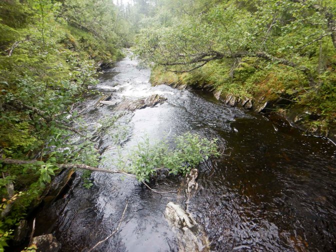
Perhaps I had been on the new route previously and hadn’t missed a turning after all. Eventually I arrived at a large clearing where there was a car park with a single car. There was a sign on one of the paths pointing to Bellingstua but it wasn’t the path I had arrived on.
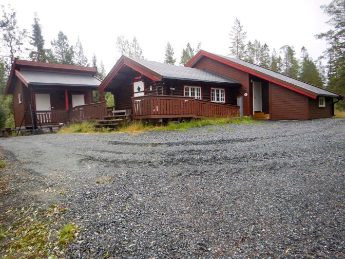
I had a further mile on the gravel road to reach the DNT cabin: Veresstua. I had enjoyed a more or less dry day despite the forecast but the rain began as I started that final mile. Once again, I turned out to be the only person staying. There was mains electricity too.
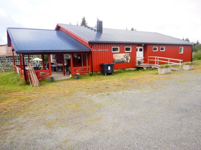
As I had 29km to walk the next day and it could be slow as mainly off road, I got up at 5am and was away by 7am. The weather forecast was for rain all day but I was fortunate. The early morning rain stopped after thirty minutes which was more or less the time I left the road near Vera village community centre.
I entered the National Park and reached a high point with wonderful views after which the path was undulating.
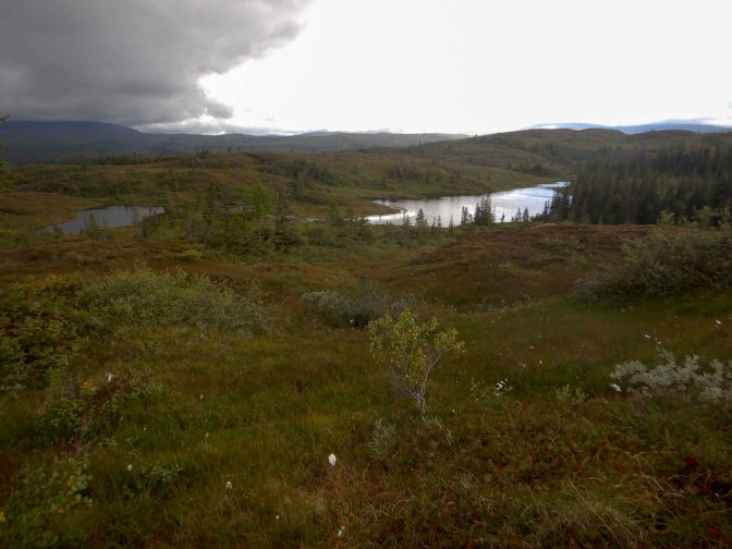
I had to cross a significant unbridged river at around 10.30am so I took off my socks and removed the insoles from my boots to wade across. On the other side, I drained my boots and ate a very early lunch which seemed fine given my early breakfast. There was lots of free food too – cloudberries and blueberries.
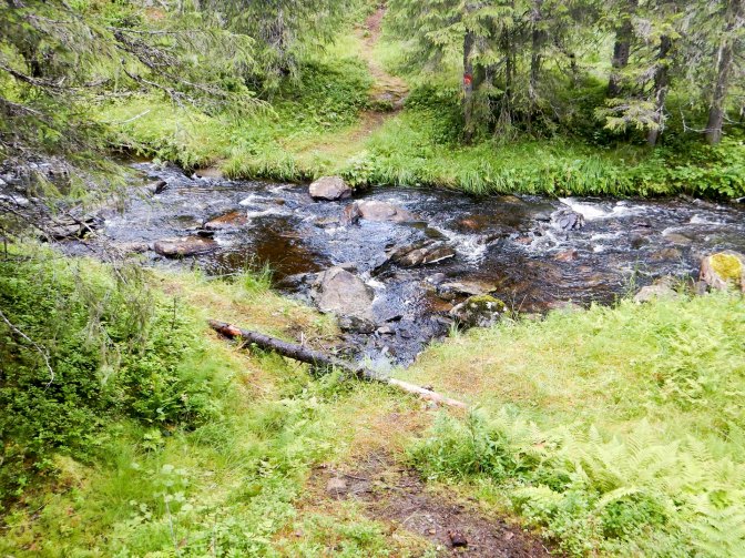
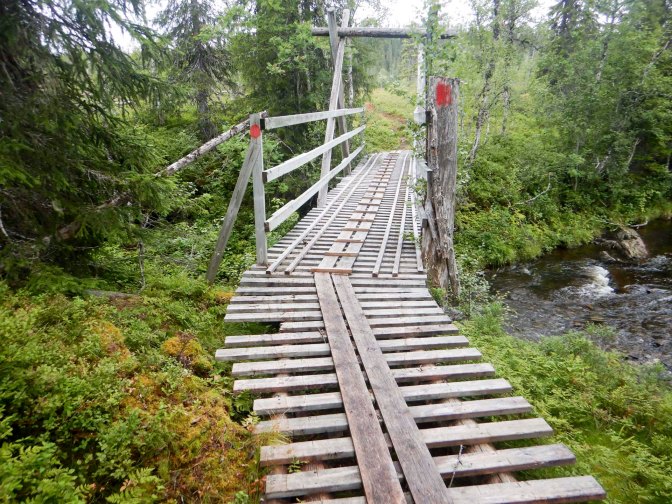
I reached Storvukuseteren, a summer farm in the middle of nowhere, which at least helped to confirm I was going the right way. Soon afterwards, I left the National Park which coincided with there being several helpful boardwalks over the swamps and a high bridge across a river. However, all too soon the boardwalks petered out and stopped so I was splashing over swamps.
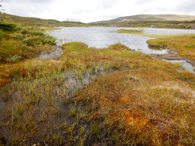
I climbed up over another mountain range then followed a convoluted route around lakes. There were intermittent rain showers but it certainly wasn’t as bad as the forecast. There must have been some farms in the area as I saw sheep and heard their jangling bells. Everything seemed to be going well.
However, I was only about 4km from my destination when disaster struck. having tried to be careful about slippery stones, I took a step on to what turned out to be a treacherously slippery slab of rock and fell on to my left side, next to hit the rock was my left elbow and then more seriously the left side of my head and forehead. Fortunately, I wasn’t wearing my glasses (varifocals but mainly needed for reading) as it was raining. I definitely didn’t get knocked out as I remember it all and I didn’t lose any time. I had a huge traumatic olecranon bursa (fluid-filled lump on the elbow) and there was a cut on my forehead which of course I couldn’t see. I felt fine otherwise so after getting up I continued to walk to the next cabin. However, I was slowed down by the fact that I was bypassing any flat slabs of stone of which there were lots.
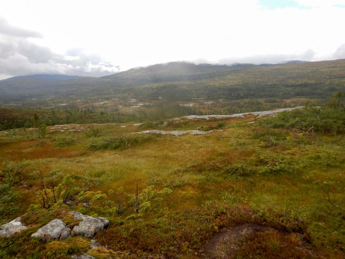
On my way down, I met and talked to a couple of men walking to a fishing spot, but had my hood up so my injury wasn’t apparent.
That final 4km took me about two and a half hours on the difficult wet path.
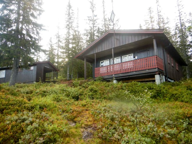
There weren’t any other people there when I arrived at Skjækerdalshytta, but I knew that there was a booking. By the time those people arrived, I’d settled in, collected some water and just about got the fire going in the woodburning stove. I’d also cleaned up what turned out to be a relatively small cut on my head, although there was also a visible bruise. The other people were much more soaked than I had been. They’d camped the previous night and all their clothes and equipment were soaked. The cabin had an excellent drying room with a second wood burning stove which they soon had going. They were a professor in marine structures together with his daughter and his daughter’s friend, so at least there was a responsible adult in case I had any delayed repercussions of my injury. We all enjoyed an evening recounting adventures and they even gave me their leftover dinner after they cooked more than they could eat which I ate in addition to my own food.
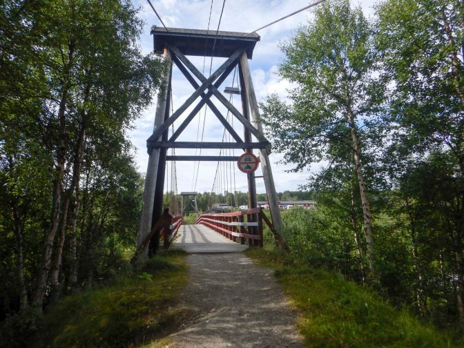
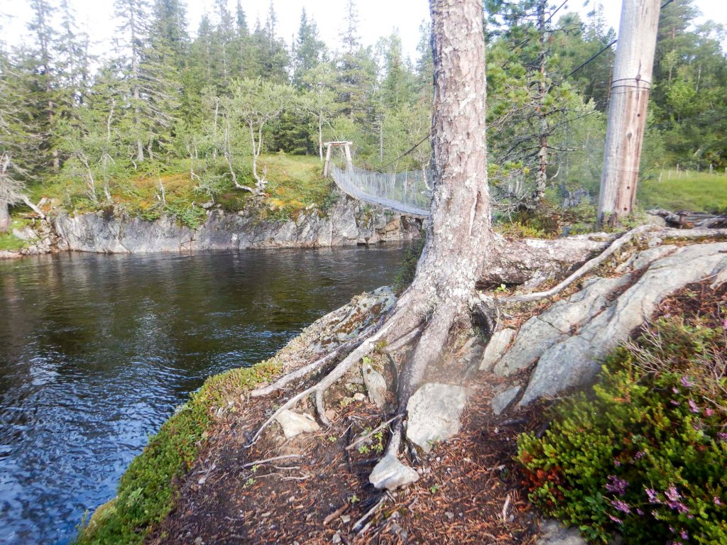
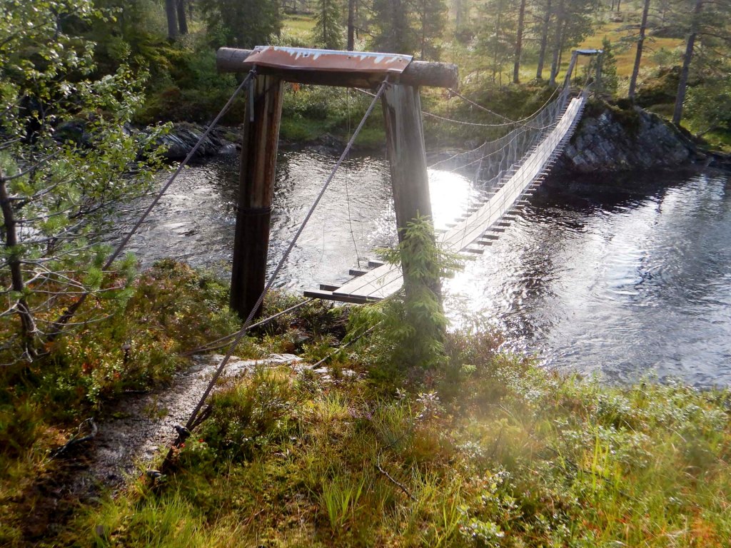
Fortunately I was still fine the next morning and ready to leave before 08.00am. My route once again deviated from the official E1 to avoid some walking over terrain where there are no markings, no path and river crossings that appear to be impassable quite a lot of the time. I walked further down the valley side to the river which I crossed on a rather frightening suspension bridge.
I reached a summer village and then climbed over two mountain ridges with tremendous views of mountains and lakes; it was all much slower than I had hoped as the path was rocky with a lot of large slabs to negotiate, together with what would have been fairly easy scrambling except that I was carrying a large and heavy rucksack.
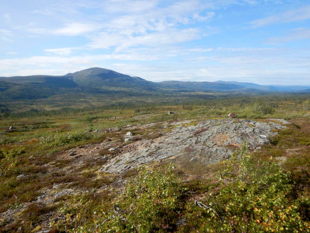
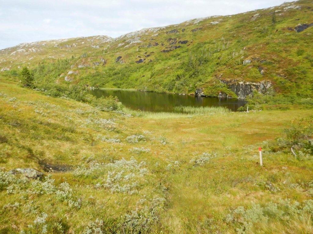
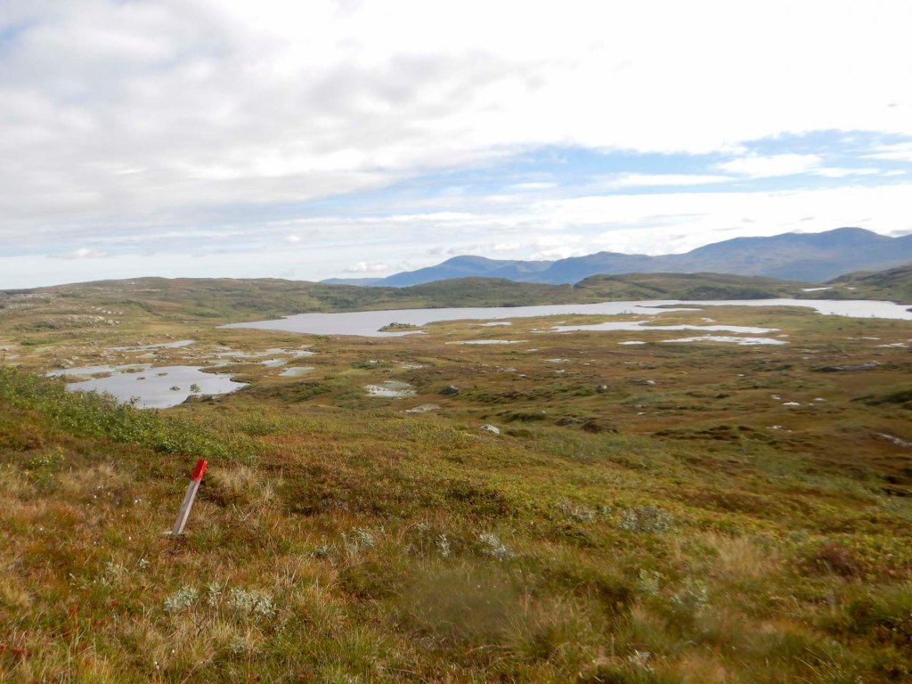
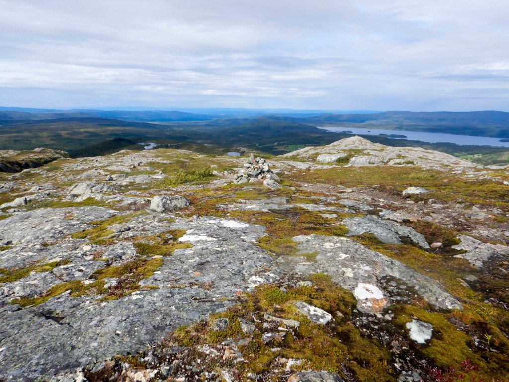
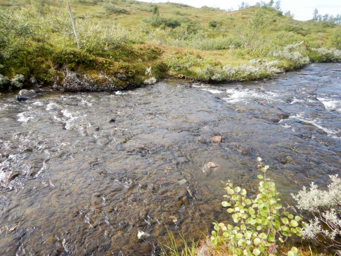
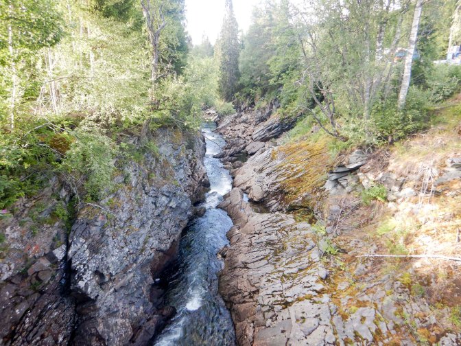
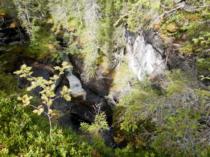
The route passed through a gorge followed by a further 2km walking along a riverside culminating in some dramatic waterfalls. The first eight miles of my eighteen mile route had taken over five hours.
My planned destination was a summer farm at Holingsetern advertised as a campsite with cabins which I thought had a short summer open season between mid July and mid August. I made good progress along a clay road and track past a lake, rivers and forest.
Next there was a boggy footpath which was indistinct at times along a twisty route and finally I reached a track near the farm. I arrived to find that there was indeed a farm with accommodation and a children’s play area but it was completely deserted apart from a few sheep. The toilet block was unlocked.
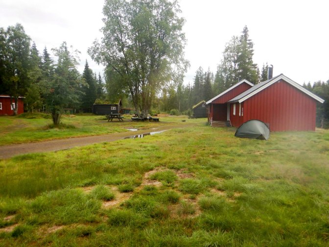
There was plenty of flat ground and a river nearby to collect water; it was late in the day and I was too tired to walk significantly further. I was able to pitch my tent just before the rain which had been threatening for some time began in earnest.
I wasn’t surprised that the entire place was still deserted the next morning. As I had camped on their land and used their toilet, I left a note and some cash to cover the cost of my stay.
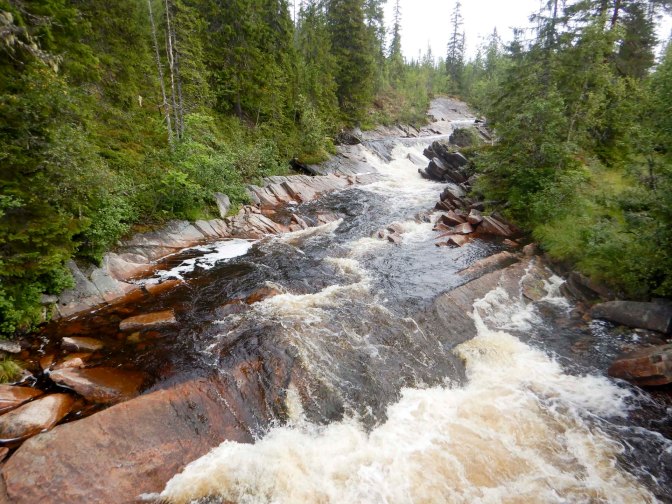
I returned to the unsealed road which continued for mile after mile through forested areas with occasional views of lakes and mountains. I saw occasional sheep and reindeer. There were a few summer houses but by the time I stopped for lunch I hadn’t seen any moving vehicles. While I was eating lunch, a couple of vehicles passed going towards Holingseteren.
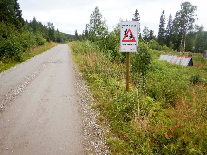
I reached the end of the unsealed road where there was a notice about vehicle tolls and a surveillance camera as well as a notice warning of bears. I followed a surfaced road past some houses where there were robotic lawnmowers cutting the grass and a person mowing his lawn.
Soon I passed on to another unsealed toll road. It started to rain heavily as the clay road degenerated into a track. I found the point where I needed to turn off on to a path which turned out to be waymarked in part and very boggy. By the time I reached the lake where I had planned to camp, I was soaked. Sadly there didn’t seem to be any flat, dry ground where I could camp.
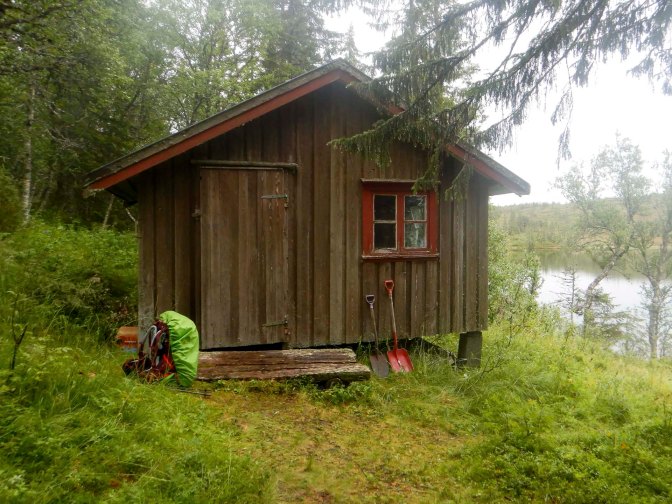
I arrived at a cabin with an unlocked door. Thinking it was a public cabin, I ventured inside having removed my boots. Once inside, it was clear that the cabin was one that belonged to an individual or group. However, I was in the middle of nowhere in the pouring rain with no place that I could see to put my tent. I was also becoming cold as well as wet. I saw a Hyttebuch (hut log) on the table and saw that various different people had stayed in the cabin. I decided that, in the circumstances, it was probably best for me to sleep in the dry cabin overnight and hope that no-one else was planning to stay. There was plenty of wood so I used this to light the wood burning stove so I could warm up and dry out. However, I used my own camping stove to cook my food. For the second consecutive night I was staying uninvited on private property unbeknown to the owners. I swept out the cabin in the morning and left cash together with a note to explain what had happened.
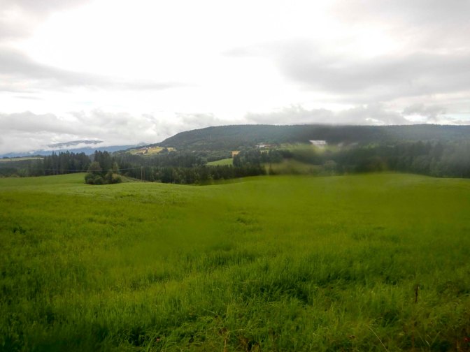
I navigated the rest of the “path” with the help of my GPS before reaching a track then an unsealed road past farms. I arrived at a tarred road and had a two mile diversion each way to reach the supermarket at Snåsa.
10 – 16 August Snåsa to the Swedish border
My rucksack was full again having replenished my provisions. I returned to where I had joined the road and then continued up the road past a few farms and a Montessori School which presumably serves a large rural area. A sign mentioned accommodation available at Landsem Gård on my route and well placed as an overnight stopped. By then I had turned on to a smaller road. It was raining again and I was keen to try to keep my tent dry – the forecast for the next day was rainy and I realised that I might struggle to dry my tent if I used it on this night. When I arrived at the farm, it looked promising. A second sign advised that there was accommodation and there appeared to be a number of buildings on the site.
The door of the farm was answered by an elderly but spritely man who turned out to be the farmer. In fact he was eighty years old, had been born at the farm and had taken over the farm with a large flock of sheep at the age of 22 when his father died. He invited me in so after removing my wet waterproofs and boots, I found myself sitting in his kitchen while his wife was preparing blueberries which the couple and their grandchildren had picked earlier in the day before the rain started. I explained that I was seeking an overnight room as my tent was dry and I was keen to keep it dry to use the following night. He contacted his daughter by mobile and there was much discussion in Norwegian following which his daughter arrived in person. I had assumed that this was a bed and breakfast establishment, given the signage. However, the situation was that there was a self catering annexe at the farm which was already booked and two further buildings off-site available to rent for holidays. The best option they could offer was a stay in a cabin about a kilometre further along the road in the direction I needed to walk and then a kilometre diversion off the road. However normally only two night minimum stays are offered. I was offered a deal with discount which seemed very fair given Norwegian prices and the fact that I could have stayed for two nights for the same price.
They wanted to give me a lift to the footpath leading to the cabin but I was keen to walk, given my plan to cross Scandinavia on foot. Despite their doubts about me finding the way (apparently previous visitors had got lost), it was all very straightforward – a path through a gate before a bridge and next to a car parking space and then near a fence to the cabin near a lake. I’d promised to phone the daughter when I arrived but couldn’t make the call; fortunately a text worked!
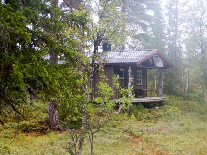
I got the wood burner going, fetched water from about 100m away and washed nearly all my clothes given I had such a good fire in the wood burner to dry everything and had the place to myself. Unfortunately, I didn’t have opportunity to take the boat on to the lake – and I would have been dubious about doing this on my own, or to relax in the hammock slung between a couple of trees. It was tempting to stay for two nights but then I would have got behind schedule and run short of food before my next restock point.
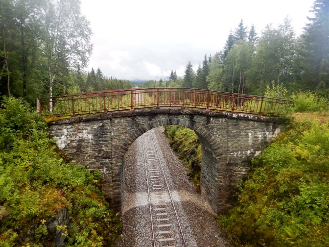
While I was waiting at the farm, the farmer had explained that there is a walkable path close to the railway line all the way to the road and bridge near Formofoss. This “saved” me over a mile of walking where I had thought there was no path (on the map it was so close to the railway line that it was unclear whether there is a path so I had deviated along another track). The route near the railway line was very scenic – mountain views, forest, rivers and gorges. Part of it is open to cars but only one vehicle passed me all the way to the main road (about twelve miles).
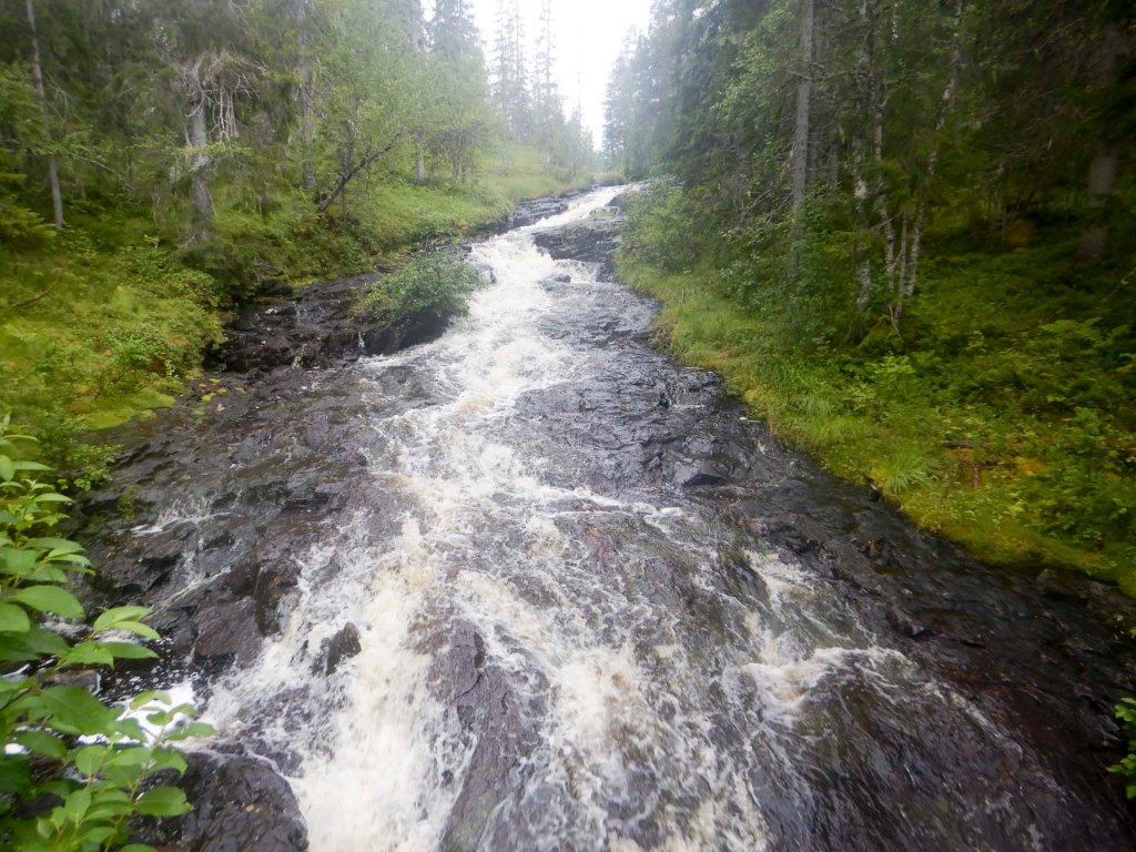
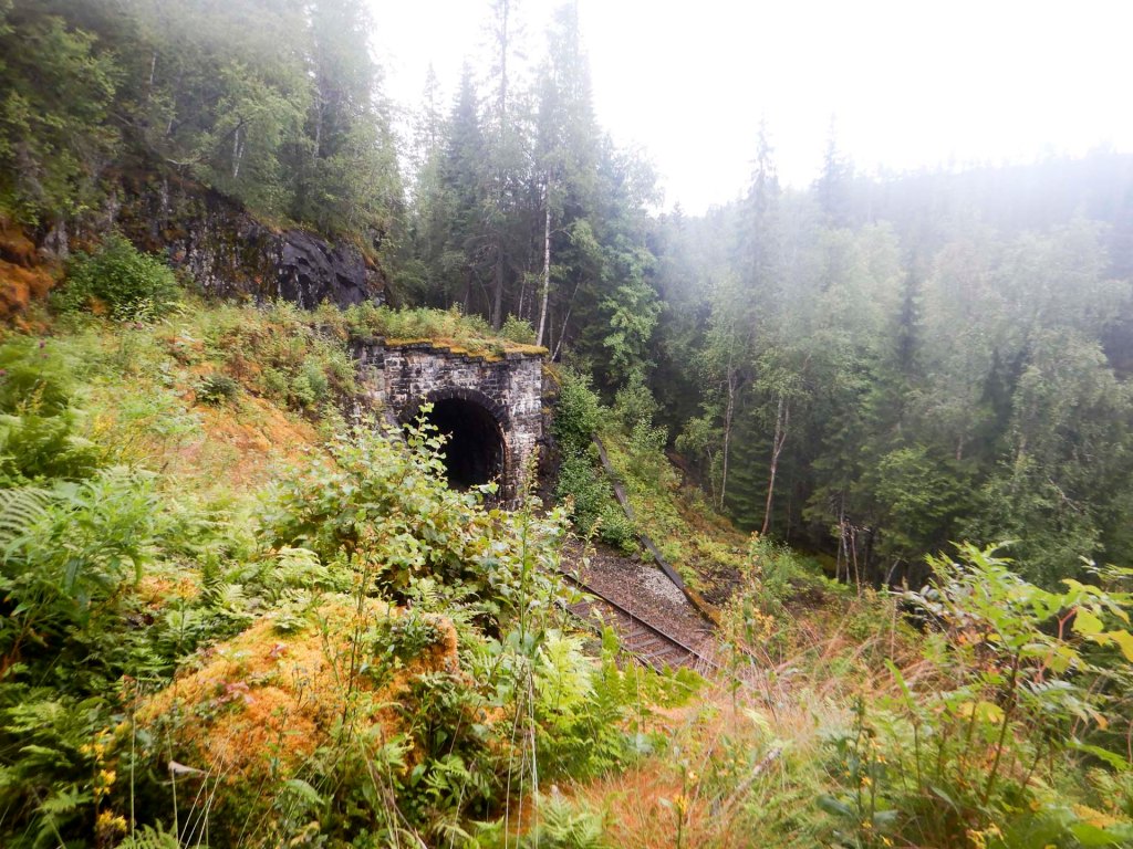
I crossed the huge, deep, wide and fast flowing river on the road bridge and then had to walk for around eleven miles on a soul-destroying trek along the side of a main road (the 74). Near the beginning I was offered a lift but declined; by the end I would have been sorely tempted…
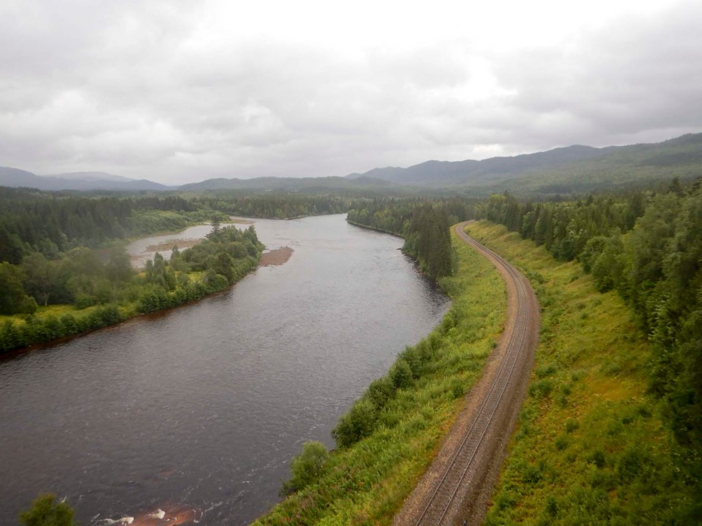
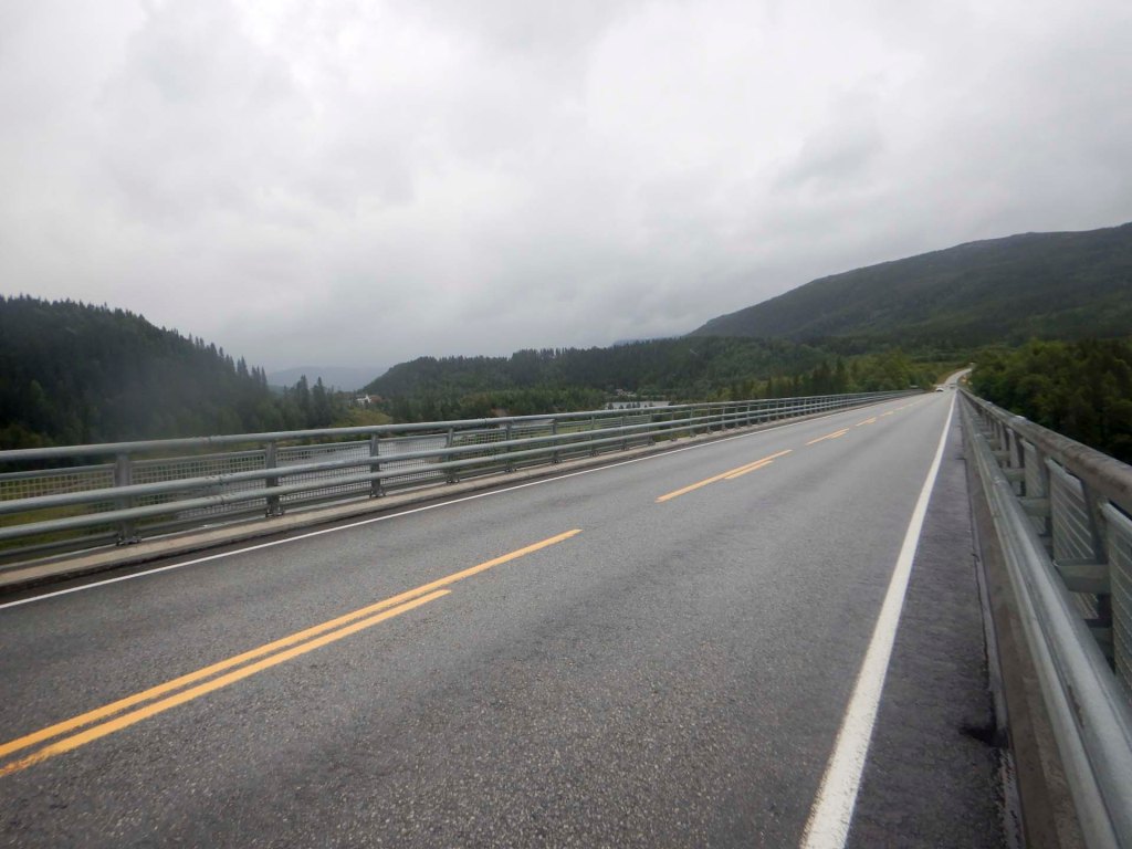
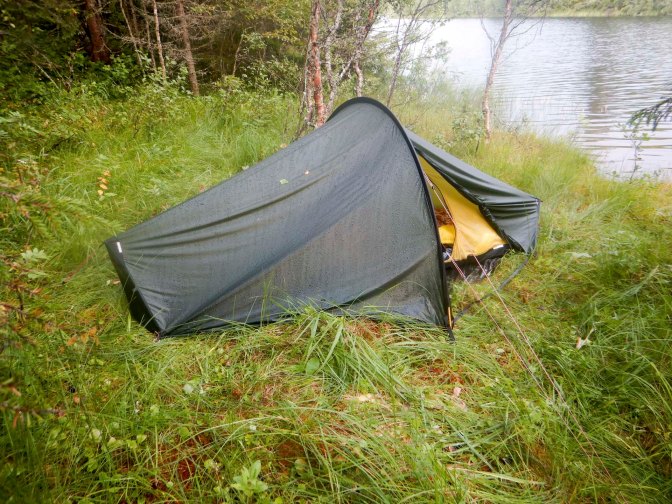
Eventually I reached the point where the track I planned to walk turned off the main road. I had to walk uphill and realised just how tired my legs had become. I found a patch of flat grass to camp near a lake where it wasn’t too boggy.
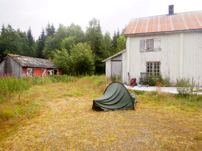
The track to Berg seemed to be uphill almost all the way. There’s an old summer farm which appeared to be under renovation. It wasn’t raining so I took advantage of the dry flat ground in front of the empty house to dry my tent for an hour while I ate an early lunch.
The path to Skorovashøtta (43km away) was signed which was a very promising start. Obviously that was further than I would be going on this day. All went well initially with many (too many?) way markers along the path in the forest. However, once I reached open mountain above the main tree line, the route proved to be difficult to follow.
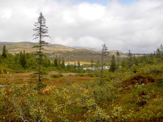
I reached a rather dilapidated emergency shelter which was unlocked so I spent a few minutes there checking my map and having a snack and well earned rest out of the wind. I struggled to secure the door on leaving, but managed in the end.
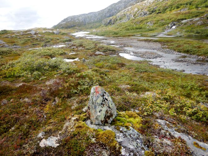
I followed some red T markers, heading north which was correct but not on the same line marked on the map. They soon disappeared anyway so I tried to use my GPS to help to navigate to the marked path, where there were no markers. I tried to navigate along the line of the path marked on the map and ended up crossing the same stream twice, which was annoying as it was sufficiently deep for me to get wet feet.
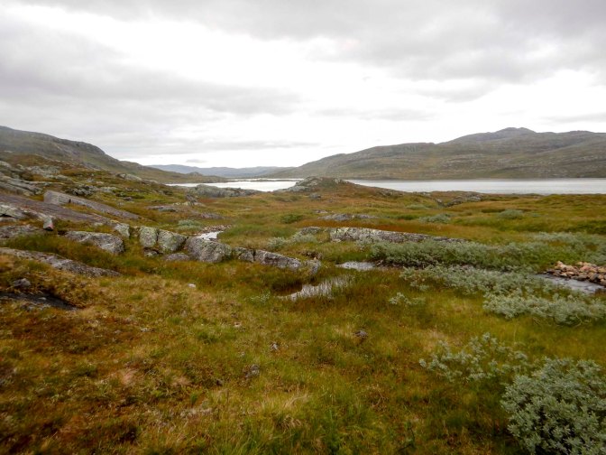
Eventually I reached some way markers near the edge of a lake; they were on the path marked on the map. I was sure that I had noticed some bear faeces as I walked but fortunately I didn’t see any bears. I was still following way markers when I noticed that the light was fading and everything seemed to be very quiet. I remembered that this was the evening of the solar eclipse. The sun was mainly obscured by cloud and of course I knew it’s dangerous to look at it. However, I definitely noticed that it was quite dark as I arrived near the lake Reinsjøen where I had planned to camp so I pitched my tent. Later on it became lighter again.
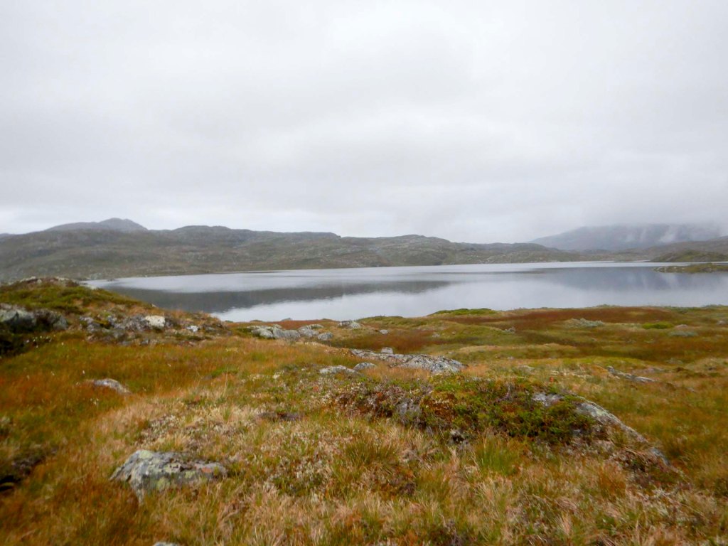
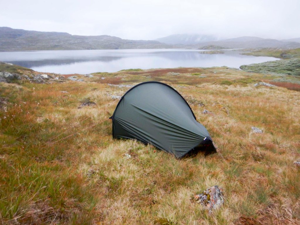
It was almost unbelievable given the paucity of way markers that I could see three from my tent. It rained all night and the firm dry ground where I’d chosen to camp was saturated by the morning. My tent was absolutely saturated and it was still raining.
I followed way markers initially even though they weren’t in the same place as the path marked on the map. They seemed to be taking me in approximately the right direction so I thought the path may have been re-routed. However, I soon lost the markers on the ground. there were many streams and rivers to cross – my boots were soaked through. In addition to the rain, there was significant wind chill too so, with navigation difficulties too, everything was very challenging.
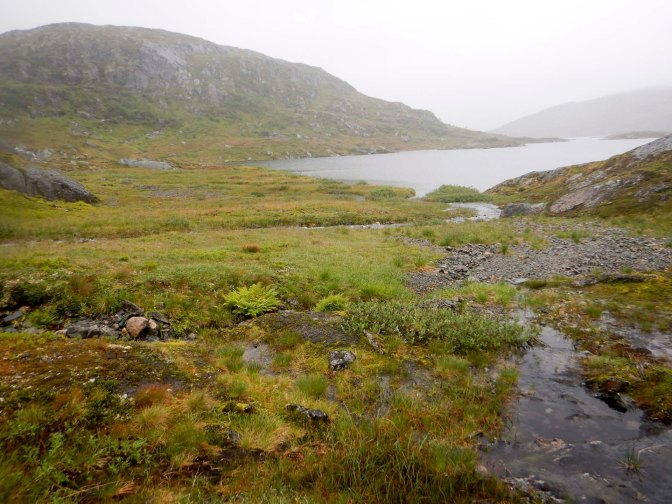
I reached a river which I could see wasn’t crossable. This all looked impossible. However, a few moments later, I saw a bridge further upstream. It wasn’t in the position marked on the map as the river crossing point. At that stage, despite walking much further to avoid rocks, swamps and water, I had only made 1km of forward progress in an hour.
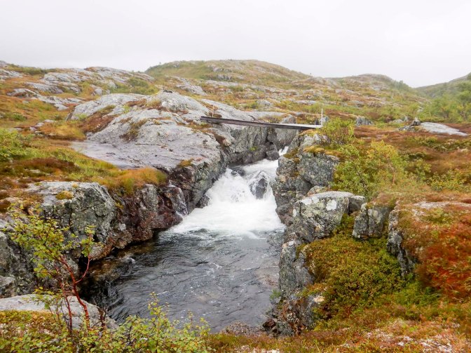
Crossing the bridge was terrifying! It was high above very rocky and fast flowing, turbulent rapids with just a wire hand rail on one side only. The floor of the bridge was slightly twisted and sloping as well as being wet so I was concerned that it could be slippery. Having crossed the bridge, there was wet sloping rock to negotiate before I would be safe.
However, on the far side of the bridge there were red markers. I also saw a couple of cabins next to the lake Midtre Nesåvatnet but didn’t walk to them (having checked on-line now I think they’re locked and need to be booked). I was actually back on the official E1 route.
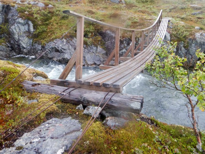
I reached a second bridge which was less scary, although it still only had one side rail and I was worried about my foot slipping between the wooden planks.
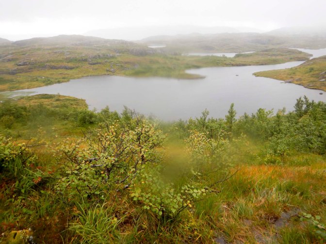
The path markers seemed to improve. I passed an old coat hanging on a post but then “lost” the markers again and arrived at a point where it looked impossible to cross another river. I went back to look for any marker I had missed and thought I’d found one. However ten minutes later I saw the old coat on the post again and realised I’d turned through 180 degrees, which I confirmed when I looked at my map and compass. I turned back again. This time, I spotted a faint red marking to my right, which I’d missed last time.
Eventually I reached the saddle point I had been aiming for. Here there’s a path crossroads and a DNT cabin Finnkruhøtta only 3km away (a diversion from my overall route). However, I was concerned because it only has four places and the DNT site had it as “not available” for that night. Given how wet everything was (including my tent) I definitely needed to be inside. The alternative was to head straight for the DNT cabin Skorovashøtta which was signposted as 8km distant and I had time to get there. This would put me a day ahead but I would have a rest day.
I opted for the Skorovashøtta choice. However, my troubles weren’t over. There was more climbing to do and more rivers to cross, some of which were very close to treacherous drops over waterfalls.
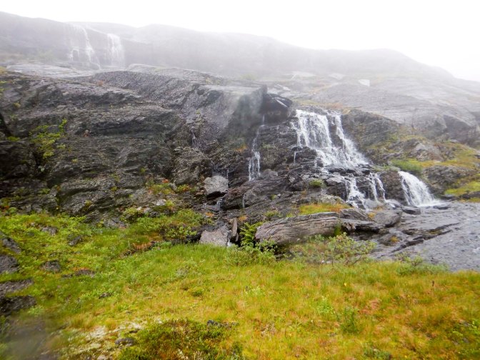
Fortunately I managed to keep on the route, although it needed a careful lookout at times to avoid missing way marks. The rain became even more heavy and the wind was cold.
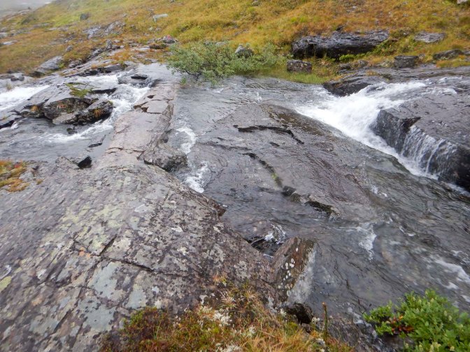
Eventually I was sure that I could see the small disused mining village of Skorovatn – the cabin was originally a residential building for workers at the mine which closed in the 1980s. However, there was still a long way to descend and I had to be very careful on the wet rock. Eventually I reached a zig-zag grit road and completed my descent to the village.
I asked a woman who was walking a dog with her daughter and grandchildren whether she could direct me to the DNT cabin. They kindly insisted on accompanying me there because they knew a short cut along a footpath between houses.
The cabin was actually a semi-detached house with electricity powering heaters and providing hot water as well as mains water so there was an inside flush toilet. I couldn’t believe my good fortune! As the cabin is in a village, there’s 4G data signal too so I was able to use Google translate camera to understand notices written in Norwegian. Nonetheless, I struggled to find the basement which was where I had to go to turn on the water. I thought there might be an outside entrance but in fact it was reached by walking into the cupboard under the stairs. There was no light so I descended the stairs to the basement with the aid of my head light before switching on the light in the basement. I had a water supply!
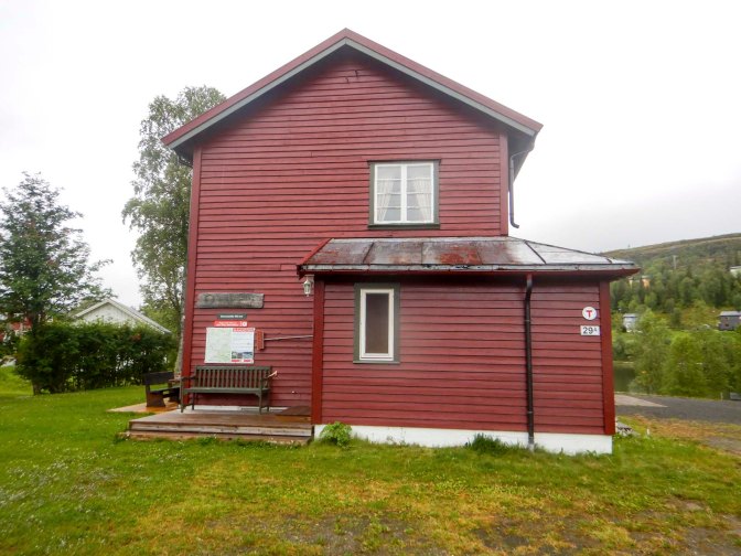
There were no other guests although I could see from the book that it was often quite a busy place.
I couldn’t find a drying room so I hung my tent from a hook and let it drip into a bucket. I had so much to dry and spread it round the downstairs living room, kitchen and hall in front of electric heaters. The electric heaters all worked so well that I didn’t light a fire in the wood burner.
It was a good day to stay in and rest as it rained almost continuously until the evening. I ventured out to the supermarket soon after 10am – it turned out to be available 24 hours for self-service but manned from 11am to 3pm. However, the helpful shopkeeper had just arrived and so I managed to get in and make my purchases without needing to follow the complex-looking instructions involving scanning a QR code to gain entry in a secure way when it was unmanned. Interestingly, she told me that she prefers to be served rather than use self-service when she does her shopping! She also explained to me where to find the central bins in the village so I could take rubbish from the cabin which had been left under the kitchen sink by previous guests.
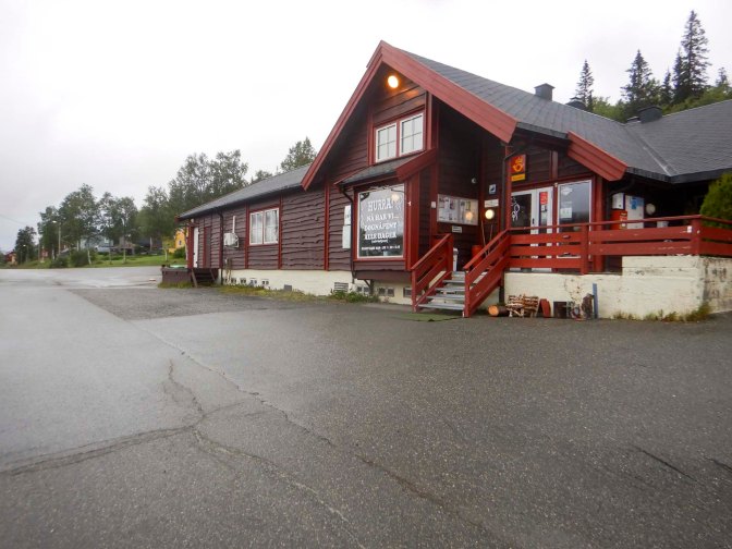
It wasn’t until late in the afternoon that I ventured to the basement as I remembered that I had intended to check on a possible drip from one of the pipes – I’d noticed it when I turned the water on. Fortunately all was fine. However, I noticed two unlocked doors and wondered what was behind them – one turned out to be the wood store with a second woodburning stove and drying room while the second revealed a shower! By then I’d dried everything so it was a bit too late!
The rain stopped in the early evening and I wandered round the almost deserted village. There’s a camper van site, a small Red Cross station, a very small fire station and a locked church which was built in the 1960s. There’s a pub open weekly on Saturdays.
The next day I had a mammoth twenty-seven mile walk ahead of me, albeit on road rather than paths. The official E1 route follows a large amount of this road and the website even mentions that many walkers follow the full road route as the part that’s off road isn’t way marked.
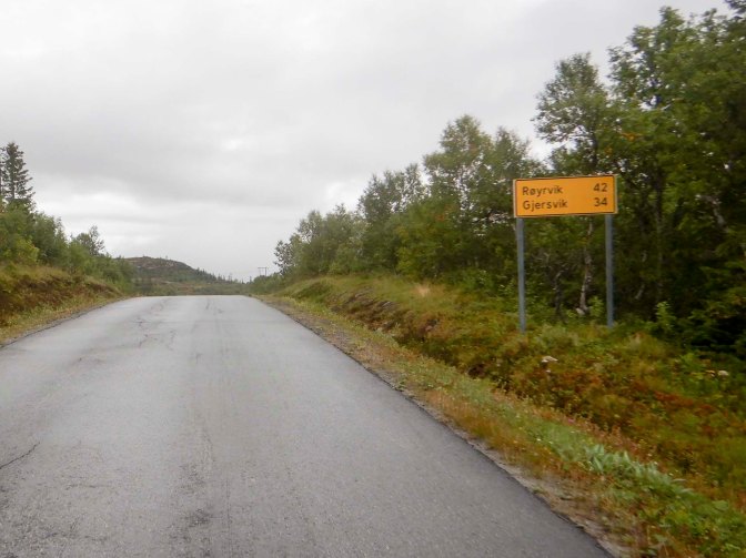
The roads weren’t busy – I didn’t see any vehicles at all for the first two hours of walking and after that I think I only saw about twenty cars all day until the last five to six kilometres where there was a vehicle passing every ten – fifteen minutes or so. The scenery was that of typical rural Norway with lakes, forest, streams, rivers and waterfalls, summer cabins and working farms.
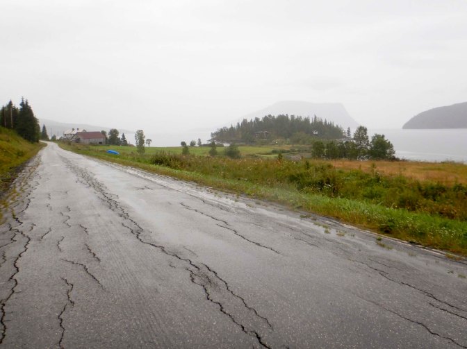
I rechecked on-line and found that there were still no vacancies at the hotel in Røyrvik so there would be no need for me to make the half mile or so diversion from the road I was on to the village. I started looking for possible camping spots before I arrived at the turning and spotted a reasonably flat grassy clearing near a stream where I could camp just out of sight of the road. This was a couple of miles before the turning, but my planned walk for the next day wasn’t as long.
The night was almost dry but I had a lot of condensation on my tent. I was walking by 07.15am and the road was almost deserted so early on a Sunday morning. I passed the turning to Børgefjell National Park and so once again I was following my own route rather than the E1. I had read accounts of traversing the National Park which is clearly a serious and difficult undertaking. However, I had found some information saying that a bridge at the north end of the Park over the Tiplingelva had been swept away with no plans to replace it in the immediate future. I understood that the river would be uncrossable without the bridge, although there was a potential way around but no marked path. This was the final straw for me so I looked for an alternative route, avoiding Børgefjell National Park. Having rechecked the Børgefjell National Park website now I’m back at home, it appears that the bridge has been replaced sometime this year but, at the time I was planning, the most promising option seemed to be a diversion into Sweden.
I continued to walk along the road, soon passing what appeared to be a Sami reindeer farm. An uphill stetch followed until I arrived near the side of a lake.
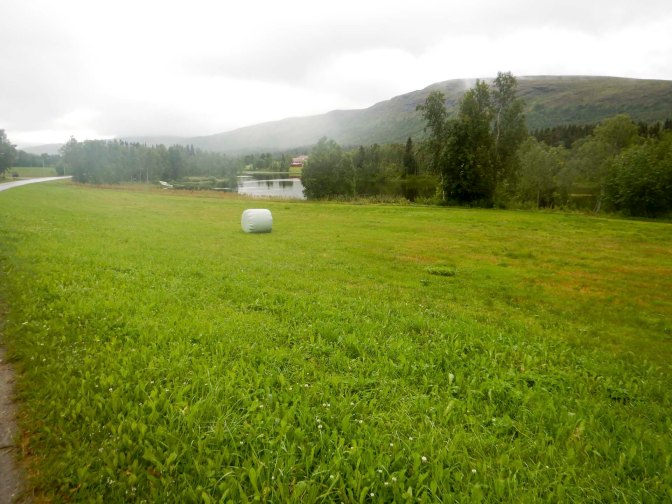
I had a long stop to dry my tent. I was going to have to camp so I needed to make sure it was dry ready for the evening. The hotel at Stora Blåsjön was fully booked but there’s a campsite near the lake.
After my long walk the previous day, I was hungry and tired so I kept stopping for snacks, aware that I would be going to the supermarket in Stora Blåsjön the following morning so there was no need to ration my food.
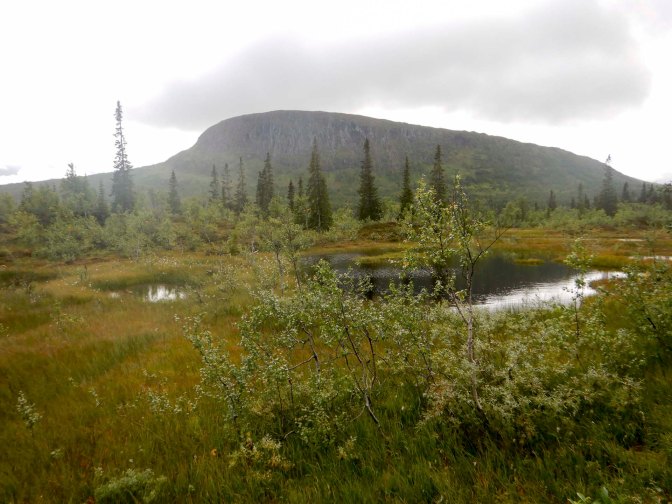
At last I could see the distinctive rocky outcrop Ovrevaartoe Orklumpen on my right and it wasn’t long before I reached the border with Sweden, where I walked straight through.
16 – 22 August The Diversion through Sweden
There was more uphill walking. The road passes through the middle of Stora Blåsjön campsite. The owner was mowing the grass near reception and booked me in very efficiently. I think I was charged a discounted price, possibly because I was walking. Anyway it was only 250 Swedish krone (less than £20), and included hot showers where there was even a hairdryer provided, cooking facilities and a comfortable indoor seating area as well as the tent pitch. There was an honesty food shop so I ate lasagne and a small pizza for dinner so as to save my dried camping food as I knew there was little chance of restocking this from a Swedish supermarket. In the morning when I settled my bill for the food I’d eaten, I was given a free cinnamon bun too! Moreover all the “campers” (caravan and campervan) I met there were incredibly friendly.
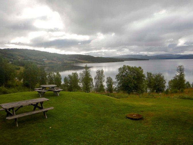
It was 10.15 by the time I left – the ICA supermarket didn’t open until 09.30 and I had to pack the food and eat my fruit after I’d bought it. There was a lot of uphill walking but the views were wonderful and I reached the road near the lake Ankarvattnet in around four hours. Unfortunately there were roadworks on the bridge so I couldn’t stop to take photos.
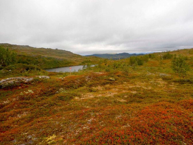
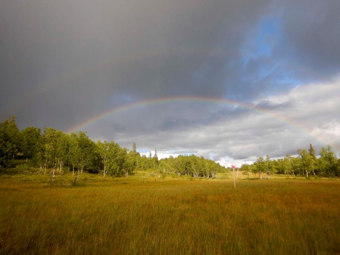
The onward route to Tjärnbäcken was swampy and slightly uphill, the combination making it quite hard work. I saw a beautiful full rainbow but of course that meant showers were near and I was soon pulling on my waterproofs.
With the late start, it was after 7pm when I arrived at the small cabin containing a table and two sleeping benches. The woodburning stove was only for use in emergencies so I didn’t light a fire but I slept in the cabin as I thought it was unlikely anyone else would be coming later and I planned to leave early the next morning.
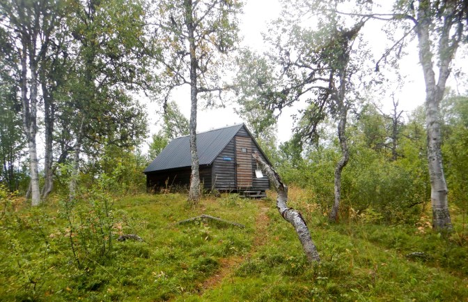
Indeed I was away just after 07.00am, delighted the weather was dry given that rain had been forecast. Forest with many tree roots and much undergrowth on the path alternating with swamps made for slow walking. Cloud berries were plentiful on the swamps! The weather even became sunny.
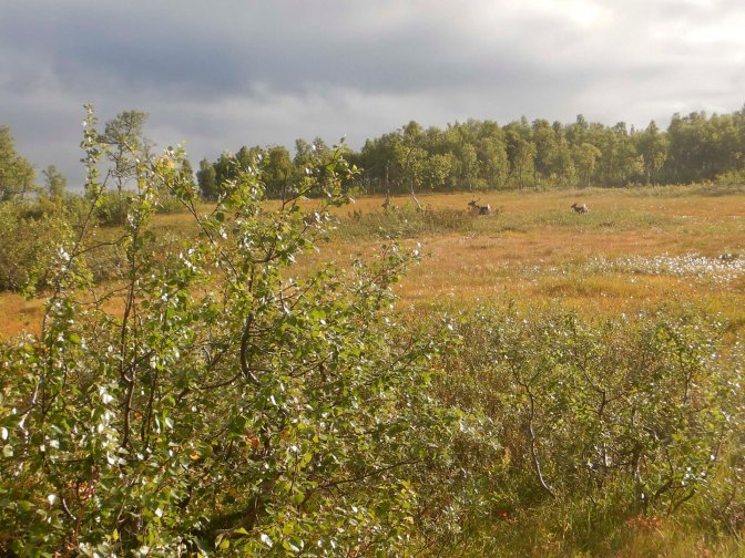
The route diverged with the winter route crossing the lake (Raukasjön) – not walking on water but because the lake ices over! I didn’t reach the bridge at Raukaselet until 11am so it had taken me almost four hours to walk 10km over this difficult terrain.
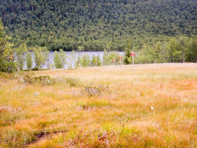
Having crossed the bridge, I was delighted to find that I was unexpectedly on a track so I was suddenly able to make much faster progress. The map had continued to show just a path.
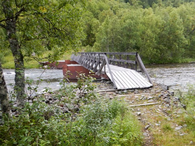
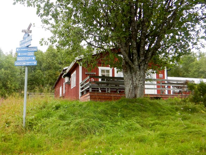
I arrived at Raukasjö mountain farm which seemed to offer accommodation and a café but evidently not in the summer. There was a defibrillator, emergency phone and various first aid posts too and it was labelled as Checkpoint 18 for a competition – maybe cross country skiing. Anyway on a sunny day in the middle of August everything was closed and deserted. I ate my lunch sitting on the veranda, gazing at the lake views.
The route continued uphill through a forest to the treeline and then more uphill towards the mountains.
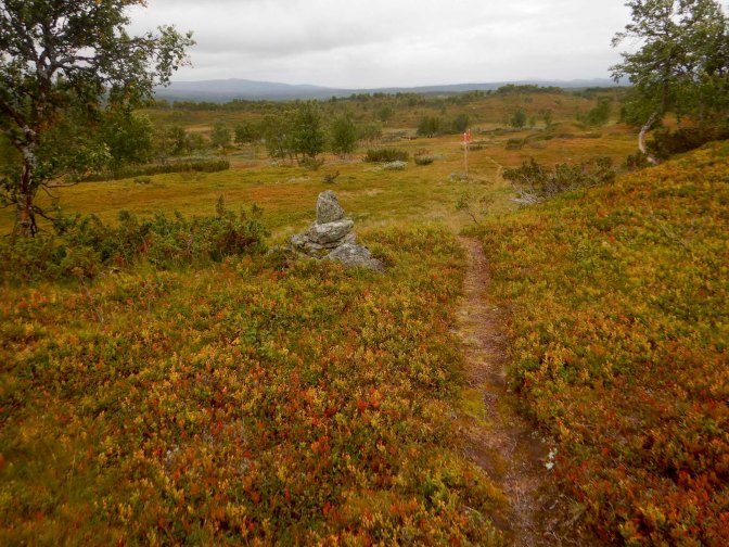
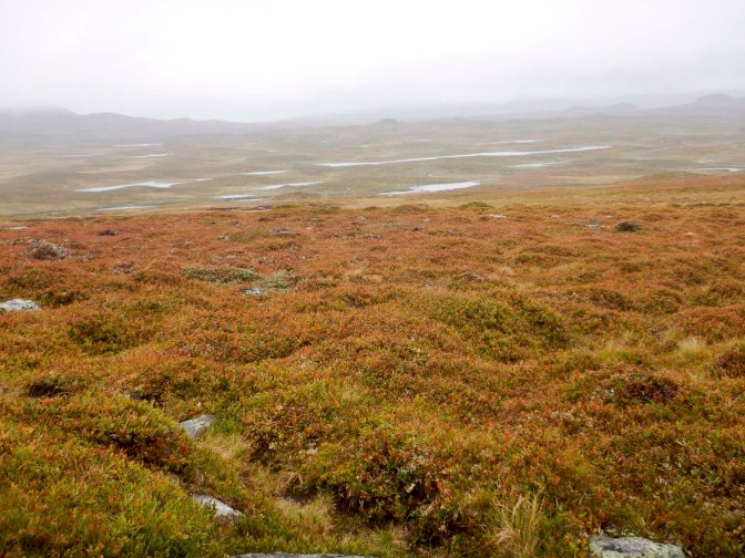
It began to rain lightly but gradually became more heavy. Actually I had been fortunate as rain had been forecast to start much earlier in the day. The landscape was bleak and open with no shelter. I could see lots of lakes and mountains. the route was well signed so I didn’t have any difficulty with navigation.
Eventually I was on flat and downhill paths and saw the cabin by the lake well before I arrived there.
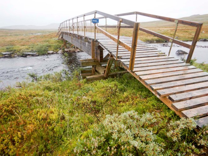
I was relieved that there’s a bridge to cross Slipsikån River but after the bridge the path towards Lake Sjliptjehke was extremely boggy so my boots became even more saturated.
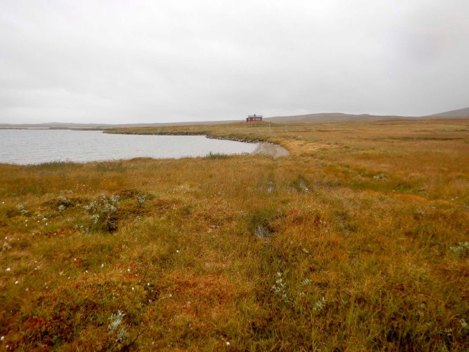
The rain was becoming heavier by the minute. Fortunately when I arrived at the cabin, Slipsikstugan, I went to collect water before removing my boots. Having got inside, there is no way that I would have wanted to venture out again! It’s in an extremely exposed location.
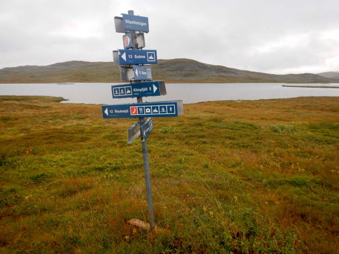
The overnight fee is just 200 Swedish krone which is under £16, and includes wood for the stove. The cabin is owned by the County Administrative Board and very easy to pay them by international bank transfer which I did once I arrived back home in UK.
No one else arrived so I had the entire cabin to myself. In the evening I eventually managed to get a fire going to keep warm and dry all my wet clothes and equipment.
It was still raining in the morning and, after packing and sweeping out the cabin, I left dressed in all my waterproofs. Fortunately the onward path towards Klimpfjäll was well marked including orange paint blobs when the summer walking path deviated from the winter route marked with red crosses. This is now part of the Lapplandsleden, a long distance trekking trail.
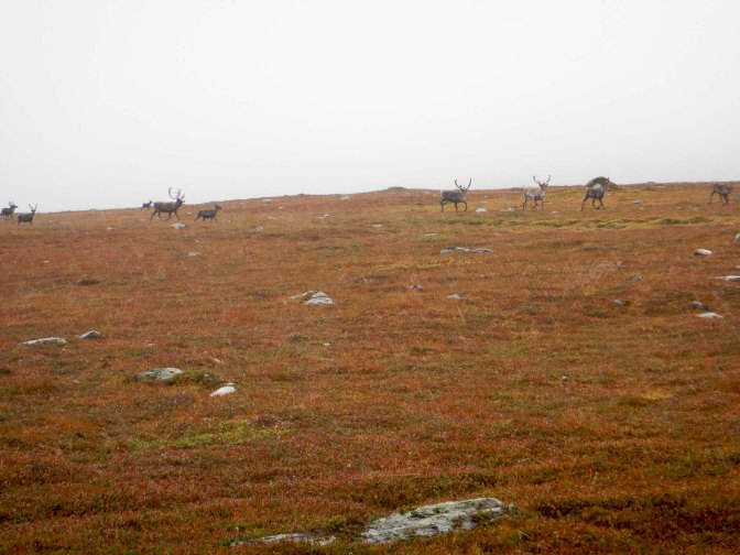
I saw two large reindeer herds – much larger groups than I’d noticed previously.
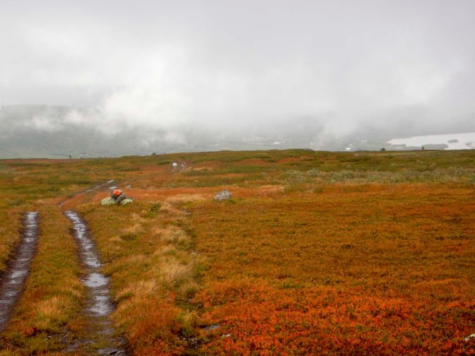
The path began to descend into the valley and I crossed a couple of rivers – one bridged and the other waded.
The sun came out and it stopped raining just as a mother and daughter out on a three day expedition approached me walking from Klimpfjäll. there was even a rainbow.
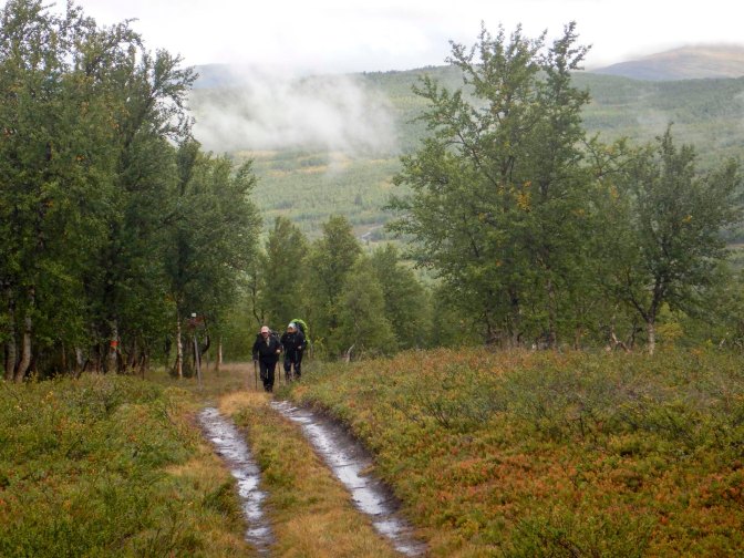
I reached a wooded area. There are some traditional pyramidal Sami shelters and an interpretive board at the site of an old Sami nomad school.
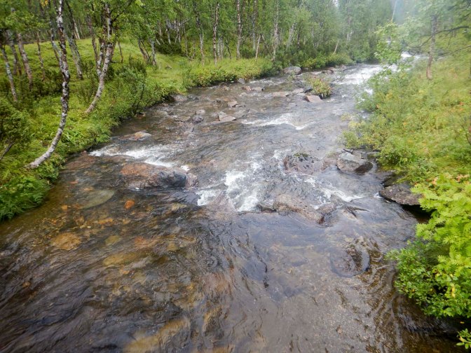
I decided to book a room at the hotel in Klimpfjäll which I managed to do on-line as I was reaching “civilisation”.
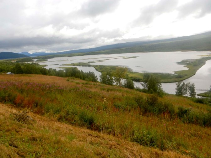
As I walked towards the village I enjoyed views of Klimpviken which has what appear to be grassy islands.
I visited the supermarket which packed a lot of different products into a relatively small shop, before heading for the hotel where I had a small apartment separate from the main building. Although there were cooking facilities, I opted to eat both dinner and breakfast in the hotel restaurant. I had a busy afternoon taking the opportunity to dry everything thoroughly (outside in the sun!) as well as washing and drying most of my clothes. Looking in a big mirror for the first time since sometime in July, I notice firstly that I have lost a lot of weight without even trying and secondly that I’ve got bruises on my arms and legs following slipping on rocks, clambering over rocks etc.
The weather forecast for the next day is much better. After taking time to eat plenty from the breakfast buffet and to clean my apartment, avoiding a cleaning charge that would be exorbitant for one person for a single night (especially as I’ve barely used the kitchen area), it’s 9am when I leave. At least that’s given time for the early morning mist to clear.
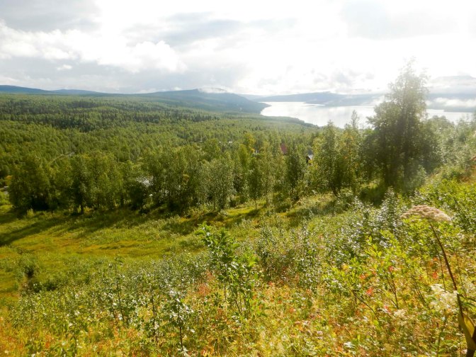
There’s a way back to the route using a path directly opposite the hotel so I don’t need to retrace my steps down the road. I hadn’t realised that in addition to the main hiking paths shown on my map, the mountain bike paths are also marked on the route in orange so I end up following the wrong path and walking almost three sides of a square so I didn’t reach the rest cabin Durenstugan until 2pm for a late lunch break. There’s an impressive cliff and a pleasant lake.
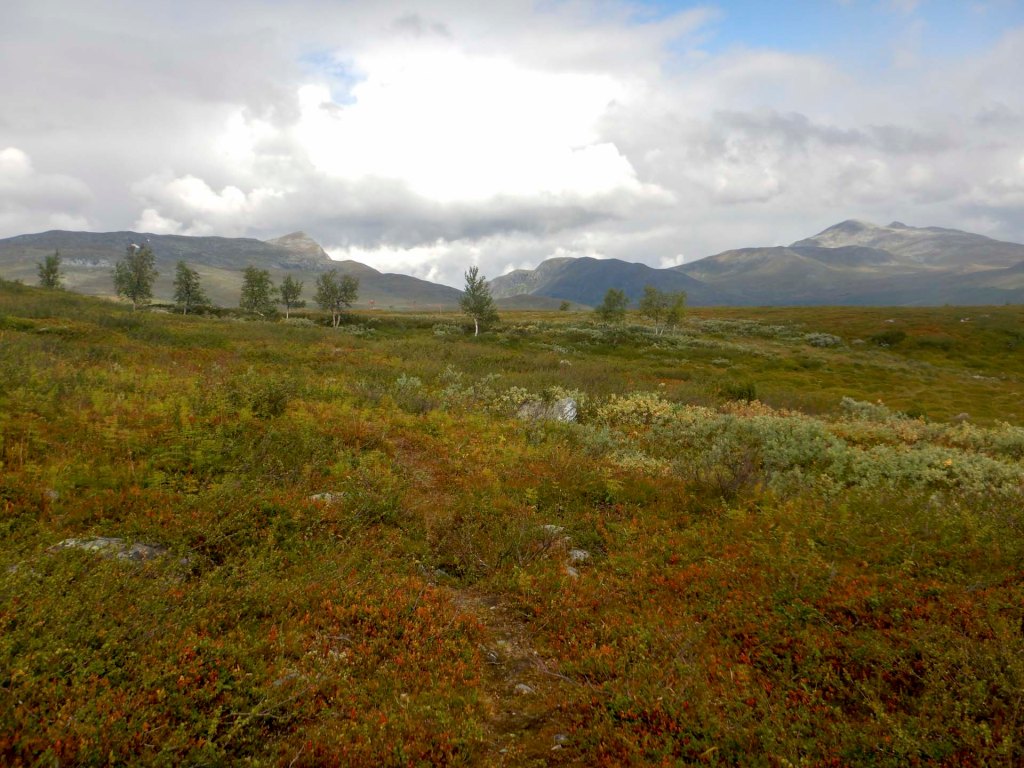
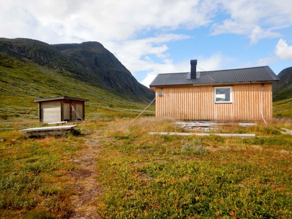
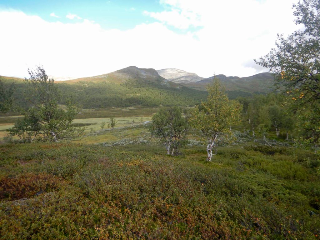
I made much better progress in the afternoon, following a clear path which is mainly easy to walk and with excellent views of the flat plain, the mountains and the lakes. I see a few reindeer but no big herds like I saw the previous day.
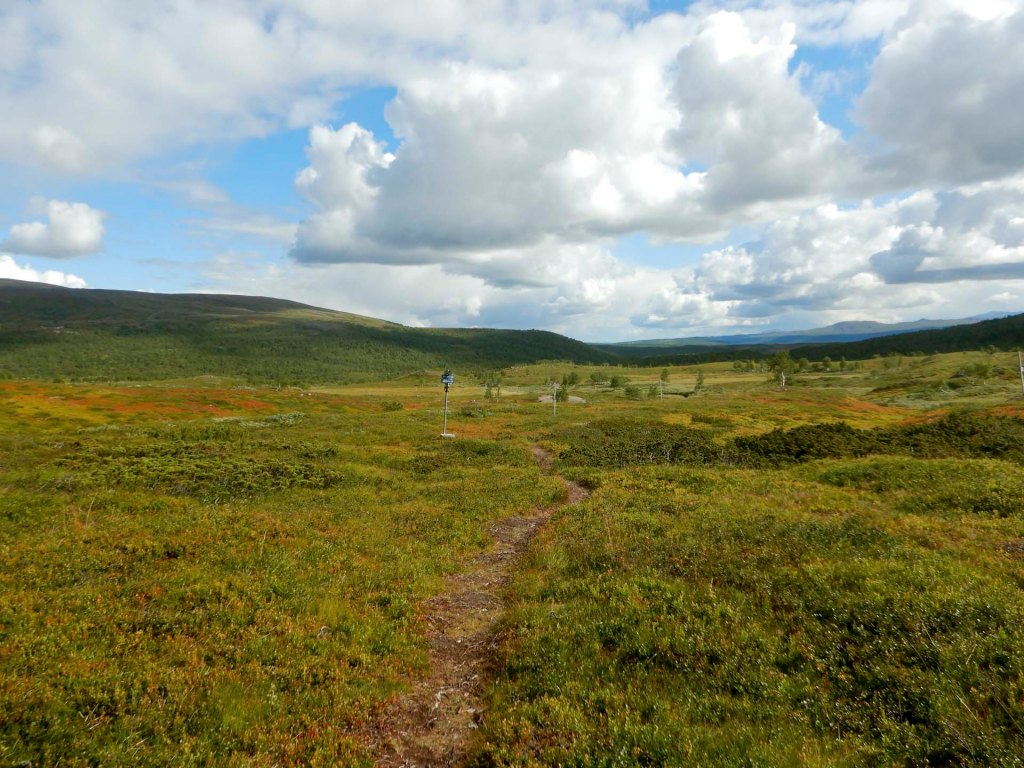
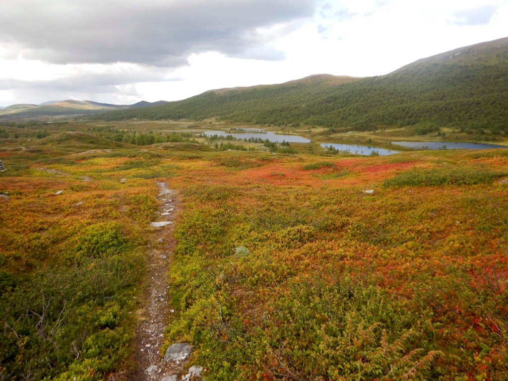
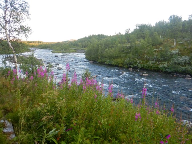
Eventually the route descends into woodland and when I hear then see the turbulent and fast flowing Ransarån river I know that I’m getting close to my destination.
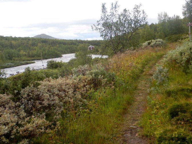
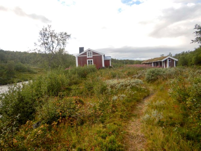
Tjåkkelestugan is another of the cabins owned by the County Administrative Board and as before I have to pay for my stay by bank transfer once I’m home. There’s a lot of historical information in the cabin but as there’s no data signal Google translate doesn’t work. As far as I can work out all the buildings nearby and the cabin are either traditional Sami homes or reconstructions of them and this are housed Sami reindeer herders. The cabin itself has been renovated relatively recently by volunteers.
I’m pleased that there are instructions to get the stove going both in English and Swedish. Now I’ve got instructions about how to manage the draught through the stove, I manage to get a good fire going much more rapidly than previously. I even have water boiling quickly enough to use it to rehydrate my camping meal rather than needing to use my gas stove.
It’s a lovely evening – blue skies with some cloud, no rain and beautiful views of the river.
There’s no-one else at the cabin and I realise that I’ve not seen anyone since I left Klimpfjäll even though the hut logbooks here and at the rest cabin show that a steady trickle of people walk this route.
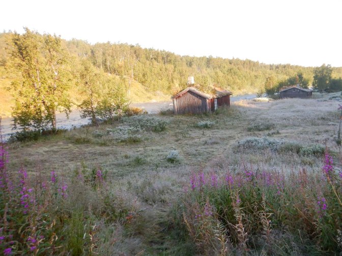
The next day the sky is blue but it’s frosty with an autumnal nip in the air. I didn’t try to relight the fire but used my gas stove to heat water for coffee and porridge.
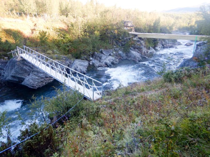
The path follows the river to a bridge – it looks as though it’s a temporary metal bridge as there’s a wooden bridge being built just downstream. The path crosses a reindeer fence. Soon after there’s another bridged river crossing on what looks to be a newly built bridge. There are a few reindeer around.
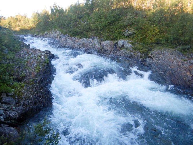
There’s yet another bridge – I can tell I’m in Sweden rather than Norway with all these bridges! In Norway, I’d be getting my feet wet! I stopped and sat on a seat just after the bridge as I’d caught sight of a small group of reindeer on the other side and hoped they might head towards the river. A calf seemed to be heading for the water but the rest of the group moved on and so of course the calf followed.
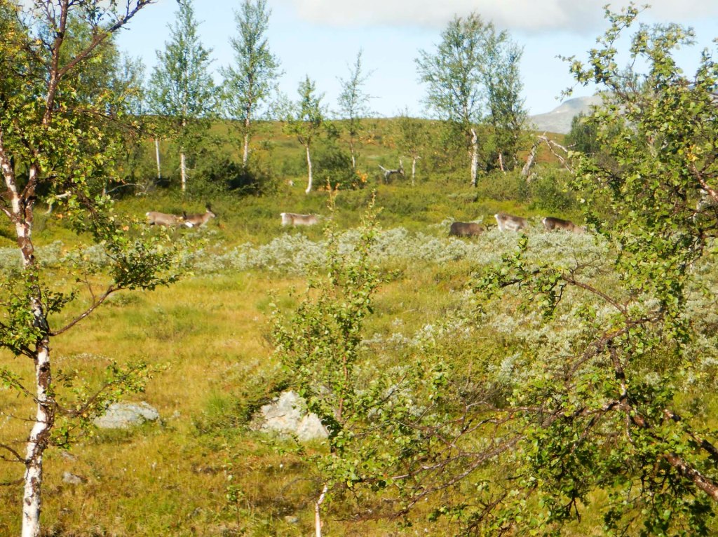
The walk through Remdalen is incredibly scenic. It’s a lovely path that’s dry underfoot past dwarf beach trees and plentiful ripe blueberries and bilberries to forage and eat. The views of hills and mountains are stunning in the sunny weather with blue sky and fluffy cumulus clouds. I’m walking wearing three less body layers than when I started – just a T shirt as I’ve progressively stripped off my down jacket, fleece jumper and long sleeved merino top. I was fortunate as there’s more cloud as I start to climb out of this beautiful valley.
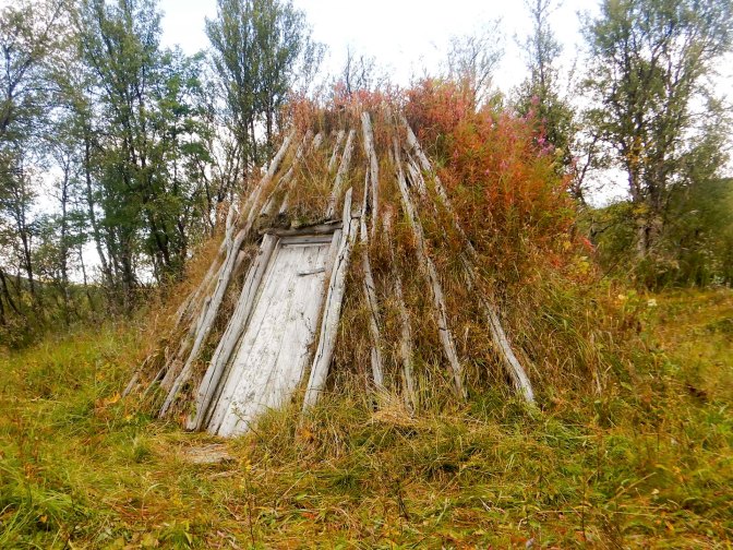
I’m still seeing reindeer in small groups of two to five. There’s evidence that this is traditional Sami reindeer herding territory as I pass an old small wooden shed and a conical shelter with a central fireplace as well as many Sami stone cairns. All the Sami structures are protected and it’s forbidden to add stones to or remove any stones from the cairns. They look incredibly precarious although clearly they are built in a skilful way so they withstand wind, rain and snow.
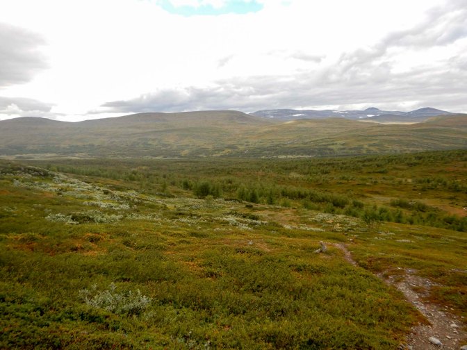
The path rises more steeply over an open area with more fine views, this time looking towards Norway. There’s a flatter path through some fairly open woodland, a couple of bridges to cross followed by a reindeer fence and I realise that I’m on the final stretch for the day. I note the unmarked path to the Sweden / Norway border which is where I’ll be heading the next day.
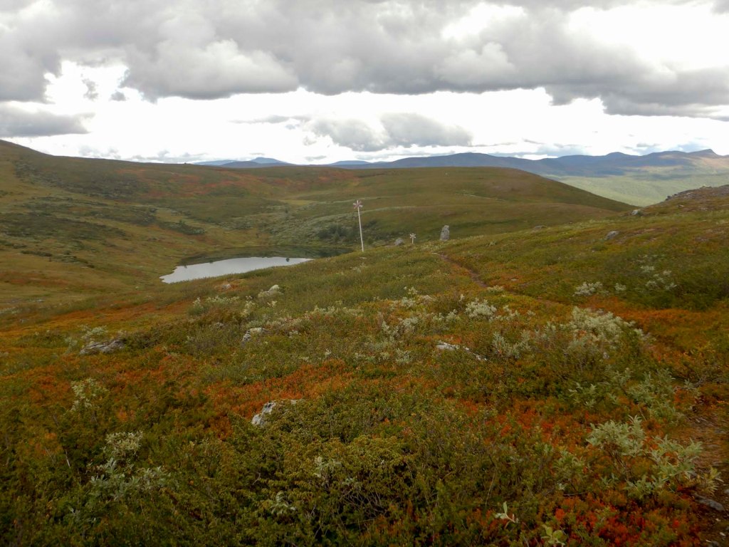
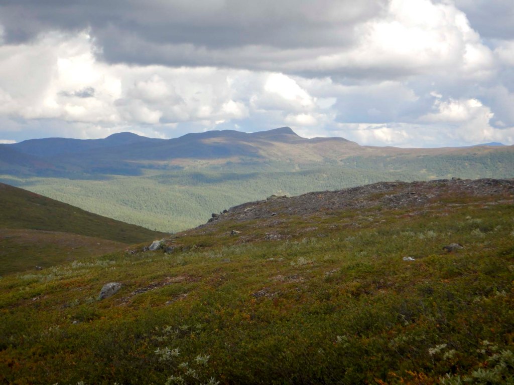
Although it’s only just after 2pm as it was under twelve miles to walk from Tjåkkelestugan to Åtnikstugan, I decide to stop at the cabin rather than continue and wild camp. It’s another of the cabins owned by the County Administrative Board.
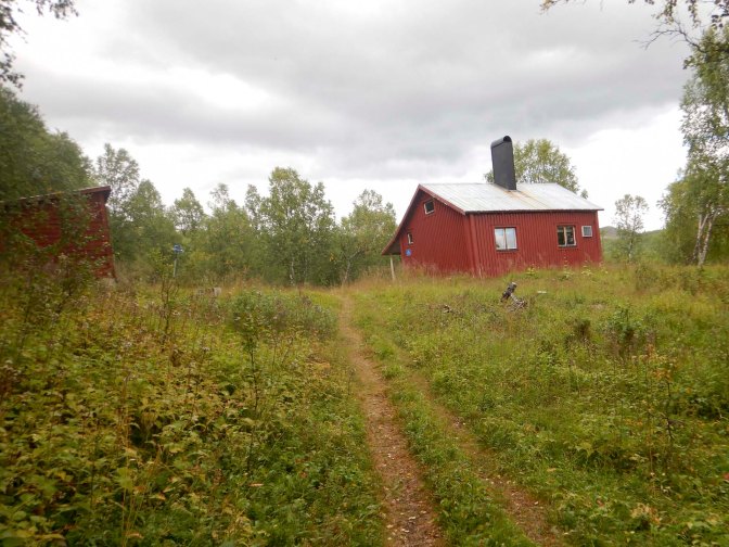
A couple from Gothenburg are just passing by and eating their late lunch but planning to walk further south on Lapplandsleden after their break. They ask me what time it is; she didn’t bring a watch and his Garmin watch battery is completely flat as he forgot to pack the charging cable. I’m able to lend him my cable so he can get a partial charge on his watch via the power bank that he is carrying. He’s a semi-retired haematologist who has a contract that gives him a long summer break to enjoy outdoor adventures. Sweden is clearly more far sighted than UK as retirement age doctors who continue to work get tax breaks rather than tax penalties. However, his wife who enjoyed working as a GP has hung up her stethoscope. I’m really impressed when she tells me she has skied in the big 90km race from Sälen to Mora (the Vasaloppet) – which I walked in the reverse direction as part of my Scandinavian expedition in 2025. They leave, carefully returning my charging lead and minutes later a man also walking south on Lapplandsleden arrives but opts to camp nearby. Another couple arrive but decide to walk further. I’m sure there will be more than just me in the cabin, but end up having it to myself as no-one else arrives.
This cabin has an interesting water supply. About 75m from the cabin, down a small path, there’s a spring which bubbles up through the sandy gravel so the water is filtered and pure. I’m still cautious and ensure I either boil it or use sterilising tablets before drinking it.
I know I have two fairly long days ahead of me to leave Sweden and get to the next town with supermarket – Hattfjelldal. I want to get as far as I can on the first day as I’m hoping to book a hotel room in the town and take the opportunity to wash more than just underwear and socks. Hence I’m pleased there’s no-one else in the cabin as I settle early to sleep and I’m up at 04.30 then away at 06.00 even after sweeping out the cabin. I don’t have to worry that I’m disturbing anyone else so early in the morning.
Unlike the previous day, there wasn’t any frost and it was still dry. In fact the doctor couple yesterday had told me that the forecast for the next three days was for dry weather. I arrived at the junction of paths where I’d turned the previous day and headed along the unmarked path. In places there was a trodden path but there were many parts where it was impossible to see where to go across swampy ground or over rocks. I hadn’t bought topo maps for Sweden on my GPS but I was able to use Garmin Explore on my phone by blue tooth from my watch. This was far quicker than searching on the ground to find a faint path that might only be a few metres away from me.
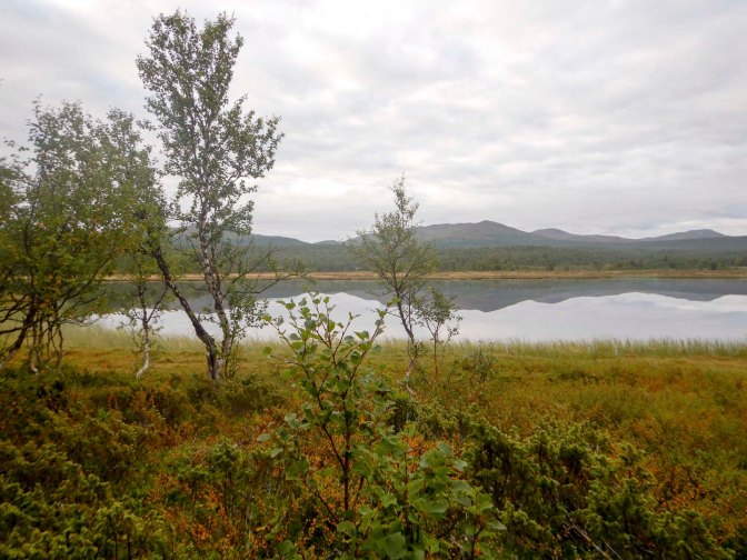
I passed a lake with mirror-like reflections. I spotted two elk – it looked like a female with a calf so I was relieved that they just ran off rather than the adult trying to defend her calf.
Unfortunately, an old bridge hadn’t been replaced where it appeared to have been washed away and I got a wet right foot as I forded it. I had to cross a couple of reindeer fences, removing then replacing the upper logs after I’d stepped across.
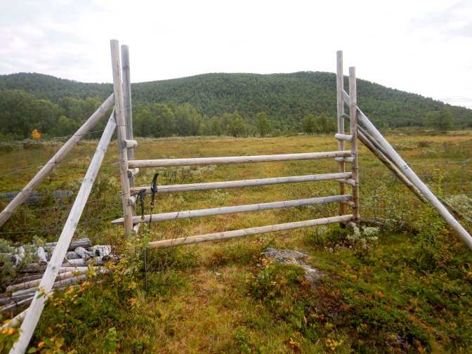
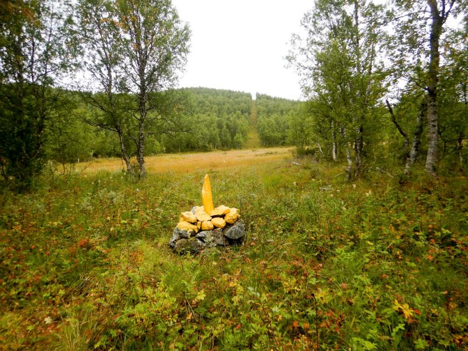
At the country border, there were yellow stone cairns and a gap in the trees. On the Norwegian side, it took a short time to find the path, but once found it was more or less clear and I could walk more quickly. I was soon crossing the watershed between Harvassdalen and Susendalen – well and truly back in Norway.
22 – 24 August Diversion to and from Hattfjelldal
Unfortunately I had a lot of road walking to come, albeit mainly on roads carrying little traffic. I passed Harvasstua on an unsealed road – there were people sitting and talking outside what appeared to be a private house. Soon after this, I reached a small road junction where some people in a Toyota Landcruiser towing a horsebox stopped to offer a lift along the road – thanked but declined.
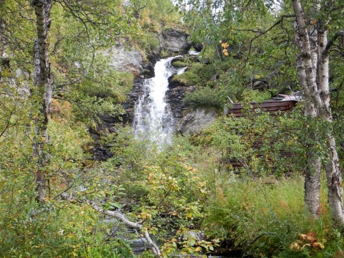
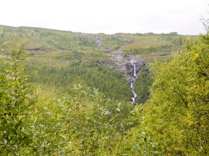
There were multiple streams flowing down the steep valley sides towards the Susna River. I also enjoyed some excellent views across the remote Børgefjell National Park. I was even on the official E1 for a short stretch between where the route from Børgefjell reaches the road until a turn off leading to where the “path” crosses a river using a boat on a cable. Apart from risks of drowning on the river crossing, I needed to buy more food, hence my detour.
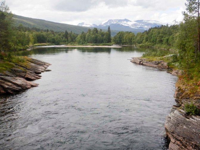
The road surface changed to a sealed surface and was a bit less quiet. There were scattered houses and farms as well as small villages. It was a Saturday; most people seemed to be outdoors but at home – cleaning cars, gardening and farming activities. I passed a fjellstue (guest house) at the start of the north Norway trekking route. I was still following the route of the river but it had become wider, slower flowing and less turbulent.
On the edge of what I thought was a small village I passed a chapel and a church in close proximity. The chapel dates from 1916. The Bishop visited in 1998 and noted the chapel was in poor condition and a new church should be built to replace it. The new building was completed in 2001. However this village was clearly a centre for the area as I passed a largish school a few minutes later complete with a sports field and a skiing circuit.
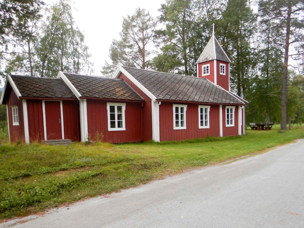
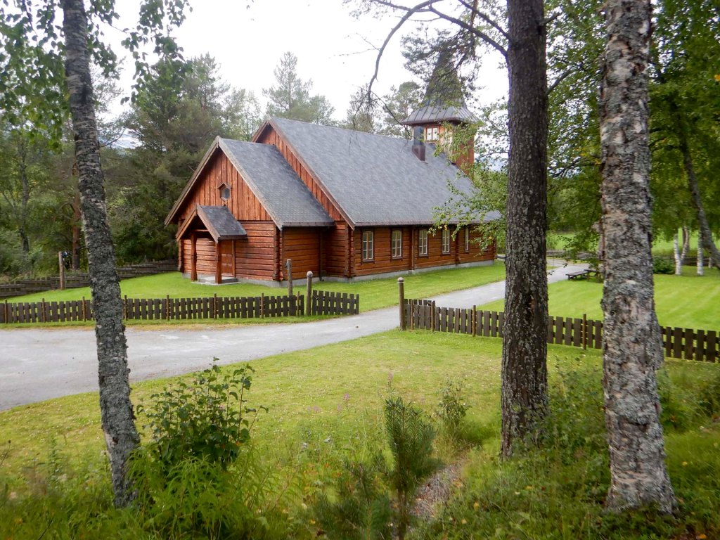
About a kilometre after the village, I was delighted to arrive at a designated swimming and beach area by the river complete with a fire pit, picnic table and dry toilet. There was no-one using the facility and it was time for me to stop for the day as I’d walked about twenty-eight miles, mainly on various roads although there had been the difficult few miles initially without a decent path.
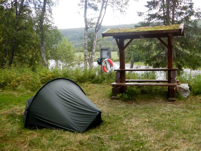
It was the first time since the hotel at Klimpfjäll that I had a data signal on my phone and there were several important messages including from a friend who had just celebrated completion of the tough GR10 route in the French Pyrenees. However, my priorities were to book a hotel at Hattfjelldal for the next night and to contact Grethe with my shopping list of provisions that she would leave at Umbukta Fjellstue for me to collect when I arrived there. Amazingly, it was almost three weeks since I had met Grethe at Bjørneggen. I was also able to see the weather forecast for the next few days – miraculously the dry weather was set to continue. This news reinforced a change in plan that I had already considered to omit my rest day at Hattfjelldal, particularly as I thought I could get there in the early afternoon so I would already have a half rest day. This meant that I would need the provisions at Umbukta a day earlier than I had previously estimated.
The night was dry but cold so I had a lot of condensation on my tent in the morning. I was walking again by 07.45, continuing along the road. I decided against crossing the bridge to walk on the gravel road as that would have increased the distance; the surfaced road wasn’t at all busy.
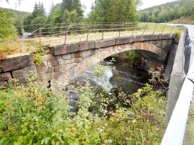
The route continued to follow the course of the river. Two new bridges cross significant tributaries; in both cases the historic but crumbling stone bridge has been kept in place and the new bridge built close to it, in one case upstream and the other downstream.
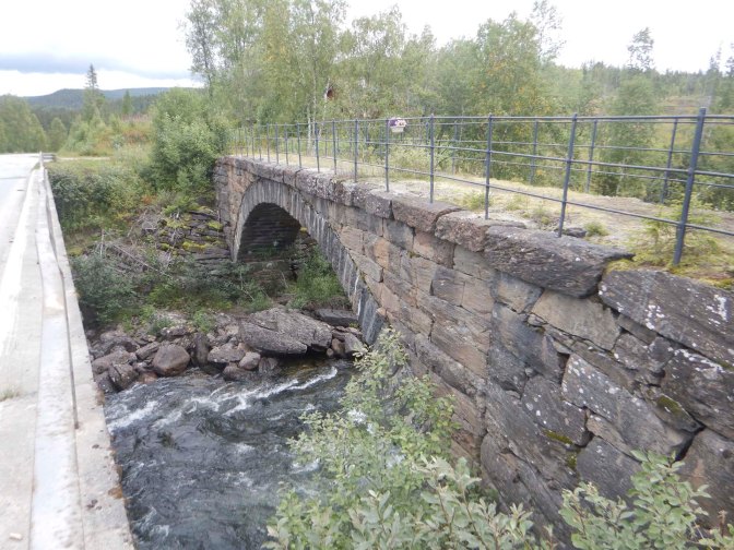
Even near the road, it was possible to enjoy glimpses of wildlife – I was delighted to see a pair of capercaillie as they’re normally very shy. The male looks like a huge turkey. However, it was just a glimpse before they ran from the side of the road into the forest, so I didn’t get a picture.
I passed a Sami reindeer farm where I saw a typical conical cabin and a group of reindeer in a field.
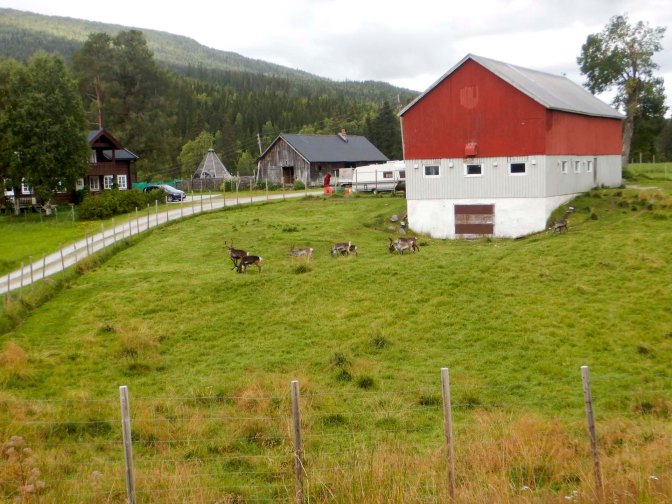
I took a short diversion to eat lunch near the river, close to the place where the gravel road on the other side of the river re-joins the road where I was walking.
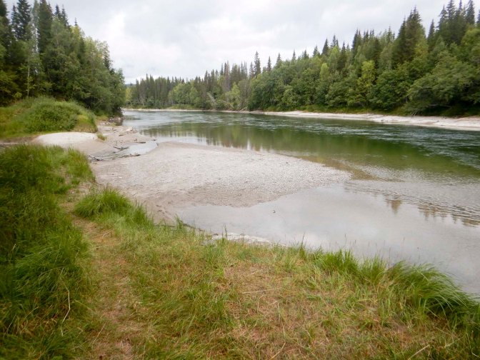
It was only just over three miles to Hattfjelldal and I arrived soon after 2pm. Check-in time at the hotel wasn’t until 4pm but I decided to drop in and see whether the room might be ready. I was in luck – in fact the friendly owner / manager appeared to be delighted that I had arrived early. He also told me that he could provide an evening meal of slow cooked beef, which seemed much more appetising than a burger from a fast food restaurant, the only other option in the town.
I had plenty of time to dry my tent on the “veranda” outside my room as well as some more clothes washing. I also received a very positive e mail from Grethe who confirmed that she was able to get all the food to Umbukta a day earlier than the original plan.
The limiting factor for my departure the following day was the opening time for the supermarket, which had been closed the previous day (Sunday). Eventually I found everything on my list apart from the freeze dried camping meals. I asked a very helpful assistant; there were none on the shelf in the main part of the food store but he showed me where they were in the hardware part of the shop. Unfortunately the choice was limited to reindeer stew – restocking was later in the week but that didn’t help me. I would just have to eat reindeer stew for the next five nights.
Eventually at 09.15am I started my walk in dull but dry weather. Unfortunately it was yet another day of predominantly road walking, beginning uphill on a gravel road and then on to the fairly quiet 73 road which eventually reaches the border with Sweden. I spotted an elk by the side of the road but it disappeared before I could get a photo.
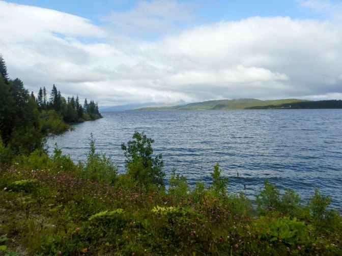
The route passed the second largest lake in Norway before ascending alongside a river which was contained within a gorge at times.
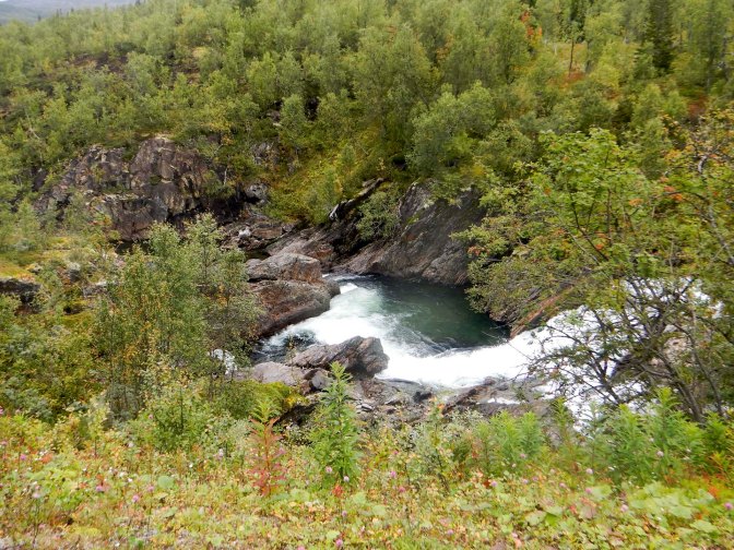
I reached Krutvatnet and it started to rain. I had to walk to the far end of the lake then turn off the road on to a track – the official E1 route again. The last 3km was along a track which became a footpath with several boardwalks past multiple cabins.
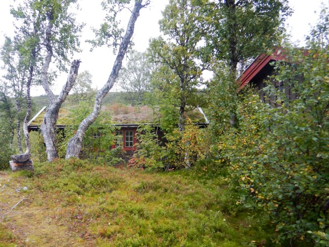
I was heading for the state cabin, open to all and amazingly there’s no charge even though it’s well equipped with firewood and cooking facilities. A young couple from Norway were already settled there with their dog. They were a medical doctor and a teacher walking the length of Norway (north to south) with their incredibly well-behaved dog. We chatted lots and they confirmed that the camping spot I had marked on the map for the next night was an excellent choice but also recommended not to miss the privately owned cabin the following night even though it meant a diversion off the main route.
25 – 29 August E1 Krutvatnet to Umbukta
I enjoyed dry weather to follow the path further round the lake then up to a smaller lake before ascending a more mountainous area where there were multiple lakes.
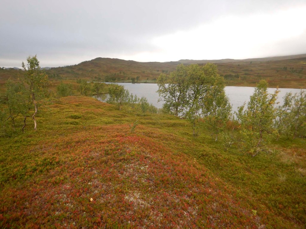
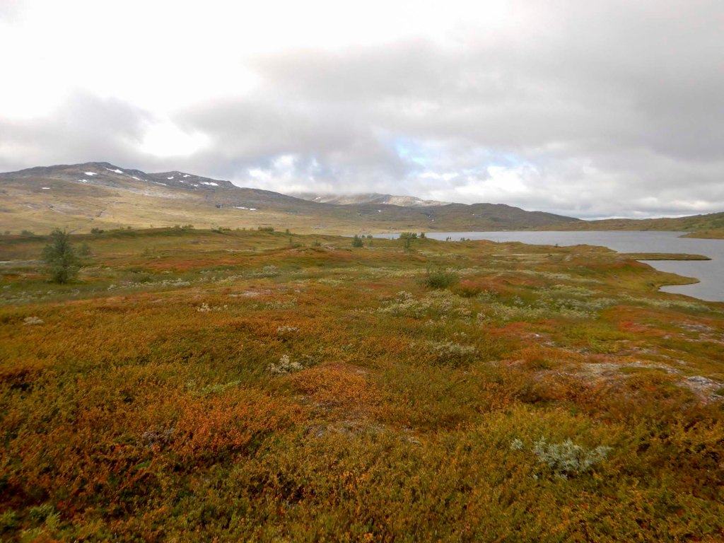
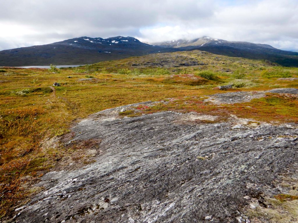
I lost the path and needed my GPS to help re find it. A large curve in the route avoided swampy areas and then I reached a clay road which I followed for about 6km. I would have had a 2km diversion to reach some private farm accommodation but instead I turned uphill on a steeply ascending path to reach the camping area which had been recommended.
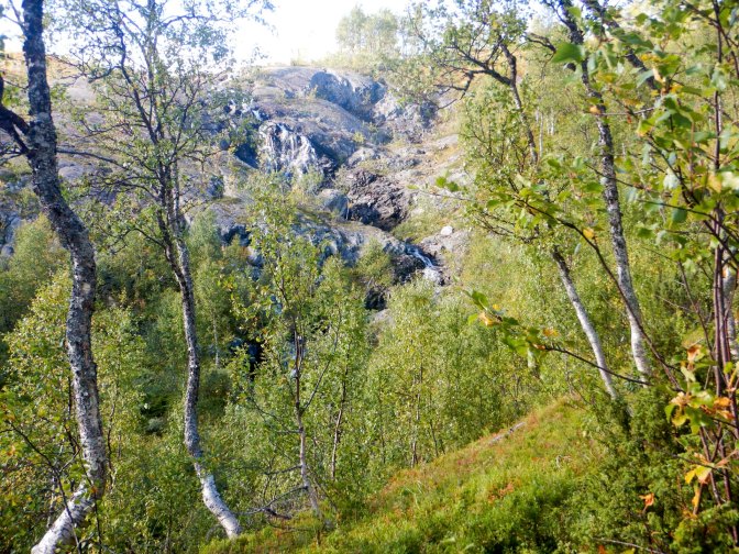
It was indeed an idyllic spot to camp by the inlet stream to Storrbekktjønna – lake views, distant mountains with snow-capped peaks and the nearby jangle of sheep bells.
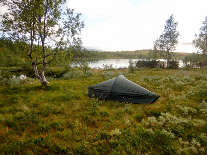
The morning was cold with frost but I was at around 666m above sea level. There was some cloud over the lake. I was away soon after 08.00am on what was initially a good path.
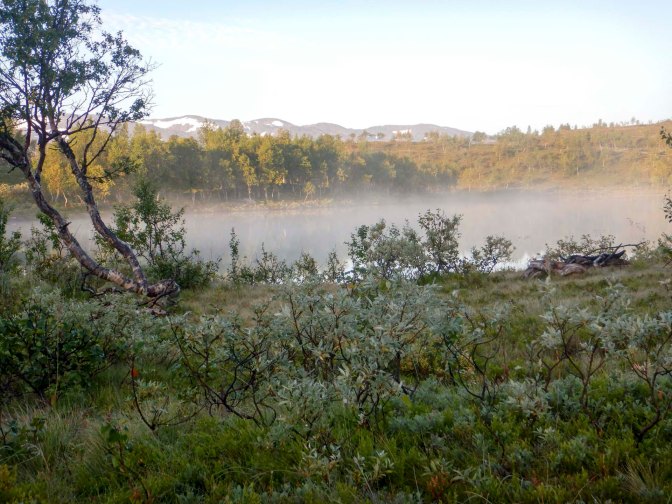
I enjoyed fabulous mountain views in sunny weather. After gaining a lot of height to reach a ridge, there was a long and steep descent over uneven, stony ground. I was cautious on descent. The route looped to avoid a mountain that was “in the way”.
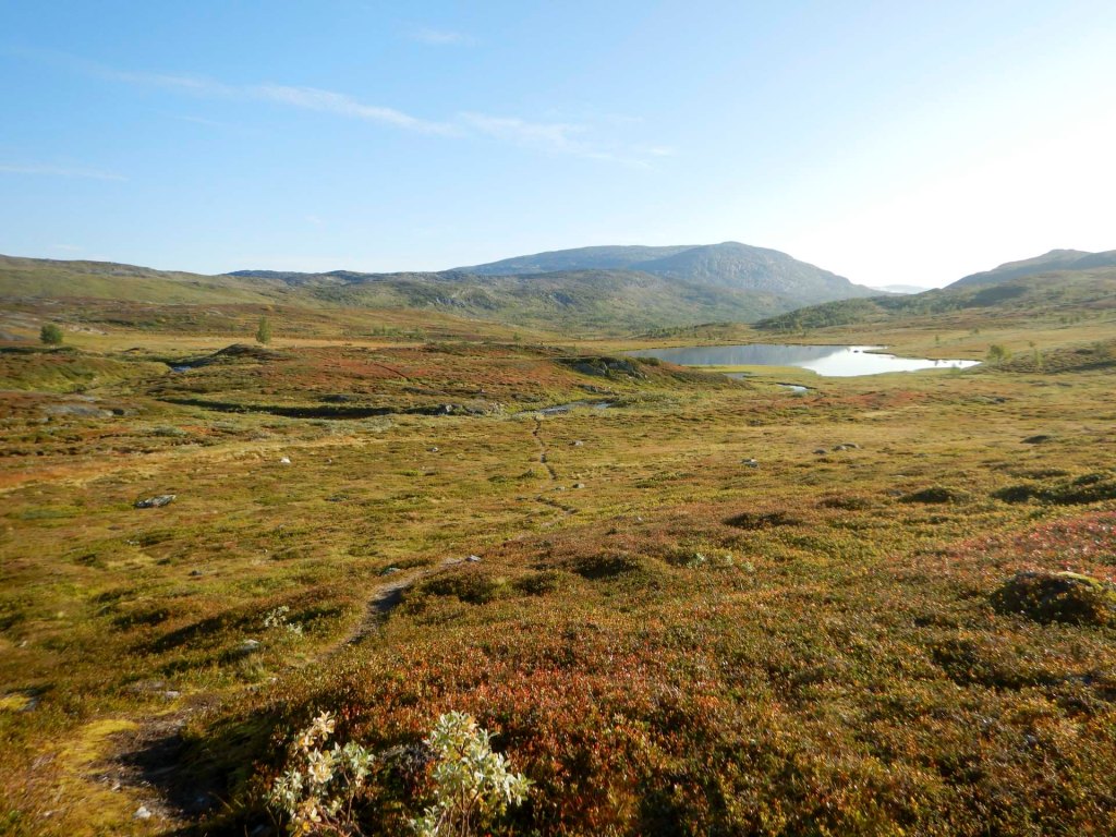
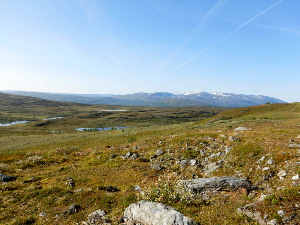
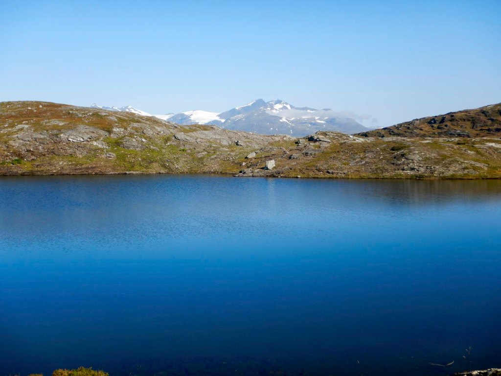
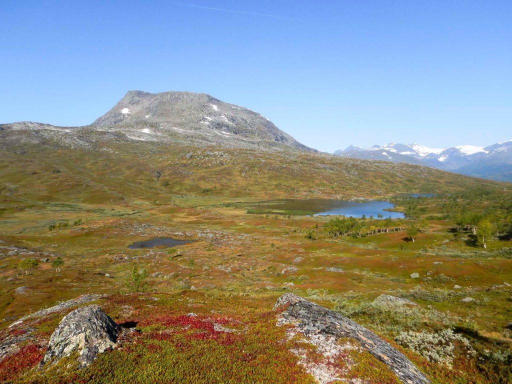
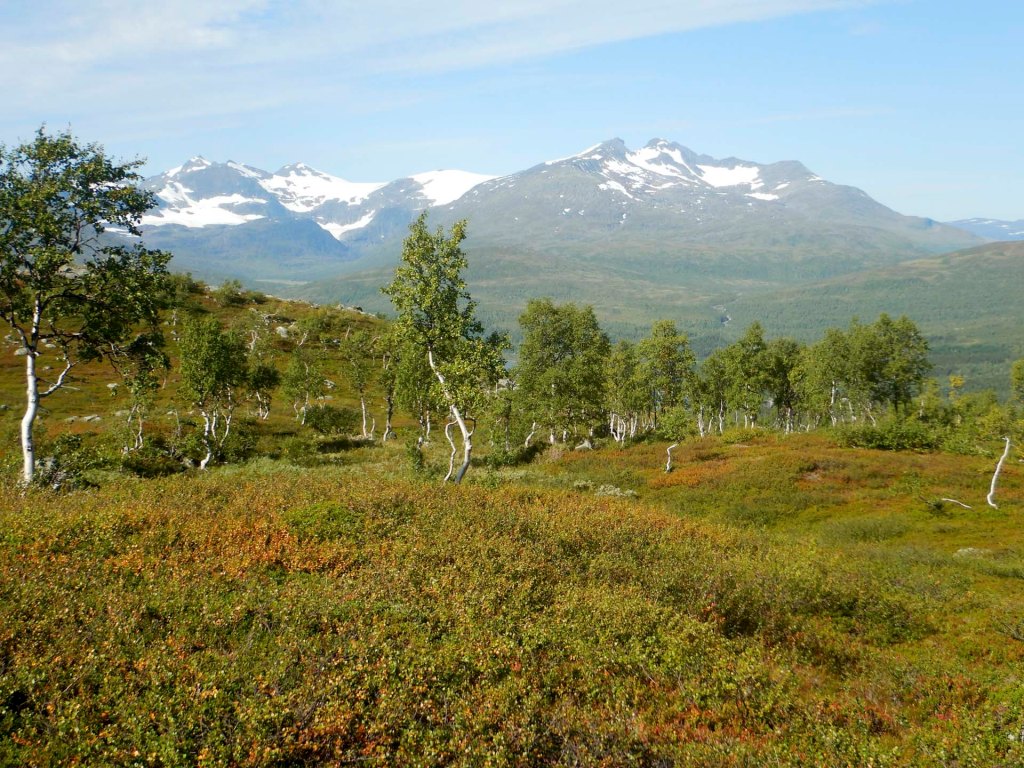
At 3pm, I met a man walking in the opposite direction and planning to reach Storrbekktjønna that day – it had taken me seven hours in the opposite direction so I hope he was much faster than me! Soon afterwards there was a bridge and the path improved before becoming a track then a road.
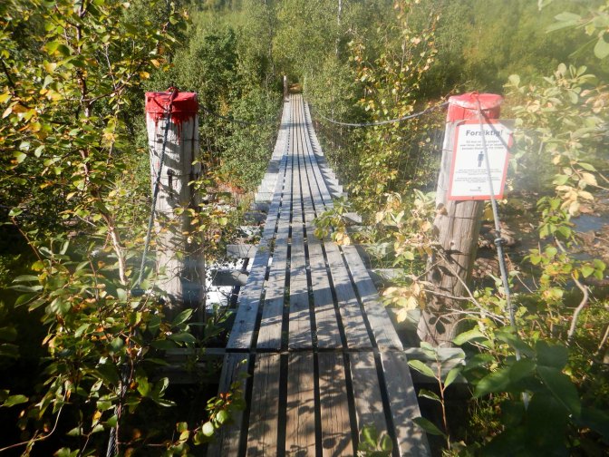
I saw the place where I would turn on to the mountain again the next day. There was a sign to the cabin. After about 500m, I was offered and accepted a welcome lift to the cabin given that I was on a diversion from the main walk route. The person who gave me the lift owns a summer cabin in the area where he actually spends most of the time nowadays. Kari and Håkon weren’t in but I found them collecting berries by one of the buildings. I was an unexpected guest as I hadn’t booked but I was immediately given a warm welcome and shown the place which would be for my sole use overnight given I was the only guest. My overnight fee of 400 krone (about £31) included use of a hallway complete with boot drier, kitchen, laundry room, shower room, bedroom and living room – unbelievable! Kari even apologised that the underfloor heating in the living room wasn’t working yet as they were awaiting a visit by the electrician. However, I made full use of the washing machine with drier and I had a shower. There was also a selection of chocolate, biscuits, soup and porridge which were a welcome supplement to my meagre rations. There was even Wi-Fi so I was able to confirm that the next day’s forecast was for dry weather.
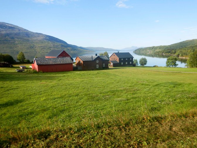
It was 08.30 when I left the next morning after putting my sheets and towels in the laundry area, wiping the kitchen tops and vacuuming the cottage. Kari had offered a lift to where the path leaves the road but I walked for 25 minutes along the road as it warmed me up ready for the ascent on the path.
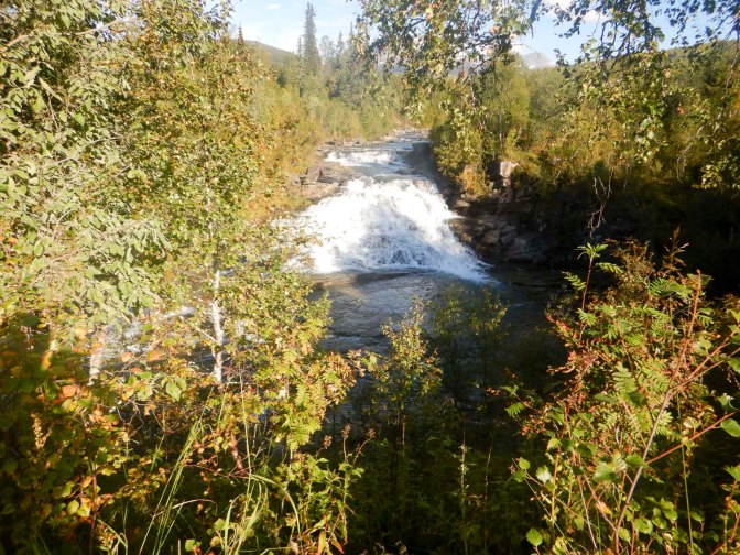
The ascent was steep, past rapids and waterfalls, through a forested area and emerging to see excellent mountain views. Far below I could see the meandering river in the valley Spjeltfjelldalen and above it the Okstindan mountain range including Oksskolten – at 1916m the highest mountain in northern Norway. My path ascended to around 800m, becoming a precipitous balcony path before flattening out.
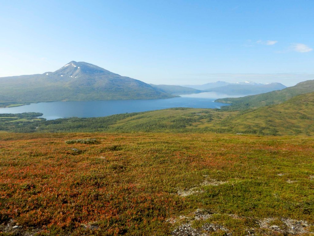
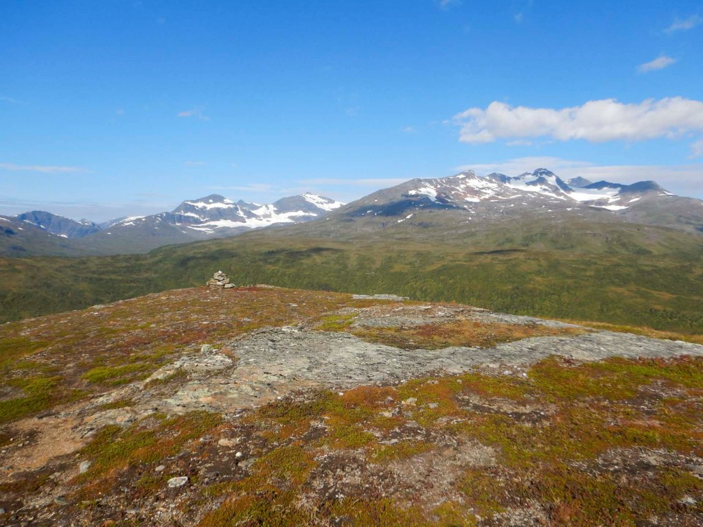
Views of the glaciers on Okstindan unfolded although the largest glacier was hidden from view and I’ll see it tomorrow. It was sunny and “too hot”, but I was very fortunate as there had been only a couple of dry days all summer in northern Norway.
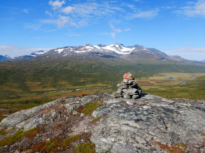
At Balskota, where I had a further 6-7km to walk, I met the forest ranger with two dogs – he was monitoring and looking for Arctic foxes. It was near to a Sami shelter and an interpretative board explained that a Swedish Sami person had been dispossessed of this land at the time the Norway / Sweden border changed.
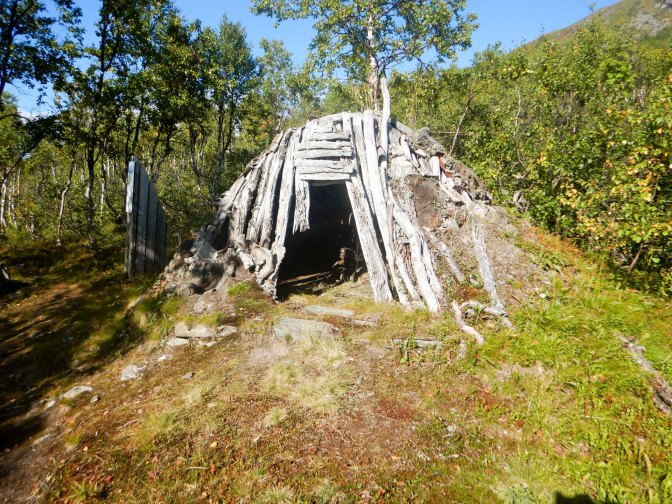
The path included more uphill than I had expected as well as a lot of boggy swamp so I was becoming very tired. Eventually I saw the cabin where a local man who had spent the day climbing Oksskolten was already staying.
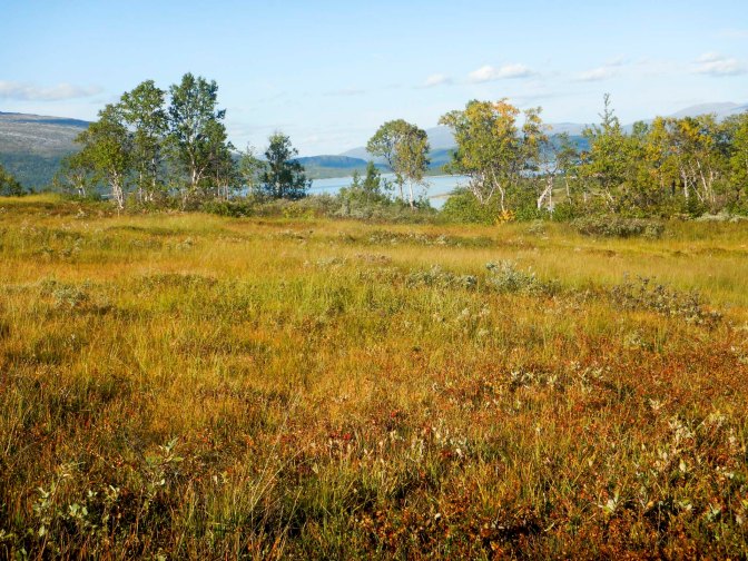
I was in bed early and slept through until my alarm sounded at 06.30am. I chatted with the other guest – he works maintaining platforms such as oil rigs but also has a stressful domestic life with a daughter under two years old who has required several operations for cardiac and renal conditions – climbing and walking is his antidote to stress.
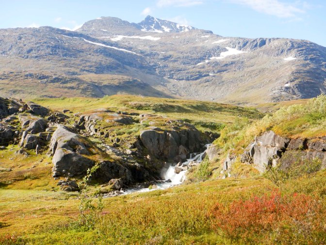
Eventually I left at almost 09.00am but I had a much shorter although difficult walk today past the large Austre Okstind glacier. The views were impressive; it was a precarious path for me with my large back pack.
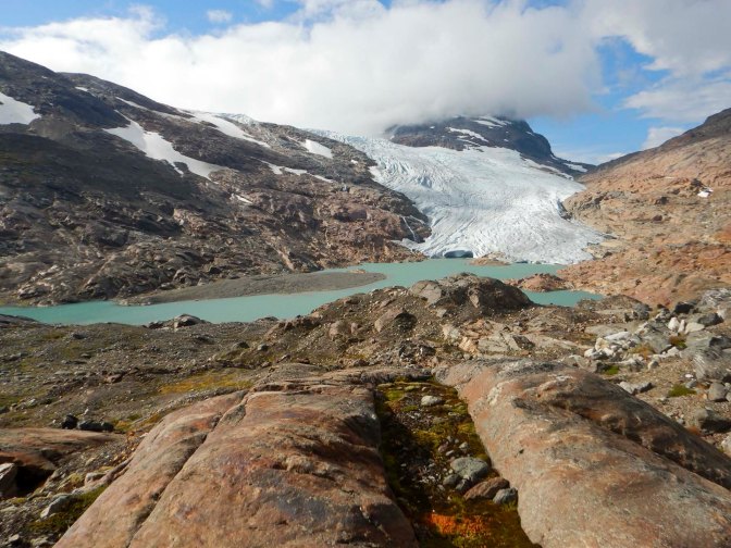
I waited until I had descended the most difficult sections before stopping for a late lunch. In fact, I had become so absorbed by the scenery and the terrain that the time had slipped by without me realising.
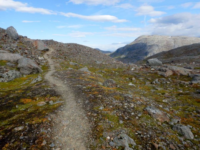
Soon afterwards, I passed a young couple poring over a phone – they had just received the man’s exam results with which they were delighted! What an amazing place to receive such good news.
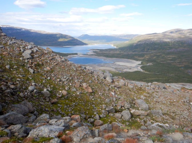
I only had 2km further to walk up the road to reach the DNT cabin Kjennsvasshytta, sharing just with two German women who had arrived from the opposite direction by car.
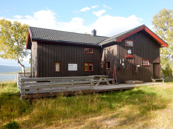
I was up at 5am. The weather had changed and it was pouring with rain. It wasn’t very inviting at all and I dawdled hoping the rain would lessen, before eventually leaving just before 8am. The first part of the walk was easy along a gravel road but once I turned off the road there were many rock slabs which were potentially slippery in the wet conditions.
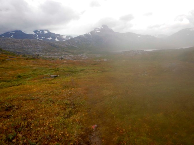
I passed several small groups of reindeer as I walked towards the huge lake – Akersvatnet. The path I followed was much nearer to the lake than the path marked on the map. It was windy.
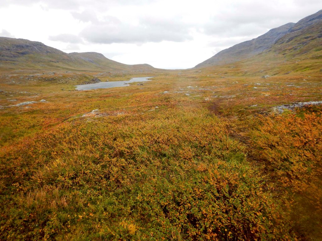
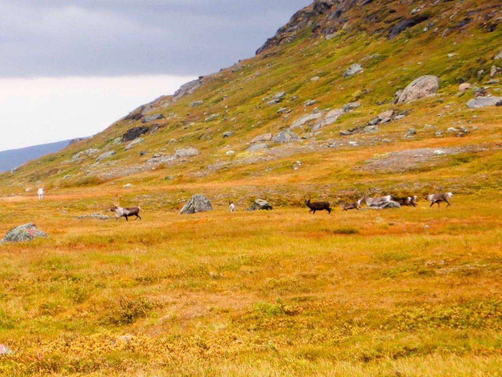
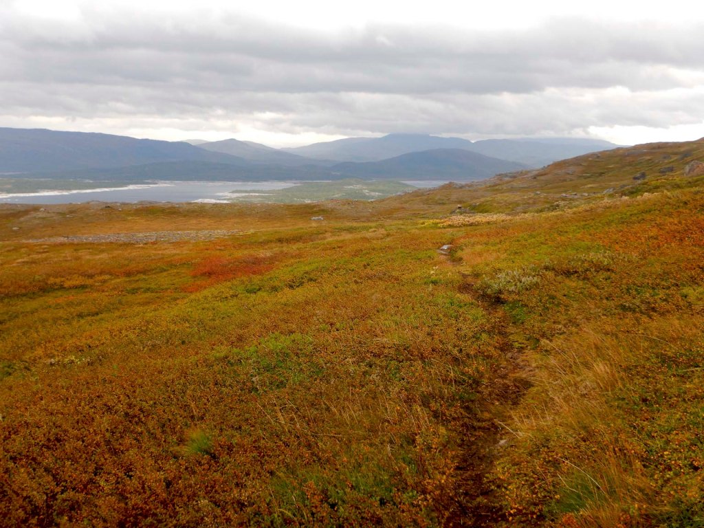
I was glad to reach the cabin at Grasfjellkola to have some shelter during my lunch break.
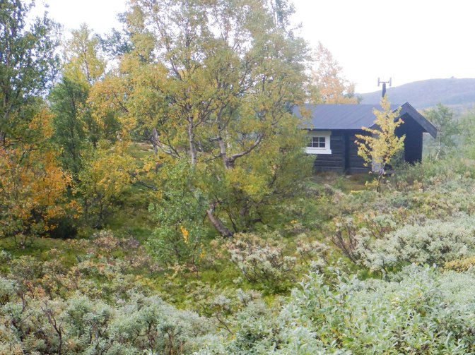
In the afternoon, the walk was hard work with an undulating path through swamp, woods and mountainous terrain to Umbukta. I emerged on to the E12 road next to the Red Cross building.
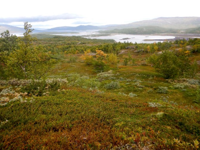
I was tired after the tough walk in wet conditions. Fortunately I arrived soon after 17.30 so before the Fjellstue was due to close for the night at 6pm. It was an unusual welcome – initially I was offered an expensive room in the Pakkhuset but as I was being shown there, the decision was made that I could stay in the cabin reserved for walkers which was much less expensive. I was offered hamburger and chips to eat and then bought the two remaining waffles in the café to take away and eat in the cabin. Most importantly, my food box from Grethe was given to me – it included a present of a pair of home knitted mittens made with local wool. In addition, there was a box of food in the cabin that had been left by other walkers for anyone to take and I couldn’t resist munching through some tempting treats.
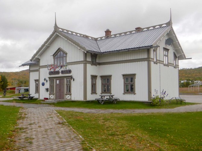
The cabin was cosy and warm as I lit the wood burning stove. However the witch at the entrance and the stuffed red fox at the top of the stairs were both somewhat daunting!
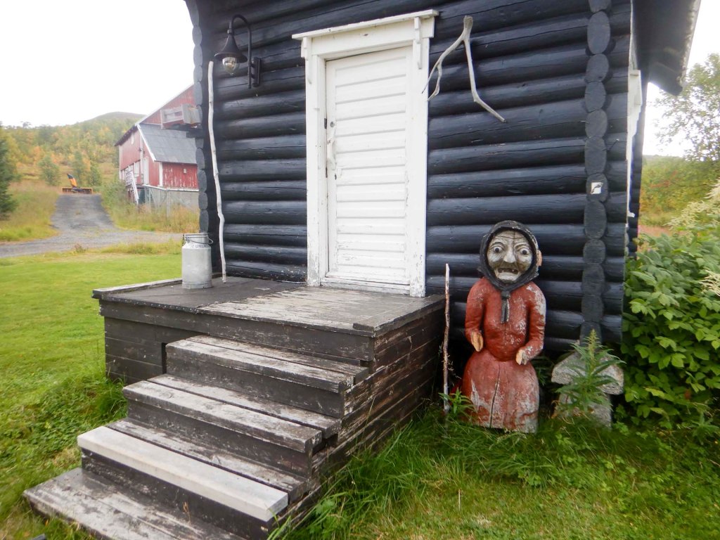
I was able to book a train ticket from Lønsdal where my walk for this year would finish as well as hotels for my final three nights in Norway. It seemed scarcely believable that my walk was drawing to its end.
30 August – 3 September Umbukta to Lønsdal
Breakfast wasn’t available until 9am so I had a lie-in – just until 7am as I wanted to make sure I was ready to leave straight after breakfast. Somehow all the food fitted and I even took a few additional items from the “free” box to supplement my “rations”.
I ate my fill at breakfast – yoghurt, egg, tomato, cucumber, bread, ham, salami, cheese, pate, peanut butter, chocolate spread as well as plentiful coffee and juice. I chatted to the woman who appeared to have full charge of the accommodation – she explained that she’s from Latvia, English is her third language and she is employed at Umbukta Fjellstue from March to October, returning to Latvia to enjoy a well-earned rest for the winter each year.
I left to walk up through the caravan site on to a signed path, enjoying dry weather with blue sky for the first two hours. However, the cloud rolled in and I put on my full waterproofs.
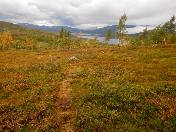
The path was more tricky across an area where there was a warning of potential rockfall.
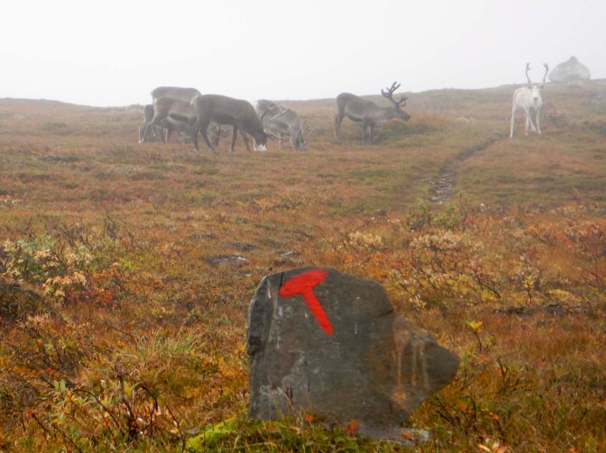
The final stretch of the walk was also difficult with several stream crossings. There was a bridge with a double iron rail but no hand rail. I was concerned about slipping on it or losing my balance with carrying my heavy load. I spotted a place above the bridge where the water was less deep and waded across – the certainty of wet feet seemed more attractive than the risk of slipping off a bridge and falling into deeper water.
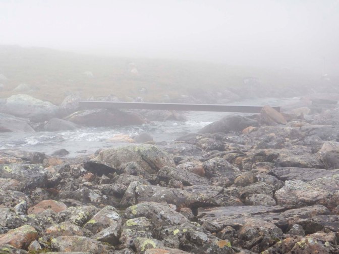
The final stretch was steep and rocky with several streams to cross. Eventually the cabin Sauvasshytta came into view through the fog.
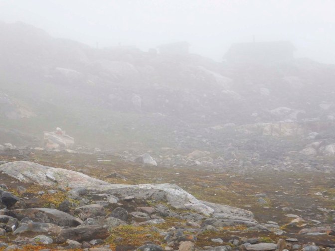
It’s around 990m above sea level. I unlocked the cabin and went to collect water before removing my boots. I filled the 20 litre plastic container then realised I couldn’t carry it so I emptied out about half of it!
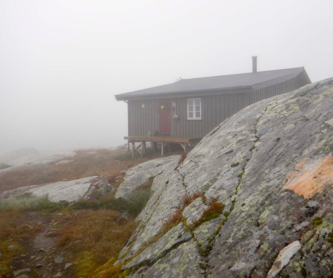
Soon after I arrived, the two people with booked beds turned up. They live in Norway to the west of Mo i Rana and were incorporating a couple of days walking with a border crossing to Sweden to buy some bottles of wine. They had included a bottle of wine in their bags to drink at the cabin and were kind enough to give me a glass too.
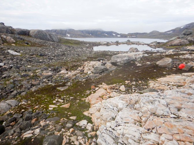
I left next morning at around 07.45am as the early mist was clearing. The walk might only have been around 16km but it was hard work. Initially I walked uphill over boulders to a col. There was a small snow field and I walked around it, taking about an hour to clamber over boulders.
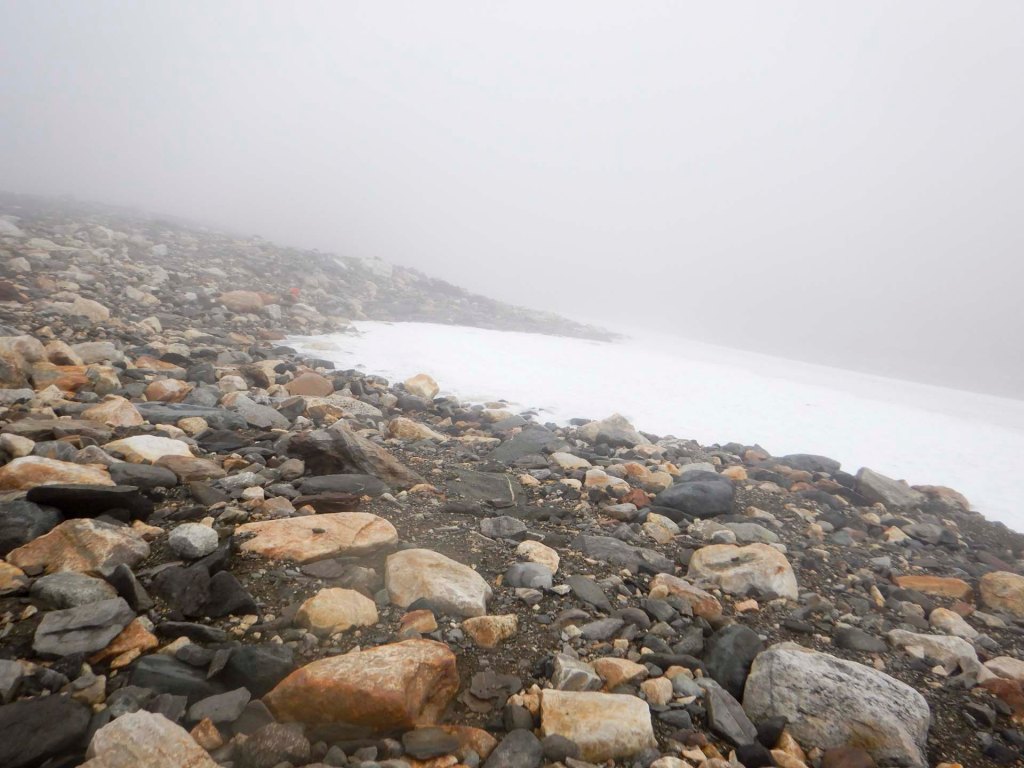
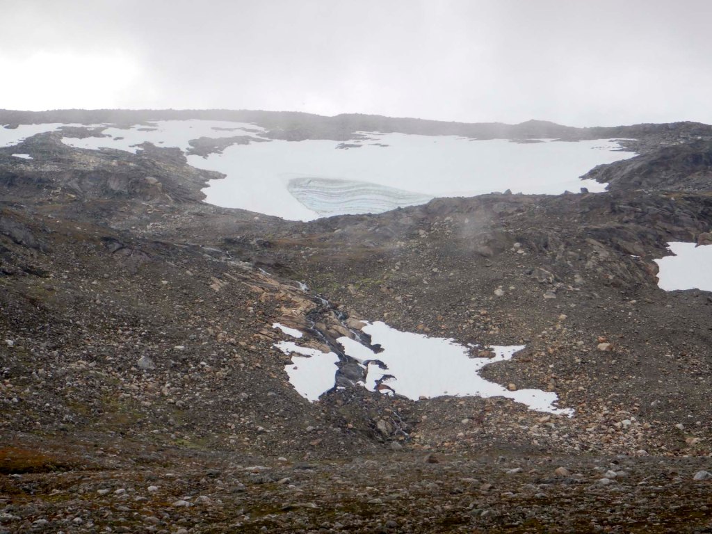
There followed a succession of stream crossings and further rocky areas of boulders.
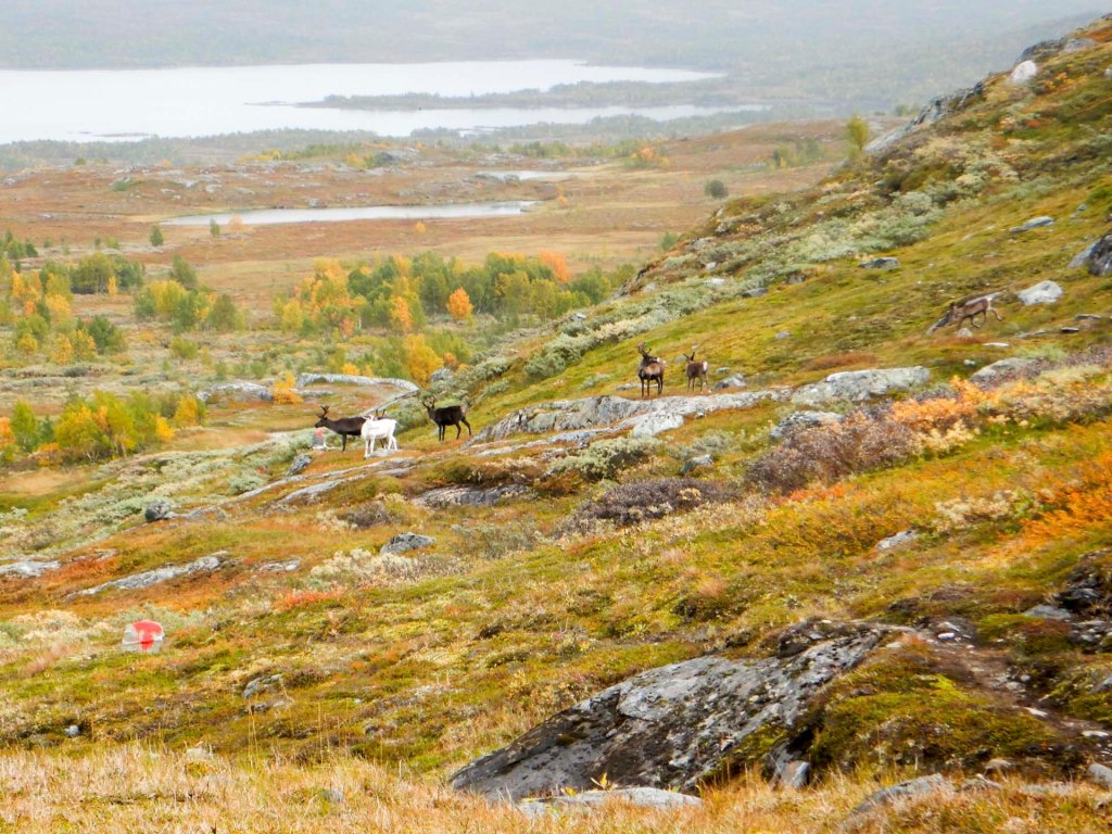
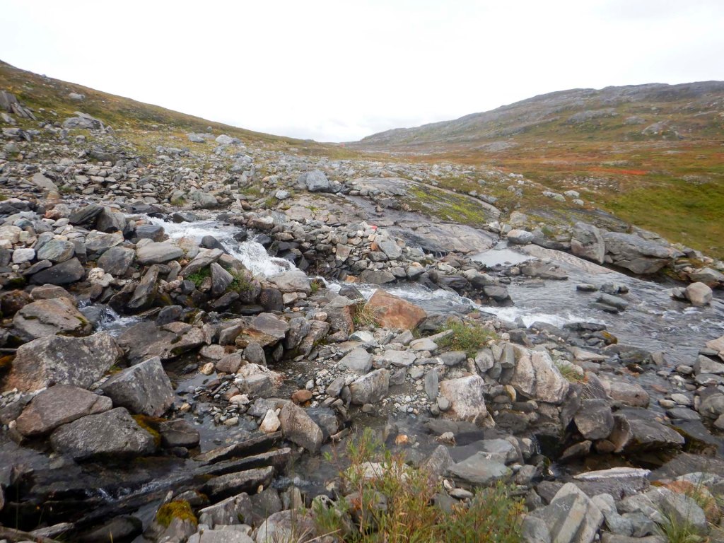
Eventually I reached a reindeer fence and the terrain became somewhat easier with a good path although lots of ascent. The descent to the next cabin – Kvitsteindalstunet – was more difficult. I had the entire cabin to myself and hadn’t seen anyone since I left Sauvasshytta.
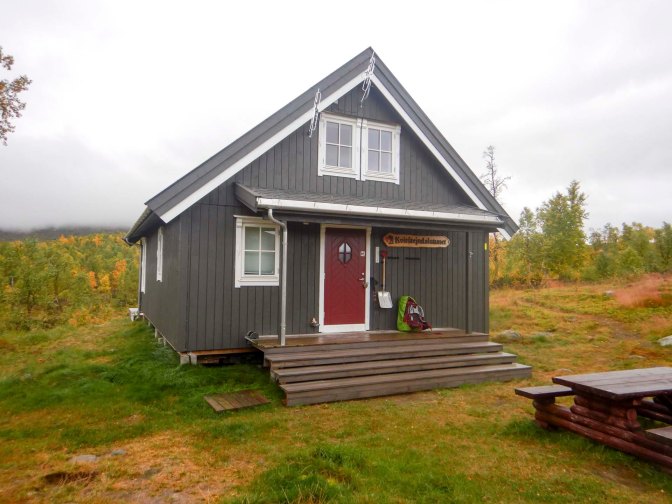
My walk the following day was estimated at 23km and I was concerned that it could be a hard walk if the terrain went on being as difficult as the previous day. I was away by 07.30am in dry weather.
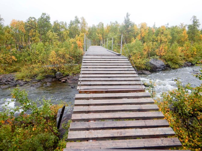
There was a bridged river crossing ten minutes into the walk but less than ten minutes later I arrived at the first of many river crossings where my feet would get wet. Not long afterwards, I arrived at a deeper ford where my boots filled with water and I had to stop to empty out the excess.
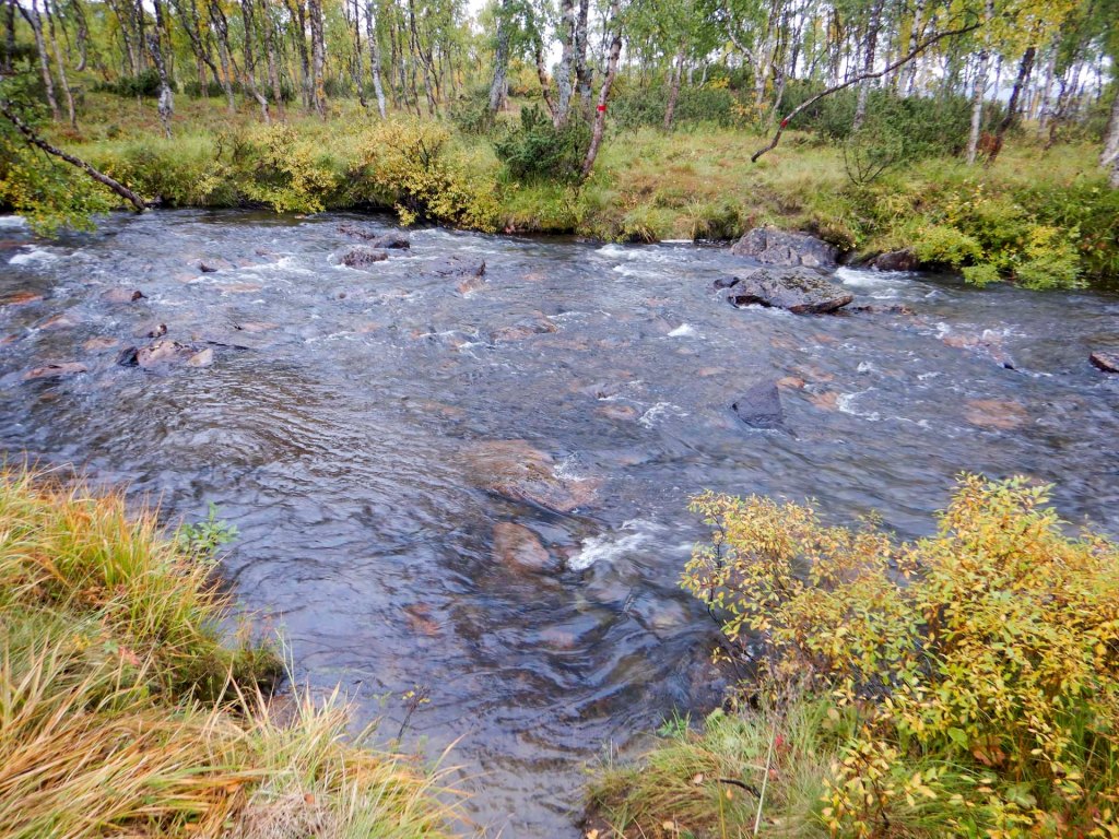
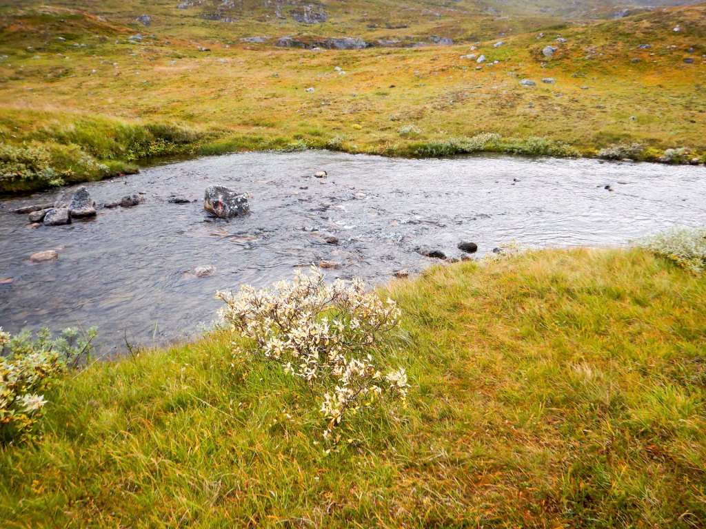
There was some light rain and I donned my full waterproofs. I had to skirt around some potentially slippery wet stone slabs.
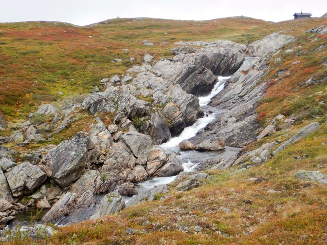
I got very wet feet again as I crossed a river below the emergency hut Krepsendalskola near a dramatic waterfall. I stopped at the hut to drain my boots and eat an early lunch. it was cold even after I had put on my down jacket.
Fortunately the path improved, becoming less stony. There were still swampy areas and rivers to cross but I was moving more quickly. The sun came out so I was walking without waterproofs but it was windy and I put on my wind top. I spotted a large herd of reindeer.
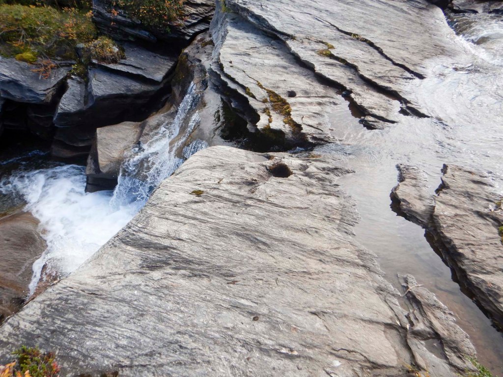
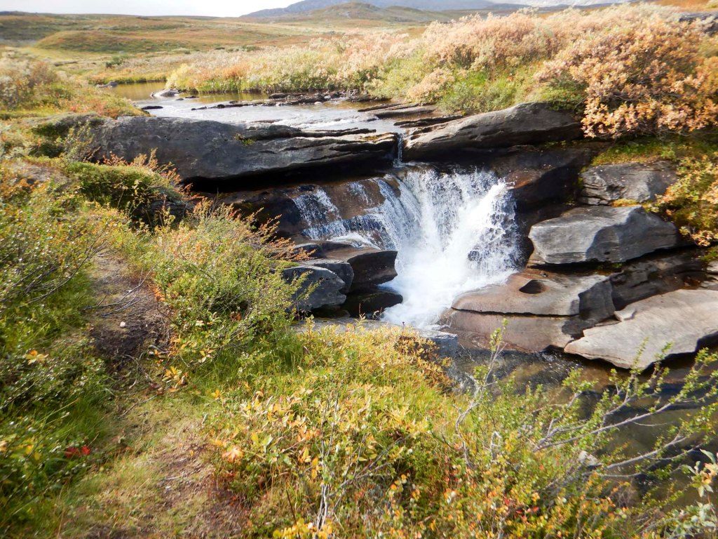
A red arrow marked an interesting river crossing by the top of a waterfall where it was possible to cross without getting wet feet.
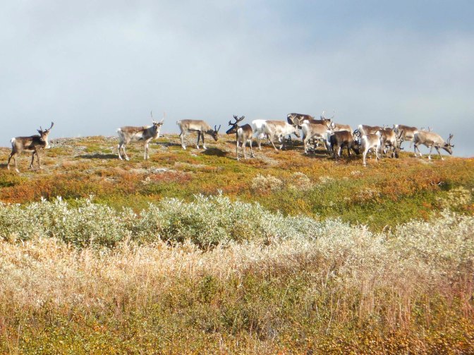
Soon after this, a further river crossing led to very wet feet and I poured water out of my boots for the third time that day. This time it was sunny. The scenery was magnificent – never ending vistas of mountains and more reindeer.
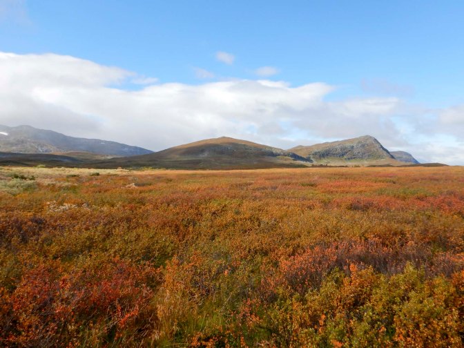
I was about a mile away from the cabin at Virvasshytta but I could see the buildings in a very scenic position near a lake.
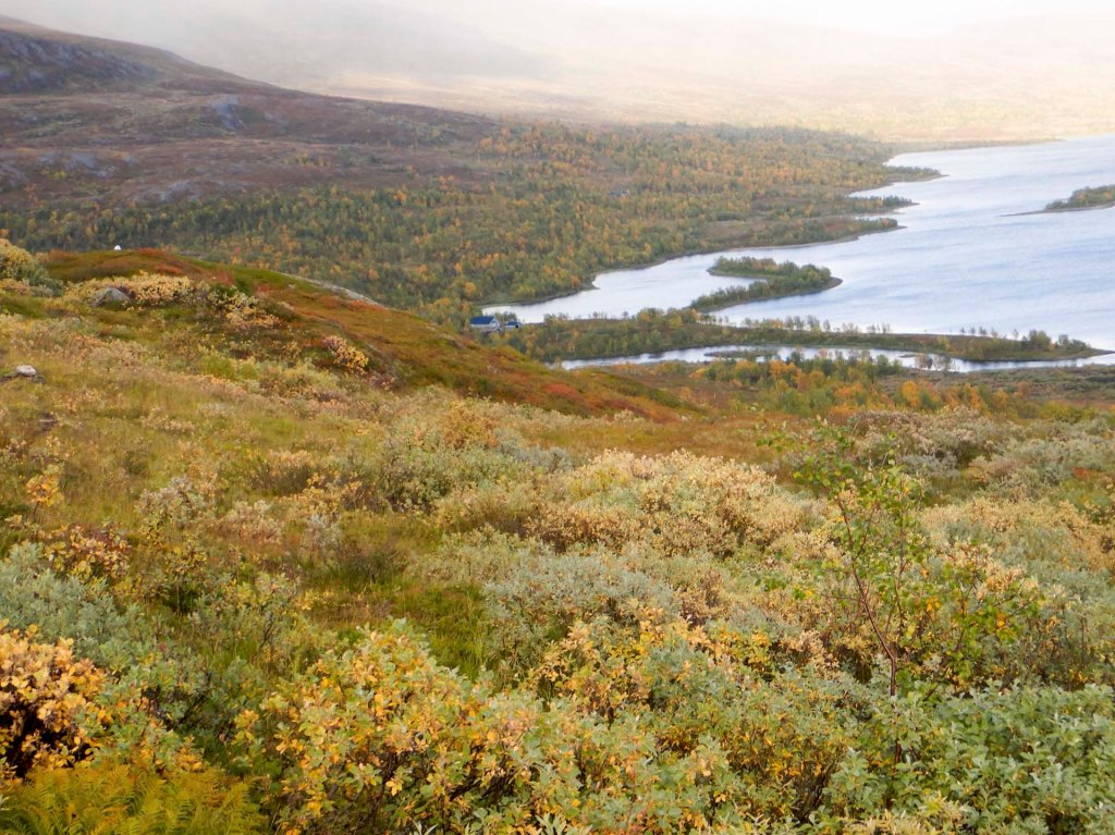
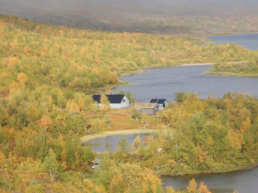
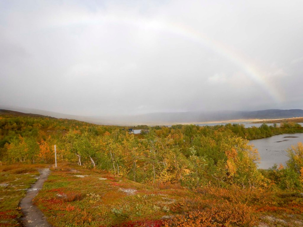
A long approach followed with a descent and I was relieved to see a bridge crossing a significant river in a gorge with waterfalls.
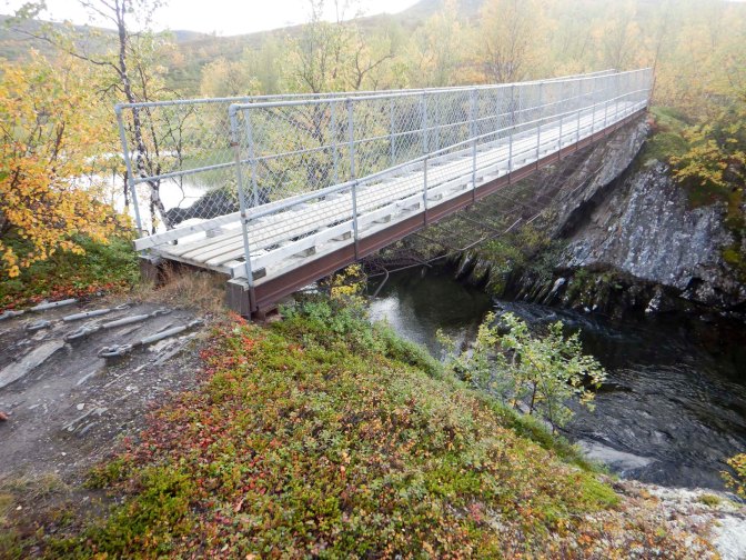
For the second consecutive day, I had seen no other walkers and once again I was the only occupant of the cabin. I lit the wood stove as I needed to warm up and to dry my saturated boots.
Next day I left at 07.15am as I had a walk of 27km to Bolnastua. The cabin there appeared to be fully booked and I decided to look at wild camping nearby. It was misty in the valley but an initial climb took me above the cloud – very scenic with cloud in the valleys and mountain summits poking above the clouds.
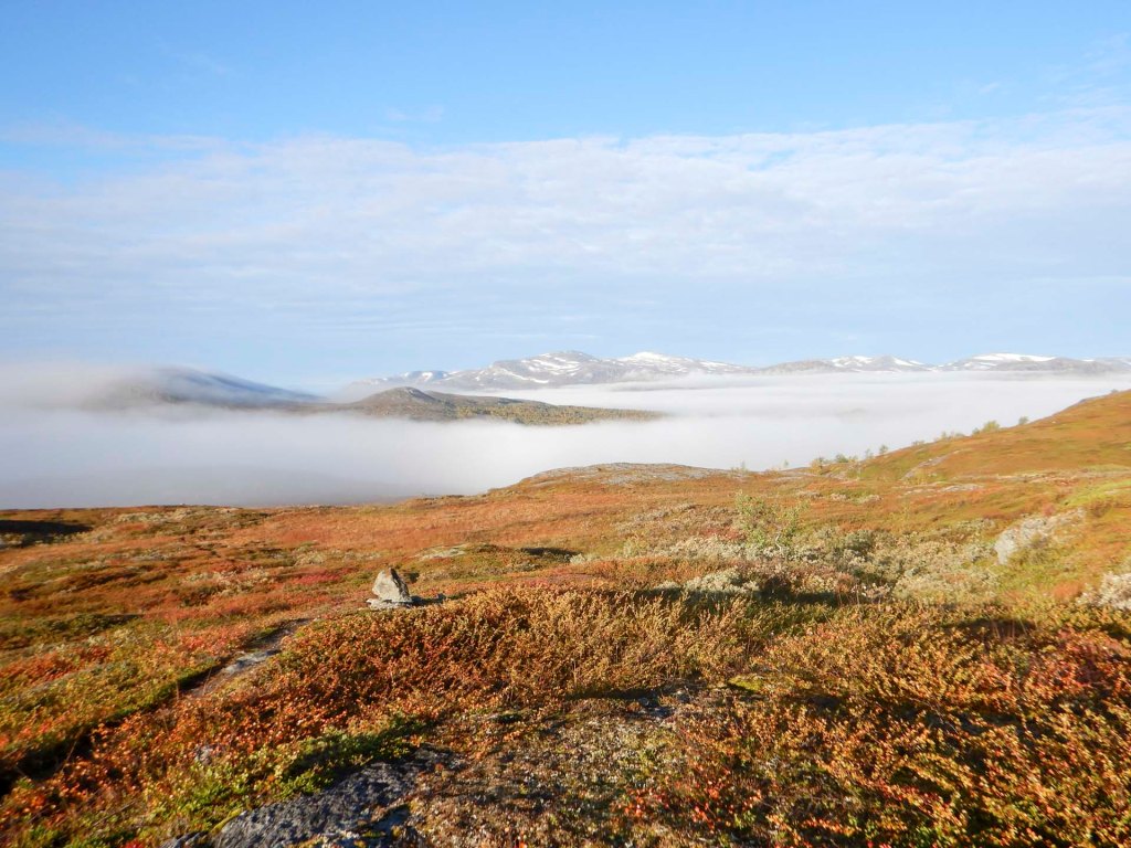
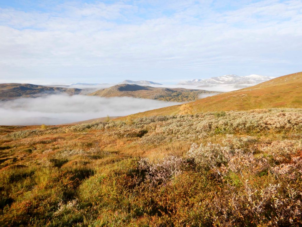
Further picturesque views followed.
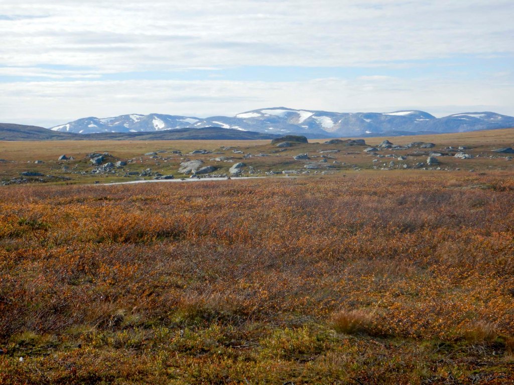
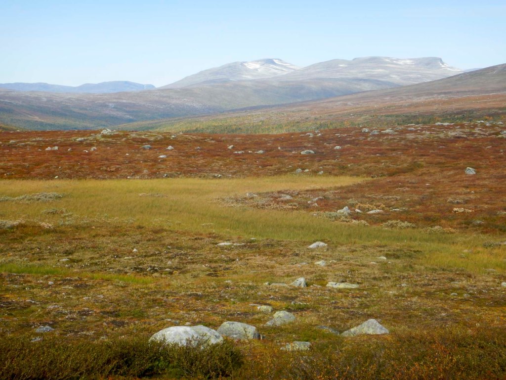
I reached a flatter area and a large unbridged river crossing.
Soon after lunch, I had another difficult river crossing.
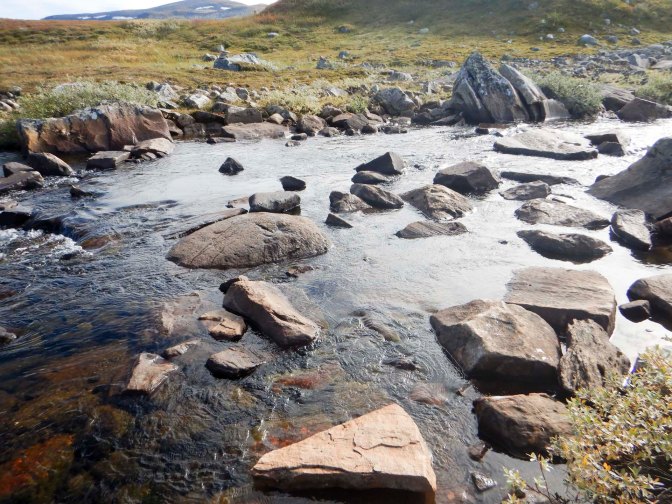
Having not seen anyone for two and a half days, there were suddenly many people (around ten!). I soon realised why when I spotted some parked cars on the other side of a river. I thought I could see a bridge in the position marked on my map and route but it wasn’t on the waymarked path. I deviated towards it then discovered it wasn’t the right way at all when I was stopped by a couple with a dog. I returned to the waymarked route and crossed a very scary footbridge.
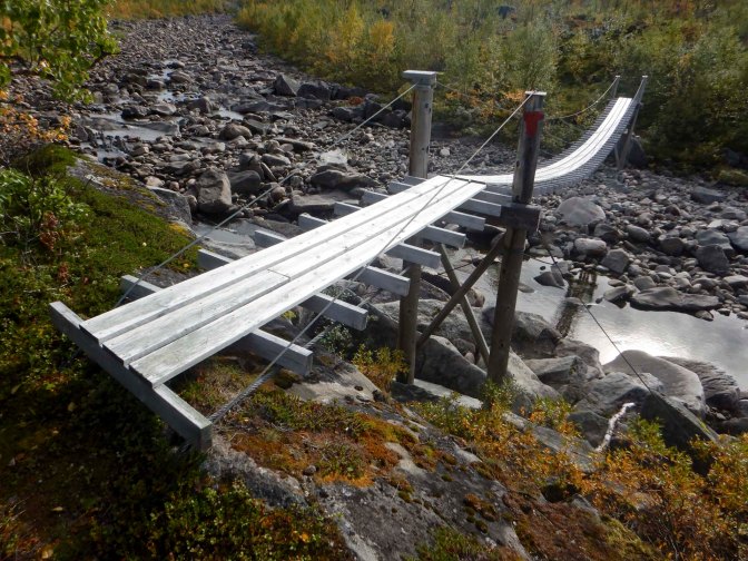
The route continued uphill to a small road which I followed before turning on to another footpath. I had to cross a few small streams and three more significant streams. There wasn’t any suitable wild camping spot so I decided to head for the cabin at Bolnastua anyway as I could ask to camp in its garden.
There was a very steep descent to the main valley and over a slightly less scary bridge.
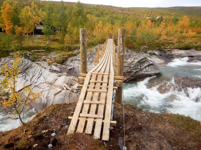
The whole cabin booking at Bolnastua had been made by the local DNT seniors group. One of them told me that there was a spare room which I was welcome to use. They had just enjoyed a special celebration meal – salt cured salmon, baked potato, salad and then stewed cloudberry with cream. There was plenty left and a large portion was offered to me together with a can of beer and a tot of Aquavit. All incredibly kind and generous as well as a fantastic end to my day.
My walk would have ended at Bolnastua but the railway station there is permanently closed so I had to walk around 20 miles (32 kilometres) along the road to Lønsdal where I could catch a train. The E1 route does go to Lønsdal but using a convoluted route taking 2-3 days and with a few potentially difficult river crossings. Hence yet again I was leaving the true E1 route. I’ve seen accounts where other walkers have done the same as me and used the road route. The further advantage of the road is that it passes the Arctic Circle Centre.
That morning, I suddenly realised how Autumnal the weather had become and noticed the changing colours of the leaves on the trees. I’d noticed what appears to be an old road on the map and had hoped to walk on that for part of the way as I assumed it would be more or less car free. However, when I reached the divergence point about 2km from Bolnastua, I discovered that it wasn’t permitted to cross the railway line – “Trespassers will be Prosecuted”. Is this a new notice? – certainly I’d seen accounts by other walkers who have mentioned following a deserted side road. I decided to continue on the main road – after all the sign was in clearly written English and there could be surveillance cameras.
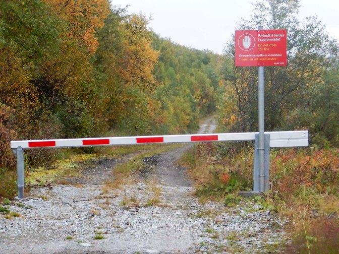
I ploughed on following the side of the E6 to reach the Arctic Circle Centre at 11.30. It was early to eat lunch but I was always hungry and I enjoyed a reindeer burger with chips followed by a chocolate coated muffin as well as copious coffee. I stopped for over an hour including taking the obligatory photos of “the line”.
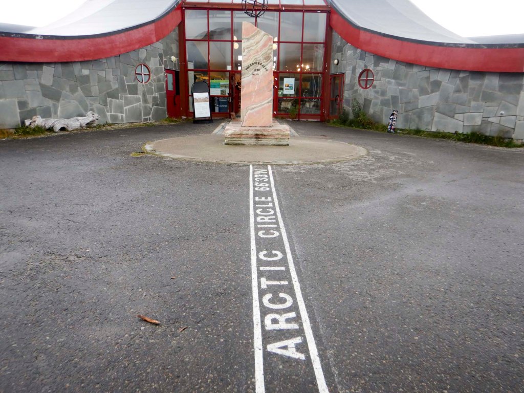
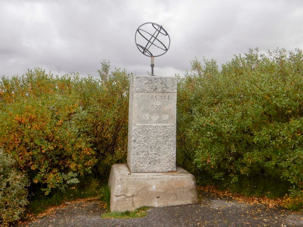
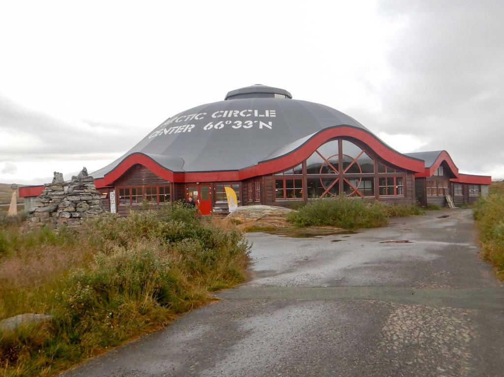
My long trek along the road continued, with just a few rest breaks. The road seemed to be busy in bursts. At least it was scenic in places.
Rain set in during the final hour of my walk. However I was close to a convenient rest cabin where a German “car tourist” was sheltering from the elements while he prepared a meal for himself.
I spotted an elk with calf near the roadside but they ran off quickly.
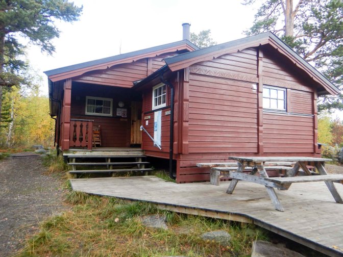
With all the rest breaks I had taken, it was 18.30 when I arrived at the cabin. I was the only occupant once more. Actually there are two cabins and space for 33 people and it appeared to be popular with school groups. I was exhausted and hungry!
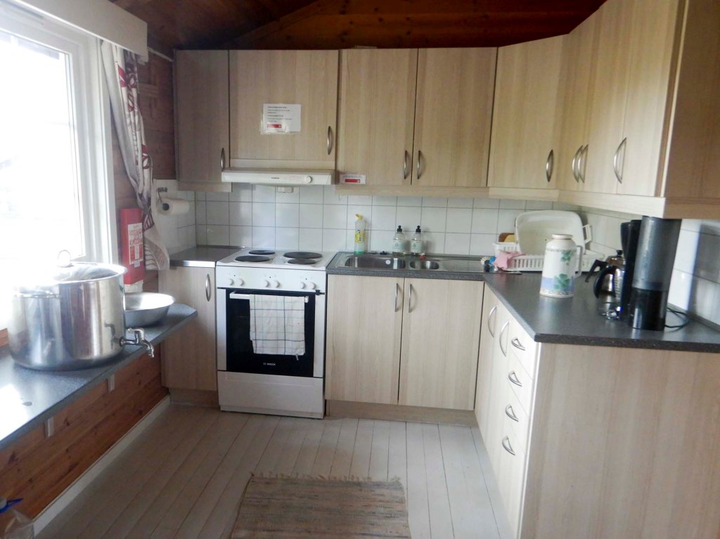
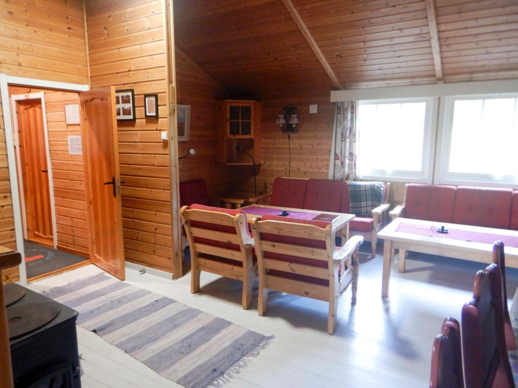
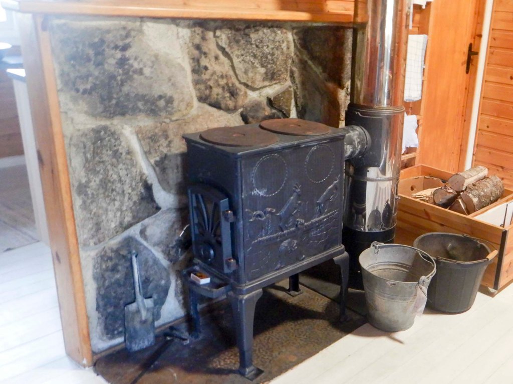
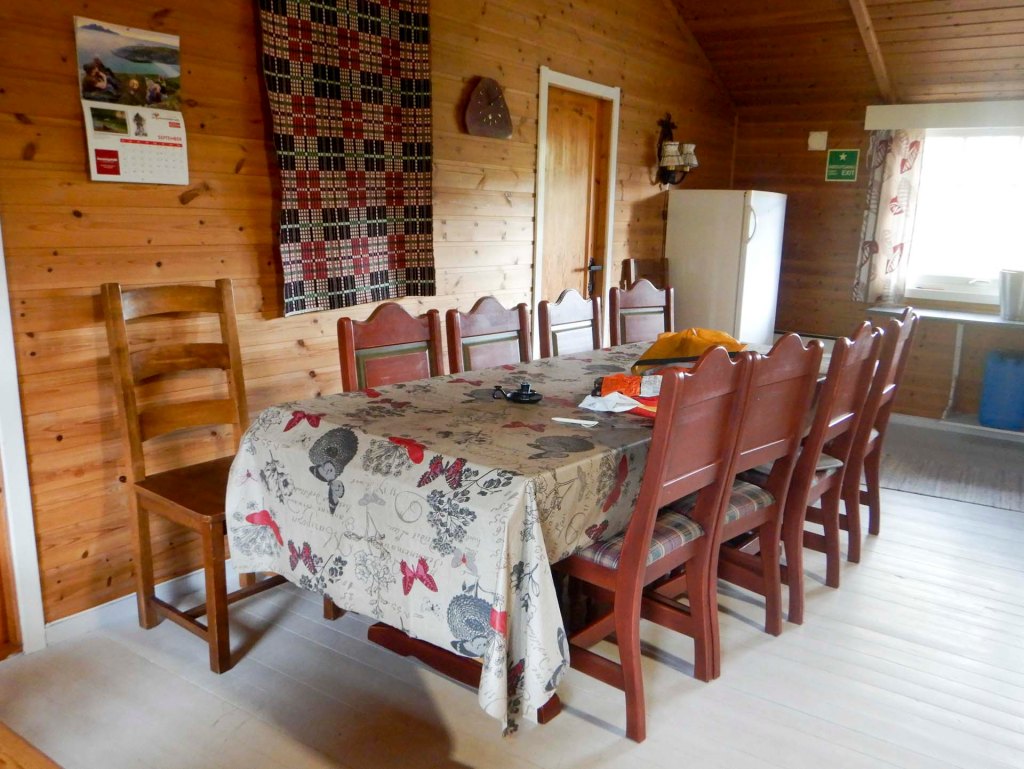
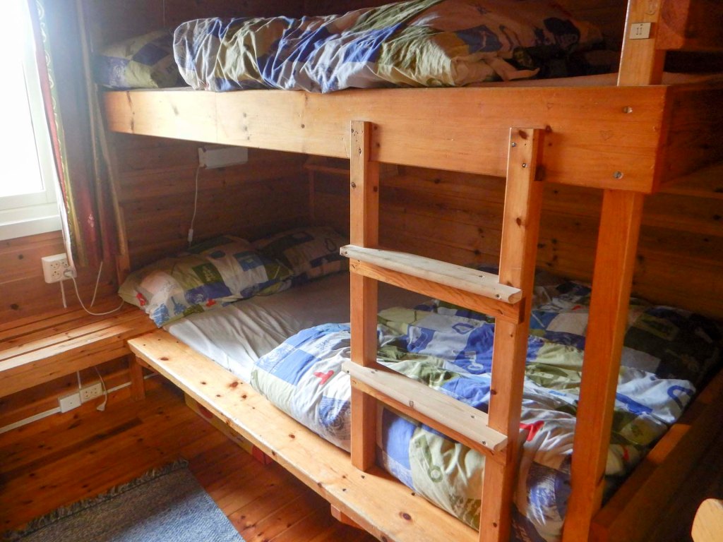
4 – 7 September The journey to home
My train wasn’t until just after 2pm so I had a relaxed morning packing my rucksack, cleaning the cabin and eating – a good breakfast, a mid morning snack and a full meal for lunch as I still had the meal I hadn’t needed at Bolnastua where I had enjoyed the traditional Norwegian celebration food given to me by the DNT senior group.
I even spotted a red squirrel through the window.
I arrived early at the station and was relieved to discover that this was staffed by a station master who would ensure the train stopped for me – it’s listed as a request stop.
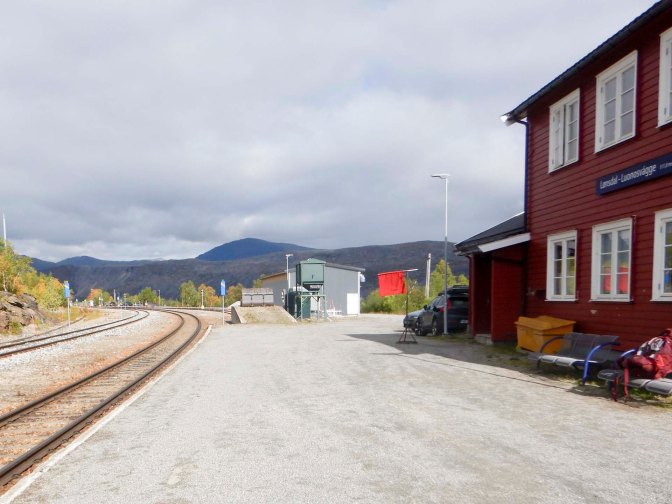
I’d paid a small additional supplement for the Premium Plus Service – this turned out to be well worth the money as I had a fully reclining individual seat with lumbar support by the window with so much leg room I could put my rucksack on the floor in front of me. There was also free tea and coffee plus snacks available at the end of the carriage for the duration of my journey taking just over six hours through magnificent Norwegian scenery.
My booked hotel was only metres from the railway station. I didn’t need to leave Steinkjer until the afternoon so after breakfast I checked out and left my big rucksack at the hotel left luggage room.
I walked to Egge to look at the church and the scenery. Sadly the open-air museum had already closed for winter after its short summer season.
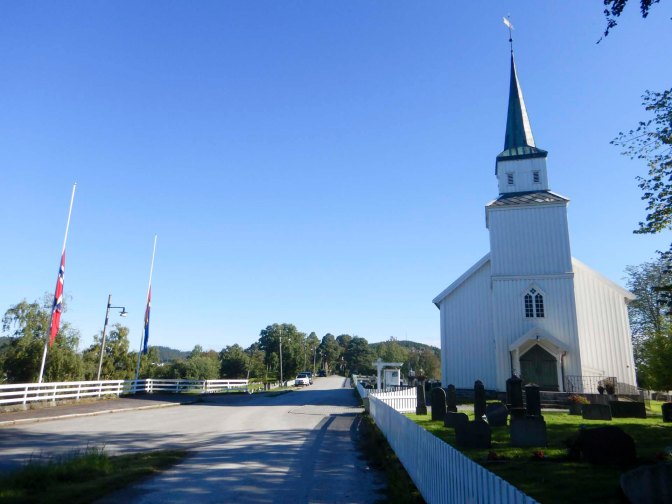
However, the culture house at Steinkjer was open and I’d spotted that the “Stenkaret Experience Room” was open from noon to 2pm – vast, interconnected worlds of ultra-detailed video with thirty million pixels responding to the audience’s movements and accompanied by complementary audio tracks. I entered the room to enjoy the entire programme – an interactive children’s story about two friends; a whale swimming around turtles, dolphins and jellyfish accompanied by a soundtrack of music and natural sounds; the story Haugtussa about a clairvoyant shepherd girl experiencing an intense battle between good and evil; burial customs in the transition period between Norse and Christian times; finally and the most interesting for me was the installation about the old city of Steinkjer before the war, the air raid in April 1940, and a ruined city that has to be rebuilt. Historical photos and film footage were mixed with animations in an immersive narrative telling about a city that was levelled to the ground and then rebuilt according to completely different principles than before. Even for a visitor to the town like myself it was a powerful visual and emotional reminder about the impact of war and destruction of whole communities. The rebuilding is a painful process and will not be done in a way that satisfies everybody.
I ate lunch at the culture house then collected my bag and caught the train to Stjørdal where I’d booked to stay in a waterfront hotel. It was convenient for the airport but also an easy train ride from and much less expensive than central Trondheim where I planned to go sightseeing the next day.
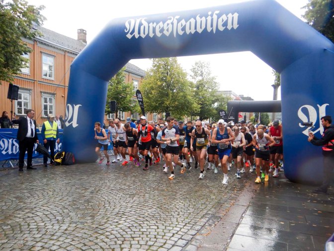
I soon realised why it was so expensive to stay in Trondheim that weekend when I arrived to a city full of runners. I saw the start of the full marathon then headed to the cathedral before the half marathon started. There’s normally an admission charge but this was waived during the time of mourning between the death of the King on 28 August and his funeral on 9 September so that mourners could enter to sign the book of condolence. Unfortunately, despite notices asking tourists to respect the mourning period, people persisted in taking photographs inside the Cathedral. Not wanting to be mistaken for a rude tourist, I hid my camera away and decided to stay for the upcoming service.
The liturgy was familiar and so I could follow the service of Holy Communion despite it being in Norwegian. However, I’m not sure what the Bible readings were and of course I was unable to understand the sermon. Despite my lack of understanding, I felt welcomed and enjoyed the worship.
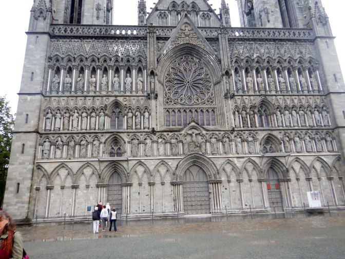
After eating lunch in the Cathedral refectory, I visited all the museums in the cathedral precincts – the armoury, the Archbishop’s Palace museum showing the archaeology of the building as well as exhibits that were found during excavations and the crown jewels building including a film about the recent cathedral restoration. Amazingly, admission charges for all three museums were waived during the mourning period – the sites were all very quiet so I suspect many people expected them to be closed.
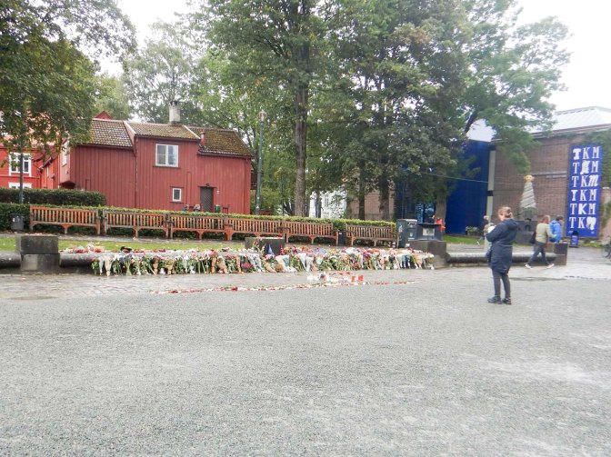
All that remained was for me to catch the train back to my hotel at Stjørdal where I stayed for a second night before catching my plane to Gatwick the following day. My day in Trondheim had proved to be a fascinating conclusion to my seven weeks in Sweden and Norway.
I hope to return next year to continue my long trek towards Nordkapp.


