9 July and 11 July 2026
I set off from Stromness, the old capital of Orkney and still its biggest town apart from the current capital at Kirkwall. I passed the busy ferry terminal where the crossing from Scrabster on the Scottish mainland lands and the terminus for the non-vehicle passenger ferry to Hoy.
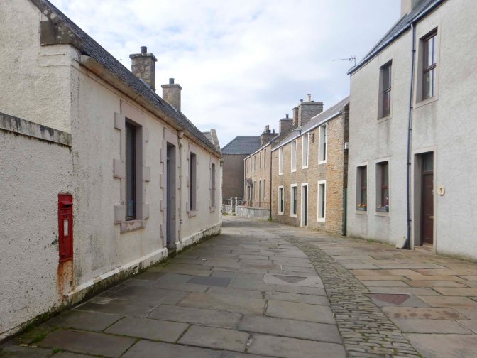
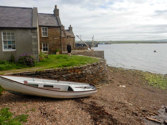
The main flagstone paved street is full of interesting old cottages many with their own private piers directly on to the harbour.
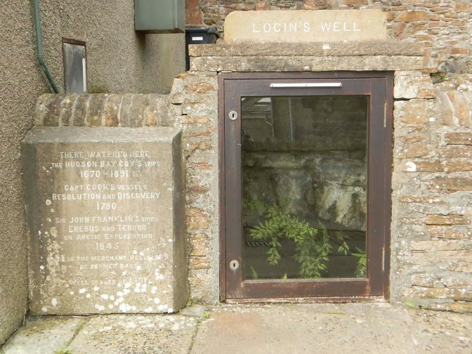
This was a final stop for victualling ships of the Hudson Bay Company before crossing the Atlantic – there’s a sealed off well where they took on water. I saw the site of the old temporary hospital for sailors with scurvy. There are a lot of blue plaques, notably one for Dr John Rae, the Orcadian explorer who discovered the final link in the North-West Passage.
Leaving the town behind me, I rounded the point of Ness where there’s a campsite and views of the high ground on Hoy (befitting the island’s name which originates from the Norse for “High Island”).
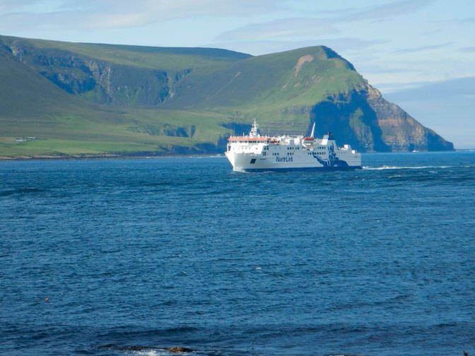
The North Link ferry from Scrabster was approaching.
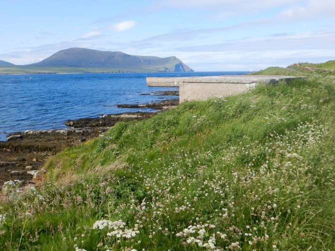
I passed the RNLI station and some Second World War gun emplacements.
I passed the cemetery overlooking Hoy Sound where the poet George McKay Brown is buried.
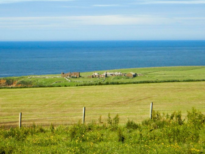
There are views of Breckness House on a headland, the site of the 17th-century mansion, chapel and burial ground, built by George Graham (1565–1643), Bishop of Orkney who was the last bishop to build a house on Orkney.
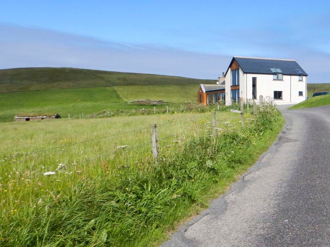
A minor road becomes a track past a modern house with stunning views. The track becomes a steep footpath and I climbed up to a lookout on the summit of Black Craig. I could already see the unmistakeable shape of the Kitchener Memorial far ahead on a cliff, although I wouldn’t be reaching it until near the end of today’s walk.
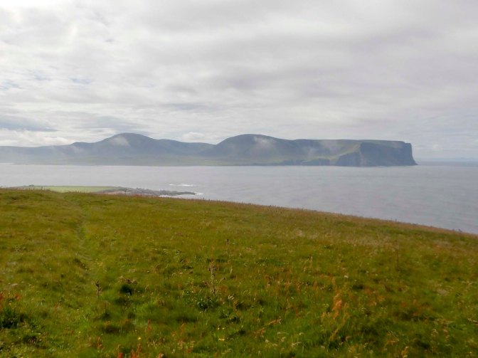
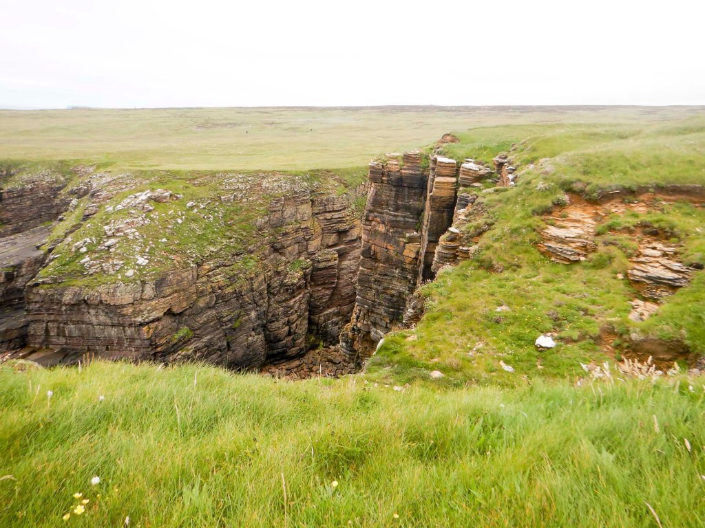
There were lots of familiar seabirds – great skuas, Arctic skuas, guillemots, gannets and Arctic terns. There was also magnificent coastal scenery – high stacks, multiple caves and steep sided inlets (geos).
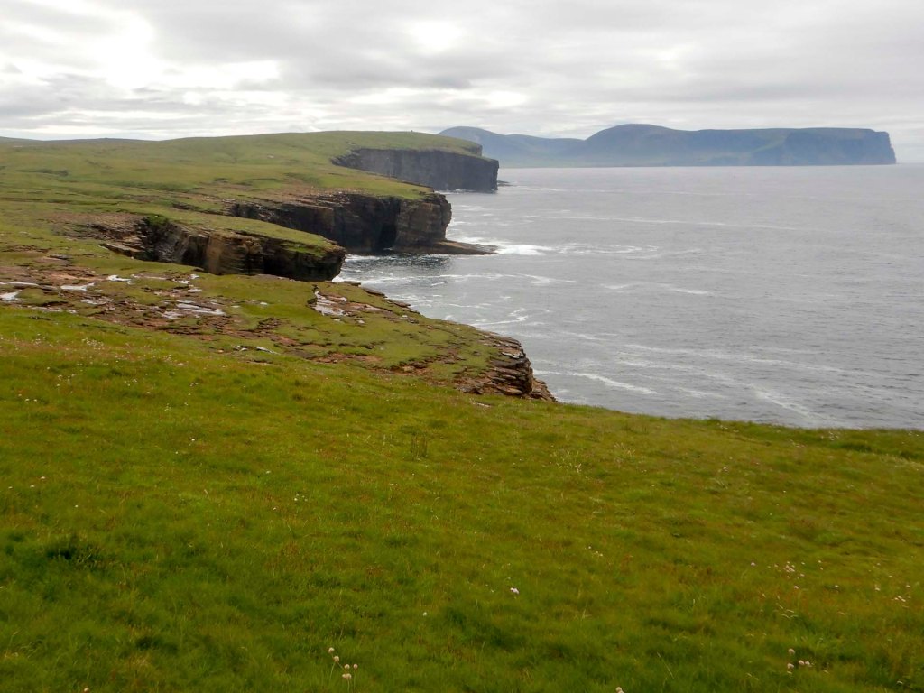
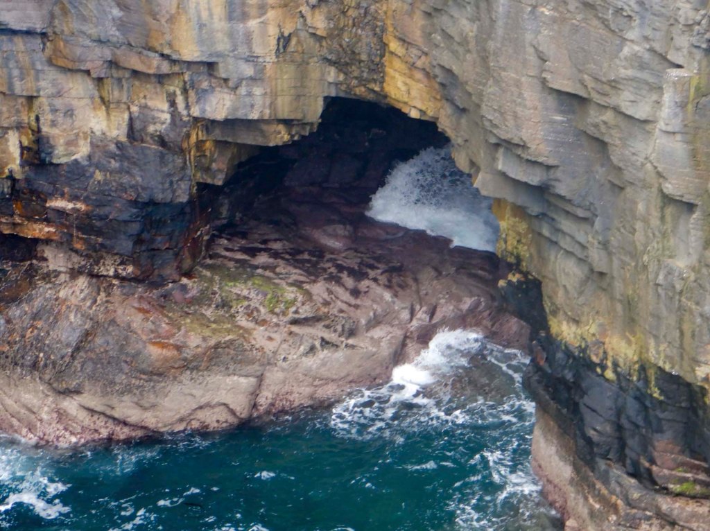
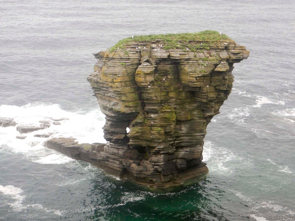
There were many more people walking as I approached the huge and impressive convoluted stack of Yesnaby Castle with a natural arch within the stack itself.
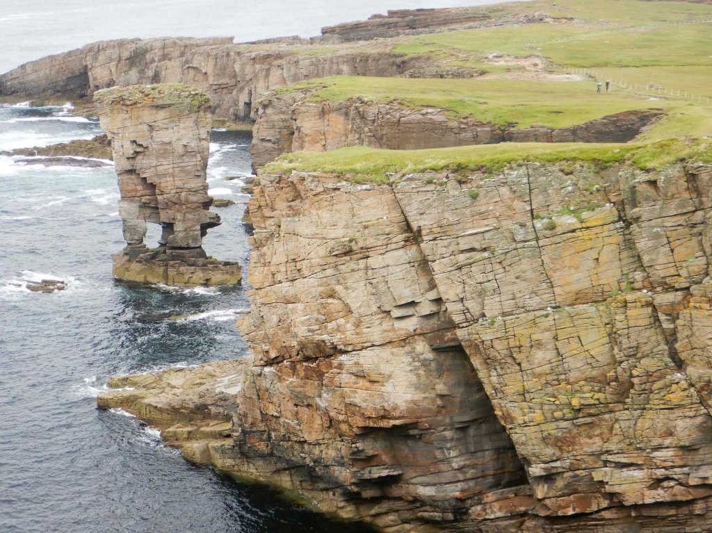
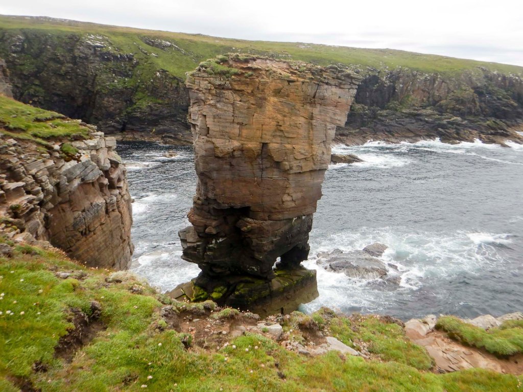
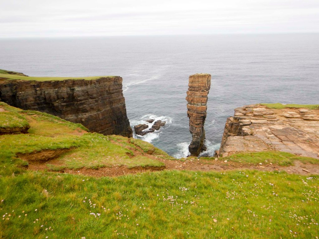
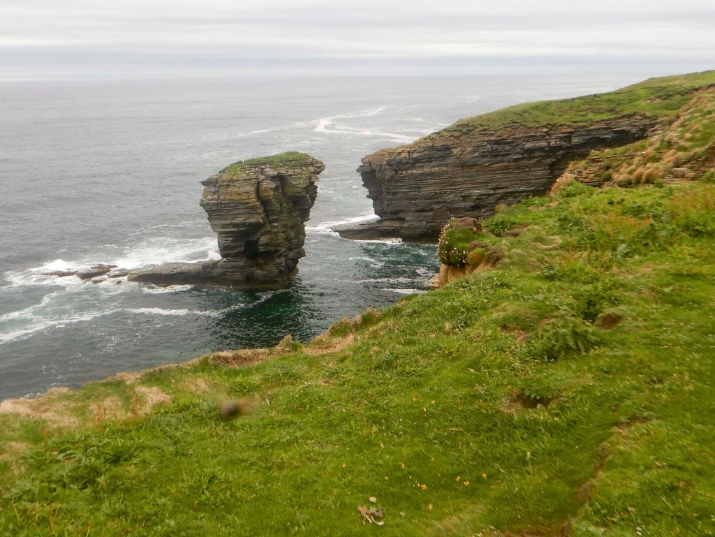
Further on, there’s an (almost) stack joined to the land by a single rock near the top.
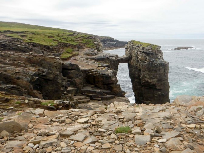
I detoured on to the top of Brough of Bigging where there are the barely discernible remains of an Iron Age hill fort.
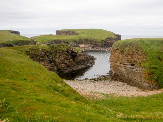
At the parking area, reached soon afterwards, are the remains of a Second World War anti aircraft battery.
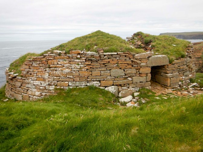
I reached the broch of Borwick – the remains of an Iron Age broch.
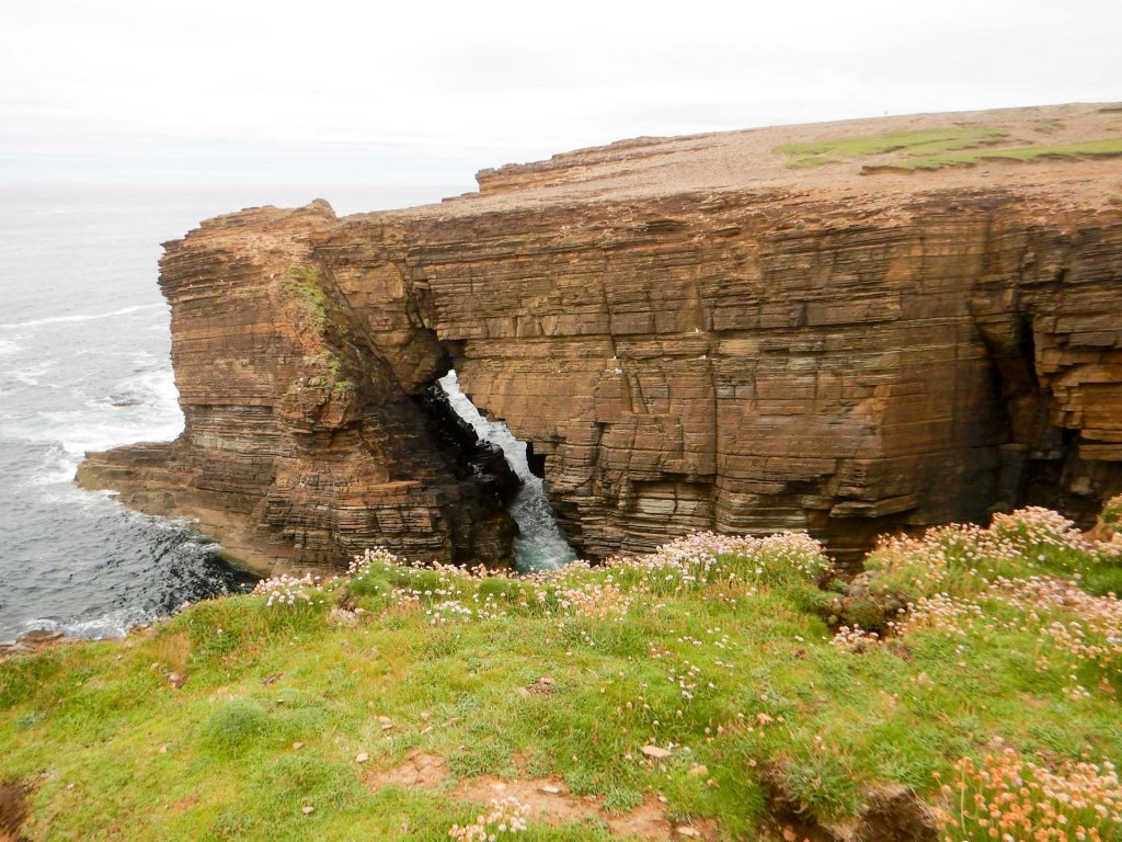
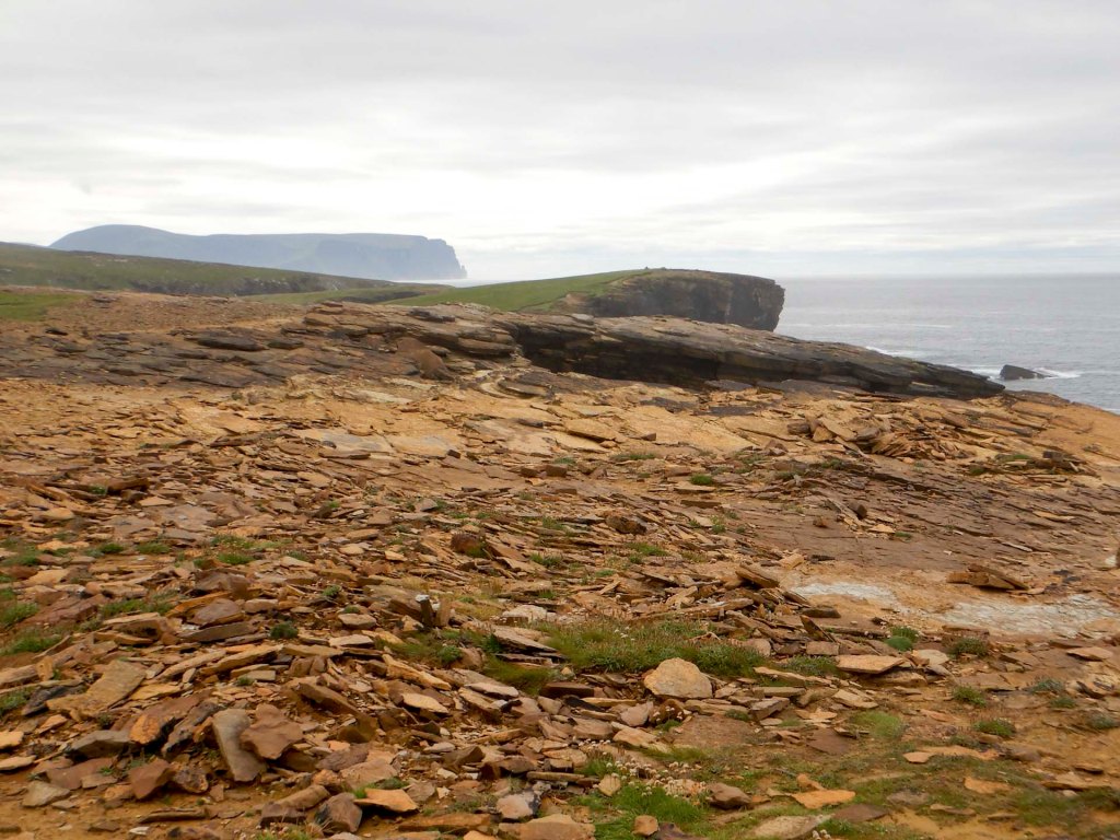
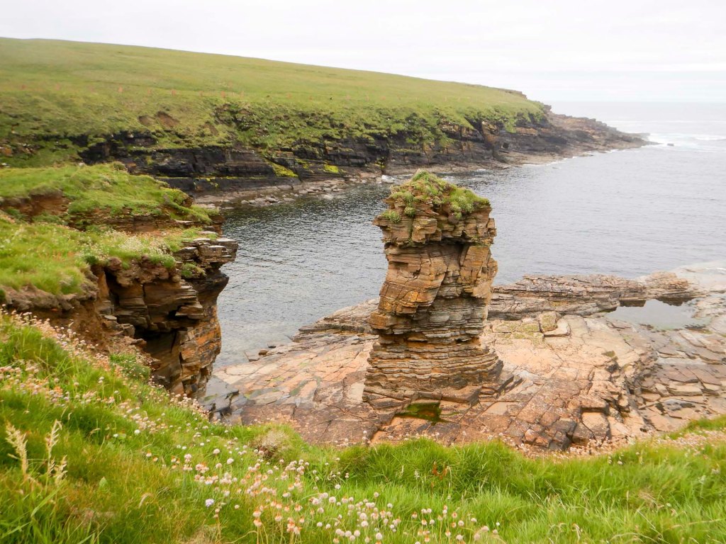
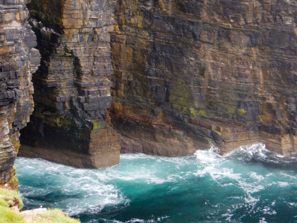
Further geos, stacks and viewpoints looking towards the Old Man of Hoy followed before the descent to bay of Skail and the Neolithic settlement of Skara Brae.
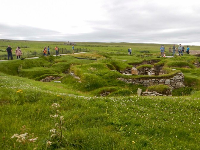
The path continued although it looked as though some erosion meant that the section on the cliff outside the fence wasn’t safe. I finally walked through a field from which the only escape option involved crossing a barbed wire fence.
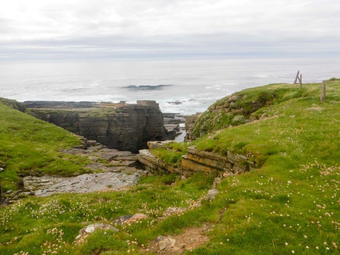
There are even more geos and stacks.
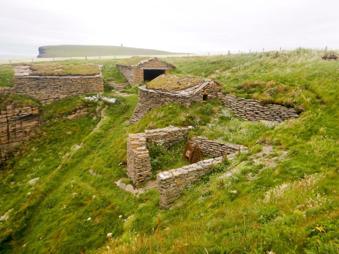
At Sand Geo I came across some restored fishermen’s cottages, the originals dating from the late nineteenth / early twentieth century. The fishermen worked with hand-lines to catch cod and haddock.
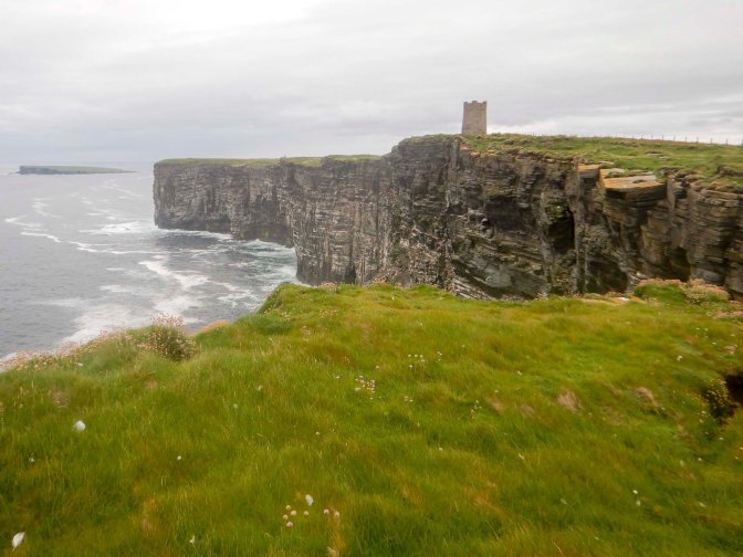
I climbed Marwick Head – to my relief the cattle including a bull were safely separated from me by a fence. Eventually I reached the 1926 Kitchener memorial that I had been able to see in the distance for so long.
I could see the Brough of Birsay which was at that time cut off by the high tide as I had expected.
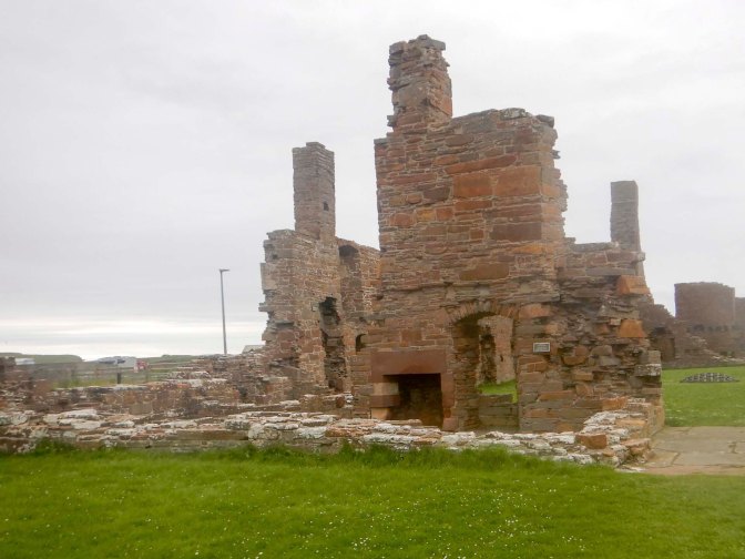
The path petered out and there was no stile over a barbed wire fence so I walked inland along a track past a cemetery and then entered Birsay Village past some closed tea rooms. The shop was still open but I didn’t succumb to temptation as I was sure my husband would be waiting for me at the far side of the village. I walked past the Earl’s Palace that I’ve visited previously a few years ago.
The adventure continued two days later after my return from Hoy. The tide was low and so the tidal causeway to Brough of Birsay was uncovered. My husband joined me for this section of the walk.
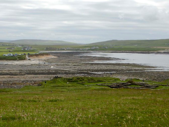
The tidal island was occupied from the fifth century with a Pictish fortress but was seized by Vikings in the ninth century. Thorfinn, who owned much of Orkney and the Western Isles had a manor house built for himself.
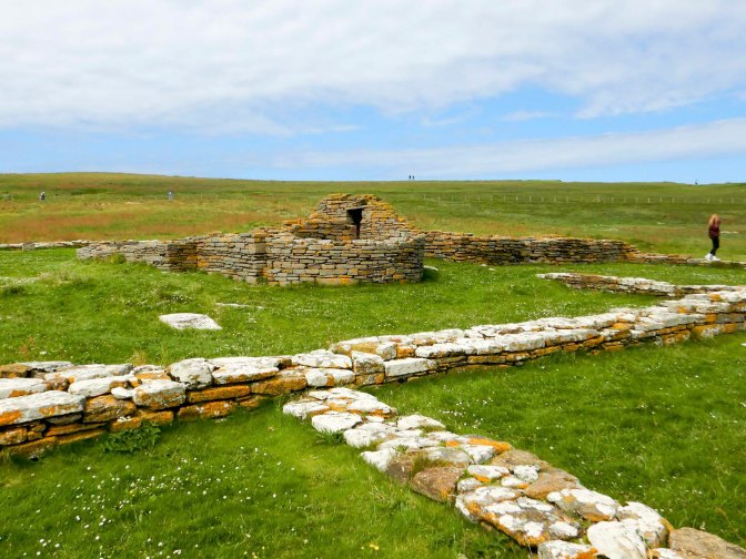
There are remains of a Norse settlement and ruins of a twelfth century Romanesque Church dedicated to St Peter. There’s also a reproduction Pictish stone.
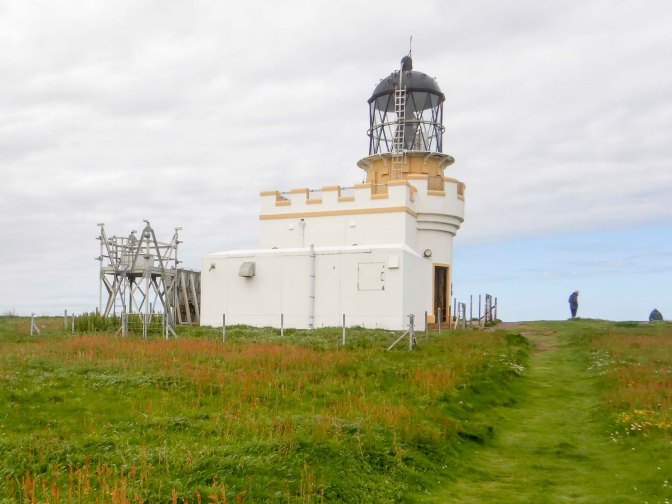
We headed over the island to the short Stevenson lighthouse (as it’s on a cliff it doesn’t need to be tall).
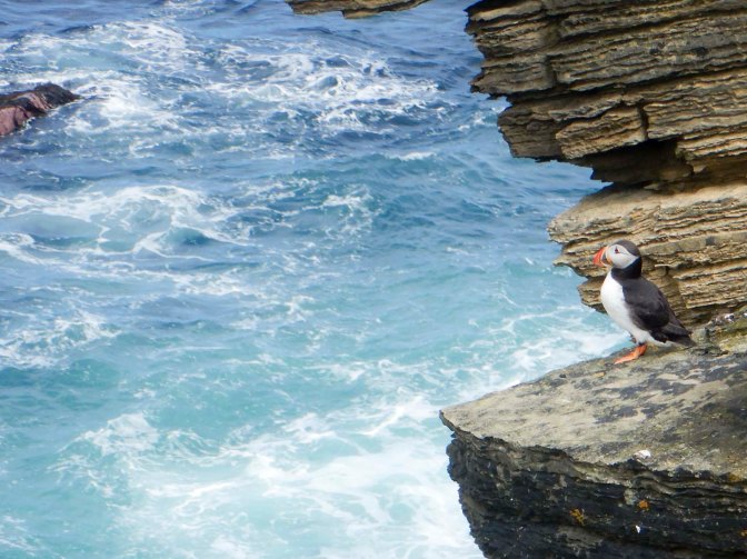
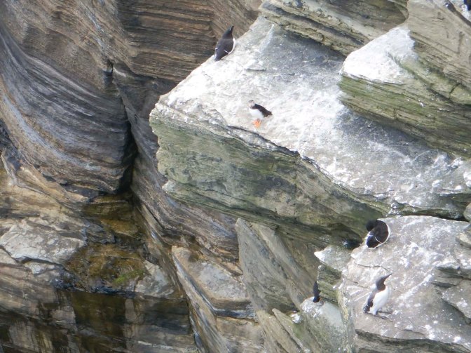
There are geos and a blow hole. On the cliffs we saw puffins, guillemots, gulls and cormorants as well as spotting the occasional gannet flying past.
Skylarks were singing and ascending from the meadow grass on the cliff tops.
This was a fine end to my West-side adventure along a dramatic coastline packed with features of geological and historical interest. It had been amazing to see the brough of Birsay both with the causeway completely hidden under deep water at high tide two days earlier and at low tide when it’s possible to walk without wet feet to the tidal island.


