3 July 2026
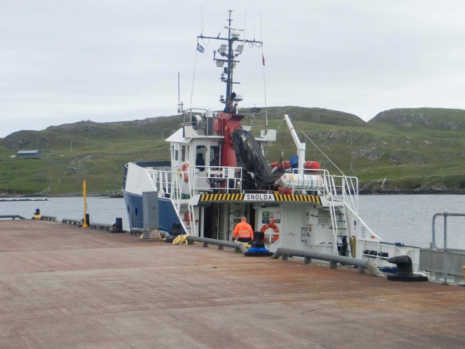
It’s quite a journey from Lerwick to Papa Stour – over twenty five miles on land with the final five miles on a single track road with passing places and steep, hilly sections, followed by a ferry journey of over five miles on what can be quite a choppy crossing over the Sound of Papa. Six people on foot and the occupants of a SUV with sheep trailer were the only passengers. In addition to me, the foot passengers were three Jehovah’s Witnesses (one from Lerwick and two visiting from London) plus the Shetland Islands Council Chair of Committee for transport and the environment with her husband who is the Shetland based meteorologist for the UK met office. The former were going to Papa Stour on an evangelistic crusade, although, seemingly unbeknown to them, twelve of the twenty strong population were off the island. The latter are keen walkers and runners planning to celebrate their thirty-third wedding anniversary by walking anticlockwise around the entire island.
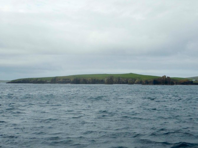
I had planned a clockwise route and, in order to have time to take in some culture too, I was omitting some sections of the very indented coastline. Visibility was good and as we approached Papa Stour, we could see the unmistakeable silhouette of the cliffs of another island: Foula in the distance – at 1,233 feet in height this includes one of the highest sheer sea cliffs in Britain.
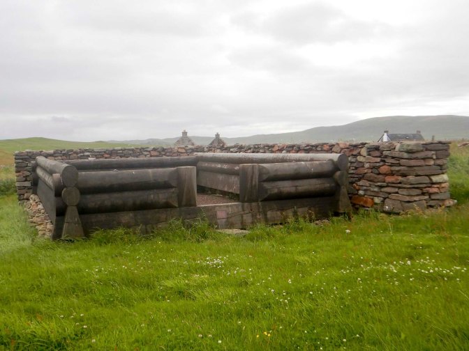
My walk began by traversing the single road on Papa Stour. My first stop was at Da Biggins (Old Norse bygð = hamlet). Between 1977 and 1982 excavations there revealed the remains of a wooden floor, believed to be that of a stofa (timber house made from notched logs). When the stofa was built, in the thirteenth century, Shetland was part of Norway and the stofa was part of the Norwegian Lord of Papa Stour, Duke Hakon Hakonsson’s farm at Da Biggins. A partnership project between Papa Stour History Group and Norwegian traditional craft groups to build a partial reconstruction on the original foundations was completed in 2008. The large logs were worked in Bergen using tools and methods typical of the medieval period then shipped to Papa Stour for construction on site. The drystone walls designed to protect the stofa’s timbers from prevailing winds were rebuilt with local stones.
A dispute at Da Biggins in 1299 is recorded in Shetland’s earliest surviving written record. A woman called Ragnhild Simunsdatter confronted Thorald Thoresson who was Duke Hakon’s representative in Papa Stour. She accused Thorvald of cheating Hakon by taking higher rents than were due from the nearby farm of Bragasetter. The case came to Shetland’s parliament at Tingwall (on Shetland mainland); Ragnhild’s allegations were rejected and the court drew up a document giving details of the quarrel including an incident that took place at the stofa.
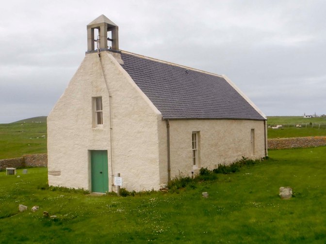
My next stop was at the Kirk, built in 1806, when more than 300 people lived on the island. When I last visited Papa Stour in 2004, it had still been configured as a traditional church building. Now it has been transformed, a process that took over ten years! I was extremely impressed. It remains open for weddings, funerals and worship, retaining the pulpit, some pews and a war memorial stained glass depiction of Jesus calming the Sea of Galilee.
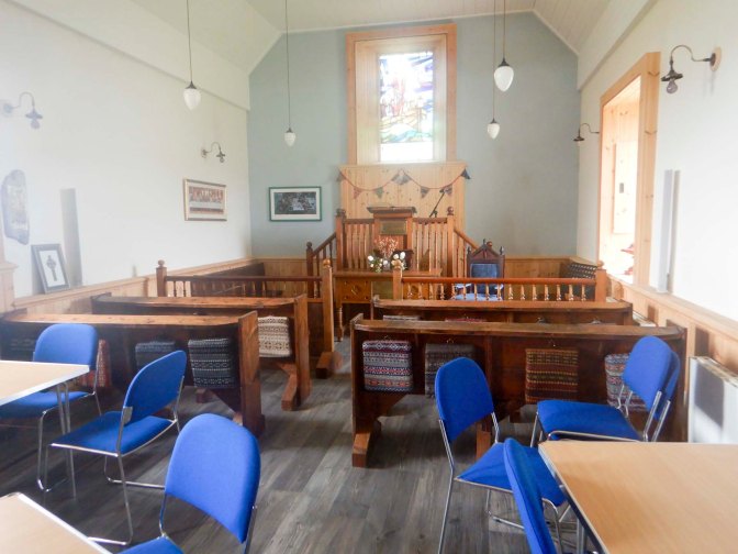
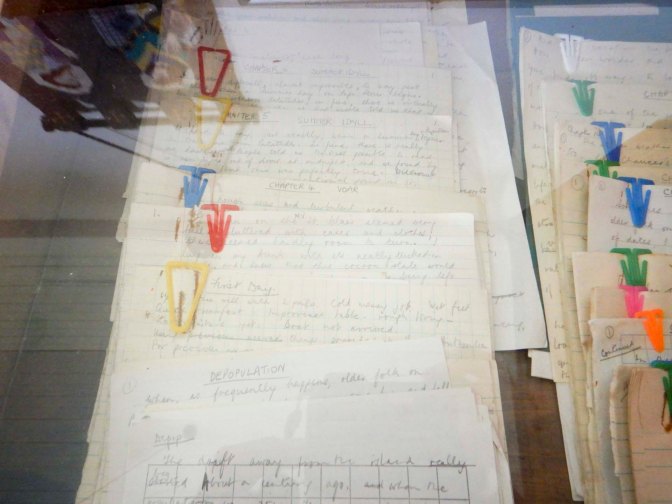
However, it is now also a community centre and a visitor centre, including displays of original manuscripts by author Stella Shepherd who wrote “Like a Mantle the Sea” about her time living in Papa Stour during the 1960s. She had moved with her husband who was the final resident Church of Scotland Minister on the island while she was the teacher at the nearby island school, which is currently closed.
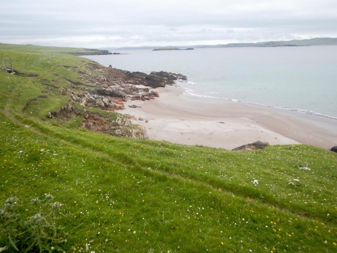
From the Kirk, I made my way over some stiles to Kirk Sands and was soon wandering around the rocky coastline.
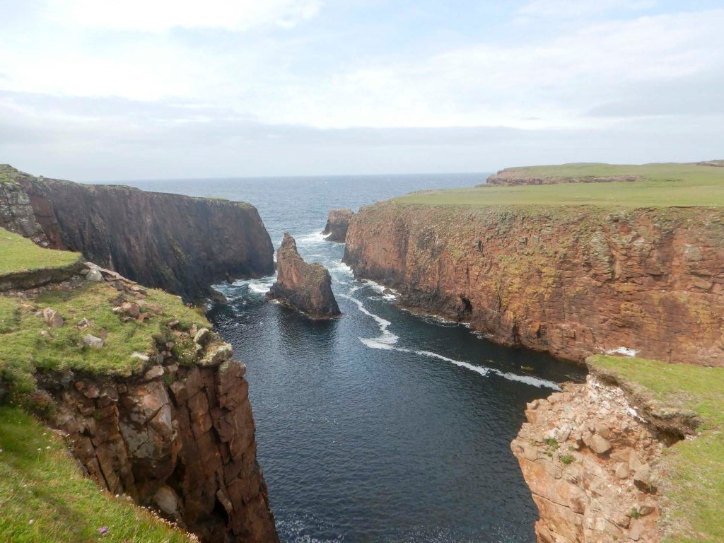
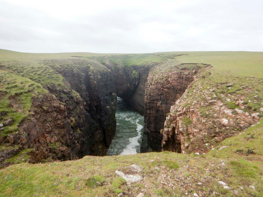
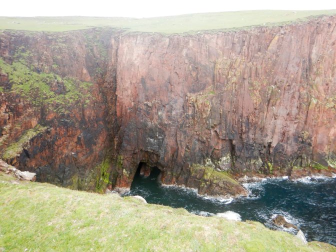
My route passed multiple intricate, convoluted geos – an Old Norse term meaning an inlet, a gully or a narrow and deep cleft in the face of a cliff and formed by wave-driven erosion along faults in the rock.
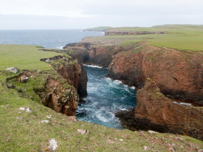
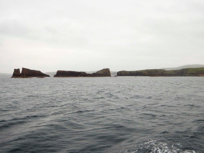
Multiple caves, arches and stacks have resulted from further erosion.
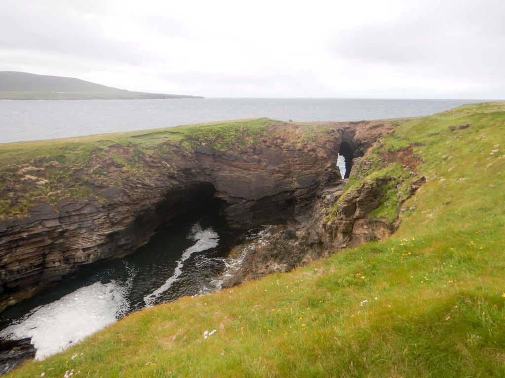
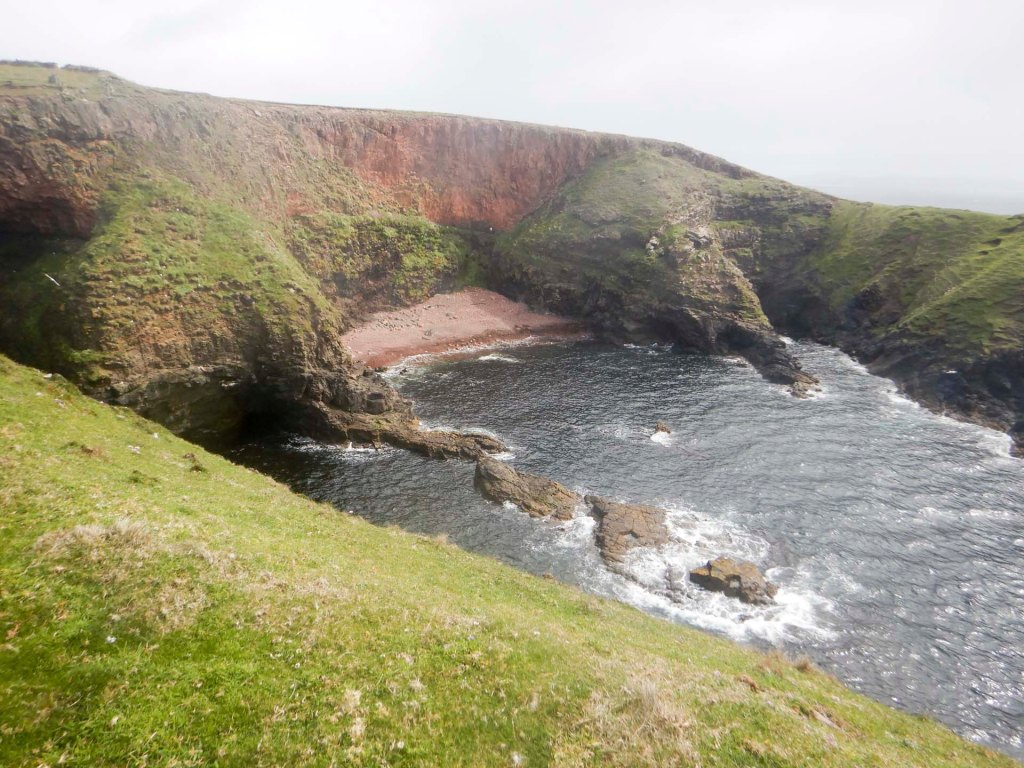
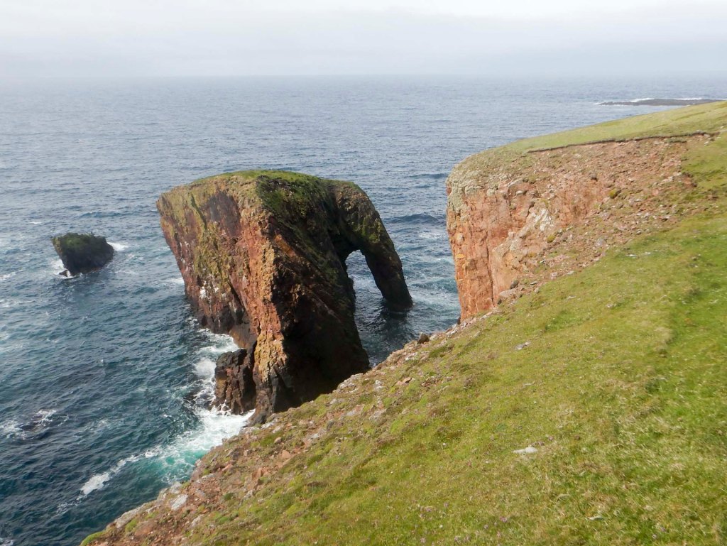
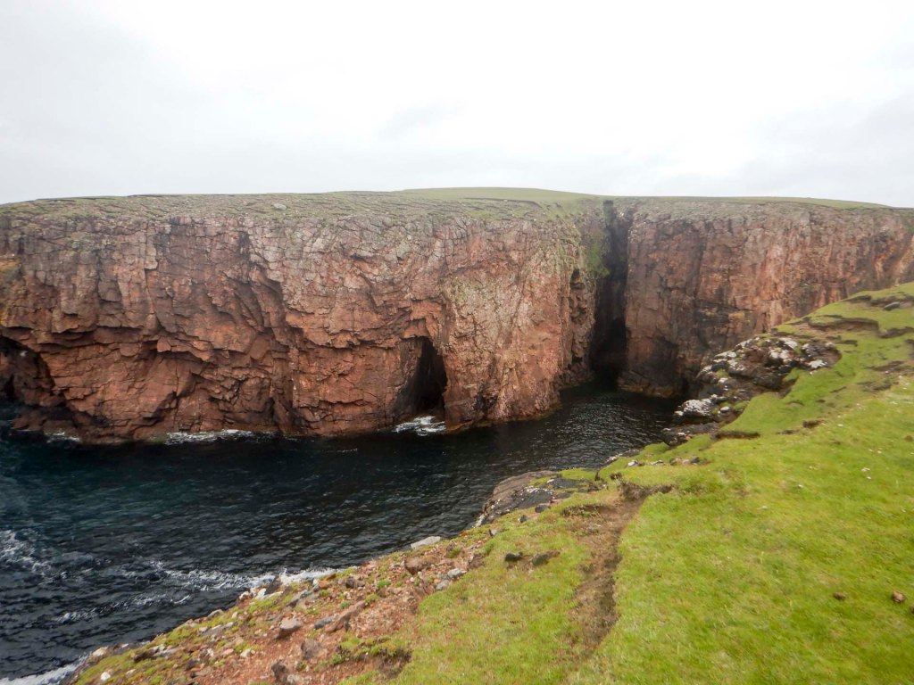
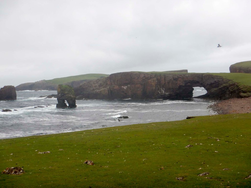
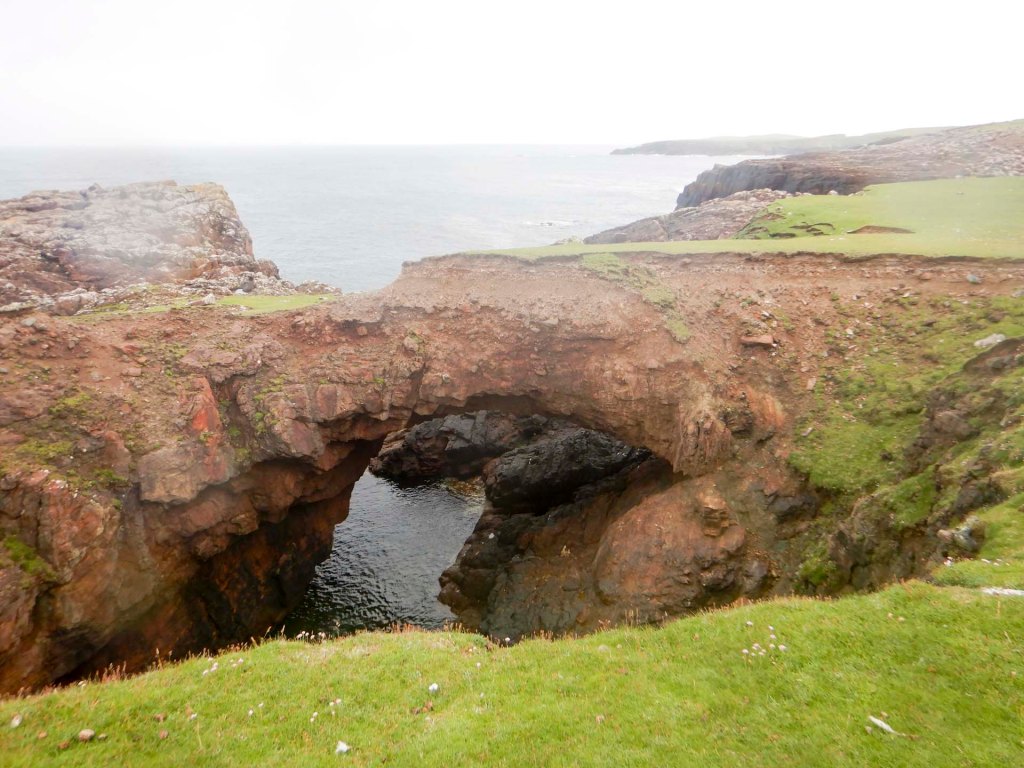
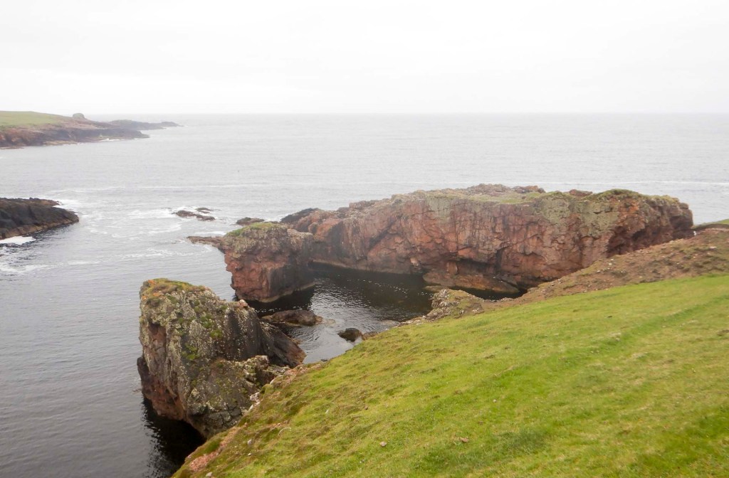
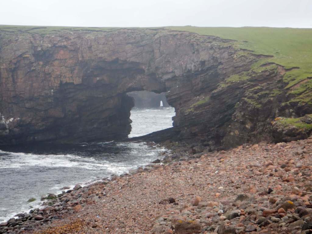
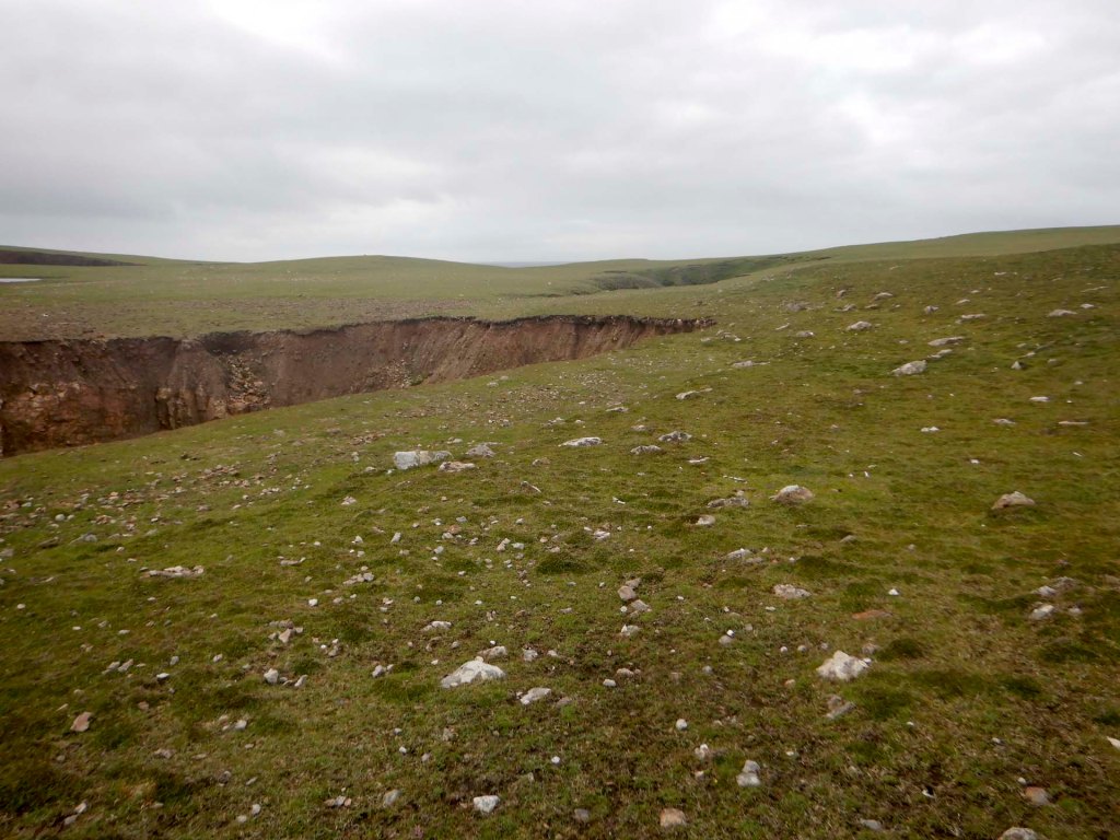
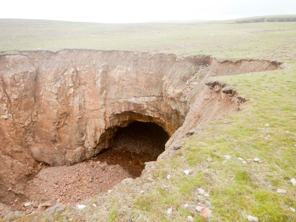
I saw the very impressive double Kirstan’s Hole and Christie’s Hole: a sea tunnel followed by a collapsed tunnel then a second tunnel with a further area of roof collapse plus another short tunnel extension after that. In certain conditions of tide and weather the areas of collapse can form dramatic blowholes.
Arctic terns nest on Papa Stour. I also spotted puffins on the sea, fulmars, black-backed gulls, shags, great skuas and very vociferous oyster-catchers. I met the couple from the ferry who had seen the less common Arctic skua but, despite them suggesting where to look, I didn’t see one. I saw seals on the rocks at low tide.
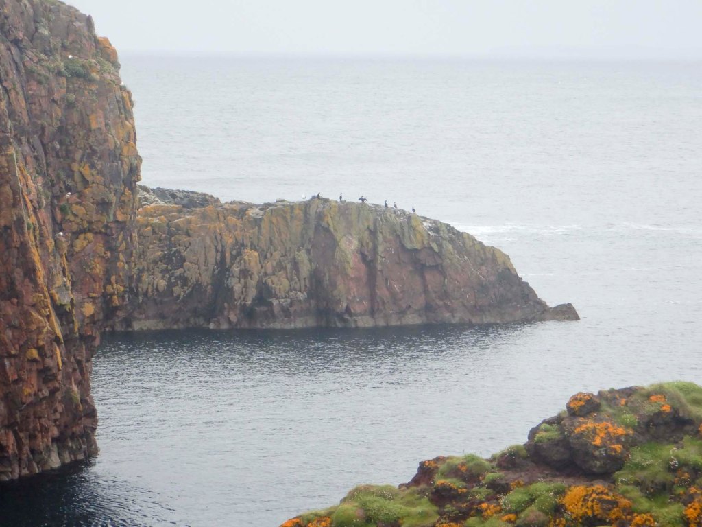
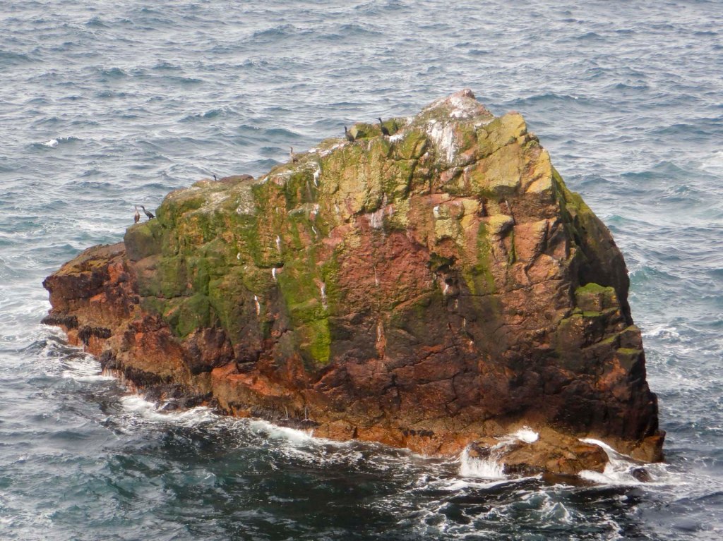
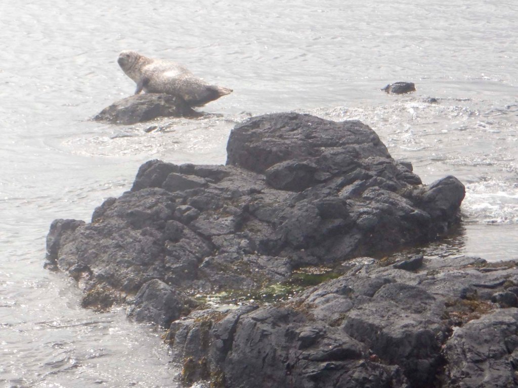
It’s an undulating walk over the moorland of the scattald or “common grazings” which is separated by a hill dyke from the smaller area of more fertile land on the east of the island where the residents live. In the past, turf and peat from the scattald was removed and used by the islanders to provide fertiliser and fuel. This has produced heathland with short wind-clipped vegetation growing on gravelly sub-soil.
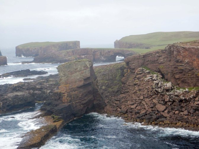
I climbed the hill to the trig point and cairn at 87m, from where I could see the island laid out below me.
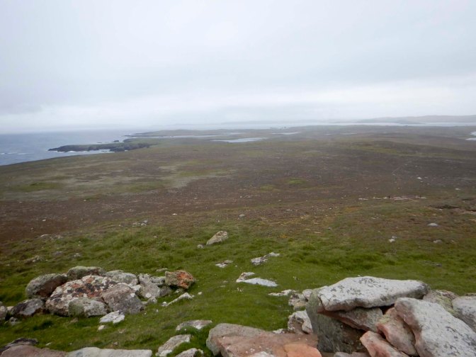
I returned to the coast and searched for an entrance to Hol o Bordie far below me. At 382m long, this is ranked as the eleventh longest known sea cave in the world. The tunnel cuts right the way through the north-west tip of Papa Stour.
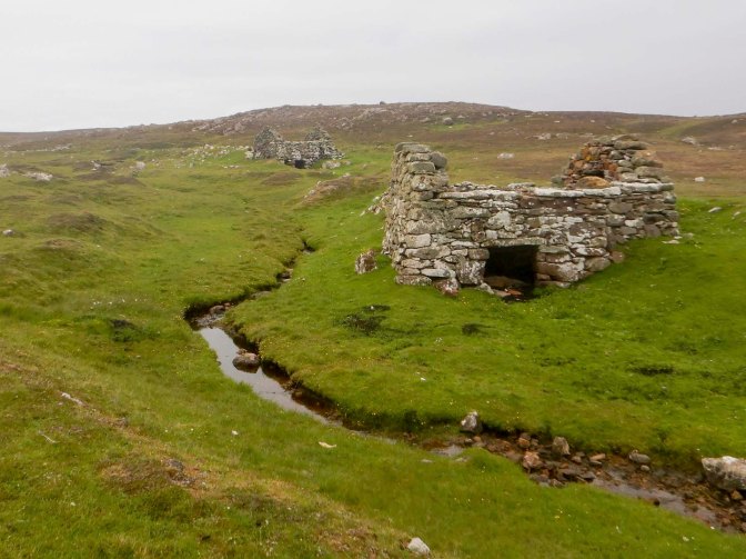
My return route was along the more sheltered coastline of Culla Voe and West Voe to the north. These were the sites of nineteenth century herring processing stations. I also saw a series of post-medieval water mills (also known as horizontal, or Norse mills) used in the past to grind grain.
Soon I was back at the road and tempted by coffee and Scottish tablet from the self-service café with honesty box at the ferry waiting room. I’d intended to walk an additional loop round North Ness but the Jehovah’s Witnesses arrived and we spent some time chatting about the island. The time disappeared and the ferry arrived early. The councillor and meteorologist arrived just in time (although they were actually booked on the later ferry).
Papa Stour is indeed a unique place and there is even more to see – I haven’t even mentioned the plethora of prehistoric archaeology including chambered cairns and burnt mounds, with evidence of settlement from Neolithic and Bronze Age times……

 Where's Kathryn?