30 June 2026
The confusing OS mapping in Shetland is even more complicated than explained in my previous post. Actually my walk on Yell appears on Landranger map 2, Shetland: Sullom Voe and Whalsay as well as on map 3, Shetland: North Mainland and yet only in part on map 1, Shetland: Yell, Unst and Fetlar – the map with Yell in the title. Hence this walk is to be assigned to map 2 as I have a different island planned for the map 3 adventure (even more confusingly on a different small island to be revealed in due course…).
I chose to visit Yell for a Shetland adventure as I feel it always gets left out. Visitors tend to take the ferry from mainland to south Yell then drive through Yell as quickly as possible to its north end in order to head to Unst on the ferry and reach the scenic and ornithological delights of Hermaness.
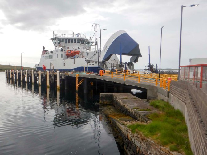
I decided to drive to Toft, having been fortunate to be offered use of the hire car for a second consecutive day, and leave the car at the ferry terminal before taking the ferry to Ulsta (south end of Yell) as a foot passenger. That’s where my walk began, along the quiet B road heading towards the east side of the island. There were views over the moorland and towards the sea at Hamna Voe.
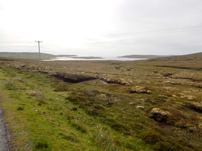
I left the road and took the track north up Arisdale.
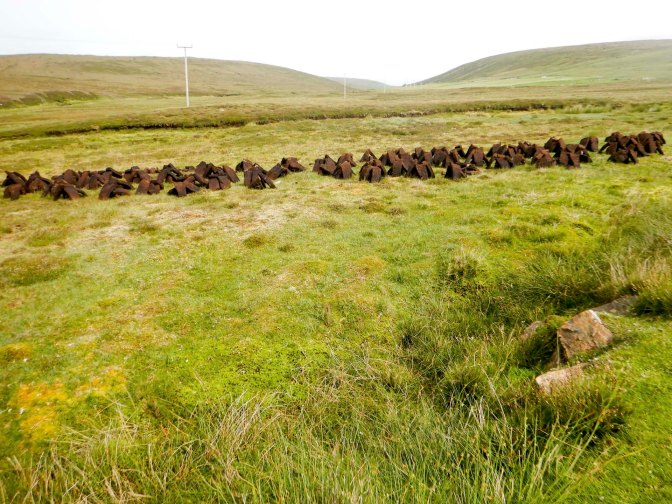
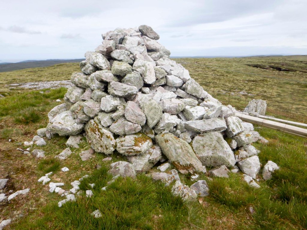
A sign indicated that the track also leads to the site of a crashed Catalina aircraft dating from 1942. When the path to the crash site deviated from my planned route, it was tempting to follow it. However, it would have added too much time and distance to my day so I turned right and was soon plodding uphill. There wasn’t any specific path so I made my way through heather and peat bogs to reach 210m above sea level at the cairn on the summit of Hill of Arisdale. This is the highest point on Yell and surrounded by a landscape of blanket blog. The views were good and even extended over to Fetlar, an inhabited island to the north east – also a wonderful place to explore.
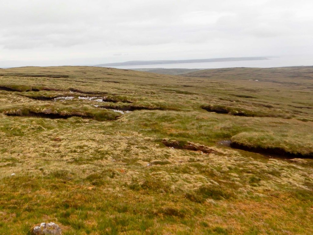
I could see the trig point at 205m on Ward of Otterswick – my next destination.
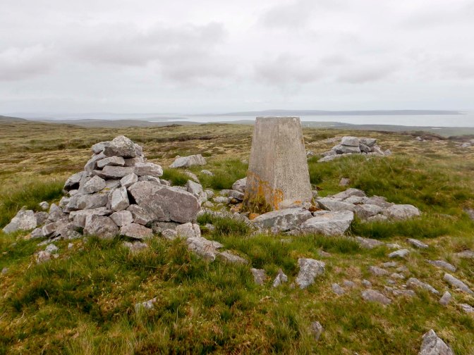
From the trig point, I had a long walk over boggy ground and multiple peat hags, to reach the B9081 north of the village of Burravoe. This is land inhabited by oyster catchers and bonxies (great skuas), so I had to keep my wits about me to avoid the risk of being dive bombed by these – especially the bonxies.
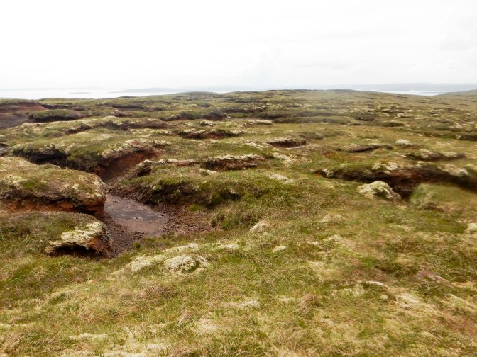
Eventually I reached the road unscathed. I had spotted a track on the map which I had hoped would provide a route to the east coast to see arches, stacks and geos. Unfortunately the way was barred with a barbed wire fence so I walked back to the road.
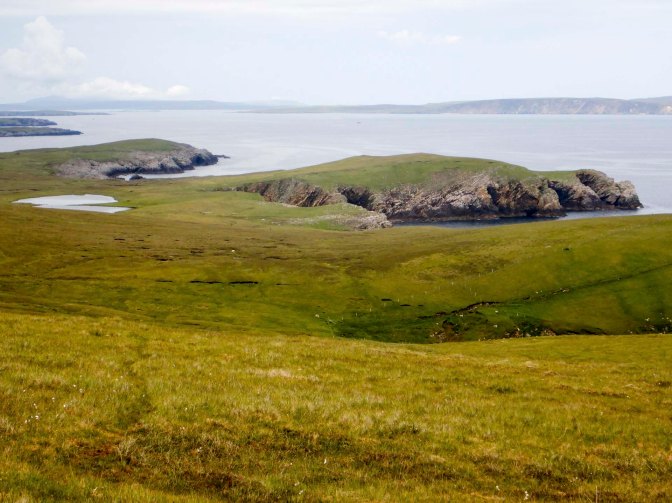
I was more fortunate with my second choice of route to the coast, passing a loch and eventually ending up on a high cliff with a startling array of coastal scenery carved out over many years by the force of water. This included the Stack of the Horse to the north and multiple sea caves.
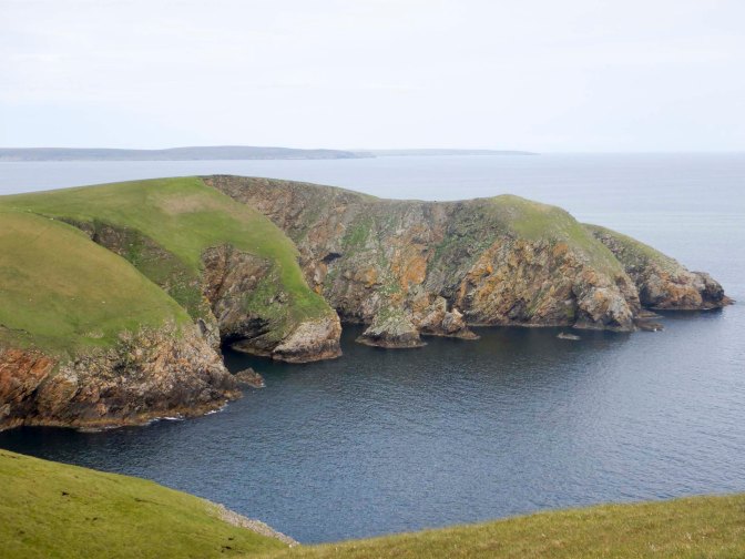
I descended from the cliffs and Heights of Ramnageo to a lower area, noticing multiple empty crab shells. Being the middle of the day, it wasn’t the best time for otter spotting.
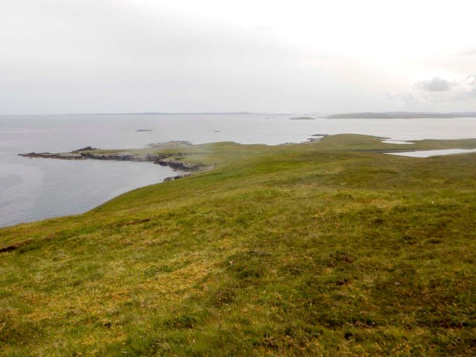
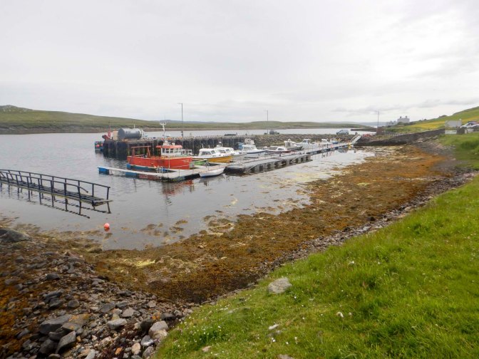
I walked round a couple of low headlands where there were multiple oyster catchers and Arctic terns and then turned to walk along the bank of Burra Voe. There were many boats by a pier and a pleasant camper van and tent campsite nearby.
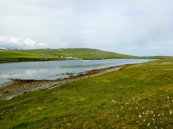
I had a long walk back along the B9081 to return to the ferry. However it’s scenic and not a busy road. It’s also very friendly – the majority of the drivers slowed down and waved as they passed.
Yell certainly has more to offer than as a stepping stone from mainland Shetland to Unst – it has areas of beautiful coastline and the possibility of stunning views from high points in the admittedly bleak and boggy interior. I had enjoyed my day!


