29 April – 2 June 2026
Actually I downloaded over 2,500 snapshots when I arrived home! However, a five week visit was really only sufficient to scratch the surface in terms of visiting this huge country – second only to Russia in total land and water area, although with a population of only 42.1 million (compared with UK population 70.1 million). Our plan was to travel over land from Toronto, Canada’s largest city sited on the north west shore of Lake Ontario, to Vancouver, on the west coast, crossing four of Canada’s six time zones. It’s over 2,000 miles on the most direct train journey but on our journey it was over 3,200 miles (excluding our return branch trip between Jasper and Banff). This is indeed a large and diverse country.
29 April – 3 May – Toronto
We were relieved to be met at the airport and transported by taxi to downtown Toronto along confusing multi-lane motorways through a landscape of light industry units, warehouses and out of town shopping centres. Approaching downtown, the low level buildings changed to gigantically high tower blocks and I was calculating some at over sixty floors tall. Downtown was bustling with commuters thronging the sidewalks as they made their way home at the end of the working day. Our hotel had twenty seven floors above the ground and we were on the twenty-sixth floor with views over the financial district and of the CN (Canadian National) Tower.
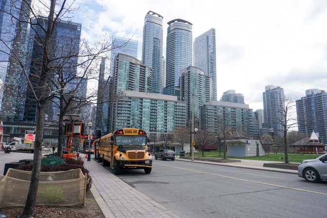
We ventured out on foot the following morning, quickly learning that a “white man” was the signal to cross the street whilst a “red hand” was the wait signal. The flashing red hand was a countdown of the seconds remaining to cross – I clearly underestimated my speed and felt the need to speed up once the “hand” was showing. At junctions without signals, traffic stopped as it turned to allow us to cross – this was difficult for us to understand and trust as it’s not what usually happens in UK, despite the recent changes in the Highway Code.
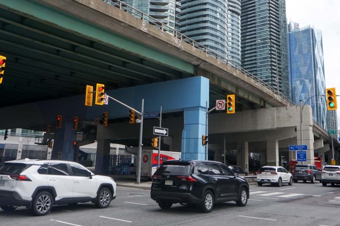
Unfortunately, just as at home, street homeless people were evident and were favouring sleeping positions close to warm air vents. Many appeared to be indigenous people; we spotted some uniformed community support officers. There was a distinct smell of cannabis in many places – in fact cannabis is legal in Canada and cannabis shops abound but it’s necessary to be over 18 or 19, depending on the state laws, to purchase.
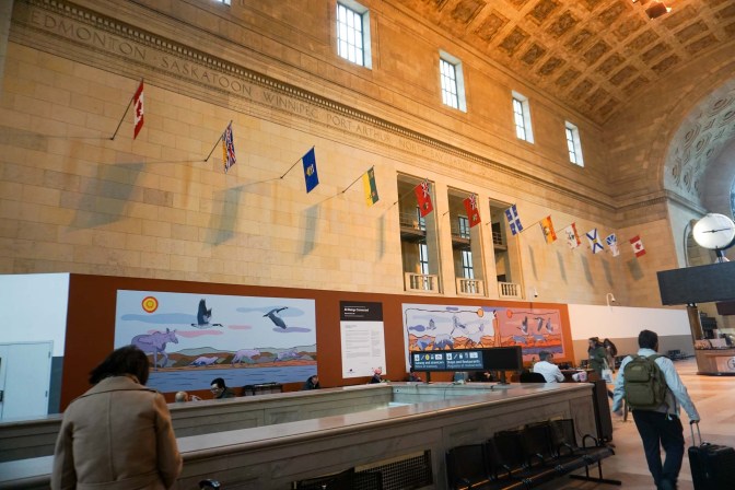
We stopped at the Great Hall of the Union Station to investigate the arrangements for the next leg of our journey in a few days time.
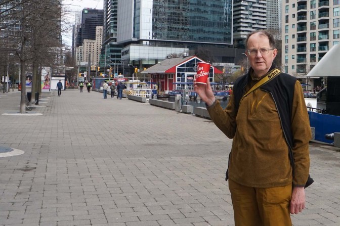
We investigated Tim Horton’s, now an iconic Canadian brand with 3,570 cafes in the country plus expanding overseas. Tim Horton played in the National Hockey League from 1949 until his death in a car crash in 1974.
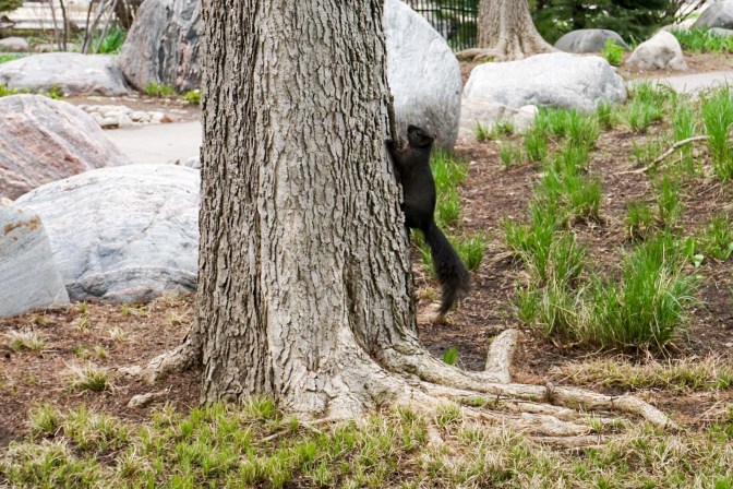
On the lakeshore trail, we saw the ferries on Lake Ontario to travel to the nearby islands. The abundant public gardens were a morass of tulips and daffodils but the fauna included less familiar sights – downy woodpeckers, American robins and red-winged blackbirds as well as black squirrels.
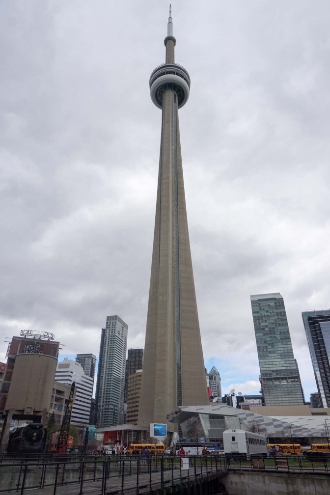
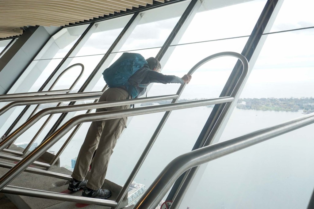
We visited the CN Tower ascending on a lift with a glass front overlooking the lake. The Canadian National Railway Company built the tower. At 553.3 metres, it was the world’s tallest free-standing structure for 32 years, from 1975 until 2007, when it was surpassed by the Burj Khalifa, and the world’s tallest tower until 2009 when it was surpassed by the Canton Tower. Nowadays it’s the tenth-tallest free-standing structure in the world and still the tallest free-standing structure on land in North America, the Western Hemisphere, and the entire Western world. In 1995, the CN Tower was declared one of the modern Seven Wonders of the World by the American Society of Civil Engineers.
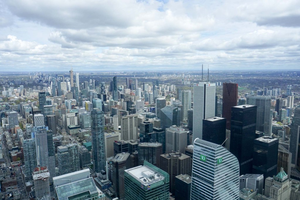
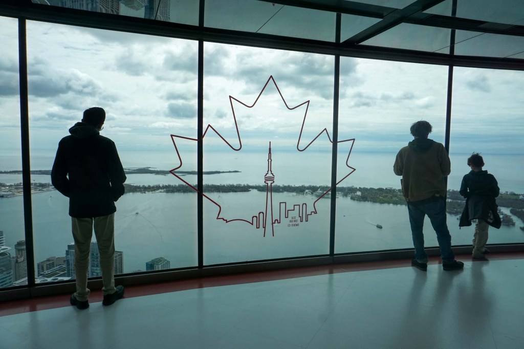
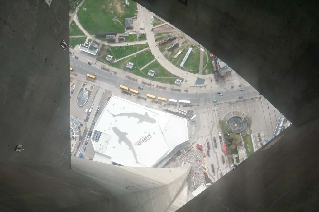
We reached the Main Observation Level 346m (114 storeys) above ground and also visited the area with glass floor one floor below. The Top Level is 33 storeys higher but apparently the view is no better so we didn’t pay the additional fee for this and neither did we attempt the daring Edge walk.
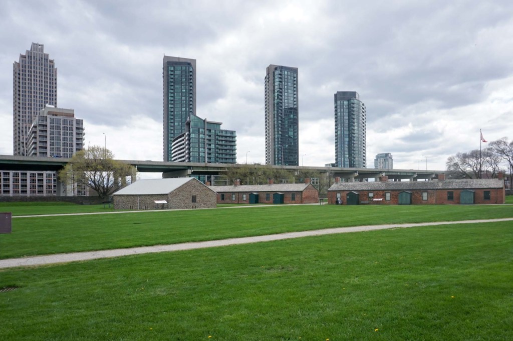
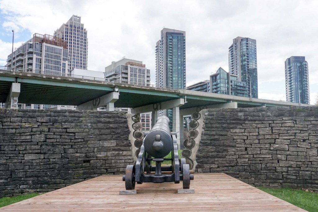
The York Fort historic area which we visited later was significant in border defence during the 1812-13 war. However for thousands of years before that it was home to many Indigenous peoples. More recently the area was threatened by the building of a motorway through the site but fortunately its historic importance was acknowledged and the proposed road diverted. It was surprisingly quiet and empty. There are even warnings of coyotes despite the proximity to the city centre.
Our final port of call before returning to our hotel was the Power Plant Modern Art Gallery. The building originally housed the heating and refrigeration equipment for the massive Toronto Terminal Warehouse. The interactive exhibition included a large pencil drawing of a glacier which visitors were encouraged to rub out a small area to signify melting with global warming.
Our second day was spent catching a ferry to the car-free Toronto Islands and walking the length of the chain of bridged islands from west to east.
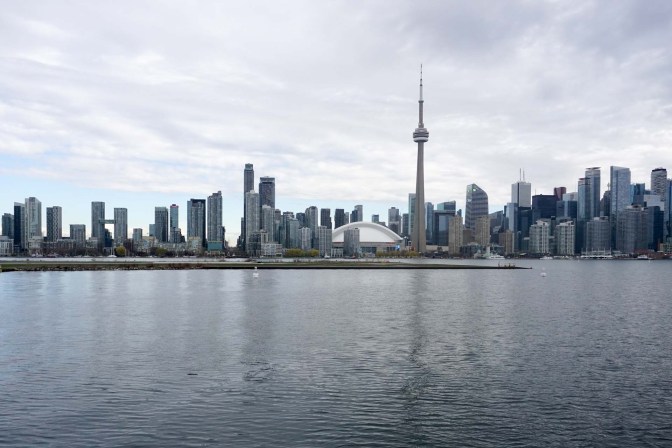
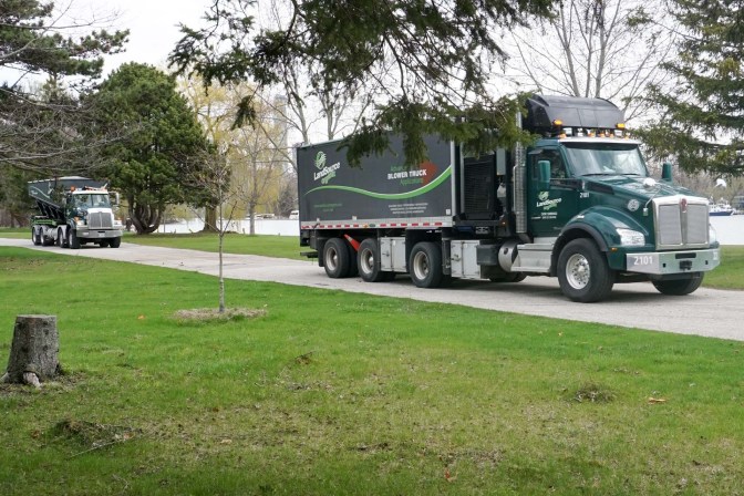
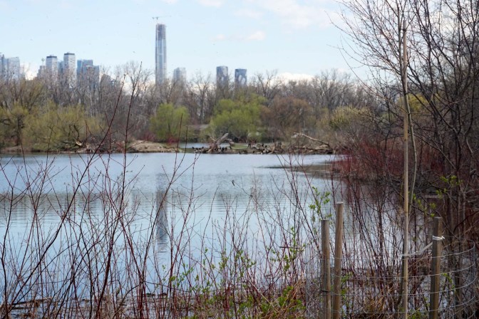
The environment on the islands contrasts markedly with the frenetic atmosphere of downtown Toronto only 2km across the water; only a handful of passengers alighted at Hanlan Point.
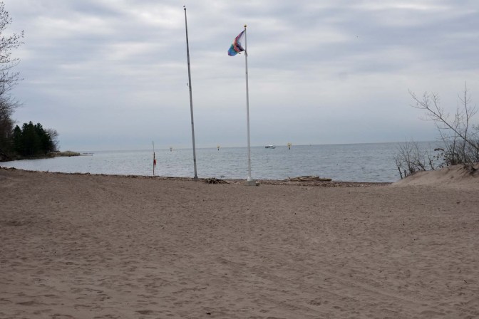
We soon reached the first / oldest designated queer-friendly place in Canada and the tenth oldest in the World. Wearing clothes on the beach is optional – but in the cool breezy weather everyone was warmly clothed.
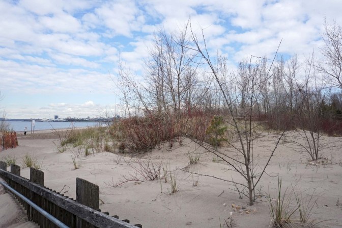
We negotiated paths in the dune ecosystem.
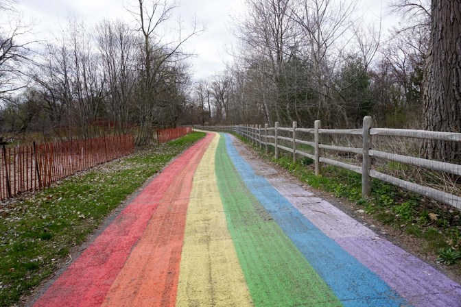
We strolled along the longest rainbow walk in the World (600m).
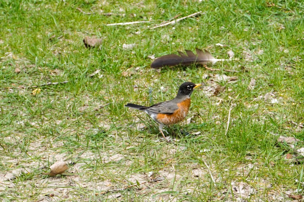
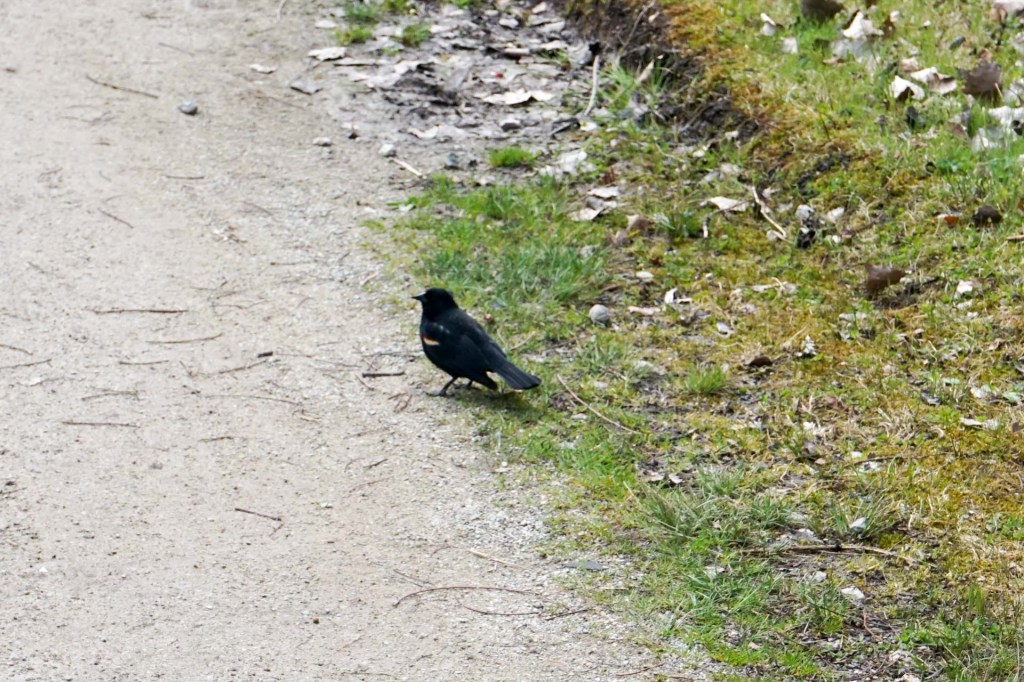
There were many birds including American robins, red-winged blackbirds, cormorants, mallards and Canada geese.
A designated artists’ area provided affordable studio space in a rather Bohemian looking area.
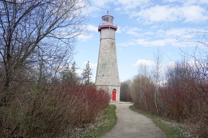
We passed the Gibraltar Point lighthouse.
The island water treatment plan is for all of Toronto, producing up to 410 million litres of drinking water daily (around 20% of the total water supply).
The Island Public and National Science School is a day school for island residents up to grade 6 and a residential school for grade 5-6 children visiting for a few days annually from mainland Toronto.
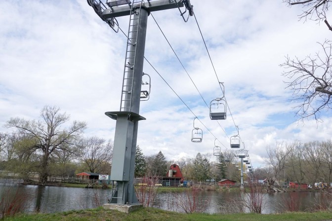
The amusements area on Centre Island was largely closed as it was a weekday just outside the main tourist season, although the area here was still much busier than the remainder of the island.
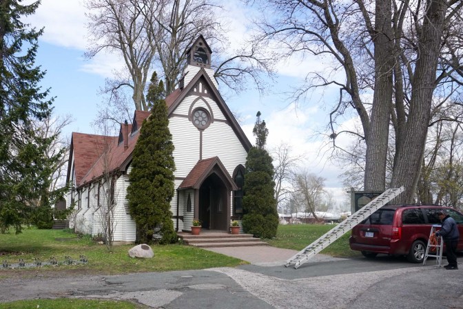
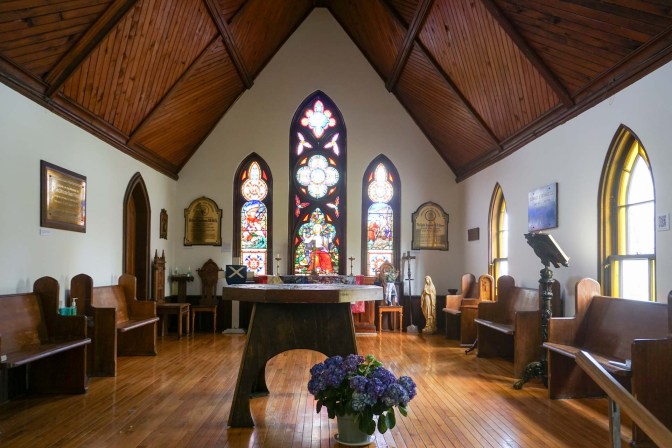
The Anglican Church of St Andrew is normally closed but when we visited the churchwarden was meeting the roofer so we were able to visit and view the impressive stained glass windows. The regular congregation is only 12-15 but I was told that the whole community is supportive when funding is required. The current incumbent is considering possible future use as a retreat centre to try to promote future sustainability of the church.
We followed a coastal board walk to reach the village on the far east of the islands. Around 750 people live in 260 houses and a couple of cafes were open to serve the small number of tourists.
Our final day based in Toronto started with a fire alarm (the intermittent signal meant “be prepared for evacuation”) just after breakfast when we were in our 26th floor room preparing our rucksacks ready for our booked coach trip. We grabbed our day bags and began a long walk down 26 floors then heard an announcement that it was just those on floors 14 and 15 who needed to leave. We decided to keep going down as there weren’t many other people, we had what we needed for the day and it seemed sensible not to avoid the potential of getting stuck on the 26th floor. There was a fire appliance outside the main hotel entrance but it departed and we gathered that it had been a false alarm so the building was deemed safe.
Our tour bus (Toronto Bus Company) picked us up before time along with a few other passengers. A further hotel pick-up was more protracted with several latecomers before we were en-route to Niagara Falls with commentary from our tour guide, Jason. We passed various sights including Union Station, the Toronto Blue Jays baseball ground, parts of Lake Ontario, waterways connecting to the lake, a large steelworks, long distance views of Toronto across the lake and areas of vine and fruit growing. The commentary was delivered in a relaxed style but we picked up various inaccuracies and political points which may have been offensive to some of the tour participants. However viewing the falls themselves and witnessing the immense power of the falls as well as the turbulent water was something we wouldn’t have wanted to omit from our itinerary.
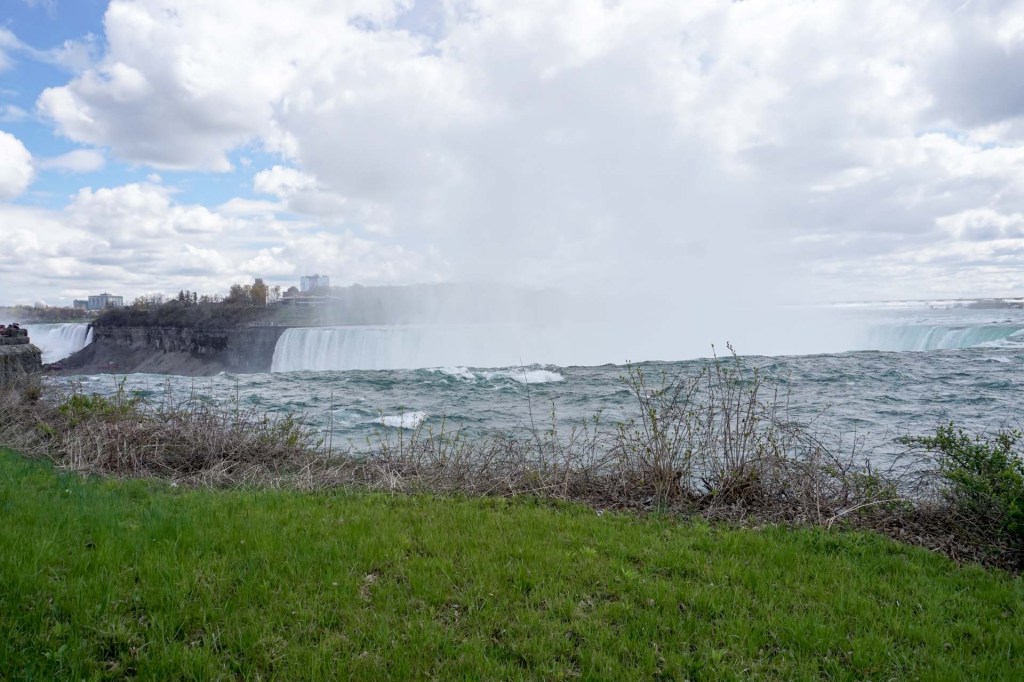
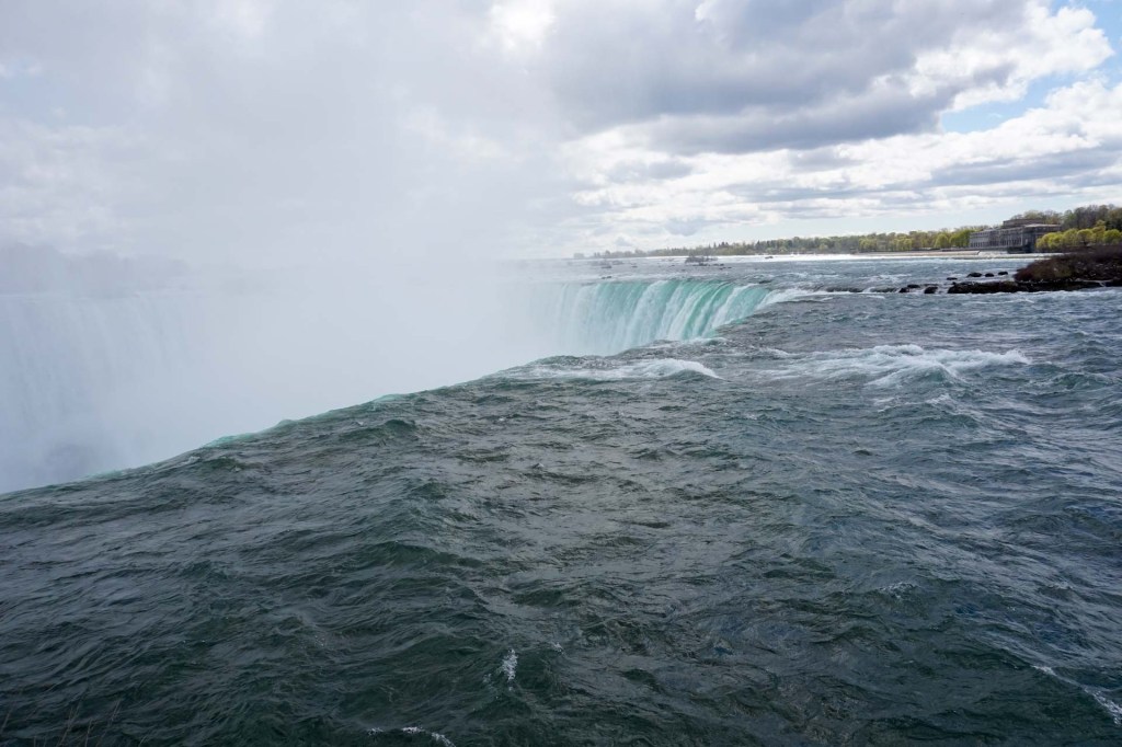
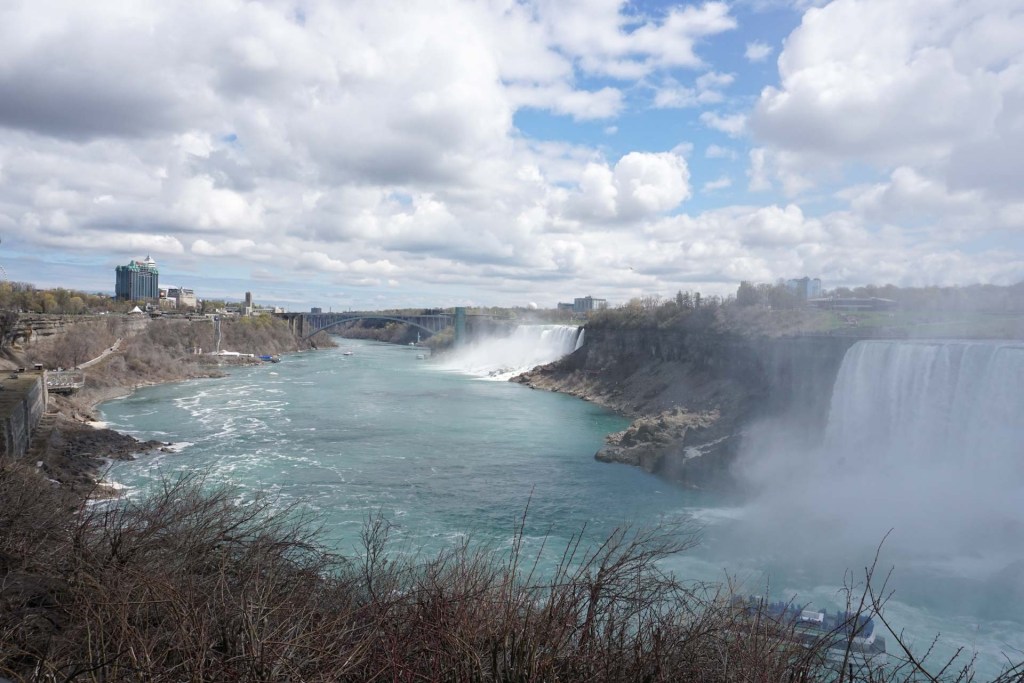
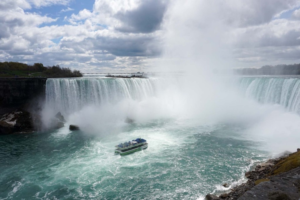
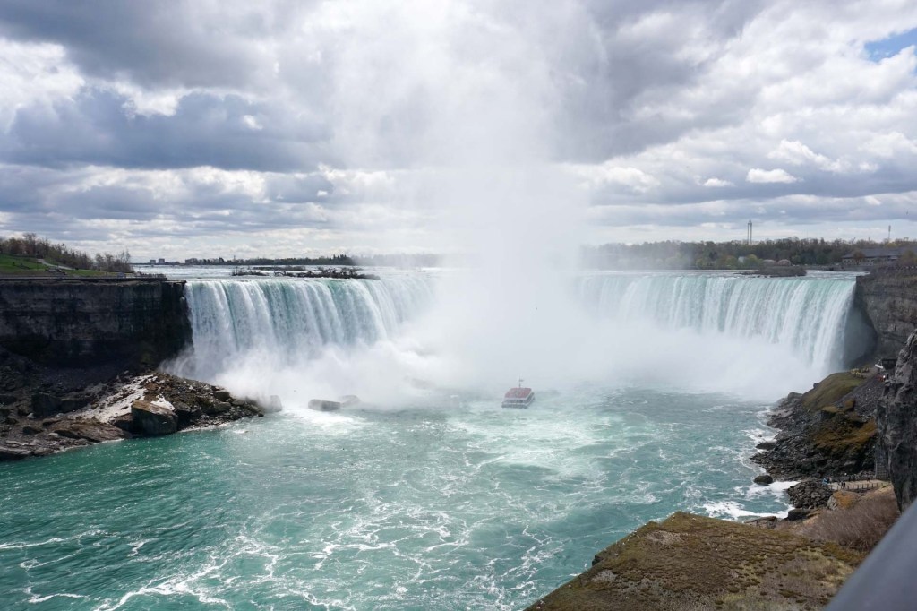
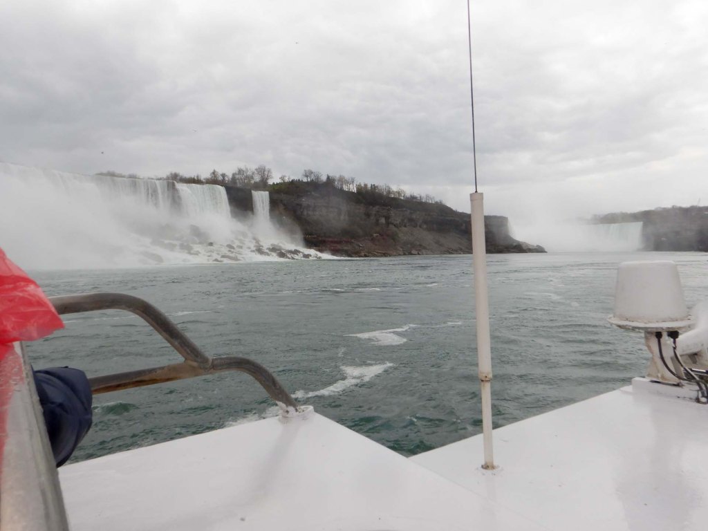
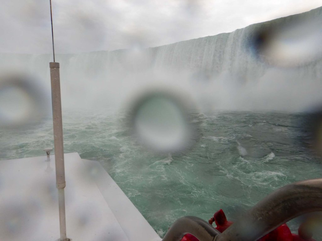
We were also able to experience this in closer proximity to both the US and Canadian sections by riding in a boat travelling near to the base of the falls. It was a wet and noisy experience!
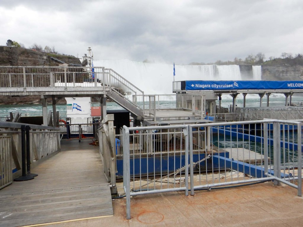
Somehow one member of the group had disappeared. Was it because he was unhappy about the politics of the tour guide or was he unwell? We didn’t find out but we know that both the tour guide and the tour company office tried to make contact without success. This delayed things and sadly we were late travelling through the gorge and unable to make the planned stops.
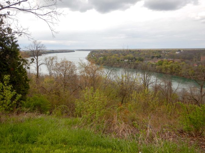
We arrived at the booked wine tasting session late and had missed our slot so had to wait as it was busy. Suggestions were made that we should omit the experience but most of the group were keen to stay – after all we had paid for it! Eventually we tasted a white wine and two different ice wines. Ice wines are a local speciality produced by leaving the grapes on the vine until over-ripe then picking them while naturally frozen, typically at temperatures below -8 degrees Centigrade. This produces a premium and expensive dessert wine, which was definitely worth tasting.
We travelled on, reaching Fort George, a military post which like Fort York, where we had visited two days earlier, defended Upper Canada against American attacks during the 1812-13 war. Of course there was no time to leave the coach.
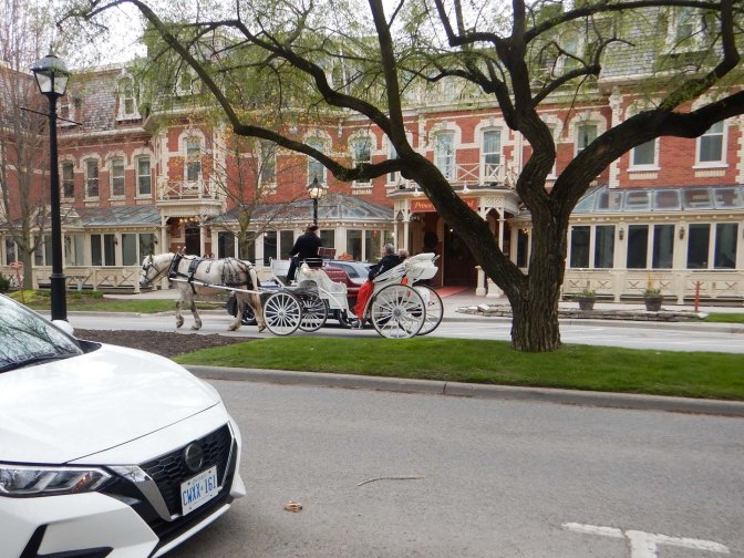
We continued and stopped at the picturesque town of Niagara-on-the-Lake, often described as the prettiest town in Ontario. It features a well-preserved 19th-century Heritage District with multiple independent shops, antique stores, and horse-drawn carriages. There was time for the most active participants on the tour (us!) to rush from the coach park to the town for a very short foray, but sadly not for the less able people who remained close to the coach.
We returned to Toronto on the motorway to prepare for an early start the next day to reach Union Station ready for the next stage of our journey across Canada.
3 May – 4 May – Toronto to Winnipeg – The Canadian
We left the hotel earlier than necessary as it was the day for the Toronto Marathon and Half Marathon and resulting closure of various streets in central Toronto.
We were travelling on “The Canadian”, a passenger train that leaves Toronto twice weekly to make a long and slow journey all the way to Vancouver. It’s turned into a tourist experience for most although remaining an important means of transport for some of the remote communities close to the railway line but far from other civilisation. There are 65 possible station stops on the entire service between Toronto and Vancouver but 55 of these are request stops only. It’s definitely not the quickest way to make the journey as amazingly long freight trains which frequently measure over 3km in length take priority on the tracks.
The carriage with our cabin was named Lorne Manor after the Marquis of Lorne, Governor general of Canada 1878-83.
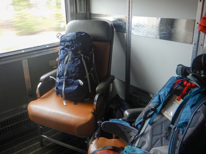
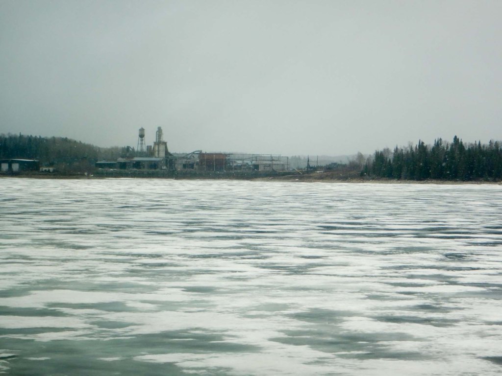
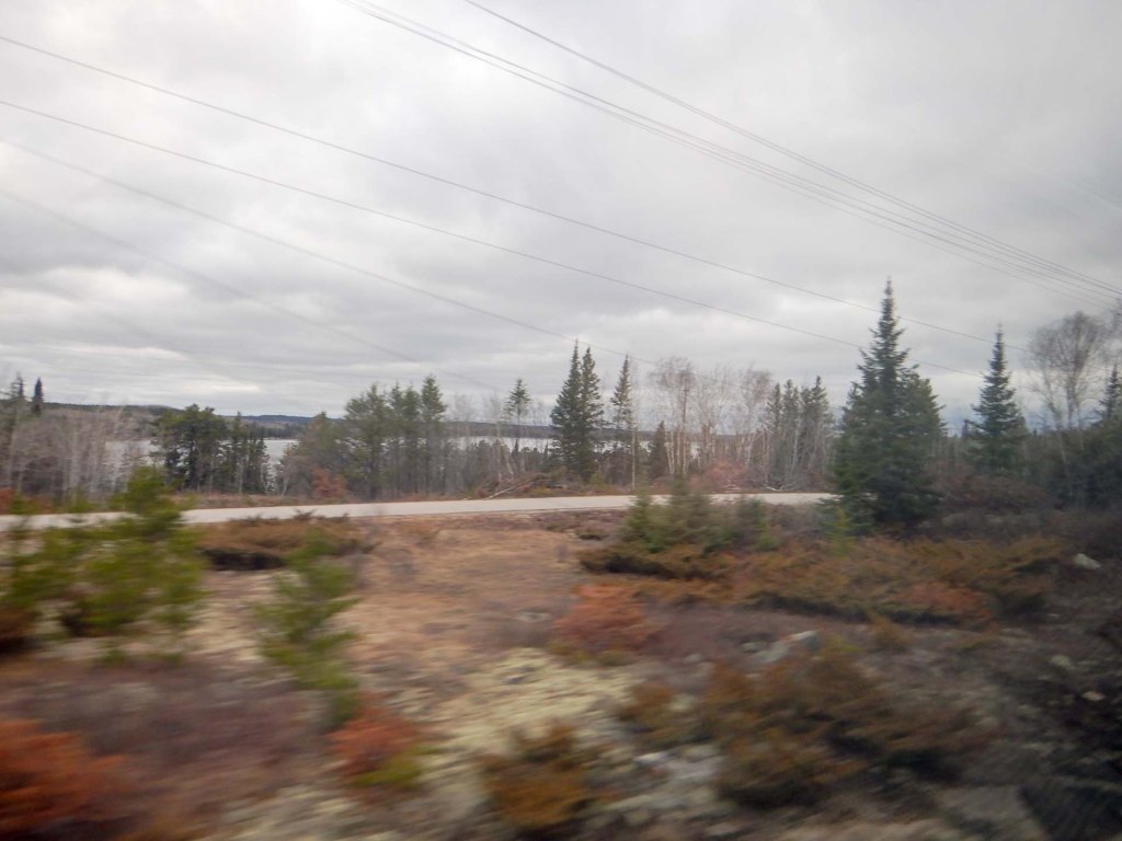
Eventually we were in our compartment and leaving Toronto past the massive skyscrapers and soon saw wide footpaths where there were thousands of runners participating in the marathon and half marathon. The urban area gave way to lakes and huge areas of birch and fir forest with many rocky outcrops. There were less and less signs of human habitation; just occasional camping areas, unsealed roads and small townships.
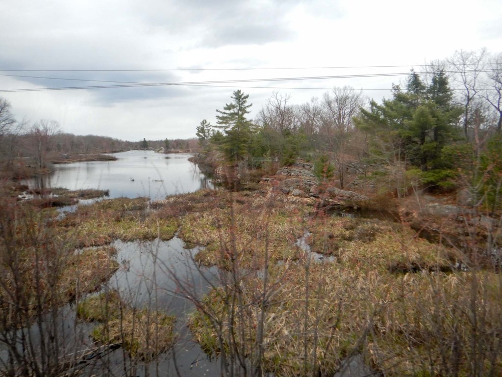
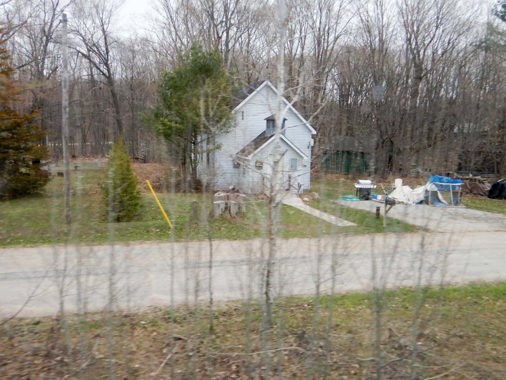
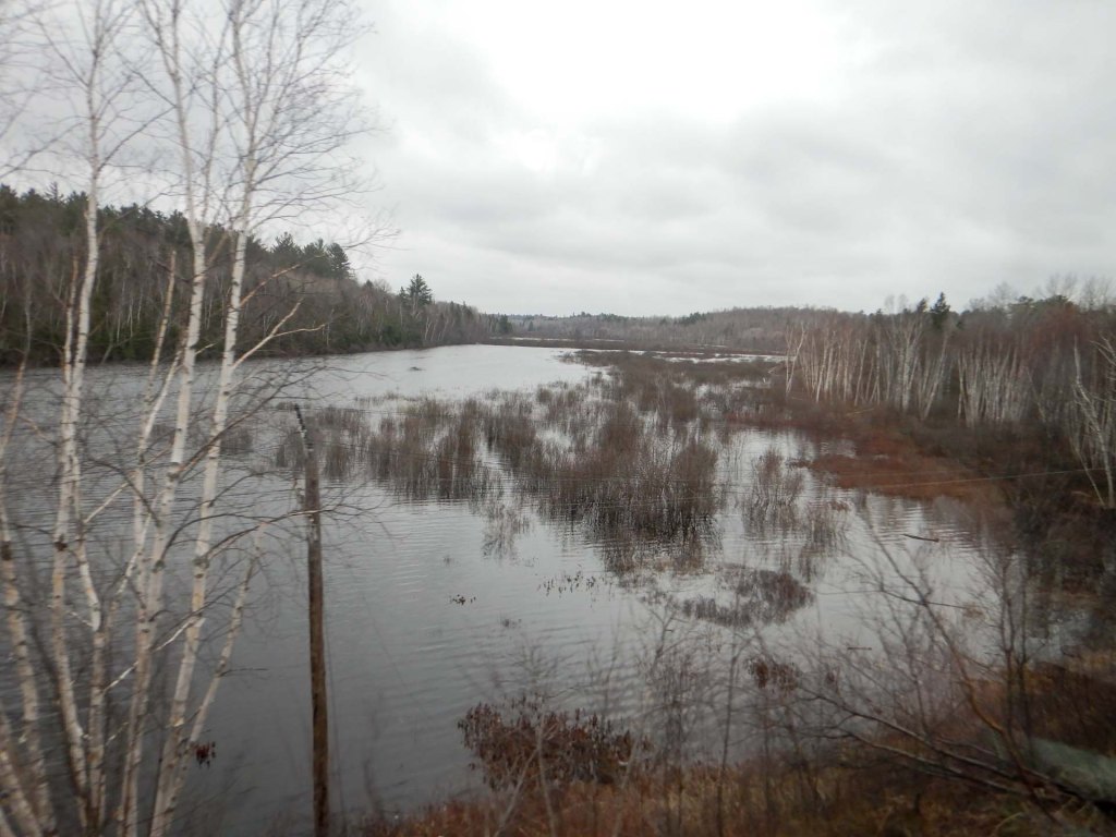
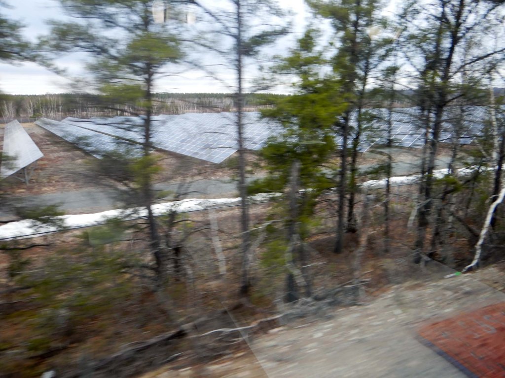
We reached the Canadian Shield, a colossal landform, representing one of the largest continuous regions of exposed ancient rock on the planet. This immense geological feature dominates eastern and central North America, covering over half of Canada’s landmass. Some of the oldest known rocks on Earth, dating back as far as 4.28 billion years, are found within its ancient formation. The dome carriage provided an excellent viewpoint although we could also get good views from our own compartment and from the lounge and cafeteria areas.
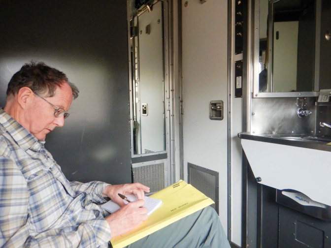
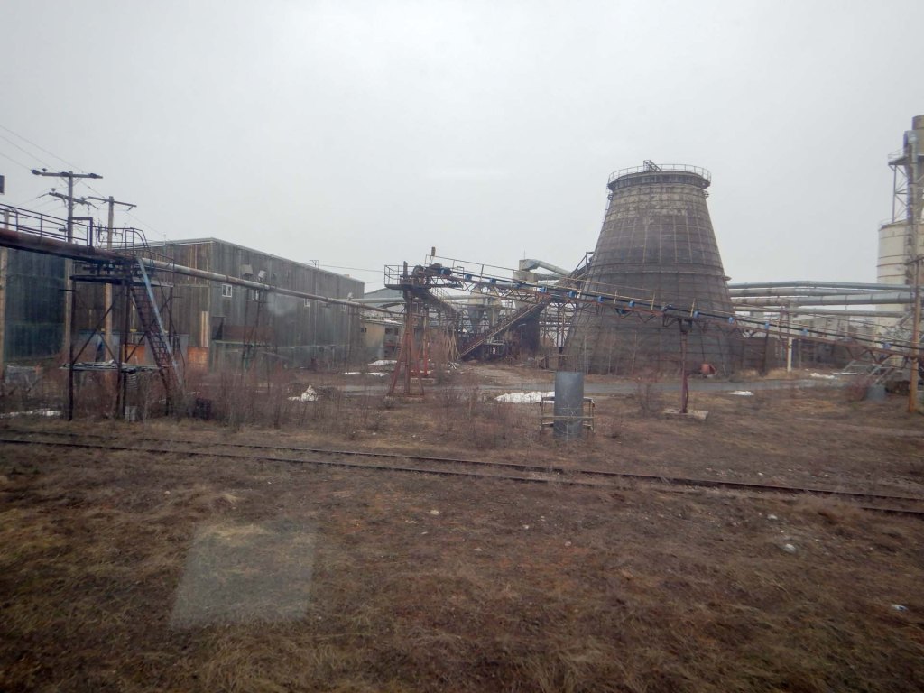
We passed pulp and plywood mills as well as industrial mining areas then eventually stopped at Capreol where we were allowed to disembark on to the platform as the train refuelled. The train is made up of stainless steel carriages dating from the 1950s and is around 500m in total length. I walked the entire length and back.
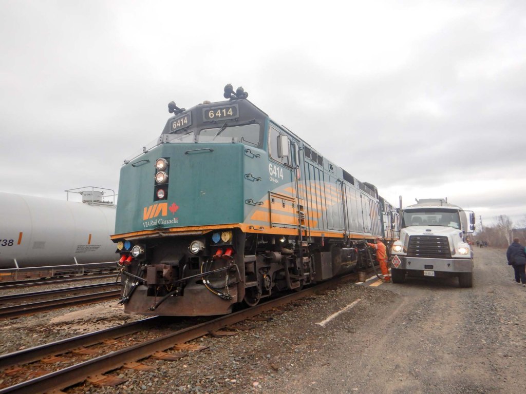
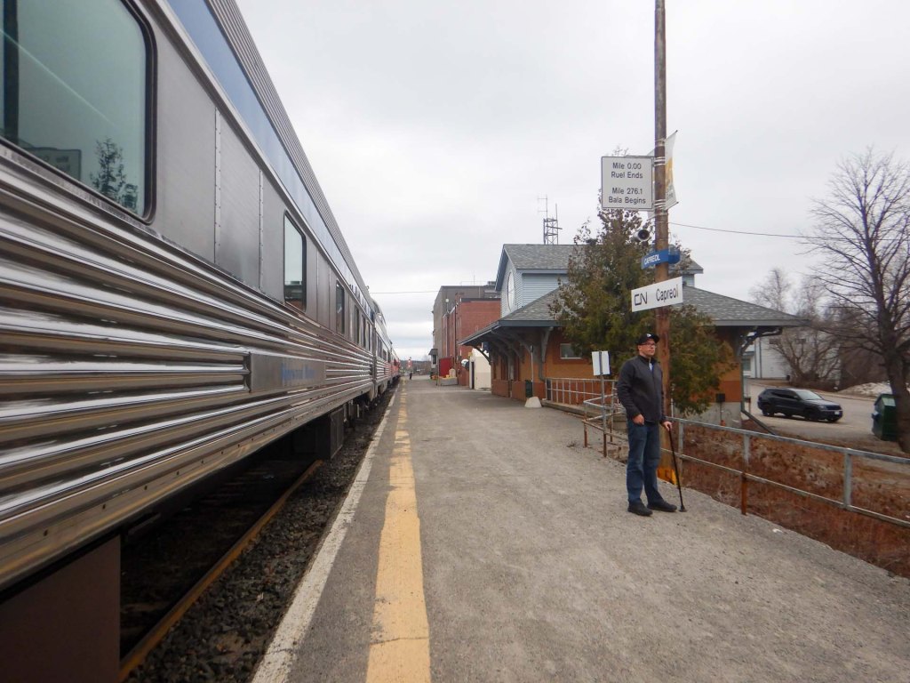
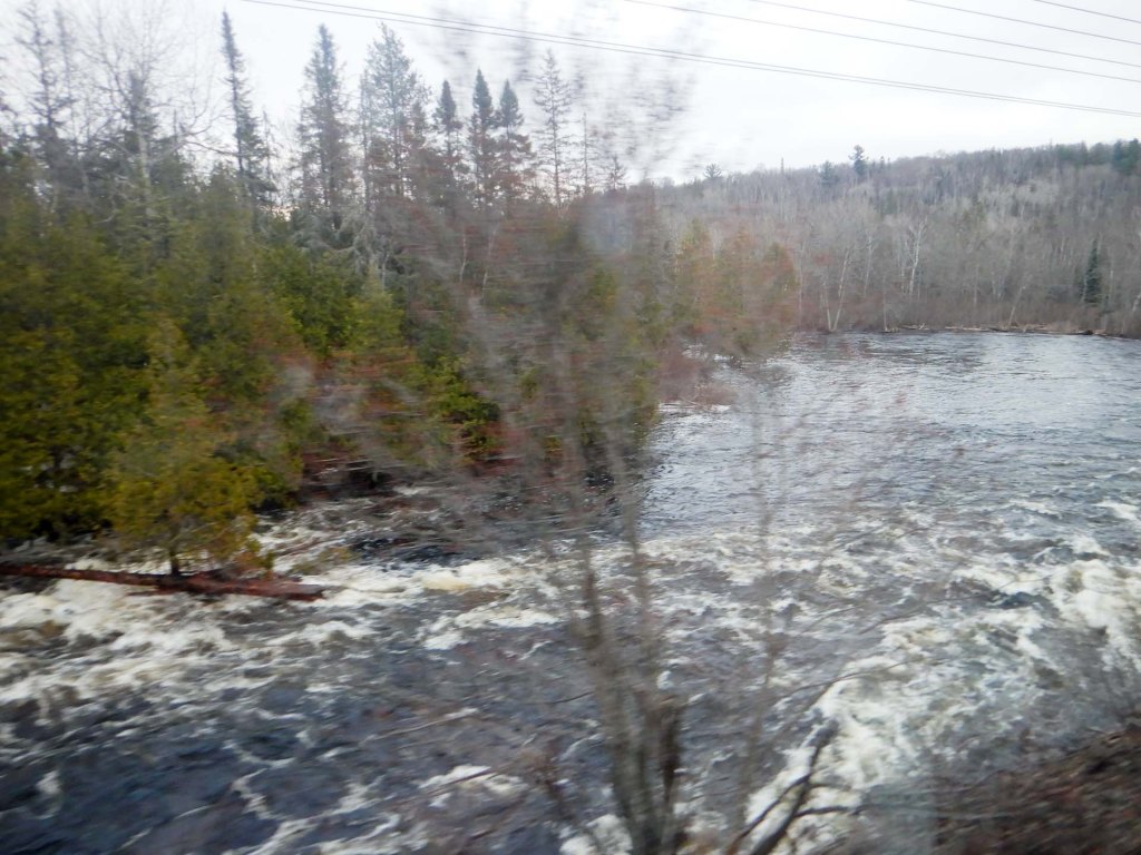
Ontario is larger than France and Spain combined but only 2% of the population live outside the Great Lakes area – no wonder there is so much remote and wild space. The proportion covered by fresh water is immense – there are over 240,000 lakes. As we continued there was ice on some of the lakes and increasing snow over the land. I thought I saw a couple of eagles.
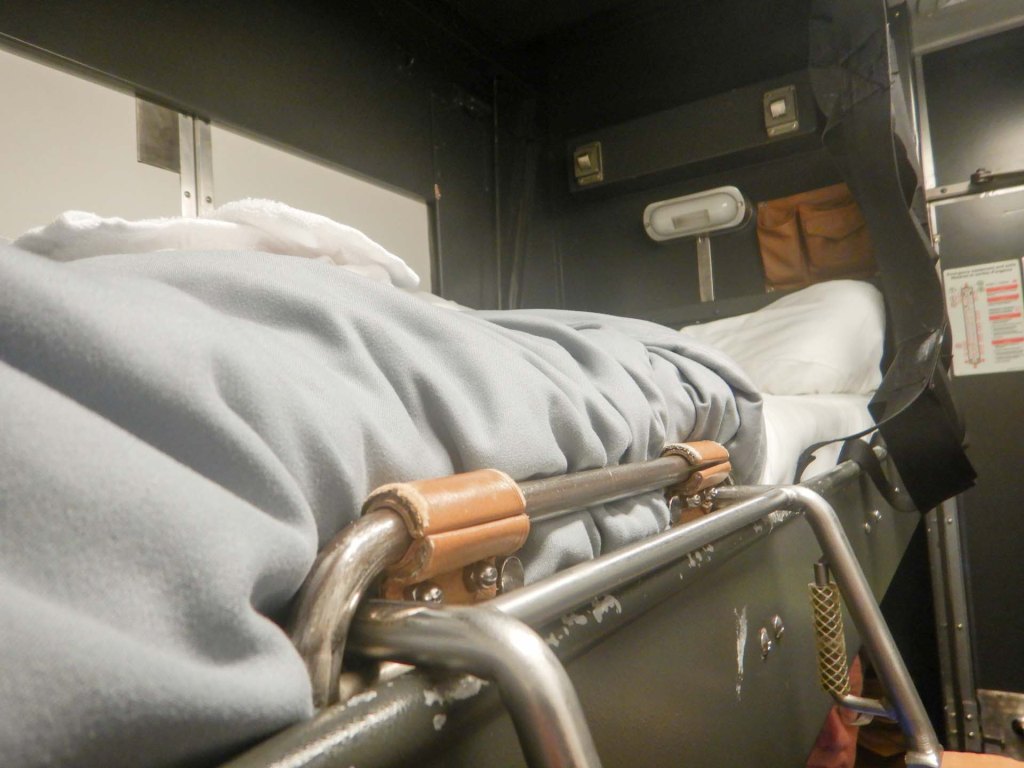
There was lots of food – really rather too much as there wasn’t much opportunity to exercise. Lunch and dinner were both three courses and there was a cooked breakfast available. The comfortable seats in our cabin were converted to bunk beds for the night. I was pleased to see that a mesh reduced the risk of me falling out of the top bunk overnight. Climbing up was easy but the descent to floor level in the morning was more tricky until I had done it a few times.
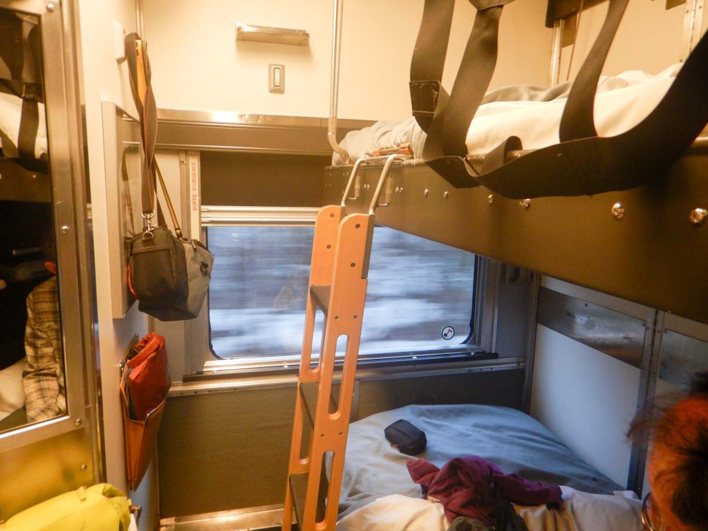
By morning the scenery was similar with further lakes and forests. However there was a lot more lying snow. All the settlements seemed small and isolated – fishing, hunting, mining and forestry appeared to be the main activities. We felt that we were getting more and more behind the published timetable but there wasn’t any official news. I joined in (unsuccessfully) with bingo organised by the team member who was looking after our area of the train.
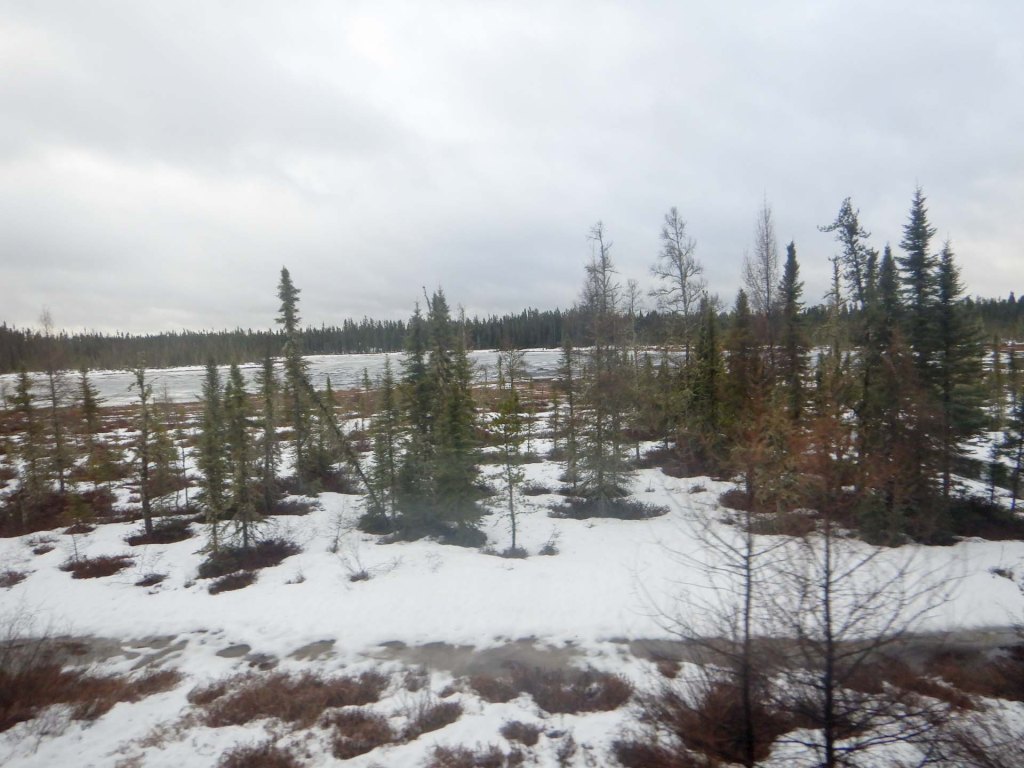
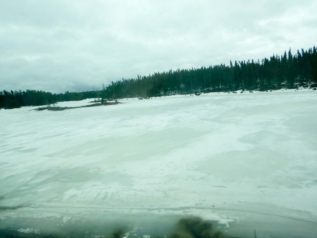
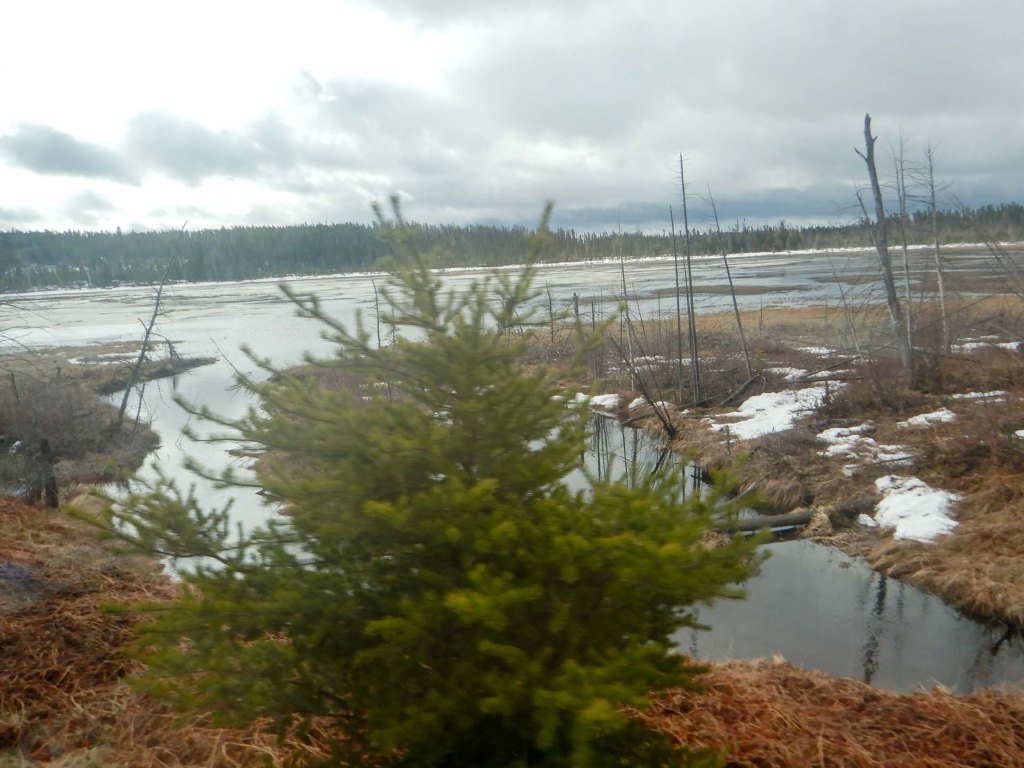
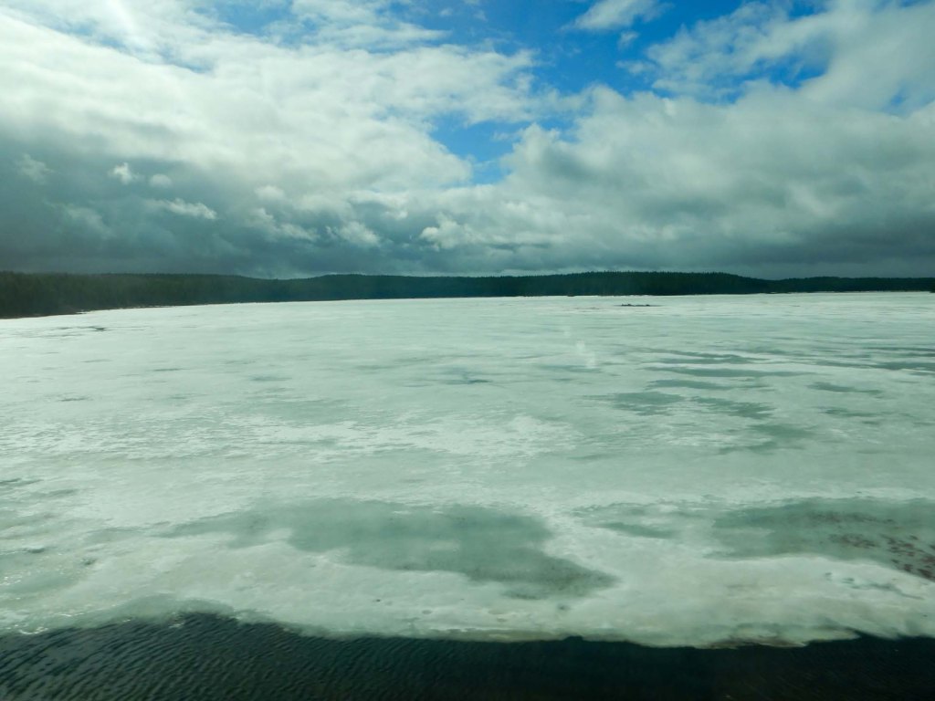
We passed Sioux Lookout – a small town with services.
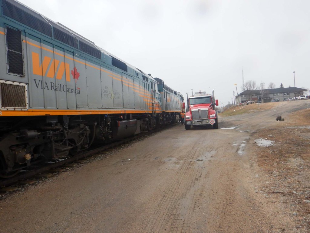
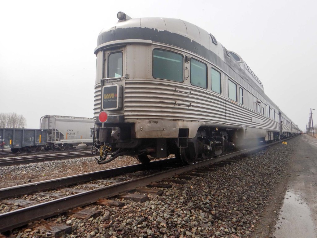
Eventually we reached the border of Ontario and passed into our second province – Manitoba. We had moved an hour back from Eastern Time to Central Time. It was becoming less forested. Instead there were vast open prairie areas and enormous grain hoppers. There were more farms and it seemed less isolated.
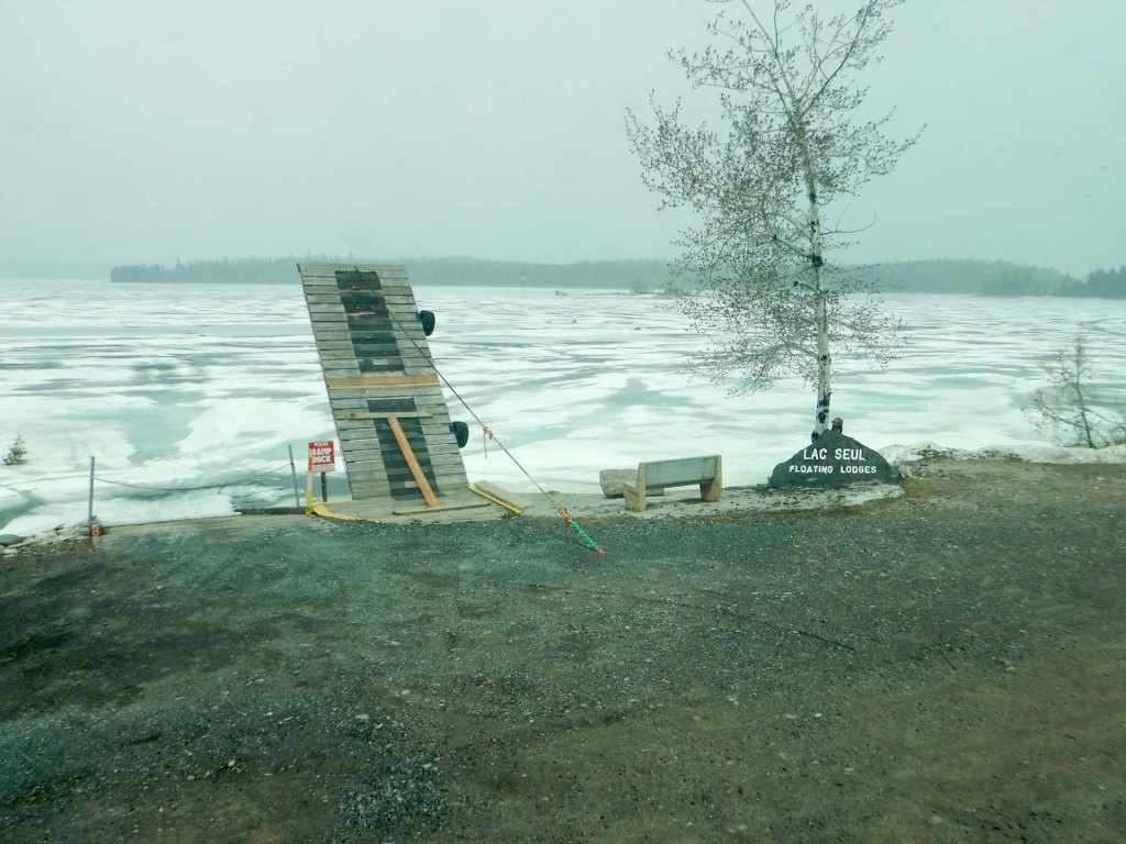
We were definitely running late exacerbated further by a one hour wait only just outside Winnipeg Station where we arrived just before midnight. Fortunately our hotel was nearby – almost visible from the railway station – in the historically significant Forks area.
5 May – 7 May – Winnipeg
We breakfasted on sausage sandwich at Tim Hortons – you have to do that at least once in Canada! As it’s inexpensive it’s also a magnet for those living on the borders of society but the apparently homeless people left through a different door when a police officer arrived to order a large double double (double coffee with double cream and double sugar).
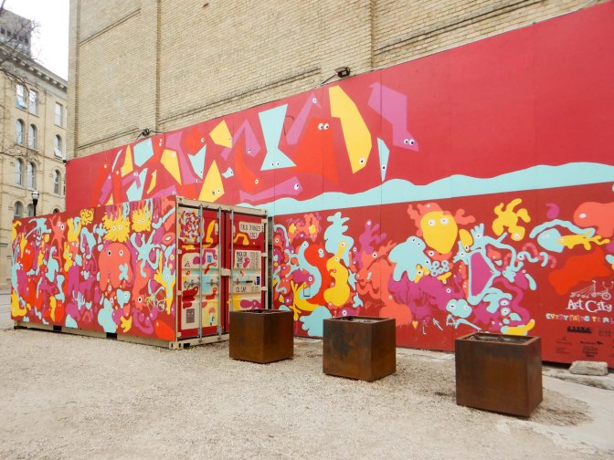
The weather had become cold – snow with significant wind chill too. We spent most of the day wandering round the excellent Museum of Manitoba – a history of the area encompassing deep geological time through dinosaurs and early life to indigenous people and then the coming of European settlers right up to the present time. There was a lot to see and assimilate so by the time the announcement was made that the museum was soon being closed for the day there were areas we had been unable to visit.
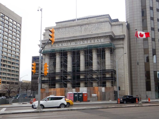
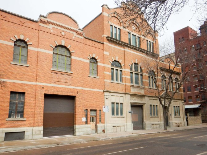
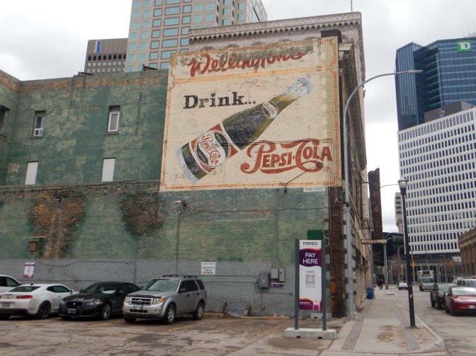
Cinnamon buns at The Forks Market were on the menu for breakfast the following day. We spent a lot of the morning wandering round The Exchange District. National Historic Site. This part of Winnipeg features heritage buildings built between 1880 and 1920. There are massive stone and brick warehouses complete with their historic painted signs, elegant terracotta-clad buildings, narrow angled streets as well as cobblestone paths and alleyways.
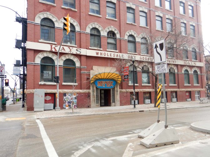
The area emphasises the city’s key role as a centre of grain and wholesale trade, finance and manufacturing. We also visited the small Platform Art Exhibition – an eclectic changing collection of modern art by up and coming artists.
There followed our attempt to navigate through the city on the Skywalk, a system of interconnecting corridors and buildings above ground level with enclosed bridges joining the blocks to avoid the need to descend and venture outside to cross roads. Clearly this is useful in the very cold days of winter. Unfortunately we managed to lose our bearings completely and then discovered that part of the walkway is being renovated and rebuilt including a new shopping complex plus medical centre so we couldn’t do what was shown on our map anyway.
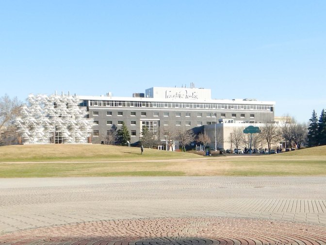
Eventually we reached our destination – the Contemporary Art gallery. It’s in the university buildings and currently featuring the theme of “Transcendence” by using photography utilising a scanning flat-bed to take images of roses in the garden illustrating themes of life and death / decay. A complementary video showed twenty simultaneous videos of flowers being arranged in then removed from vases non-synchronously.
We ate lunch in a very pleasant and up-market sandwich bar next door, apparently staffed mainly by university students.
We spent the afternoon visiting the nearby Winnipeg Art Gallery where we encountered a mix of styles and mainly modern art. This included sculptures by indigenous artists, a thought provoking exhibition on the theme of Staycation exploring the theme of wanting to stay and be hefted to a place.
Our subsequent attempts to find a supermarket were even less successful than our navigation of the Skywalk system and, eventually, after what seemed to be miles of walking, we gave up.
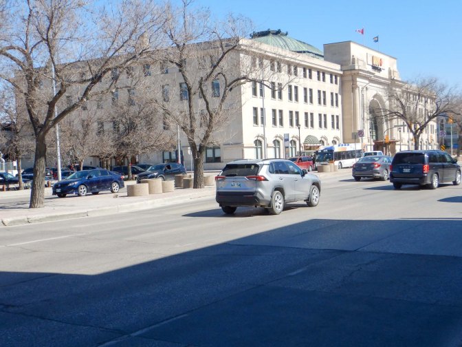
The next day was our final one in Winnipeg and earmarked to explore the area close to the hotel and the railway station from where we were due to depart that evening.
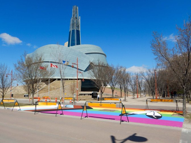
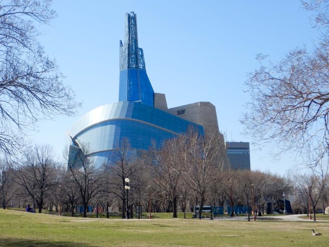
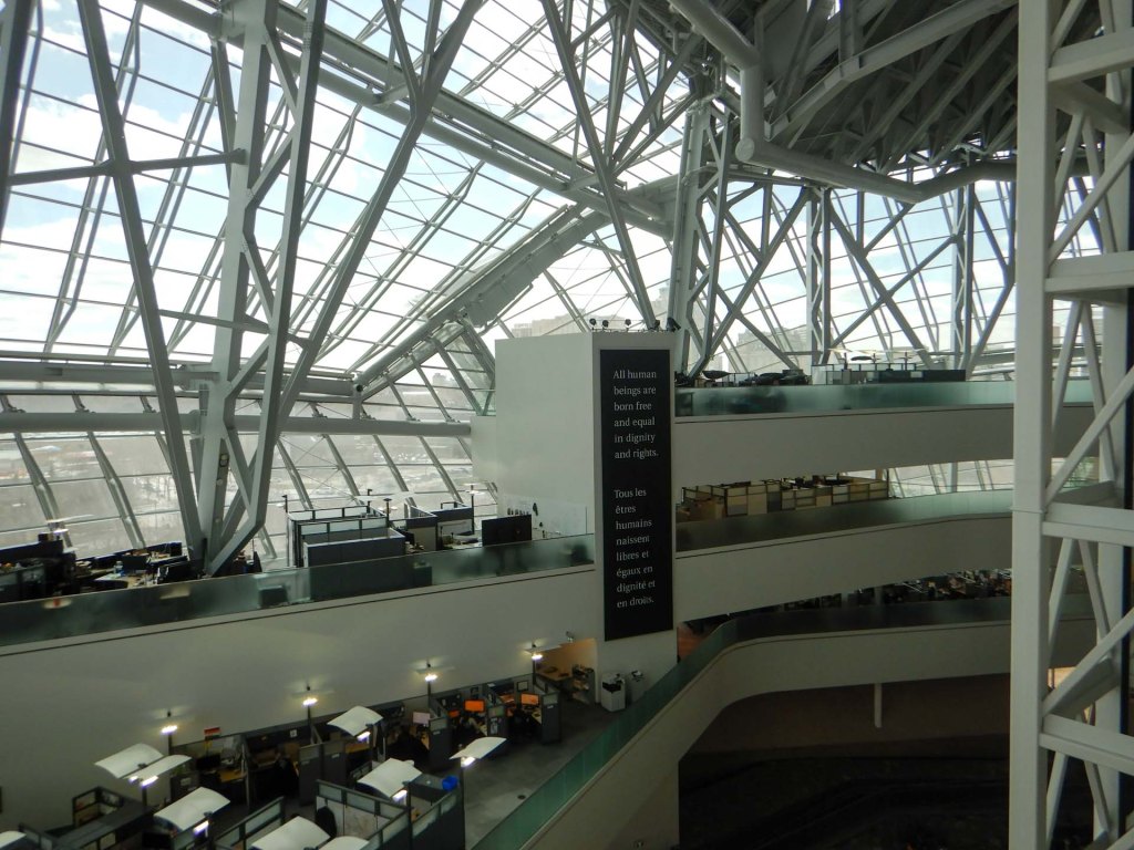
The Human Rights Museum is the World’s first museum dedicated to the exploration of Human Rights. It has an ambitious mandate in “seeking to explore the subject of human rights, with special but not exclusive reference to Canada, in order to enhance the public’s understanding of human rights, to promote respect for others, and to encourage reflection and dialogue”. The site on which it is built at The Forks, where the Red and Assiniboine Rivers meet, was a significant choice as for thousands of years, indigenous people followed its waterways and held meetings nearby for peace-making, dialogue and trade.
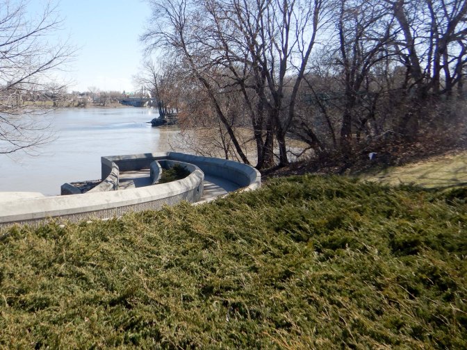
The design is grounded in principles of sustainability and eco-friendliness.
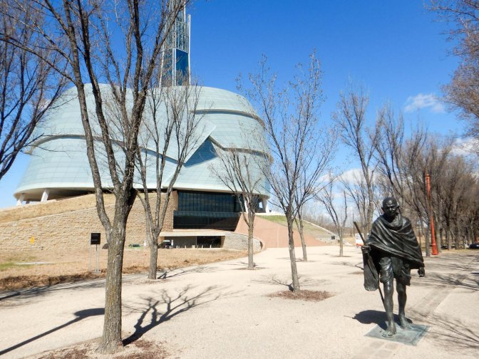
The museum design is also symbolic: the building rises from four stone “roots” that symbolize humanity’s connection to Mother Earth. The structure embodies aspects of the Canadian landscape: a craggy limestone mountain is surrounded by a glass cloud and topped with an icy peak. The cloud becomes the wings of a dove embracing the building beneath a beacon of hope.
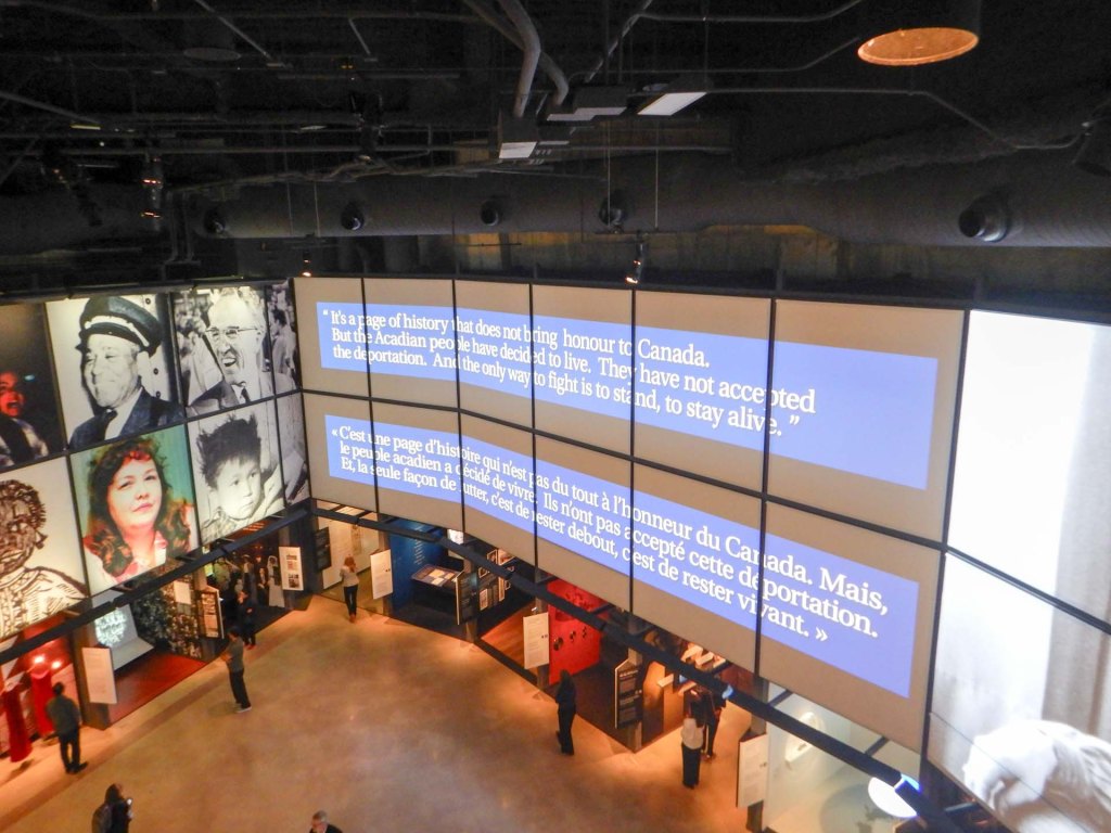
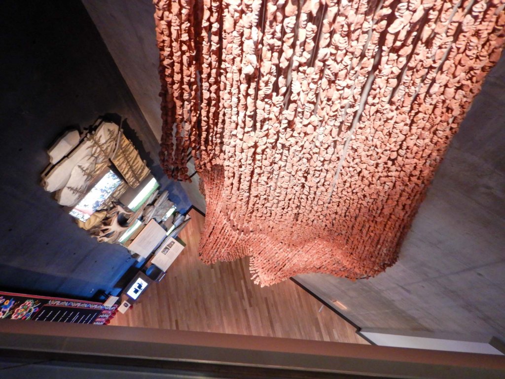
Progress through the museum is from darkness on the lower floors to light on the upper floors, reflecting hopes of the organisation for education and evolution in Human Rights. Exhibitions encompass many areas where human rights have been ignored in the past and present and hopes for the future as well as asking visitors to reflect on their own role in building a better World for all people.
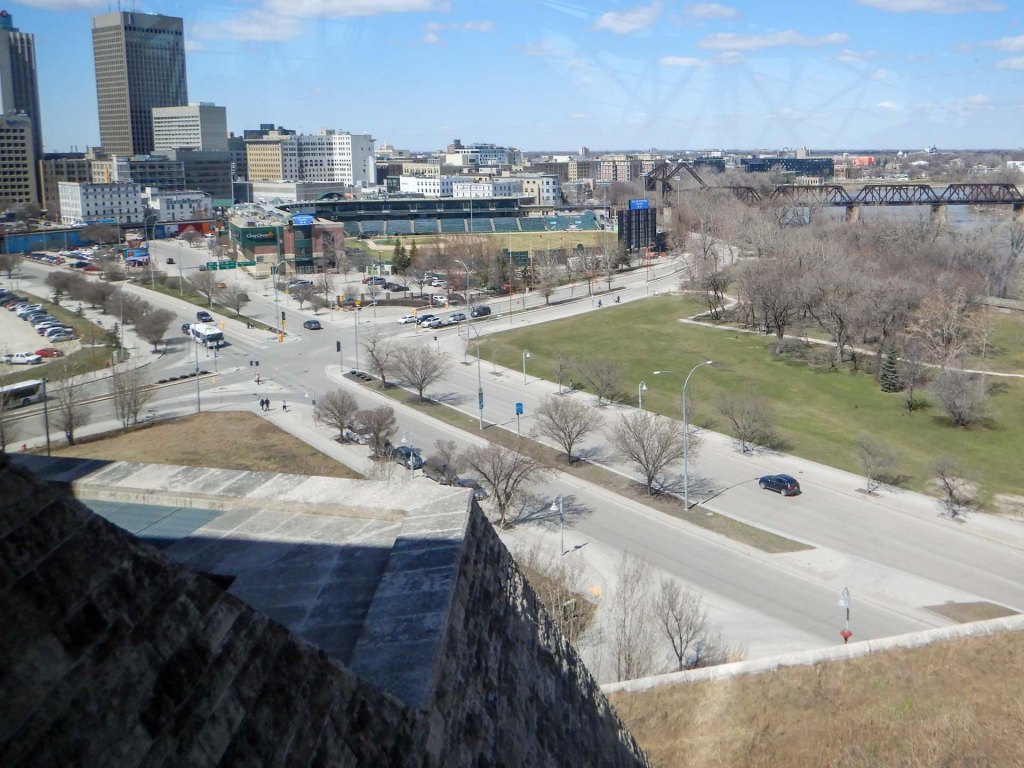
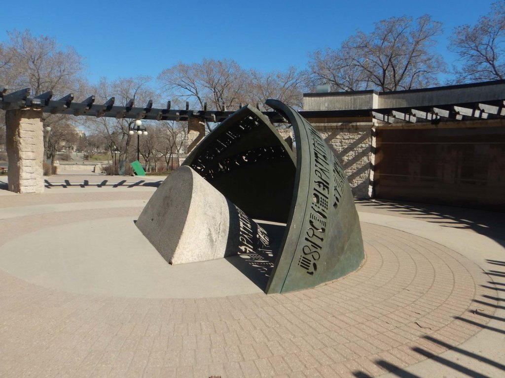
Following our visit to the Museum, we took time to explore the rest of The Forks area with its history and significance as a meeting place stretching back over 6,000 years.
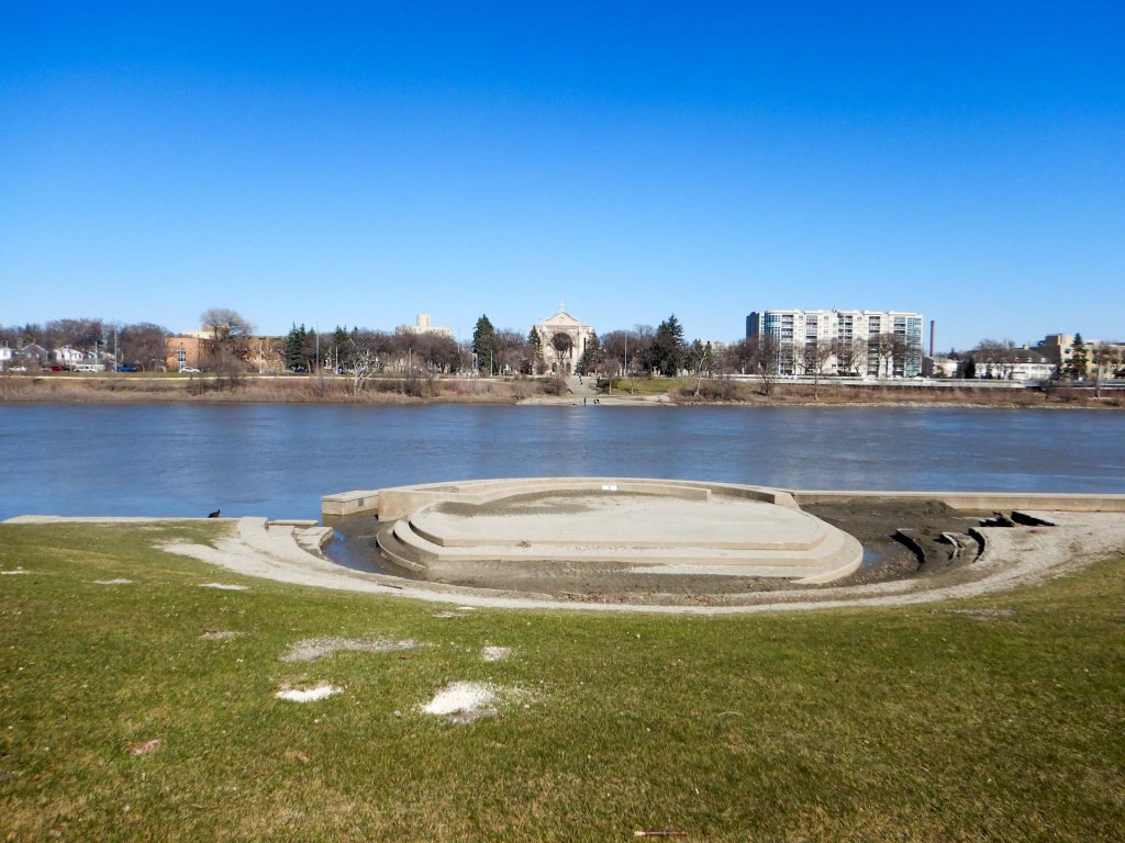
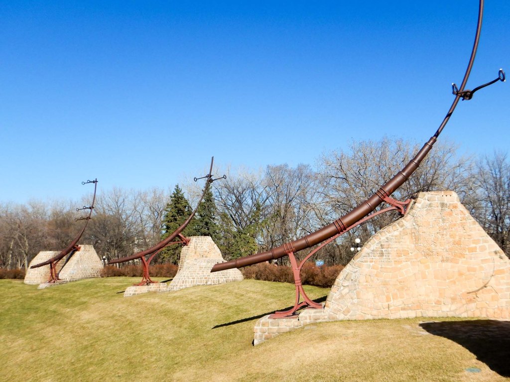
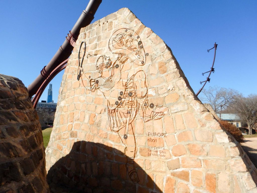
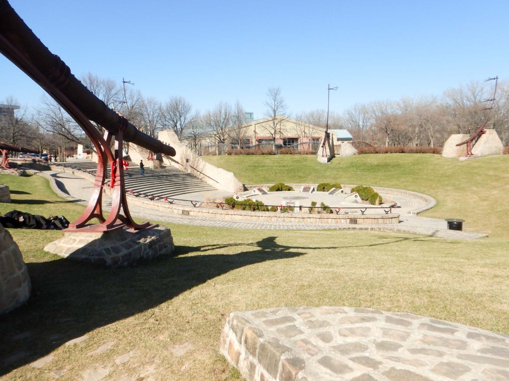
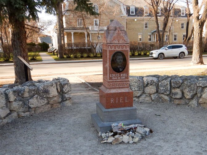
Later while we were waiting for the train, I walked over the bridge to visit the Roman Catholic Cathedral of St Boniface where I found in the grounds the grave of Louis Riel, a Canadian politician, a founder of the province of Manitoba, and a political leader of the Métis people: a distinct indigenous people of mixed European and Indigenous ancestry.
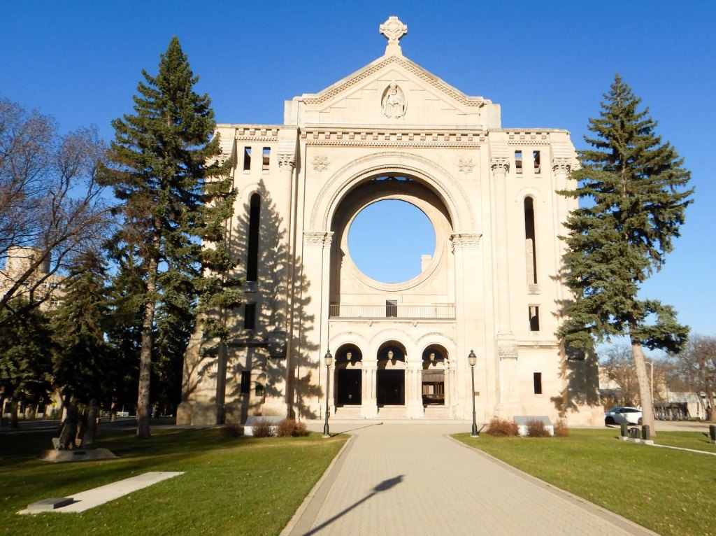
7 May – 9 May Winnipeg to Jasper – The Canadian again
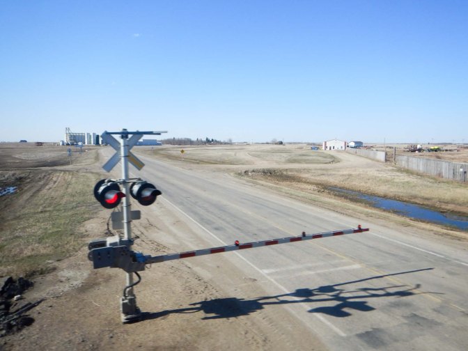
The train was only a little late reaching Winnipeg so we were soon on board and in our cabin already made up for the overnight sleep. We even had the end cabin in the carriage which was a bit bigger than the others. We woke to find ourselves travelling over the large, flat prairies of Manitoba. There were huge grain storage bins and seemingly endlessly long freight trains, some of which appeared to be carrying grain.
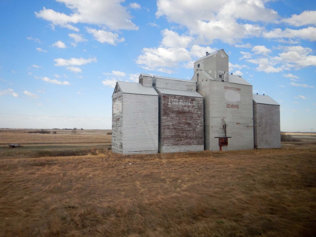
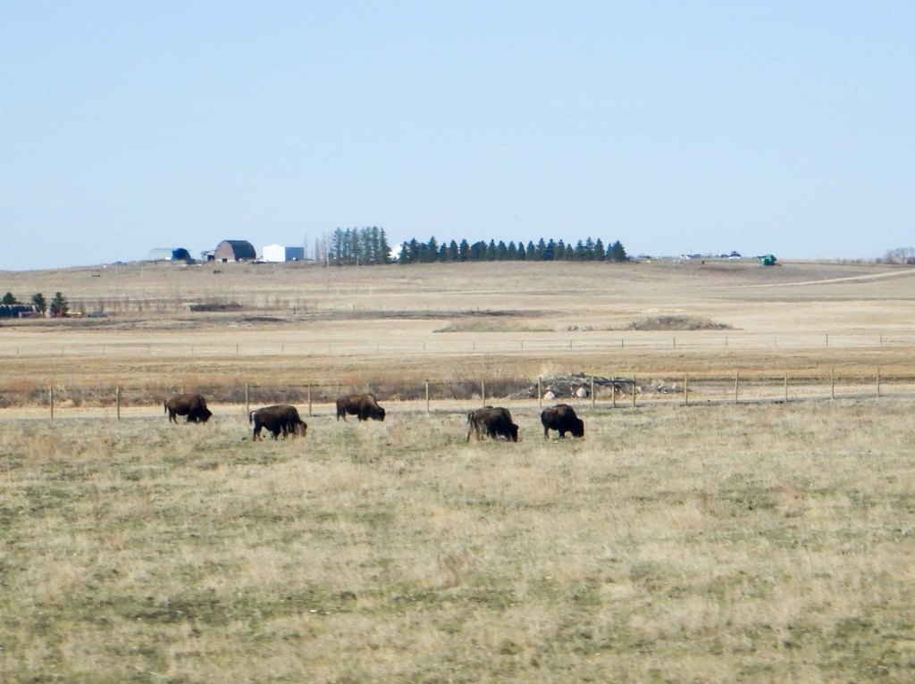
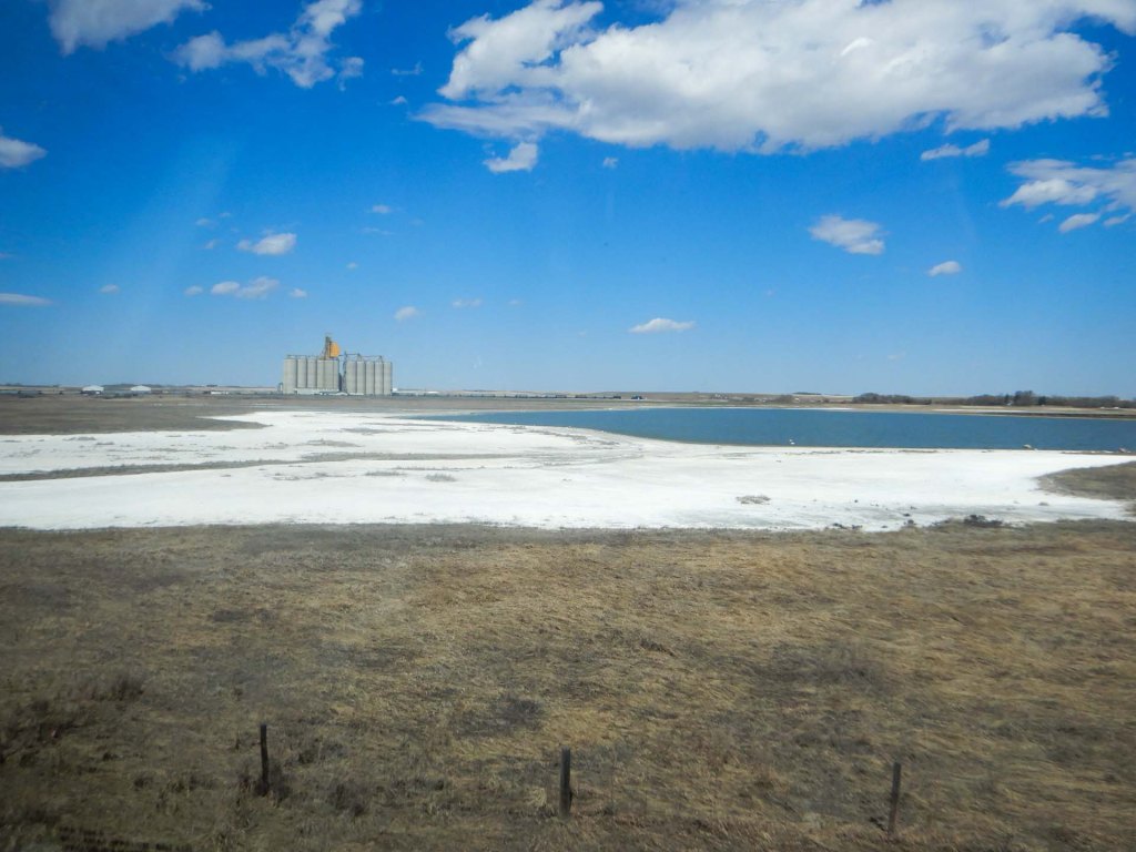
We were due to arrive in Saskatchewan so we had to alter our watches by a further hour as we were on Mountain Time now. There were gradually a few rolling hills and more townships than in Manitoba. Saskatchewan has no coastline. We saw some potash mines and some crystals at the edge of lakes.
I was delighted to see that one of our carriages was named after David Thompson who was the first European to explore the Columbia River from its mouth to its source. Over Thompson’s career, he travelled 90,000 kilometres (56,000 mi) across North America, mapping 4.9 million square kilometres (1.9 million square miles) of the continent, possibly being the greatest practical cartographer ever.
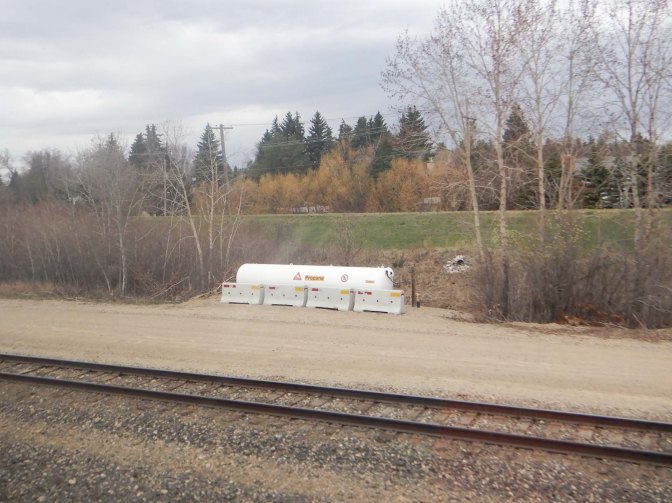
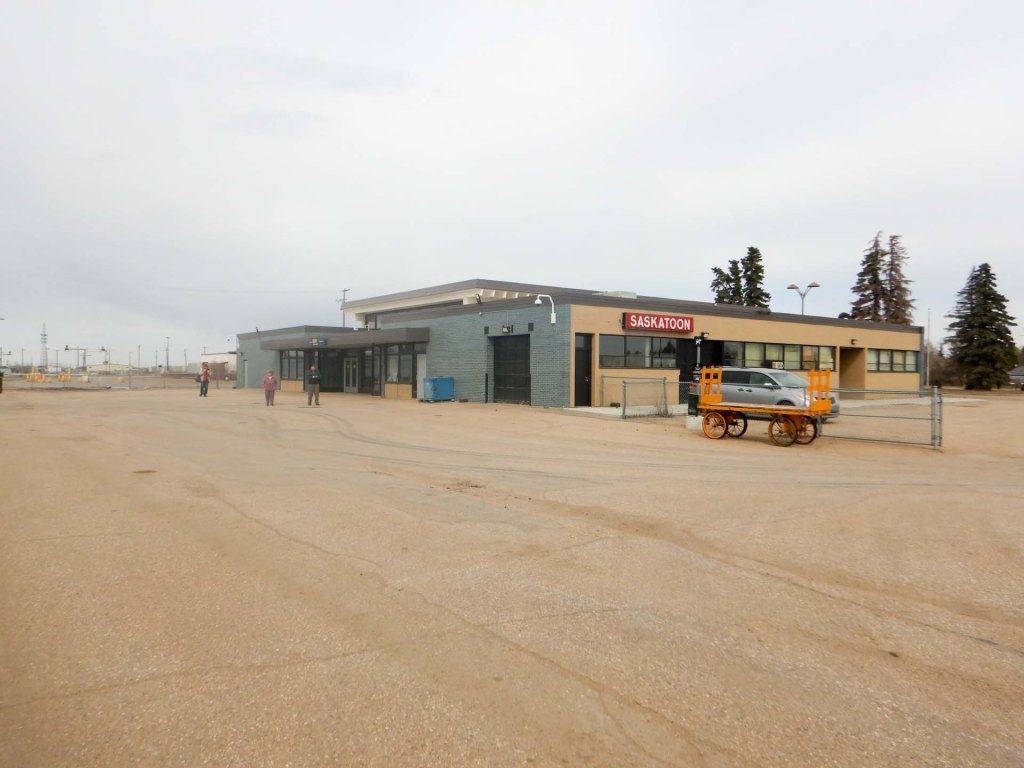
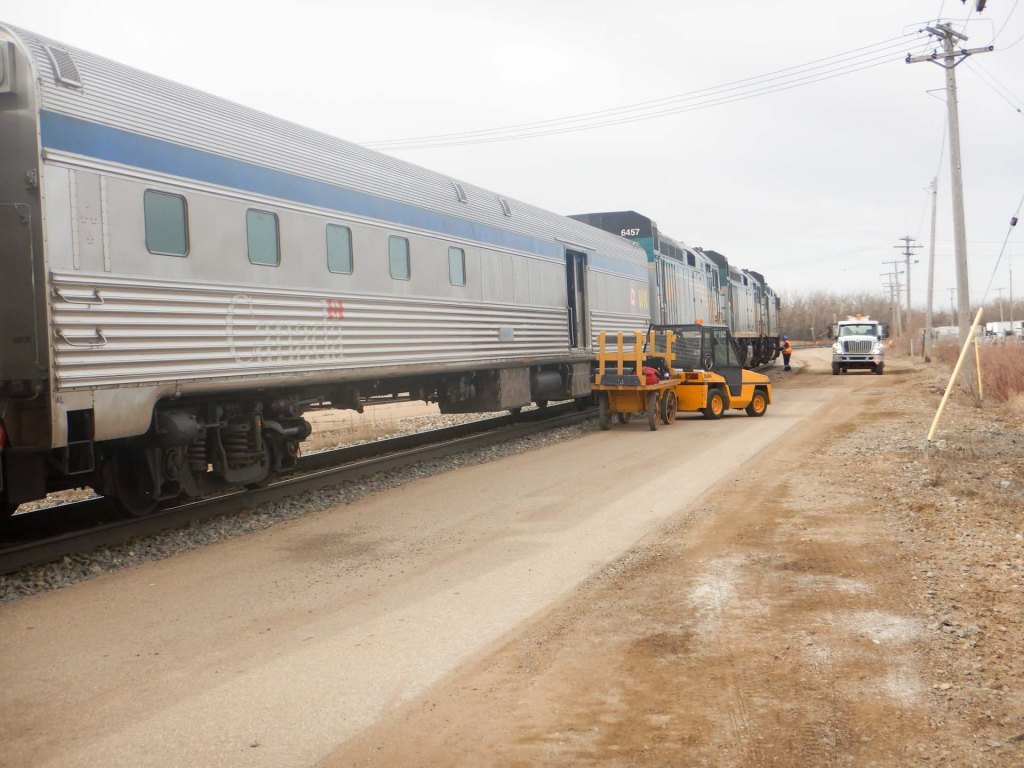
We stopped at Saskatoon where it was very windy but I still walked the length of the train and back.
My luck at bingo was better this time and I won two prizes! – a fridge magnet and a key ring. Our guide on the train was very enthusiastic in extolling the delights of Jasper which was where she had got married. She also told us about the wild fires caused by two separate lightning strikes in July 2024. She had been on the train which was turned back just before reaching Jasper. As we were to find out sequelae of the fire are still being felt and it was indeed a devastating time although fortunately, thanks to the sterling response of the emergency services, there was no loss of life to residents or visitors. Sadly one firefighter was killed by a falling tree.
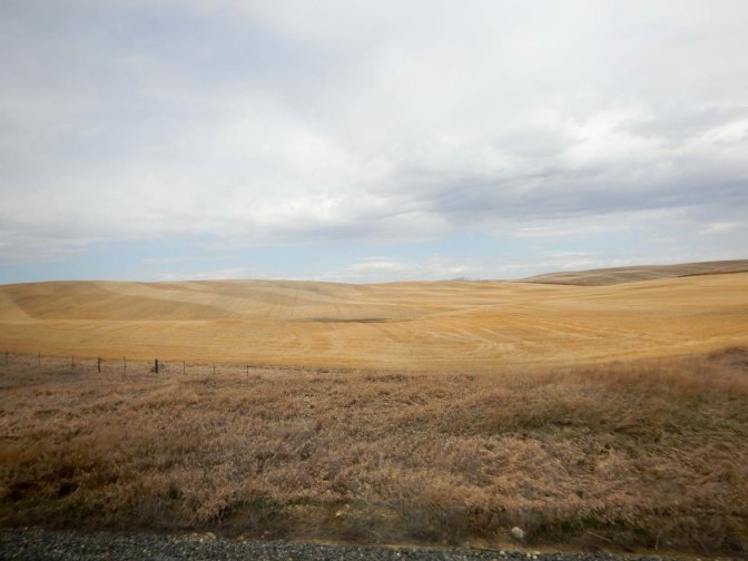
We woke early the following morning to spend some time in the dome car – the scenery had changed completely and we were in the middle of the Rocky Mountains. We spotted mountain goats and sheep as we approached Jasper. It was a beautiful sunny day and we inhaled the fresh mountain air as we alighted from the train.
9 May – 11 May Jasper
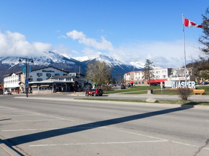
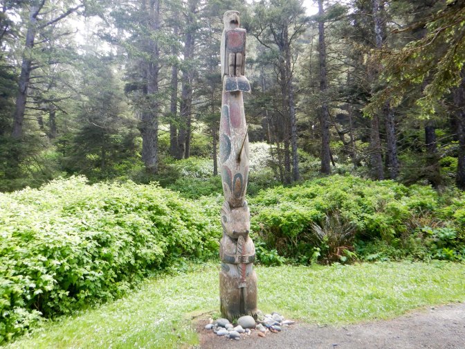
We were fortunate as it was quiet and we were able to check-in at the hotel even though it was before 08.00am! We returned to the town centre passing a totem pole, the community garden and many small shops plus hotels and eateries.
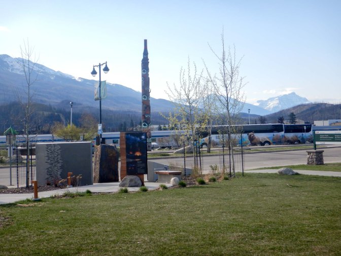
It was still before 09.00am so we wandered round a large outside area where there was information about the multiple groups of indigenous people who had been guardians of the area since time immemorial. Sadly, treaties made with these peoples were broken with displacement of indigenous people even to create the Forest Park (forerunner of the National Park) in 1907.
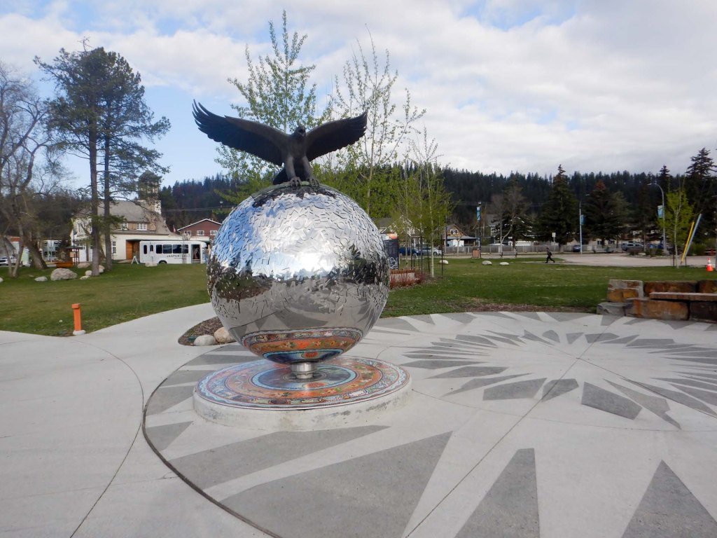
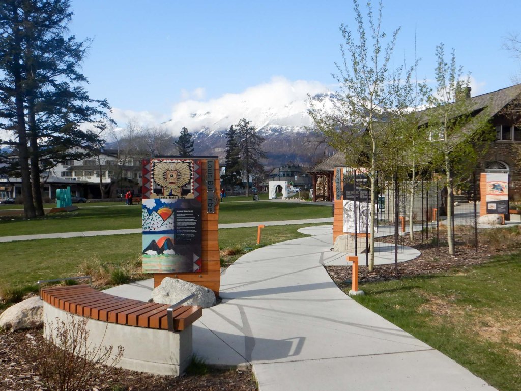
At 09.00am, the National Park centre opened and we were first in the line to receive very helpful advice about which walking trails were open, accessing the Sky Tram and the all important precautionary need for bear spray. We revisited the station to confirm that current rules allowed us to transport the bear spray wrapped in our checked-in luggage on the train. This meant that it was worth purchasing a canister rather than sorting out multiple rentals as we travelled further.
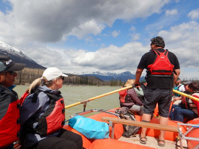
We looked round a bit more then returned to the hotel ready to be picked up for our pre-booked raft trip. Actually I was a bit disappointed as we didn’t even get very wet and all the paddling was done by the guide – clearly our tour company had booked us on to the non-energetic raft tour rather than the adventure that I had hoped for!
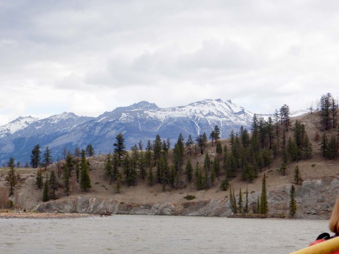
Our guide pointed out various rapids, Mount Edith Cavell, the Whistler SkyTram, areas of trees affected by the wildfire, a special “hippo” stone in the river etc. He explained that the water level keeps changing and that every journey is different. The time went by very quickly and I was surprised when we had reached our downstream destination and it was time to transfer back on to the bus. As it was an old school bus, all the American and Canadian participants were reminded of their schooldays.
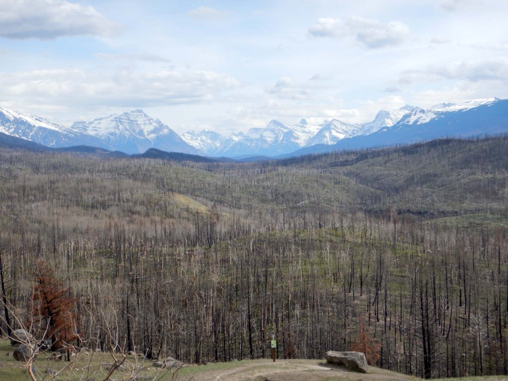
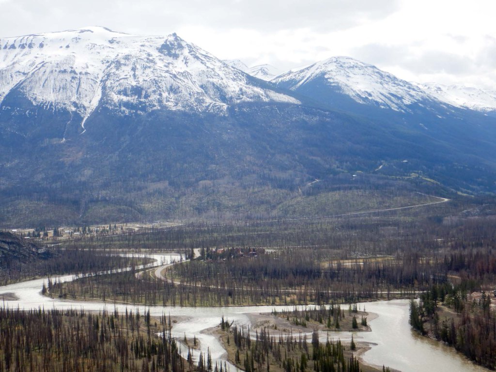
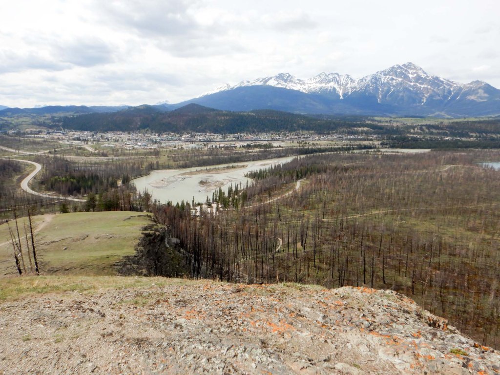
We walked to the Old Fort Viewpoint and hill, enjoying views of the Athabasca and Miette River confluence.
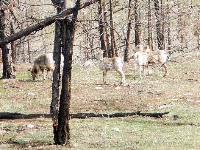
We also saw some mountain sheep – but no bears. We were carrying the bear spray – just in case. In fact a couple of weeks later there were reports of a young grizzly bear in the area….
The next day, we had planned a walk at Pyramid Lake in the morning and to ascend on the SkyTram in the afternoon as the previous day visibility had improved later in the day. However, visibility looked good early on and we realised on getting to the booking office that we were just in time for the early morning transfer bus and connecting SkyTram ticket so a better use of time would be to reverse our plans.
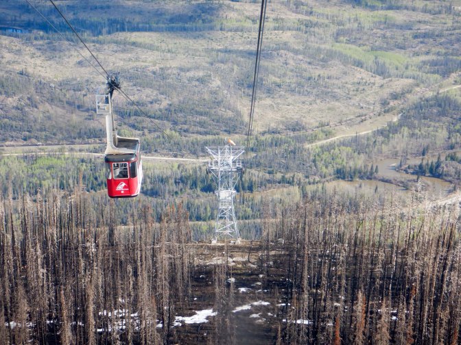
This was a great decision as we were on the first cable car of the day up the mountain so the top station was quiet. There were even views of Mount Robson – highest peak in the Rockies and only visible from Whistlers top on around twelve days per year!
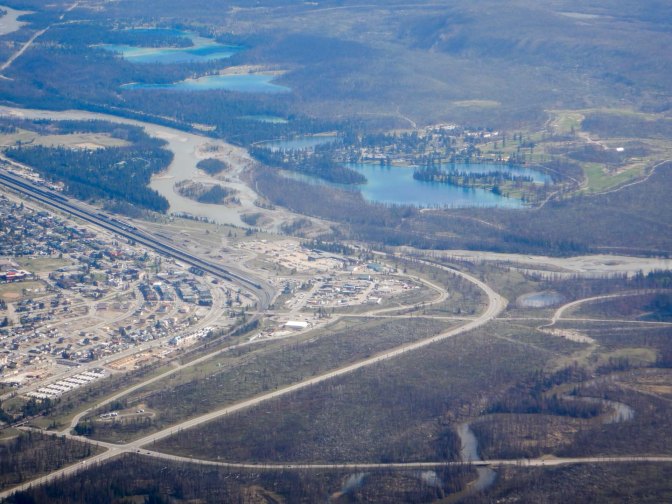
My husband decided to turn back partway on the summit trail as there was snow.
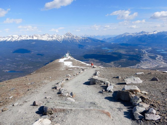
I proceeded on in the company of an Australian couple from Queensland. They were superb companions and we took photos for each other.
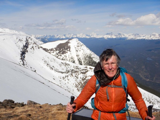
We negotiated the snowfields easily taking care not to sink into any deep holes. My trekking poles proved to be extremely helpful. The views from the view pointer at the summit were really clear – it was an amazing experience and turned out to be one of the highlights of my holiday.
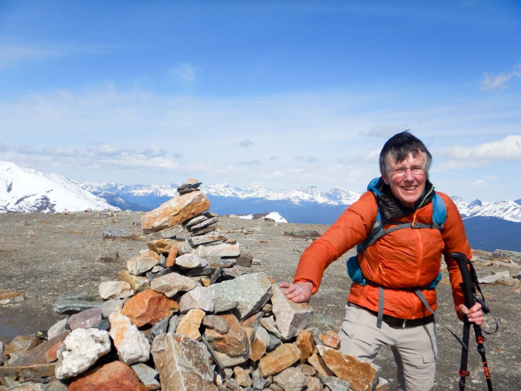
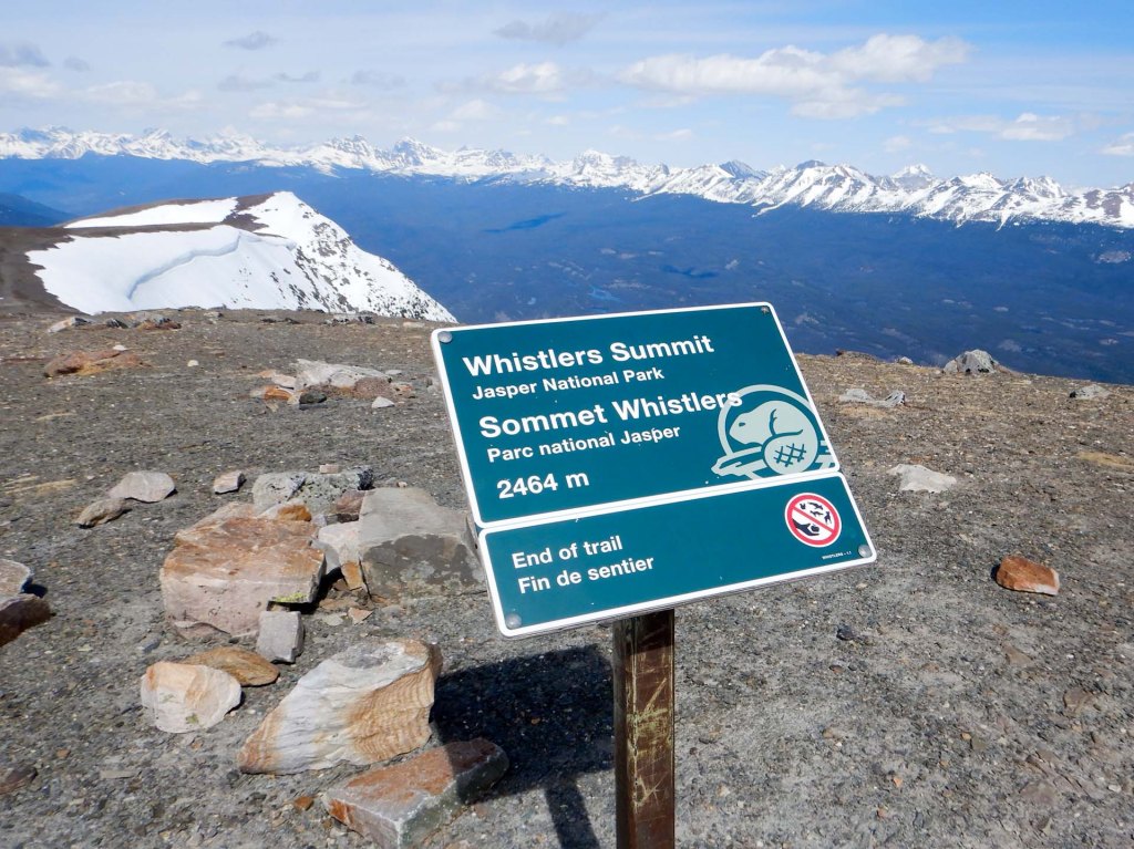
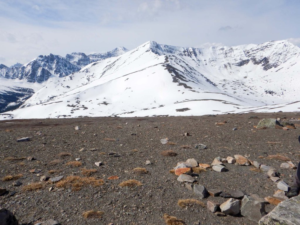
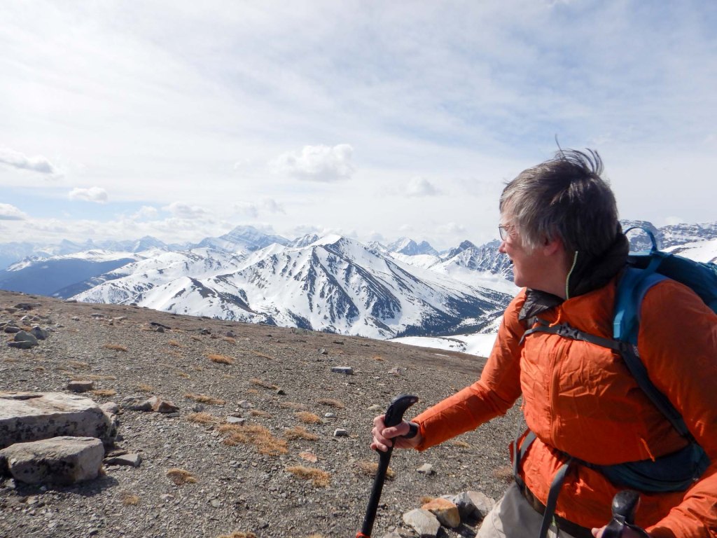
The descent was straightforward – in the warm weather there had been some melting even during the short time we were near the summit.
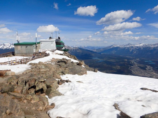
I even had time for a cup of coffee at the top station before taking the cable car down to link with our booked transfer bus back to Jasper town centre.
After a quick lunch break sitting on a seat overlooking the town centre, we decided to invest in a taxi journey to Pyramid Bench for our planned walk. In fact it was less expensive than we expected with a price agreed beforehand of $20 and the driver seemed delighted with the additional $5 tip.
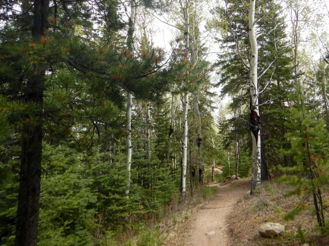
This area appeared to have been spared in the fire.
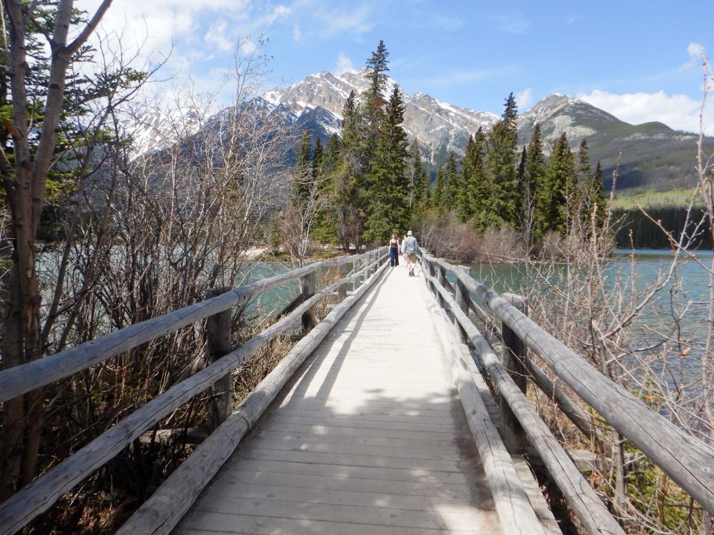
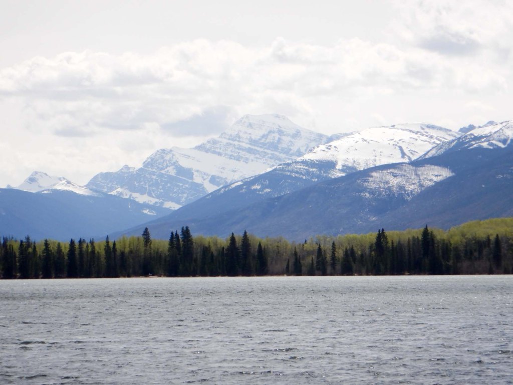
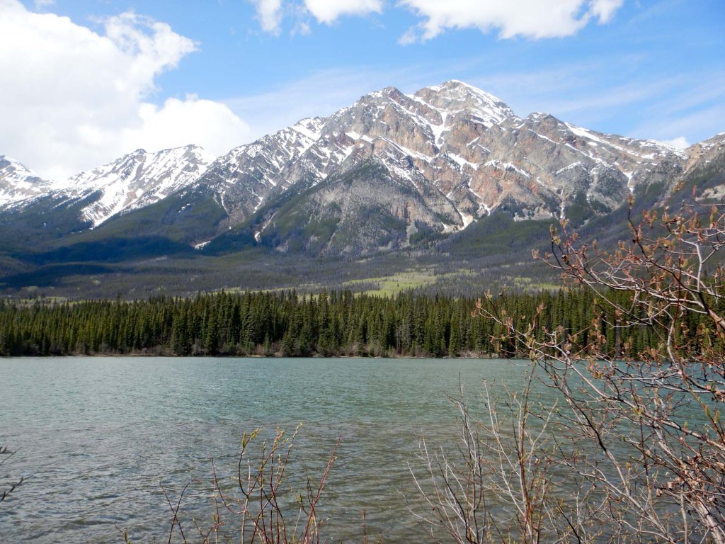
We explored the lakeside, crossed the bridge to Pyramid Island and then made our way to Lake Katarina along a quiet path. We descended to meet a rushing stream, crossed on a footbridge then followed a different path back to Pyramid Lake. The thick forest contained birch trees as well as fir and pine – this is montane forest which is relatively warm and dry.
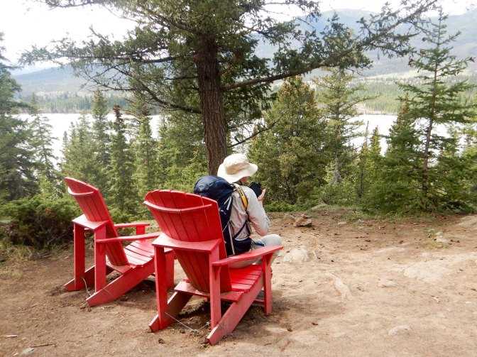
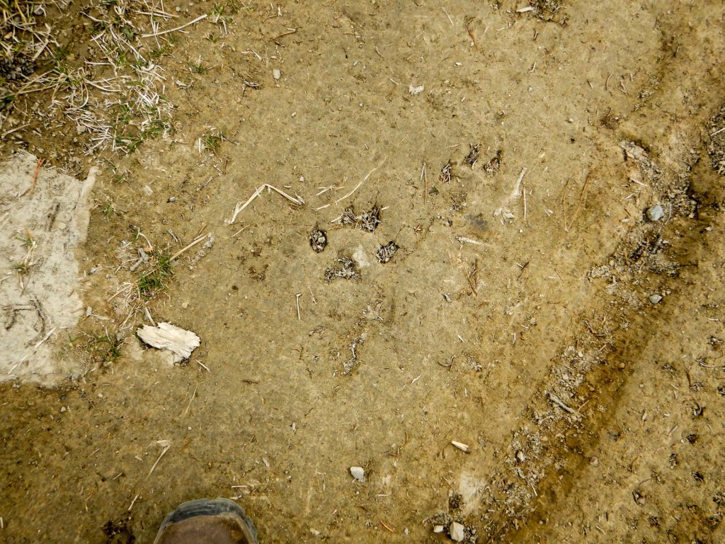
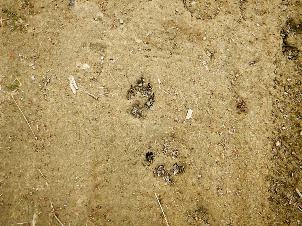
We followed a path all the way back to Jasper, noting some wolf and caribou footprints in the mud.
It’s worth mentioning that the rebuilding of Jasper following the fire continues. We were told and saw much temporary accommodation – caravans and portacabins – and many buildings still being constructed.
The next day we had an early start to leave Jasper for an epic journey on the Icefields Parkway.
11 May The Icefields Parkway
Our tour guide was Dave who we shared with a small coach of tourists, all American apart from us. There’s a lot to see on the journey of almost 200 miles from Jasper via Lake Louise to Banff and there would be plenty to do on a multi-day trip staying at various places on the way. However, for us it was a single day.
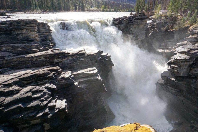
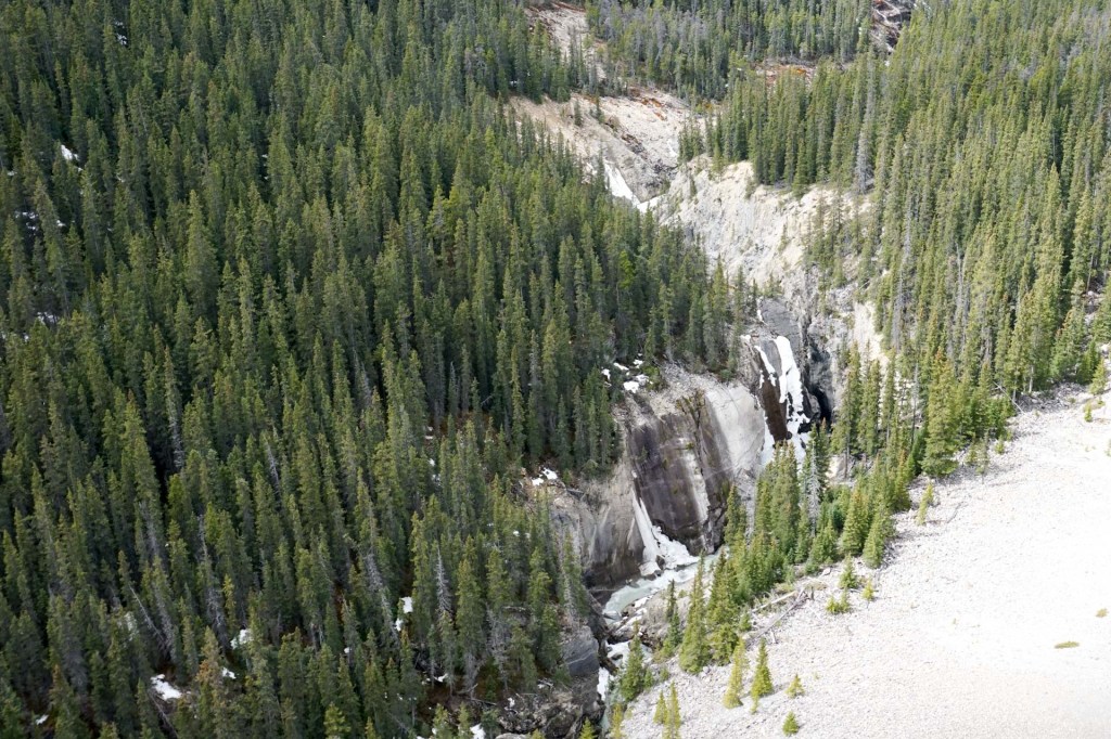
Our first stop was at the Athabasca Falls less than twenty miles from Jasper.
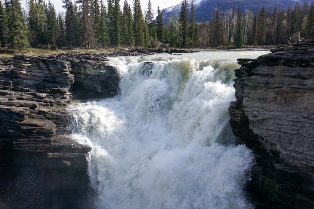
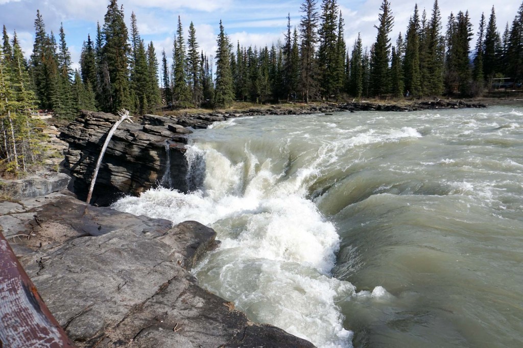
There was just around a quarter of maximal water flow but nonetheless the waterflow was powerful beyond belief with swirling whirlpools, turbulent water and dramatic drops.
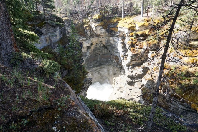
I also descended to a canyon and pothole.
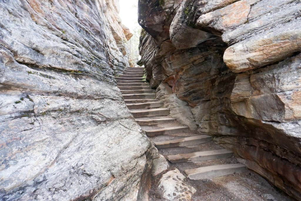
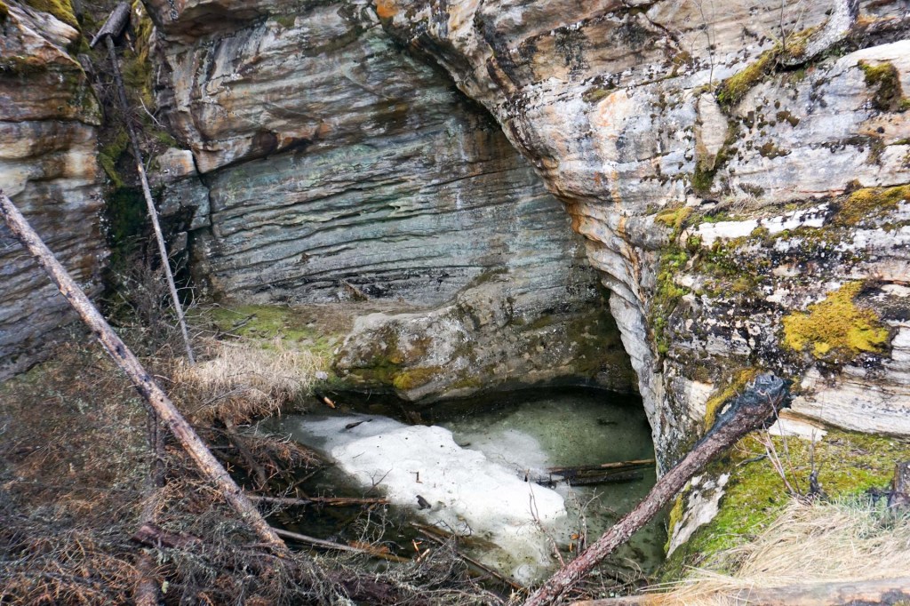
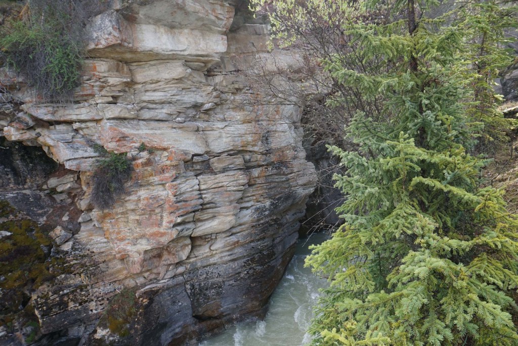
The road passed through towering mountains on either side with many small waterfalls. An orange tube at the side of the road takes cables to the Columbia Icefield centre but only between May and October. Apart from this there is no phone or data signal for around 125 miles between the Athabasca Falls and Lake Louise. The tube above ground disturbs the delicate ecology less than digging and putting the cable below ground.
The road followed alongside the braided Sunwapta River (a tributary of the Athabasca).
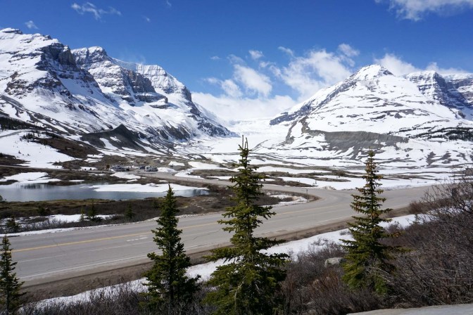
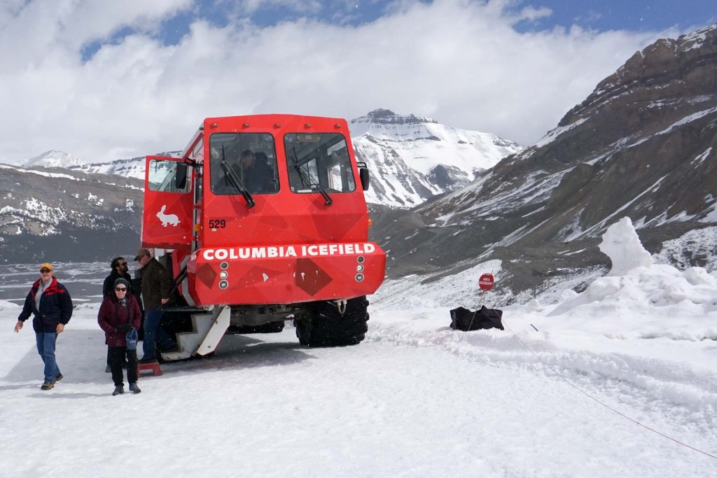
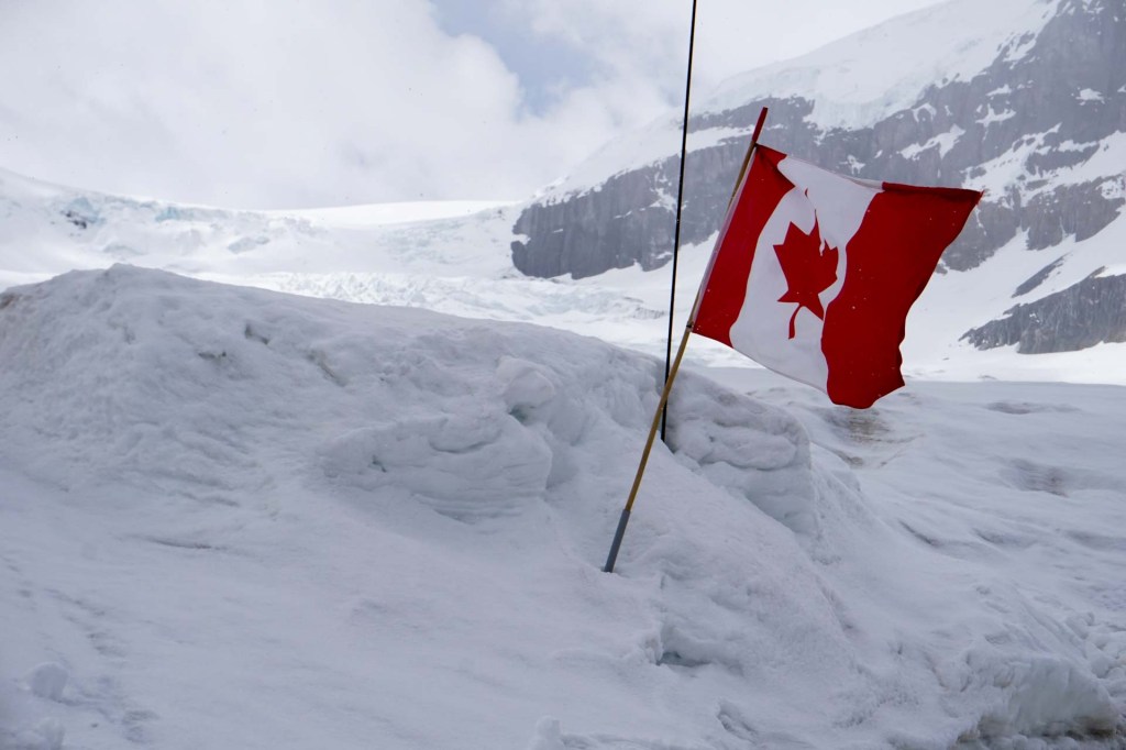
Gradually we reached areas with snow and eventually views of the glacier itself. Our second stop was at the Columbia Icefield Centre where we were transported across the ice at gradients of up to 33% in a massive Ice Explorer and able to leave the vehicle to step on to a section of the glacier.
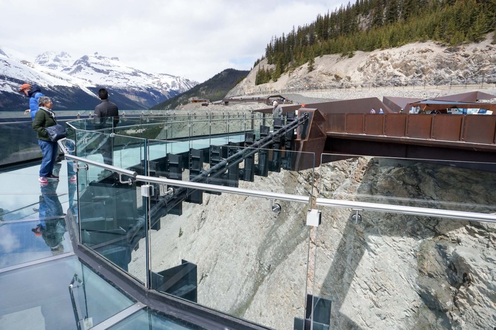
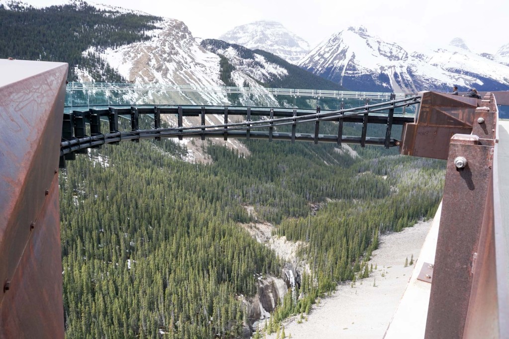
We were transported to the Skywalk, a glass floored viewing platform with views of mountains, glaciers, frozen waterfalls and the Sunwapta Valley.
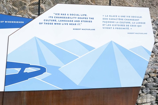
Robert Macfarlane says it all in a few carefully crafted words:
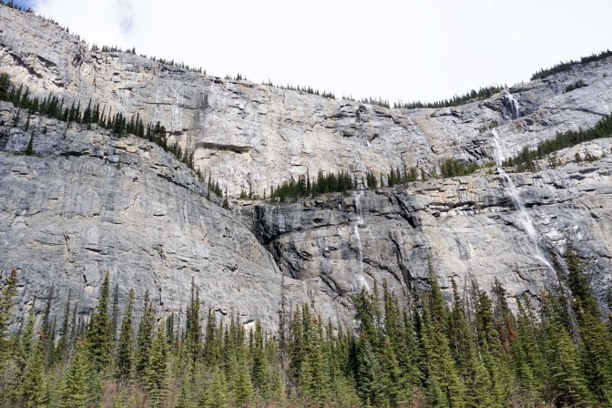
Back on the Icefields parkway, our next stop was at the Weeping Wall Viewpoint to see the multiple lines of water, much of which was still frozen so early in the season.
From the coach, we could see areas where there had been recent avalanches. These showed as bare areas of rock and soil between the trees.
We passed the Saskatchewan River crossing where there’s a road junction.
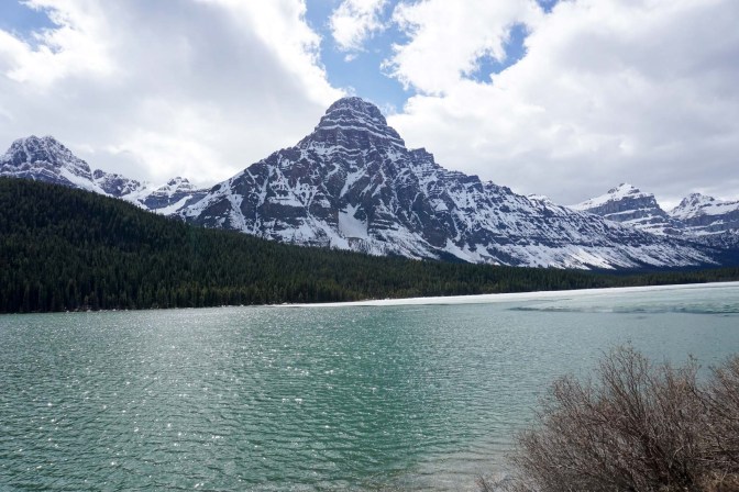
We stopped at the partially frozen Waterfowl Lakes.
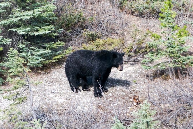
A line of vehicles stopped at the side of a road was a clue that there was a black bear to see on the hillside.
The rest of the group was dropped off at Lake Louise, which looked quite snowy. As we were returning to stay there in a few days we didn’t go down to the lake but were driven on along the busy main highway to our destination in Banff. We saw fences along the sides that had been made bear-proof and the bears plus other wildlife had been provided with bridges and dedicated wildlife movement corridors.
11 May – 14 May Banff
We enjoyed an early buffet breakfast at the hotel before joining a pre-arranged organised introductory tour in a sixteen – seater mini bus round sites near the town. Our guide was indigenous in descent and was able to explain about some of the issues facing indigenous peoples in Canada. She had previously owned a business and had the opportunity to travel extensively, clearly loving her current work as a tour guide which she saw as a shared exploration with her clients. Her sons were university educated with ambitions to work in the tourist industry. However, she also told us about some of her relations who live in reservations where virtually everybody is on social benefits with no permanent work. Her insights were interesting for us and we were delighted that she shared so much with us.
Our first stop was at the Fairmont Castle Hotel where we learned about the coming of the railways, the “discovery” of the hot springs believed to have therapeutic properties and leading to the area being developed as a tourist destination. Nowadays, the only people permitted to live in Banff are those who work in the National Park area and their dependants. Even summer workers can’t live in the town all year and they often stay in local hostels during the summer months.
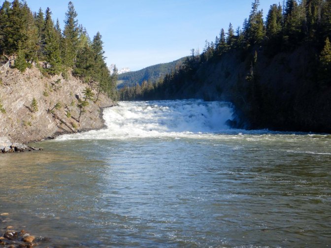
We went on to visit the Bow Falls.
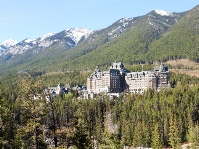
We stopped at the Surprise Corner viewpoint.
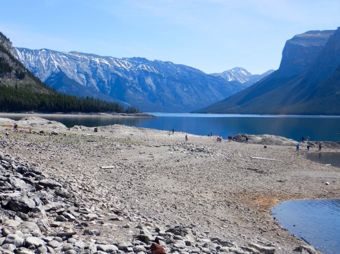
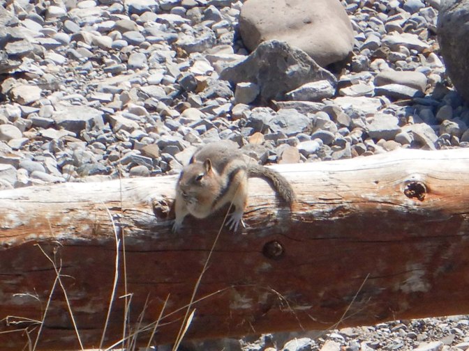
At Lake Minnewanka, a major attraction was the Columbian ground squirrel spotted by the youngest person on the trip, a four year old boy.
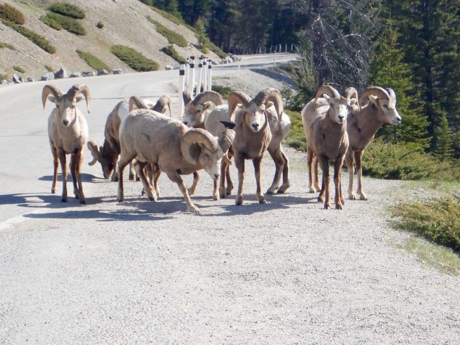
We stopped to look at some mountain sheep including the “grandpa” with the largest twirly horns.
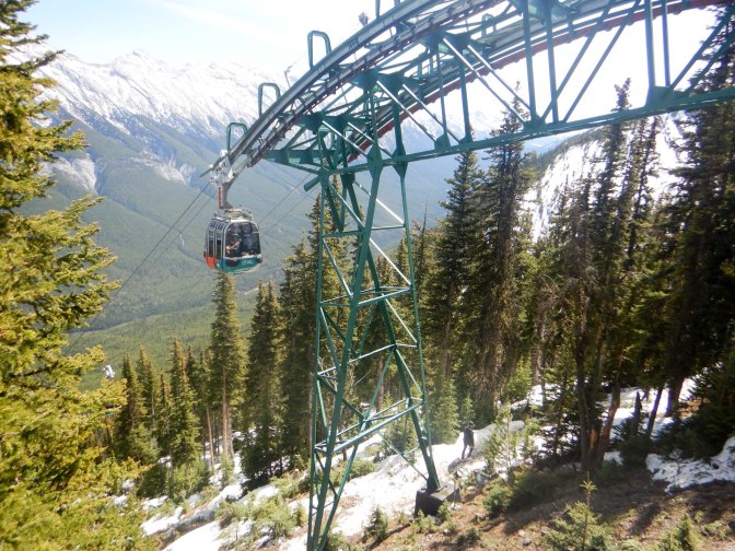
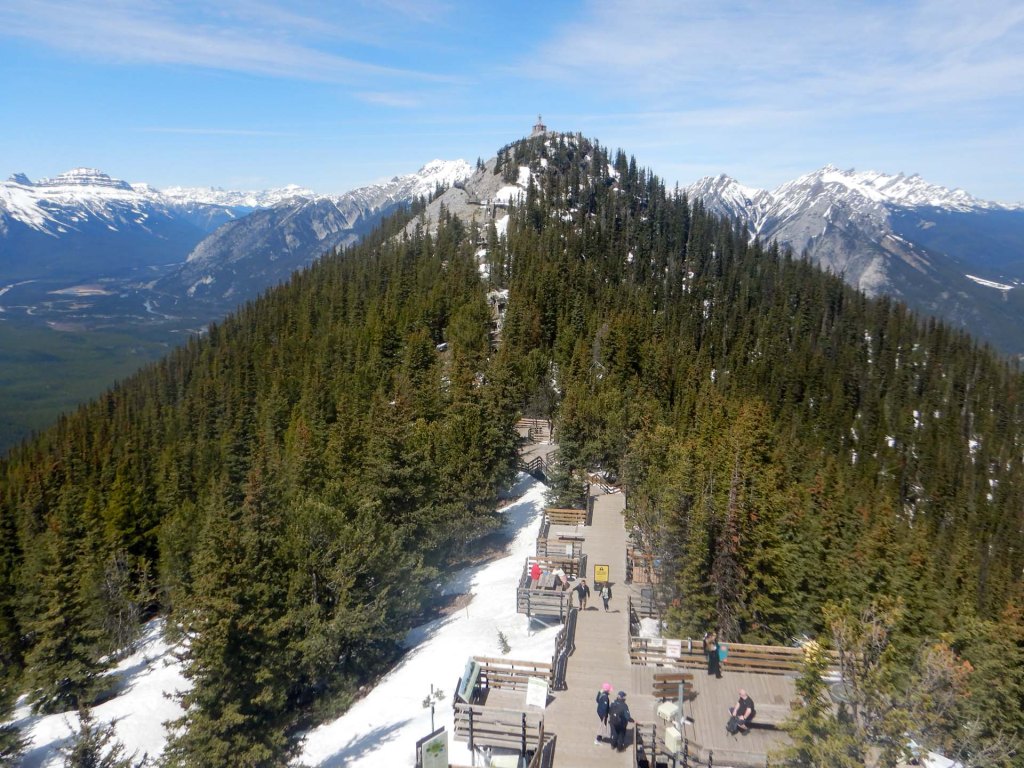
We all ended up at the Sulphur Gondola where we ascended to the top station (245m) and walked higher along a board walk to the Sanson peak and lookout where there is a historic weather station and a newer cosmic ray measurement station.
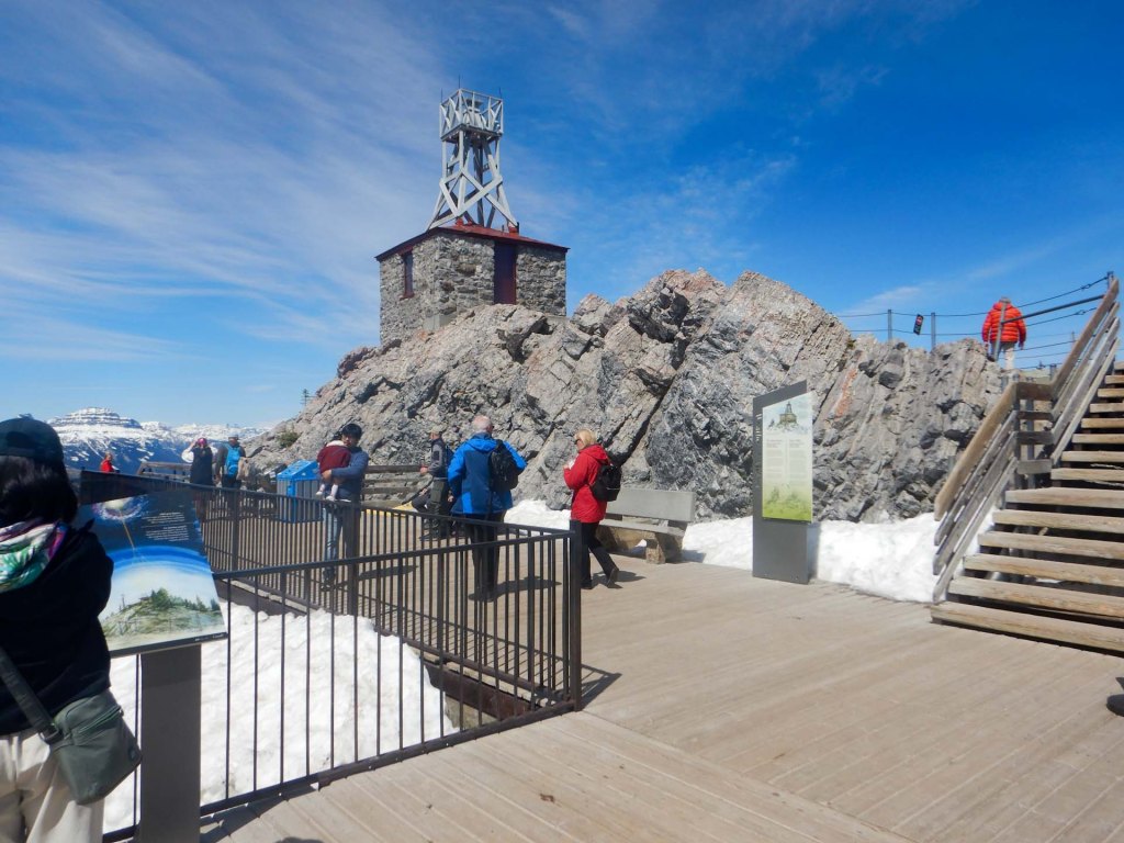
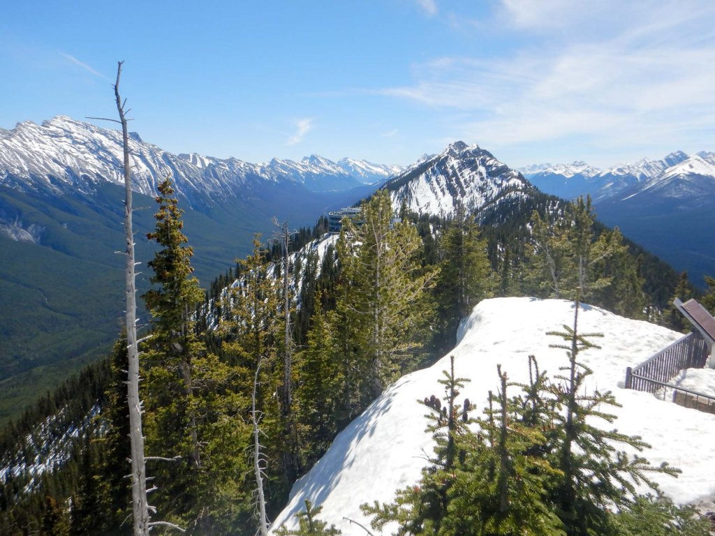
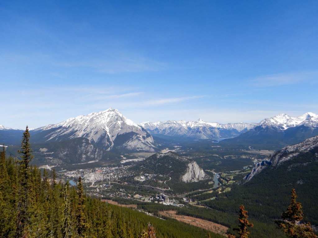
After returning to the town centre at the end of the tour, we visited the parks Centre for some advice about local trails then completed a walk over the Fenland loop and on to the Vermillion Lakes. Grizzly bears frequent the lake area to catch fish but usually after dusk so we didn’t see any. Of course we had the bear spray ready although obviously the hope is always to spot bears at a distance then back off without need for the spray. We enjoyed seeing the fantastic views of Rundle Mountain across the lake.
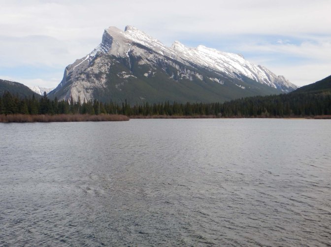
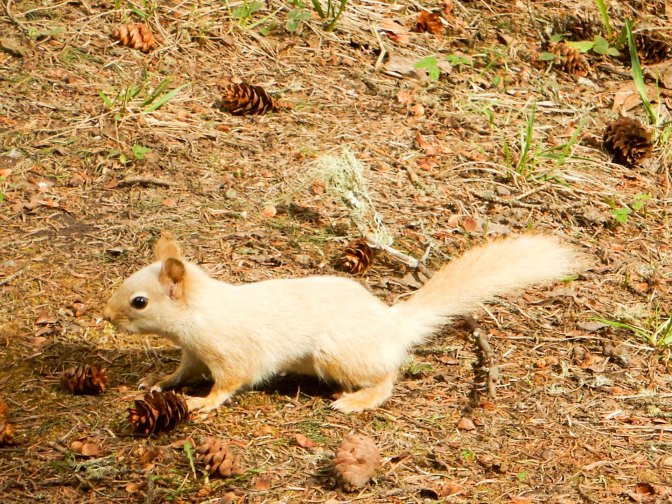
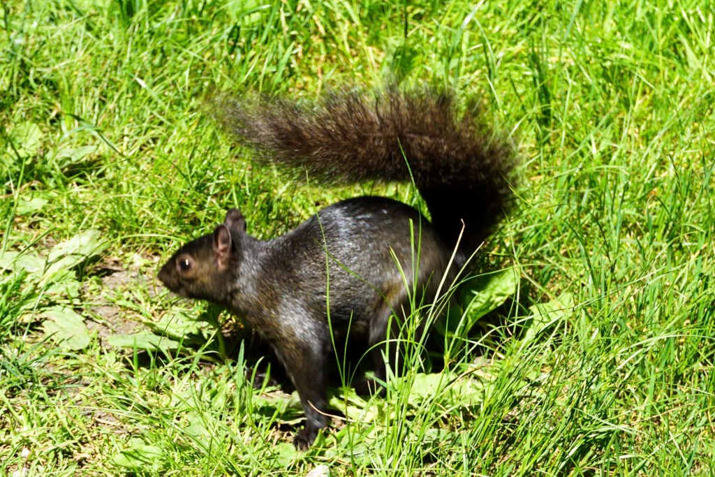
The real highlight was spotting a white squirrel. They’re not a separate species but are grey squirrels having a genetic mutation that reduces pigmentation in the fur but does not affect the eyes, unlike albinism, where there is a complete absence of melanin so the eyes are red. Apparently they are rare.
On our way back to the hotel we looked at the historic railway station, built in the Arts and Crafts style and now a designated heritage railway station.
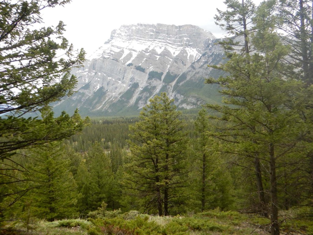
It was raining the next morning but a quick look at the weather forecast suggested we should defer our expedition up Tunnel Mountain for an hour or so as the rain would stop. The views improved as we ascended – at various points we could see the Sulphur Mountain, the town and the area near Bow River.
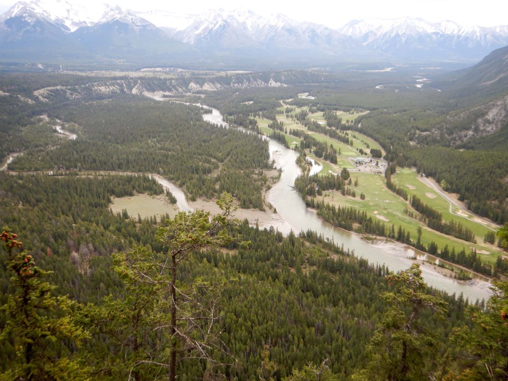
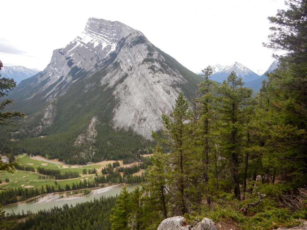
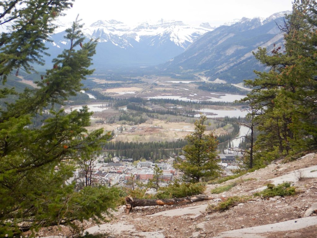
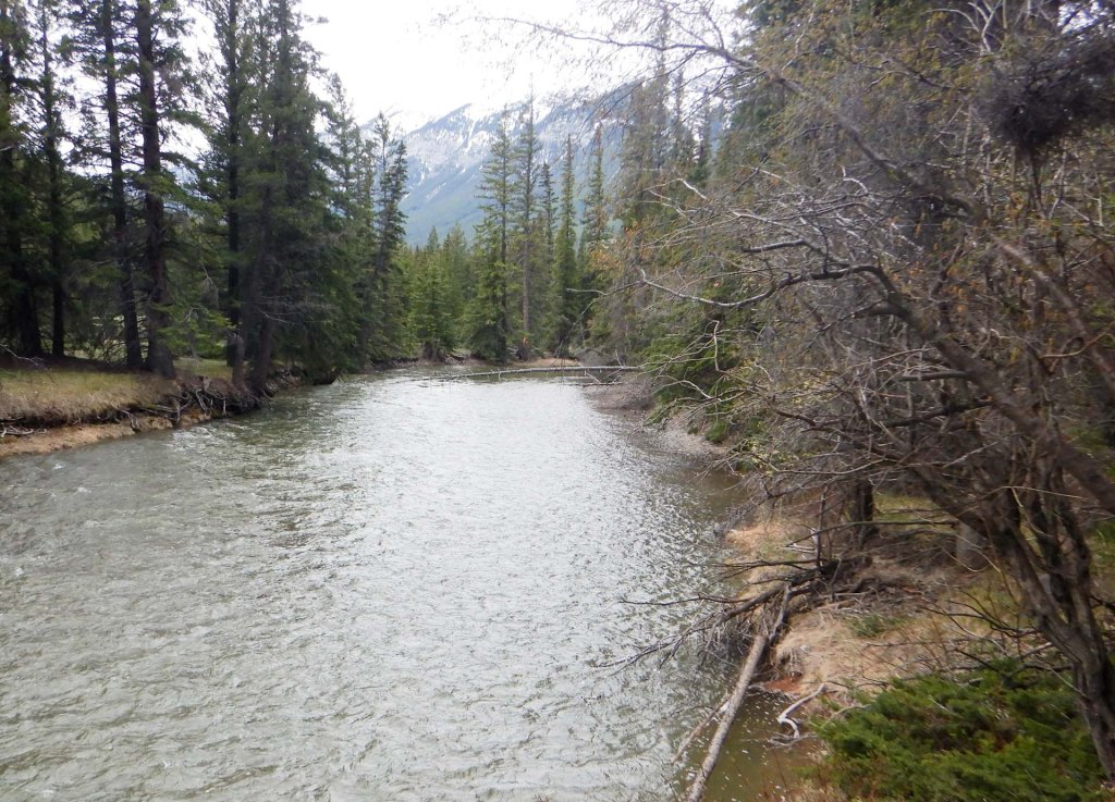
As it was possible to directly connect from Tunnel Mountain walk on to the walk to the Hoodoos Lookout, we decided to walk that route. The trail passed large Douglas Fir trees, went close to the scenic Bow River and also to steep rocky cliffs on the southern side of Tunnel Mountain which we had climbed earlier.
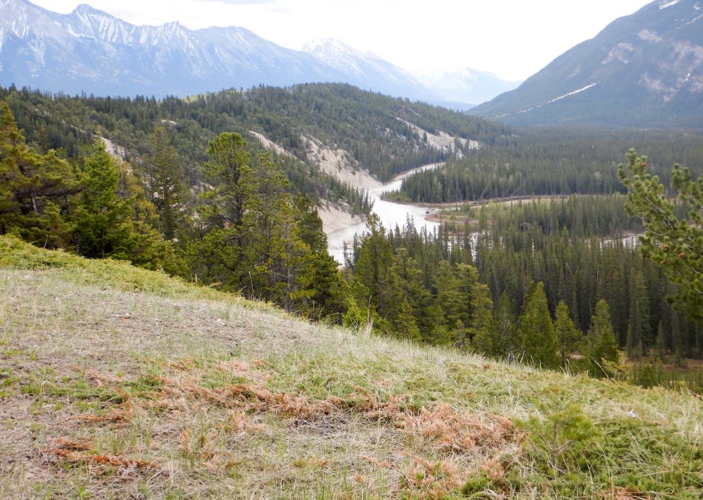
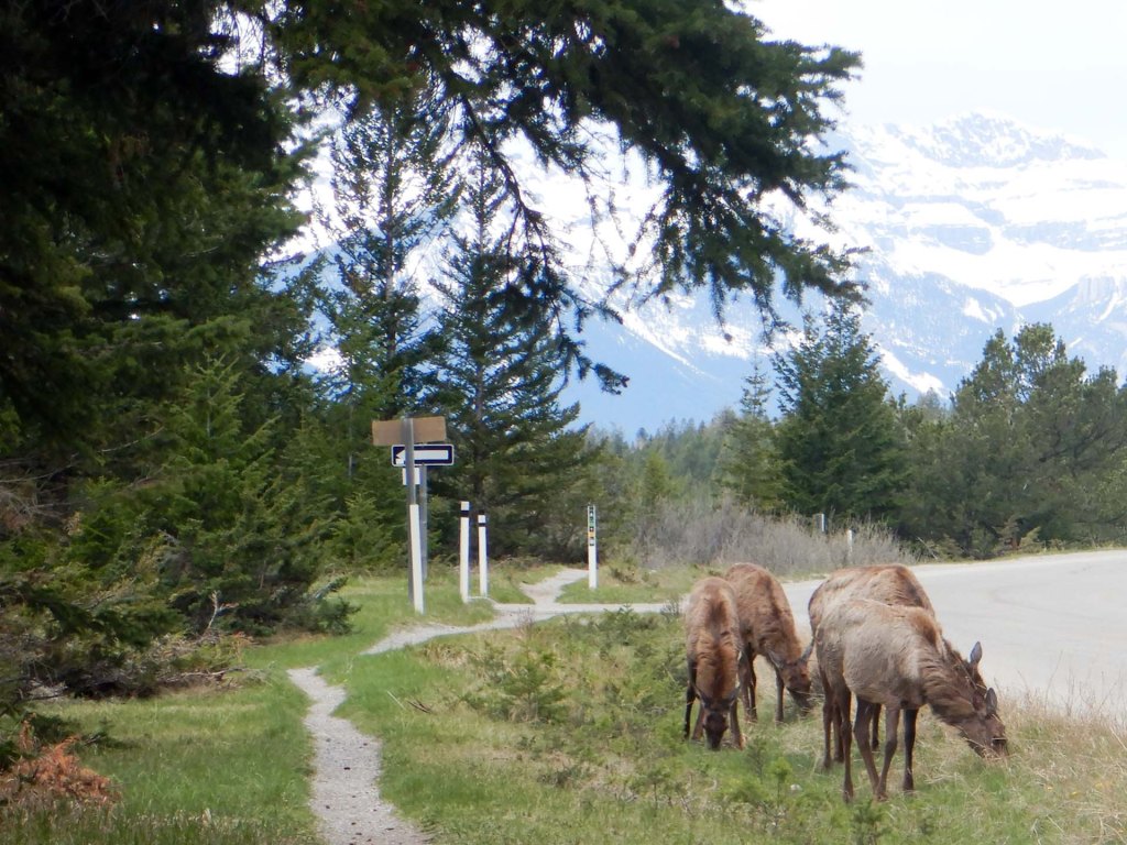
Eventually we emerged from the forest opposite part of the Tunnel Mountain Campground to see a herd of young elk from which we kept our distance. We passed a viewpoint looking over the valley but continued on to what we thought would be the best viewpoints at the end of the trail. Unfortunately this part of the trail was closed so we retraced our steps to the initial viewpoint, which was partially fenced, where we were able to sit at a picnic bench for lunch. Suddenly we realised that our area was almost totally surrounded by elk but they seemed almost unaware of our presence and the herd moved on, grazing as they went. We had been warned to be very careful if we spotted young elk calves with their mothers.
We walked part of the way back to the town, along a path next to the road but then caught a Roam bus (pass for the bus included with our hotel stay).
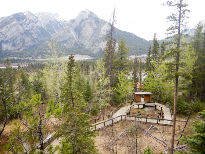
My husband wasn’t keen on walking further but I went for a walk in a different direction (with the bear spray). The Caves and Basin Historic Site visitor centre was closed but I was able to walk round the board walk above the bathing pavilion to see the cave vent and the location of the former Hotel. I saw the two smaller springs bubbling from the mountainside and the pools filled with pink bacteria, white and green algae, small fish, and insects. This is also the home of the rare Banff snail which hasn’t been found anywhere else in the World.
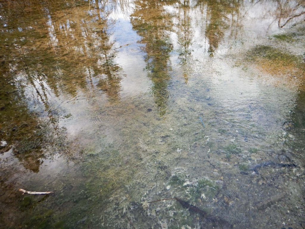
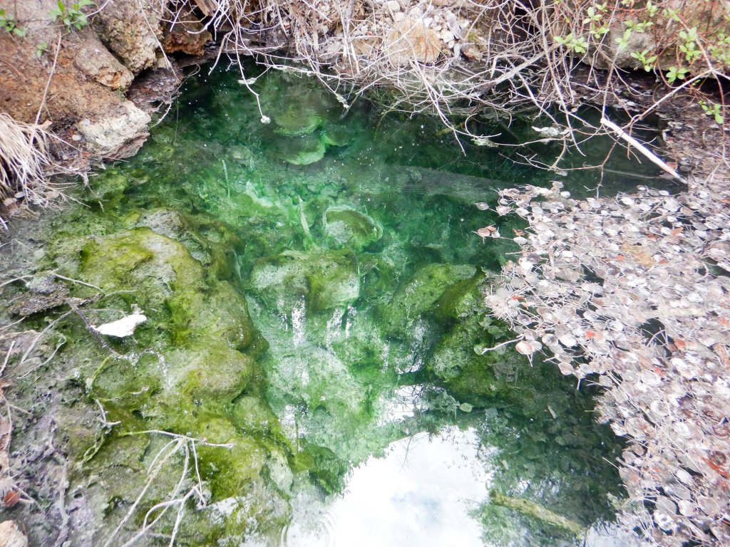
I continued on a paved walkway following the Bow River with great views over the mountains. I passed the foot of the westside route up the Sulphur Mountain and reached the end of the paved section where the route changes to a footpath to view the Sundance Canyon.
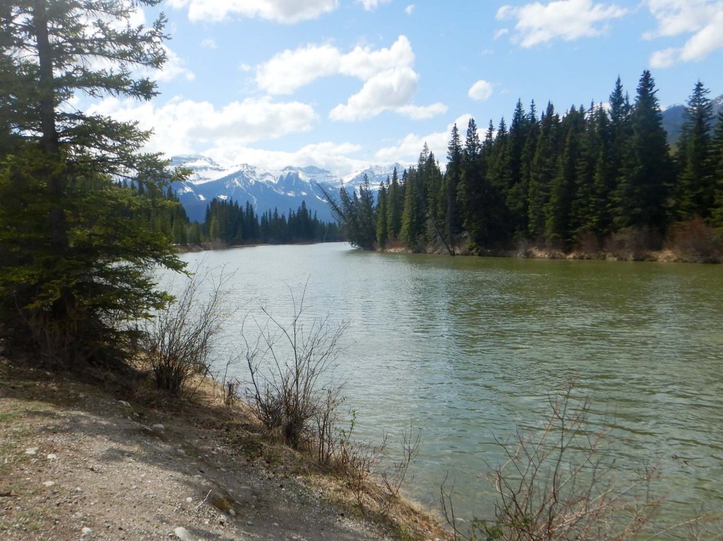
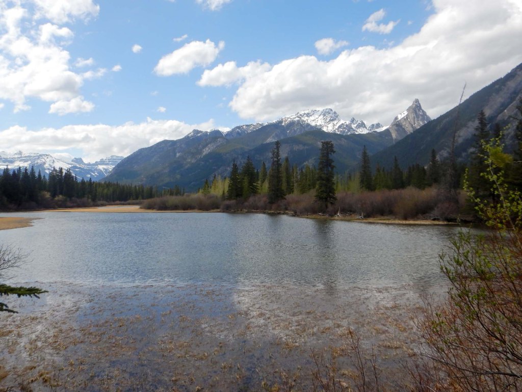
Unfortunately I arrived at a sign stating that the route was closed until the end of May, with penalties up to $25,000 for transgressors. It’s a pity as at that time of year trails are only just becoming accessible with avalanche risks on higher trails and this is one of the more challenging trails (although a short trail) which would have been safe in May.
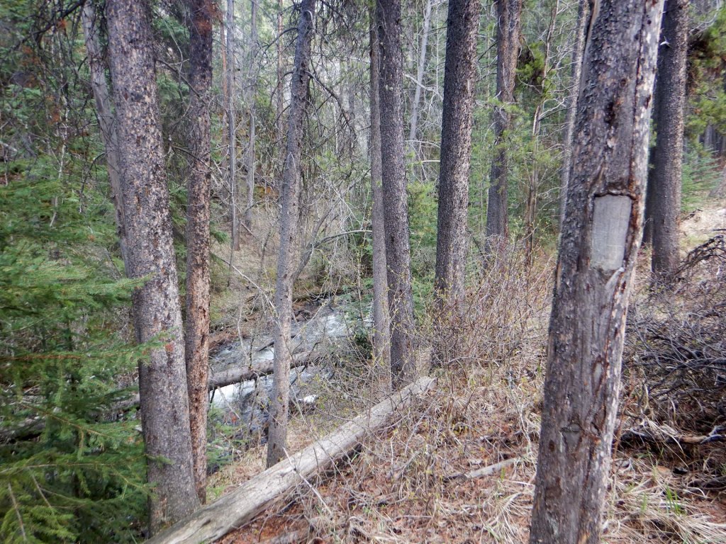
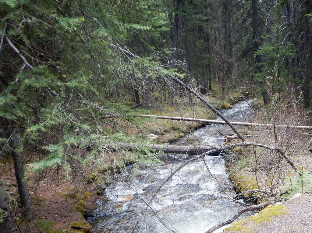
I returned the way I had come and was rewarded with even better views and stunning glass mirror like reflections in the still water.
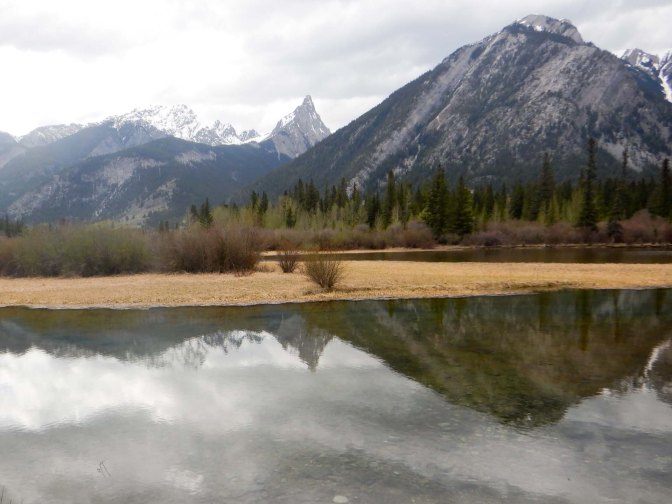
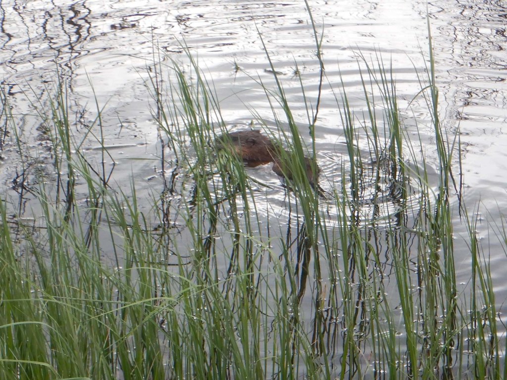
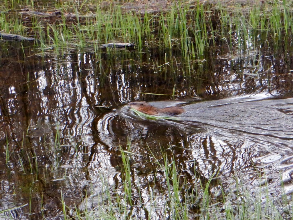
It was fortuitous that I turned off the main track to walk round the marsh loop encircling a wetland filled from hot springs flowing out of the lower slopes of Sulphur Mountain. I was very fortunate to hear a plopping sound then spot a beaver in the water as it resurfaced. The beaver went on to dive and resurface a few times while I was watching then gathered some grass in its mouth before swimming off. This was to be the only beaver that I saw on the entire visit so was certainly a highlight that partially compensated for the closure of the Sundance Canyon route.
I returned to the hotel and we went out to eat at a very pleasant restaurant with Mexican food (there seemed to be a lot of Mexican restaurants in Canada).
The next morning it was time to pack and move on by coach to Lake Louise. I decided against a possible plan I had made earlier to try to hire a bike from Banff to drop off in Lake Louise after cycling the Bow Valley Parkway, part of which is almost free of motorised vehicles at this time of year. It would have been an amazing ride but sadly there seemed to be too many risks especially cycling alone – bears, mechanical failure of the bike etc.
14 May – 16 May Lake Louise
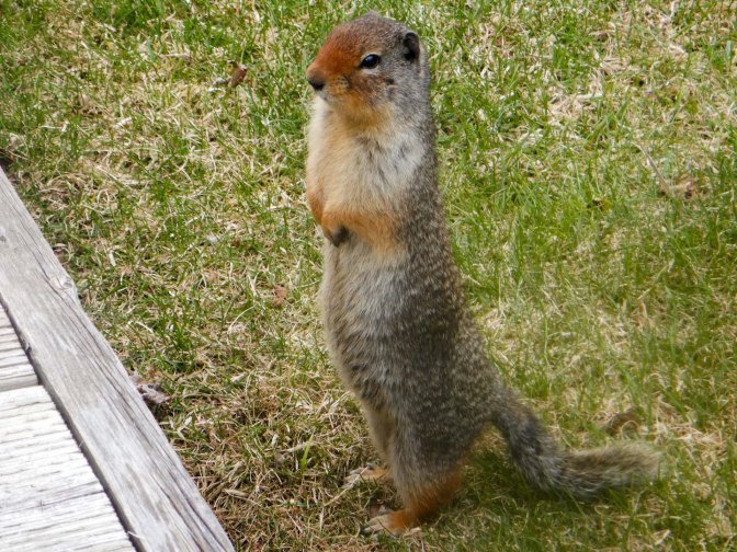
We spent our arrival day doing our washing at the hotel launderette and playing crazy golf before wandering round Lake Louise Town, chatting to the helpful parks staff in the information centre, exploring the area near the heritage railway station, photographing many Columbian ground squirrels when they emerged from their burrows and generally finding our bearings.
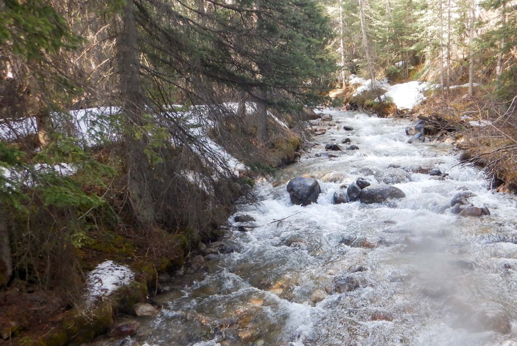
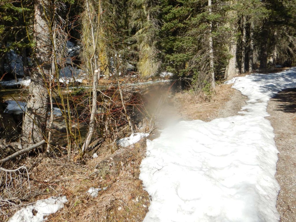
The next morning on a cloudy day with some sun, we set off on foot to the lake itself along the Louise Creek route. It was mainly uphill alongside a pleasant stream and through forest. Some patches of snow on the ground meant my trekking poles were helpful. Apart from cars at road crossings, the route was deserted.
This changed completely once we reached the huge coach and car parks near the lake. There were hundreds of visitors of all nationalities. At the lakeside, people were vying for the best selfie, presumably following their achievement of walking less than a hundred metres from the car park along a surfaced path. Amazingly some individuals were sitting on a wall and striking dramatic poses such that they were at risk of falling backwards off the wall. It seems very sad to me that we have arrived at a time when the main aim of many people’s tourism is apparently to produce the best selfie to post on social media.
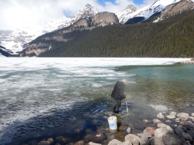
We walked a hundred metres or so along the lakeside to a less crowded area. Some young workers were picking up litter from the ice-free edge of the lake and the ground near the lakeside. We stopped to chat. One of them showed us a large amount of litter he had collected in only ten minutes and commented that there are many bins but people still drop litter!
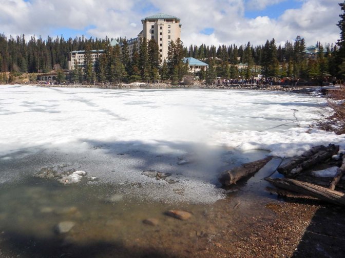
The lake is indeed very picturesque nestled between mountains.
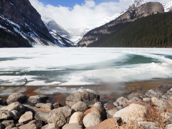
We decided to walk on the Lake Louise foreshore route allowing excellent views of the lake and looking back to the huge lakeside Fairmont Chateau Lake Louise Hotel. In the nineteenth century, affluent guests took the train to Lake Louise village then a tram to the hotel. Swiss climbing guides were employed to take guests on walks and climbs. Reaching the end of the foreshore walk, there was advice not to venture on to the branching paths such as the Agnes Tea House because of avalanche risk at this time of year, hence we returned on the same route.
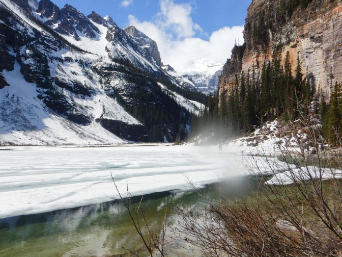
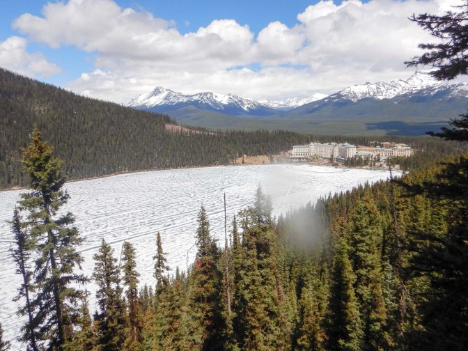
We climbed on a snow-covered path to the Fairview Lookout. It’s a short but steep hike with 100m of ascent made more difficult by the snow but offers a very different view of both the lake partially covered with gradually melting ice and the historic Fairmont Chateau Lake Louise. There’s actually little to see until the final moment reaching the viewing platform – and it was definitely worthwhile. Everybody attempting this route appeared to be well equipped with good walking shoes or boots and wasn’t trying to get the best selfies – even though in the conditions it felt like an achievement to reach the viewing platform.
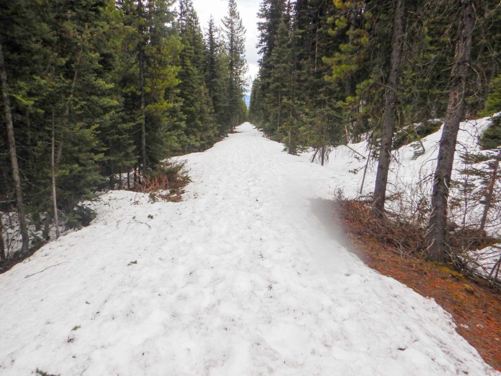
Having descended back to the crowded foreshore, we headed for a different walk back to the village along the former route of the tramway (1912 to 1930). In its upper parts, the path was a real snow trap and it was hard work trudging through soft snow. We met a couple heading towards the lake on foot and two women staying at the hotel for a murder mystery weekend who had borrowed bikes from the hotel and attempting to cycle up.
I decided that I needed some more exercise so went to the well-equipped gym before relaxing with a quick swim and jacuzzi session.
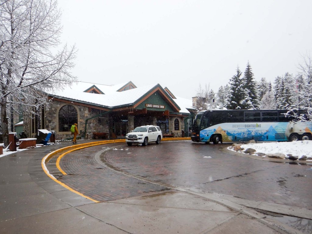
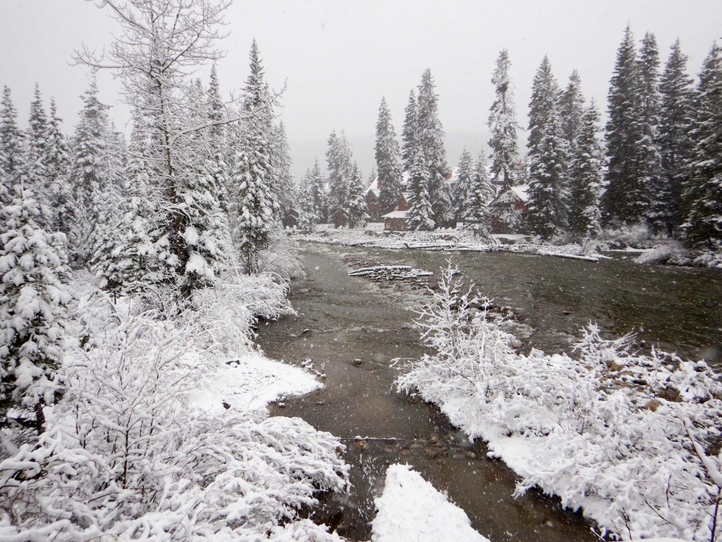
The forecast was for fresh snow overnight and my husband was concerned about our journey back to Jasper over the Icefields Parkway Road the next day. However, it didn’t snow as much as expected and there was no problem. The covering of snow was extremely picturesque although became less once we were descending from the Columbia Icefield and down into Jasper.
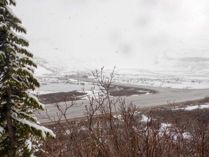
17 May – 18 May – Jasper to Prince Rupert – The Skeena
We were all set for our two day train ride to Prince Rupert, where we would be on the Pacific Coast – the town sits on Kaien Island (joined to the Canadian mainland by a bridge), in Chatham Sound, which is an inlet of the Pacific Ocean. Fortunately we were able to book our bags all the way through so only had our bare overnight necessities to carry to the hotel for the night. Unlike The Canadian, this train doesn’t run through the night.
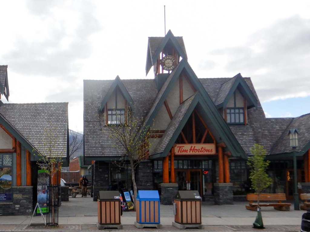
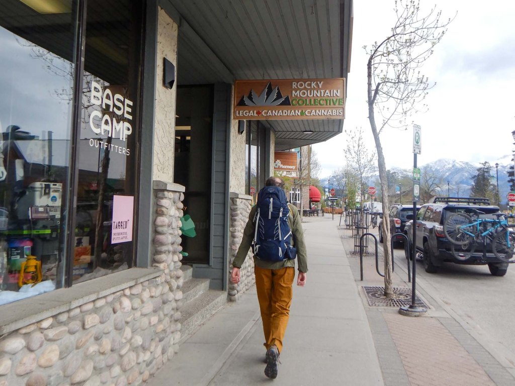
Having checked-in early we went for coffee at Tim Hortons (where else – this is Canada!) before returning to the heritage railway station. The stuffed grizzly bear behind glass was a focus of attention but there were also several historic photos including of a royal cavalcade in Jasper from 1939. Security seemed to be much less of a problem in those days.
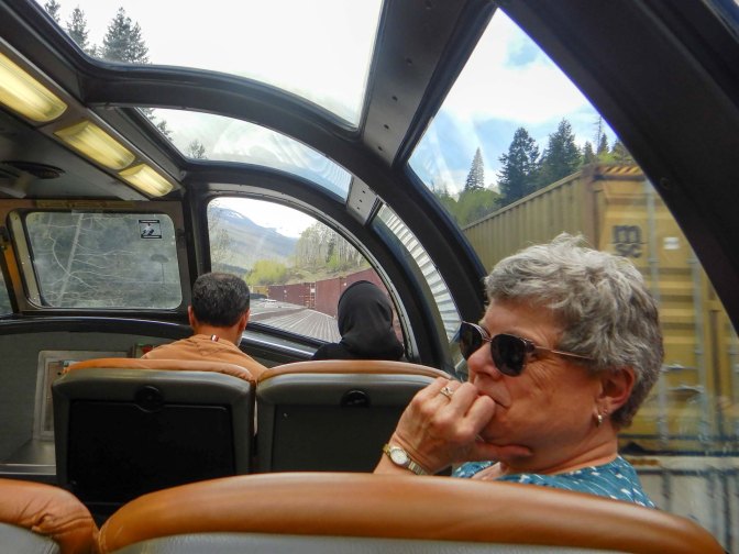
Not much longer and we were all aboard for our picturesque journey through the Canadian Rockies. The train only has an engine and three carriages – one for luggage, one for passengers where we each had our own seat and one dome car for viewing the scenery with a small catering unit below it.
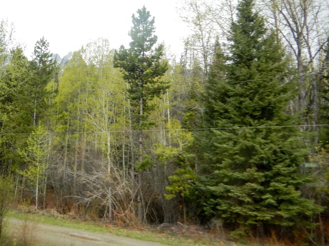
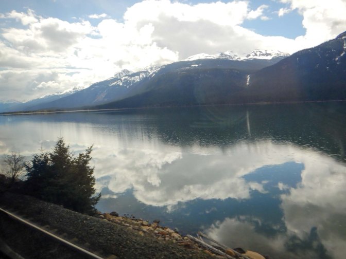
We saw huge snow capped peaks, immense smooth blue lakes with stunning reflections and of course forests – birch, aspen, fir and pine.
We crossed the Continental Divide where the time zone changes from Mountain to Pacific. The water from the Miette River eventually reaches the Arctic Ocean while that flowing towards the Fraser River ends up in the Pacific at Vancouver.
The first highlight pointed out to us by the train manager was a view of Mount Robson.
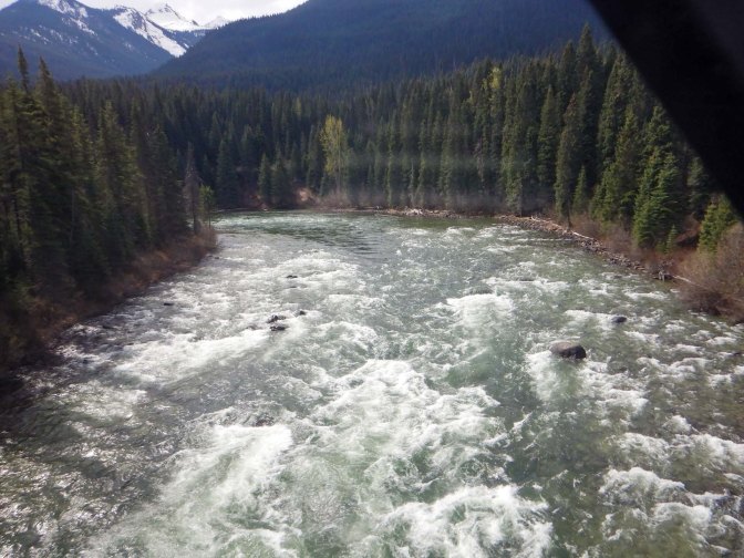
The route follows the River Fraser for over a hundred miles – actually the river is 854 miles long and the longest river within British Columbia’s borders. It’s named after explorer Simon Fraser and is the World’s most important salmon river.
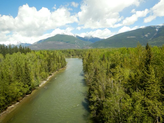
We continued to see signs of logging and the timber industry. There are many small unsealed roads and multiple level crossings so the train engine was whistling frequently. There are few scattered dwellings and even fewer small settlements. This area is very remote, but we were getting used to that in Canada.
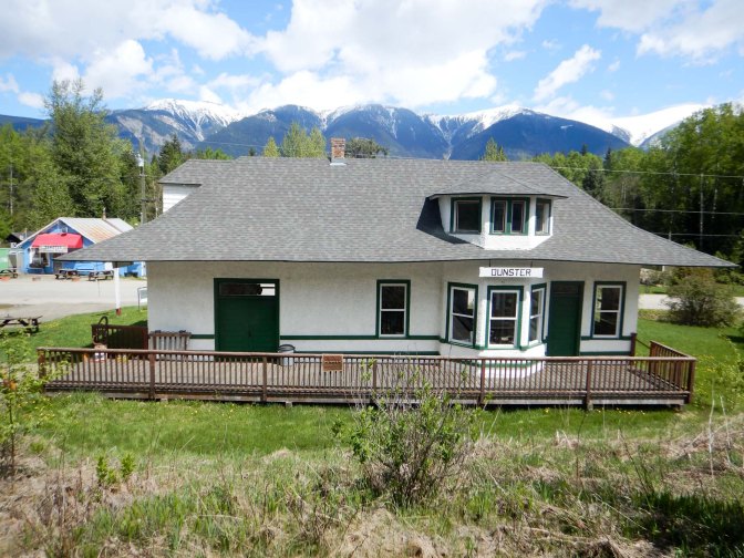
Unlike the travellers on The Canadian, nearly all our fellow passengers were Canadian; some were returning home to Prince George. At Dunster (small request station) a young family were waved off and then got off at the next stop (McBride, 20 miles further on). It seemed to be a special day trip so I guess they were collected by car driven by the man who waved them off at Dunster.
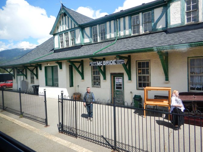
Prince George had been an important fur trading post but now it’s a major manufacturing and service centre, a transportation hub and home to the University of Northern British Columbia opened in 1994 plus with ambitions to be a tourist hub. Unfortunately it’s also a focus for homeless people, many of whom are sadly Indigenous Peoples who may have been cheated by the “system” in this and previous generations; there are associated drug and violence problems. Allegedly, people are “sent” from Vancouver (we were told by a resident we met on the train). Our hotel was fifty minutes very brisk and slightly uphill walk from the station. We arrived at reception to discover that “Downtown” isn’t safe – there had been a recent machete attack. Fortunately our walk only bordered on “Downtown” and we hadn’t seen any evidence of violence.
We walked back to the station the next morning and were relieved not to see anyone wielding a machete (at least that put us in control of the timings as a taxi could be slow to arrive and it was the only exercise we’d get all day).
There was further dramatic scenery as we followed near the Nechako River (a major tributary of the Fraser) for almost 110 miles. We passed yet more forests and lakes, more mountains with some snow and a lot of very long freight trains snaking from east to west. These made us increasingly late as of course as usual they had priority.
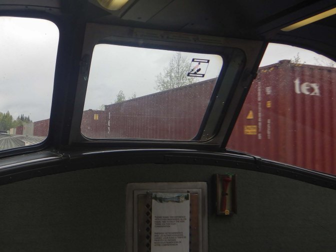
Fraser Lake is a resting point for migratory birds and a huge source of fish – rainbow trout, lake trout, cod and char. Fraser Lake Community is the temporary home for thousands of trumpeter swans twice a year on their migrations. Molybdenum mines and a large sawmill are the main employers.
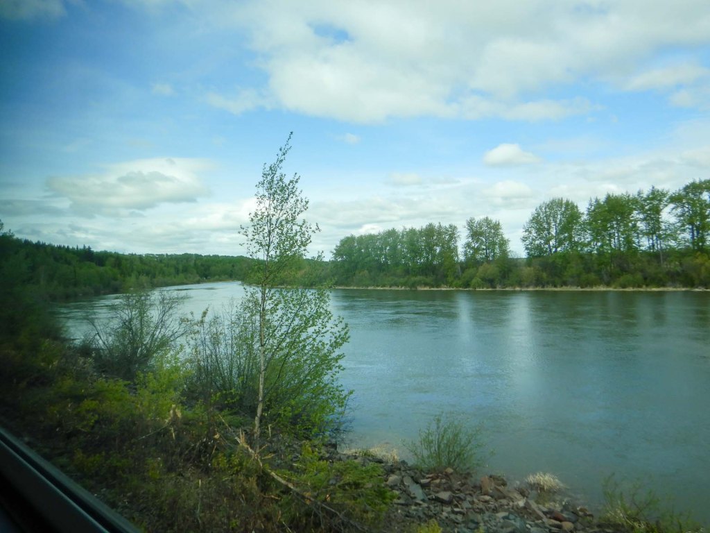
Houston is known as the “Steelhead Capital of the World” and we passed a sculpture of a steelhead trout in a fountain in the park – too quickly to take a photograph.
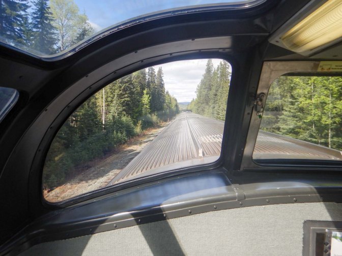
Near Hudson Bay Mountain, there were views of a glacier.
We also saw lots of yellow flowers that looked like lilies – no one appeared to know what they were but later we realised they are skunk cabbage – good food for bears.
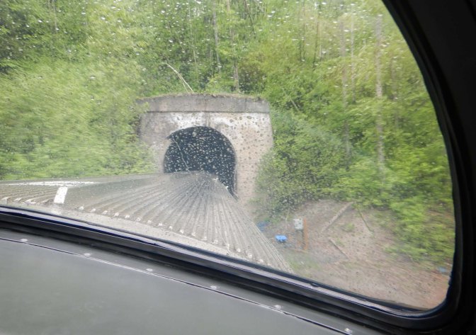
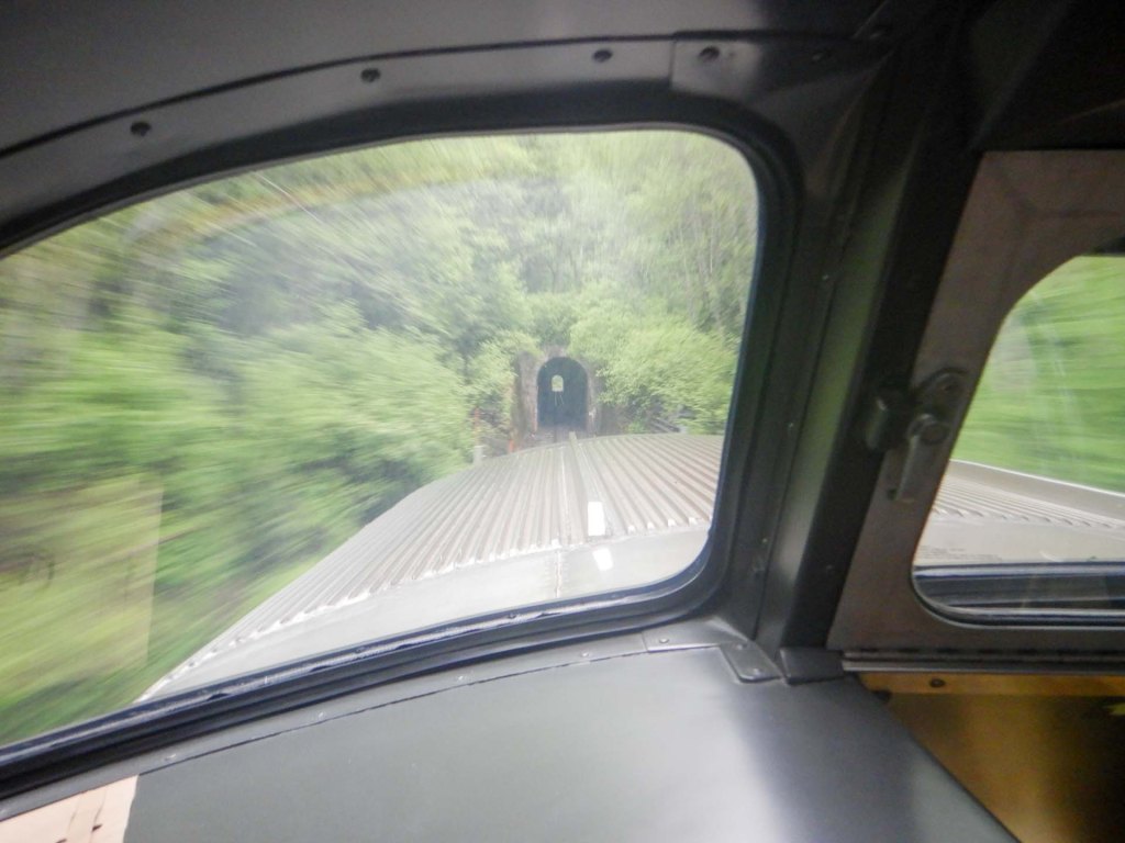
We saw some historic trestle bridges and passed through canyons including the Bulkley Canyon with three tunnels, the longest being 636m.
We crossed the Skeena River where the historic 288m long bridge dates from 1912.
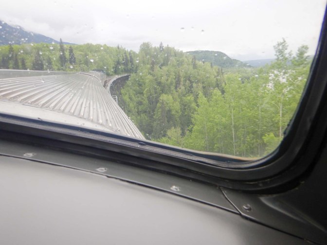
For the final 50 miles of the journey the waters were tidal as we reached the estuary of the Skeena and the Pacific Ocean.
We passed the Northern Pacific Cannery historic site – the oldest cannery on the coast of BC. – more of which later.
Eventually we were nearing the end of our long train journey and anxious to arrive, but there was sudden wave of excitement as a black bear was spotted near the railway line.
Prince Rupert as aforementioned is on an island (Kaien Island) but there’s a railway and road bridge. We were relieved to discover that the train attendants ordered taxis for our journey from the station to the town – seemingly “every taxi in town” was called.
18 May – 22 May – Prince Rupert
Our full three days (four overnights) in Prince Rupert were a factor of the train and ferry timetables, but gave us plenty of time here.
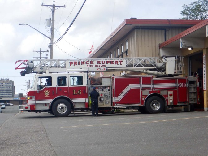
On the first morning, within minutes of leaving the hotel, we spotted a fire engine. It headed to our hotel – at least this time unlike at Toronto, we were already out of the hotel. A workman with an angle grinder had managed to cut through something he shouldn’t have cut, but effectively it was a false alarm.
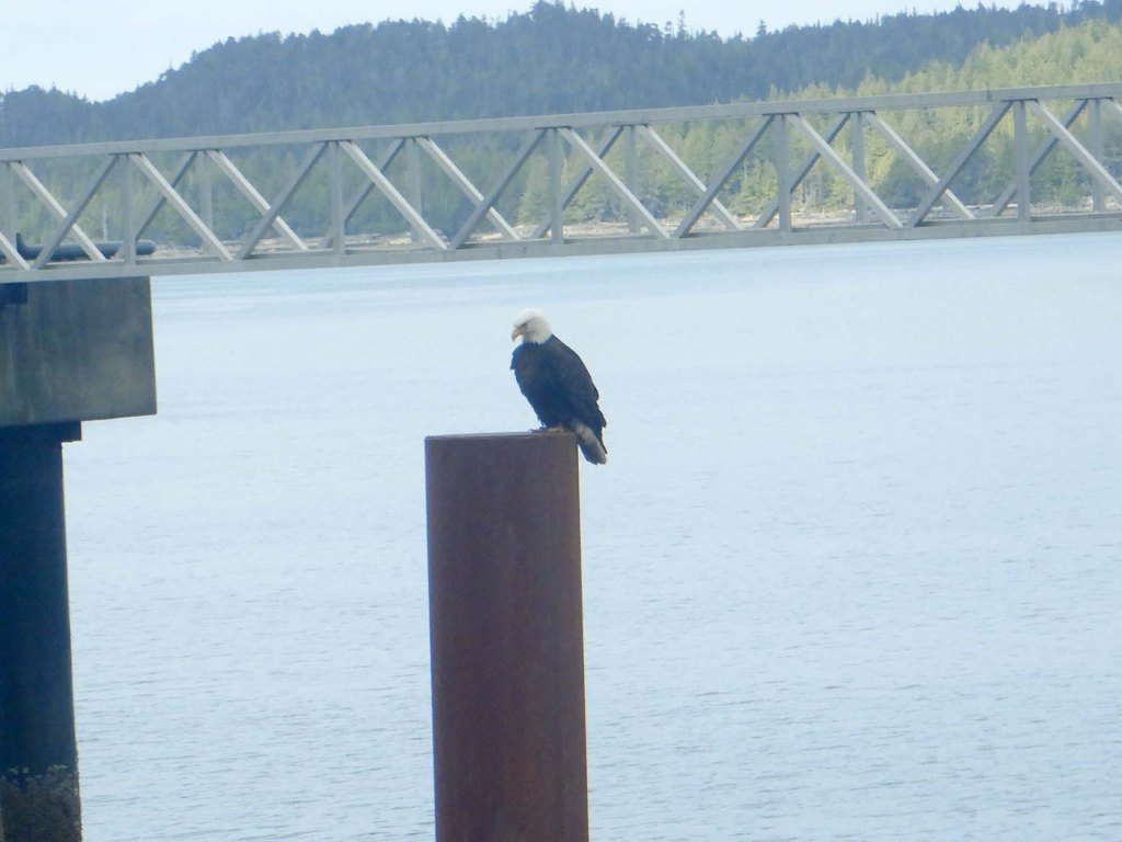
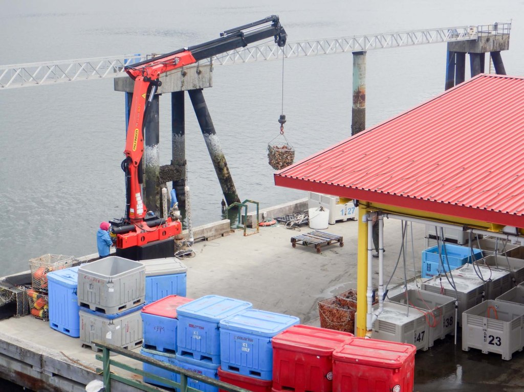
We spent the day walking round locally and points of interest included white headed eagles, skunk cabbage, salmon berries, helicopters, float planes, a reclaimed salt lake, a trestle bridge and a totem pole.
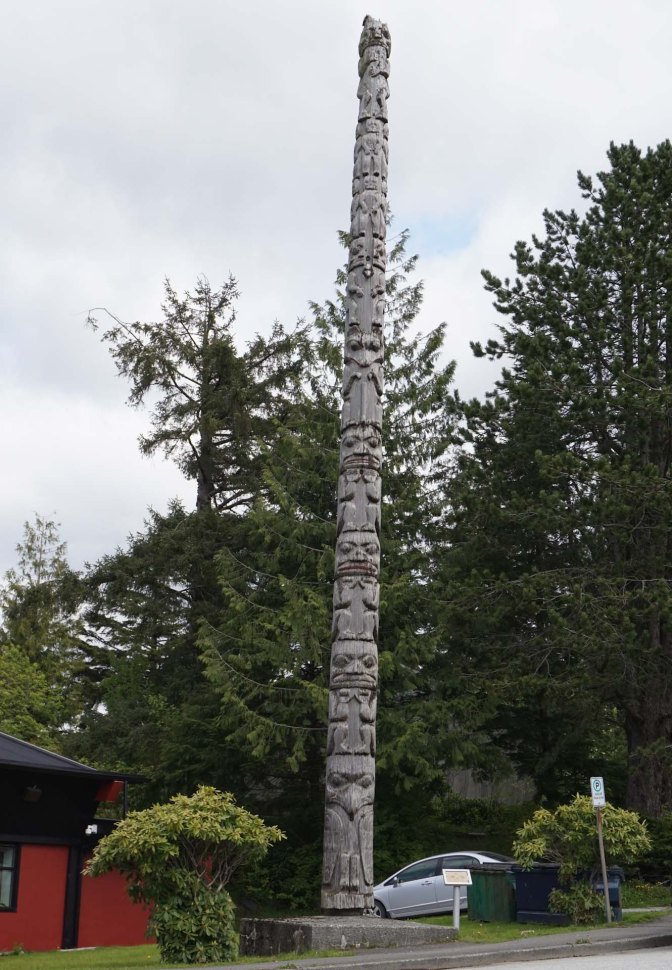
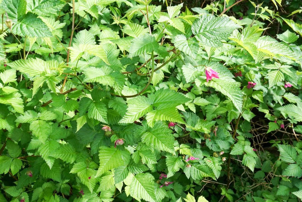
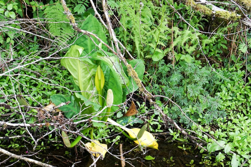
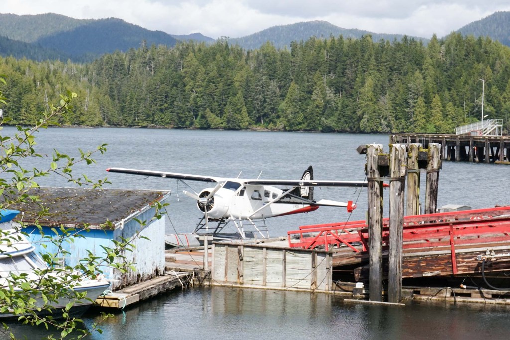
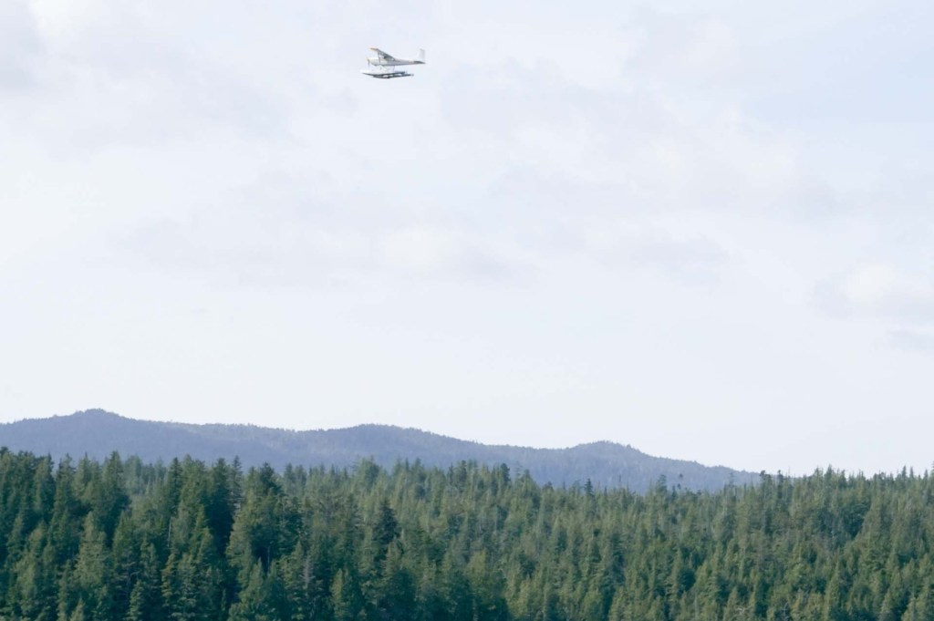
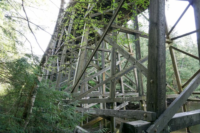
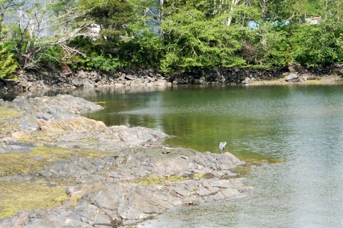
We also visited the Museum of British Columbia to learn more about the long history of the four main Indigenous Tribes – Raven, Killer Whale, Eagle and Bear; the issues these peoples encountered following the arrival of Western settlers upsetting their longstanding way-of-life; and saw many examples of Indigenous Art and Craft both historic and recent.
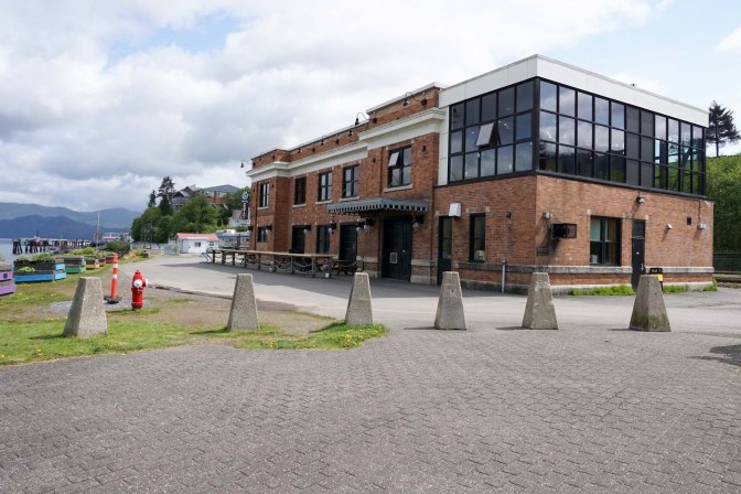
There followed dinner at the local brewery where we opted for nachos, a shared pizza, salad and a taster plank of four out of their wide selection of excellent house beers.
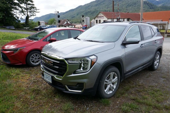
The following day, we had arranged to hire a car. Eventually after we discovered a fault involving an air bag (well a warning light lit up) on the VW allocated, we were changed to a Chevrolet with some very oddly placed controls. My husband was driving and soon got used to it. Meanwhile I was keeping a sharp eye out to spot any pedestrians who looked as though they wanted to cross the road as we had noticed how often traffic had stopped for us when we wanted to cross roads.
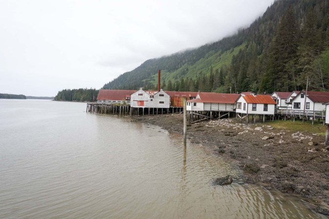
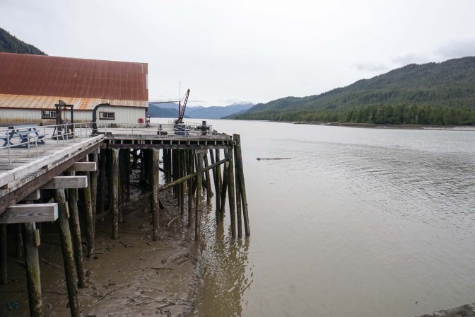
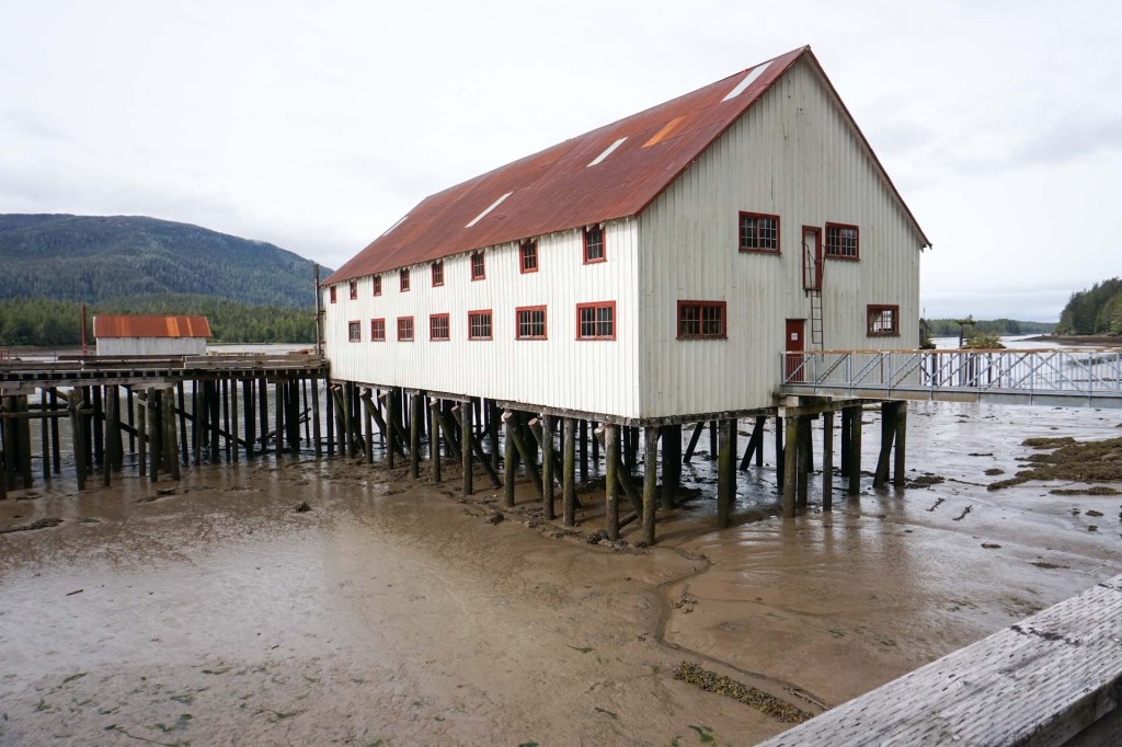
We drove to Port Edward and on to the mainland over the road bridge. Our destination was the aforementioned North Pacific Cannery, where we spent most of the day. Built in 1889, it had been a working site right up until the 1989 season before being transferred to the care of the Parks service as a National Historic Site. Many groups of people had lived and worked on the site from spring each year until the autumn before spending the rest of the year working elsewhere.
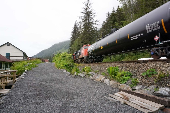
The train line was built and accommodation was moved out onto boards built up on pine stilts over the river. The lay of the land with rocks and cliffs close to the site meant there was no flat space to build inland. There were separate accommodation areas for Indigenous people (main roles fishing, net making and cleaning fish), Chinese (killing and butchering fish, making cans), Japanese (fishing, boat-building, carpenters) and Europeans (book-keepers and management).
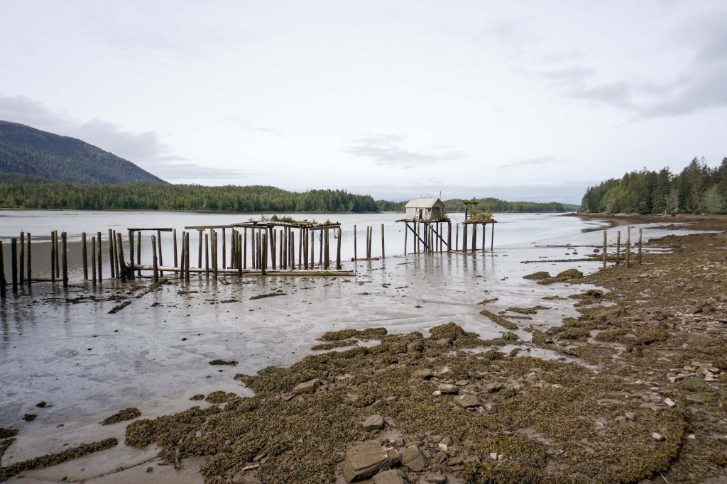
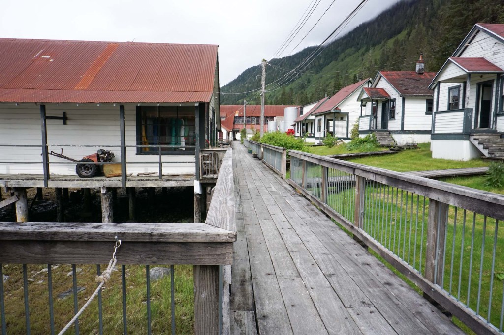
The place was effectively a village with its own company store where everyone shopped and various common rooms and areas for entertainment when not working. Many of the buildings were packed with fascinating artefacts reflecting both home and work life.
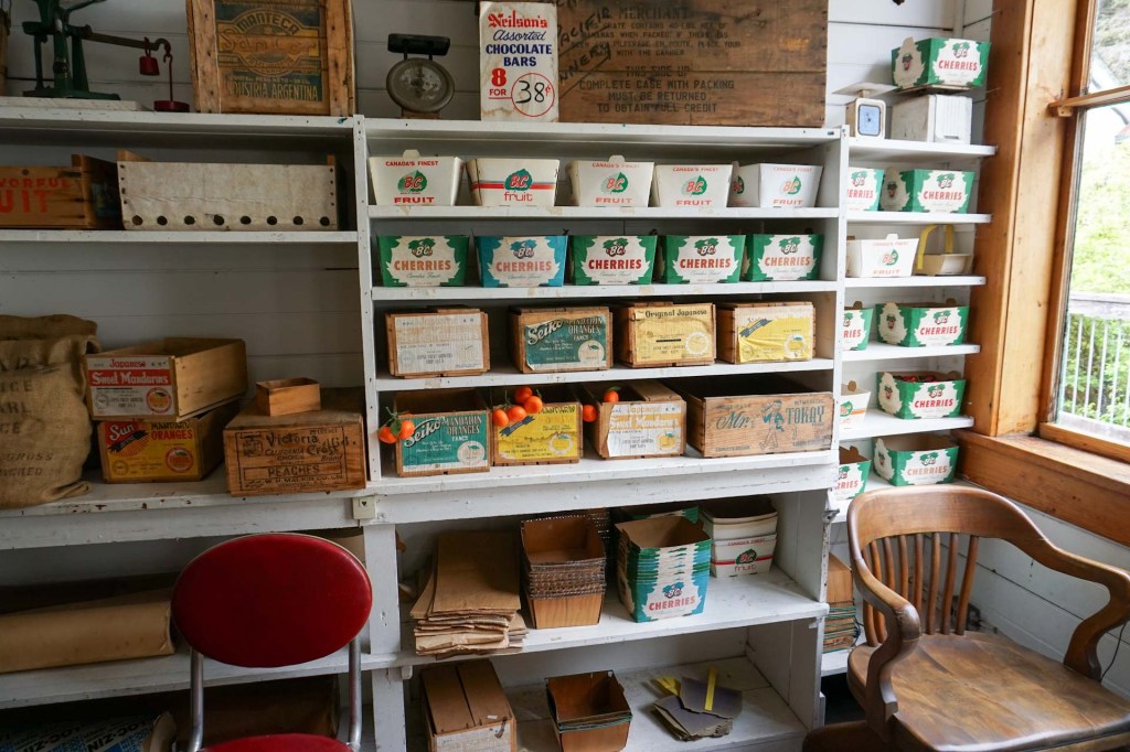
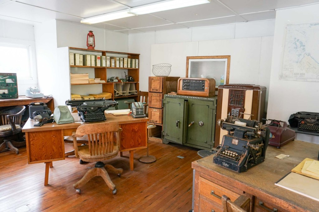
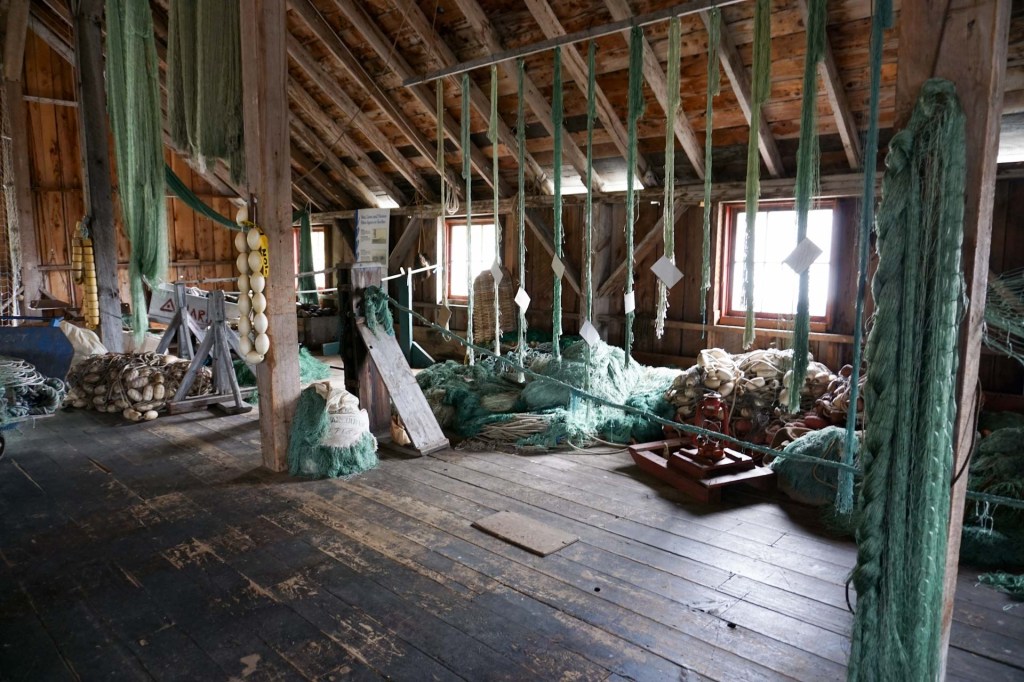
The main canning building is the original building from 1889 – the piling, foundation and walls have been replaced over the years but the timbers making up the posts, joists and ceiling rafters are all original.
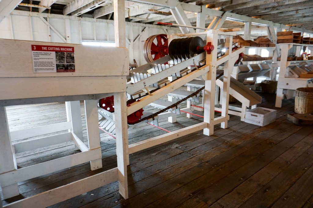
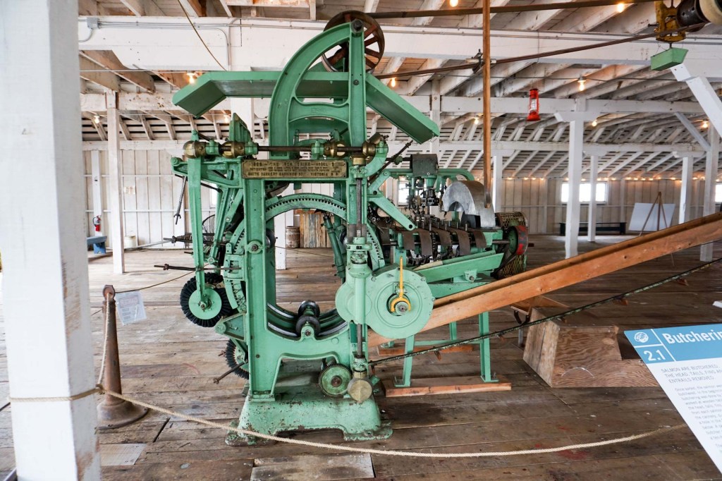
Exhibitions including photos and artefacts illustrate how the canning was done right from the early days when it was all by hand through various semi-automated processes until the whole process became automated right the way through the processing from the caught fish arriving at the building through to the tins being boxed.
Eventually we had seen everything and drove further along the road alongside the Skeena River. The snow-line was still quite low. our short drive certainly gave us a taste of the remoteness of much of Canada and the distances to other places were long.
The next day was damp and rainy but it was our last day in Prince Rupert and we were keen to sample some of the local trails.
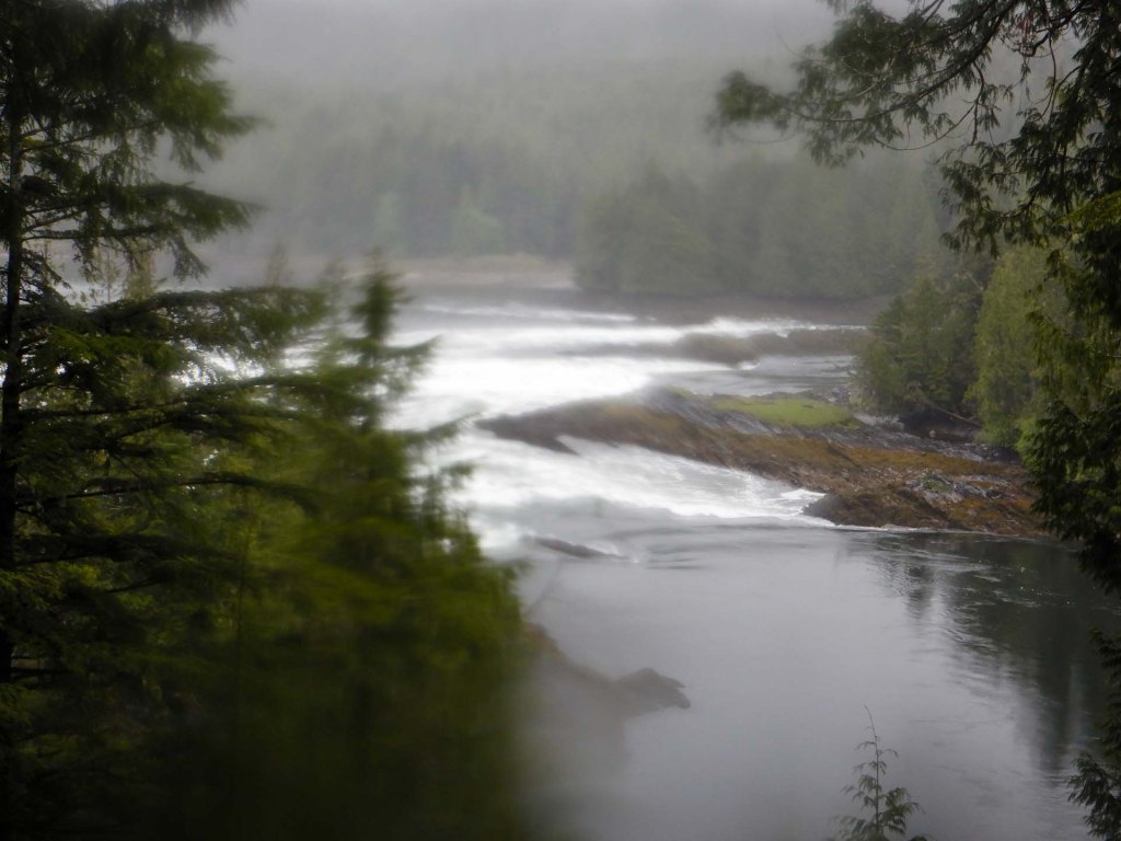
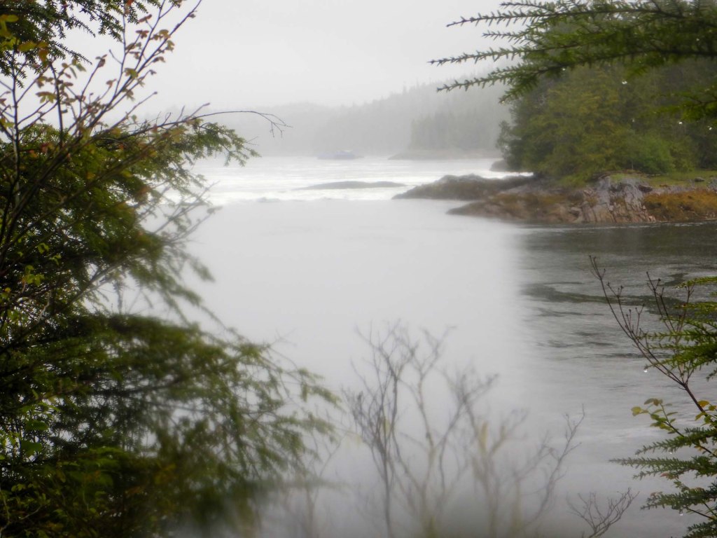
We walked from the town to the Butze Rapids with viewpoints of ocean, coastal shoreline and temperate rainforest. However the main attraction was viewing the rapids themselves with whirlpools and sink holes in the strong currents of the flowing water. The flow can reverse depending on the tide.
We also ventured up the nearby Tall Trees trail ascending through forest and crossing fast flowing streams to emerge on the mountain high above Prince Rupert and the harbour.
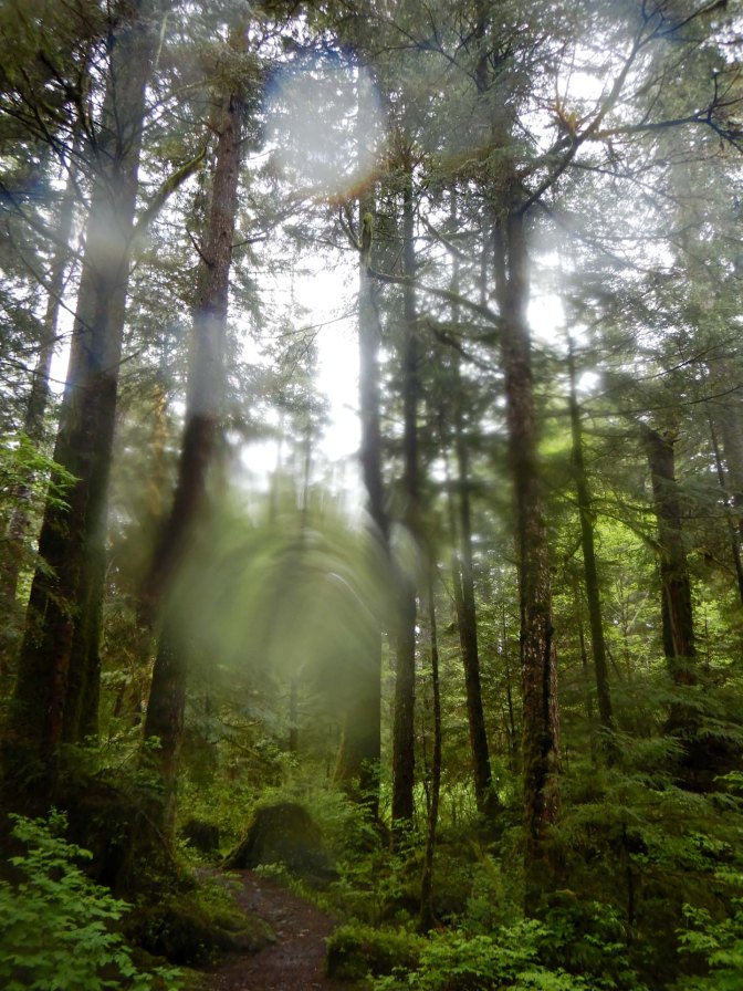
We were even high enough to see snow. Unfortunately the promised views were obscured by cloud.
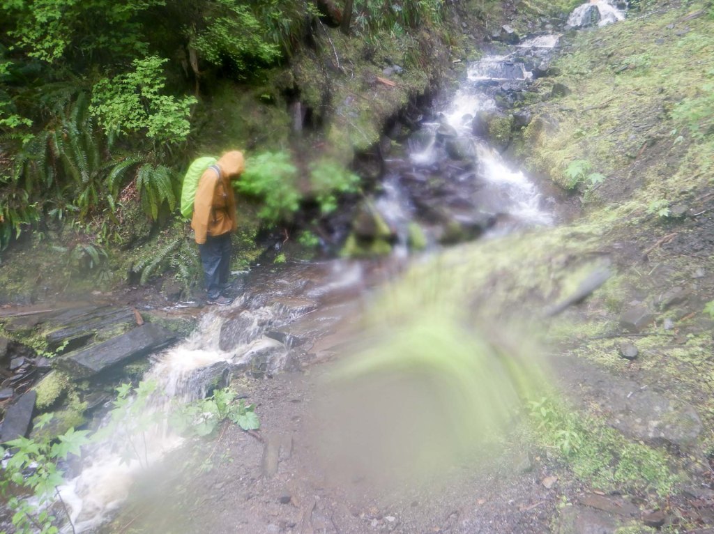
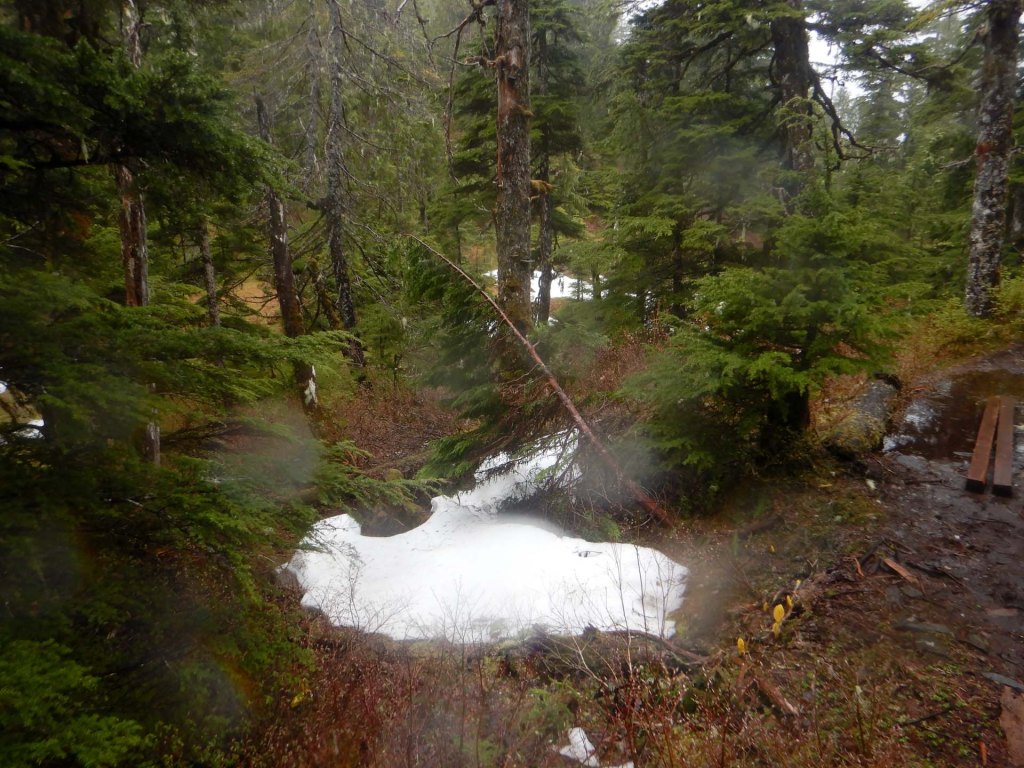
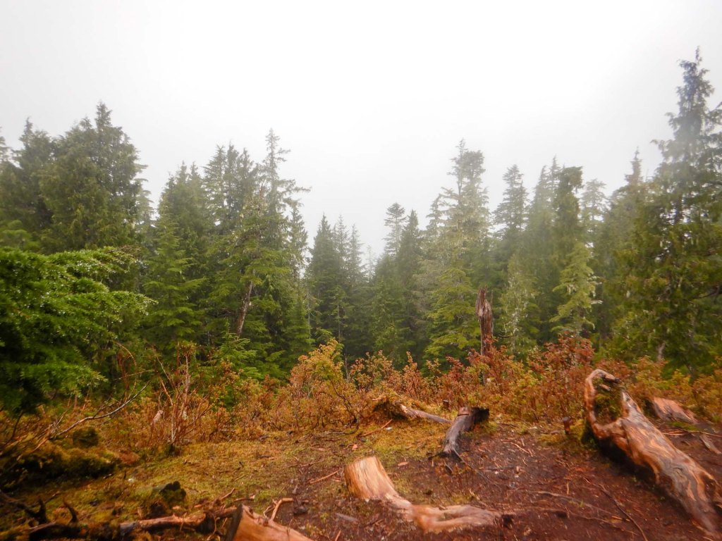
Sadly this trail seems to be falling into disrepair and the trail which I had been keen to complete (Kiwanis Trail) and would have linked back to the town from the top of the Tall Trees trail wasn’t recommended any more when I asked the lady in the tourist office about it. Hence we had to reverse our steps back down the Tall Trees Trail and return to Prince Rupert along the road.
22 May – 23 May – The Inside Passage Ferry
We arrived early at the Ferry Terminal as instructed but there was a lot of time hanging around and waiting to set sail which eventually happened at 11.30am.
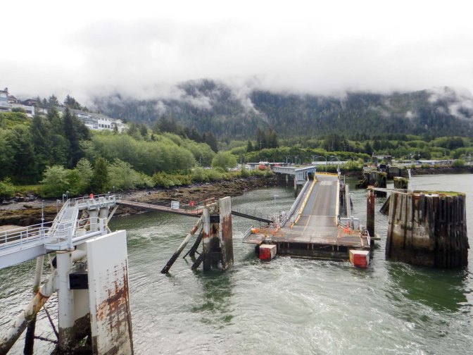
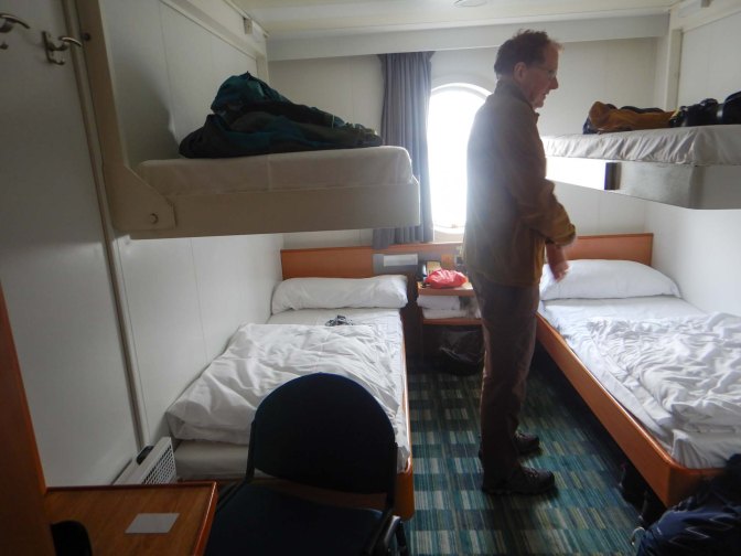
We dumped our bags in the cabin (4 berths but booked just for the two of us) and spent most of the time that day on deck.
We saw lots of white headed eagles and sea birds. Some people even spotted orcas and seals. Sadly we didn’t see any spirit bears (black bears with a certain double recessive gene that results in white fur) or indeed any other bears. Most of the hundred or so spirit bears in existence live on Princess Royal and Gribbell Islands along the rainforest coast of British Columbia. A Canadian post doc ecologist who happened to be on board explained that she thought we had a chance of spotting one on the coastline. We also saw loads of beautiful scenery including waterfalls and towering steep-sided fjords.
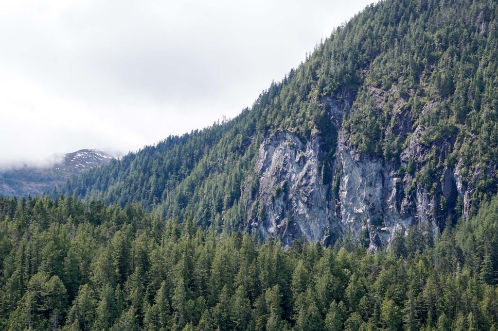
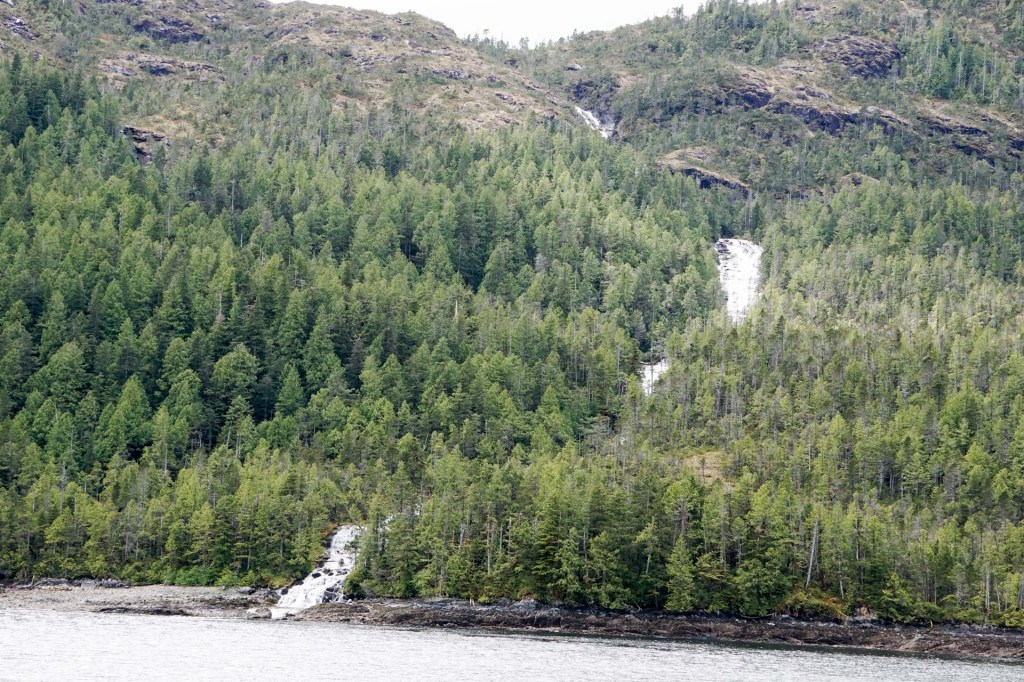
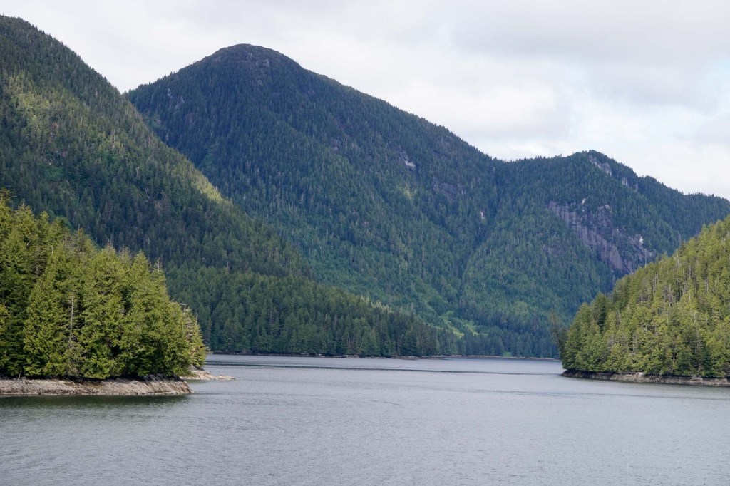
We passed through the dramatic Grenville Channel with shoreline at close range on each side of the boat.
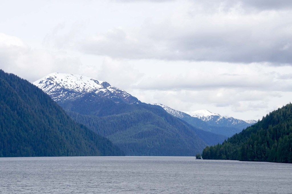
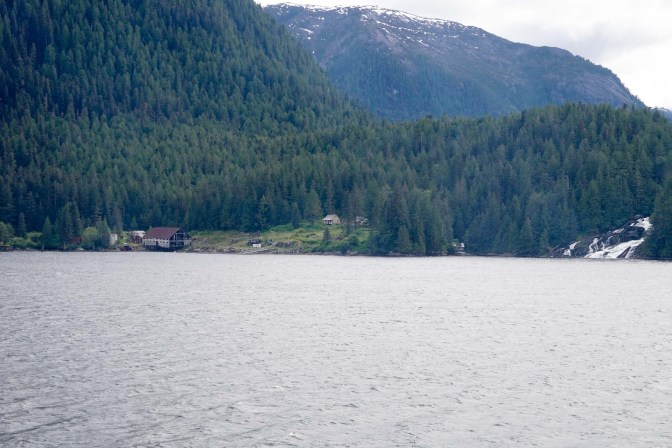
We passed a disused on-shore fish processing station.
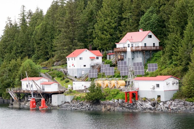
We sailed past scenic lighthouses.
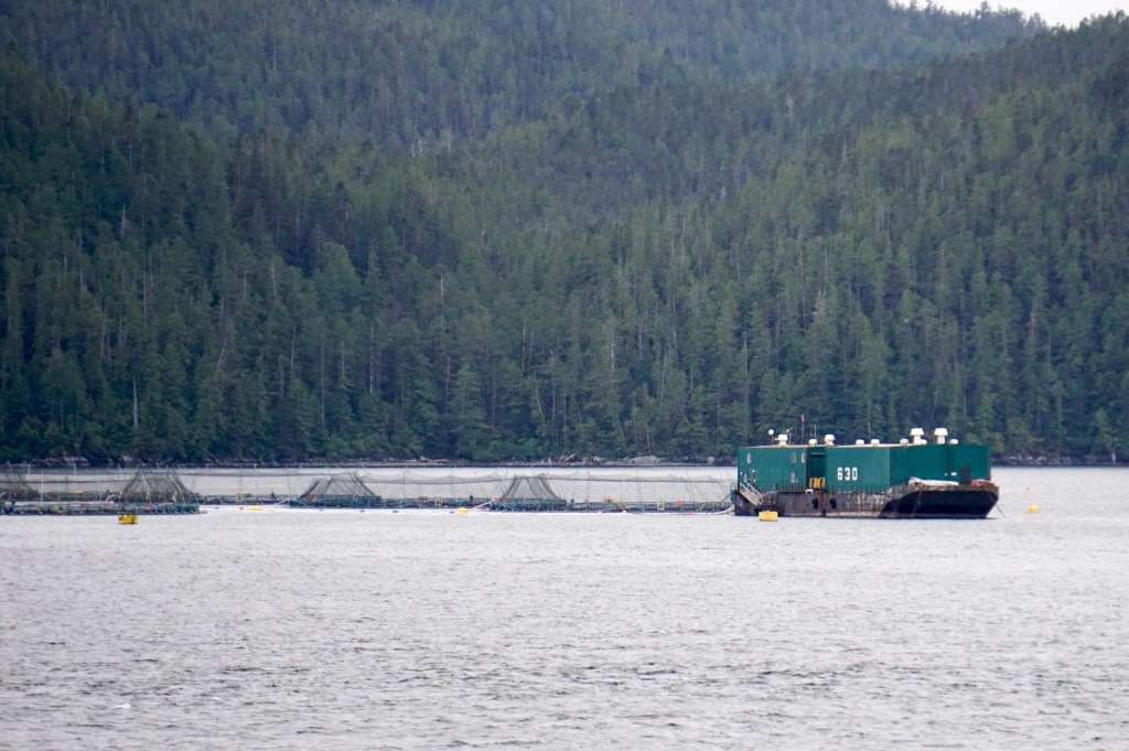
We passed a salmon farm and an Indigenous person on the boat told me he had worked there in the past. He spotted his uncle in a small boat near the shore.
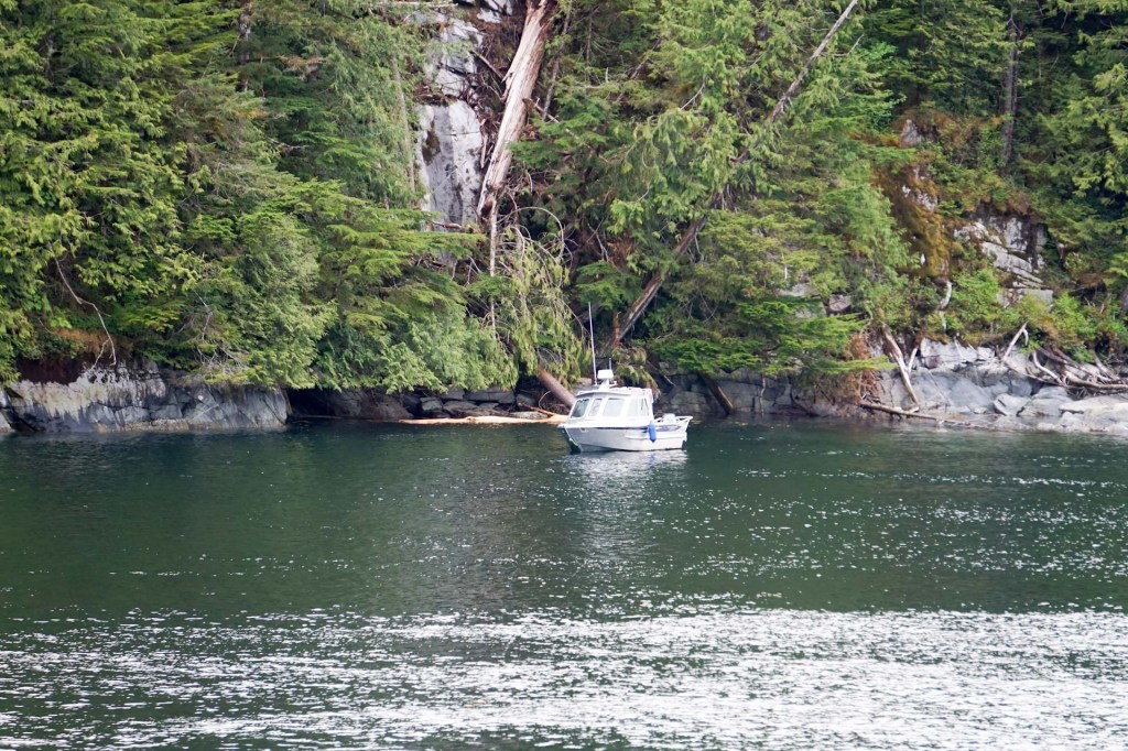
Soon afterwards he left the boat at a small island stop – he explained that his People have been guardians of the island since time immemorial.
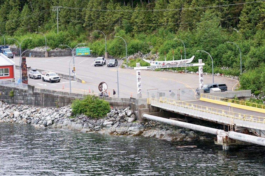
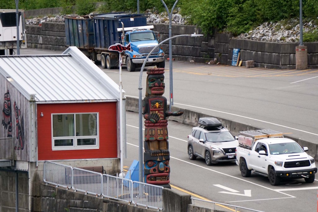
Soon after our stop, it was time for bed but we were up and about early the next morning to grab breakfast and then enjoy the rest of the voyage as we arrived at Bear Cove close to Port Hardy on Vancouver Island.
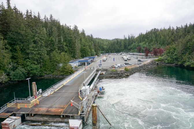
23 May 24 May – Port Hardy
We were very efficient in catching a taxi straight to our hotel: the Kwa’lilas Hotel. it is owned by Indigenous People and was named by the elders of the Gwa’Sala-Nakwaxda’xw Nation, Kwa’lilas, means a place to sleep. Celebrating the culture and traditions of the Gwa’Sala-‘Nakwaxda’xw people, there is intricate artwork created by the community’s artists. It includes a huge copper panel in the reception area but there is traditional artwork everywhere in this hotel. Much of the building has been constructed using traditional cedar. We deposited our main bags in the storage area and set off to explore since this was our only day in Port Hardy.
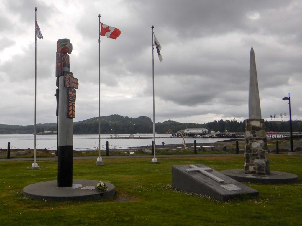
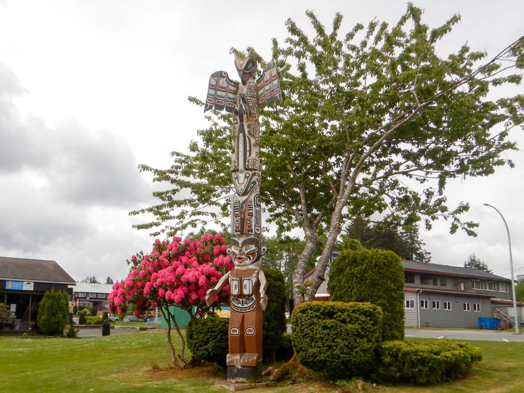
We headed for the sea front where there was a short walk with interpretive panels and a totem pole.
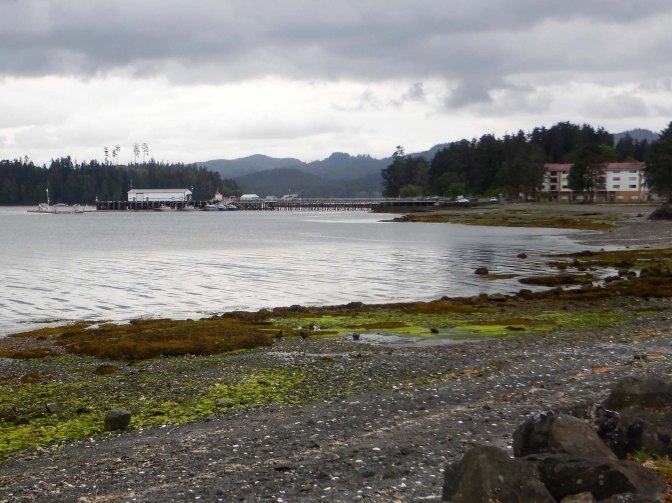
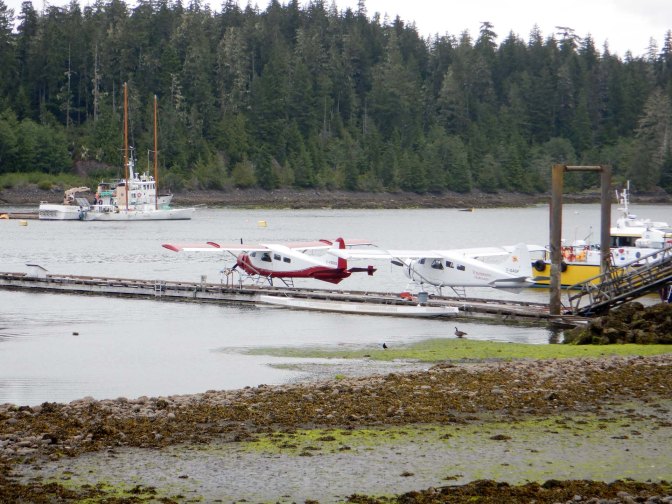
We wandered along the beach, meeting a couple who were undertaking an ecological project and were hunting for dead birds. They gave us some helpful advice about walking routes. After a coffee break, we strolled round part of the estuary trail past the seaplane base.
My husband handed over the bear spray and went back to the town to visit the local museum, while I headed further round the estuary. I branched off to follow the trail along the banks of the Quatse River, through the forest passing some culturally modified trees and reaching a salmon hatchery and interpretive centre; unfortunately it was closed. It not only hatches Coho, Pink and Chum salmon but also Steelhead Trout.
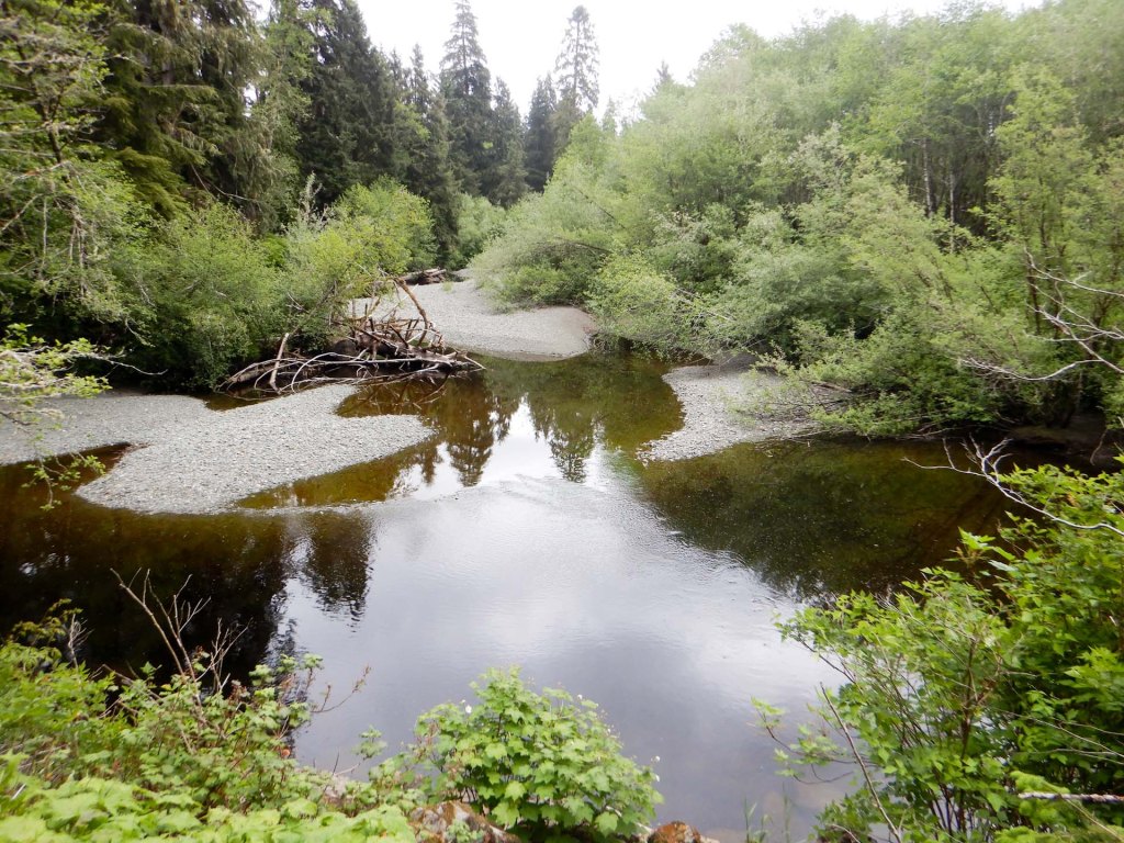

I returned round the loop passing then continued round the estuary past an ecologically important designated Wildlife Management Area consisting of estuarine/tidal marsh habitat, riparian river corridors and floodplain. It’s significant as a habitat for birds, fish and many plant species. Some of the area which has been subject to industry in the recent past is now being reclaimed to extend the area of habitat.
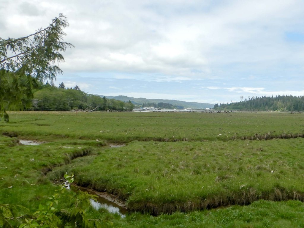
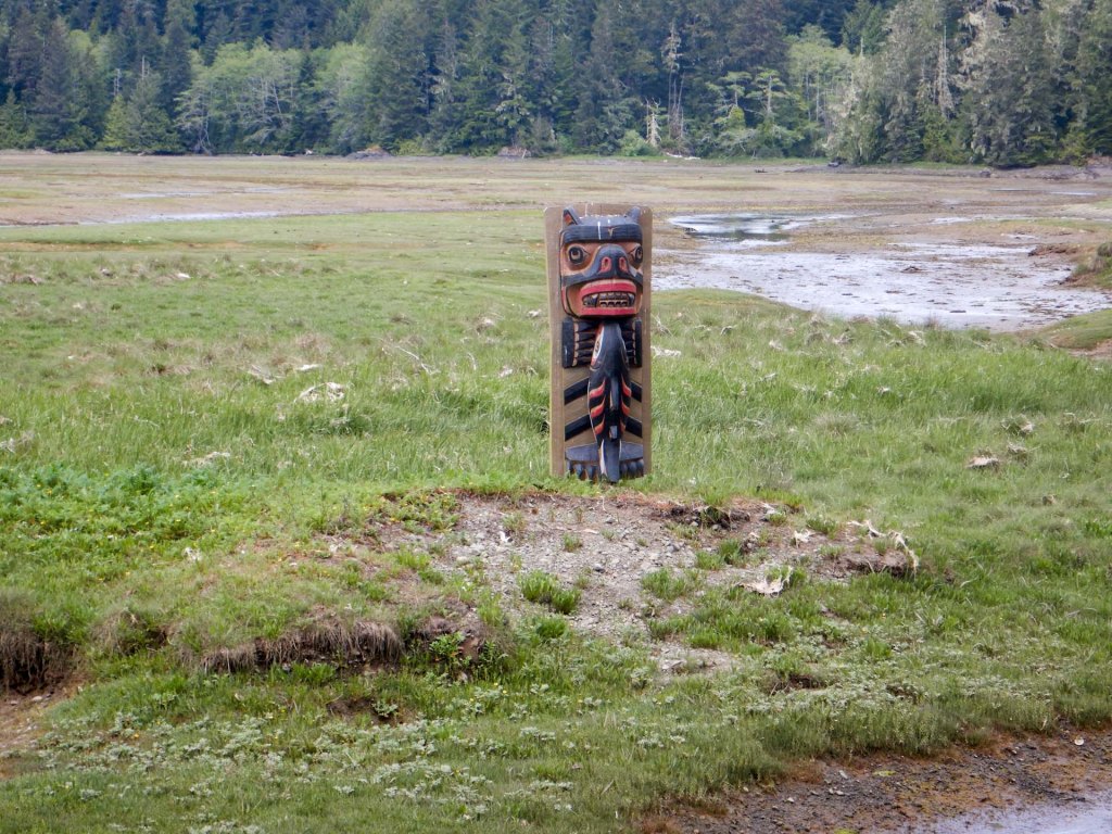
I continued on along the side of a road to eventually reach the trailhead for the Commuter Trail, an ancient route linking Bear Cove with Beaver Bay past a scenic lake. There are warnings of black bear and cougar risks but, although I kept vigilant, I didn’t see any. There are various culturally modified trees.
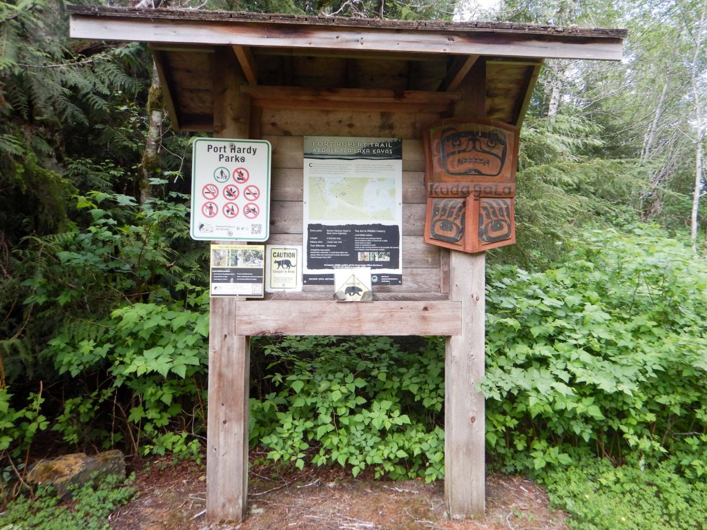
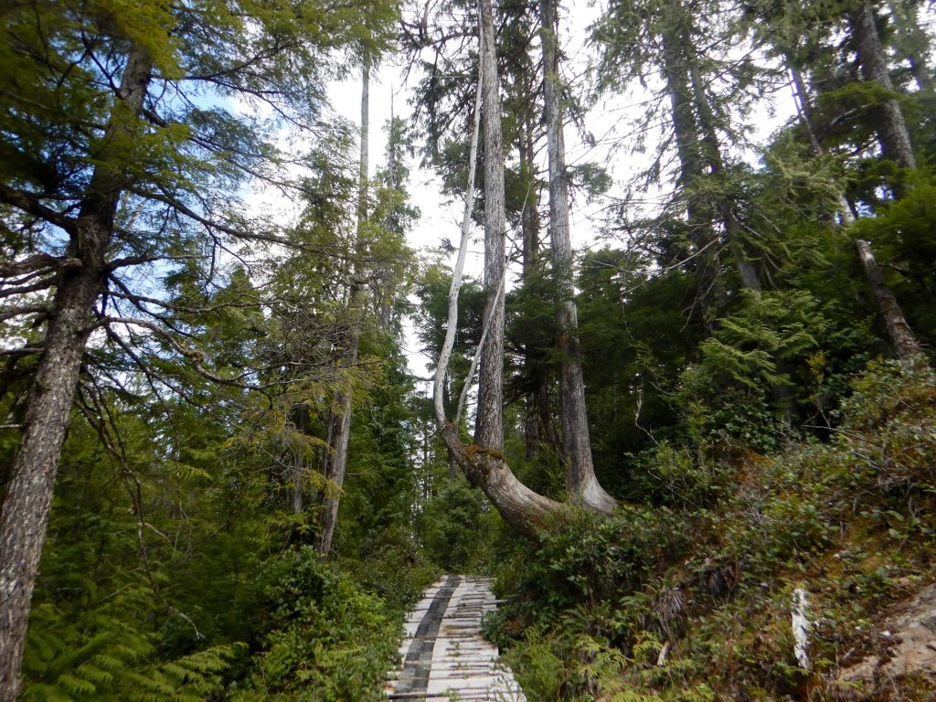
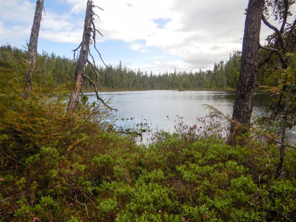
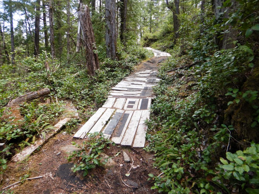
Unfortunately some parts of the path indeed appear to be falling into disrepair.
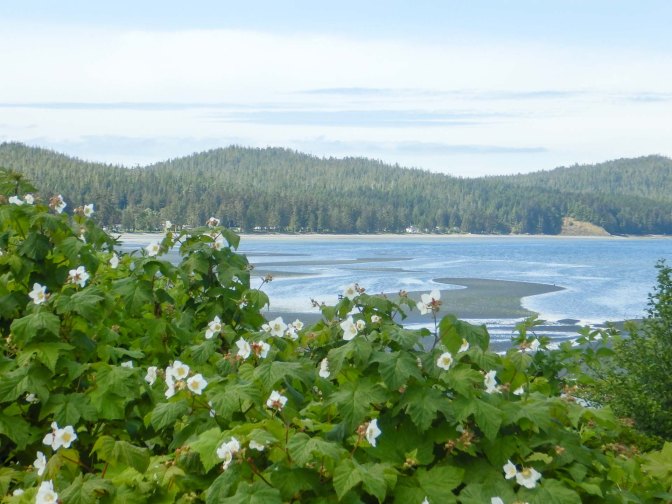
I reached Beaver Bay / Storey’s Beach without encountering any bears and decided to walk into Fort Rupert village, the site of a former fort of the Hudson Bay Company. Nowadays it’s a historic village of the Kwakiutl First Nation and I noticed a number of carved totem poles and other artwork and a graveyard with many ornate woodcarvings as I walked along the main street.
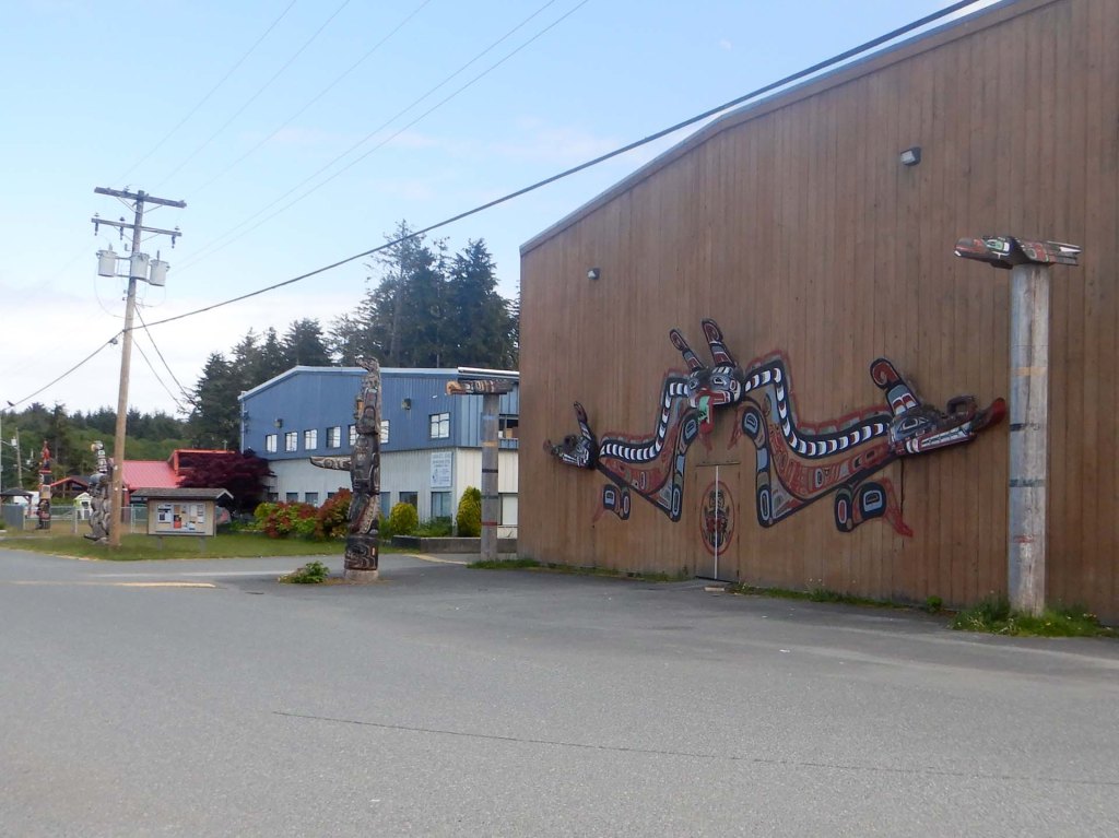

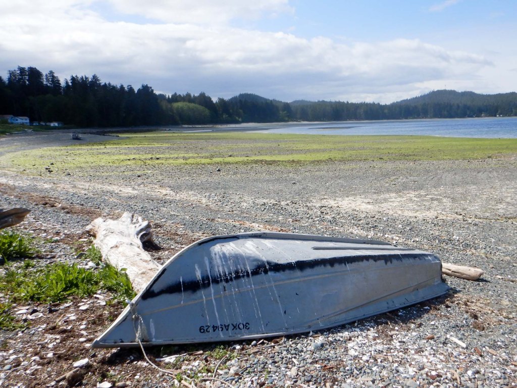
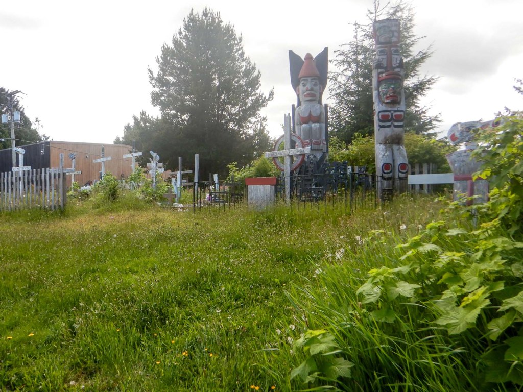
I decided not to push my luck having managed to walk the Commuter Trail safe from bears so I returned to beaver Harbour Road and walked south east towards Byng Road, noting the Budget Car Hire office as I turned the corner into Byng Road. I made rapid progress along the side of the road, including passing an enormous car scrapyard. Eventually I reached the Quatse River and was able to leave the road to walk along the trail towards Port Hardy itself.
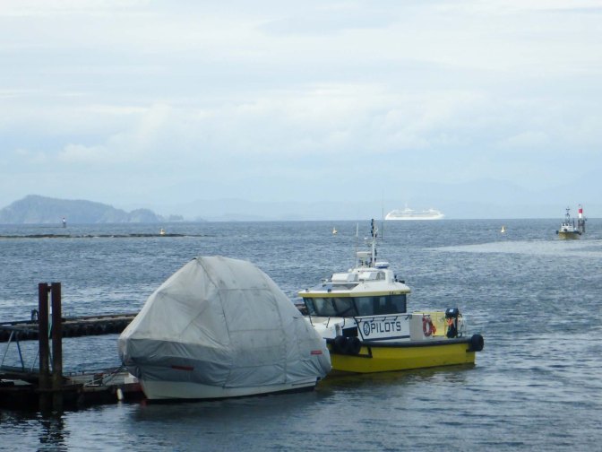
My husband had already checked in; there was lots of artwork in our room and in the corridors. There’s even an art gallery with Indigenous Art but with only the single night staying we didn’t get round to looking at it. I wished I had time to undertake the challenging one day Tex Lyon Trail with rope sections and log bridges round part of the coast north of Fort Hardy but would have needed to find a walking companion too as there would be a real risk from bears in addition to getting lost.
Next morning my husband was convinced that we needed to go to the Budget desk at the airport to collect our hire car so we duly set off in a taxi. I was concerned when we passed the Budget office I had seen the previous day but we drove on over a mile and a half further to the airport to find the desk was closed. Of course by then the taxi had already left. I volunteered to jog and speed walk up to the other office which of course was where our hire car was ready and waiting. The kind manager locked the office and we set off in his huge SUV (the seat was so high it was hard for me to climb in). We collected my husband and returned to the office to complete the paperwork and take possession of the car. It was a Chevrolet again and had an even more weird gear selector than the previous car – located on the steering wheel stick control! I was duly added as a second named driver but was relieved that I never actually got to drive the car.
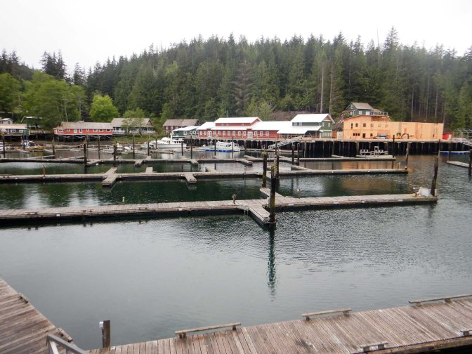
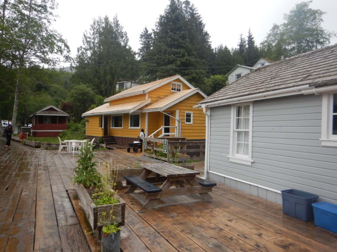
There followed a scenic drive to Campbell River with views of forest and lake. We stopped at Telegraph Cove, one of the last surviving boardwalk communities on the west coast of Vancouver Island. In 1912 it was chosen as the northern terminus for the telegraph line from Campbell River. A lumbar mill and salmon saltery followed. During the Second World War the lumber business with sawmill was requisitioned by the Royal Canadian Air Force and the wood used for building airports at Port Hardy, Coal Harbour, Bella Bella and Prince Rupert. Unfortunately in December 2024 the Cove suffered a devastating fire destroying the pub, restaurant, whale interpretive centre and tourist offices but is being rebuilt.
24 May – 26 May – Campbell River
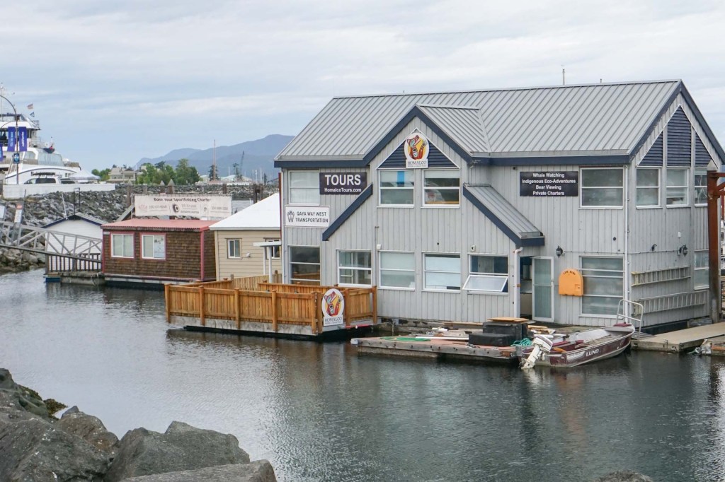
We arrived at Campbell River and headed off to the Homalco Office to check out our booked boat tour for the following day. There was some doubt about the weather but we realised it would just about fit with our itinerary if the tour was postponed by a day. Next morning the verdict was that the tour would go ahead and reassuringly the company had swapped staffing so that we had the most experienced skipper on our boat.
It all ended up being an amazing experience. Our tour guide and naturalist Deborah was extremely enthusiastic and herself a life long sailor, telling us about going off in a small boat as a child. Our skipper did well to read the sea and avoid the largest bumps. The weather perhaps wasn’t as bad as forecast – there was only rain for the first hour. We negotiated a tidal race area, The Narrows, where tidal race currents can reach 17mph – it has to be negotiated at slack tide.
We saw lots of sea eagles both in flight and perched on trees. I saw birds perched on the same tree that looked like a different species – I didn’t have opportunity to ask Deborah but having checked again it matches photos taken by others of juvenile sea eagles. Interesting that even the beak changes colour from blackish-blue to yellow from juvenile to adult.
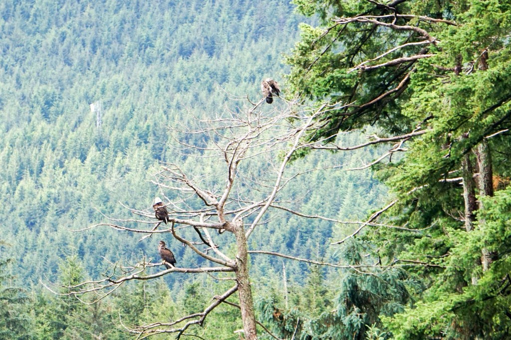
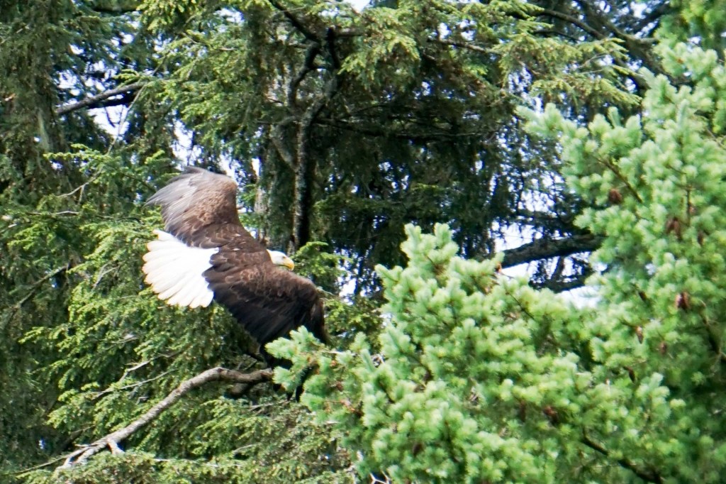
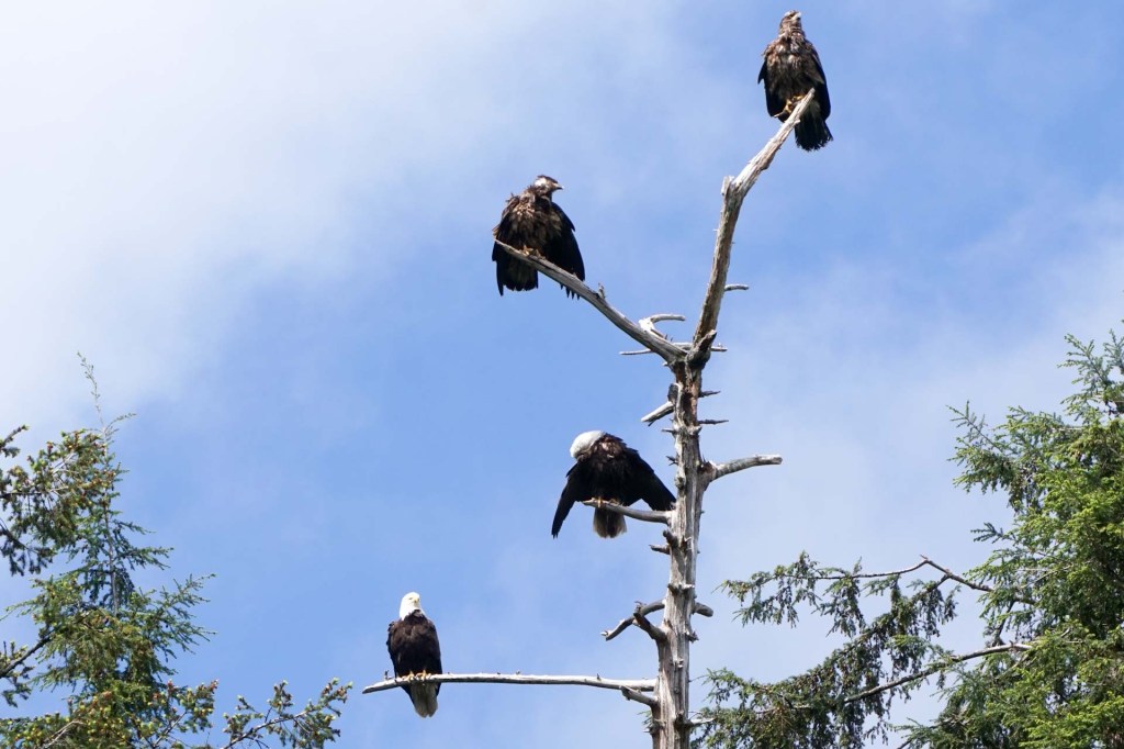
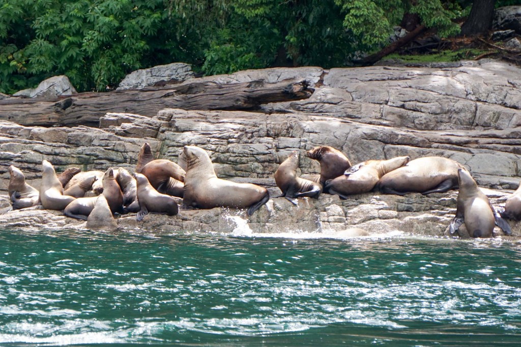
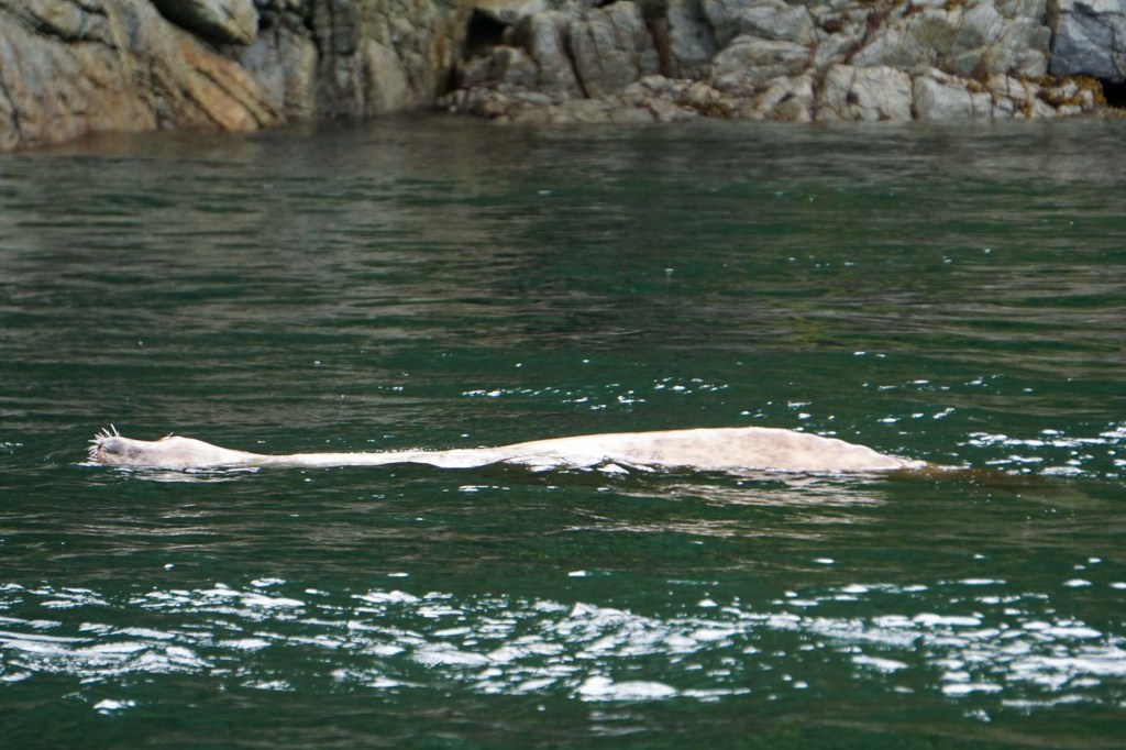
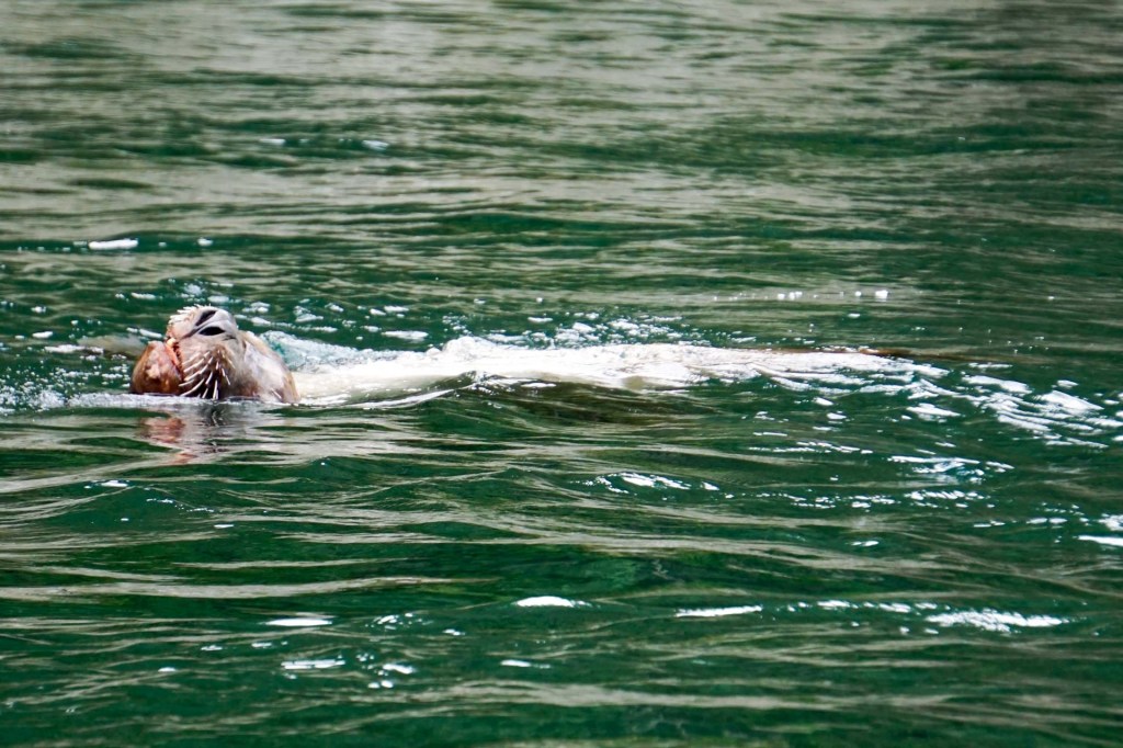
We saw sea lions both on land and in the water.
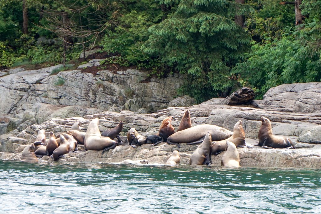
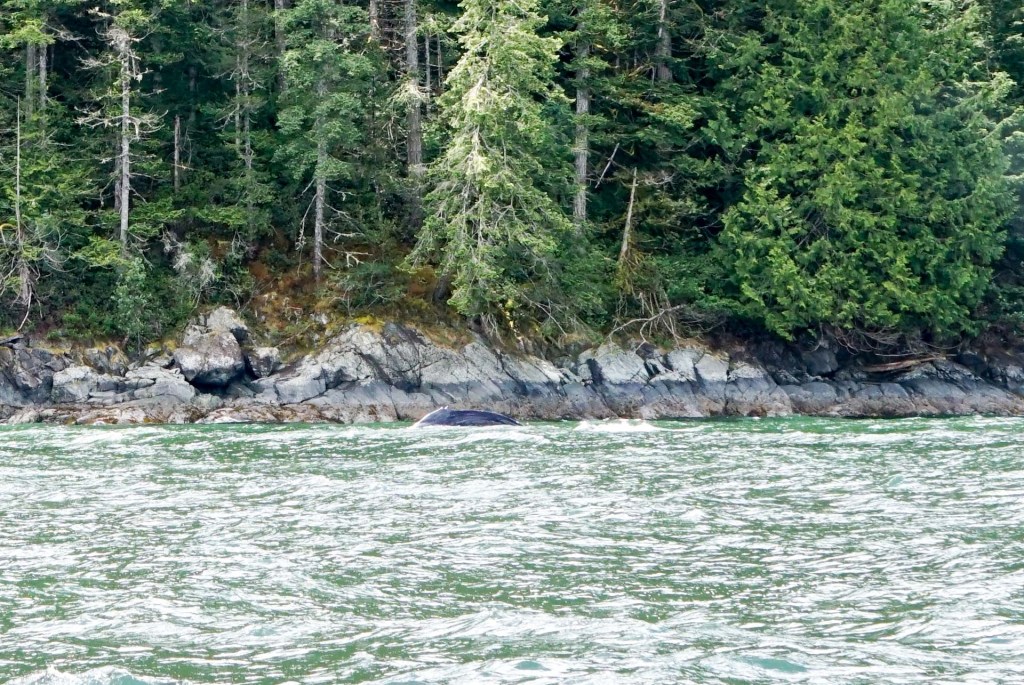
We saw a hump back whale making its way along in the water close to the shoreline. We also spotted some dolphins and a killer whale.
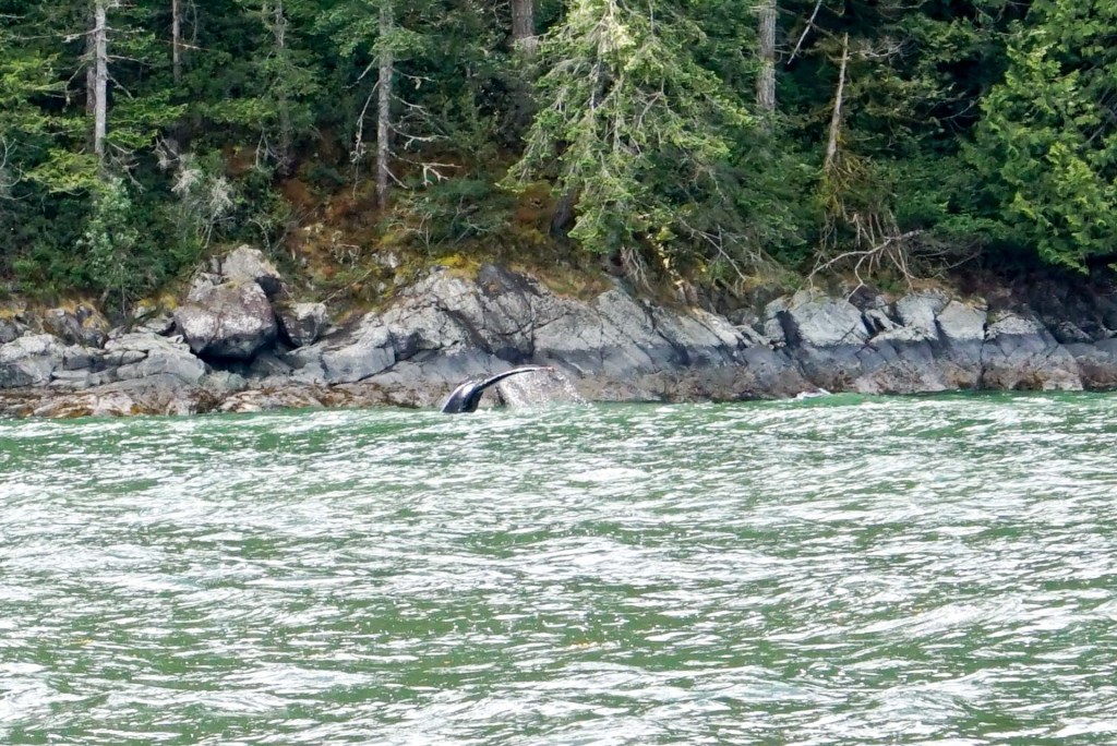
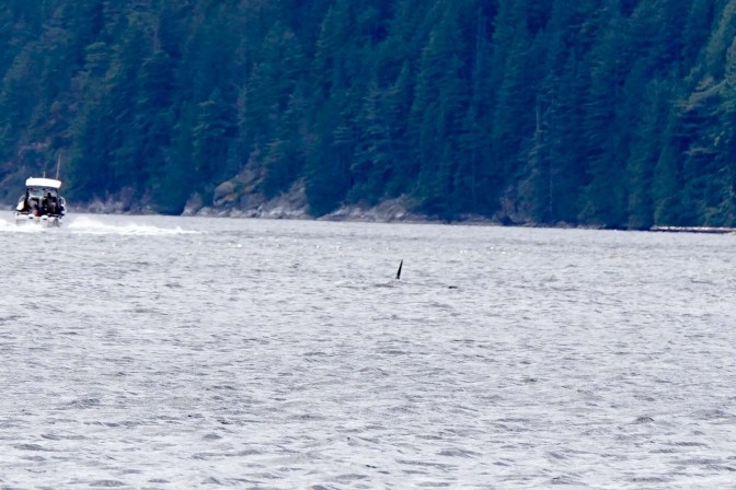
In addition, we spotted three different black bears, although these were rather elusive and needed a lot of searching.
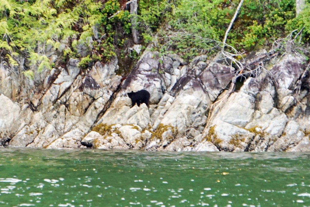
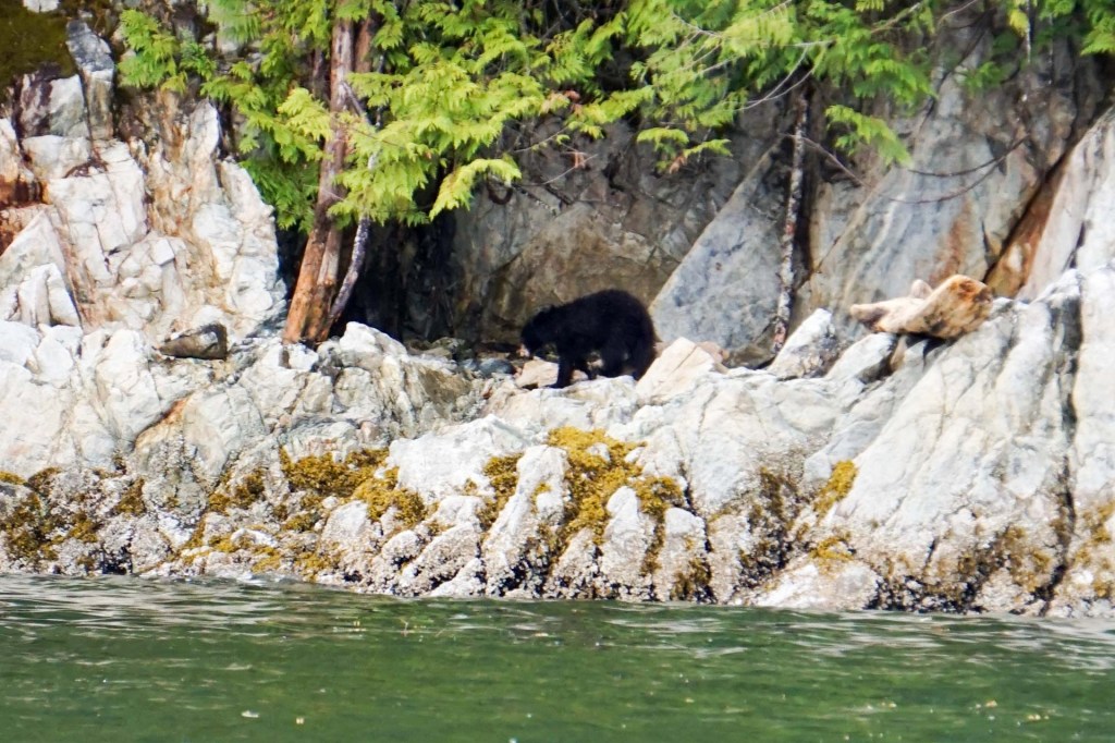
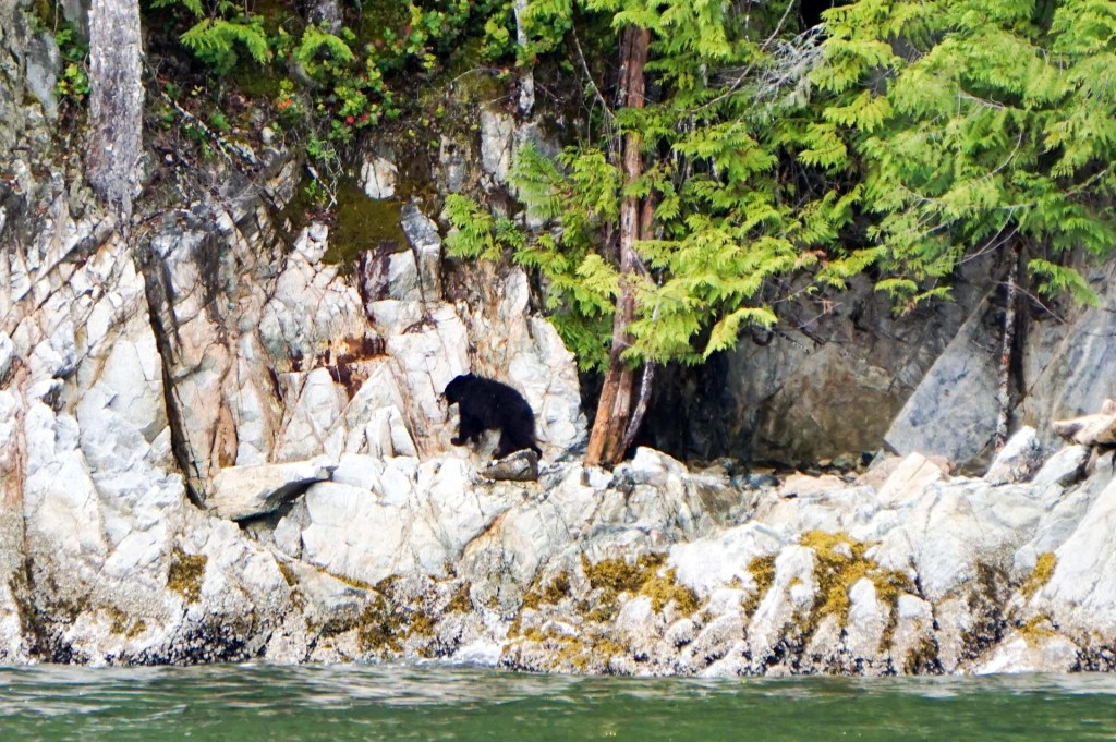
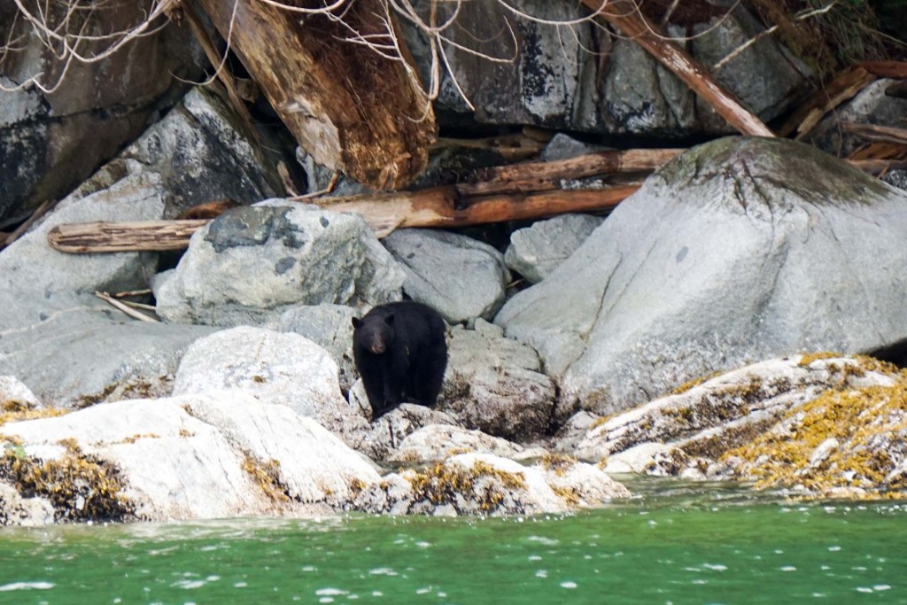
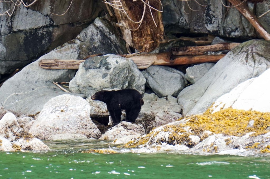
On return to dry land, I would have been keen to go to Elk Falls, but that would have involved a drive. Hence we walked on the Rotary Seawalk past totem poles with views across Discovery passage to Quadra Island, although it was all on pavement alongside the busy Island Highway.
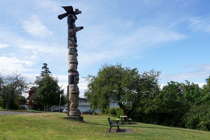
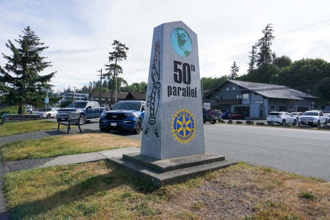
We passed the fiftieth parallel.
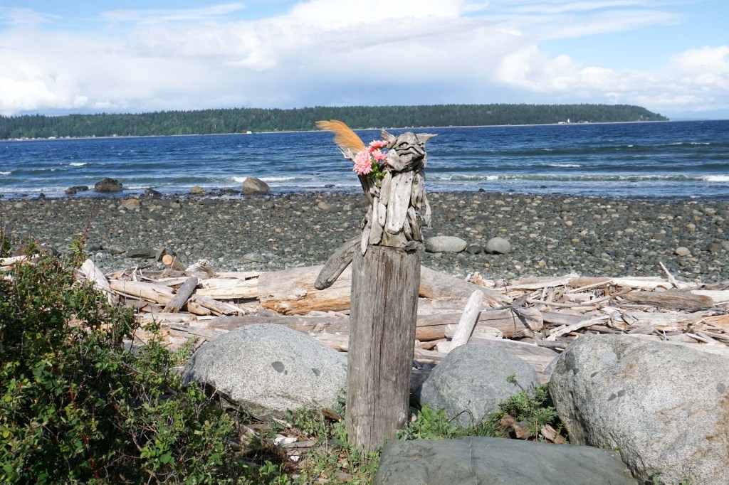
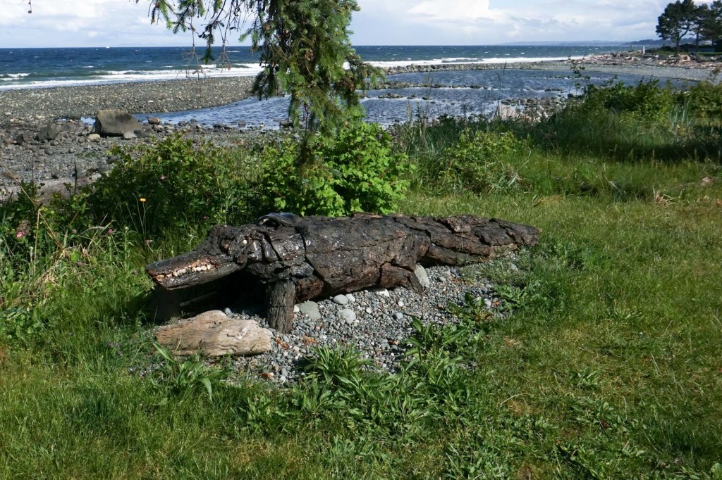
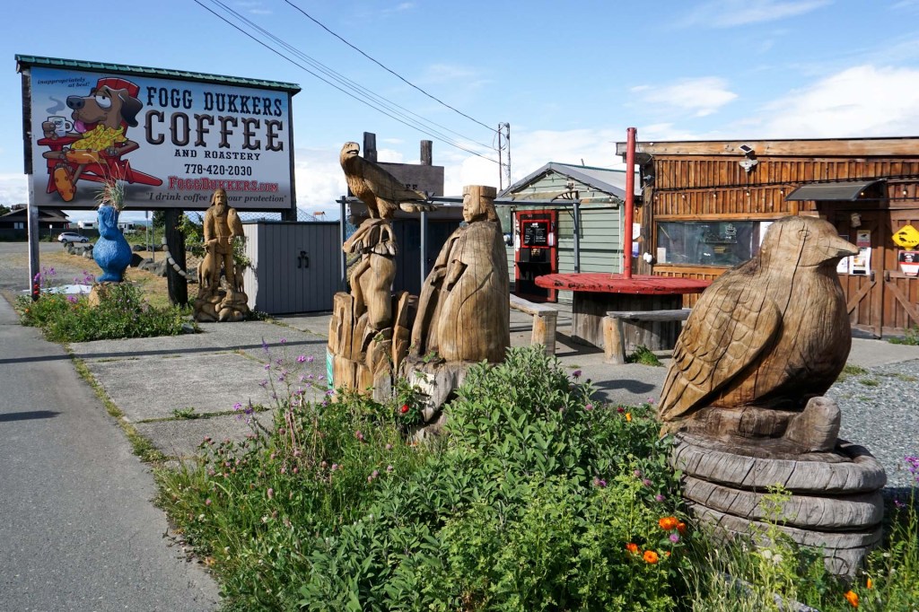
There were some chainsaw woodcarvings and driftwood sculptures to see alongside the path.
We reached Big Rock, which was our turning point. Three different legends relate to this huge stone. My favourite is of the grizzly bear who terrorised the people of Cape Mudge on Quadra Island. The bear was tricked into jumping across the water. The people knew that if he didn’t make it, he would be turned to stone. If he did make it, he would stay on Vancouver Island enjoying the more abundant food sources. he also made it across but touched the water’s edge and was turned to stone. This legend also explains why there are no grizzly bears on Vancouver Island. In fact there are some who visit, swimming across to the north part of Vancouver Island from the mainland.
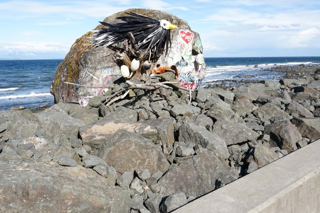
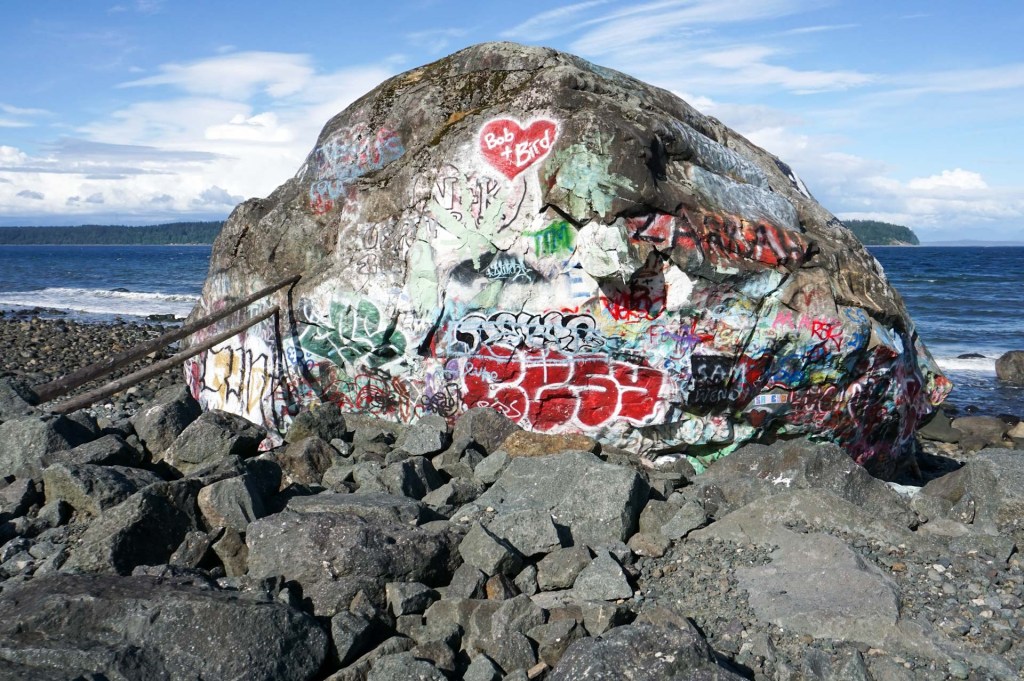
The next day we left Campbell River to drive to Ucluelet, further south and on the west coast. I did get my opportunity to visit the powerfully impressive Elk Falls as we detoured there before joining the Island Highway.
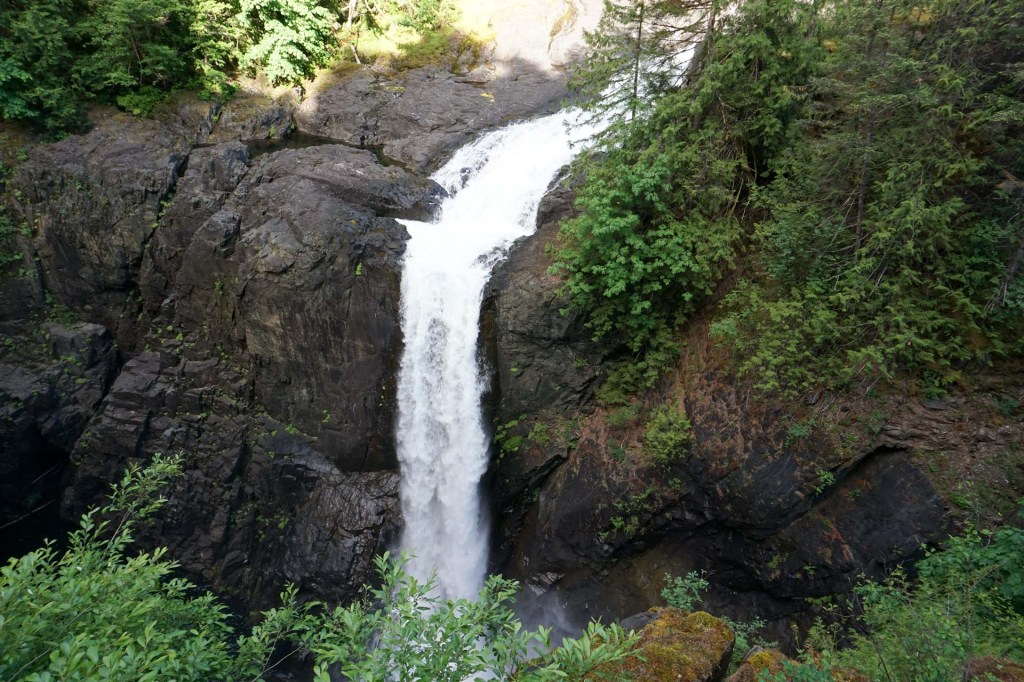
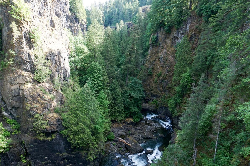
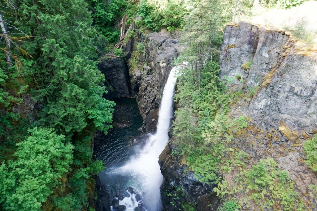
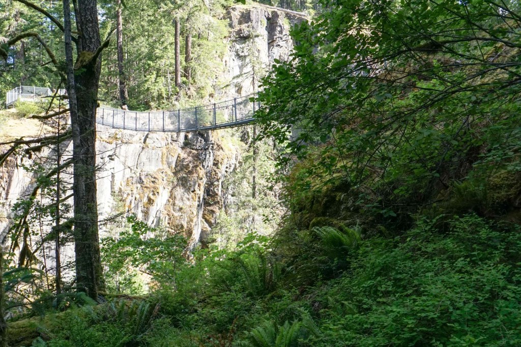
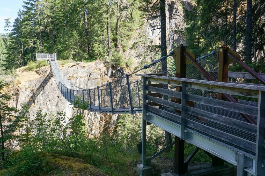
The suspension bridge above the falls is stunning.
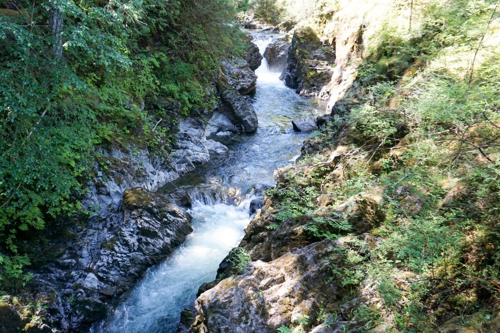
We journeyed onward along the road hugging the coastline, stopping for coffee at a wonderful local café near Bowser mainly frequented by local people at that time. We turned off along the Pacific Rim Highway 4 which crosses to the west coast. Our first sightseeing stop was at Little Qualicum where we enjoyed exploring both the upper and the lower waterfalls.
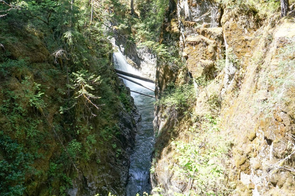
Cathedral Grove would have been our next stop but the roadside parking was all taken. We realised that we would be passing back this way a few days later but earlier in the day so hoped for better luck then to park. We would have been able to walk under towering ancient Douglas fir trees some of which are more than 800 years old and one with a trunk circumference over nine metres. There are also groves of ancient western red cedar. Even from the road we could see some gigantic trees.
The road passed further lakes, river scenery and a twisty steep and, at times, narrow road over the watershed and down towards the Pacific Rim. This is reputed to be one of the most beautiful and iconic roads to drive in the World.
26 May – 29 May – Ucluelet
We stayed at Black Rock Oceanfront Resort but decided after we had arrived to walk to the town centre where we enjoyed some delicious fish and chips sitting outside. I wandered out to look at the beach near the hotel later in the evening – it was beautiful and I even thought I could hear some seals calling. However, the next day I realised it was the sound of a “whistle buoy”.
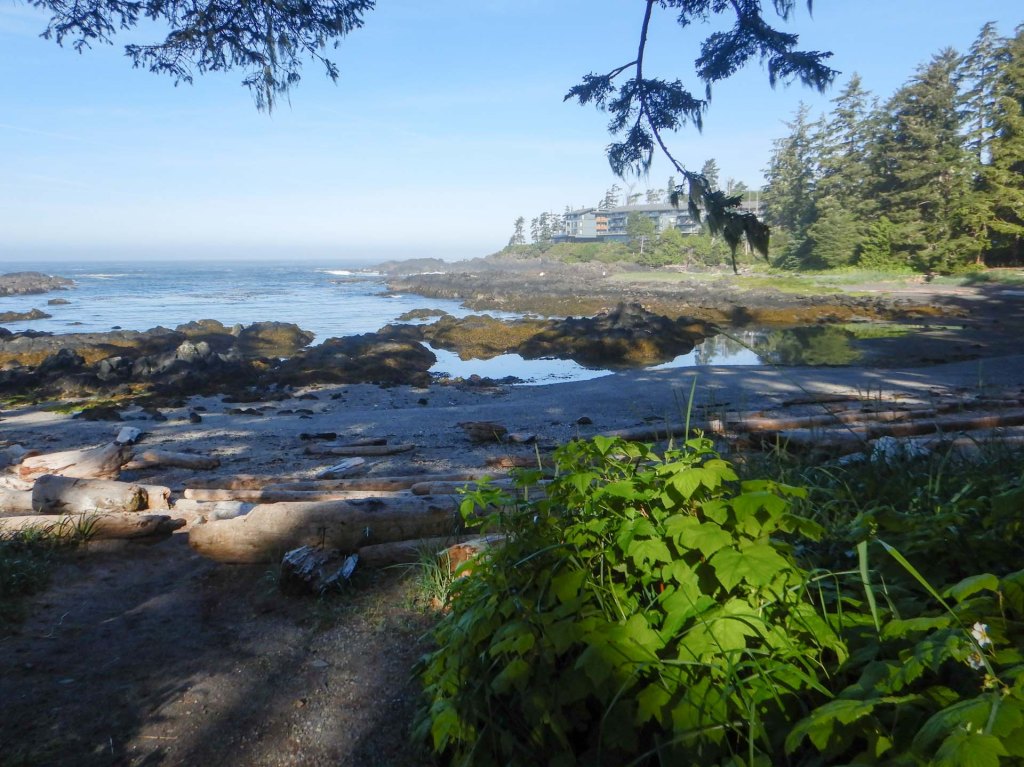
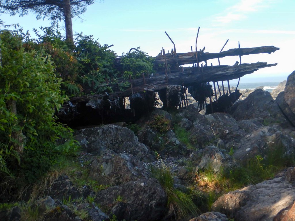
So the next morning we wandered out to Big Beach and found a crumbling shipwreck from the late nineteenth century. Hence the need for warning buoys such as the one I had heard the previous evening.
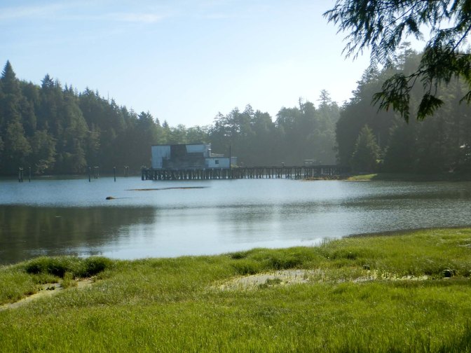
We walked further along the road and turned off on the Spring Cove trail (part of the Wild Pacific Trail) leading to views of an old salmon fishing cove. It was an area of ecologically significant mudflats, with eelgrass being one of the species growing.
Going further, we reached the main Wild Pacific Trail and walked through woodland close to cliffs to reach the Amphitrite Lighthouse and adjacent interpretive centre.
We heard again the same sound that I had heard the previous evening and an interpretive board explained that the plaintive sound was that of a whistle buoy.
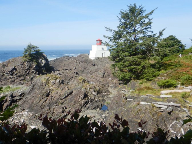
We saw the site of another shipwreck – this had been of an early twentieth century steel sailing ship and was the accident that prompted the building of the lighthouse. In those times the lighthouse site was more remote than nowadays; provisions for the lighthouse keeper were taken along a planked wooden board road, remnants of which still exist.
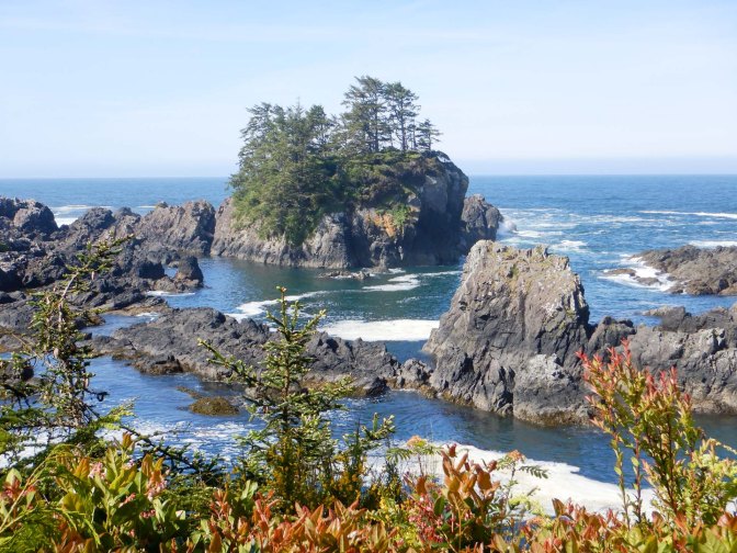
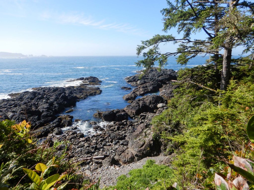
We enjoyed scenic views of the rocky shore then descended to a deserted beach, discovering a myriad of creatures including crabs, hermit crabs, small fish and sea anemones in the rock pools left by the retreating tide.
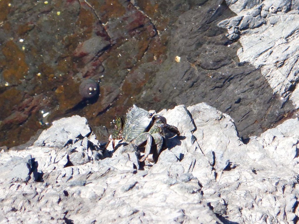
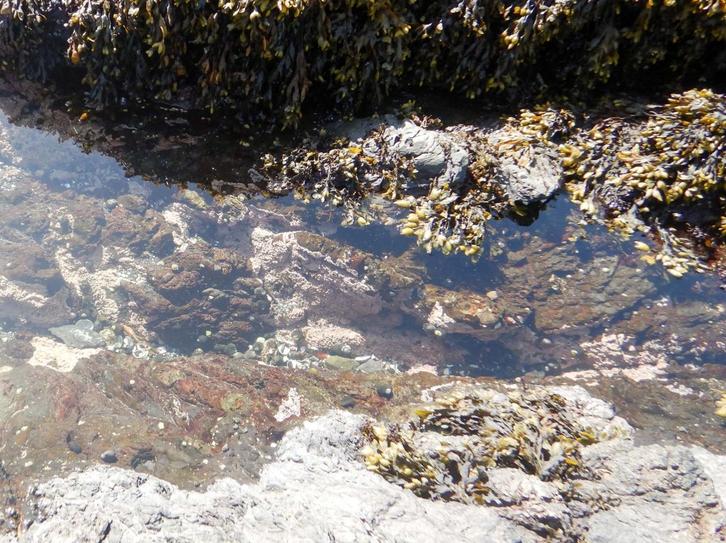
Another short diversion led to a walk on boards over a bog where there were multiple informative boards. This area is a huge sink for water (preventing flooding) and for carbon (reducing climate warming).
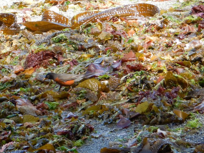
On our walk back to the hotel we had time to look at another picturesque beach – Terrace Beach.
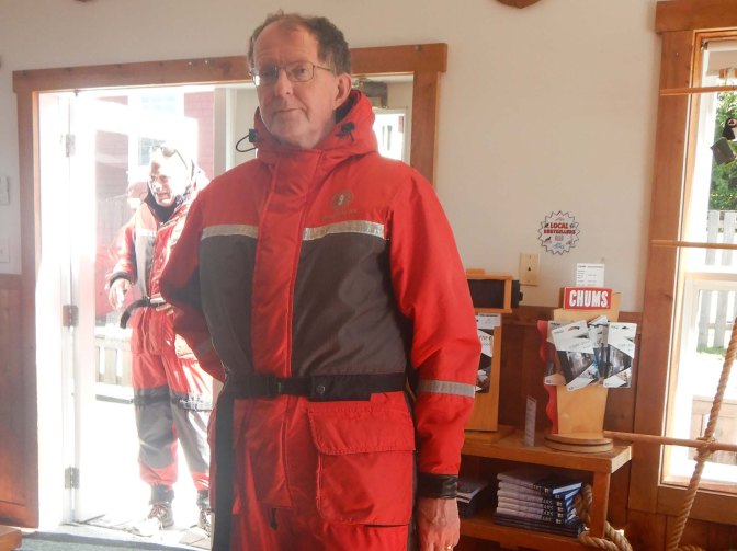
After lunch we drove to Tofino. It was hard work parking as the only way to pay was via an app, which I had to download to my phone. Fortunately we had arrived in plenty of time for our booked bear watching trip. Riding in a RIB, we needed to be dressed in flotation suits and we were warned that we would get WET! However, even though we sat in the more exposed bow end of the boat, we remained dry and could have taken non waterproof cameras and binoculars with us.
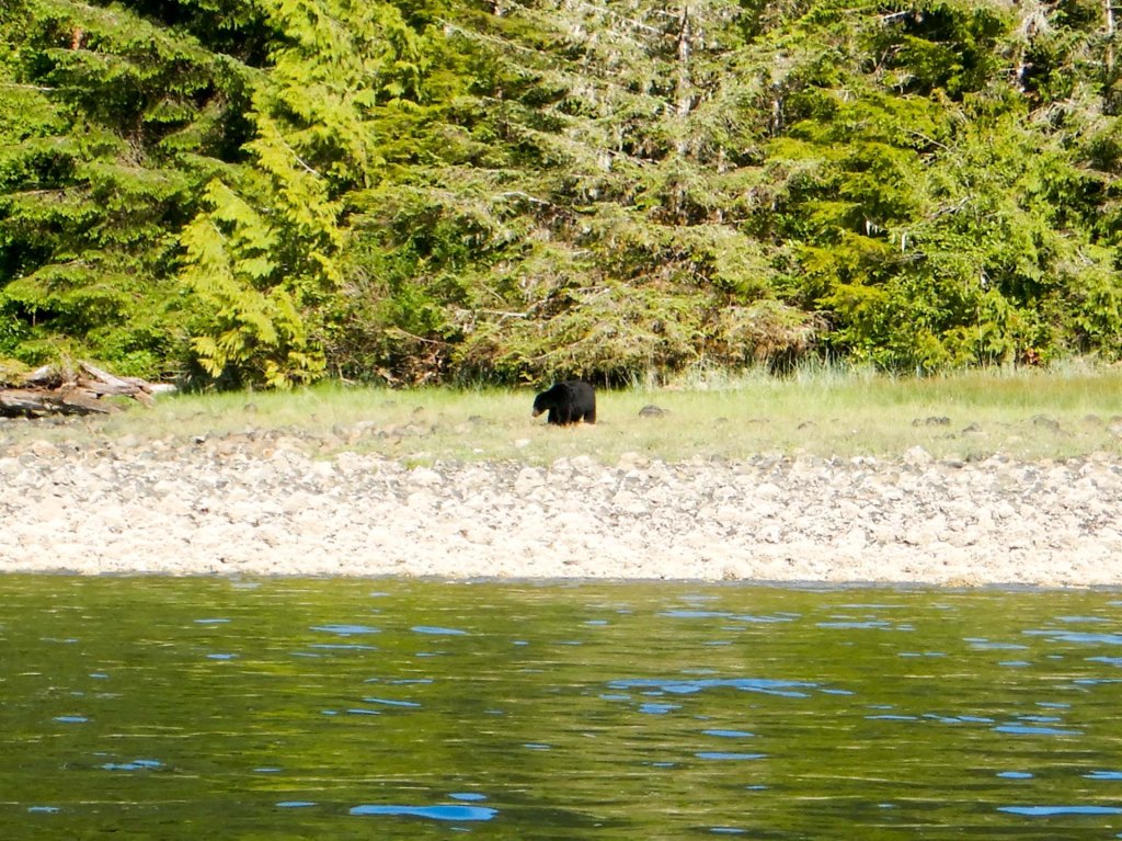
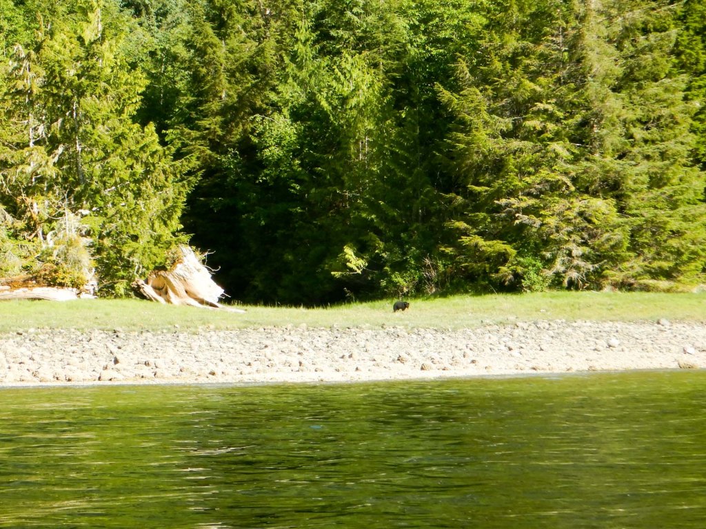
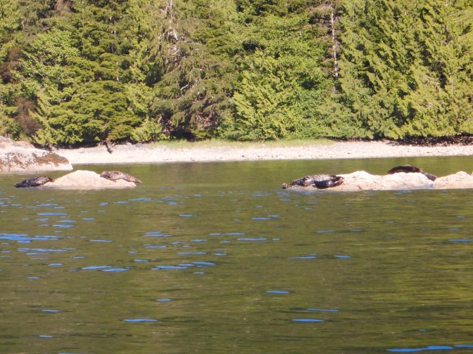
We saw multiple seals and eagles but the highlight was seeing two bears just when we thought that we were unlucky. We spotted a black bear on the beach near the sea then saw, some distance away, a smaller bear that our guide told us was a juvenile.
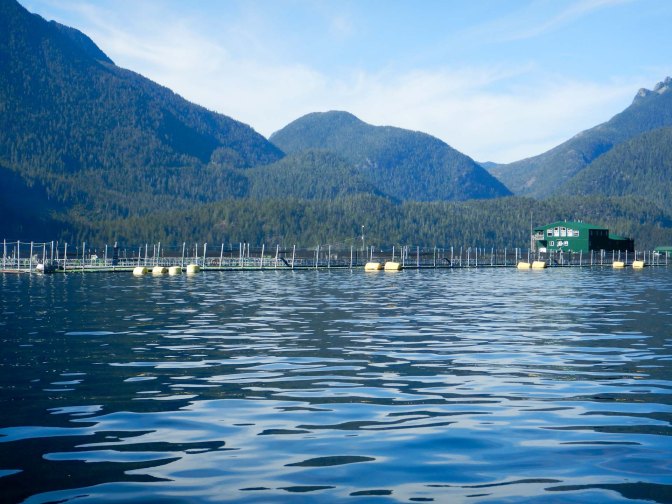
We also passed a salmon farm – there’s a big problem with salmon farming here – Atlantic salmon which aren’t native have been introduced and this has also brought various diseases affecting both the Atlantic farmed salmon and the Pacific wild salmon.
The following day we explored Long Beach, part of the pacific Rim National Park Reserve and the traditional territory of the Nuu-cha-nulth First Nations.
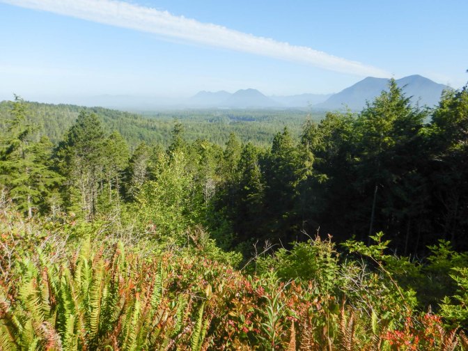
Our first stop was at Nacaas Radar Hill to look at the amazing views. We also spotted a slow worm. My husband heard an unusual noise and stopped me – he thought it was a bear; however another couple arrived and were reassured when their Merlin app identified the sound as a sooty grouse.

Our next stop was near Incinerator Rock where we enjoyed tremendous views of the rocks and of Long Beach. We also spent time marvelling at the ability of the surfers to remain standing on their boards.
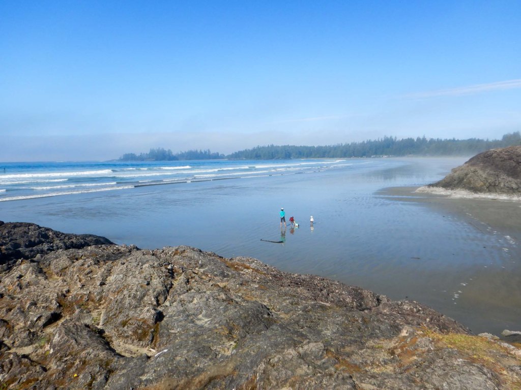
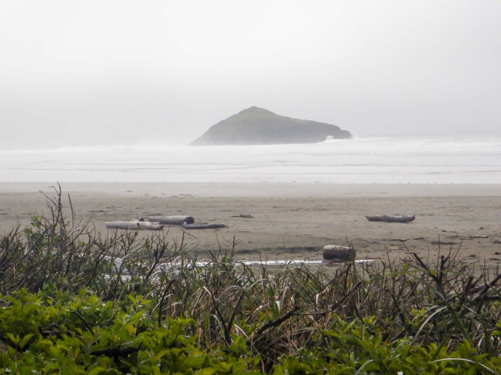
We ventured through the coastal rainforest to look at Combers Beach.
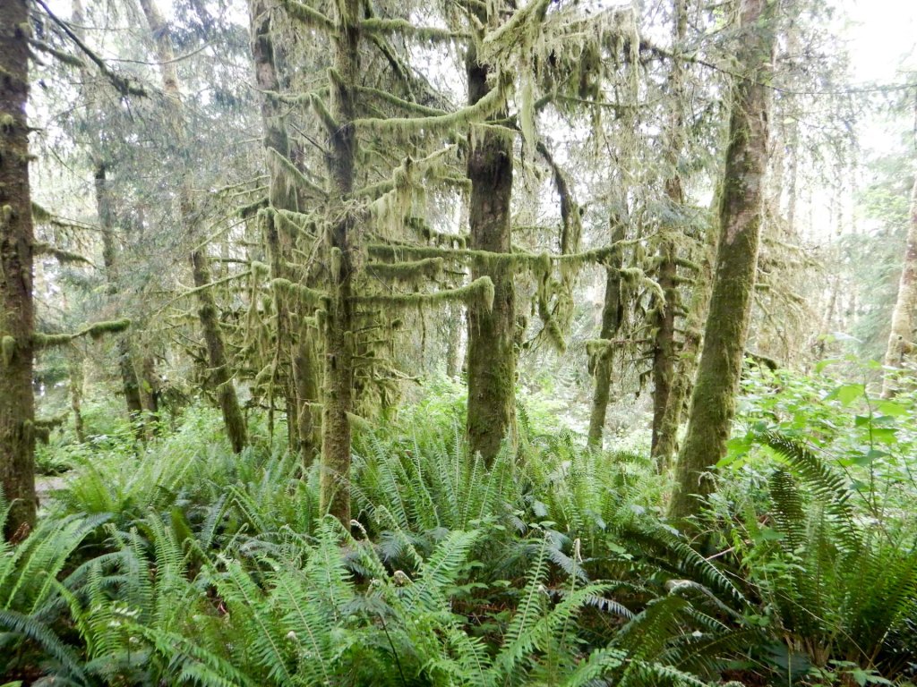
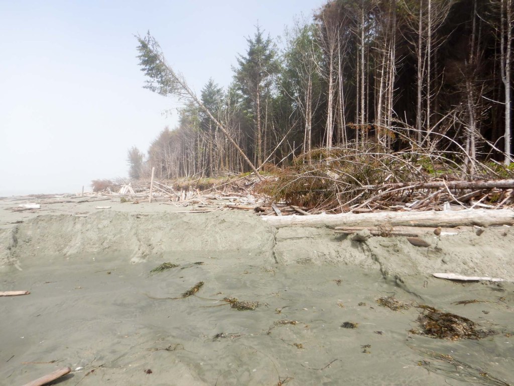
We missed the turning to the rainforest trails and found ourselves at Kwisitis where there is an informative and interesting visitor centre. The missed turning was probably fortuitous as it gave us more time to look round the centre where we enjoyed looking at displays about the history of the area, wild life, Indigenous people in the area, shipwrecks and more. Eventually we tore ourselves away to walk on the Kwisitis trail through the atmospheric forest all the way to Florencia Bay. Here we ate our lunch, sitting on one of the many huge driftwood logs washed up by the immense power of the sea and tides.
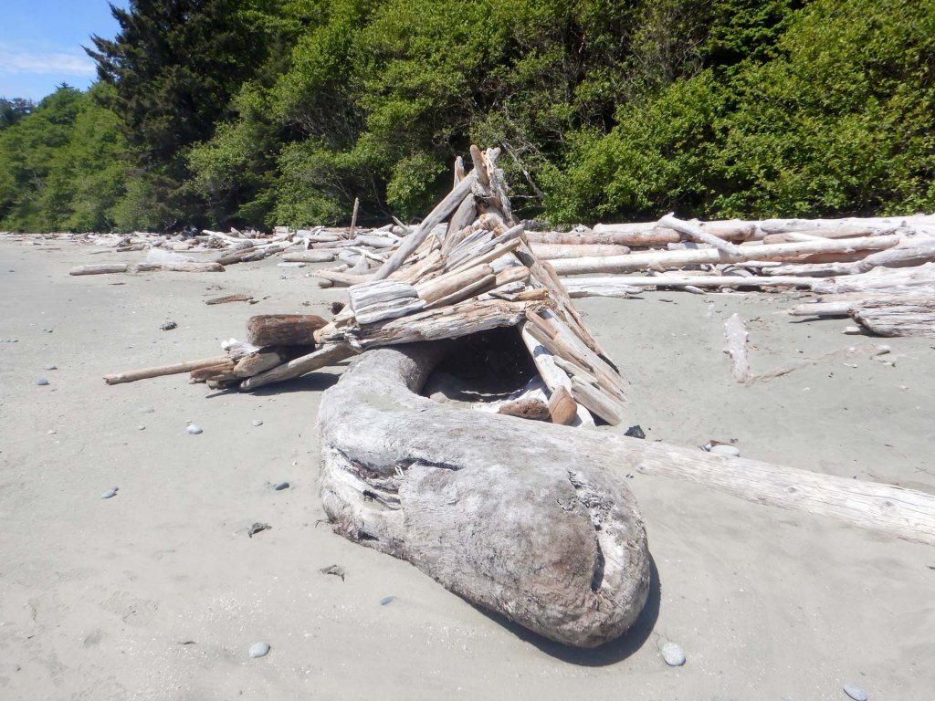
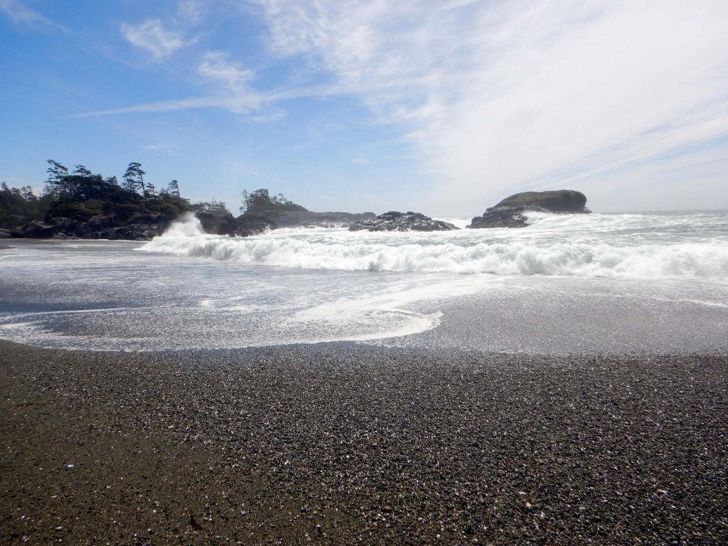
Returning by the same route, we diverted to the pebbly South Beach where there were towering waves crashing on to a pebbly shore.
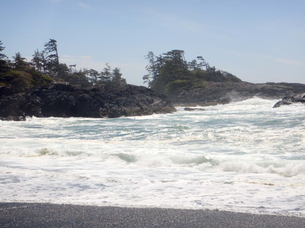
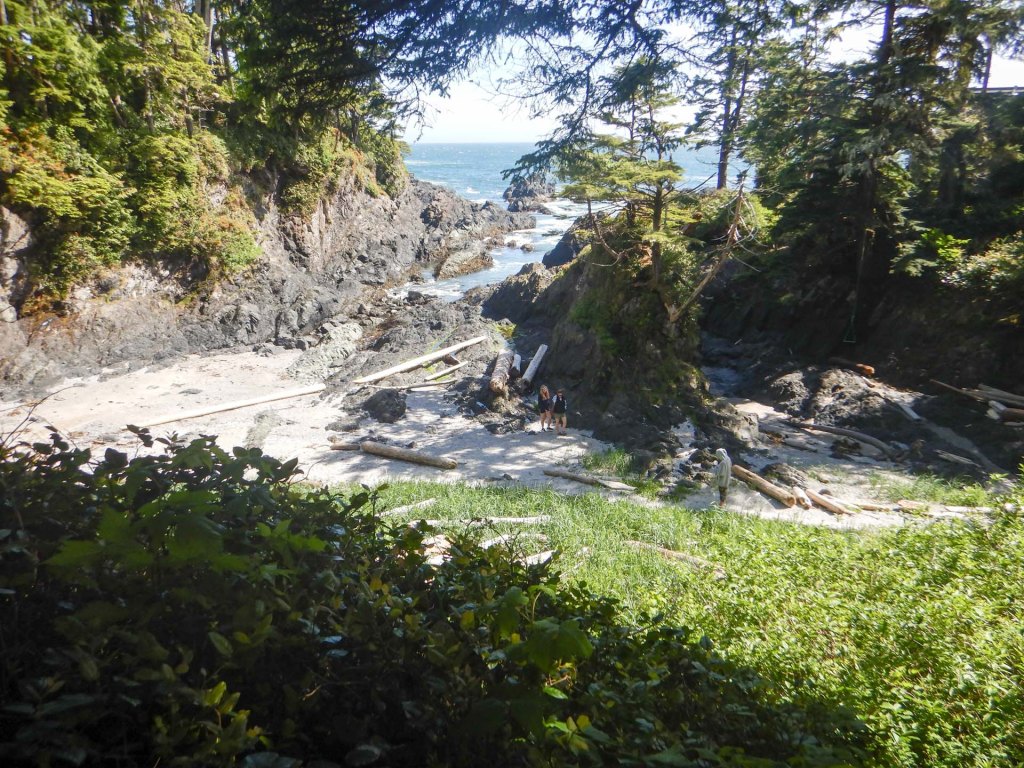
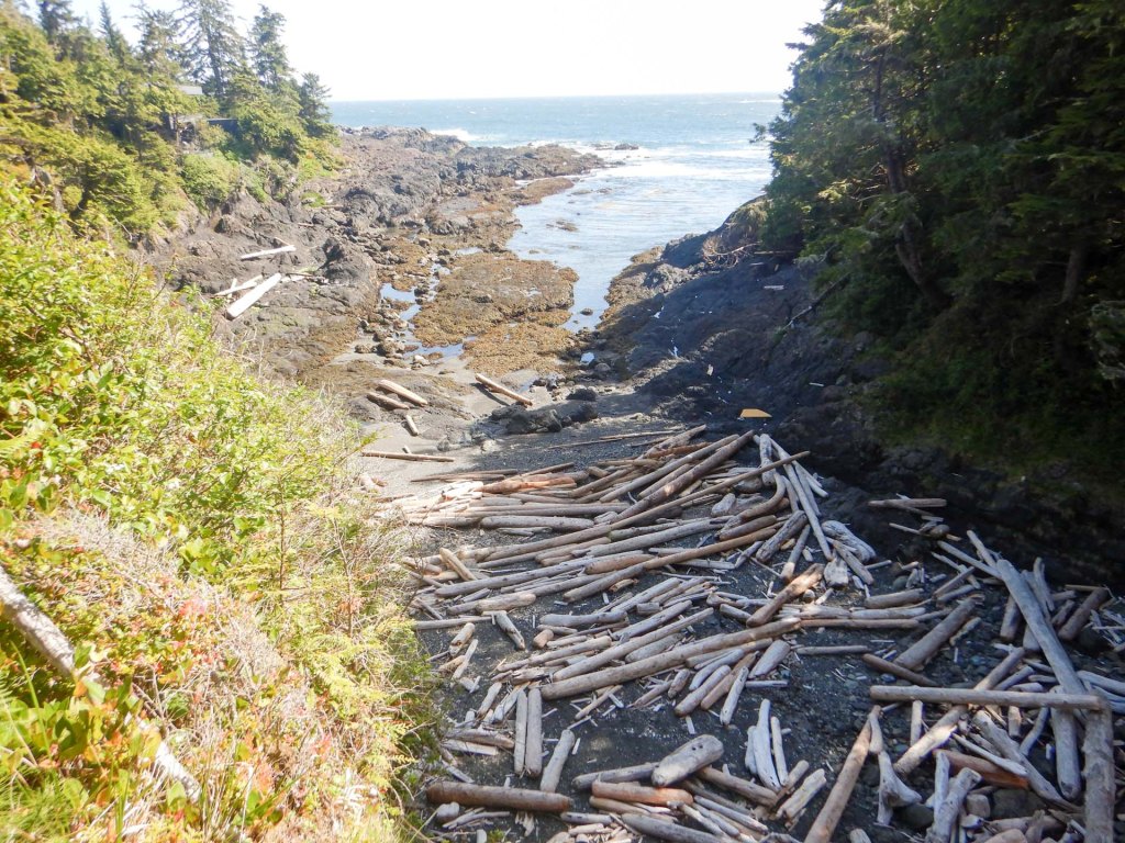
We decided to return to our hotel as my husband was keen to have a rest whilst I wanted to walk the remainder of the Wild Pacific Trail going west from our hotel. This turned out to be a superb trail through the forest, mainly keeping close to the scenic rocky coast with multiple viewpoints just off the track.
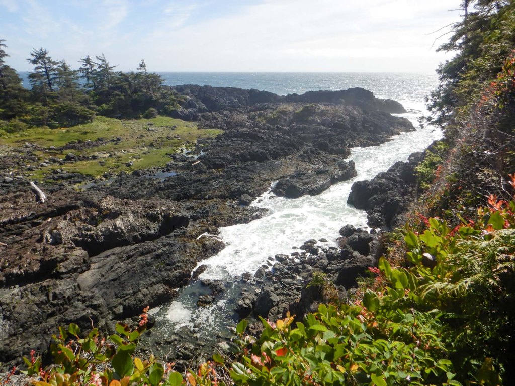
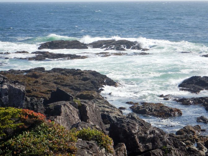
I walked all the way to the far west end of the trail where there was an excellent view of huge waves battering the rocky shoreline.
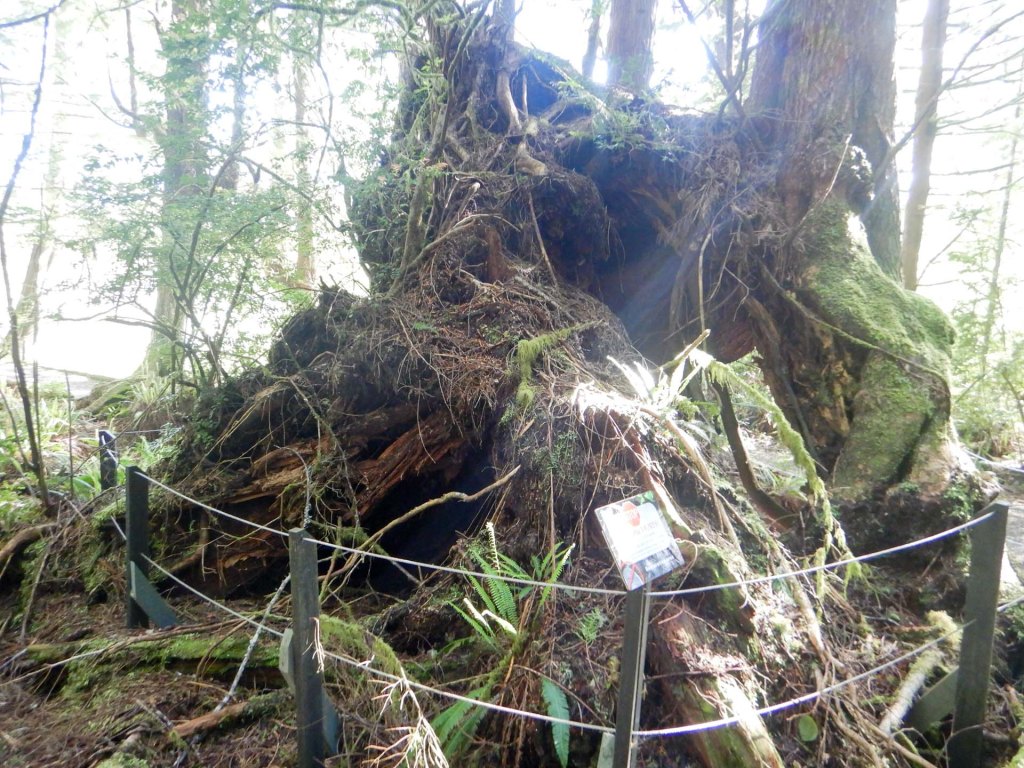
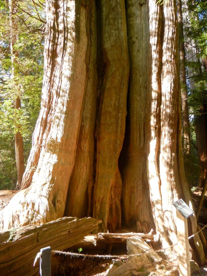
On my return I diverted on a loop to look at ancient cedar trees with culturally modified trees and interpretive panels explaining about the uses of the trees and the ways in which they were used without any long term harm to the trees.
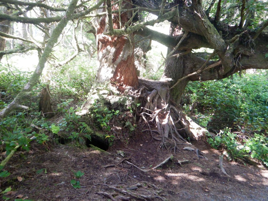
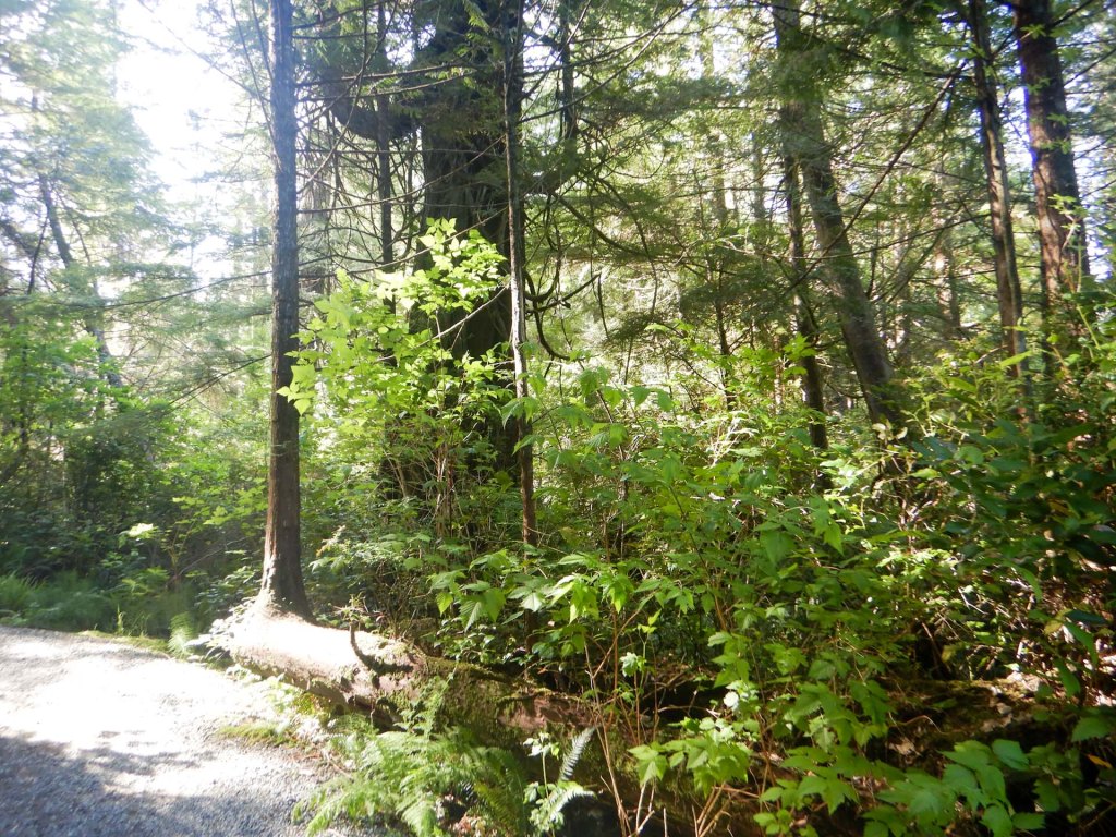
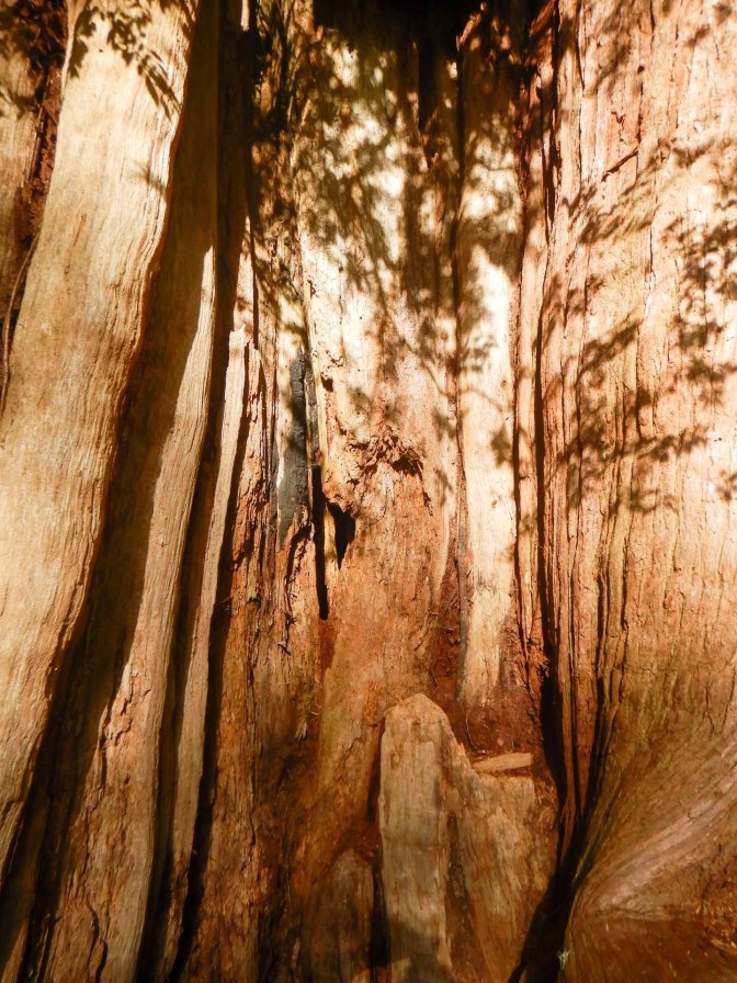
The time was going very quickly so I walked back to the hotel taking a shortcut. Even so there was barely time before going out for a meal for me to pay a quick visit to the open air swimming pool (too cold for me!) and the jacuzzi where I relaxed for a few minutes. it was tacos for dinner at a very “cool” restaurant in the village.
Next morning we headed off bound for Victoria. The twisty road over the watershed to reach Port Albertini was just as scenic in the opposite direction.
Unfortunately yet again the parking spaces were already full so we couldn’t stop at Cathedral Grove, which was disappointing.
More by accident than design, we arrived at Rathtrevor Provincial Park to eat lunch. We saw Douglas fir trees and the immense flat sandy beach where the tide was far out.
We journeyed on, now driving on the motorway route. However it looked as though we would arrive too early for our car with driver booked from Victoria Airport (drop off point for the hire car) to downtown Victoria where our next hotel was situated. We diverted on to an incredibly windy and unexpectedly narrow road past Prospect Lake. I’m sure it was scenic but I was too busy navigating to look at many of the views!
Eventually we arrived without mishap and enjoyed a relaxed drive to our hotel in a limousine driven by Bob who had been born in Yorkshire, England but moved to Canada as a child then a career teaching farming students about the mechanical engineering aspects of their work. Even Bob found the navigation in central Victoria difficult as some streets have been blocked off or made one-way recently for the convenience of cyclists in the city.
29 May – 31 May – Victoria
Abigail’s Hotel is an independent boutique establishment combining old world charm with romantic luxury. Each of the thirty rooms is different. The problem with having the accommodation booked through an agent rather than booking it ourselves, is that we hadn’t appreciated that one of the cornerstones of the hotel’s ethos was a different fully served three course breakfast each morning with timed arrivals.
We didn’t want to waste our limited time in Victoria so with an allocated breakfast at 09.00am on our first morning we decided to pop out before breakfast to visit the bus office and, as instructed, “confirm” our bus for the next day. Unfortunately the bus office had “closed down” permanently. We returned to Abigail’s and there seemed to be plenty of time to phone the bus company instead; however I was placed in an interminably long phone queue, stayed on the phone for 25 minutes then pressed the button to request a call-back which arrived over an hour after my own phone call had started and just as my main breakfast course was being served. So much for a relaxed breakfast – in fact the necessity to “confirm” arrangements over the phone for pre booked tours was an issue that occupied / wasted a lot of time in Canada – surely there must be a better, more efficient and less stressful way such as by e mail.
Anyway it was an amazing breakfast – I had opted for pancakes with maple syrup, strawberries and cream plus a side dish of bacon.
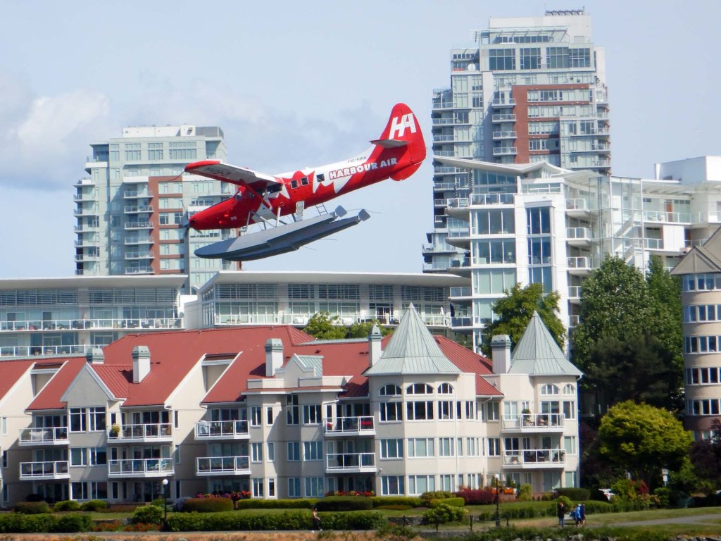
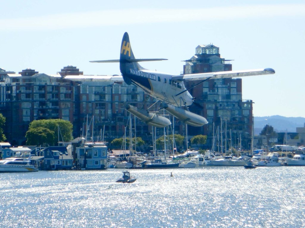
We had decided to spend our single day in Victoria walking round the harbour and city, rather than trying to get to Butchart gardens which we had been repeatedly informed about. The harbour area is impressive with float planes landing and taking off virtually continuously.
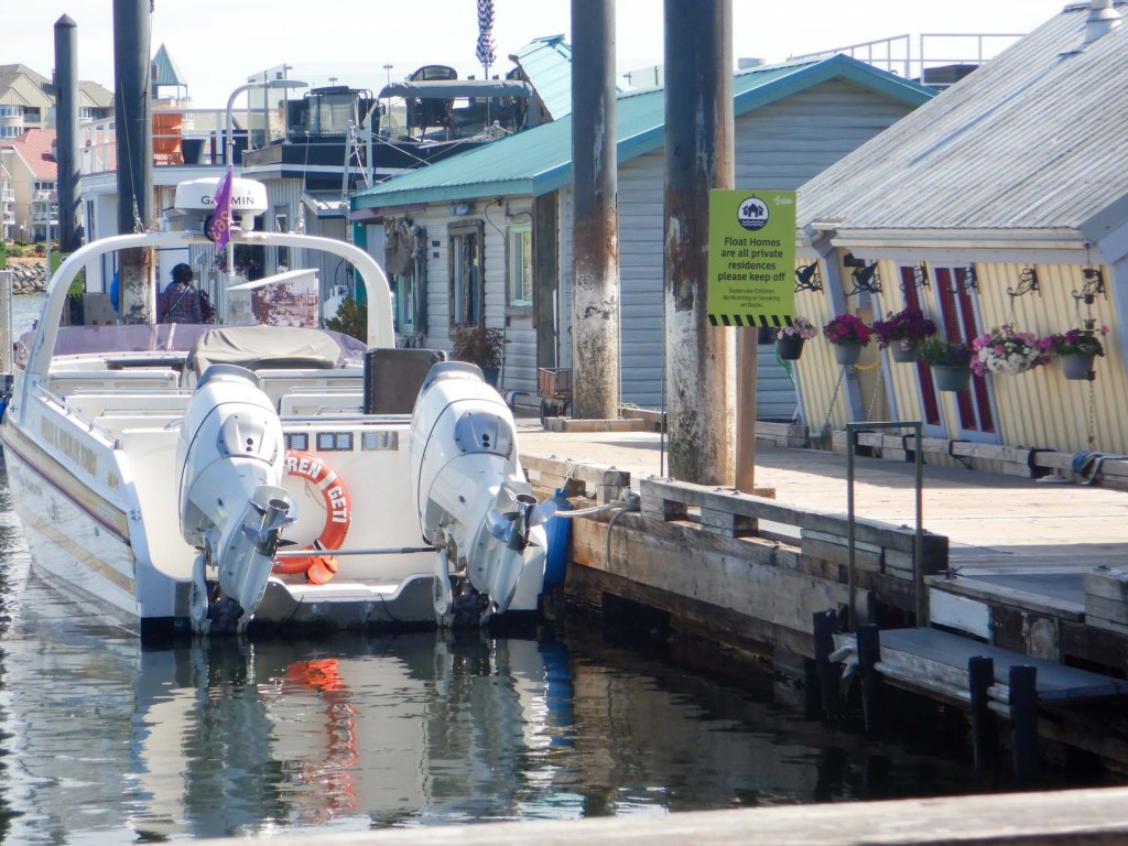
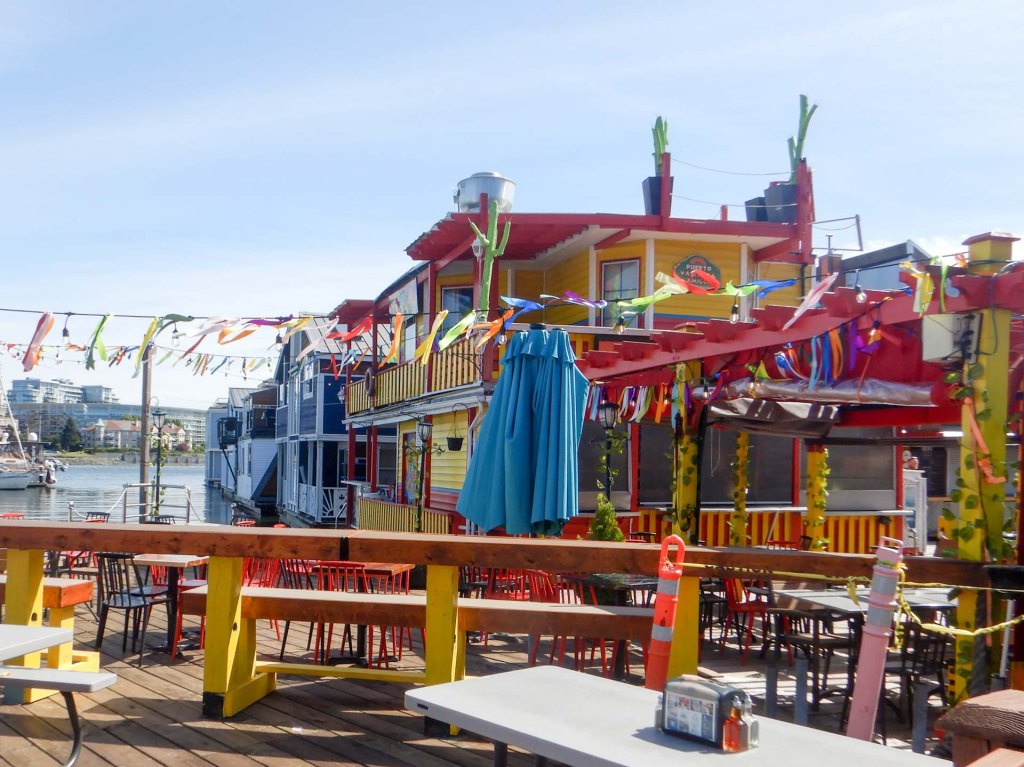
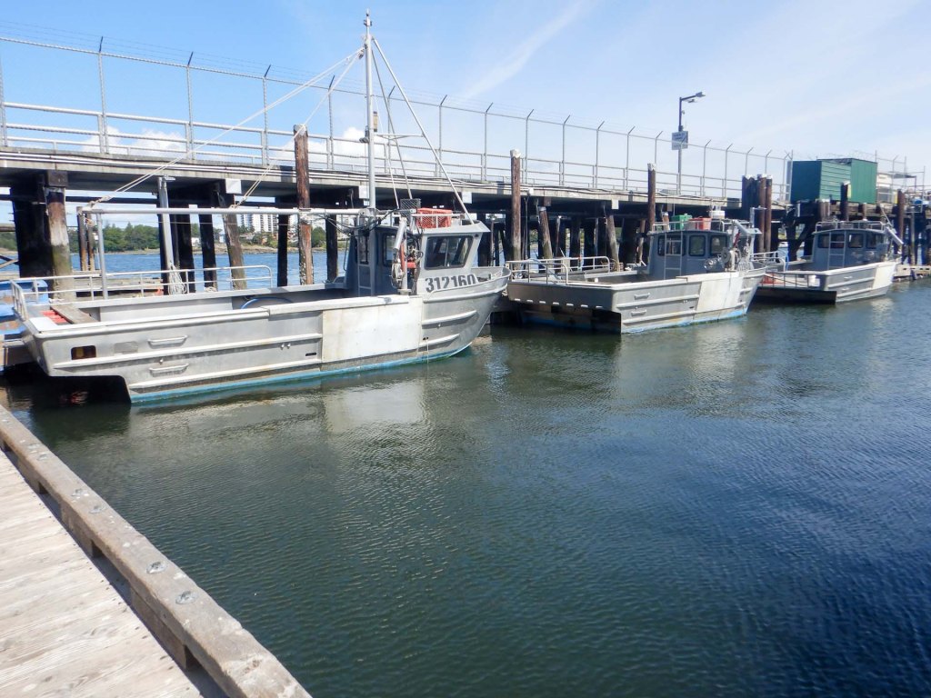
Fisherman’s wharf area included a mix of fishing boats, pleasure boats, “floating” homes, shops, cafes, and tourist attractions.
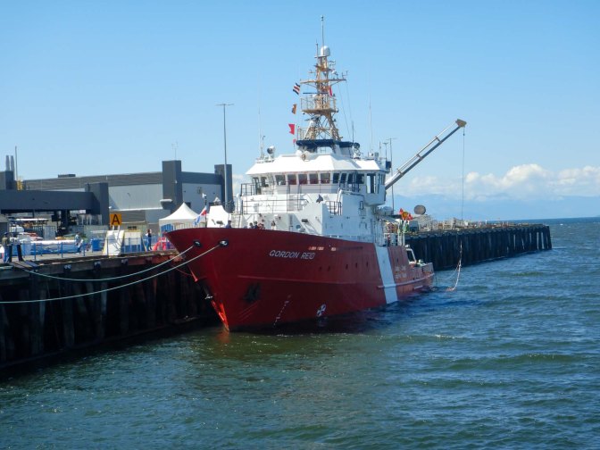
The coastguard station open day was on so we diverted to look at the helicopter, boats, navigation, electronics, medical rescue equipment and information about construction of lighthouses and associated roads and buildings. In reality it was a recruitment drive for the coastguard agency including all the subsidiary trades required to run the service.
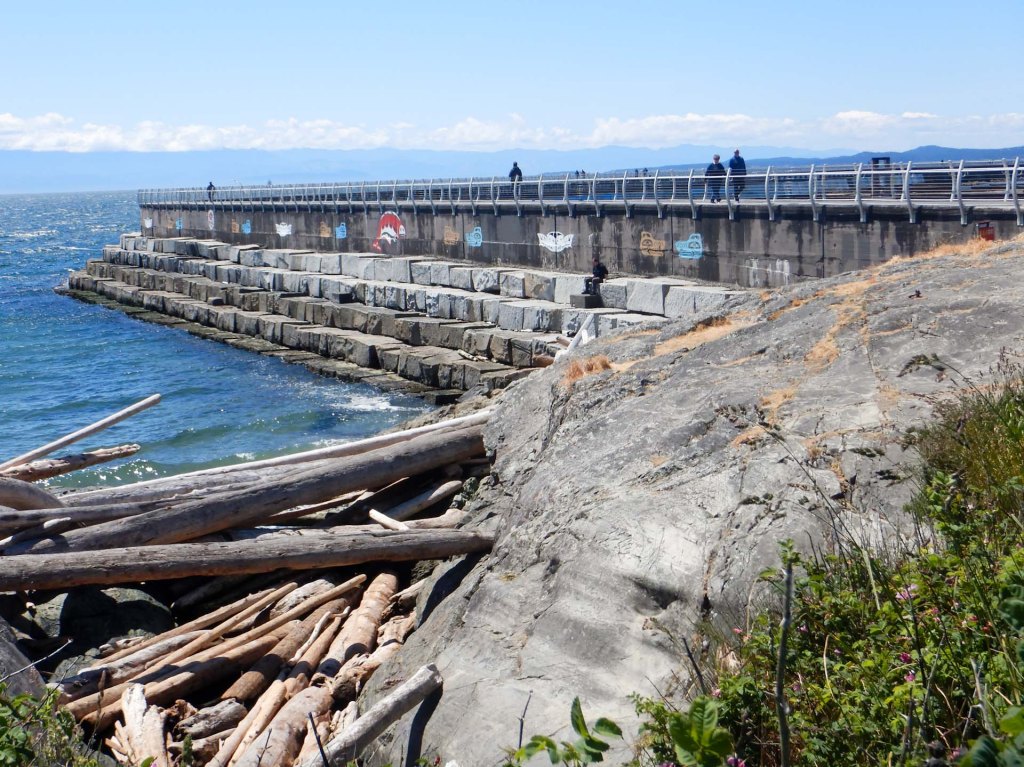
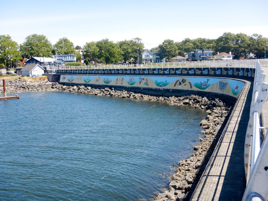
We walked out along the huge Ogden Point breakwater, almost 800m long, featuring the large Unity Wall mural, a place on which First Nation artists have shared their stories in pictures.
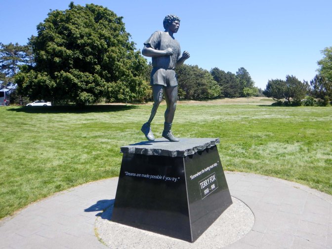
We stopped for coffee once back on the main coastline before heading further round the coast to Beacon Hill Park. This includes the start or end point for the 11,000km journey across Canada between west and east coasts and there are commemorative statues and plaques for those who have made valiant attempts on foot.
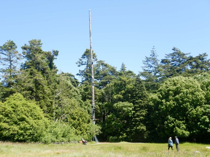
We passed the World’s fourth tallest totem pole (38.8m), carved from a single cedar tree. When erected in 1956 it was the tallest totem pole in the world.
There are areas where people are asked not to walk in order to preserve habitats for native flora particularly the yellow montane violet.
From the top of Beacon Hill itself there are tremendous views of the Juan de Fuca Strait and the Olympic Mountains of Washington.
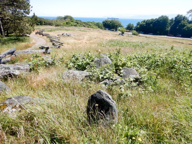
Nearby is a burial site for the First Nations Coast Salish people, who are the original inhabitants of the Greater Victoria region.
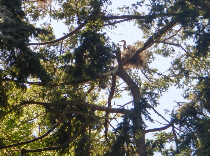
Heron were nesting in the trees and intermittently disturbed by marauding sea eagles which they frightened off due to their weight in numbers.
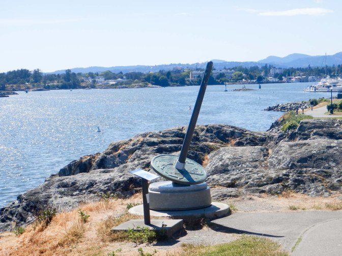
We strolled back through the town and crossed the bridge over to Songhees Point. Traditionally, once infants had learned to walk, their cradles were placed at this sacred headland because of the spiritual power of the water. More recently, there was a settlement at the site, and subsequently a Songhees reserve, that traded with the fort on the opposite shore. A 2.5 metre high bronze cast spindle whorl weighing close to 1000 pounds has been placed here to mark the site. Spindle whorls were traditionally used by Coast Salish women to spin wool and considered to be the foundation of a Coast Salish family. Six further similar spindle whorls designating culturally significant sites to the Songhees and Esquimalt Nations have been placed along the Inner Harbour and surrounding areas. Indeed we had seen a couple as we had walked around.
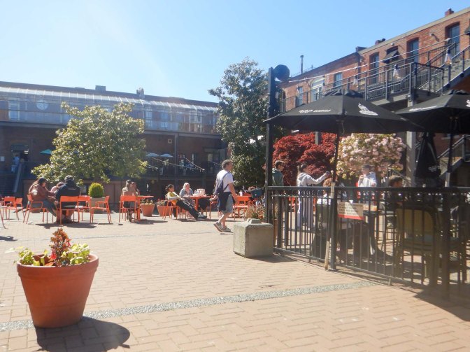
We recrossed the bridge and relaxed watching the world go by, eating an ice cream in a market square.
I managed to persuade a local outdoor equipment rental shop to take our now unneeded bear spray as a “gift”. We hadn’t even needed to remove the safety catch let alone use any of the spray. However, we had certainly needed to carry it on a number of days and the parks ranger in Jasper was quite correct that overall it had been less expensive to buy the spray and gift it at the end than to pay multiple hire charges.
31 May – Victoria to Vancouver
The confirmed bus worked well; we deposited our main luggage in the luggage compartment while in Victoria and the coach and driver were on the same ferry as us.
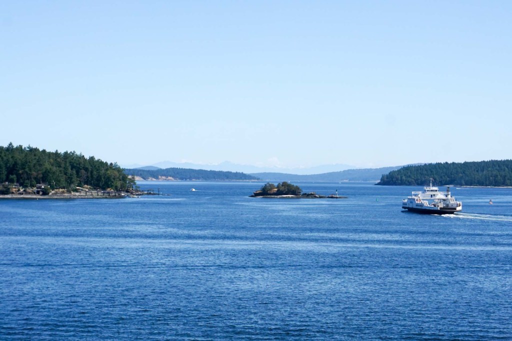
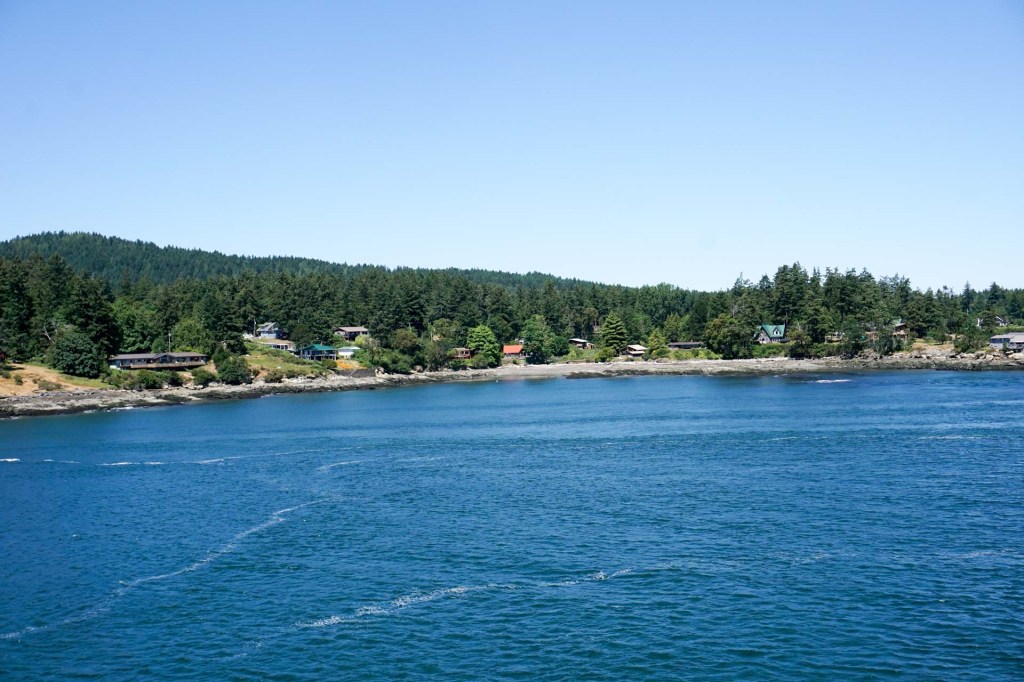
It was a scenic voyage on smooth water passing an archipelago of islands and remaining close to land most of the time. Of course we kept a close eye out for bears – but unlucky again!
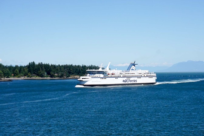
Once at the mainland, we were driven in the coach to within fifteen minutes walk of our downtown hotel.
31 May – 2 June Vancouver
We were soon settled at our hotel – we’ve got used to arriving somewhere and unpacking quickly.
We set off to look at the steam clock in the Gastown area. Although looking historic and much older, it was built in 1977 by horologist Raymond Saunders and was designed to harness steam from the city’s underground heating system.
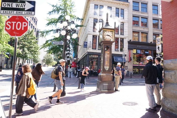
Around it are many independent businesses and quirky tourist shops. More importantly, there was somewhere to buy deliciously rich ice cream.
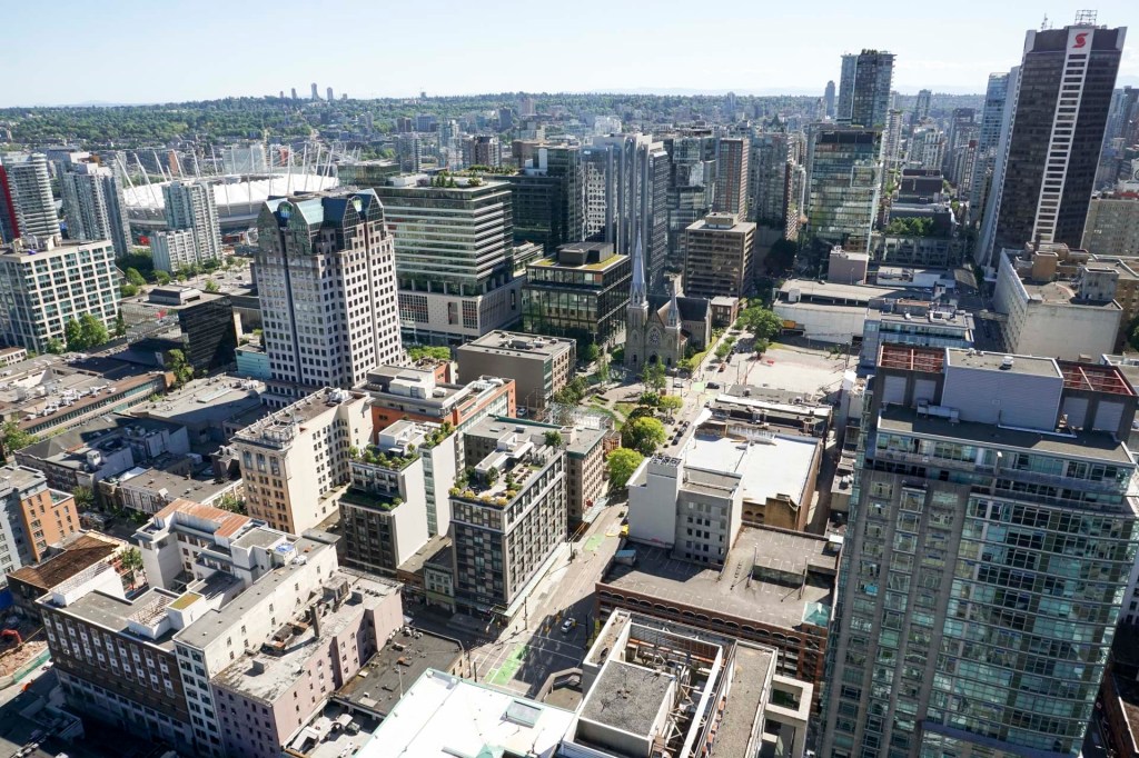
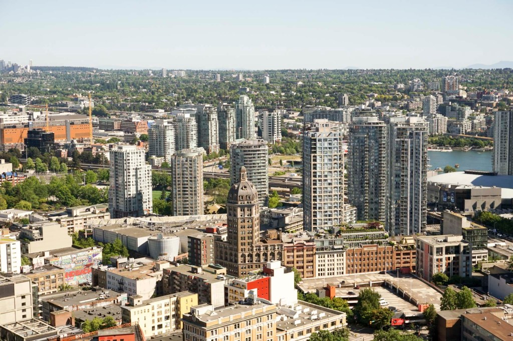
We continued along the street to reach the Vancouver lookout, also dating from 1977 and featuring a 168m ride up a glass fronted lift. the viewing platform at 553 feet above ground level affords stunning views across the city in all directions and helped us to get a feel for the city as a whole at this early stage of our visit. In fact I enjoyed this view more even than that from the very much higher CN Tower in Toronto.
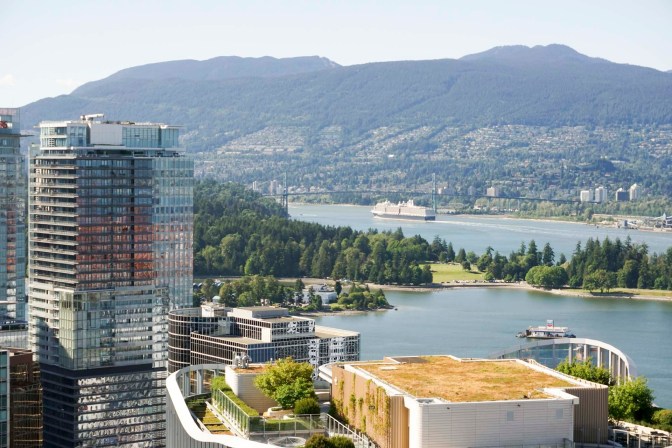
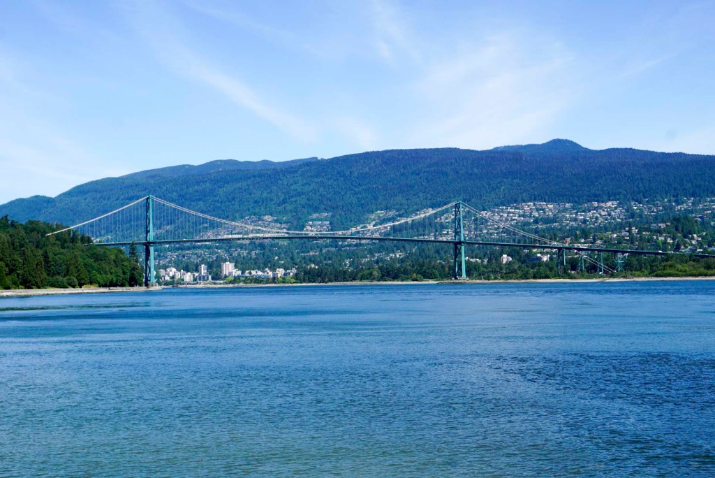
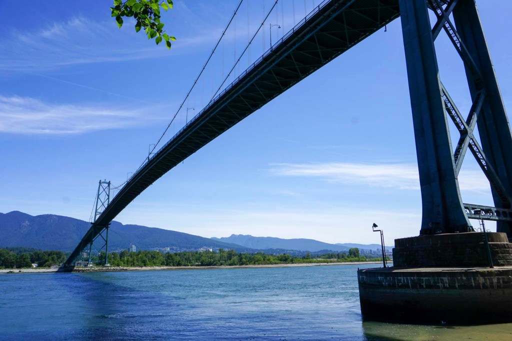
I was especially pleased to see the view past Stanley Park taking in the Lions Gate bridge and West Vancouver. My mother’s cousin emigrated to Canada and lived in West Vancouver for many years. I remember from early childhood hearing stories and seeing pictures from my Great Aunt who we saw frequently (we even called her Granny) about the Lions Gate bridge and the totem poles in Stanley Park. I never thought that I would ever see this as I grew up thinking that travel abroad was something other people did and not my family. How life changes!
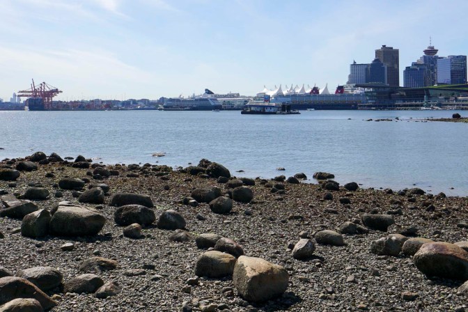
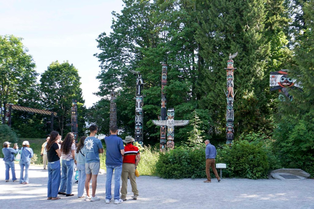
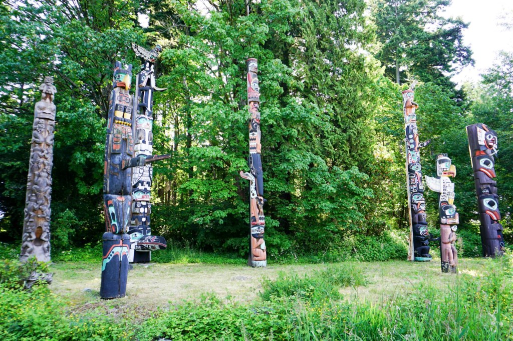
Our objective the following day was to see Stanley Park which was within walking distance of our hotel. It was much bigger than I had expected from my Great Aunt’s descriptions all those years ago. We more or less circumnavigated the entire park and took some side paths into the interior.
Of course, visiting the totem poles I had heard about in childhood was a highlight – they have actually been replaced / repaired since those times in the 1960s
Views of Lions Gate Bridge were also prominent on my mental list of things to see.
A constant stream of float planes, many journeying to and from Vancouver Island caught our eyes.
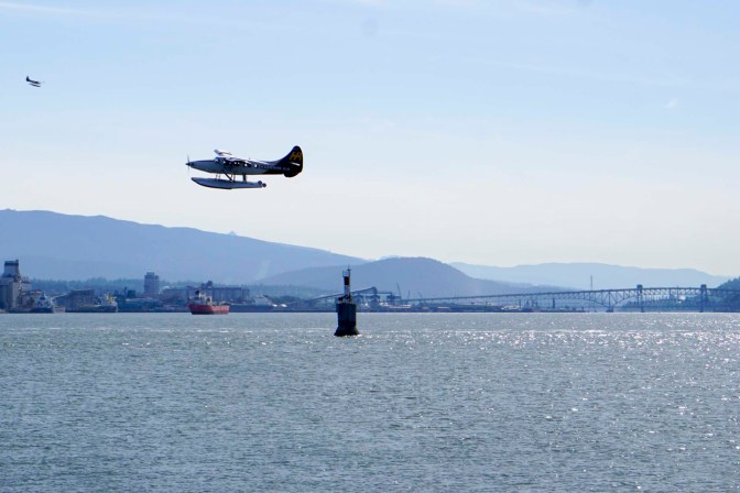
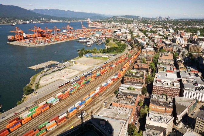
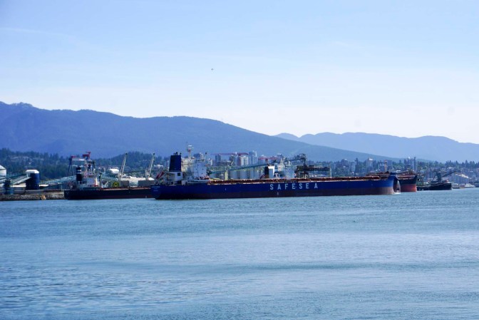
We could envisage just how huge Vancouver port is – it is actually Canada’s largest port and the fourth largest in North America. It really is vast with terminals for different cargoes stretching for many kilometres around the shoreline.
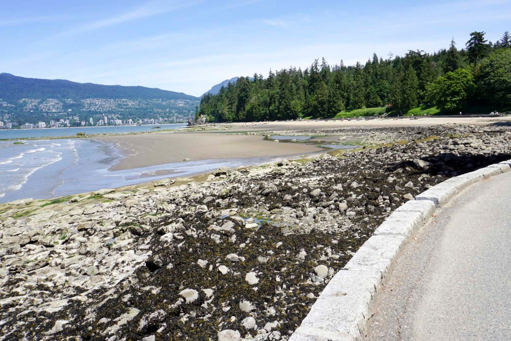
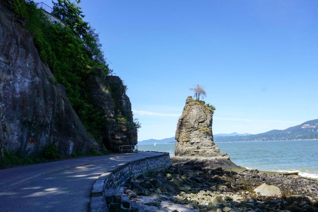
We walked past beaches and cliffs.
We walked inland to wander around the wetlands near Beaver Lake.
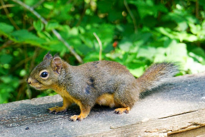
We walked around the Lost Lagoon area.
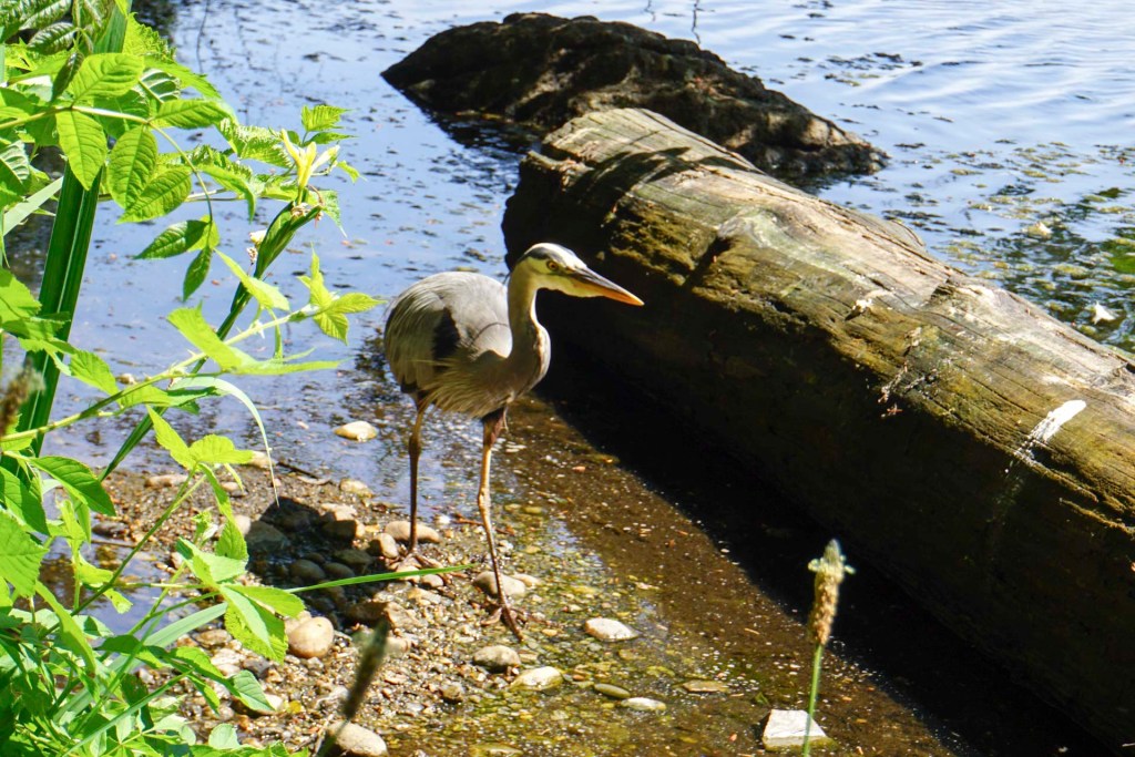
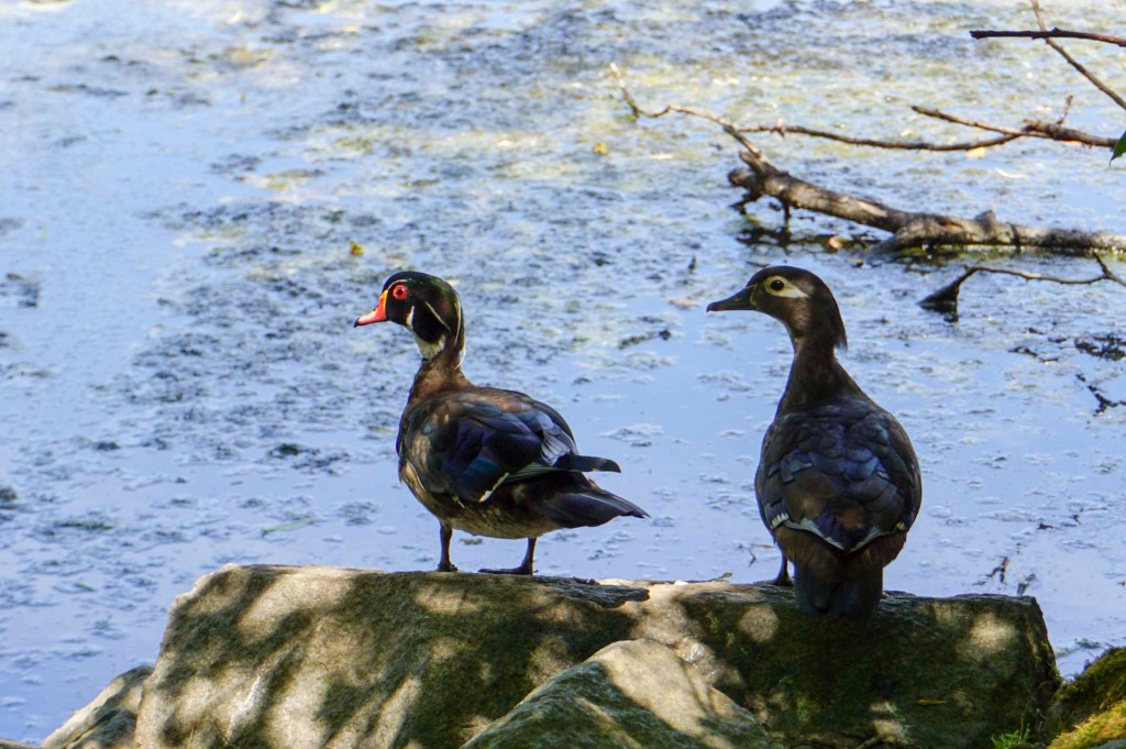
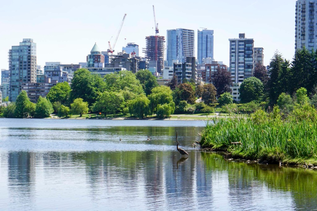
Eventually we left the park and walked over Burrard Street bridge then through a maze of streets past high end car dealerships to reach Granville Island.
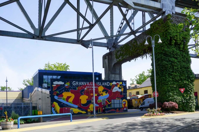
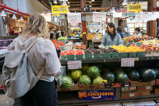
It’s not an island but rather a man-made peninsula, previously a place for factories but now housing Western Canada’s largest public market and a “cool” place to hang out.
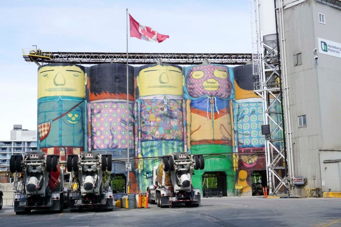
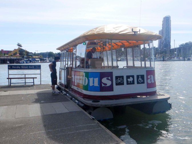
We returned to Downtown Vancouver on a rainbow-coloured foot ferry.
Our final day in our long visit to Canada had arrived. We packed for the last time, leaving our main luggage at the hotel, and making for the nearby Vancouver Art Gallery. my husband decided that as we had to get to the airport at about 6pm, it was too risky to stray from central Vancouver from where we could easily get a taxi to the airport.
At the art gallery, there was a major exhibition of the works of Emily Carr, an early twentieth century Canadian artist who gained inspiration from the impressionist and modern art movements in France before returning to Canada. She developed a distinctive style with tree landscapes often painted in portrait format and gaining the feeling of entering into the forest. She painted a few mountain scenes, portraying the mountains as “safe” places. Early in her career she painted human figures but later she destroyed most of these. She was keen to incorporate the emotion of her subjects into her art.
A second exhibition concentrated on climate change and geography with different types of sculpture, modelling, pictures including photography and film. Many of the exhibits were very shocking and designed to make a statement – for example mountains of discarded mobile phones and related technology. Exhibits prompted those visiting to query their own lifestyles. Issues of safe water availability, flooding, destruction of habitats, killing whales and killing poor people especially island populations who have barely contributed themselves to the global warming crisis were tackled using a variety of media.
We also saw an exhibition of photographs by Steven Shore, an American photographer, mainly based on the theme of long road journeys. We also looked at the exhibits currently on display from the archives – especially photography, contemporary art and street art.
I have to admit that despite my reluctance to visit another art gallery, it was an interesting day.
Eventually it was time to walk through the streets of downtown Vancouver for a final time and the taxi drive to the airport. Vancouver Airport was a treat – it’s extremely spacious with water features, an immersive island exhibit, a large aquarium tank and displays of local art including by Indigenous Artists. Our plane was over an hour and a half late taking off but the ambience of the airport was so relaxing that the time passed quickly. There wasn’t even a scramble when we were called in groups to get on to the plane!
We had enjoyed our long journey across Canada. It’s certainly a huge and diverse nation and we had only seen a very small selection of a tiny fraction of the country during our five week expedition.


‘ve got as far as the 11th May, will pay a second visit to carry on the story. Have to say an amazing effort to put all this in one post. And secondly Jasper looks amazing
LikeLiked by 1 person
Thank you. Yes I really enjoyed Jasper especially being able to go to the summit of Whistlers and see Mount Robson – incredibly fortunate with the visibility. Thank you for persisting with the read – it’s only when I return from adventures and write up my blog that I realise just how much I have done in the time!
LikeLiked by 1 person