17 February 2026
I decided to tempt fate after my walk in dry conditions at the weekend and head up to Dartmoor on another day with dry weather forecast although sandwiched between rainy days. It turned out that good fortune was on my side.
The shorter way from Exeter taking the B3212 past Dunsford to my destination is closed for at least eighteen weeks in order to repair a landslide which could otherwise become more catastrophic closing this locally strategic road for ever. Hence I drove on the A30 to Whiddon Down before taking the A382 to Moretonhampstead and the B3212 to my start point at North Shapley Common. There are some short cuts along narrow lanes but I envisaged a high risk of having to do lots of reversing on single track roads.
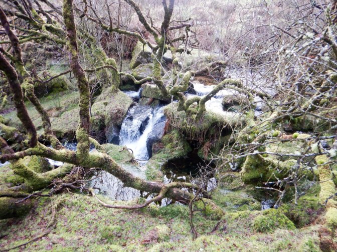
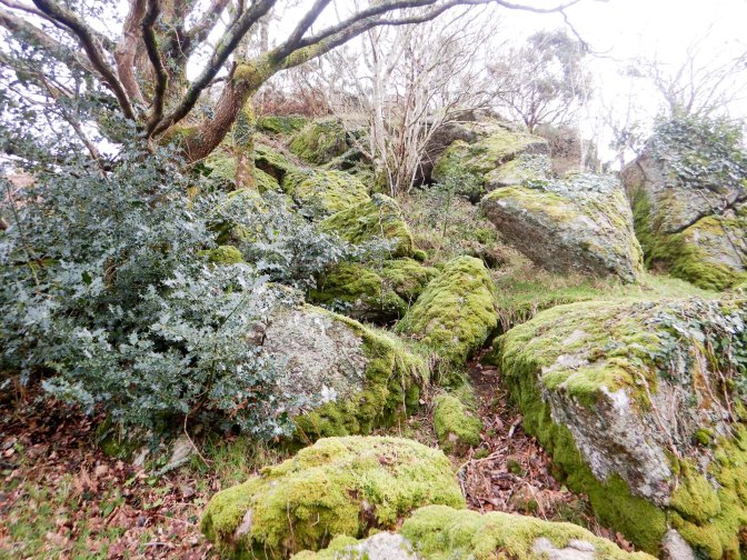
After parking my car I found Green Combe Rocks very quickly and decided to deviate a little from my planned route to reach Curlicombe Brook and Green Combe Gorge. It’s a really beautiful stream with multiple small waterfalls and pools. It would be a lovely spot to enjoy a picnic in warmer weather. I was pleasantly surprised that fording the stream was straightforward even after all the rain.
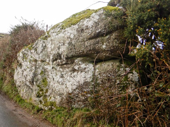
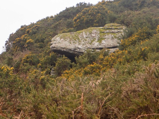
Having followed the stream, I ascended to the path on the west side of the valley to reach the very quiet road towards Jurston. On the way, I passed Jurston Rocks, seen from the road.
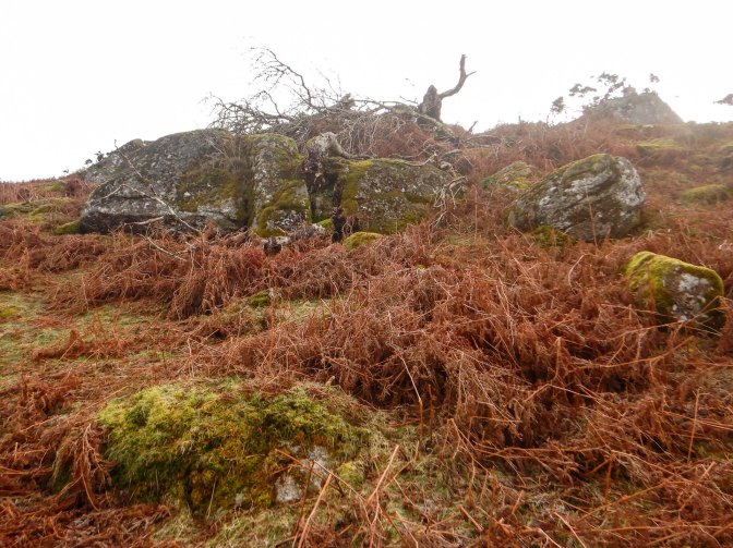
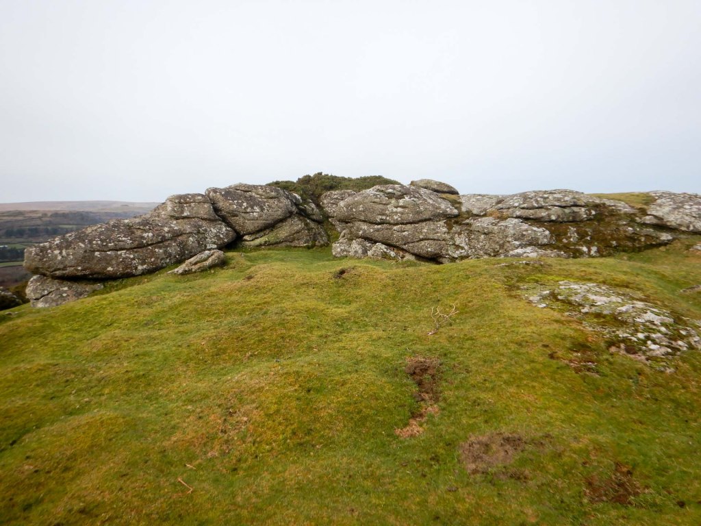
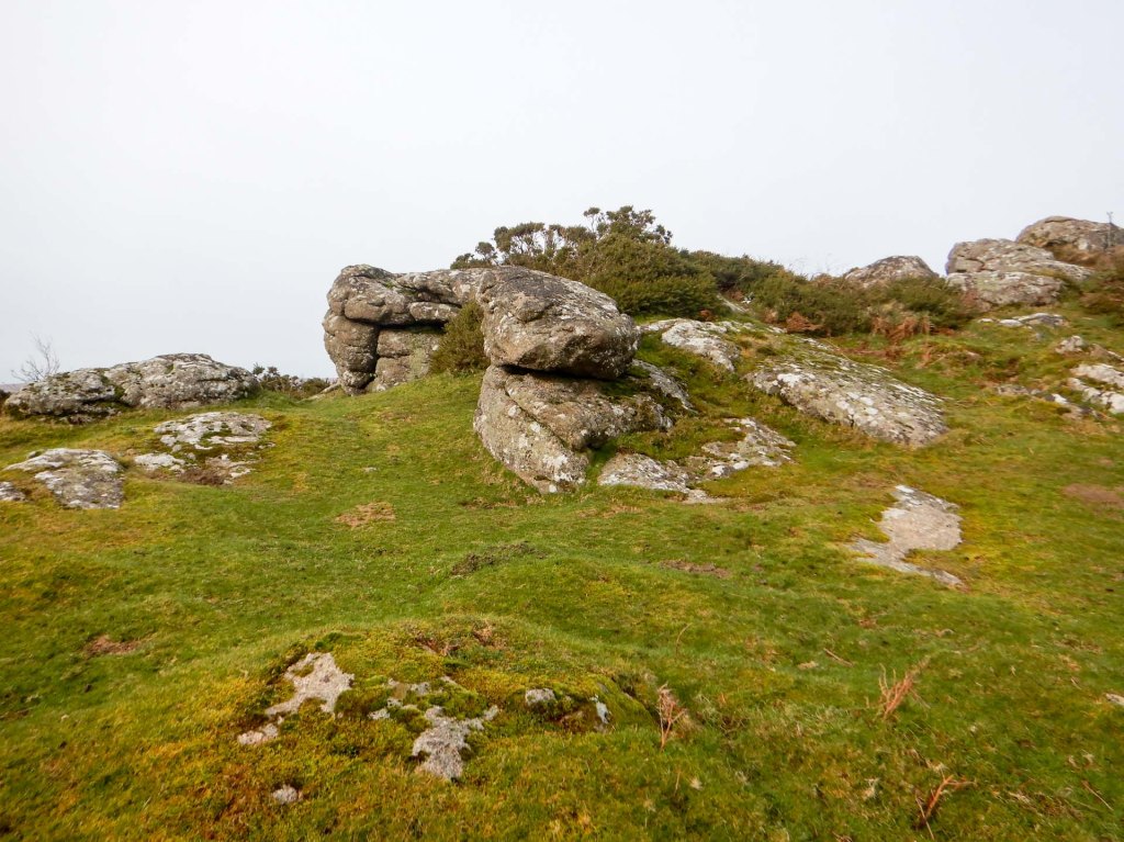
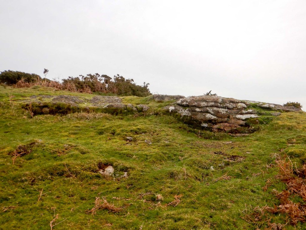
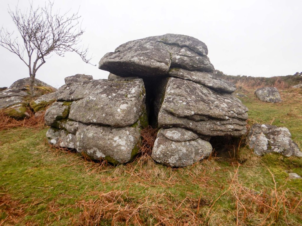
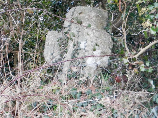
The road becomes even more rutted and signed as unsuitable for motor vehicles. I reached Meldon Common where I took off a couple of layers of clothing before contouring round the west side to reach Tunnaford Rocks. This was my fourth rock outcrop of the day but none of them are named on the OS map or included in the LDWA list of tors to “bag”. However they are all listed on https://www.torsofdartmoor.co.uk/index.php. This site is invaluable as a resource!
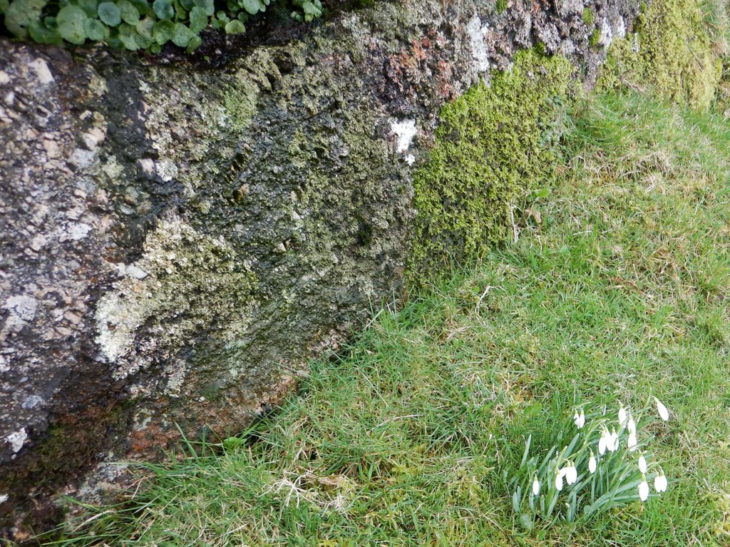
After touching Tunnaford Rocks and taking the obligatory photo, I proceeded to climb Meldon Hill itself. https://www.torsofdartmoor.co.uk/index.php lists six outcrops and I visited all of them. I even found a “post box” and stamp hidden in a crevice at Meldon Hill West as well as some snowdrops growing close to one of the rocks. Only Meldon Hill summit is named on the OS map and that’s the sole tor here that’s on the LDWA list. It’s actually nowhere near the largest outcrop on the hill.
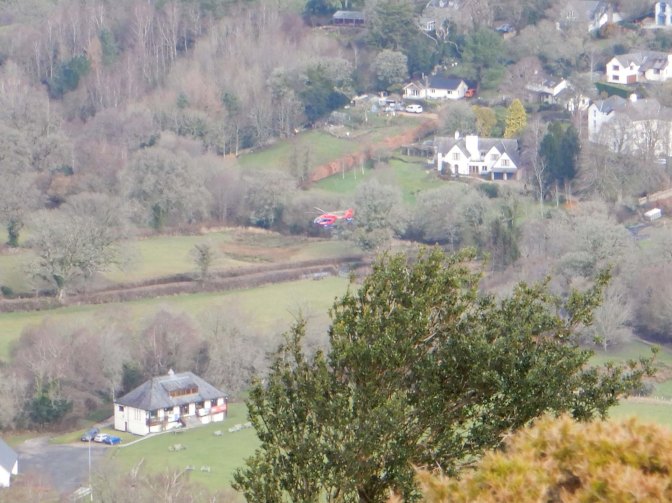
I heard and then saw the Devon air ambulance which landed in a field between Chagford recreation ground and a road. The helicopter was on the ground for a long time – from their website I have found that they were treating a road traffic accident victim whilst waiting for a land ambulance that conveyed the casualty to hospital. Devon Air Ambulance is funded by charitable donations – it flies two helicopters as well as running a fleet of four critical care cars, all designed to assist in saving lives in emergency situations when time really counts. It’s definitely an important part of the community especially in rural parts of the area.
I thought I was the only person on the hill but just before turning to descend down the northern slopes, I spotted a woman and her dog enjoying the scenery near the south rocks.
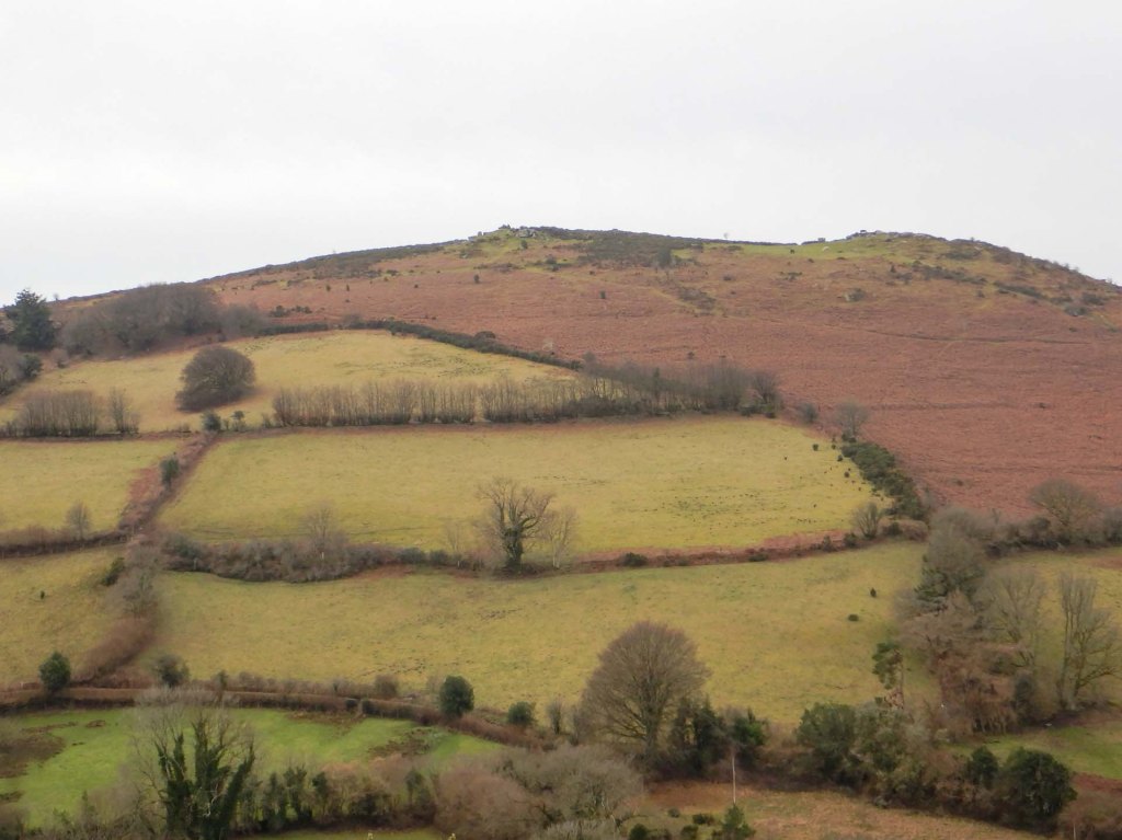
There followed a steep descent and then I continued on a muddy path to the east leading to a small lane south of Chagford. I negotiated my way past three bullocks on the road – fortunately more interested in grazing opportunities on the verge than in approaching me. I turned uphill on to Nattadon Common, passing Nattadon Tor as I ascended the steep slope.
I climbed to the top, crossing ditch remnants of the Iron Age hill fort. There is some exposed stone on the summit but some more tor-like piles to the south from where there were also fine views looking back over Meldon Hill.
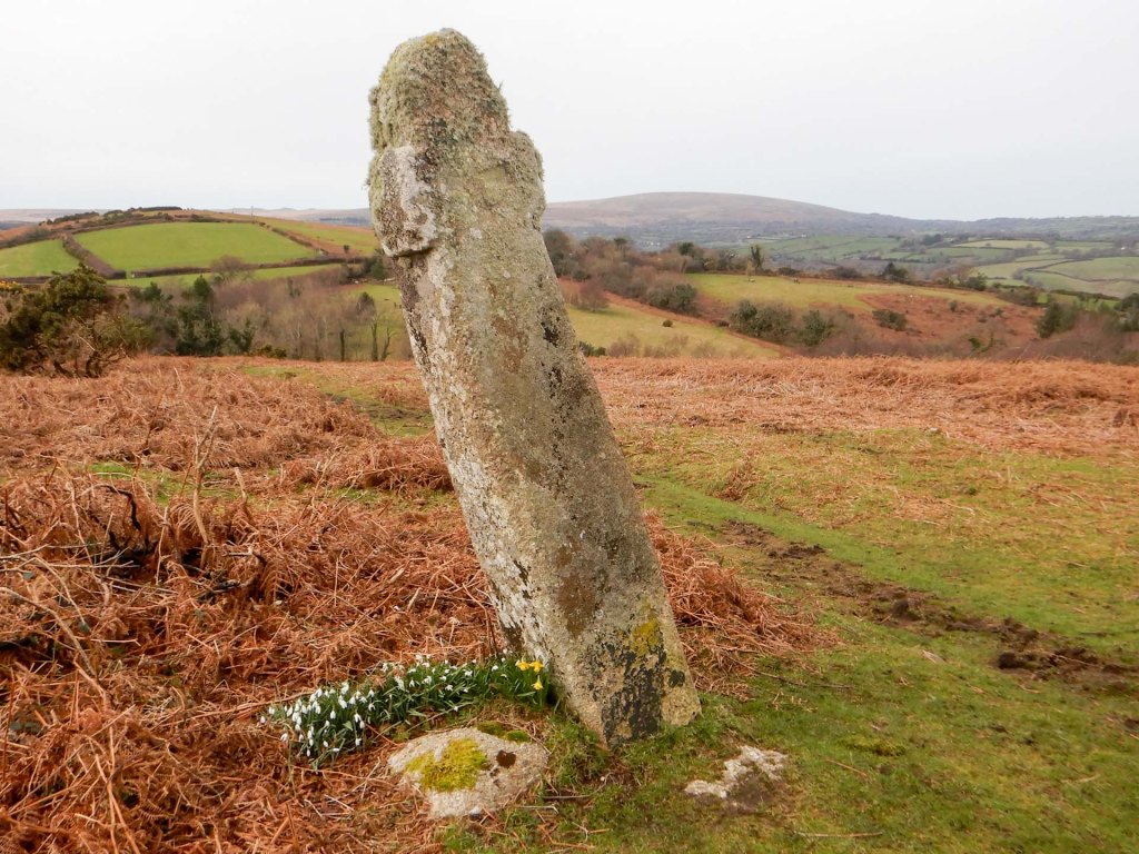
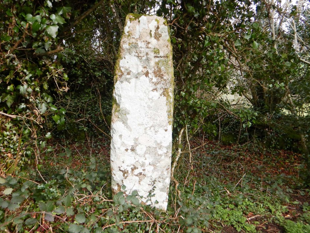
I ate lunch sitting on a conveniently placed seat almost as I left Nattadon Common on its east side. I followed a very narrow lane past Week Down Cross and Shorter Cross, both waymarkers for the ancient track from Moretonhampstead and North Bovey to Chagford. I could have turned off on to a footpath before reaching either of the inscribed crosses, but the lane had seemed so quiet that I stayed on it and the crosses were a “bonus”.
In fact I was on tarmac all the way to the exclusive Bovey Castle Hotel grounds where I turned on to a path that meandered through the grounds crossing part of the golf course. The path through the grounds was well signed; there are a couple of tors in the grounds but they aren’t near the right of way and apparently can only be accessed by payment of a fee.
After traversing the grounds of Bovey Castle, I emerged on another narrow and quiet lane then soon turned on to another lane which had a “road closed” sign. I walked uphill and turned on to a byway so I didn’t discover why the lane needed to be closed. I was ascending all the time then turned off to ascend even higher over Easdon Down.
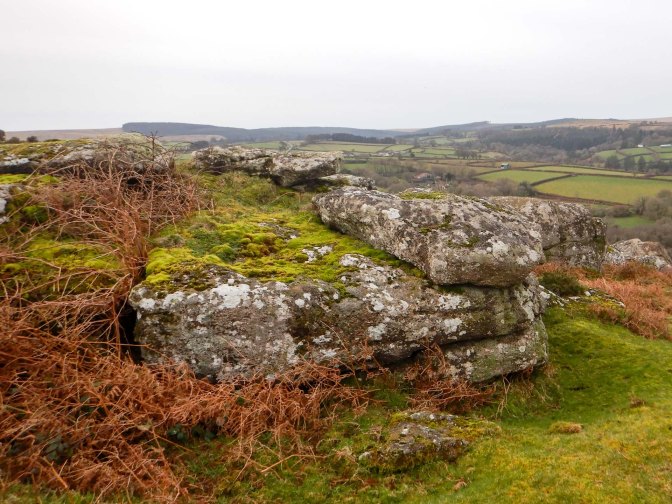
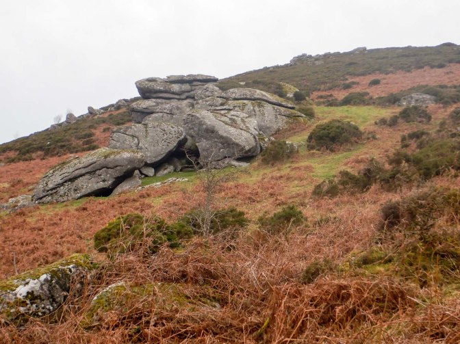
My first target was Langdon Rocks, which I eventually reached after traversing a lot of gorse bushes. However the rocks themselves plus a surrounding area were clear of gorse.
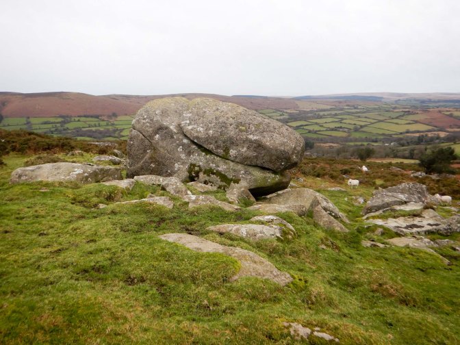
I managed to navigate a less prickly path away from the rocks and towards Bowda Tor. It looked as though walking there would be more difficult later in the year once the bracken has grown.
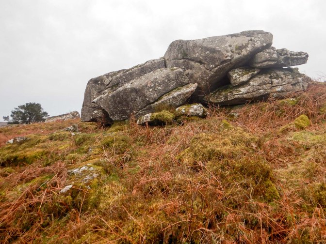
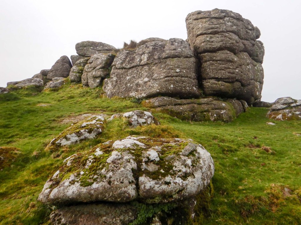
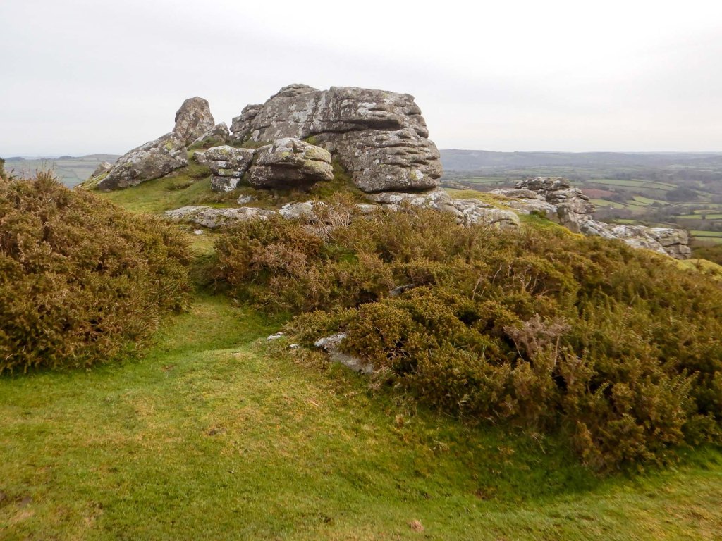
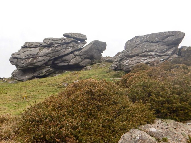
I stopped only briefly to take the obligatory photo, as my eyes were drawn to the more impressive outcrop: Figgie Daniel. This isn’t on the OS map but is included in the LDWA list (along with nearby Easdon Tor). The name Figgie Daniel may relate to a moor man who farmed in the area (https://www.torsofdartmoor.co.uk/tor-page.php?tor=figgie-daniel). The outcrop rivals the more well known and well marked outcrop of Bowerman’s Nose across the valley from here on Hayne Down. It’s definitely a great viewpoint including Great Hound Tor and Hay Tor Rocks in the sweeping vista.
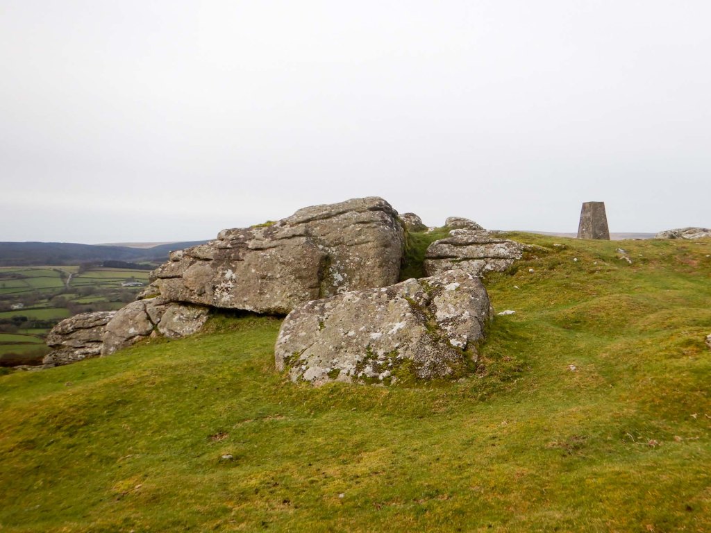
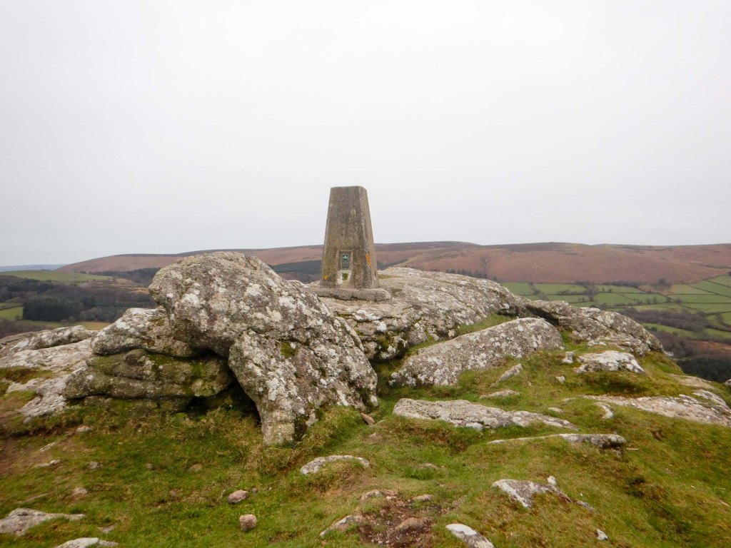
I continued to Easdon Hill and then to Easdon Tor itself where there is a trig point. There would have been more tremendous views across much of north east Dartmoor but my attention was taken up with trying to avoid getting too near to some cattle close to the summit.
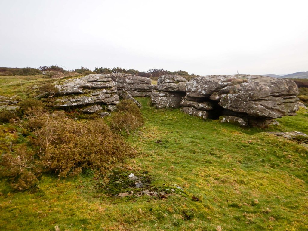
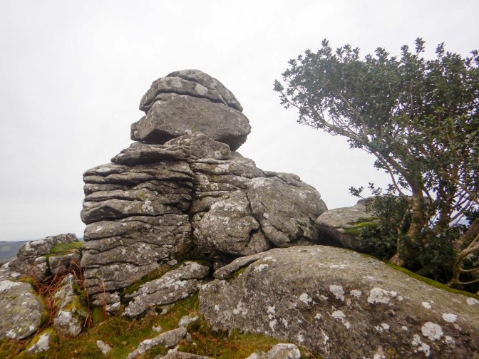
I thought that I would have to omit visiting the Whooping Rock just to the south of the summit but fortunately the cattle moved away. The rock is marked on the OS map but not as a tor on the LDWA list. It was previously said to be a logan stone (rocking stone) and possibly the uppermost rock on the pile is the one that rocked in the past (https://www.torsofdartmoor.co.uk/tor-page.php?tor=whooping-rock). The same source explains that the name “whooping” rock probably originated from the belief that children placed in the midst of a flock of sheep will be cured of whooping cough and so this rock being a place where flocks congregated was a likely place of cure.
I continued on to reach Easdon South Tor.
From Easdon South, the short walk to Boodown Rocks was challenging as I could only find a way through waist high gorse. In fact at one stage I wondered how I would be able to escape from the gorse as the needles punctured my clothes and prickled my skin. The resulting petechial rash on my legs and hands could certainly have caused alarm for the medical profession afterwards if I had any reason to consult and wasn’t able to provide my explanation!
After reaching the rocks, the next challenge was leaving them as I certainly didn’t want to get out by the route I had arrived. I seemed to be surrounded by gorse! However eventually I managed to extricate myself, reaching a path on the perimeter of the open moorland.
I followed a track to the road at Easdon Farm and continued to a junction where I turned down an even smaller lane, eventually reaching a branch of the Two Moors Way / Mariners Way at West Combe. The helpful farmer standing in the driveway reassured me that the path did indeed pass through the farmyard very close to the house. I followed the path past Moor Gate, noticing Leeper Cross originally marking the junction of ancient tracks between Exeter/Tavistock and Chagford/Bovey Tracey. Thanks to http://www.dartmoor-crosses.org.uk/index.htm for the information about the crosses.
I was soon on the B3212 which I followed for a few yards to where my car was parked. Several Dartmoor ponies provided a welcoming reception for me in the car park but soon left when they realised that I wasn’t going to give them any food!
I was very fortunate to have enjoyed my second dry day on Dartmoor within a week and I had bagged several new tors including four on the LDWA list, taking my total from that list to the next landmark – over two hundred and fifty.

We went to Fernworthy reservoir at the weekend, lots of the roads in that area are closed at the moment due to the road being washed away along the devon hedges or huge potholes. The winter rains have damaged so many of the roads on Dartmoor. I do like Figgie Daniel, my favourite in that area
LikeLiked by 1 person