14 February 2026
There hadn’t been dry weather for a long time and the only potential hazard was the yellow weather warning for ice. However, I arrived at Princetown without incident, and only noticed the first icy patch as I parked my car.
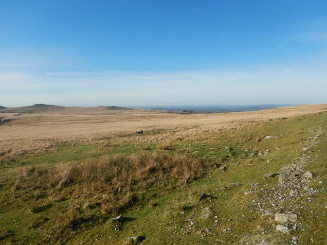
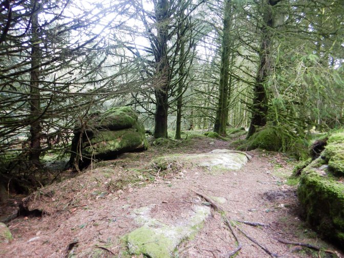
The disused rail track past old tin workings and quarries made for easy walking; there was barely a cloud in the sky and I was soon surrounded by magnificent Dartmoor scenery including multiple tors.
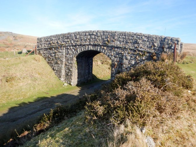
I took a short cut to omit the loop round King’s Tor and was soon at my first objective close to a disused railway bridge. This was Fur Tor (Meavy) – not to be confused with Fur Tor (Tavy) which is reputedly the most remote tor on the moor and surrounded by bog. In view of the recent rainfall of Biblical proportions, reaching Fur Tor (Tavy) would certainly not be an easy undertaking at the moment. Surprisingly, as it is definitely a discrete tor, Fur Tor (Meavy) isn’t named on the OS map.
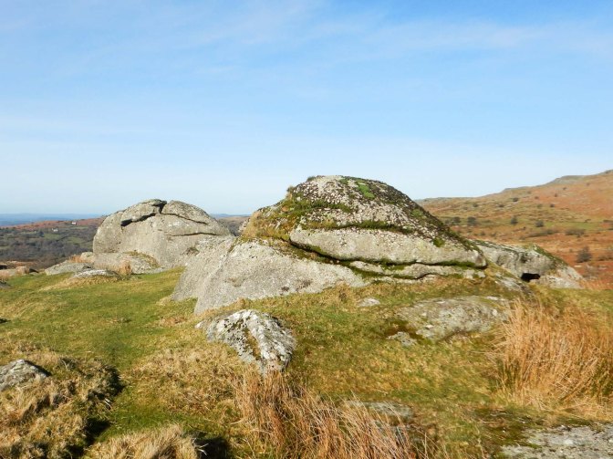
Within minutes, I had crossed the railway bridge to arrive at Yes Tor (Meavy) – again not to be confused with the larger and more well known Yes Tor on the north moor. This is also absent from the OS map.
Despite having walked past these tors on previous expeditions, I had never previously “bagged” them as I’d concentrated on the tors named on the maps.
I continued along the disused track. It seemed quite busy for February but it was a Saturday and not raining. The track curves round Ingra Tor but I didn’t climb up to the rocks as I’ve been there before.
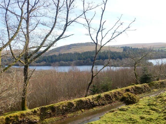
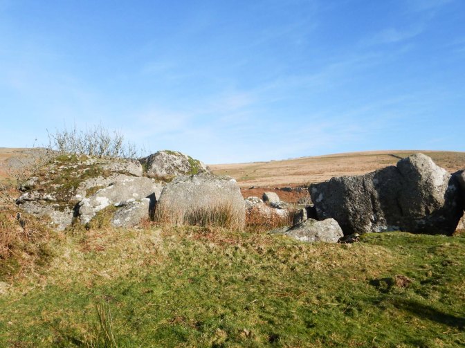
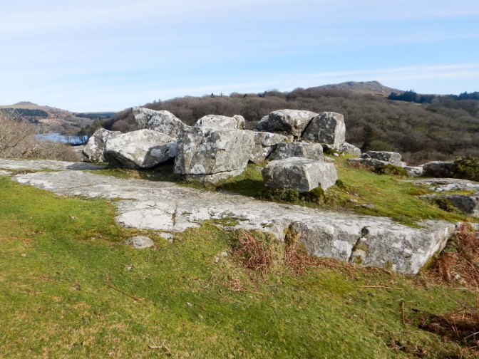
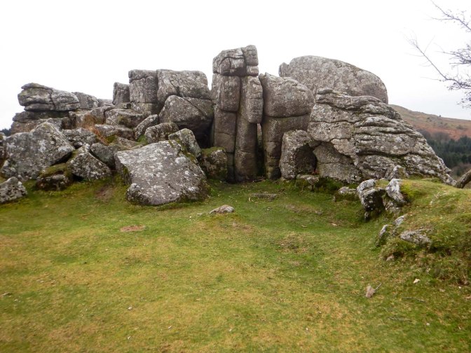
Soon I saw Burrator Reservoir below the path. I continued to reach Claig Tor. This is a fine vantage point and there are a couple of stone benches so I took a break and an early first lunch stop.
I made my way down to a nearby car park which was more or less full. An ice cream van made a circuit then headed off towards the reservoir to find a place to park. Actually despite the low air temperature, it was pleasantly warm in the sun so perhaps some people would be tempted by ice cream.
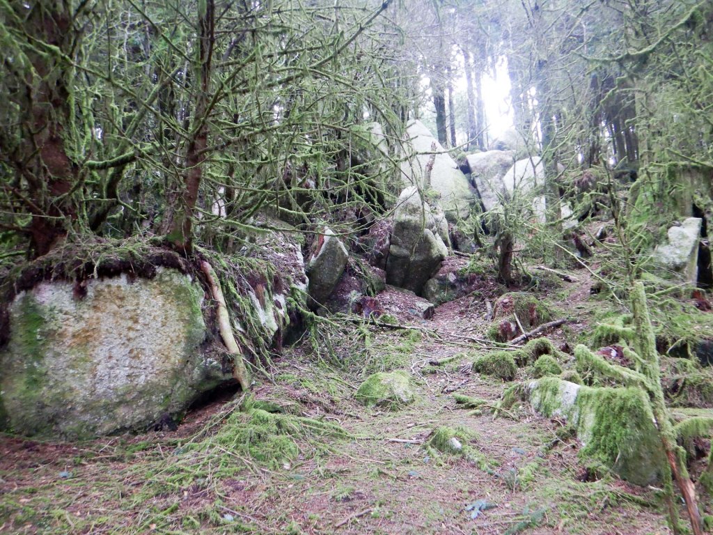
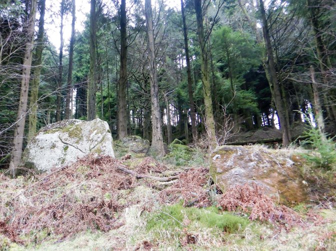
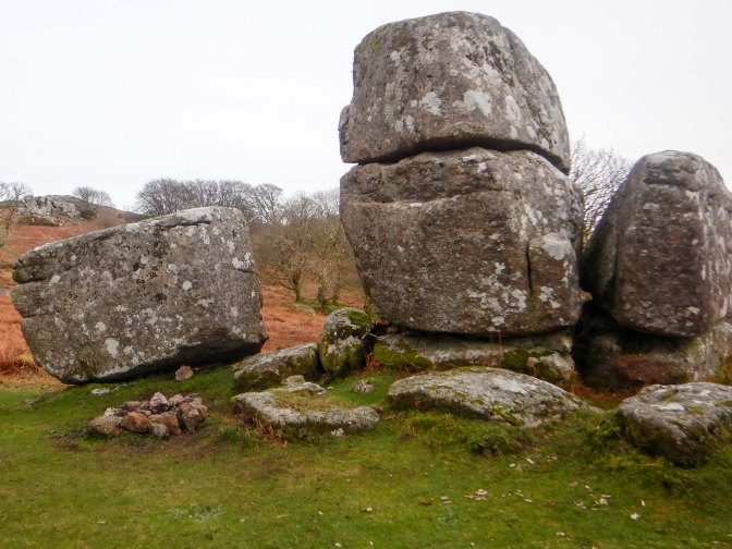
I continued to walk towards the main dam, actually built using stone from part of Claig Tor. I took a shortcut along a busy path across the second dam then turned off the road to reach Roughtor plantation and soon left the crowds behind me. The database https://www.torsofdartmoor.co.uk/index.php is an incredibly useful source and lists nine separate rock outcrops with accurate grid references in Roughtor Plantation. I passed Lower West Rough Tor and West Rough Tor as I walked along what was probably an old logging track.
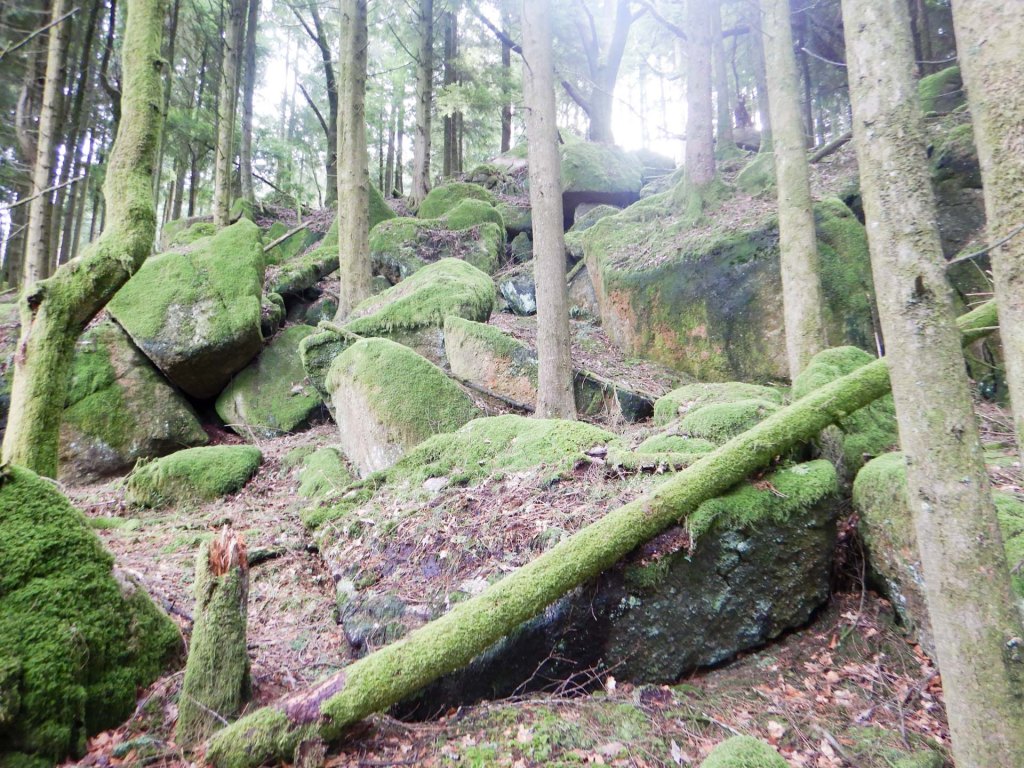
I photographed all seven of the following tors – actually only one is listed on the LDWA tor bagging list and that’s the main Rough Tor which isn’t the most impressive outcrop. https://www.torsofdartmoor.co.uk/index.php warns to take care to avoid mine shafts but at this time of year there’s less undergrowth and I didn’t have any difficulty.
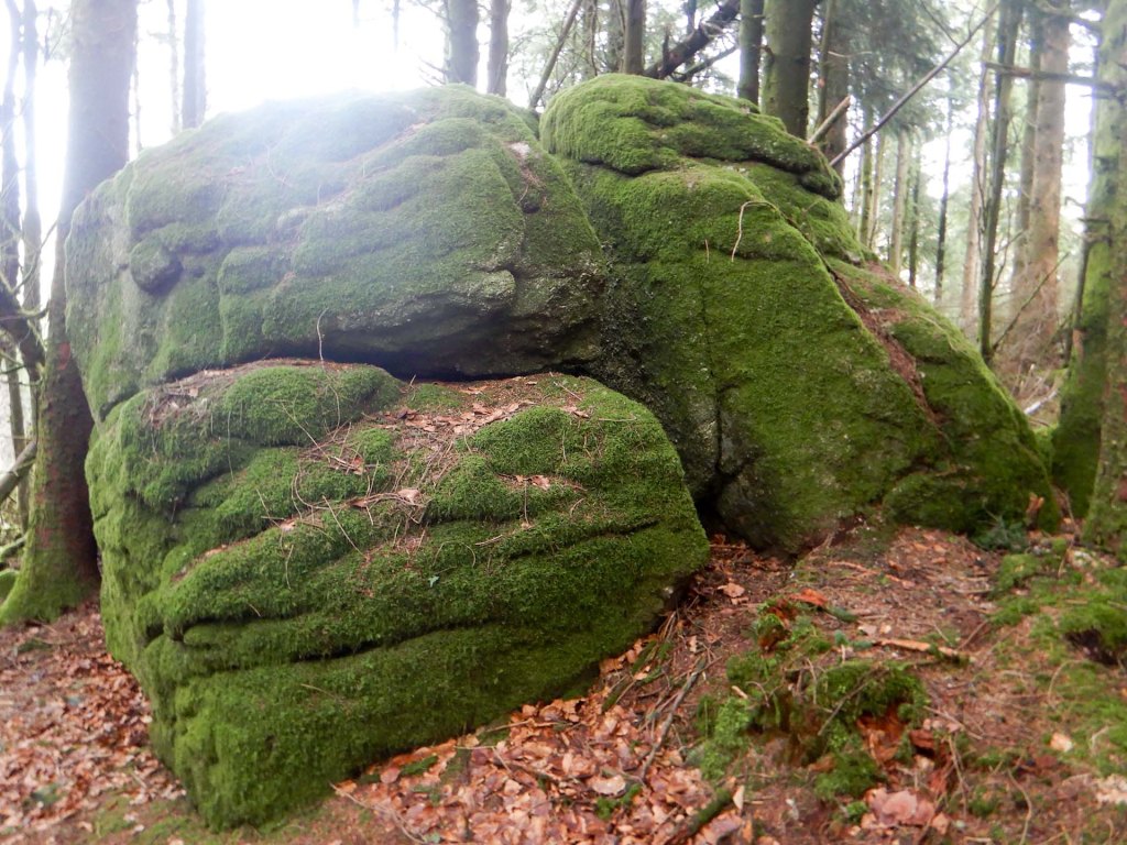
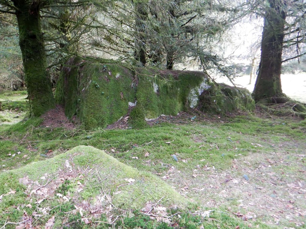
I was delighted to identify the various outcrops and compare my findings with the photos on the Tors of Dartmoor Database.
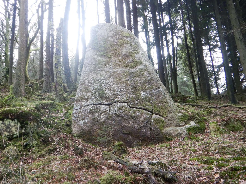
I headed off on the bridle path, meeting several groups of walkers and families, before turning off to climb to Snappers Tor on the ridge up to Down Tor- again not shown on the OS map even though it’s an obvious outcrop.
I should have stayed on the bridle path a bit further as I realised that I’d missed Middleworth Tor, further down the ridge. However, I walked down to it. A man was bouldering on the lower outcrop and his dog barked at my approach so I was satisfied with photographing the upper outcrop with a view up the ridge towards Down Tor on the summit.
I returned uphill past Snappers Tor and reached Little Down Tor where the view to Burrator is impressive so I sat on a rock to eat the remainder of my lunch.
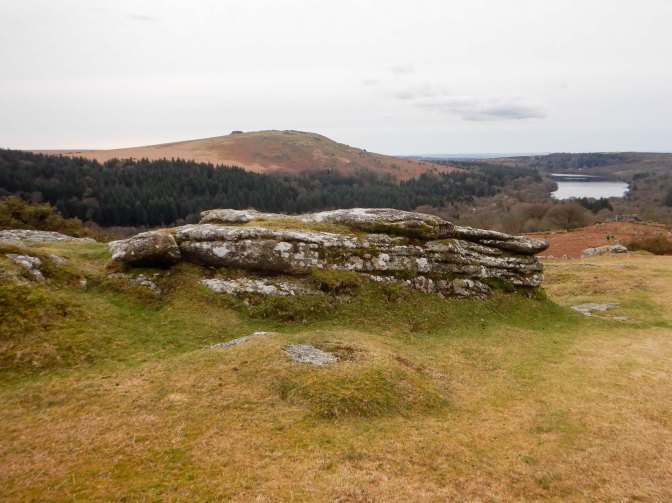
I’ve bagged the main Down Tor previously – it’s marked on the map and a large summit tor so it’s an easy target! However, I climbed to the top to enjoy the magnificent views over the remote moor.
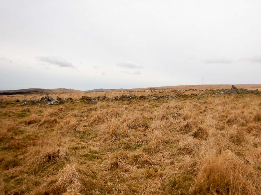
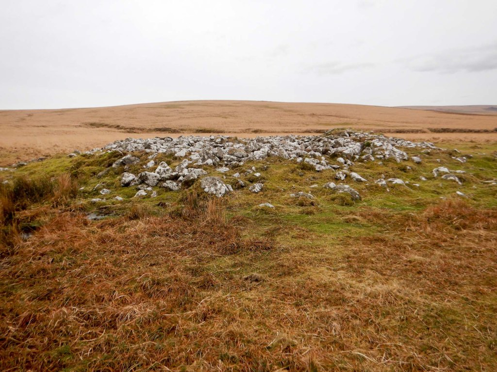
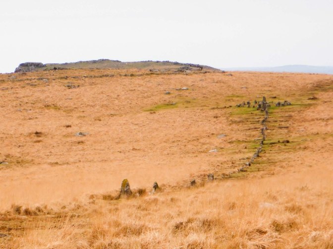
I proceeded to yomp across country, passing close to an impressive stone row ending in a stone circle. I passed closer to a small Neolithic enclosure and the remnants of a stone chambered cairn. The whole area is pockmarked with ancient remains and it’s amazing to think about the people who settled on the moor all those thousands of years ago.
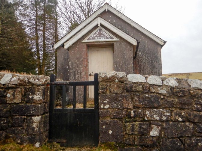
I reached areas of disused tin workings before arriving at Nun’s Cross (a landmark on the moor since Medieval times) from where it could have been an easy trek on the track back to Princetown. However, I turned off to Peat Cot where there’s a disused Wesleyan Chapel – apparently the last service was held there in 1983.
I had hoped to have time to cross the Dartmoor Way path and visit Blakey and Round Hill Tors. However, it took longer than I had hoped to walk over pathless terrain so I ended up following the Dartmoor Way back to Princetown and my car. It hadn’t rained all day and I had visited seven “new” tors on the LDWA list (plus all the extras at Rough Tor plantation and a revisit to Down Tor). A grand day out!

Blakey and Round Hill Tors, go nicely with Prince Hall Rocks and Royal Hill so always good to save them and add them to a walk out from Princetown or Hexworthy. Prince Hall Bridge is a nice visit if in that area as well
LikeLiked by 1 person