16 May – 4 July 2025
My journey on the E1 was cut short in 2024 after I injured my back slipping and falling on a wet rock. Although I did a fair bit of walking through the ten months after the injury, I saw a physiotherapist regularly and worked faithfully on my prescribed back exercises almost every day, indeed usually two or three times daily. The aim to spend fifty days in Sweden carrying a large rucksack weighing around 20kg and to walk over 1100km mainly on rough paths in remote areas seemed ambitious and possibly even audacious and unrealistic.

Over the winter I spent many hours studying the route, looking at potential overnight stopping places and working out where I would be able to restock food and camping stove fuel supplies as I planned my schedule. I also printed off freely available sections of Lantmäteriet 1:50,000 maps as appropriate, marked my route on them and waterproofed the paper using Nikwax clothing waterproofer. This was less expensive than buying paper maps and lighter to carry as well as meaning that I could dispose of each piece of paper once I had finished with it. It appeared plausible to start walking from Göteborg where I had stopped in 2024 and to reach Grövelsjön from where there is a bus to Mora which has train connections to Stockholm and hence flights back to UK. I factored in a spare day in case I got behind schedule as well as a generous time allowance for the journey from Grövelsjön to Stockholm. Fifty days was the limit as it’s the maximum allowed as a single trip on my multi-trip travel insurance; increasing the duration is prohibitively expensive.
Day 1 Friday 16 May
At last the departure day had arrived. Somehow I ended up checked in and through security at Heathrow far too early by 06.00am all ready for my 08.15am flight to Göteborg. A window seat on the flight meant I was able to make the most of the view in good weather with broken cloud. The scenery was superb as the plane flew following the Swedish coastline north towards our destination. The head wind led to a slightly late landing and my seating position near the middle of the plane meant that I was almost the last person off the aircraft (disembarking was both via the front and the rear doors).
The queue for security was so long that I had to check that I was actually in the correct line! The Göteborg half marathon was being run the following day and a large proportion of those on the plane were travelling to compete or spectate the event. Brexit has resulted in us being checked more stringently and in the “other passports” queue on entry to the Schengen area. We were even advised as we waited that we should have our return ticket ready to show the border guard. My return flight from Stockholm was in seven weeks but up to ninety days in one hundred and eighty is permitted and it was well over six months since I had previously been in the Schengen area.
The guard questioned me: “So you’re planning to walk round the city for seven weeks?” I explained that I was actually getting out of the city as quickly as possible and intending to walk on rural trails to Grövelsjön; moreover I hoped I would manage the whole journey rather than curtailing it due to injury as happened last year. These were reasonable responses as he smiled and said “I will pray for you” when he handed back my stamped passport.
My bag was already waiting on the conveyor belt because the security checks had taken so long. I headed straight for the bus stop with my pre-purchased ticket but just missed a bus, which was full anyway. I joined the back of the bus queue to wait for the following bus twenty minutes later; fortunately I was far enough along the queue to catch that one. It was well after 1pm when I arrived in central Göteborg; at least two hours after landing.
Lunch deals in Sweden are definitely the least expensive way to eat out and I was soon tucking into a generous portion of cooked pasta with meat plus buffet salad and as much coffee as I wanted for 129 Swedish krone (just under £10 which seems a good deal in the centre of a large city).
I had to buy some provisions and fuel for my stove. Co-Op nearby stocked the food I needed but no matches (which I wanted in case the piezo on my stove failed). Matches weren’t available from Seven-Eleven either or from another kiosk. I reached the outdoor shop: https://www.naturkompaniet.se/butiker/goteborg-ostra-hamngatan/ and rapidly located the dried food and gas canisters. They also sold specialist and expensive hurricane matches but at that time buying the matches and getting on my way was a higher priority than the expense. My purchases were complete so all I needed to do was pack them all into my rucksack and find the tram stop to travel to my start point at Skatås.
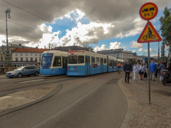
Sadly I had just missed a tram and for some reason it appeared that alternate trams weren’t running. I was getting used to long waits and I had already sent a message home to say that I would be walking late. Fortunately there are many hours of daylight so far north at this time of year. Paying at the machine on the tram with my credit card worked and an illuminated sign on the tram advertised the name of the next stop hence I managed to get off at the correct place: “Welandergaten”, and choose the appropriate road to reach the sports centre at Skatås.
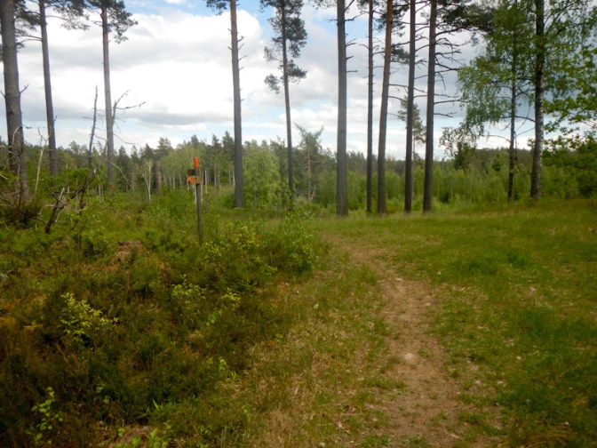
Unfortunately my track,Vildsmarkleden wasn’t signed from the sports centre. Using my paper mapping, I started to walk up the wrong one of the multiple paths and subsequently resorted to using electronic mapping on my phone (Garmin Explore) to navigate to where I was meant to be. It was at this early point I realised that the base map of Sweden installed as standard on my new dedicated TwoNav GPS wasn’t terribly helpful and I should have bought additional electronic Lantmäteriet 1:50,000 maps (these are the same as the paper map segments I was carrying). This was a pity as the TwoNav Aventura 2 in its rigid carrying case weighs over 300g so I was carrying a large unnecessary weight.
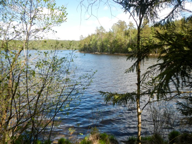
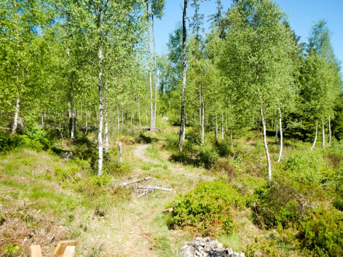
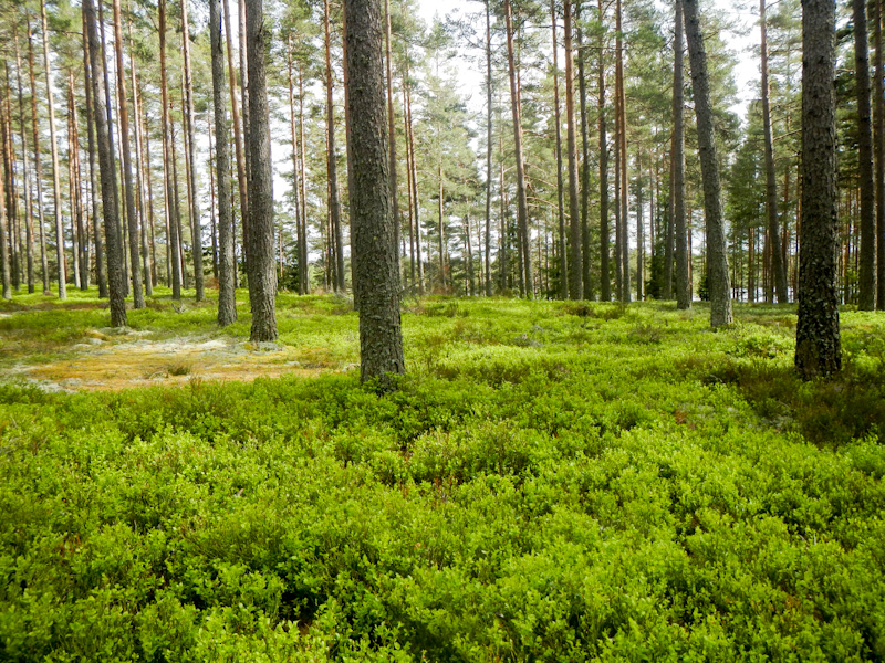
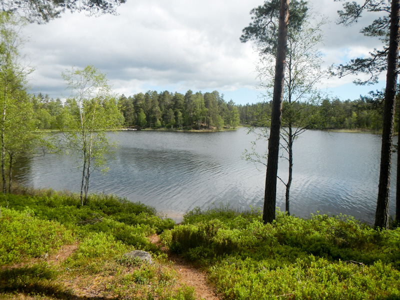
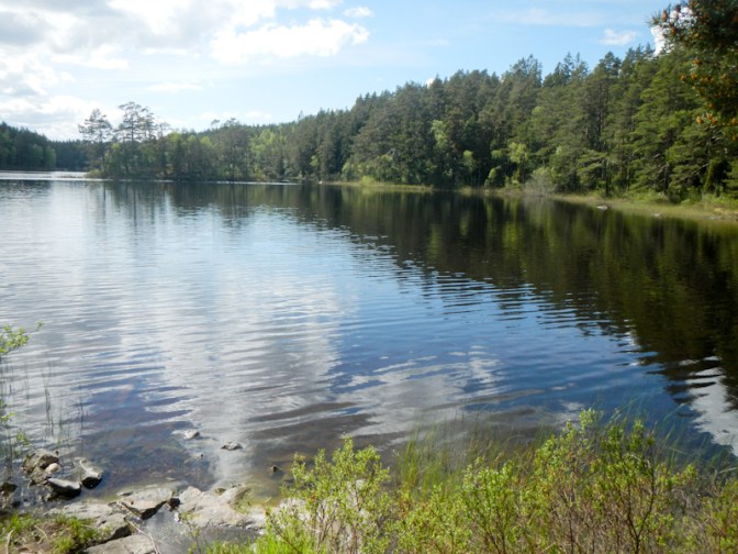
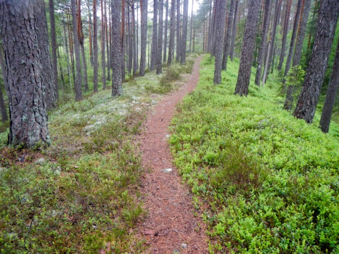
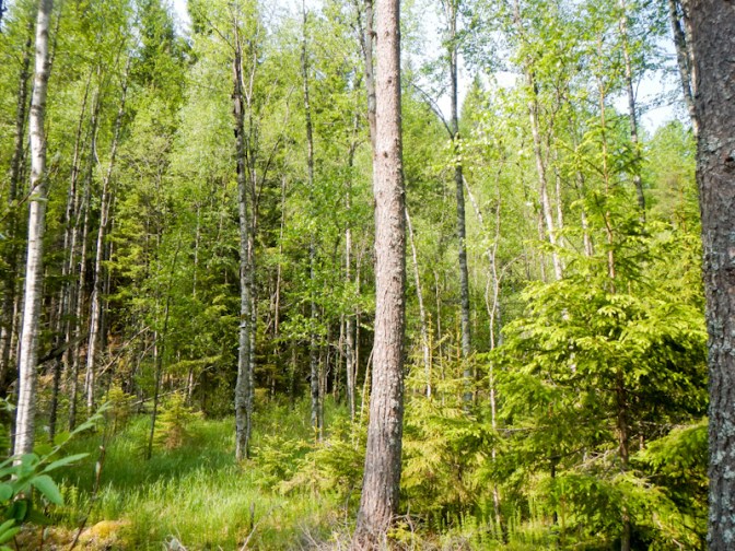
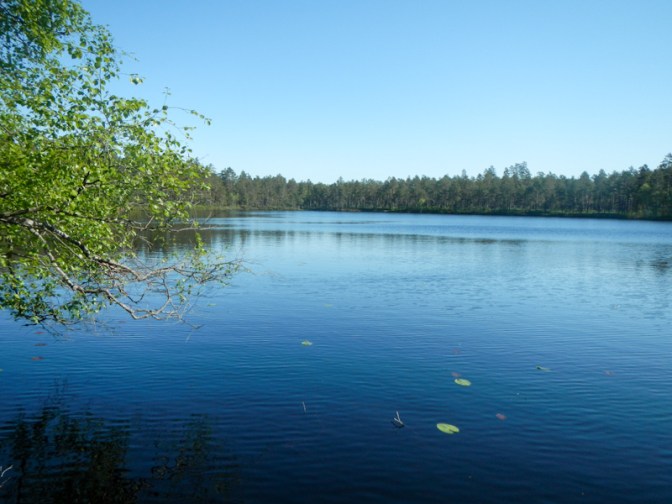
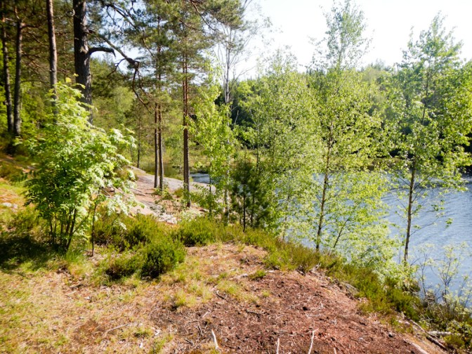
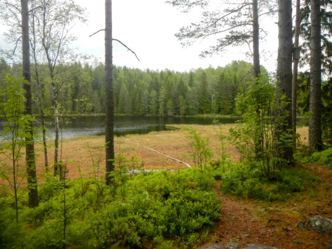
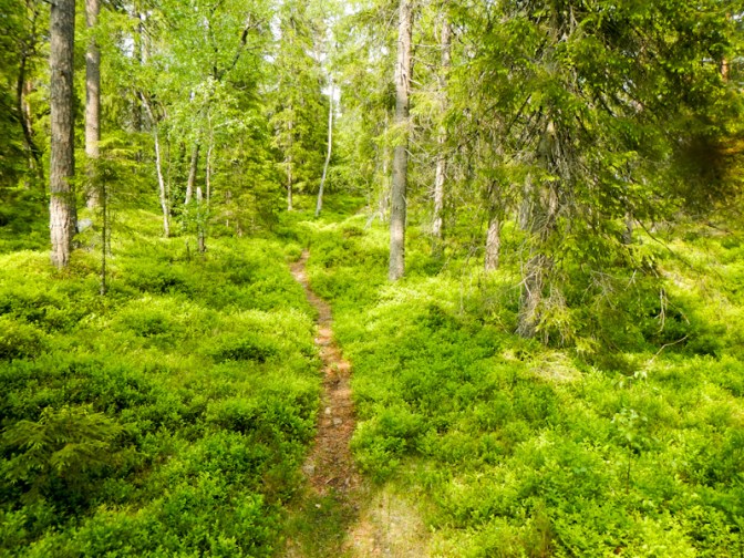
The weather was dry and warm; the path although stony and rocky in many places wasn’t slippery so, having found the correct path, I made steady progress over the hilly terrain through the forest and past a few scenic lakes.
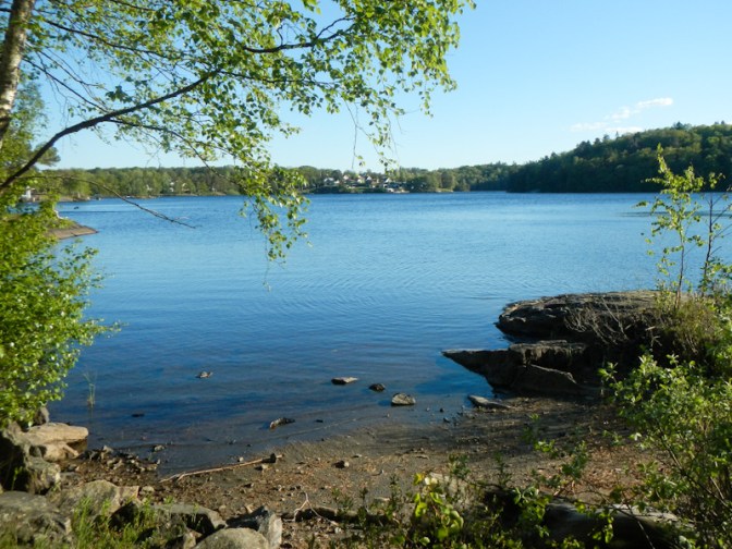
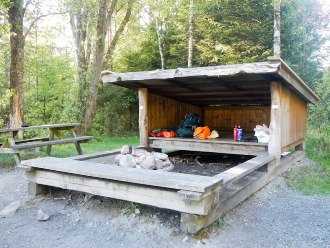
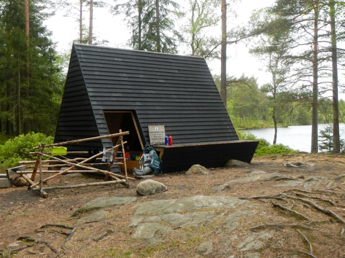
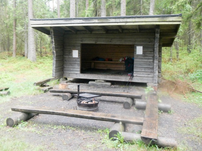
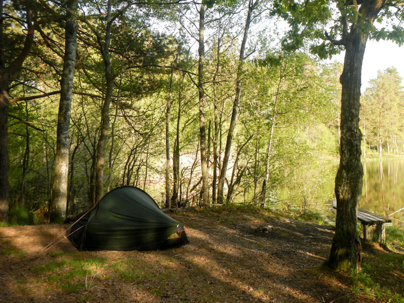
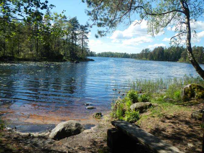
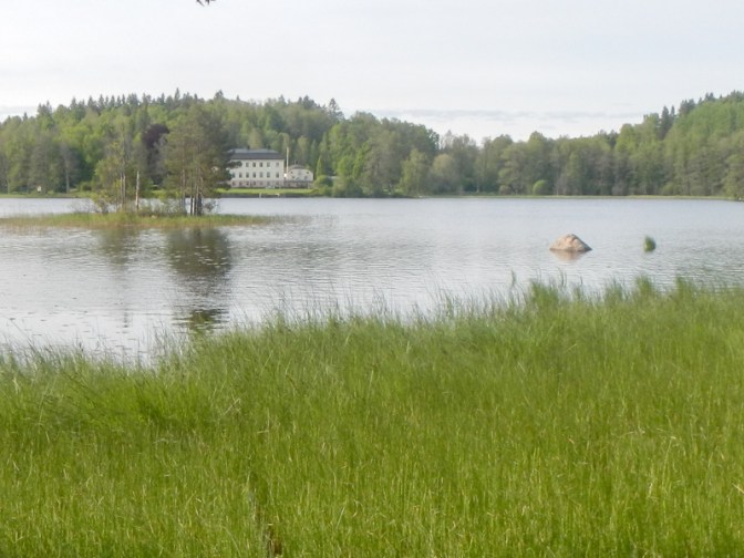
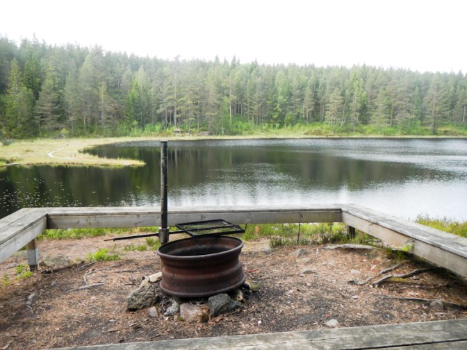
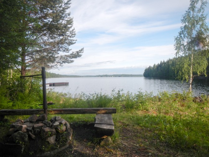
My options for the first night were a shelter at Lake Maderna (11km from Skatås) or to push on a further 4-5km to Stentjärnarna where I would probably have to camp in my tent because the shelter is reported to have a leaky roof. With all the earlier delays, it was 19.45 by the time I arrived at Maderna and I decided to stop there.
Day 2 Saturday 17 May
I woke early. It hardly seemed to be dark at all as early as 3am and eventually I got up just before 6am. Sadly my Thermarest air mattress had lost air overnight although only very slowly and it wasn’t fully deflated. The leak was too small for me to find while I was away; when I eventually arrived home I found a very small leak close to where the valve is attached to the mattress. I sent the mattress to Thermarest after forwarding them a photo and explanation and it’s something they have sorted out out under the warranty! In short, they replaced my mattress for the second time. Some of the internal baffles blew on my original mattress which was replaced last year – it’s definitely worth buying expensive equipment if this sort of service is included!
The shelter was right on the route. Eventually I was ready to leave just after 07.30am.

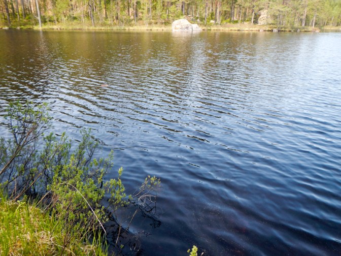
It took me an hour to reach Stentjärnarna where the shelter was definitely not suitable for sleeping and the lake water appeared to be dirty.

After a further hour, I reached a car park with a bin so I was able to dispose of the contents of my rubbish bag.
I reached a more healthy looking lake in a water control area so I filled my water bottles and stopped for a rest and snack. I also met a group of Swedish walkers, enjoying a half day 13km walk, who stopped at the same place just after I arrived.
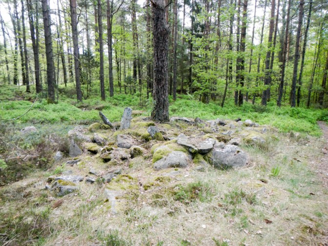
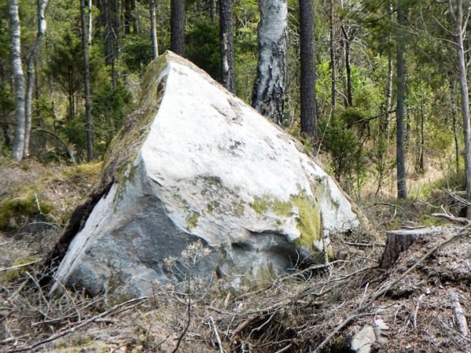
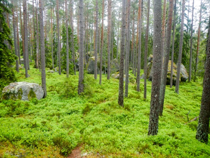
I walked on through woodland, past lakes and up and down hills along a mixture of easy and stony paths. I saw lots of huge erratics, “dumped” as glaciers had melted.
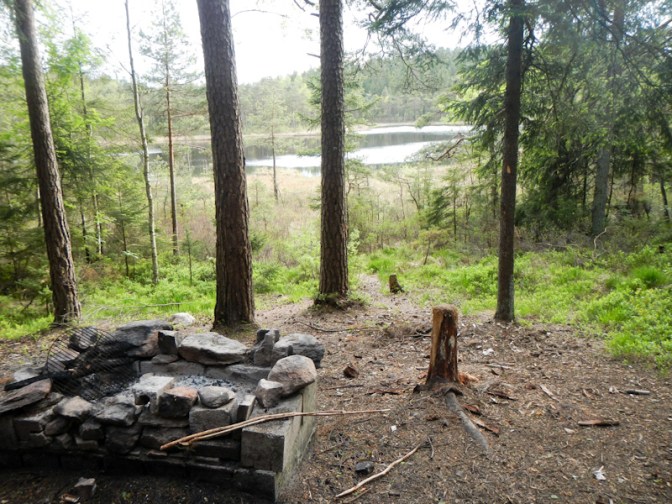
I arrived at my planned overnight stop about 2.30pm: a shelter about 3km short of the small town of Hindås. It was early to finish walking but it was just starting to rain and there wasn’t any good location for me to spend the night without going considerably further. A group of two couples was already there eating a hearty meat soup with bread and cream fraiche as a late lunch. They weren’t planning to sleep in the shelter but were walking to their summer house. They had far too much food and offered me all their leftovers which they would otherwise have thrown away. This was a veritable feast and filled me up for the rest of the day!

I wasn’t good enough at balancing to manage the unstable planks of wood and access the lake over a swamp and reed beds to collect water but fortunately I had sufficient collected earlier to provide for my overnight stay.
I spotted a small bird eating crumbs – I think it was a coal tit but it had flown off before I had time to take a photo.
Day 3 Sunday 18 May
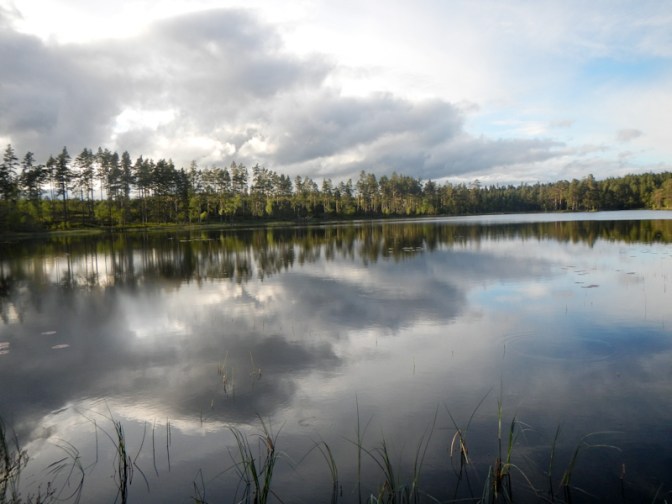
My sleeping mat lost air again and I pumped it up in the middle of the night, but I was still asleep when my alarm went off at 5.30am. It was a beautifully sunny day with an almost cloudless blue sky. A heron flapped its wings and then glided effortlessly over the lake.
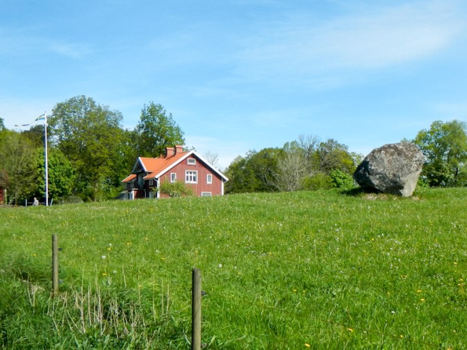
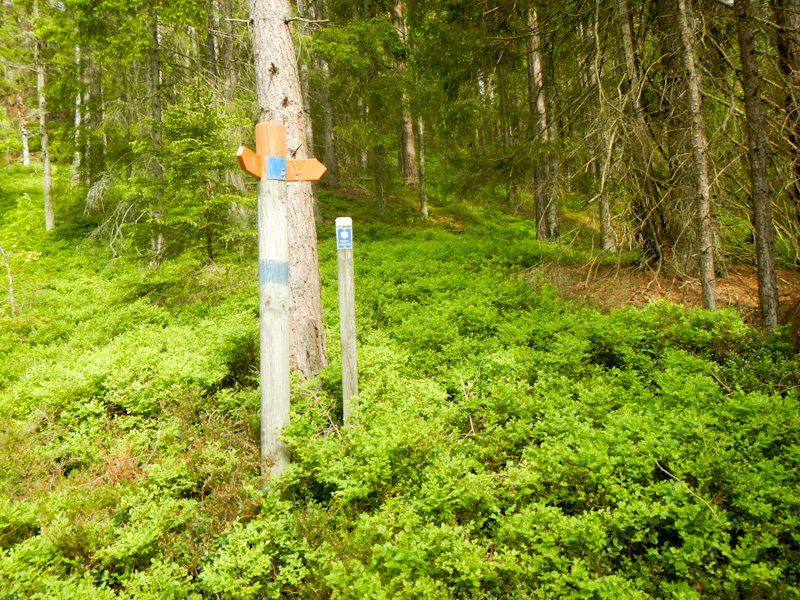
I was walking through Hindås before 9am but the supermarket was already open so I restocked some food and enjoyed my second breakfast of satsumas, Danish pastry and lemon flavoured water while sitting in the village square. The trail changed from Vildsmarkleden to Sjuhäradsleden.
I got “lost” twice walking to Abborsjon where there was a shelter overlooking a beautiful lake. This was the first option for an overnight stop as I had already walked 21km. It was only lunch time so I just had a long break, to eat my rehydrated kebab stew and wash my socks and underwear.
I continued further past more lakes and through the forest.

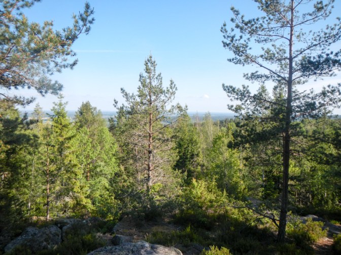
I walked through a town then uphill to the shelter at Hultafors, 10km from Abborsjon . There was an amazing view of the lake although, as I knew, no water so I had made the climb to the viewpoint with all my water containers full.
I saw two hares today, flitting around in their brown summer coats.
As it was still only 4.45pm, I decided to continue on from the shelter and viewpoint and I ended up finding a secluded camping spot near a scenic lake.
Day 4 Monday 19 May
The ground was hard and my mat deflated again, but otherwise I had a good night. The light over the lake early in the morning was magical!
My route followed a mixture of paths, tracks with some road walking too. There were more ruined buildings; all the information on the signs was in Swedish.
I arrived at SOK-stugan and searched for a water tap. The building was unlocked and had toilets, a shower and a gym. I filled up my water and recharged my phone, hoping that someone would appear so that I could enquire about having a shower and make a payment for use of the facility. However, the whole place seemed to be deserted and I really didn’t think it was reasonable to have a shower without asking!
Rya-Asar nature reserve is a beautiful and unspoilt forest. There is a wonderful shelter, but it was definitely too early to stop for the night!
I reached Borås and navigated to the buffet restaurant Saigon Corner I had already investigated on-line. I was charged the pensioner rate of 139 Swedish Krone for an amazing “all you can eat” experience including both Thai and Swedish favourites. The payment included fizzy drinks and coffee too. Who said Sweden is expensive!!?
I bought some provisions in the nearby supermarket then decided to continue to the shelter at Kypesjön, which the E1 website had said was a shelter suitable for sleeping. It would make the next day’s long walk 5km less than if I stayed at Borås campsite.
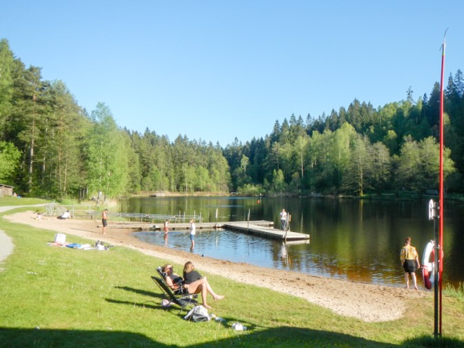
When I arrived, the area was packed with sun bathers and swimmers in the unusually warm May weather. I was concerned that if I sat in the sun then I might get heat stroke! I wandered around the area to see if there might be somewhere apparently more suitable to camp in the nearby forest. There wasn’t but the assistant in the café reassured me that camping near the shelter would be acceptable. I waited until the café closed at 8pm before putting up my tent (rather than trying to sleep in the shelter). The swimmers and sunbathers had departed. There was a cold water tap too so I didn’t need to take water from the lake.
Day 5 Tuesday 20 May
I enjoyed a quiet night to sleep well. It was still sunny and dry in the morning and I ate my breakfast at a picnic table. As I left at 07.35am, the only people in the area were a few runners and early morning walkers.

I arrived at Borås ski resort, where there were hoards of children accompanied by teachers wearing pink reflective tops. Further paths skirted a housing estate but then the walk became more remote and crossed ridges of hills.
I sat in a shelter to have my snack then walked through rural areas with a few scattered dwellings until I reached another lake – lunch stop. That’s where I looked at the weather forecast on my phone and realised that I was enjoying the final dry, warm and sunny day.
Continuing on through a farming area, where I had to carefully open and close sections of electric fence crossing the track, I mulled things over and realised that booking a hotel at Mullsjö, where I was due to be on Thursday night, might make sense. This proved to be remarkably straightforward via Booking.com – Hotel Mullsjö offered bed and breakfast and was located right on my route.
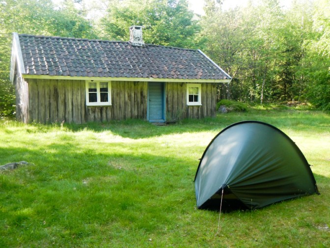
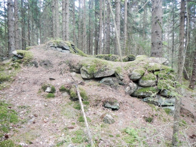
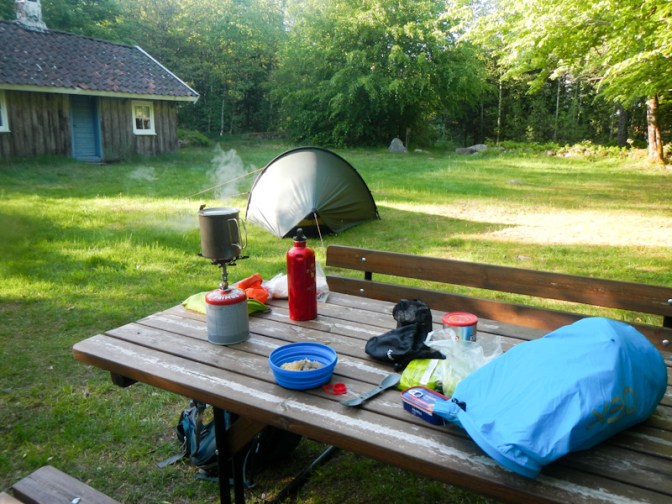
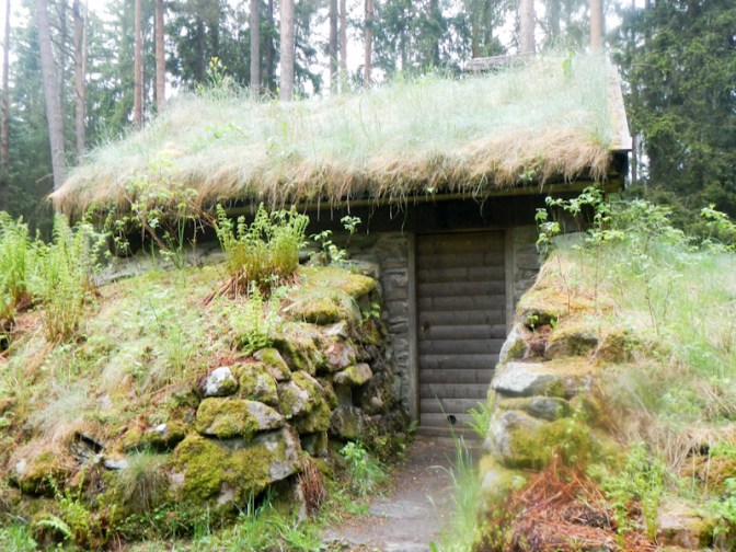
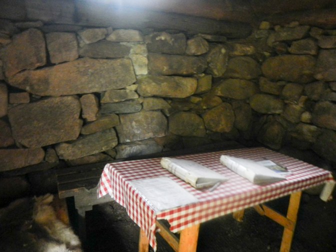
The route continued through a wonderful woodland with the usual mixed and unspoilt forest which was becoming increasingly familiar to me. Hidden in the forest is Raska-Minas stuga where I planned to camp in the garden next to the shelter for the night. In 1865, Selma Vilhelmina Rask moved into the small cottage in Tvärredsskogen with her mother and two sisters after her father’s death. She lived there until 1943, when she moved to a nursing home in nearby Ulricehamn, where she died in 1947.
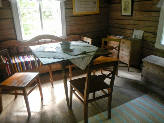
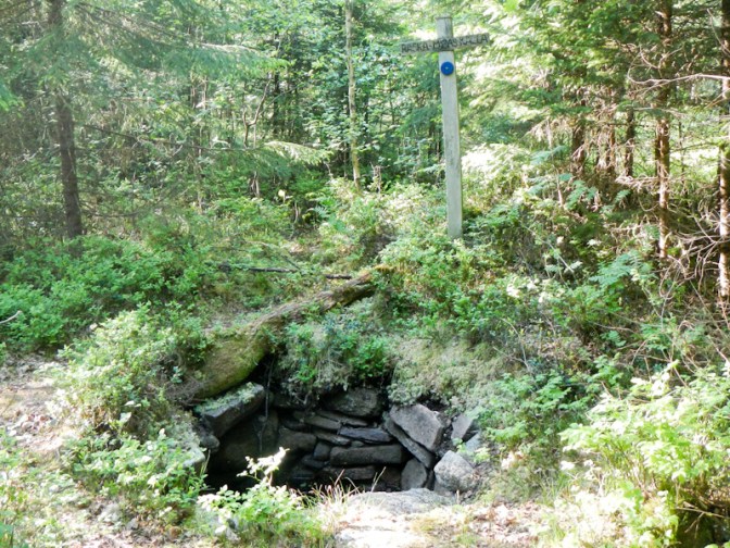
The cottage is kept unlocked so I was able to have a good look around. it seems to be furnished much as she might have left it in 1943; even a coat still hangs in the porch. Water is available from a spring in the forest just behind the cottage. It took me a while to understand that “Raska Minas’ källe” meant “spring” – my phone translated it as “Raska Minas’ cold”.
A group of cyclists from the area passed by and filled me in on the story of Raska Minas. They explained that she had been quite a “character” in the area; others helped her to continue living in the remote location, but she had to walk several kilometres to the nearest shop.
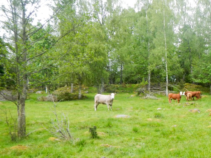
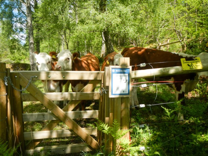
Someone driving on the track passed slowly then returned. Not being entirely used to ‘Allemansrätten’ (the right to roam). I was concerned that he had come to say that I needed to move on. Actually camping in people’s private gardens isn’t permitted, but this was an uninhabited cottage in the forest with a shelter in the garden, a barbecue place for public use and an unlocked composting toilet. Actually he was the farmer from the farm with all the electric fences I had passed earlier. Three of his juvenile cattle had escaped fourteen days earlier and had been reported to be in the forest. He passed on his phone number and asked me to call if I saw them – and reassured me they weren’t dangerous but would run away from people.
Day 6 Wednesday 21 May
It was a cloudy morning but there was no overnight rain – just a lot of condensation on the flysheet. I was up early and walking by just after 07.00am. I reached a shelter at Blackered in under two hours; I hadn’t seen any black cattle or indeed any cattle at all. It wasn’t raining but there was definitely some dampness in the air.
I spotted some robot lawnmowers in action – “no mow May” doesn’t seem to happen in Scandinavia in gardens although there are lots of wonderful meadows which all appear to have enormous biodiversity.
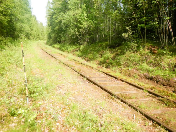
It only took me only a further two hours to reach Prångens despite my heavy rucksack. The route advice suggests it’s a three hour walk from Blackered. However the path was easy to follow and some of it was along a surfaced disused railway line. The campsite at Prångens looked very commercial and full of caravans so I’m glad I didn’t need to spend a night there.
I followed what seemed to be very convoluted waymarking but it got me safely over the major roads at the edge of Ulricehamn. There was a hotel offering a very good deal on buffet lunch but it was only 11.20am and I was keen to buy my provisions from MCA before finding somewhere to get lunch.
I must be getting old – a “nice young man doing shelving” at MCA fetched down a tube of cheese spread for me from the highest rack I couldn’t reach.
Sadly I ended up at MacDonalds for lunch as I didn’t want to walk all the way back to the lunch buffet place. MacDonalds was more expensive too!
My rucksack was very heavy as I was concerned about there possibly being no water availability on the next section so I had a 1.5 litre bottled water in addition to the 2 litres in my water bottles. It was hard work climbing the hill and it was raining. However, I reached the shelter area where I planned to stay overnight at around 4pm (earlier than expected).
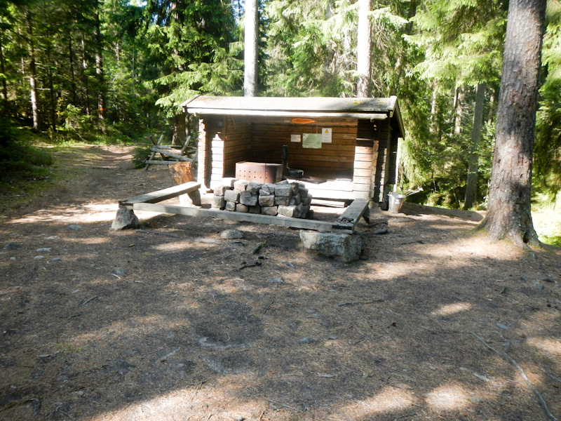
Rabbaberget has a small cabin with fireplace and two benches to sit or sleep on as well as an open wind shelter with a sleeping platform. There is also plenty of space for tents but I decided to sleep in the wind shelter so I avoided using my tent in the rain. The well appeared to be empty so I was relieved to be carrying plenty of water. It was raining but had also become quite cold during the afternoon.
It was just as well that I had decided not to sleep in the cabin as later on a couple of German people arrived on bicycles. They were much more wet and cold than I had been so after I had explained where I planned to sleep, they requisitioned the cabin and soon had a fire burning inside.
My weather forecast was suggesting temperatures of 1-2 degrees centigrade the next day (in Borås only two days before it had been 26 degrees!). The German cyclists had been told that some of the precipitation the next day might be snow! I knew it was a long walk to Mullsjö but it looked straightforward, mainly on minor roads albeit some are gravel or clay, and I had a hotel booked.
A major problem at Rabbaberget was that neither the female German occupational therapist nor the female English retired GP (me) can understand how the toilet works. I’d even used my phone to translate every notice on the site but none of them explained the workings of the toilet! It seems to be closed over by flaps that reclose as soon as you stop pressing a button under the seat. Fortunately the male German sheep farmer worked it out straight away – sitting on the seat also presses the button and keeps the flaps open and there’s even a division under the flaps so that urine goes into the front and faeces into the back section. I’ve never seen such an ingenious composting toilet previously.
It was a damp and cold night but I actually slept pretty well – and I did change into my sleeping clothes (plus a hat). When I woke to pump my mattress in the night I was concerned to smell wood burning but it was just smoke from the cabin chimney and it wasn’t on fire. It crossed my mind that I should check that the couple didn’t have carbon monoxide poisoning although the cabin had seemed well ventilated and I was more worried that they would be unhappy about being woken in the middle of the night.
Day 7 Thursday 22 May
I was woken by my alarm at 05.00am and had eaten breakfast and packed by 06.45am. The chimney of the cabin wasn’t smoking so I assume the fire had burned itself out and I didn’t check on the occupants as it seemed unreasonable to do so before 07.00am! Hopefully the cabin is sufficiently draughty they will have been ok and not succumbed to CO poisoning.
Most of the notices I had translated the previous evening using my phone had asked people to leave a donation in a locked box fixed on the outhouse. This I did, if only in appreciation of the ingenious toilet!
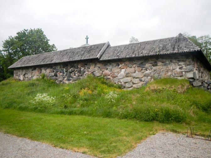
The path towards Böne Kyrka was wet and potentially slippery in places. I reached the church at 08.00am. The E1 website had comments that there was drinking water available in the churchyard but the notice at the church stated that the water wasn’t drinkable. Fortunately the cold weather had meant that I had drunk less and I still had almost all of my purchased bottled water remaining. The church itself was locked.
I didn’t deviate to visit the church at Knätte even though there was a mention on the E1 website that electricity for phone charging is available. I knew I would be in a hotel that evening and had plenty of charge remaining for the day. The rain became more heavy.
I reached Jogen Lake and sheltered in the swimming changing room building as it was the only dry area available.
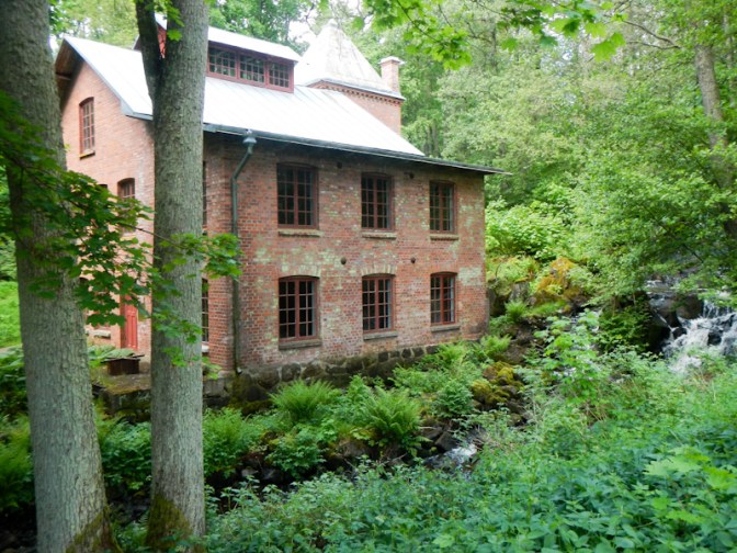
I reached a nature reserve area near Vållern lake and Årås mill. There was a nice wind shelter but I wasn’t ready for a further stop. The “wilderness trail” was the only off road part of my route all day apart from the initial stretch to Böne Kyrka and a small section just before I reached the hotel at Mullsjö. Perhaps in view of the wet and cold weather it was just as well.
After leaving the lakeside, I just plodded on though forested and agricultural areas and past lots of deserted summer houses along unsealed clay and gravel roads. The rain was almost turning to sleet. It was cold and windy. I stopped for lunch, sheltering in the porchway of a deserted summer house and hoped the owners wouldn’t turn up. It was really quite miserable weather.
I reached another lake and a village. The sleet had become snow floating to the ground, although it wasn’t settling at all. I decided to omit the big loop up the riverside path and continued to follow the road into Mullsjö.

A path passed the campsite which was where I had marked my overnight stop when planning the expedition. However, in view of the cold and rain / snow, I was relieved to be staying inside and was looking forward to a hot shower. The final part of the route through the forest to the hotel seemed very convoluted. I almost thought that I had managed to turn back on myself.
In view of the atrocious weather, I had covered the distance quickly (plus I hadn’t walked the “loop” section). It was only 2.30pm but the receptionist understood why I was so early and reassured me that my room was ready.
My room was beautifully warm. Sorting my possessions, limited though they were, showering, washing clothes and hanging them in the en-suite shower room to dry was time consuming. The room had been transformed into a tip with my tent spread to dry, sleeping bag and mattress airing and my rucksack drying out. Rucksack rain covers never seem to work that well especially round the edges. It was almost 6pm by the time that I was feeling that I had things under control and I’d booked dinner for 6.30pm, thinking that I had loads of time.
I enjoyed my house-made burger (very different from the MacDonalds burger at Ulricehamn – was that only yesterday lunchtime!) and even had a beer. After dinner the rain had stopped and I had regained sufficient energy to walk to ICA to buy provisions to last for a few days until I would reach Hjo.
Then I almost fell asleep sorting out my till receipts from Ulricehamn and Mullsjö. It was definitely time for bed!

Day 8 Friday 23 May
I set my alarm for 06.45am. Nearly everything I had washed was dry. My T shirt just needed a bit extra with the hairdryer. I enjoyed a feast for breakfast – fruit, cereal with strawberry yoghurt, sausage, bacon, ham, cheese, rolls, salad and plenty of juice and coffee plus some biscuits. The weather still wasn’t great but forecast to improve later and I didn’t have a long walk planned. Hence I didn’t leave until 10am, by which time it was sunny, although the rain started again almost immediately.
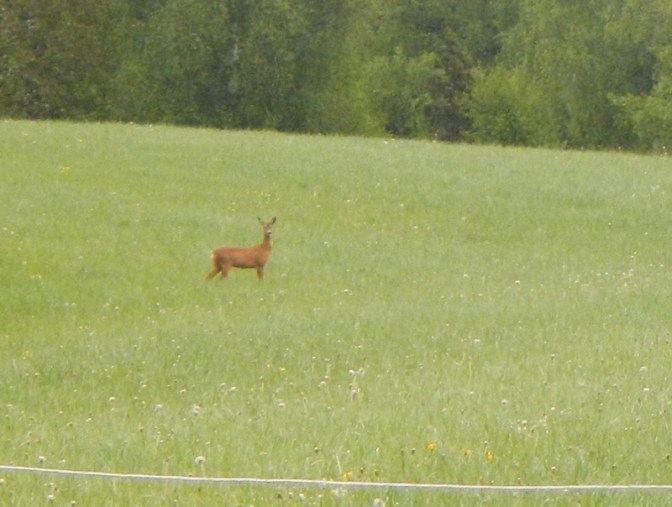
I didn’t have to go through the town at all but instead found myself immediately in rural areas with scattered dwellings, farms and wood. I even spotted a deer and heard cuckoos everywhere.
My breakfast had indeed been large and I didn’t stop for lunch until 3pm.
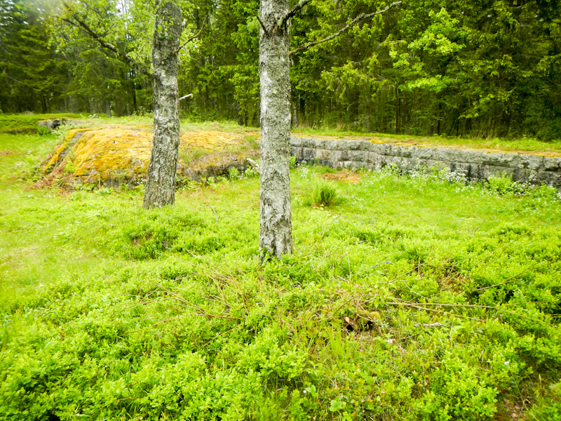
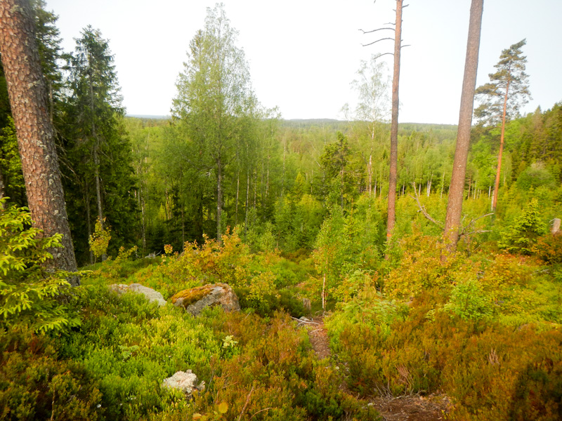
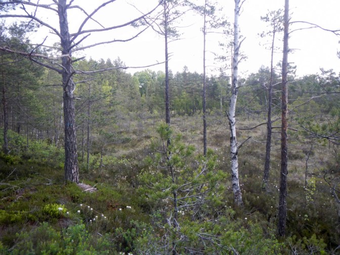
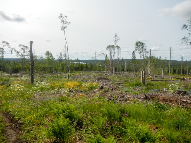
The scenery became even more magnificent – mixed pine and broad leaved forest and areas of sandy heathland with an enormous quantity of lichen. I passed an area where there were piles of stones left following them being cleared for centuries to create pasture. There was also an area with old bear, moose and deer catching pits. The landscape around Hornsjön is rare and protected.
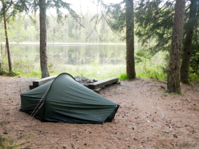
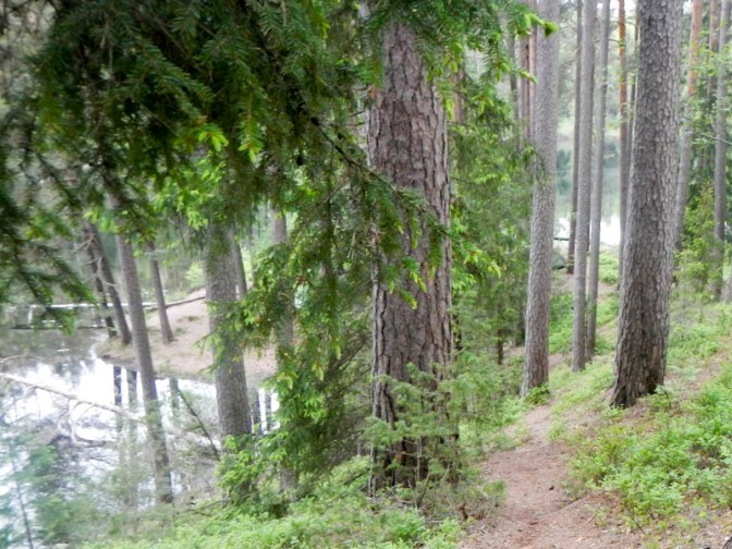
I was nearly at my destination – a wind shelter near the beautiful Södra Kroksjön. I met David and Eva. David emigrated from Preston, Lancashire about forty years ago to Sweden as his first wife was Swedish. He retains some traces of a Lancashire accent after all this time. He worked as a GP and continues to do so for three days a week in the winter doing work in the community with elderly patients. Eva, his second wife, is also Swedish. They thought I would be passing very close to their home but they will probably be walking on a large Ascension-tide pilgrimage near Hjo at that time. Otherwise they would have been happy for me to stay with them for a night! Unfortunately I didn’t get their e mail address as it would have been lovely to keep in touch.
I arrived at the shelter but decided to titch my tent in the forest above the lake. This was just as well because soon afterwards a red camper van arrived – a man who planned to fish plus a rather barky sheep dog. I continued hearing calling cuckoos throughout the almost light night.
Day 9 Saturday 24 May
I awoke to find just condensation on my tent – no more rain.
I enjoyed a scenic walk in the morning past lakes that looked serene and peaceful, through unregimented native forest and across open farm land. The soil was sandy.
It was still only lunch time when I arrived at my planned destination for the day. The options were to stop, to continue to a proper campsite only a couple of kilometres further or to attempt what I had planned to do the next day and get all the way to Vitsjön. In between wasn’t a possibility as the nature reserve is one of the areas where camping appears not to be permitted.
The increasingly sand heathland made for some difficult walking. I think I saw a mink – a weaselly animal that shot up a tree as soon as it spotted me and then swung from tree to tree.
The final stretch was most taxing of all, although there was an alternative easier route which I could have use. It involved arduous descents and ascents into and out of deep steep-sided dry valleys. One of the ascents was even provided with a rope at the side of the path for walkers to pull themselves up.
I was tired when I finally arrived, expecting the shelter to be empty or just a few walkers. However there were already three or four tents pitched and multiple young people who informed me that they had planned an all-night party so it might be better to camp somewhere else out of ear shot. I explored some places near the lake but it was far too wet and boggy and in the end I found a patch of cleared forest above the lake. It wasn’t as scenic as near the shelter but at least it was quiet and I did see some deer nearby.
Day 10 Sunday 25 May
I was in the happy position of being a day ahead of my plans. It felt very positive as now I had a buffer just in case the route became more difficult later on. Moreover the weather forecast was for rain later and I had managed to book a hotel room in Hjo, complete with a massive free upgrade courtesy of my Level 3 Genius status with Booking.com.
There were more stunningly beautiful forests and sandy heathland. There were also two groups of cattle which was a less positive situation, especially as the second herd looked quite active. However I survived without incident.
I saw part of a pilgrimage route – I guess this is where David and Eva will be walking.
I crossed some marshy areas and went into the forest again to reach a shelter where I met a German couple who now live in Sweden with their six year old son. They were keen for him to learn more about the countryside and he proudly showed me his compass and a “map” he had drawn. I ate my lunch as they prepared their barbecue which they would have been happy to share but I was keen to continue on my way. They explained that in their many years in Sweden they had learned that the country dwellers are ironically often “frightened” of the forest, almost believing the old legends. They told me that they noticed ongoing deforestation with a tendency of the inhabitants to view the forest as a resource and not as a precious and biodiverse landscape that needs to be preserved. The father explained that it tends to be the city dwellers who are keen to spend their leisure time in the forests and embrace ‘Allemansrätten’ (the right to roam).
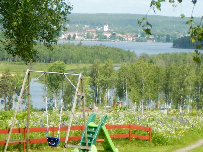
As I approached Hjo, I passed a large area used for mountain biking and adventurous activities. On what was now a rainy afternoon before the main Swedish holiday season it was almost deserted.
Eventually I passed a church and arrived at the shores of the remarkably round lake, Mullsjön. From there it was a couple of miles to walk on defined and mainly surfaced paths along a riverside and past a mill to Hjo town centre.
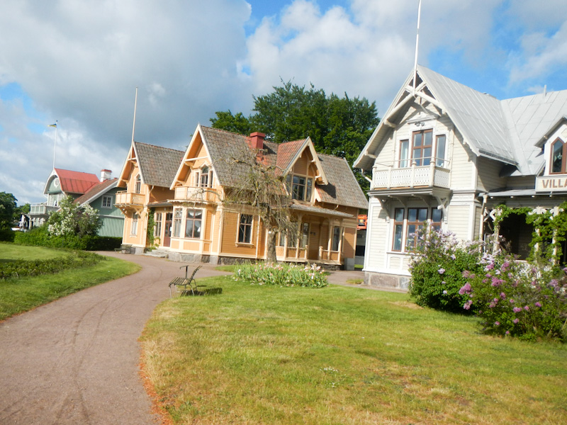
Indeed I had a fabulous room with an easy chair, desk and desk chairs, a walk-in shower and a view of the huge Lake Vättern plus the historic wooden buildings. There was everything I needed to wash myself and my clothes! It was raining so much that I just ventured across the road to the supermarket but ate dinner at the hotel and decided I would look at the wooden buildings in the morning.
Day 11 Monday 26 May
A sunny day! Super breakfast – cereals, berries, yoghurt; cooked meat balls, sausage, bacon, grilled tomato with cheese; wide choice of cold fish, meat and cheese; variety of rolls and bread; doughnuts. I had a bowl of cereal and berries with yoghurt plus three plates of food altogether! I didn’t leave until 09.15 as I had all my things to sort; everything had just about dried overnight.
I walked around the area near Lake Vättern and the wooden buildings. Lake Vättern is the second largest lake in Sweden and the sixth largest in Europe. I retraced my steps of the previous day to Mullsjön and then walked past trees and farmland to the shelter at Skarpas for lunch. Ironically, following my conversation yesterday, I saw a lot of deforestation on an industrial scale in this area.
However later on I reached another beautiful sandy area, shaped by glaciers – part of the delta-like area formed when the ice melted.
My intended destination was the shelter at Rosjön next to a nature reserve. It was very scenic but the shelter was elevated above the level of the lake and it had become windy. I decided it was impossible to camp safely near the shelter as the tent would be subject to constant “bombing” by fir cones. I looked at the shelter but the wind was blowing directly into it and I would have been hit by fir cones there too.
I descended back towards the lake and found a place to camp where the trees looked secure and not as if they would fall on to the tent. There wasn’t a barrage of fir cones either. The main problem was the hard ground but eventually I managed to secure all my tent pegs.
A “mad March hare” came rushing up the path as if late for an appointment just like the white rabbit from Alice in Wonderland; although it was a hare, not a rabbit and was in its brown summer coat. Anyway having seen me it changed its mind and bounded off the other way.
I enjoyed my dinner – couscous, tinned mackerel and a tomato cup-a-soup mixed in to improve the flavour.
Day 12 Tuesday 27 May
It’s always a bonus to have a dry tent to pack – there wasn’t even any significant condensation. I was up at 05.00am and walking by 07.00am. The morning mist shimmering over the partially sunlit lake was stunningly tranquil and beautiful.
I walked through more lovely mixed forest with fine views.
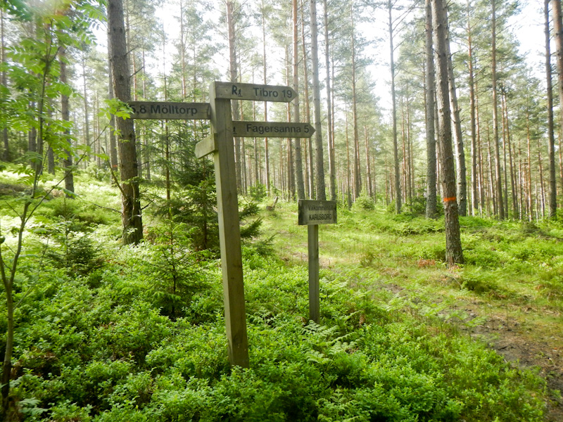
I reached Mölltorp around 10.30, bought my provisions from ICA then hung around ready for the pizzeria which opened at 11.00am. I was the sole customer for an early dinner until two men in camouflage kit arrived.
Unfortunately after dinner the weather became increasingly rainy.
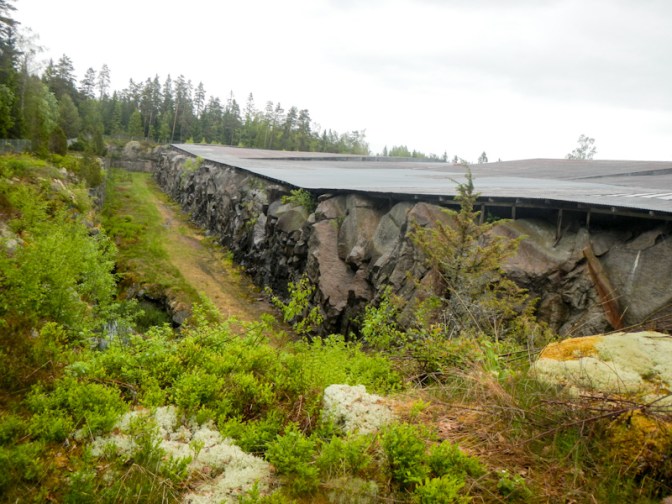
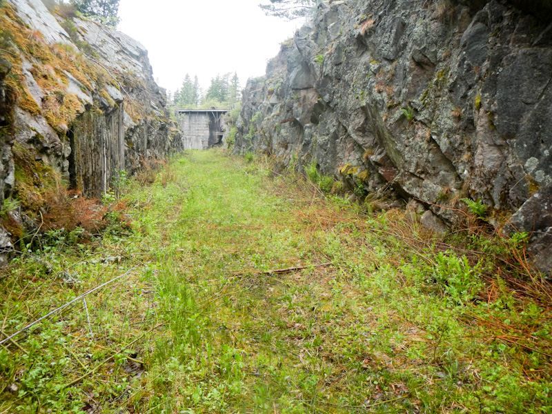
My route passed the impressive fortress at Vaberget, which was blasted into the bedrock of the hill itself during the nineteenth century. Its purpose was to defend the main fort at Karlsborg. However it was redundant almost as soon as it was completed and saw little use as a fort. The experiences from construction were useful when the much larger Boden Fortress and the coastal defence fort Fort Oscar II in Gothenburg were constructed in the early years of the twentieth century.
In the inclement weather, I was glad to reach Forsvik. The area where I had thought that I might camp seemed to be dedicated only to campervans, the hotel was closed and even the café and the ice cream kiosk were both shut. I thought that I might have to walk on a further 10km or so to a site where there is a shelter. I had looked up the hostel on-line the previous evening and it appeared not to have any vacancies. Nonetheless I popped in and was extremely fortunate to receive a warm welcome and good news. There was a whole group booking but one of the group had cancelled at late notice so there was a room available for me. It was a huge room with an en suite shower room and even had its own cooking and eating area which although less well equipped than the main kitchen was plenty for my needs. and meant I didn’t interrupt the group having their shared meal together.
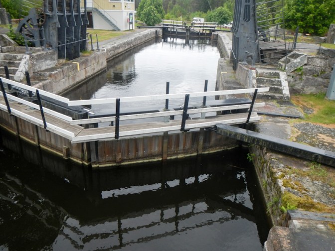
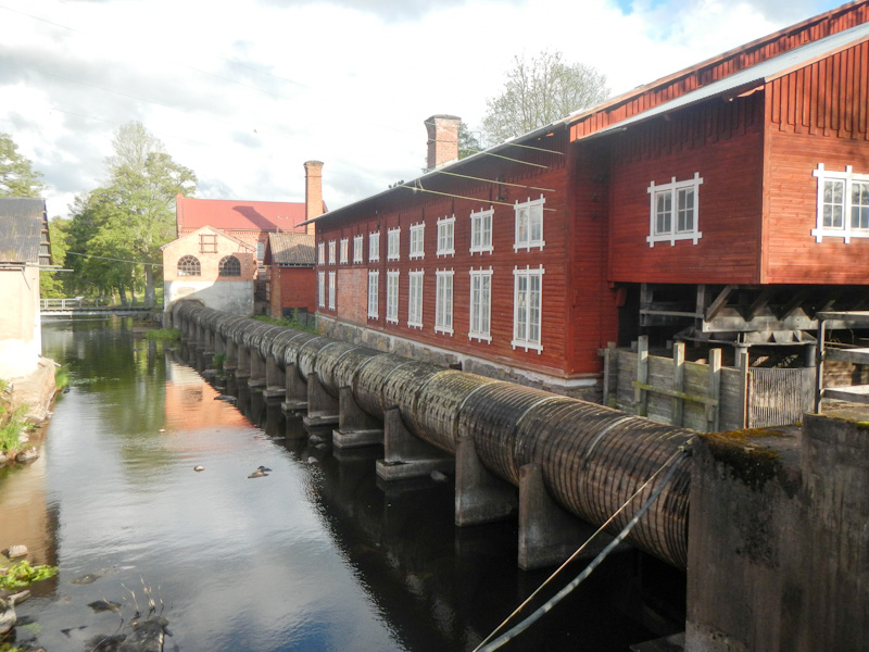
The rain stopped so I strolled round Forsvik. The oldest lock on the 190km long Gota Canal is here, built in 1813 and with a rise of 3.5metres.
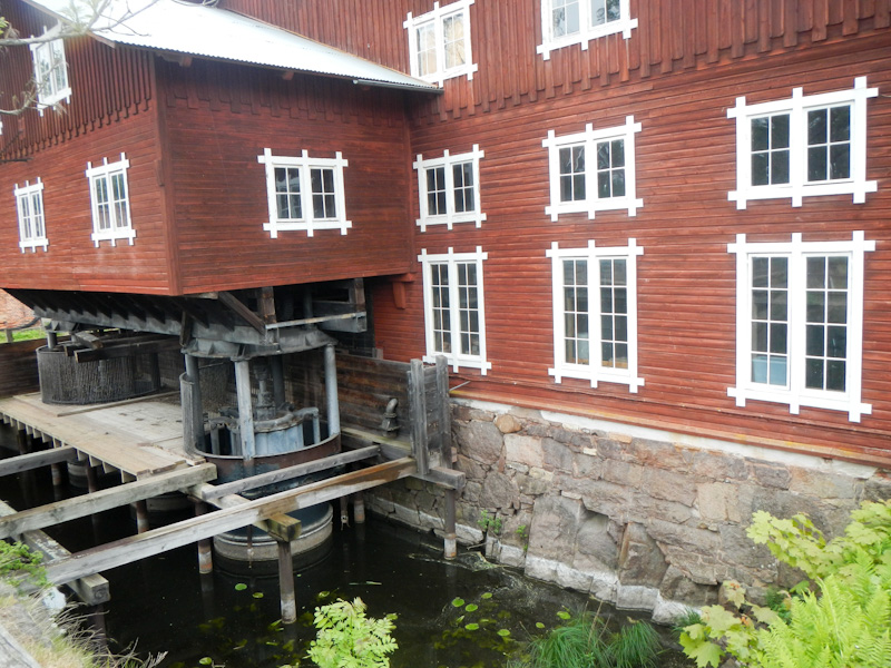
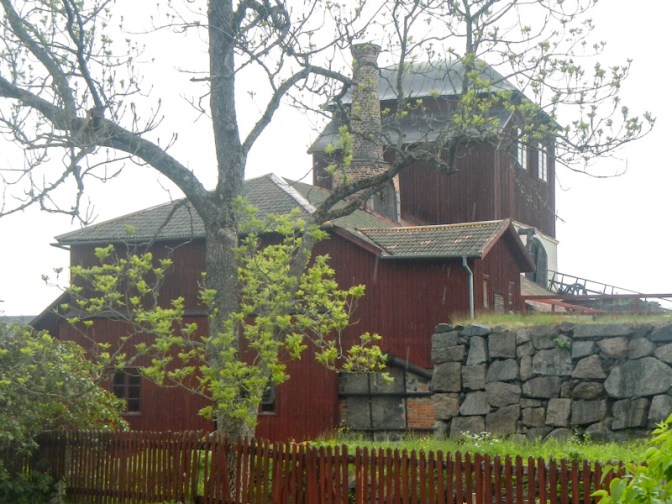
The hostel is a stone’s throw from one of Sweden’s oldest industrial sites; a beautiful, unique environment with a works railway and historic buildings housing a smithy, a foundry and a wood pulp mill for manufacturing paper. The site has a six hundred year history but at the end of the 1970s it closed and the buildings began to decay. However renovation to preserve the area began in 1983 and is now run by Cultural Development Administration – Sweden’s largest administrator of nature and cultural heritage.
Day 13 Wednesday 28 May
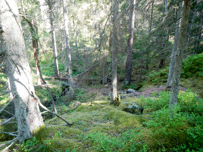
I enjoyed a comfortable night in a bed but was out and walking again just after 07.00am. Initially after leaving Forsvik the paths were narrow and passed through more beautiful mixed forest. My progress was slowed by fallen trees blocking the path – these tend not to be cleared as they are an important habitat and promote biodiversity. Some of the ground was stony. It was of course particularly difficult for me because I was carrying a heavy load with all my camping equipment. It took me 3.5 hours to reach the shelter I had considered walking to the previous day; that would have been a struggle and would have taken even longer in the rain with risk of slipping on wet stones. However it was a fabulous area with loads of attractive looking camping spots near the lake and under the trees; I would have enjoyed camping there. The route continued through more stunning and scenic deserted forest.


I reached a car park, seemingly in the middle of the forest. Suddenly there were hordes of people and bicycles. There seemed to be a spitting competition – all very weird! However a man sitting apart from most of the others explained to me that the people were all on a works outing for team building – held on that day as it was the day before Ascension Day – a public holiday (or, as Swedish people call it, a red day).
My onward route passed through more nature reserves, but, rather than forest, these were meadows and pasture with grazing cows (to whom I gave a wide berth).
I had been keen to reach Granvik (a summer resort on the western shore of Lake Vättern, the same lake as near my hotel at Hjo) for lunch. I was too hungry and it was still some distance so I stopped sooner, although still on the shore of the lake.
After lunch the route soon went through a gate where numerous cattle were gathered. There was no way that I was going to walk that way unless assisted by a friendly farmer who could move the cattle. Unfortunately the only diversion I could see on the map included about 1km walking along a fairly busy road with fast moving traffic.
I was disappointed, although not surprised after my experience at Forsvik, that all the cafés in Granvik were closed. I could have easily eaten a second lunch! There were lots of schoolchildren wandering round with their teachers.
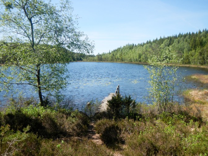
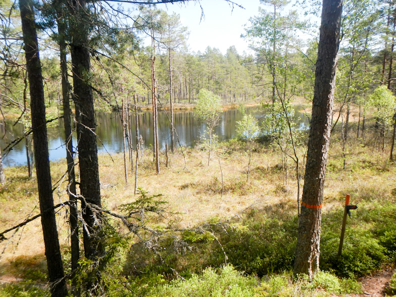
I reached Stora Djäknasjön, an idyllic lake with plenty of fabulous views and a few wind shelters. It was tempting to stop and camp there but the weather was dry, sunny and warm so I decided to continue to Stenkällegårdens as I had planned.
I was almost at the campsite when I saw a wild pig. It ran away before I had reached for my camera. When I mentioned it to him, the owner of the campsite explained that they’re reasonably common in the area; indeed as I walked I saw signs at shelters asking walkers to ensure they didn’t drop or leave any pork / bacon products because of the risk of swine fever.
The final part of the walk passed a skiing area where the grass was being mown. I was soon at Stenkällegårdens Camping and checking in for an overnight stay. I even enjoyed an ice cream as a treat! I was still using my first gas canister (large size) bought in Göteborg and not started the smaller second canister so I didn’t need gas, but I noticed it was available at the campsite shop.
I had come to the northern end of the Västra Vätterleden and the next day would see me starting Bergslagsleden and walking its full 280km all the way to Kloten.

Day 14 Thursday 29 May Ascension Day
I was away soon after 08.00am – apart from a few dog walkers no-one else in the campsite appeared to have woken up. Of course it was a “Red Day” (public holiday) for Ascension Day.
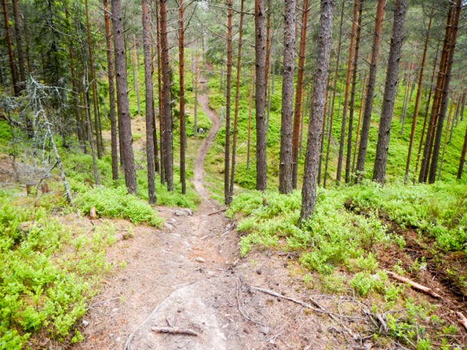
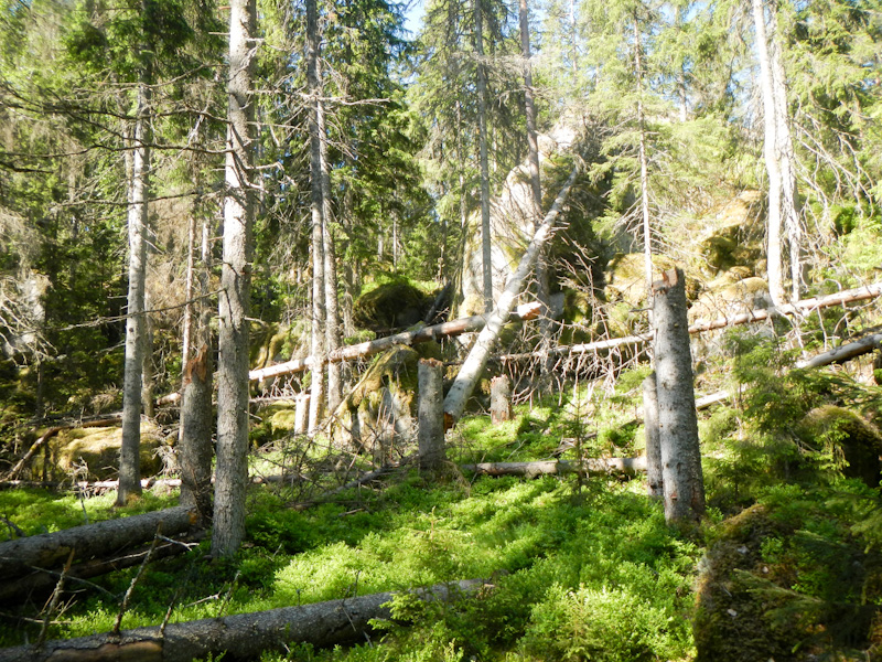
I was soon in the Tivedens National Park, one of Sweden’s wildest forests. There were deep dry valleys, huge boulders and stony paths with fallen trees left to rot across the paths. It was hard going but the unique primeval scenery was sufficient compensation. I even saw a grey snake with a red tongue – it must have been a slow worm. The twelve kilometre walk through the forest to Tivedstorp took me well over four hours.
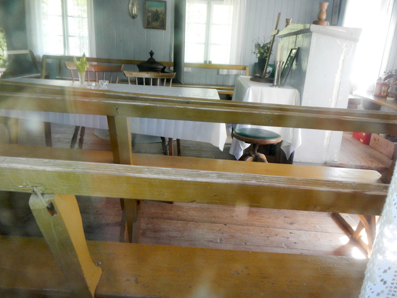
At Tivedstorp, I passed a hostel which was opening to serve food from 13.00. It was still forty minutes until opening time so I decided to continue and I ate lunch sitting near a small mission chapel. Notices explained that it has the best preserved interior of any similar chapel in Sweden – but sadly it was locked.

There were just so many more scenic forests and lakes. I felt that I was getting saturated with the wonderful scenery! At a wind shelter, I met a Swedish couple out for a short walk and lunch. Soon after this the path continued on a ridge near a lake. I don’t seem to have many photos and I remember feeling quite tired, which is a pity as there was so much to look at.
Having passed so much amazing scenery, I was disappointed when I reached the shelter where I had planned to stop. It had no view of the lake. I continued despite being so tired. However I was very fortunate to meet a Swedish couple walking towards me who told me that I had just passed a track down to what would be a wonderful camping place by the lake.
I retraced my steps and took the turning. Indeed this was a fantastic place to pitch my tent. The shelter had an axe, a saw, folding chairs and a multi volume visitor book. No one else was there. Around 8pm three motor bikers arrived – however they were quiet and pitched their tents well away from me and nearer to the shelter. I think that suited them as they lit a fire too.
It had been sunny and dry all day – perfect!
Day 15 Friday 30 May
I set my alarm for 05.00am and was ready to leave at 06.45am. I was very lucky as I’d got my tent down almost dry but it started pouring with rain almost as soon as I started walking.
I made good progress through the forest with much of the path being on a large ridge of glacial origin deposited when the ice melted. This was part of the “Monks’ Path” – the route that the monks took in the Middle Ages from Ramundeboda monastery before crossing Lake Vättern in boats to keep contact with their brothers in monasteries on the eastern side of the lake.
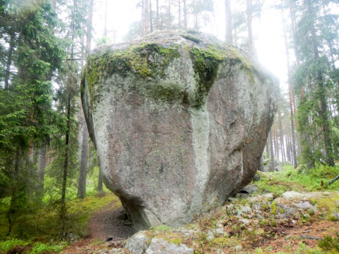
I passed a huge erratic boulder on the ancient border between Närke and Västergötland where the monks would stop and hold a service for the local people.
Despite the rain, I was enjoying my walk. However I passed and spoke to a young Swedish man as he was packing his tent. He explained that he was finding the conditions rather cold and not having a good time at all as he had to either walk to keep warm or huddle in his sleeping bag. Apart from the day it snowed (Day 7) I had actually been finding it quite warm and had more than enough layers of clothing.
Soon after that, I arrived at a point where there was a wide forest track and road but the official Bergslagsleden route was along narrower paths first on one side then on the other side of this track. In particular in the rainy weather, I couldn’t see any advantage in struggling along these potentially slippery and stony narrow paths. The wide track became a very minor road but still traversed the forest and there was barely any traffic on it. I passed an isolated dwelling but the barking dog was secure in the garden behind a sturdy fence.
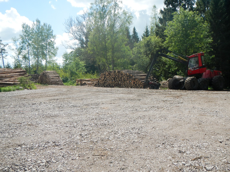
I spotted a wood chute by the side of the road – this is the chute which was used as the timber was transported on water courses downstream from the forests to the sawmills and papermaking mills. Following the logs downstream and freeing them when they became jammed was seasonal work for many Swedes from the end of the nineteenth century right up to the middle of the twentieth century.
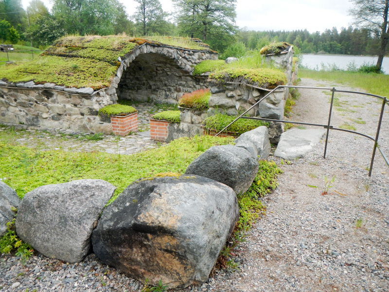
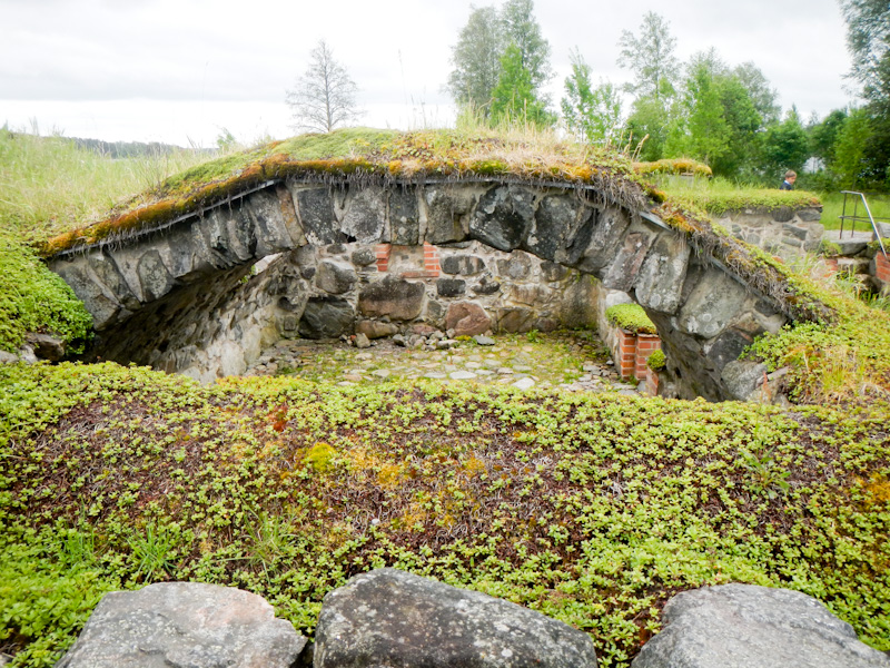
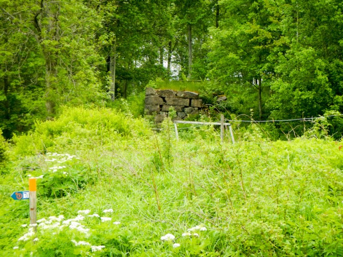
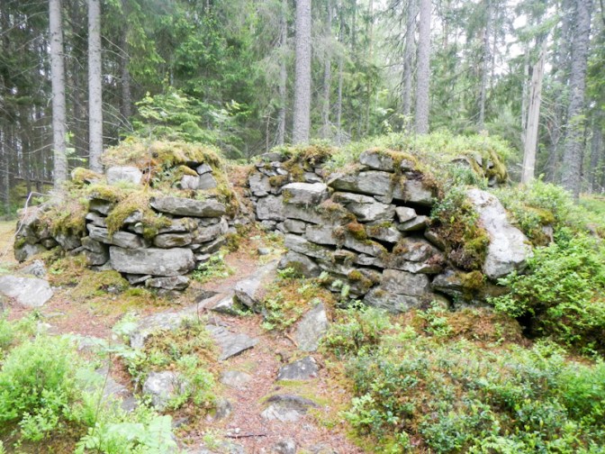
I made rapid progress because I was walking on the main track and before long reached the side of the E20 motorway on my left side. I was sandwiched between this busy road and the lake Borasjön as I reached Ramundeboda. I had a quick look at the ruins but my attention was caught by the attractive café. It was open so I decided to buy some food – a huge brie and salami baguette, coffee with as many refills as you want and then Budapest pudding (which turned out to be similar to the Scottish cranachan).
The bonus was that while I was eating the weather improved. This was actually close to my planned destination for the day. Ironically the rainy weather meant I had followed a path that was quicker to walk along (although a similar distance). However now it was sunny but windy and not too hot. I definitely wanted to walk further in these good conditions.
The stages of Bergslagsleden I had already completed had been designated as “signature trail”. They’re the flagship trails that offer a special experience typical of the region. However the ongoing route was also scenic, offering landscapes through forests, past rock features and across marshland.
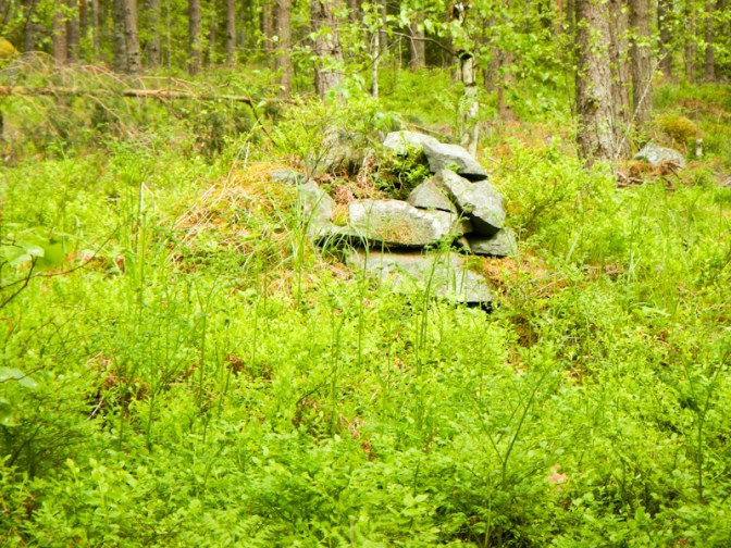
I had passed several charcoal burning areas. The large smelters needed plenty of charcoal to keep them going. One of the crofters’ many obligations was to make charcoal. The crofters tended to perform duties rather than paying a rent for their croft. The wood for the coal stack would have been cut during spring and early summer. In autumn the tightly packed wood stack with peat, earth and moss enclosing it would have been lit and allowed to burn for about two weeks while being watched for 24 hours per day. It was important to keep the wood starved of oxygen for the charring process – otherwise the entire stack could burn down. During this time the charcoal burner lived next to the stack in a small cabin. Nowadays a pile of stones is usually all that remains of the cabin and the “charcoal bottom” is often characterised by a ring of fir trees growing closely together. Charcoal continued to be produced in this way until around 1945.
I reached the shelter at Bäckelid around 5-5.30pm where there was spring water and a pleasant open shelter as well as a small enclosed cabin. I had a rest and wrote in the visitor book. However I was enjoying the good weather and decided to walk further.

There was more forest, rocks and bog. I reached a viewpoint over extensive marshland. A confident looking fox out for a stroll along the path suddenly spotted me and ran.

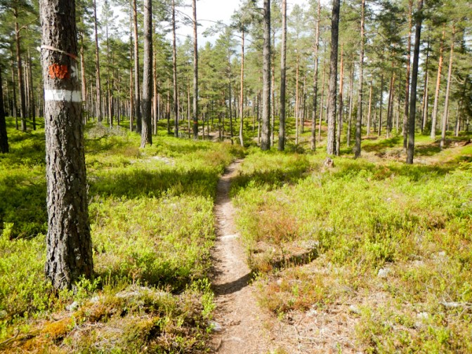
Eventually I was sure that I must be approaching Svarta. This was about 21km from Ramundeboda and hence around a full marathon distance (42km) from where I had started that morning. Unfortunately I missed a turning – there was a sign / orange marking but it wasn’t at all obvious. Fortunately I realised quickly that I was going in the wrong direction and I used Garmin Explorer on my phone to get back on track.
I hadn’t restudied this part of the route as I hadn’t expected to get so far. I had misremembered and thought that my planned camping site was at the south end of lake Björken although actually it was at the more distant north end. To add insult to injury, the Bergslagsleden actually deviated off to go in a circle around the village before reaching the camping area in the old sports ground at Svartå.
It was 8.30pm – almost fourteen hours after I had started walking, albeit I had a long break at the café at Ramundeboda. The water tap worked but the toilet was locked. I wasn’t really certain whether camping was still permitted at the site but a passer by reassured me. Anyway I would have struggled to go further. The Real Turmat dried meal tasted delicious.
At 10pm a man arrived on a pedal bike, unlocked the toilet and offered profuse apologies that it had been locked. He locks it at 8pm if there aren’t any campers. I was just thankful he hadn’t come to tell me off for camping on a private sports field! He even had a good look at my tent as he owns the four season equivalent (Akto) and another Hilleberg tent but he’s thinking of buying an Enan like mine as it’s lighter to carry than the Akto.
It wasn’t just a toilet – there was hot water, a shower and an electricity socket. However I was already late for bed so I didn’t use the shower. I set my alarm for 06.30am.
Day 16 Saturday 31 May
I slept well, confident that I was camping where it’s allowed but I still woke at 06.00am and decided to get up. The weather was too beautiful to waste. As I got out of my tent, I was greeted by a passing dog walker who usually unlocks the toilet but had received a message to tell him that it was unlocked for a camper. I was incredibly well looked after!
Further friendly passers by came and went. As I was about to leave, a lady came and chatted. The sports field and camping area is run by volunteers from the community as a project and she thought that this was the day that a working party was starting at 09.00am. Of course I had left before that (an hour before). The whole camping experience was free and there wasn’t even a donation box!
The route went through forest and along the side of a lake. I only saw one other person during the five mile or so walk to the shelter overlooking the lake at Södra Holmsjön. At the shelter I met a young man from Örebro who had a very long and neatly plaited ginger beard. He’d been out since the Red Day on Thursday, taking the Friday as annual leave from his work as an IT consultant. He told me that he’d meandered across taking his time from Lekhyttan, sleeping in his hammock with a tarpaulin over it – actually heavier than his 900g tent. He explained that he loves being outside and ‘Allemansrätten’ (the right to roam) is something that Swedish people take very much for granted. He told me about all the many Swedish public holidays – parents even get an additional week after Easter to support their children in sport and outdoor activities. We chatted for thirty minutes or so interspersed with a few periods of silence as we contemplated the still water of the lake with glass sharp reflections as well as some rippling areas and we listened to the birdsong.
He told me about the day it had snowed around nine days ago (the same day I had seen some snow flakes) – there had been 20cm settling further north and it had been chaos on the roads as everybody had already taken off their winter tyres. Just like UK whenever it snows!
I even forgot to take a photo as I enjoyed the conversation. However I did take a photo at nearby Norra Holmsjön.
I passed the mysterious Tuntappen – the lake that empties and fills but no-one has ever seen it happening. Sometimes it is full and sometimes empty. One explanation is that there is a large underground drain blocked by a piece of ice; when the ice melts and loosens, an under pressure rapidly empties the lake.
Some signs explained that I was passing an area of virgin and virtually untouched forest.
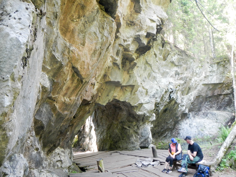
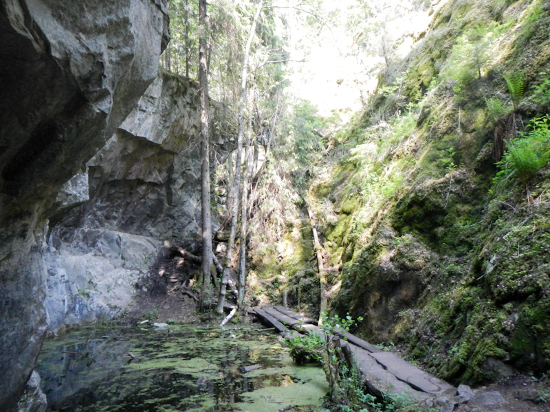
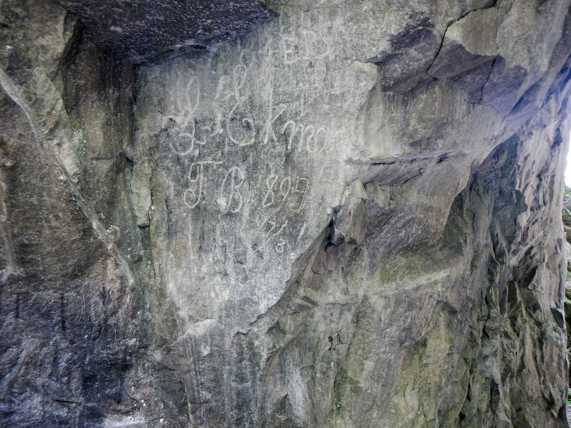
I decided that I would probably end the day at Sixtorp so that would give me time to make a diversion and visit some huge historic limestone mines. The diversion including eating lunch; looking at the mines took well over an hour, but they were worth seeing.

The route continued through more wonderful forested areas and up hills as well as through biodiverse and colourful meadows. Eventually I reached a large and multi-armed lake – Multen. Further round the lake is Sixtorp where there was an open ice cream kiosk. I bought a huge triple ice cream from Ann-Sofi – she and her husband Magnus recently bought the buildings and land and are developing their business including self catering accommodation, a campervan site and outdoor activities as well as the café and ice cream kiosk. They already have a business in Örebro specialising in sports massage but this special rural place is where they want to bring up their family.
Ann-Sofi explained that camping was free for me! There is a shelter area but she recommended that I camp on their freshly mowed garden as being Saturday night the shelter could get busy and noisy with people having barbecues.
Day 17 Sunday 1 June
I decided to make an early start again. I had realised that I had managed to get a day and a half ahead of my schedule. I had planned to leave the route temporarily at Lekhyttan and catch a bus to Örebro where I could stay in a hotel overnight, wash most of my clothes and replenish stove fuel and specialist dried camping food pouches. If I arrived in Örebro on Sunday afternoon then I could have two nights in the hotel, making washing / drying clothes and restocking logistically easier as well as giving me a rest day. At the end of it I would still be one day ahead of schedule. I had booked a reasonably high-end Scandic Hotel with buffet breakfast included each morning. Most of my overnights were “free” so a good hotel for a couple of nights was well within my budget.

The path passed further impressive scenery – pristine mixed forest, marshland, lakes, historic mining and iron processing areas and traditional farms.
Once more, the trail was virtually deserted of people.
I reached Lillsjöbäcken shelter which was originally to have been an overnight stop prior to the day that included catching the bus to Örebro. Indeed it would have been a beautiful place to spend the night. However, it was only 10.30am. I stopped to eat a snack and take in the view, before continuing over hills and through the forest.
I was surprised to see a familiar looking couple walking towards me – it was Matthias and Hilde from Denmark who I had met briefly the previous day at Sixtorp. I had actually seen a Danish registered car near Lillsjöbäcken and wondered whether that was their car – indeed it was. Matthias took a picture of Hilde with me and kindly sent it to me by e mail; the only photo of me on the entire journey as I’m not a “selfie junkie”.

There followed a very long and steep uphill stretch on a good track – I saw a man walking with a very jumpy and anxious dog and then a motorcyclist, which I predict made the dog even more anxious.
The buses on Sunday were only hourly so I was fortunate to arrive at the bus stop on the very busy E18 dual carriageway clearway five minutes before it was due. It actually arrived about ten minutes late. My research beforehand had shown that I could pay the fare by card. Sadly neither my Barclaycard nor my Mastercard worked (subsequently realised this was an issue with electronic signals and not with either card). Payment by cash isn’t possible and I thought that I was going to be left at the bus stop. However a Swedish passenger came to the rescue and made the payment for my fare somehow – I gave her the requested fare in cash (which was possibly more than was needed if she had paid for me using the app). However I was just relieved to be on the bus.
Having arrived at Örebro, the bus stop at the end of the route was different from the one I had expected. In fact it was nearer to my hotel. However, I was still feeling anxious and overwhelmed after the bus ticket issue. There were so many people and so much traffic and it took me a while to get used to it.

Anyway I arrived at the Scandic Grand where I was booked. The pleasant receptionist kindly allowed me to check in even though I was almost an hour early. I asked her about bus travel and she showed me which app I needed to enable me to buy tickets before boarding (and for about two thirds the cost of buying a ticket on the bus). A truly excellent receptionist who really went out of her way to assist me and made such a positive difference to my future bus travel. Sadly, I didn’t get her name so I wasn’t able to put in a commendation for her.
Day 18 Monday 2 June
My day started with a huge buffet breakfast before I headed off to the supermarket and then to Clas Ohlsen and Naturkompaniet. Even though Clas Ohlsen and Naturkompaniet don’t open until 10am, my purchases were complete and I was back in the hotel by 11am. At Naturkompaniet I was even able to buy an Exped closed foam flexmat to use under my leaky Thermarest mat, both for comfort when the inflatable mat lost its air and to protect the inflatable mat from possible puncture damage in shelters.
I went out for lunch – buying an amazing deal for the equivalent of well under £10. This consisted of a large pasta and beef main course, salad buffet, juice, coffee and cookies.
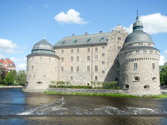
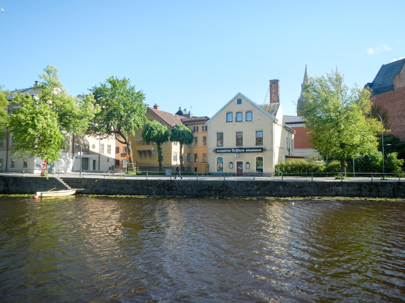
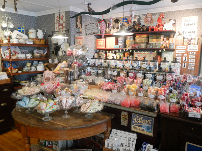
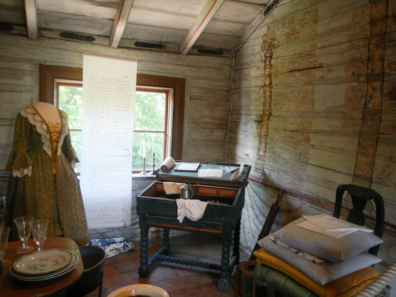
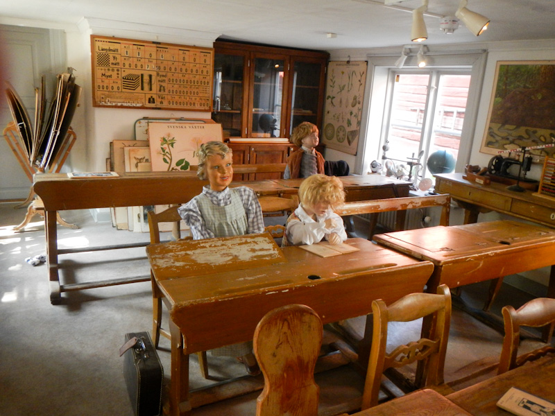
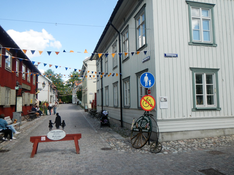
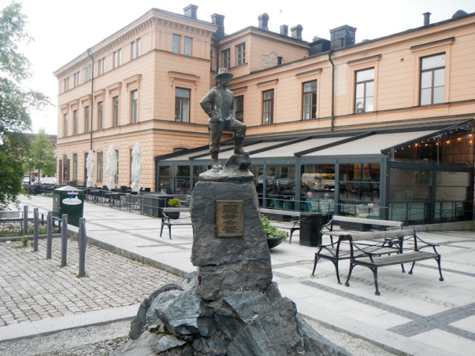
I spent the afternoon wandering around the outside of the huge castle. The museum (free to enter) was closed but I strolled along the riverside to Wadköping open air museum where there are houses, other buildings, displays and memorabilia dating from the late sixteenth to the nineteenth century and demonstrating trades such as blacksmith and silversmith as well as a schoolroom reminiscent of the 1920s. I couldn’t resist buying a large traditional ice cream, before walking back to my hotel.

Day 19 Tuesday 3 June
The bus app worked perfectly – I bought the ticket while I was waiting at the bus stop as it was necessary to buy it for a specific bus. Unlike on my journey into Örebro, there was a screen in the vehicle showing the next bus stop so I knew when to request to get off at Lekhyttan. Technically I didn’t walk my whole route as of course the bus stop was across the main road from where I had got on two days before; I wasn’t obsessive to the extent of crossing the road (the minor crossing road passes under the main road) to the bus stop on the other side then walking back.
It was another day full of walking through almost deserted forests and past lakes. A Swedish man walking towards me was surprised to see anyone else on the path.
The path ran along the border of a military firing range which was clearly live as I kept hearing gun shots.
Somehow I tripped on a boardwalk that crossed a bog. I’m not sure what my foot tripped on, but it was possibly the edge of the wood. There was a wire mesh over the wooden planks (to reduce slipperiness in wet conditions) so unfortunately I put a hole in the knee of my trousers as well as quite a deep graze on my knee). I had to stop to put a plaster on my knee. I was fortunate that the injury wasn’t worse.
The Berglagsleden takes a large and scenic loop past fast flowing streams and picturesque forest through a couple of Nature Reserves and into the Garphyttan National Park, one of Sweden’s oldest National Parks founded in 1909. Initially it was thought that the rich flora was best preserved without human influence but the land became overgrown and the meadow plants declined. At this stage it was understood that the flora depended on the farmers’ activities and on grazing animals.
I reached Suttarboda, where there is a wind shelter then crossed more undulating forest and passed lakes to reach Ånnaboda. Unfortunately the bistro at FirstCamp had closed at 15.00 and so I was informed that I was thirty-three minutes too late to buy a pizza. A sandwich and a drink was the best I could get and although I had plenty of food with me this was a welcome “extra”. Ånnaboda would have been my overnight stop but that was when I had only planned on a single night stay in Örebro and would have made a later start on the walk if I had needed to buy my requisites in the morning before catching the bus. I decided to continue walking a further 7km or so to the shelter at Blankhult.
I walked past Tomasboda, where a committee with links to the Scout Association had gathered for the annual meeting of Föreningen Kilsbergsstugan. As I had thought and they confirmed, the place where I planned to spend the night was a couple of kilometres further on. I’ve just discovered that I was mentioned in the summary of the evening: “Before the meeting, an English lady who was out on a long hike passed by. She had started in Gothenburg and planned to stop in Grövelsjön after 7 weeks.”
I found the shelter at Blankhult but I decided to camp in the meadow near the deserted small outdoor centre. I even sewed up the hole in the knee of my trousers using the emergency sewing kit I was carrying. It was a functional although not particularly neat repair, especially as I was still wearing the trousers at the time.
Day 20 Wednesday 4 June
I woke to intermittent light rain but was able to pack my rucksack in the shelter of the outdoor centre porch. Unfortunately a heavier shower at exactly the wrong moment meant my tent was wet.
I left at 06.45 following easy paths, a track and a road before reaching a particularly tricky slippery and stony path with multiple tree roots crossing it as well as fallen trunks of trees. This was an old mining area. I was concerned that the weather forecast seen the previous day had mentioned a risk of heavy rain as well as thunder and lightning in the early afternoon. I thought I heard some thunder but it didn’t sound quite right and later I realised it was the sound of firing from the nearby army range.
I reached the 744 road and realised that I could turn up this quiet looking road to reach Pershyttan (on the route). However I opted to continue on the path as on checking the forecast no electric storms were predicted -just heavy showers. Further on I reached a minor unsealed road through the forest. I could follow this towards Ramshyttan (on the route) instead of crossing over Amboberget (high ground with a viewpoint). During my planning I had already decided that I wasn’t going to follow a long loop in the Bergslagsleden but was going to take the “short cut” diversion over the hill.
Anyway in the end I decided to take the minor road and omit both the long loop and the viewpoint. My planned overnight stop was at a shelter just after Ramshyttan (another old mining village – the clue is that its name ends with “hyttan”). However, I realised that with the short cut I could reach Nora and stay in a hotel in the town. Given the weather, this was an attractive option and I booked a room at this late stage in Nora Stadshotell right at the centre of the historic wooden town.
I stopped briefly at the shelter at Ramshyttan, overlooking the lake, for a rest and snack but didn’t stop at the Pershyttan industrial heritage area as I’d visited it last year.
As I walked towards Nora, it started to rain heavily. A walker was sheltering under a bridge looking at the map on his phone. He usually lives in Stockholm and was walking north to south. He didn’t appear to be a regular walker and informed me he was doing the trail because “it’s good for me” – very creditable. I think he was just heading for the Ramshyttan shelter.
Signs to Nora on the combined cycle / walking path ran out so I threaded my way through a maze of paths and streets heading towards the church tower I knew was near my hotel.
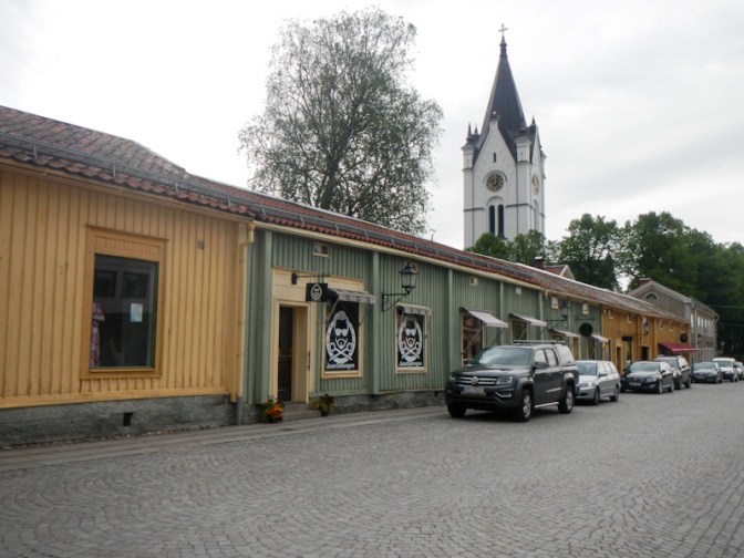
I had a comfortable single room with a view of the wooden houses and the church tower. It was big enough for me to spread my possessions and dry everything. I washed some clothes and bought some provisions from the nearby supermarket before going out for a pizza meal at the even nearer pizzeria. After dinner it had stopped raining and I took the opportunity to wander round the town guided by a walking tour leaflet.

Day 21 Thursday 5 June
The weather forecast was for a dry but breezy day and not too hot. My original plan if I had spent the night at the Ramshyttan shelter had been to leave the Bergslagsleden at Pershyttan to head to Nora and buy food then remain on the west side of the lake and walk north on a road, picking up the Bergslagsleden again near Stora Gålsjön. However, I had deviated from Bergslagsleden the previous day and I was already in Nora with a dry day ahead of me. I decided to retrace my steps southwards towards Pershyttan to reach Bergslagsleden at Digerberget. This increased the distance but meant that I walked more on Bergslagsleden paths and less on roads.
Having regained the Bergslagsleden, the route was on the by now familiar forest paths and some boardwalks across swampy areas. There were iron workings – that’s why my compass was unreliable. I crossed a railway line – part of the oldest railway line in Sweden built to service the Pershyttan Ironworks but now preserved as a tourist attraction.
There was a single view towards Nora – this was disappointing as I had expected more views, but the path was very much through the forest.
I passed a shelter but didn’t stop as I could see there was somebody there with their tent still up. I climbed up a deviating path to a signed viewpoint then retraced my steps to the main path.
I reached the village of Hammarby about four hours after leaving Digerberget. There are old iron workings including a smelting house built in 1544 and used until production ended in 1923.
The lakeside shelter at Stora Gålsjön was in a superb position but I was keen to walk further given the good weather.
I walked through an area where the pine trees unusually only grow to 12-15metres tall. These are mountain pines imported from Central Europe.

For the third time that day I passed near and under some huge power lines – actually the same lines each time. The path was near the shore of Södra Brunnsjön. It didn’t look like a promising area to find a camping spot. However, I reached a luxurious looking shelter on a large and well built wooden walkway. Further along the walkway there was a composting toilet with full disabled access. It was deserted. I set myself up, laying out my sleeping mats and sleeping bag.
About half an hour later, two German cyclists heading for Nordkapp arrived and decided to camp close to the shelter as there was really only room for two to sleep in the shelter.
As I was eating my dinner, the extending bench in the shelter collapsed with me sitting on it. Fortunately I was uninjured but the two men rushed to my aid when they heard a rather dramatic crashing noise.
Suddenly at around 8pm three people arrived virtually simultaneously. Two were a local couple who had come down to think about swimming in the lake (which they decided against as it was too cold). They showed us a superb photo of a moose close-up they had seen in the vicinity on a different day. The third person was a lady from Zurich who was walking part of Bergslagsleden north to south (started from Kopparberg) so there was still space for her to share the shelter with me.
Day 22 Friday 6 June Sweden National Day
Another red day only eight days after the last one. Sweden certainly appears to enjoy a lot of public holidays. Drizzle and rain was forecast for the entire day – typical British Bank Holiday weather! I was first to leave the shelter at 08.00am and was wearing full waterproofs.
The paths passed areas of mining heritage again. Some of the route was along a Church Path. I had come across church paths further south. Monthly church attendance was compulsory in Sweden until the nineteenth century and the Church Paths were kept in sufficient repair to be passable for a horse with a Finnish trailer. Many of the church paths became overgrown when the modern road network was built in the early twentieth century but they have been cleared with the advent of walking trails such as the Bergslagsleden.
I arrived at Uskavi just before 10am and had hoped that the café at the Christian campsite and holiday / conference centre would be just opening. As it didn’t open until 11.00am, I didn’t wait.
I passed areas with more mining heritage – silver, copper and iron. Of course there were also more forests and lakes. There were farms as well. During the heyday of mining, many farmers were also involved with the metal industry including charcoal burning for part of their time.

I walked through a village with several large houses which was where the affluent mine owners would have lived.
I stopped by another beautiful lake and sat in a wind shelter overlooking the lake to eat lunch.
Soon after that I met a Swedish man carrying a fishing rod; he definitely had a very English accent. He explained that he is Swedish but moved to UK at age 10 and attended university in Liverpool. He’s now a Professor of English in Sweden and was actually just going to catch some trout for dinner. In the context that he’s clearly interested in fishing, I spoke to him about Robert Macfarlane’s new book “Is a River Alive?”. Robert Macfarlane is a Professor of English at Cambridge University. We chatted for a bit – all very interesting, but I had a walk to complete and he needed to catch dinner for his family. Some conversations that happen by chance are fascinating!
Further excellent scenic walking followed including a point with a superb view over a large lake, with modern mining activity visible in the distance.
It started to rain again and gradually became more heavy and persistent. I felt very tired during those last few kilometres even though the distance for the day was only a fairly average 28km on reasonable terrain. I had planned to stay at the shelter by the lake at Nyberget but it was pouring with rain. I walked towards the hostel and saw the phone number for the warden. It turned out that the warden was the owner who lives in the neighbouring house but she was out at the time (celebrating Swedish National Day). However she explained to me that the door is always unlocked so I could go into the hostel and make myself at home. I was the sole guest and no-one else arrived. I found the two dormitories each with space for eight guests and the well equipped kitchen and discovered that to stay overnight cost only SKr 200 (just over £15!) plus SKr 5.3 to hire sheets and a towel. I found the “boot drying machine” – an amazing homemade contraption that even had a timer and blew warm air through a metal pipe and into boots place on the pipe. However I couldn’t find the shower or the washroom / toilet!
Eventually I tried to phone the owner again – I had heard a car going to the house. Eva visited immediately and I paid my dues in cash as requested. The shower and washroom / toilet were accessed by leaving the hostel and re-entering through a different door (that was also unlocked but required a good shove to open it). Until then I hadn’t put the heating on as I didn’t really think the fees were sufficient to cover the cost! However Eva had no such qualms and turned the heating on for me.

Now I could also have a lovely hot shower before sleeping in a comfortable bed in a warm and dry hostel. It was a great end to a day that I had found tiring and, at the end, had struggled with torrential rain.
Day 23 Saturday 7 June
The weather was dull and damp. However the forecast was that the weather would improve later in the day. Hence I took my time getting up and even had another shower. By the time I left it was almost 09.30. I had been carrying my gaiters in my rucksack all the way so far. The decision to wear them instead on this day was wise as the foliage was all very wet.
Apart from an initial few hundred metres on a track, the first few kilometres were very difficult to walk, especially with a heavy pack. The paths were narrow with treacherously slippery wood bridges and board walks (no wire mesh on these) and slippery stones. While I was struggling on this part of the route, two women carrying much less than me came flying past. They turned out to be Petra and Jessica – who I was going to see quite a lot of during the day and night.
Eventually I reached Kroktjärnen – a pleasant lake. It was only about 4km from Nyberget. I passed Petra and Jessica sitting on the rocks and having a brew up (actually it’s called “fika” and is an important Swedish tradition).
There followed an easier stretch of walking along a track before the Bergslagsleden turned off on another narrow path. I looked at my map and realised that the path actually re-joined the same track (0.7km on the path or 0.8km on the track). In view of the potentially slippery and difficult state of the path I opted to continue on the track as the additional 0.1km of distance seemed a small price to pay. As I came to the point where the official Bergslagsleden rejoined I saw a female walker with trekking poles approaching me and taking the official route on the narrow path – I was convinced at the time that she thought I was “cheating”.
Soon after this point, the path entered the Kindla Nature Reserve where all four “big” predators have been seen – bear, lynx, wolf and wolverine. I didn’t see any and neither did I see moose or the elusive but aggressive capercaillie (a forest bird). I didn’t take the optional detour to Kindlahöjden, a viewpoint 425m above sea level.
The path had continued to be tricky although not as bad as the earlier section. I was pleased to arrive at a track which was uneven but a bit faster to walk along.
I stopped for lunch at the shelter at Rasbackstjärn. I had still only walked 8km. As I was finishing my meal, Petra and Jessica arrived. The lady with the trekking poles had told them about my “cheating” but they were kind enough not to mention this until I confessed to them!
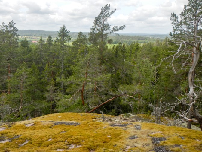
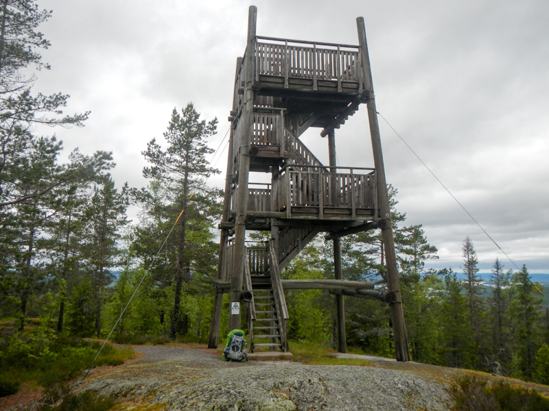
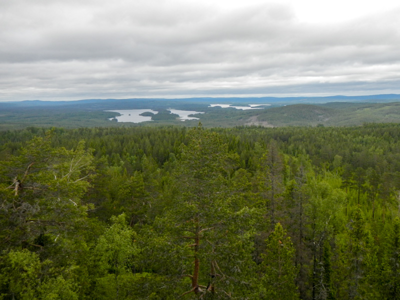
The onward route was more dry underfoot and less slippery so my progress improved. I met a German man and his partner who was from Hong Kong – they were traversing the entire Bergslagsleden from north to south. Soon after this the path ascended a hill with a lookout tower perched on the summit. Mackarsberg is located at an altitude of 375 meters and the lookout tower offers wonderful all round views. I could even see the huge lake Ljusnarn although Stjärnfors, on its south east shore where I was planning to spend the night, was obscured from view.
There was a lot of downhill walking from the viewpoint but then rough undulating paths. I passed a spring and eventually reached a gravel road alongside another lake.
Jessica and Petra appeared behind me and I stepped to the side to let them overtake on a narrow path through woodland about 2km before reaching our destination at the Stjärnfors Vindskydd. They claimed to be exhausted but were moving quickly nonetheless. Later I discovered that they hadn’t had the energy to climb the steps of the lookout tower, which was a pity as it had been a wonderful view (and no need to carry rucksacks up and down).
I arrived at the shelter – a couple of men who had been fishing had started a rather half-hearted fire in the designated area but the wood they used was evidently wet as it was very smoky. They left soon after I arrived and with Jessica and Petra, enjoyed a sunny, dry evening looking at the view across the lake. As they worked as primary school teacher and kindergarten teacher, I learned a lot about the early years education system in Sweden too. The shelter was plenty big enough for all three of us.
Day 24 Sunday 8 June
We all woke at 06.00am and Jessica and Petra were ready to leave by 07.30am. Before they left, they took a photo of all three of us – I should have given them my e mail address so they could send it to me; I realised too late. It took until 08.00am for me to be off.
The view of the lake when we woke was amazing. Most of the wind had died down so the surface was glass smooth and the reflections of trees sharp in places were sharp as if in a mirror. I didn’t think I would need my gaiters.
In 2024, after my premature homecoming, we had returned to Sweden and the trip included a visit to Kopparberg for a few nights – my husband had organised a visit to Sweden to meet me at the originally planned end of my expedition and I had a plane ticket from Stockholm to London. We had just booked a flight to Sweden for me and informed the various hotels that we would be two people each night rather than one as all my husband’s bookings had been in double rooms. Hence I had already walked round much of the perimeter of Ljusnarn.
On this occasion, I signed the visitor book by the “viewpoint” – any view is obscured by trees, although there is a view further downhill where the path meets a track. I noted the signature of the German man and his partner from Hong Kong who I had met the previous day.
Soon I was on ground I hadn’t walked along before as last summer I had continued on the track to return to Kopparberg. This time I took the path to the lakeside swimming area. There is even a flush toilet! I stopped for a while to burn off the remnants of gas in my large canister which had stopped burning strongly enough to be effective at breakfast time. The single canister had lasted all the way from Göteborg. There was a litter bin too so I could dispose of it along with my other bits of rubbish.
I continued on the route, crossing an intersection with the Postleden Trail, traversing several boardwalks over marshy ground (dry and not slippery today) and then following a path next to a railway line until I reached a level crossing. A very long freight train passed on the track.
After the level crossing, there was a lot of uphill walking and sadly trees obstructed the views. I passed some holes in the ground – these had been dug for copper prospecting. Some of the area was quite barren – apparently due to copper in the ground water.
I reached Gillersklack which is the end of the “stage” and was the planned end for Petra and Jessica, who of course with setting off earlier and lighter rucksacks must have arrived long before and had already departed with their car lifts home. It is clearly more of a winter ski resort than an early summer resort. It was almost deserted – I just saw an elderly lady walking two very loud chihuahuas. There was a water tap but no sign of an open reception or a café.
I continued to complete 9km of the next stage towards Kloten. There was even more uphill walking. In places where there were views, the forest stretched to the horizon.
The lake, Holmsjön looked idyllic and I was tempted to pitch my tent. However, in view of the good weather and the less good forecast for the next day, I decided to continue.
Småtjärnarna is an area of attractive small lakes within a nature reserve.
From there, I followed a track to Lilla Kroktjärn. The shelter is in a very picturesque position and I enjoyed watching the evening sun across the lake as I ate what turned out to be a delicious dried meal of reindeer stew. I felt exhausted – I think the slippery bits on the previous day had taken their toll on my energy.
Day 25 Monday 9 June
I woke in the night. The sky was totally clear and the moon appeared to be suspended as an enormous circular orange light above the lake. Sadly I didn’t take a photo. It was cold in the morning and the sky was blue and cloudless.

The ground was dry and apart from rocks on the path it was easy to walk. The path narrowed and was overgrown near some electricity transmission lines and it became difficult to follow the route.
I walked alongside a picturesque flowing stream to cross on a bridge near a lake outlet then double back on the opposite bank of the stream. Soon after that I arrived at a rest place: a small cabin which had been home to a peasant farmer and had been reconstructed with a sleeping platform inside.
After leaving the cabin, the paths became wider and easier to walk along so my pace quickened. I passed a village with overgrown meadows and crofts, probably dating back to times of Finnish colonisation in the 1600s.
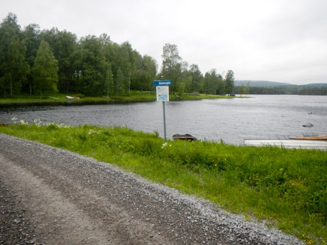
Eventually I arrived at Kloten, the end of the Bergslagsleden. The village grew up as part of the local iron industry and then remained when timber industry took over from iron. An old smelting house has now been converted to a fish hatchery and much of the village is now a tourist centre, concentrating on wilderness experiences. It started to rain.
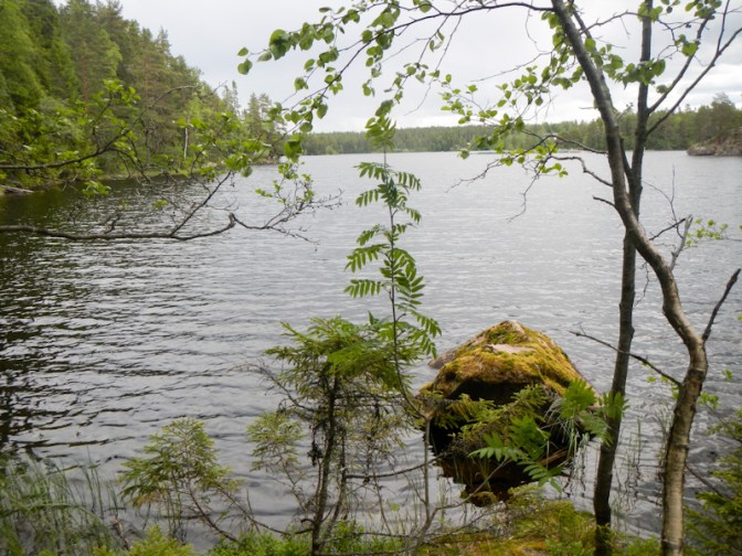
I rang the doorbell for the wilderness area cabin – the men working outside explained that they weren’t the people running the shop and “campsite reception”. I’d hoped to be able to buy a few cereal or chocolate bars to supplement my snacks but when I asked the man (possibly the owner) who answered the door he told me “We’re a wilderness area, not a supermarket”, although I noted various items of tinned food for sale. In the end I just bought two small boxes of raisins at an inflated price. There was a notice advertising coffee and I could see coffee behind him but the man was unable to serve it as “my wife does that and she’s gone to clean the other wilderness lodge a few kilometres away. She might be back in twenty minutes…”. I had understood from the website that wild camping wasn’t permitted in the wilderness area so I paid SKr 200 for a pitch in the wilderness campsite. After I’d paid the man told me that I could have wild camped! He explained in great detail, despite my maps being evident, how I could walk to the camping area, where I should put my tent and that the water there from the pump would need to be purified to be safe to drink.
I set off in the rain, initially following the recommended walking route. However, given the wet conditions and the risk of slipping on wet rock or boardwalks, and the fact that the unsealed road was almost empty of traffic, I soon opted to follow that. As a result, my progress was rapid and I arrived at the campsite around 15.30.
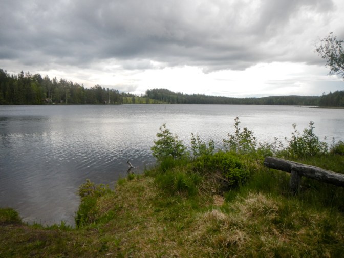
The wilderness campsite was a bit disappointing although the lakeside location was pleasant. Most of it was full of caravans that appeared to be pitched there for the season so I camped nearer to the lake. The rain stopped for long enough for me to pitch my tent then conveniently stopped again for me to eat dinner between showers. There may well not be “supermarkets in the wilderness” but there was both 4G and a phone signal; perhaps I should let the man at the “reception” know about wilderness in Scotland, Wales and even parts of England such as Dartmoor where there is most certainly no data or phone signal!
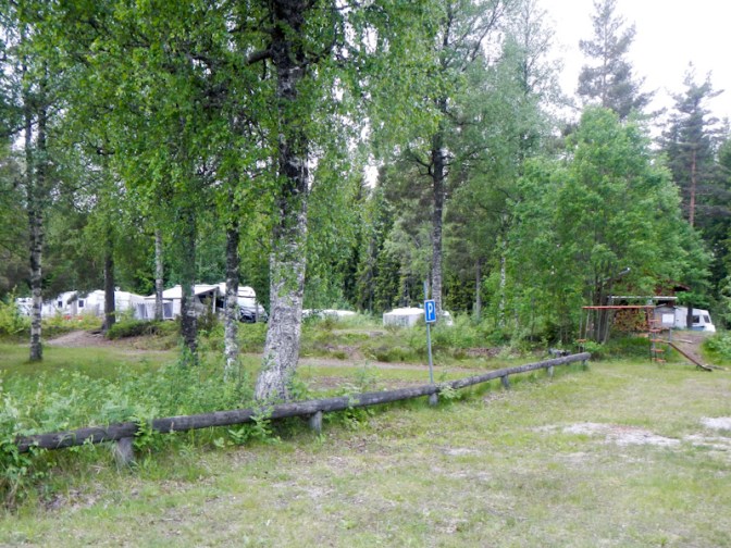
Day 26 Tuesday 10 June
It went on raining overnight and was misty when I woke. I was walking by 07.45am. Within ten minutes I passed a free of charge camper van site, an enclosed free of charge cabin and a superb area by Spannsjön (the other lake in the area) where there was plenty of potential to pitch a tent. There was even a nearby composting toilet. The only “extra” I had by paying to camp was a rubbish bin.

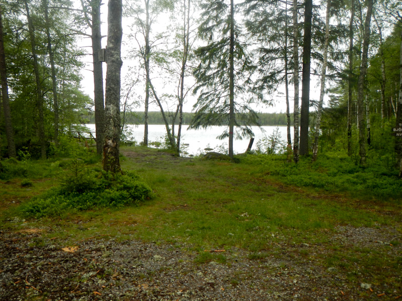
I enjoyed a pleasant walk on paths to Björsjö and then followed a quiet road past a swimming area on the lake.
I spotted a path on the map to avoid more road walking. It wasn’t signed but started clearly although as I walked further the way was blocked by fallen trees. However I managed to cross them and emerged on a track which was almost a road with intermittent signs confirming that I was on the Smeleden route. There was a lot of ascent followed by a long stretch close to and below large power lines. Fortunately there weren’t any thunder storms forecast.

Later the route descended to the Smedjebacken valley. I had accommodation booked at Lottas Rum – it’s more or less on the E1 / Smeleden route and on the west side of Smedjebacken. I wasn’t sure of the exact route of the Smeleden so I used Google Maps once I reached the edge of the built-up area. Unfortunately the track that appears to cross the railway line was blocked off at the crossing (possibly a new fence) and Google Maps directions crossed the line there. Rather than backtracking, I managed to squeeze along a gap between two fences but then I found that I was crossing the end of someone’s garden to reach the road.
However, eventually I reached my destination about thirty minutes before the official earliest check-in time. I phoned the number on the door but in fact the man who was repairing a bike nearby turned out to be the partner of the owner so I could have just spoken to him. I had a great welcome and was soon sorted out with bed linen, an enormous room and introduced to the Japanese guest who was already there. When he found out that I was planning to walk to the town centre to buy food from the supermarket, I was even offered the loan of a bike. I declined – although as it turned out there was an off road cycle and footpath all the way so it wouldn’t have been difficult. All this for under £30 plus a small additional charge for bed linen and a towel!

The house was built in 1908 and is furnished and renovated in period style although with all mod cons including a kitchen that was more than well equipped for my needs.
The nearby Pizzeria Morgårdshammar looked like a small shack. However it has good reviews which turn out to be well-deserved. I enjoyed a delicious and well-made pizza cooked by the Iraqi owner who has lived in Sweden for fifty-three years.
Day 27 Wednesday 11 June
It was raining but the forecast was that the weather would improve later so there was little incentive to leave early. Besides which, it was such comfortable and beautiful accommodation. I woke at 06.30 anyway but took my time to enjoy the huge breakfast feast purchased from the supermarket the previous day. It was almost 09.30 by the time I was ready to leave.
The route north was easier to follow than the route from the south and I was soon walking uphill out of the valley on a clear track and path. As I walked past one house, a dog suddenly ran out and seemed quite aggressive, with a lady in a surgical boot in hot pursuit. Unfortunately she just opened her door as I walked past and the dog had escaped past her. She explained that she had recently undergone bunion surgery. It was clearly a day when I would be troubled by dogs – quite unusual in Sweden as rules to keep dogs on short leads and under control seem to be widely obeyed. At the side of the track I saw what looked like a warning about loose guard dogs; as I knew this was an established path, I continued on. I thought I was past the “danger-point” and then felt something brushing against the back of my trousers – it was an Alsatian that started sniffing me but not apparently behaving aggressively. I managed to walk on and it didn’t follow – I think I had a narrow escape!
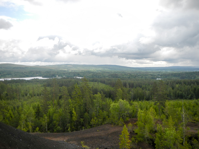
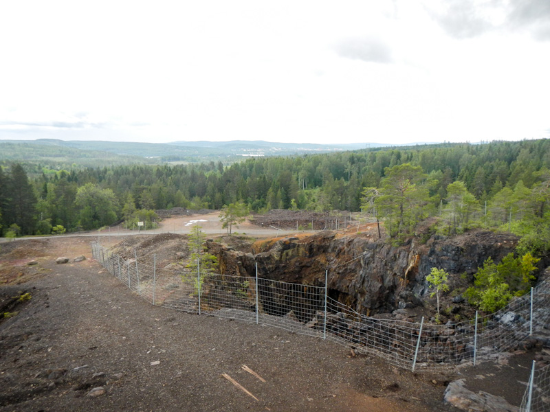
The path continued to meet a road in an old mining village: Silvhyttan (the suffix “..hyttan” is the clue about mining) and then turned off uphill to large mines which have been preserved by a non-profit society as a tourist attraction. There is also a lookout tower – which I ascended. Silver was mined from here from the 12th century until 1755, when it was replaced by iron, lead, zinc, manganese and arsenopyrite mining until the mines were eventually closed in 1982.
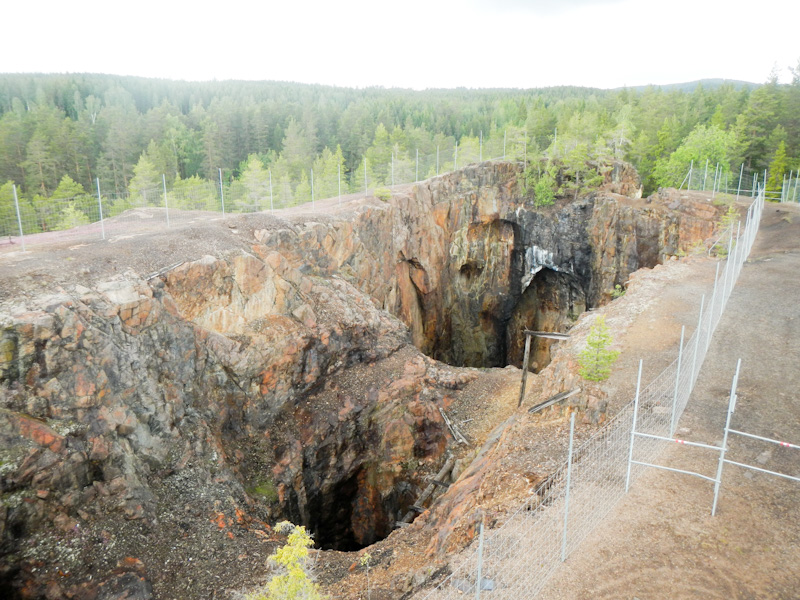
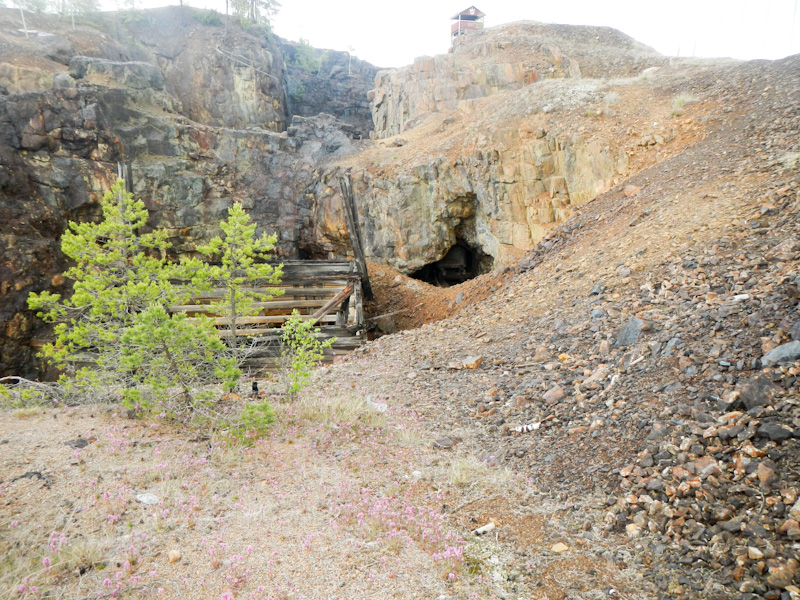
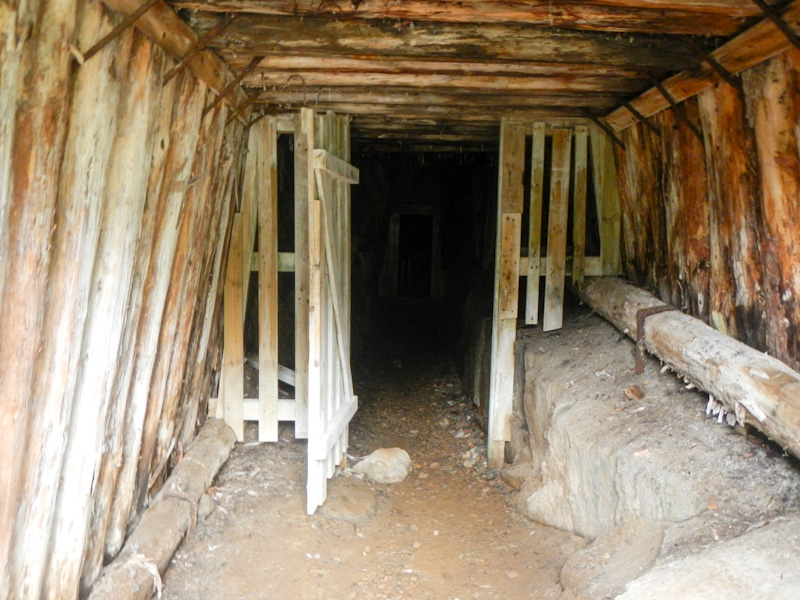
Eventually the path descended again to a lake and along the edge of Jätturn nature reserve. I stopped at a picnic table for a short break and a couple with a large camera emerged along the path through the reserve. They were ecstatic over its beauty and suggested I should go and look. This would have been reasonable as one of my options for the night was a shelter near the lake (a bit off my route). However, I was making good progress and was keen to continue further.
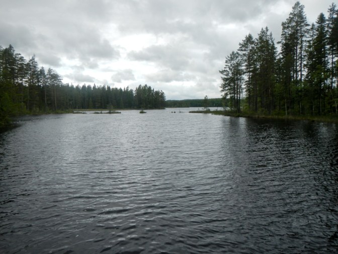
Until that point, the Smeleden route had been patchily signed. However, from there signs became non existent. I followed the track as on my paper map. I reached the point where a path should leave the track, but there was only thick vegetation. I could see that I only needed to get through about 500m of this terrain to reach what looked like a good forest track on my map. However after plunging into the area and searching for anything resembling a path – physical searching aided by GPS which wasted lots of precious battery power – I realised that the 500m walk could take hours and that I was at risk of putting my foot in a hidden hole.
The alternative was 5km on unsealed roads which was what I decided to do. I made rapid progress but it meant that I took a further hour to get effectively 500m further on and that was on top of the time I had spent trying to get through the undergrowth.
I could see that there was a shelter and picnic area as well as a café adjacent to the marked 50 road so I decided that would be my destination for the night. The café was closed at 18.30 despite the sign saying it was open until 19.00. The sleeping platform in the shelter was broken. There are effectively two car parks there – one is definitely more like a motorway services and seemed to be state run with modern flush toilets. The other appears to be on private ground adjoining the café. There is a camper van area with notices about payment – this was empty but there were camper vans parked in the car park near the flush toilets. I ended up finding a patch of grass to camp near the empty camper van area – the café was closed and I was sure that I would have left before it would open in the morning, advertised as 09.00am.
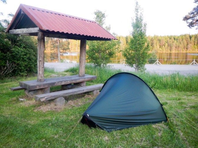
The route I was following appeared to cross the 50 road and then follow the road for a short distance before turning off as a track. However, I spotted that it appeared to cross the railway line – given my experience with a blocked railway crossing point in Smedjebacken, I was concerned as to whether there would really be a crossing point or whether it would all be fenced off. In any case, the 50 road appears to be a clearway with fencing on both sides and looked as though it was the type of road where pedestrians would be banned. I hunted around for a pedestrian tunnel under the road (there was no bridge), but couldn’t find one. I studied my maps and realised that there was a possible way around the problem – retracing my steps a short way then turning onto a track that crossed a narrow section between parts of a lake (bridge on the map). From there I could walk along a normal road (644) which passed under the 50 to cross it at a motorway type junction with slip roads and re-join the E1 at the village Ramshyttan. I was pleased to have got this all worked out during the evening and relieved that I had realised the issues before I had started walking. If I had stopped at the Jätturn shelter then I would have run into all these problems early the following day and potentially even lost my position of being a day ahead of schedule. I definitely wanted to retain this position for what I thought could be the more difficult mountain sections between Sälen and Grövelsjön where I could lose time.
Day 28 Thursday 12 June
I woke to a beautiful cloud free day. I was up at 05.00 and all ready to walk at 06.30am. I navigated my new planned route – everything seemed to be going well. I reached the water crossing point after 45 minutes only to discover that the bridge appeared to have been washed away. The water was definitely too deep for me to attempt a crossing. A decrepit rowing boat without oars wouldn’t be any help. I could see that there was a strong current too. On the other side I could see a Landrover with a high air intake pipe and converted as a camper van. However I don’t even think that vehicle could have crossed and besides the occupants might not wake up for a long time and wouldn’t want to risk destroying their expensive vehicle or worse to ferry me across.
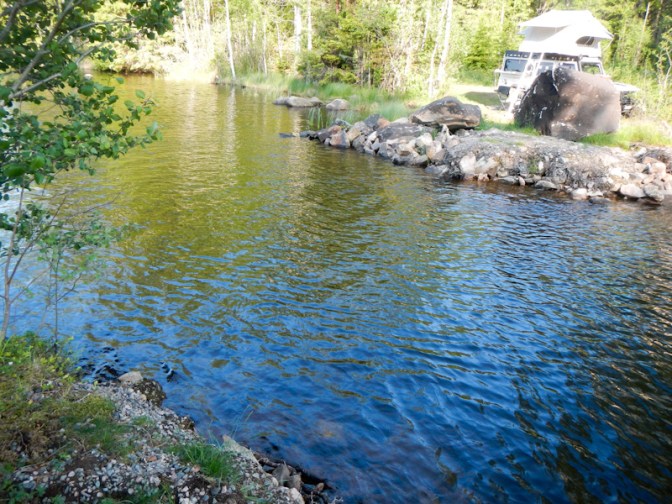
I had another look at the map. There really wasn’t any other way around the problem. I was seemingly stuck unless I could persuade a motorist at the service area to give me a lift to the “junction” with the minor 644 road (just over a mile south of the service area). I walked for 45 minutes back to the service area and double checked that there really wasn’t any pedestrian pass under the road.
I saw a couple sitting in their Swiss registered camper van eating breakfast and attracted their attention. At first the lady who I spoke to was a little dubious. It’s hardly surprising – I was wearing muddy clothes including trousers with a darned hole and carrying a rucksack that has been on lots of adventures and in all likelihood hadn’t combed my hair – so I probably appeared a little disreputable. However, her husband when asked by her, agreed to help.
We went on to have a conversation as they finished their breakfast and made the van ready. Their agreement was even more generous as in fact they were heading in the opposite direction so would have a two mile round trip out of their way. The lady’s superb command of the English language was soon explained – although she works now in a residential home for the elderly her previous work had been on cruise ships. I’ve travelled quite a bit in Switzerland – they explained they’re from Graubunden – I couldn’t quite visualise where that is but have checked now and realised that I have been there as I’ve had a walking holiday in Davos. I gave them one of my blog cards and she was delighted to see the puffin avatar – she loves puffins and they had even been to Shetland in the past. Their kind action had put my expedition back on track. I don’t even know their names, but I remain incredibly thankful.
The 644 road was relatively busy but there was good visibility and I remained very close to the edge. Actually there were a couple of tracks which were probably remnants of the road before it was “improved” so I wasn’t walking much on the road. I turned off onto the 646 to continue from Ramshyttan to Tuna Hästberg. I was back on the E1 as shown on the official website.
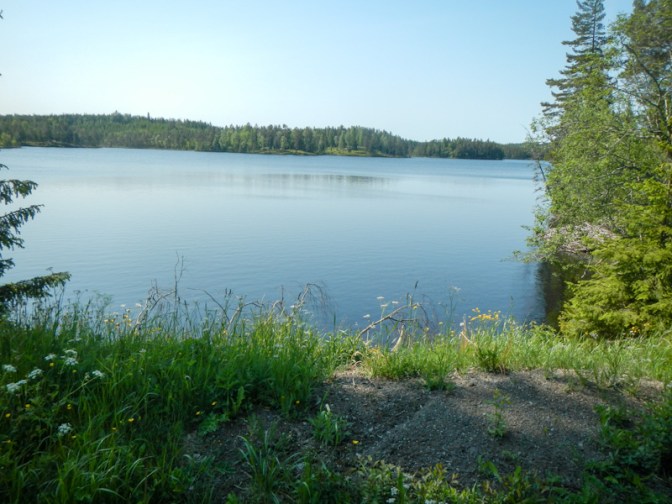
From Tuna Hästberg, the E1 is supposed to go along a complex looking network of small roads and paths to Lake Gomen and then into the Gyllbergen nature reserve. However, given my recent experiences, I had concerns. Like the section that had just caused me so many problems, this bit had no GPX files on the website and it didn’t seem to be part of any other named long distance path. Moreover, I remembered seeing some comments on the E1 website mentioning that others had struggled to find paths in this area. I studied my map and eventually decided that from Tuna Hästberg I would continue on an unsealed road to Laxsjön then turn off to walk through Långmyran before re-joining the E1 route at Fjästjärnen.
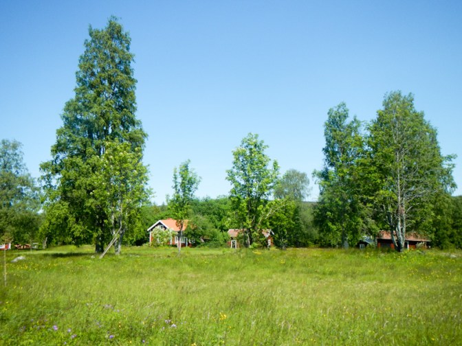
I think I walked further than the official route but I avoided the section of concern. My diversion was mainly on sealed and unsealed roads as well as wide tracks so I was able to walk at speed. It was just disappointing to bypass the path through Gyllbergen nature reserve especially the fault Dragbergsgatan, an approximately 400-metre-long, 10-metre-wide and 10-metre-deep gorge in the rock.
The issues with the route had actually led to me becoming further ahead of schedule. On the basis of being one day ahead, my end point would have been a shelter at Dragsjön close to the fault line and I was ahead of this.

At Fjästjärnen there was even a specific E1 sign! The forest was particularly wild and beautiful. An information board mentioned the possibility of seeing capercaillie but they are a very shy (although aggressive) bird and I didn’t spot any.

I had hoped to be able to camp near the sitting shelter at Backbodarna as there is a stream close to it. However there was nowhere to pitch a tent and I merely filled my water bottles then walked another 3km to a beautiful patch of forest just beyond some summer houses at Gronvall. In effect, I had gained half a day more ahead of schedule; I was tired as I had been walking at a relatively fast pace for much of the day.
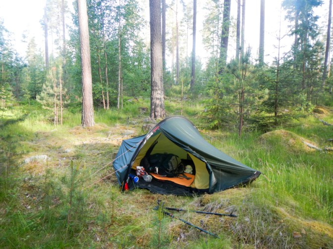
Day 29 Friday 13 June
The path to Mockfjärd was difficult to walk as it became very stony; it was also difficult to follow in places and I took a wrong turning with little alternative than to backtrack as soon as I realised. Mockfjärd has gone through many phases beginning as a farming area supplemented by charcoal manufacture and lace-making. In the early 1950s, when agriculture was becoming less viable, the town was chosen by the company Elementhus to base its kit-house manufacturing. Unfortunately the recession in the 1990s led to collapse of the company. Nowadays several smaller industries have replaced the one big employer and the town is thriving again.
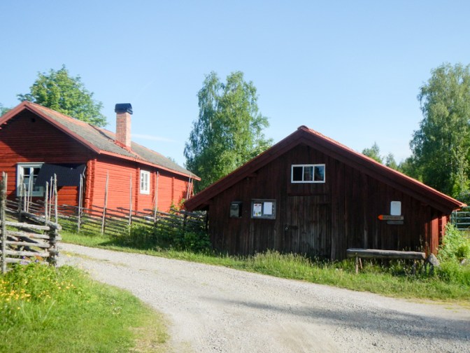
As I reached the outskirts of the town, I saw the enormous timber processing area. Huge log piles were being sprayed with water and there was a lot of machinery operating. I had to wait at the level crossing while a very long freight train carrying logs snaked its way past.
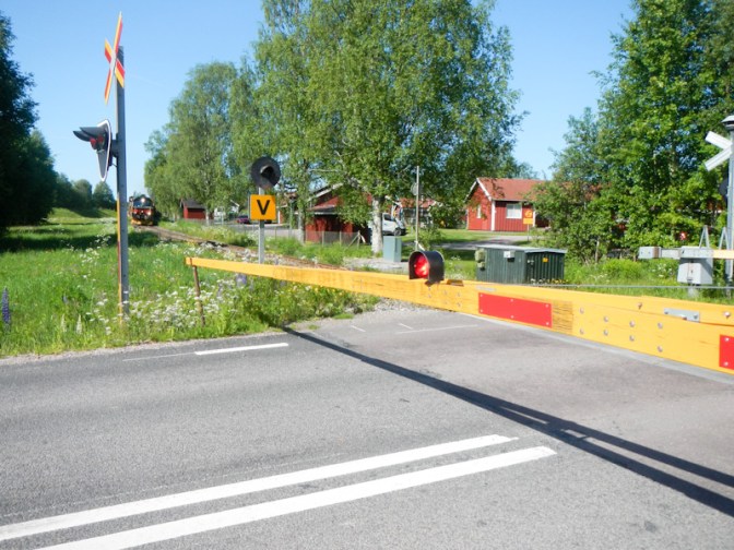
I bought my groceries at ICA then sat on a convenient bench to sort my shopping and finances before arriving at the Greek pizzeria and restaurant soon after it opened at 11.00. As usual in these restaurants, the lunch deal was extremely good value – a huge bowl of spaghetti carbonara (topped with a raw egg yolk I hadn’t expected or wanted!), a 330ml soft drink, side salad, bread, coffee and cookies all for SKr 110 (that’s about £8.50!).
It was hard work walking after such a huge lunch, especially as the weather was particularly warm and sunny. It was a bit unusual as the need to carry most of my food meant I had to ration what I ate; my energy expenditure was high so I was more often feeling hungry rather than full!
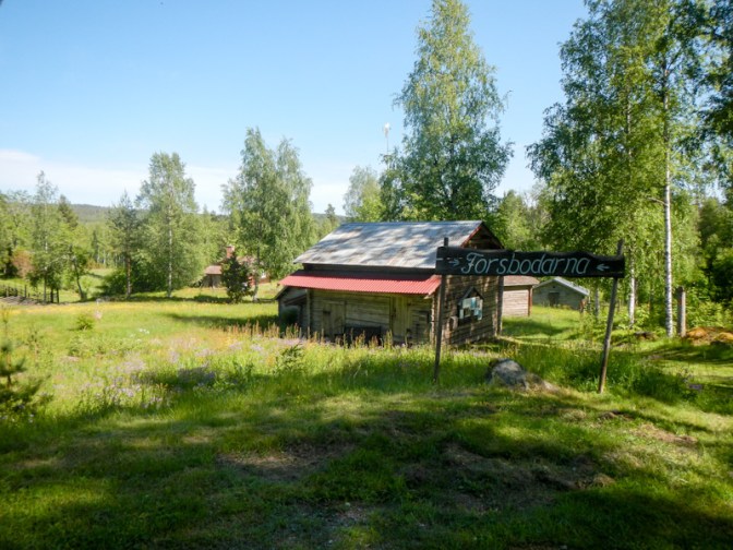
I decided to bypass some of the paths and walk briskly up an unsealed road rather than more slowly along narrow and uneven paths. However by the time I arrived at the picturesque summer pasture settlement at Forsbodarna, I was back on footpaths and the official route.
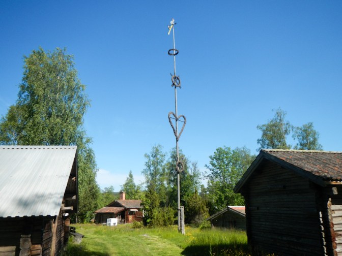
In view of my extended lunch stop at Mockfjärd, it was 8.30pm by the time I reached the summer pasture village Sångberget, above the lake Sången. The village seemed to consist of around half a dozen houses and some outbuildings. The whole place was apparently deserted. There was a convenient nearby spring. I decided to pitch my tent in the village area although not within one of the mown gardens. I thought it was unlikely that any of the owners would be arriving later that evening and I would be leaving the site early in the morning. It really didn’t seem worth making a descent to the lake and I wasn’t quite sure where the path was anyway.
Day 30 Saturday 14 June
I was up and ready to leave Sångberget by 07.30am. The path went over boggy ground without any boardwalks. I passed a sign where I was asked to add my name to the book, which I did.
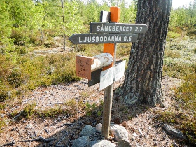
It took about an hour to reach Ljusbodarna, a large summer pasture village with preserved buildings. It’s still used as a cattle grazing area in summer. There is even a historic wooden house used as a rest cabin and free of charge to stay overnight. It would have been amazing to spend the night there but it would definitely have been too far for me to walk the previous day.
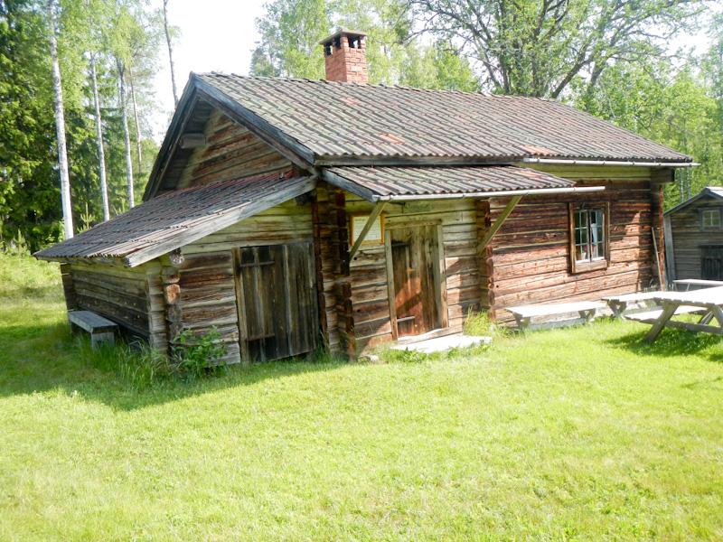
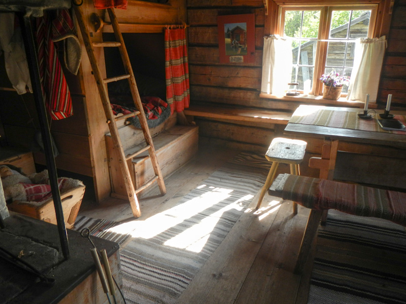
The village is also on the Romboleden route – a pilgrimage route since the eleventh century when pilgrims travelled to the grave of St Olav in Trondheim, Norway. The Romboleden trail today is Sweden’s longest pilgrimage route (900km) and the oldest in the Nordic countries. It runs from Köping to Trondheim.
From Ljusbodarna, the route went over further boggy areas. However part way along the route, a notice suggested diverting off the path to get past the very worse bits. This I did. As I walked on the diversion, I met Birgitta and her dog heading towards me. She explained that she lives all the year in what is essentially a holiday chalet on the shore of Lake Djursjön, having moved from a more urban area of Sweden as a lifestyle choice. She works as a care worker which she enjoys, although evidently suffers with similar problems to care workers in UK – wanting to spend more time with clients but being time limited to get on to the next client. She sometimes has to get through 40cm depth of snow in winter to reach her clients. Her command of the English language is amazingly good, despite telling me that she has dyslexia. A wonderful lady, who even told me that her chalet was unlocked and I could drop in to charge my phone! – which I didn’t do just in case I stopped at the wrong house.
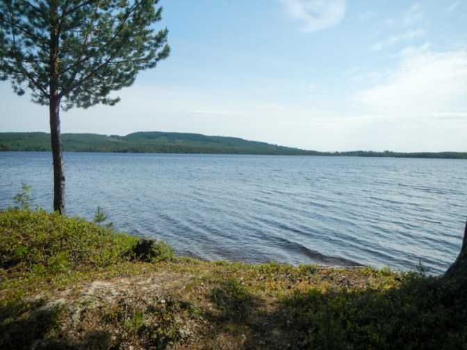
I reached Djursjön and followed the shore of the very scenic lake before turning off and walking through more forested and boggy areas to reach another summer pasture village.
It was clearly the weekend for mowing grass – on the unsealed roads nearly all the cars were towing a trailer carrying a mower. Maybe they were all getting ready for the Midsummer celebrations in a week’s time.
The E1 reached its junction with Siljansleden, a trail well marked with signs and orange waymarks following old mountain pasture paths, along lakes, over marshes and up mountains. This was to be the route for me to follow the next few days almost all the way to Mora.
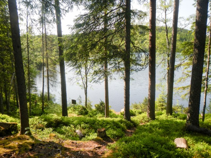
I reached a lovely cabin at Björntjärnen, overlooking the lake and within a nature reserve. However I was keen to cover the additional 6.5km to Brasjön. I couldn’t find the shelter (it turned out that I hadn’t walked quite far enough round the lake). Instead I found a pleasant lakeside camping spot. I realised that this might be the last warm and rain free day for a while.
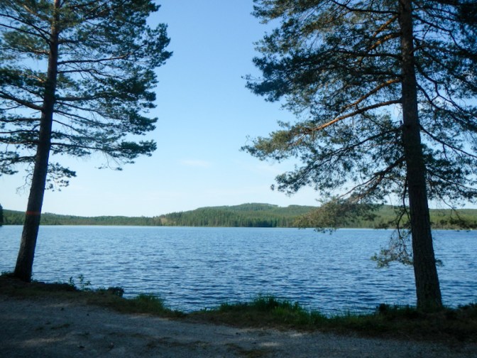
Day 31 Sunday 15 June
I woke when my alarm went off at 06.30am – that’s quite late for me at the moment! Yesterday evening I redressed my knee with a hydrocolloid dressing. I was concerned as I had grazed it when I fell on 3 June and over a week later it still didn’t look as though it was healing with normal plasters as dressings. This morning it looked red so I hoped it wasn’t infected. My left low back twinged more too – that’s the old injury from last year that I spent most of the year seeing a physio and doing exercises – I hoped it was going to hold out.

To my relief, everything seemed to improve once I got up and started walking. I followed more paths through the forest, over bogs and through small villages. I was surprised to see that Klockarberg, which seemed to be in the middle of nowhere, has a bus stop – on further investigation it seems to be a service that runs on request only.
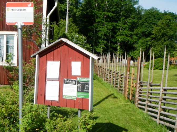
Next I passed through Jobsarbo, a pleasant summer pasture village with well kept summer houses.
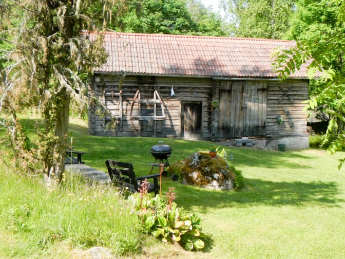
I stopped at Lilla Kollsjön for an early lunch and to admire the view.
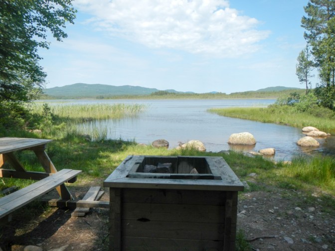
The next summer pasture village was Hjulbäcks-Åsen where I had my first view of the massive Lake Siljan – Sweden’s seventh largest lake, formed by the impact of a meteorite in prehistoric times.
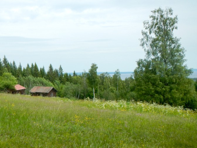
The shelter at Svarttjärnen in a beautiful setting overlooking the lake looks like and is a chapel. It’s actually on the Romboleden pilgrimage trail.
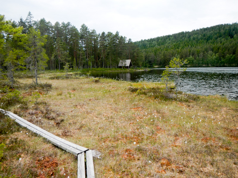
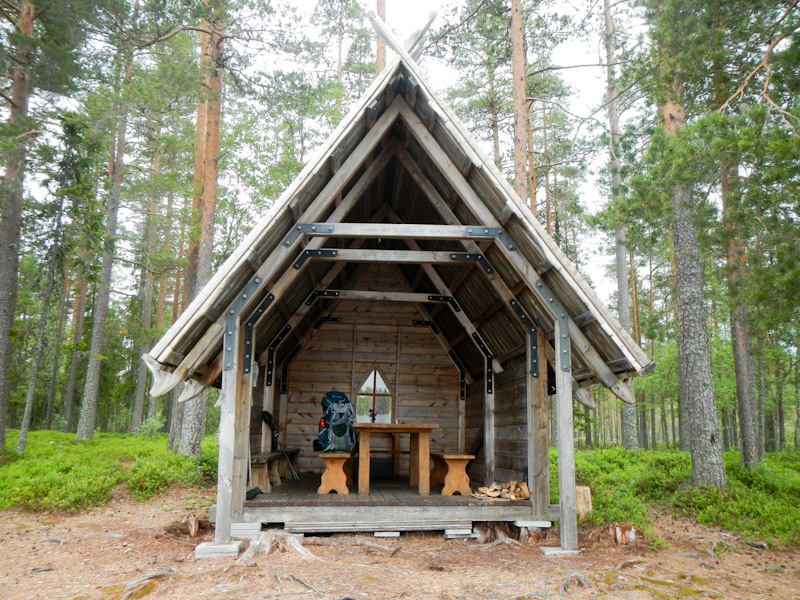
I reached and walked through the holiday centre at Åsengården, which was a good place to find a litter bin and dispose of my rubbish. I also had further views of Lake Siljan.

I only had another 5km to go via Holen to Mångberg. They’re both summer pasture villages and seemed to run unto each other. Mångberg looked like quite a lively place still with a community centre and stage near the lake. There was a young boy fishing. I had been fortunate with the weather as I had expected it to rain. However as I walked through Mångberg there were a few drops. I found the shelter site soon after the village but decided to camp nearby in my tent. The ground was hard and the pegs took a fair bit of hammering in with a stone. It started to pour with rain.
I was concerned that the area of redness around the graze on my knee was larger. I re-dressed it and drew around the red area so I would be able to assess in the morning whether it was becoming a worsening cellulitis. I even looked up information about seeking medical attention in Sweden to get antibiotics – actually not too difficult as it would be an hour to walk on an unsealed road to Gesunda from where I could catch a bus to Mora where there’s a hospital that appears to have both a minor injury unit and a larger emergency unit for more serious problems. My back was twinging a bit too and my result when I monitored my warfarin dose had increased – both things that could happen in conjunction with an intercurrent infection. As a further precaution I also charged my phone fully using my power bank in case I needed to make phone calls and was put into long queues.
However, I remained hopeful that all those preparations would prove not to be needed.
Day 32 Monday 16 June
The midges were out in force as it was damp outside following significant overnight rain. The redness over my knee hadn’t extended (phew) and then seemed to improve after I took an antihistamine to help the inevitable midge bites. I have to admit that on the first hydrocolloid dressing I’d accidentally left on the clear film that should have been removed, so perhaps I’d been a bit allergic to that (don’t ask a doctor to do dressings!).
I set off in good spirits and enjoyed walking on easy paths with just a few boggy areas and stony sections. It was a cross section similar to much of my walk so far – forested areas, deforested areas, summer pasture sometimes still with summer houses and there were still some charcoal burning “bottoms”. It was dry, not too hot and there was a pleasant breeze.
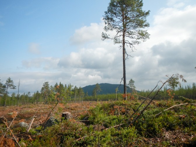
I passed another chapel on the Romboleden.
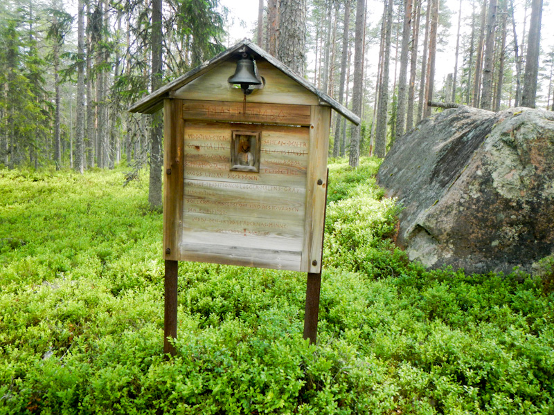

I dried my tent while I was eating lunch, as I expected it to rain later in the day.
I arrived at a road near Siljansfors where there is a forestry museum. There would have been a lot to see there and it had an admission fee so I didn’t have time to look at it. However, I stopped at the very welcoming café to enjoy a post lunch snack of cinnamon bun with coffee – Swedish delicacies.
The route continued with a lot of uphill walking through the forest, passing a very small cabin which would have originally provided accommodation for six foresters. The expected rain started with some heavy showers.

I had to walk uphill even further to the summer pasture village at Fulåberg. There was a notice next to the village well on the green, inviting passers-by to enjoy the water, but not to use the well bucket as a wash basin. For the first time in my life, I wound up a bucket of water from a well and used it to fill my water bottles. Unfortunately there’s no photo!
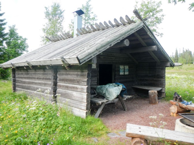
From the village, it was another 2.2km to Södra Garberg and it was virtually all uphill and steep. At the end of the day, this was tiring. However, the effort was worthwhile – at the top was a wonderful enclosed cabin which was deserted apart from the midges (so just as well that it was inside!). It was fortunate that I’d filled my water bottles at Fulåberg as the water supply was back down the hill (and when I looked in the morning, I couldn’t find the water).
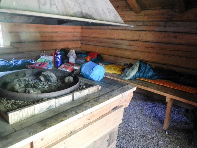
Day 33 Tuesday 17 June
I enjoyed a comfortable night in the cabin. I heard rain and was delighted that my tent was staying dry in its bag .
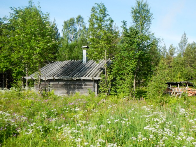
I woke to find that the bad weather had passed over – the sky was blue and cloud free, a sunny day. According to the sign near the cabin, it was “only” 18km to Mora. As I was two days ahead of my planned timetable, I had booked two nights in Mora staying in an apartment with a washing machine. I would still maintain my position one day ahead of my schedule and I felt sure that provided sufficient reserve time for delays.
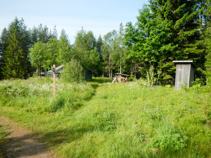
Eventually I left at 08.45am having failed to find the water source signposted back down the hill. At least I could see a stream where I would be able to collect water within the first kilometre of the route.
The walk was advertised as 18km on the signpost and I made the mistake of deciding it would be an easy day. However, the first 6km were very boggy and I was picking my way, taking three hours rather than half that time which was what I had hoped. I stopped and ate an early lunch.
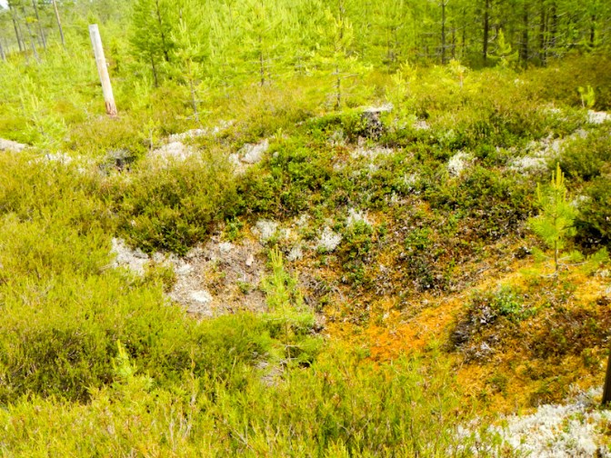
There were more boggy areas after lunch and I took the wrong turn (despite following signs to Mora). When I realised, I decided that the best option was to back track.
I reached the combined Vasalopet / Siljansleden tack where there was only 5km to go to Mora. It started easily enough on a wide track but sadly after two kilometres it became more like a “building site”. Evidently new tracks were under construction for the Vasalopet races, there wasn’t a signposted diversion and it was like walking over sand dunes. I guess I was fortunate that the route wasn’t closed.
Eventually it all became easier again with the route following the river bank then passing through a FirstCamp site. The apartment I had booked was on the route so it was easy to find.

I arrived much later than predicted so probably just as well that I had two nights to get sorted out. The washing machine was shared between all the apartments in the small block but no one else was using it. I ended up putting all my clothing through two washes as my socks still seemed smelly after the wash on “synthetic” setting – I used “sports” setting the second time round. The town centre was very close so I visited ICA to buy food for dinner and breakfast, spotting what looked like a very well stocked outdoor equipment shop on my way. It was closed as it was early evening but I could see that they sold freeze dried food and gas for stoves so I wasn’t going to need to catch the bus to the out of town shopping centre to buy those things the next day. I also saw the bookshop next door to the outdoor shop and noticed that they sold the water resistant Calazo maps that I hoped to carry for the upcoming mountain sections of the expedition. I even bought a celebratory 3.5% beer at the supermarket (the strongest available in shops except by visiting the Government run alcohol stores).
Day 34 Wednesday 18 June
I had a relaxed start, completing a second load of washing – everything would have fitted in one load but I needed something to wear when the washing was being done, especially as the machine wasn’t inside my apartment. As I only had one pair of walking trousers and one pair of very lightweight trousers, that had meant wearing the latter, which doubled as my pyjamas, to the supermarket the previous evening – the only other alternative would have been to wear my waterproof over trousers.
The disappointment with my “big” breakfast was that what I had thought was salmon pate was actually a mustard dressing for salmon. I had bought some smoked salmon too as I hadn’t spared any expense, but it tasted much better without the dressing. This is the problem with choosing items with labels written in a language I don’t speak!
It was the middle of the morning before I walked into the town for a successful shopping expedition, buying the three maps I needed for the mountain area from Sälen to Grövelsjön from Akademibokhandeln and freeze dried meals plus gas from Nära Fjället then the additional expedition food together with a “pick and mix” salad bowl for lunch from ICA.
I transferred the plot of my route from my A4 map sheets on to the maps I had bought. In retrospect, the home printed and waterproofed maps would probably have been adequate for my needs. However, given that the terrain was becoming more remote, I preferred to have the full sheets, which extend over a larger area and set the walk in context. For the benefit of weight, I disposed of my now unneeded A4 sheets.
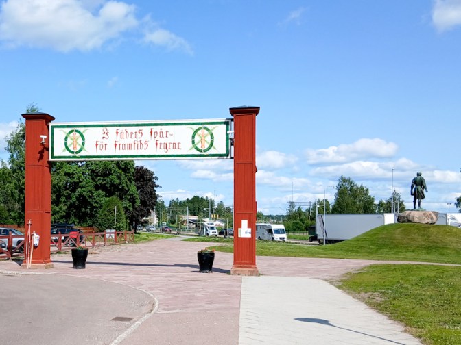
I spent the afternoon wandering around Mora centre.
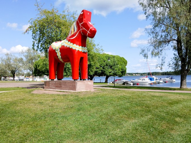
Inside the church a young woman was playing the piano to accompany her own singing – it was very beautiful and, like another couple of visitors, I sat in a pew to listen.
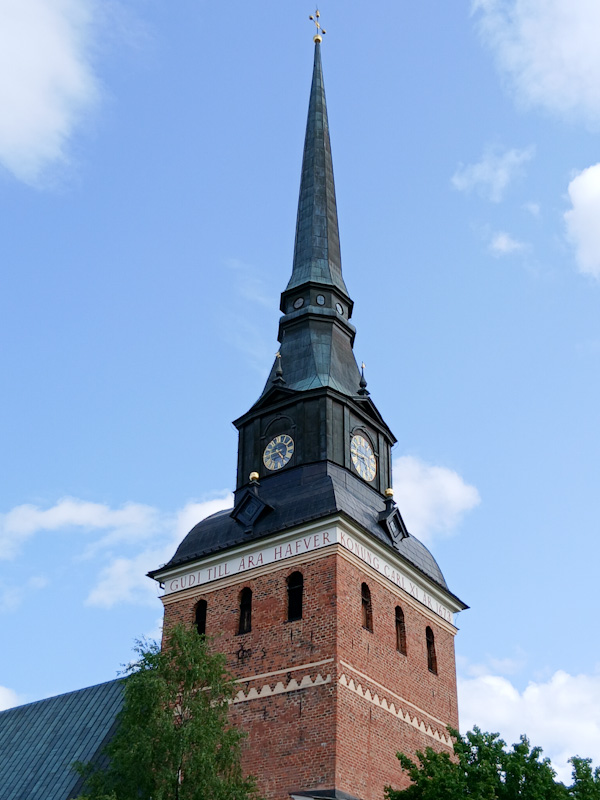
My rest day ended with a visit to the nearby pizzeria, run by Greek owners just as the restaurant in Mockfjärd had been.
Day 35 Thursday 19 June
I was keen to make a fairly prompt start and was glad that I had paid the additional fee for the apartment to be cleaned. The cleaning instructions were precise but there were a lot of them – it would have taken a long time and there was a fine payable for any evidence that the instructions weren’t followed in their entirety. Obviously the advantage is that the apartment is kept pristinely clean.
I left at 07.45. Retracing my steps to where the track “building works” started seemed much quicker than on the way. However I’m sure I took a different route through the “works” despite coming out at the same place as I had entered them on the way in.
There followed a lot of track walking but it paid to be careful; there were fixed tree roots across the path which were big trip hazards as I found to my cost. My foot caught and I landed on my left knee, fortunately without serious consequences.
I walked along the Vasaloppsleden path. The route is used for a major annual winter ski race as well as summer cycling and running competitions. The route for each mode of completion is slightly different but each covers a distance of 90km.
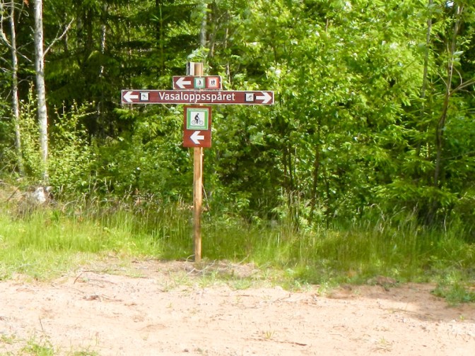
I passed some of the control points for the competition, where there are permanent buildings. At many of them, some of the facilities such as drinking water taps and toilets are kept open year round. The control points tend to be at places where there was traditionally summer pasture grazing.
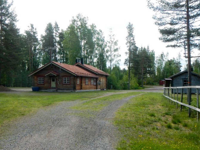
At Oxberg, I followed the signs for the walking route but ended up being directed on to what appeared to be a newly built road which I continued along for some distance. There were a few places where there was evidence of a very overgrown footpath close to the road. I suspect that following the “cycling route” from Oxberg would have been better.

I think I was quite lucky to discover the cabin site next to an old mill when I turned off the road at exactly the right place. It was deserted but I ended up camping as I couldn’t work out how to pay the fee to stay in the cabin. Swedish people can pay using Swish. Payment is on an honesty basis. Anyway it was a superb place to camp.
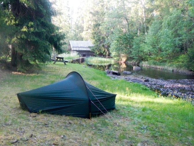
Day 36 Friday 20 June
Apart from swarms of midges, I had the cabin site to myself. I was up at 05.00 and on my way by 07.15am. The track I tried to follow initially didn’t go anywhere so I ended up back on the road for a mile before turning on to a combined walking and cycling track.
The next village – Eventsberg – seemed to be “closed”. Disappointingly the church was locked even though it’s on the pilgrimage trail as well as on the Vassaleden. The hotel appeared to be closed too.
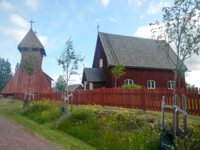
My route continued on tracks and paths passing lakes, forests and marshes. I passed cabins and wind shelters. There were even water taps as I was still on the Vassaleden competition route.
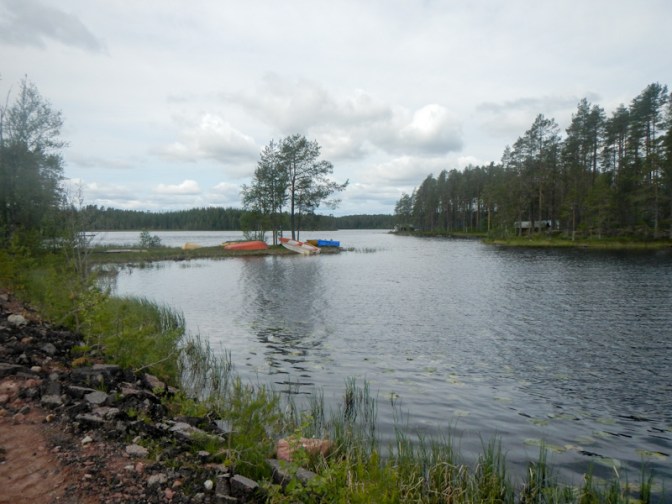
I was amazed to see a feather moving along – on closer inspection it was being carried by an ant! We say “light as a feather” but this looked like a huge load for a single ant to carry. Sadly I didn’t take a photo.
The paths provided easy walking and so I managed to walk quite a bit further than I had planned. The shelter that I had earmarked for an overnight stop didn’t have a sleeping platform but I managed to find a spot to put up my tent nearby. It was near an old disused mill. My only problem was the midges – again.
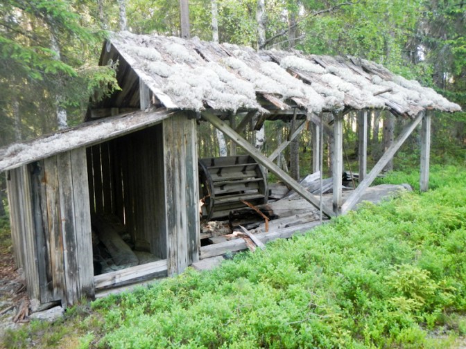
Day 37 Saturday 21 June
I realised that I should be able to reach Sälen for the night. This would put me a day and a half ahead of my original schedule. It was Midsummer day which is a major holiday in Sweden. However, with the help of Booking.com I was able to book a room in Fjällstugan 29, a Butiq hotel. for the night. Soon after I had made the booking, the owner kindly phoned my mobile (fortunately I hadn’t turned my phone off) and explained that I would be the only person staying; he would meet me when I arrived so that I could get in and he would leave breakfast in the fridge.
The route went over several marshes and swamps with long board walks.
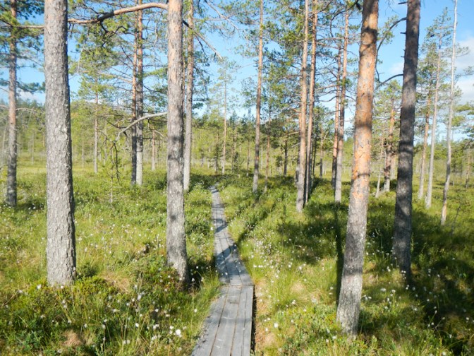
I passed several lakes.
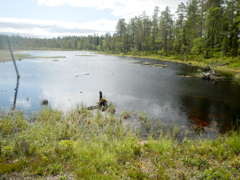
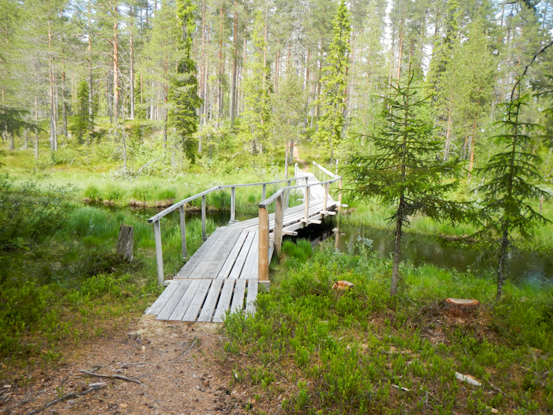
I reached the highest point on the Vassaleden route.
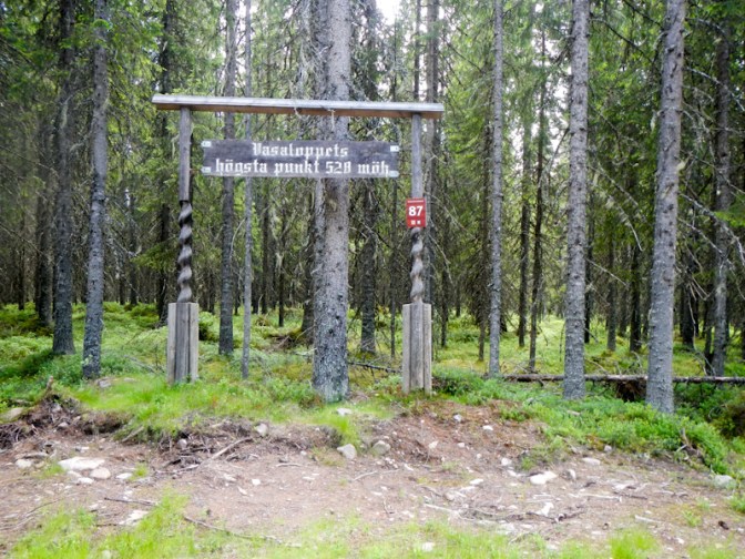
The route went downhill on a gravel track through the forest.
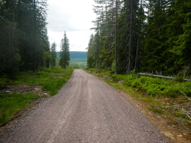
Before I arrived at the Vassaleden end-point I turned off on to what in winter is an illuminated ski trail but doubles as a footpath in summer. This track led me almost exactly to my booked accommodation. The helpful owner, no doubt leaving his midsummer festivities, met me to let me in and explain about the arrangements to lock the door of the hotel when I went out. Not only is it a hotel but as the owner explained, most of the contents are for sale, which is why it’s called a Butiq (shop) hotel.
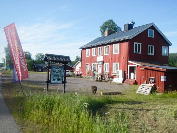
I was fortunate that the pizza restaurant and the ICA supermarket were both open despite the National Holiday.
Day 38 Sunday 22 June
I enjoyed a hearty breakfast which had been left in the fridge for me. By 08.15 I was on my way, carrying my heaviest load of the expedition to date. I knew that I had to allow for up to six days before I could buy any more food.
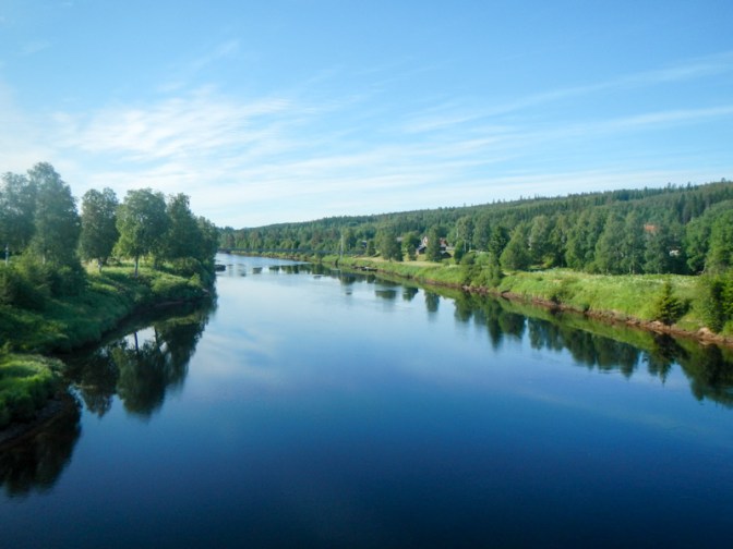
My route went over a bridge crossing the wide Västerdal River on a side road near the hotel and then on to a road which was only for pedestrians, cyclists and restricted access for motor vehicles. Hence it was very quiet. It was also a very steep and long up hill route.
Eventually I arrived at the top of the road at Lindvallen where a large ICA supermarket was open on the opposite side of the main road. I had been reluctant to trust to this on a Sunday which was the day following an important holiday. Despite my full load of food (carried all the way up the long and steep hill), I rewarded myself and bought a large piece of water melon, a soft drink and a fresh Danish pastry to eat there and then.
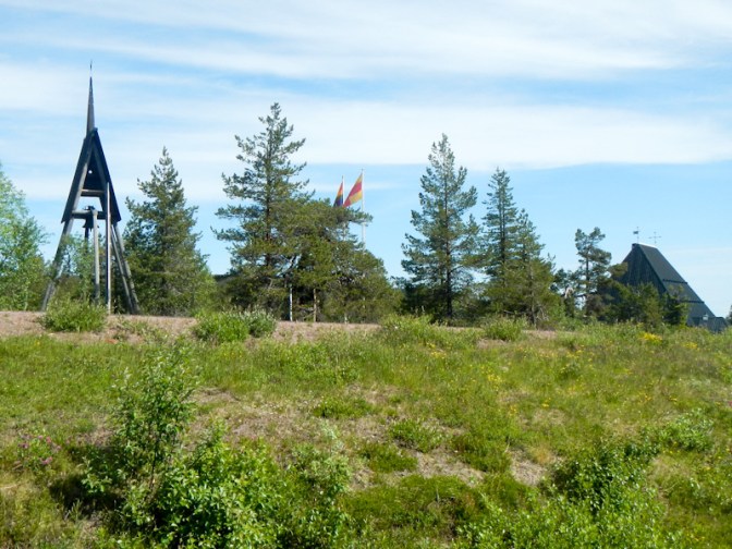
I managed to avoid the main road by following a minor road with pavement past all the hotels and huts in Lindvallen – clearly a place concentrating on the winter sports market. At the far end of the village, I spotted a gravel walking and cycle track which went past the mountain church and all the way to Högfjällshotell (where the ICA supermarket was closed).
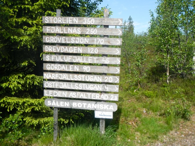
This was where the mountain part of my expedition really started. It was easy to find the route of the Södra Kungsleden towards Östfjällsstugan climbing upwards past a botanical garden. The path is even tarmacked! This provided me with an easy start into the mountainous region. Despite my load, I overtook many other people.

The views were excellent and a complete contrast to the forest and lake scenery that had characterised my walk for over five weeks.
I sat by the lake at Östfjällsstugan to eat my lunch.

After lunch, my path followed the shore of the lake before turning off to Källfjällsstugan. I was on less frequented paths again and, although stony, these were well marked and easy to follow. I enjoyed open views towards the Horrmunden Lake and towards distant ski resorts.
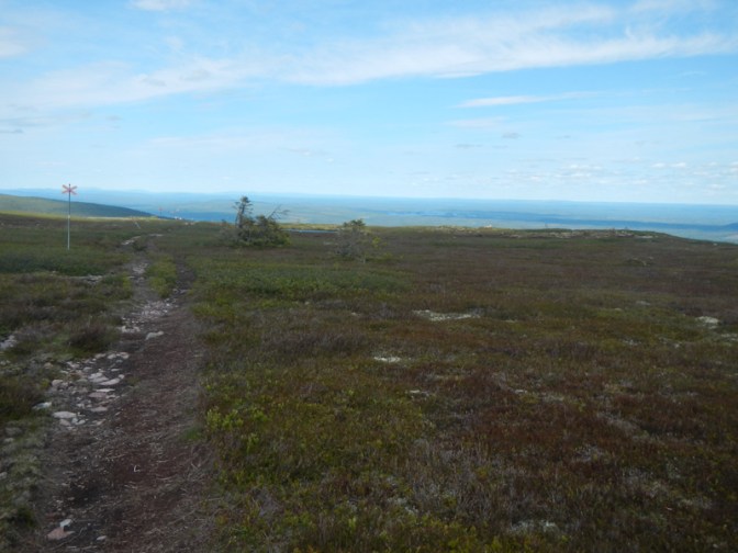
The tress were low level and stunted similar to those I remembered seeing on the tundra in Greenland.
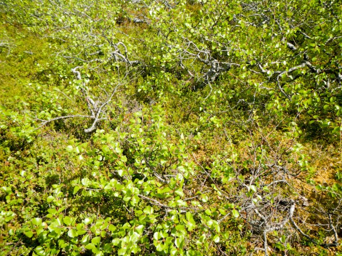
I arrived at the mountain hut, Källfjällsstugan. it contains an emergency phone to contact the police – emphasising the remote terrain in which I was walking. A notice explained that overnight stays aren’t allowed.
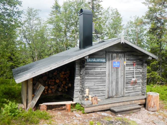
After a short break, I walked on towards Synddalen. The weather was becoming cloudy – rain was forecast for later in the day. I passed two ladies walking towards me with dogs – they seemed even more surprised to see anybody than I was.
Eventually I reached a wind shelter at Kläppenskjulet – again this had a notice explaining that it wasn’t intended to be used for overnight stays.
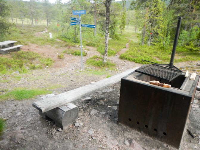
A sign pointed towards Närfjällsstugan which I thought was about 8km further on and I decided that it was early enough to continue. I knew that there was a hut there and so that would definitely be my final destination for the day.
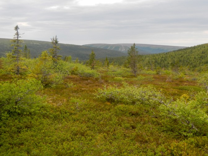
It might only have been another 8km, but I soon found that there was a lot of uphill over very stony ground making for slow walking. I saw a couple of tents pitched just off the path despite the fact that I had thought camping wasn’t permitted because it’s a nature reserve. A runner carrying a phone and not much else overtook me, which I was surprised about as I thought I was a long way from anywhere. However, soon after that I arrived at a path junction with signs stating it was 4km to a car park and 3km to Närfjällsstugan.
I was delighted to see this sign – less than two miles to go! However the route involved a few stream crossings and getting over a small boulder field – all being more difficult for me with my heavy rucksack. Fortunately I took the opportunity to fill my water bottles. A couple heading in the opposite direction to me explained that they had taken a break in the hut at Närfjällsstugan and there had been mattresses so they were sure that overnight sleeping there was acceptable. This was good news!
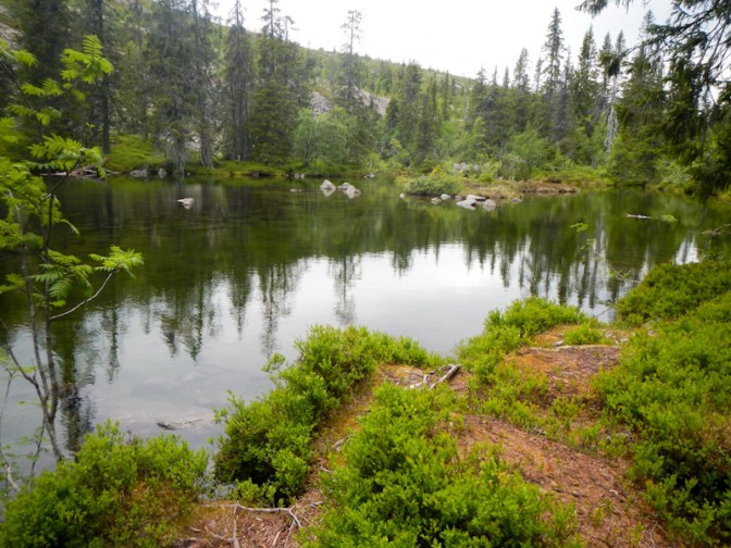
Unfortunately the forecast rain started and so I stopped to put on waterproofs. It seemed I had been walking for a long time after I had seen the sign given the relatively short distance. I was high enough for there to be a few minor traces of snow.
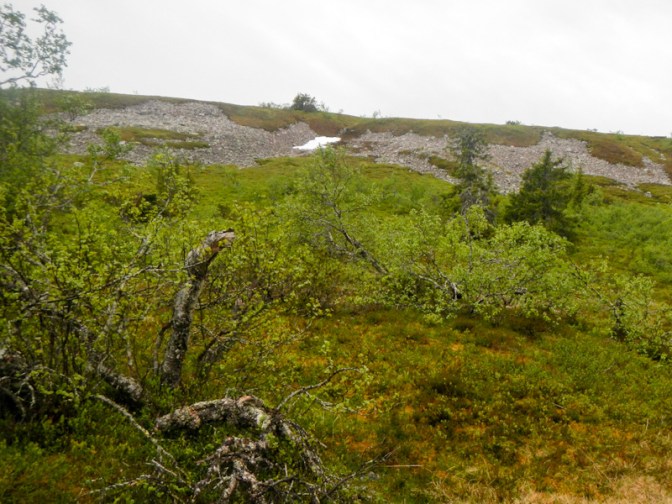
Eventually I saw a hut in the distance. By then it was pouring with rain. The path was uphill and each time I looked up I never seemed to be closer to the hut.
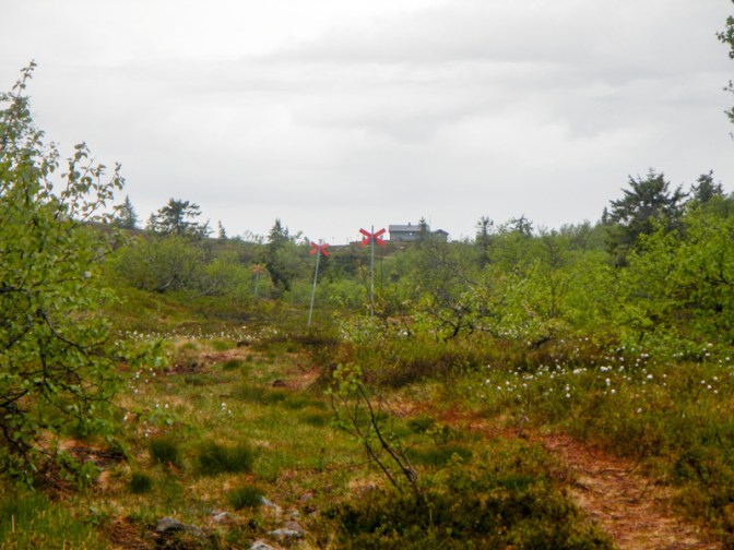
When I eventually arrived it was already after 7pm. There were mattresses in the hut but there was also a notice asking people not to use it as an overnight shelter except in emergency. However I decided that I would need to spend the night in the hut – it seemed to me that would be less potentially damaging than camping in the nature reserve area. As far as I could tell, there was no convenient water source (actually I discovered since then that other walkers have found a small spring nearby) but I had full bottles which I had collected from the streams I had crossed near the end of my walk. I did find the composting toilet and a marked “car park” – presumably for skidoos!
By 9.30pm, I was well settled. I had spread all my possessions around the hut, cooked and eaten a meal and written my diary notes. I didn’t light the fire as, apart from anything else, I wasn’t confident about using the provided axe to cleave wood to replace any that I used. I certainly didn’t want to be using the emergency phone in the hut to call for help following an axe injury!
I enjoyed a comfortable night, especially as I slept on one of the mattresses provided rather than on my leaky air mattress. Nobody arrived to tell me that I shouldn’t be there; in fact I didn’t see anyone at all.
Day 39 Monday 23 June
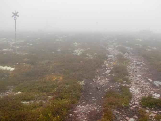
I woke to discover very foggy weather conditions. I had time and enough food to take an extra day but I was of course running short of water so I had to move from the cabin. I could see that the path was distinct and the visibility was good enough to see the next marker along the path so I set out to walk carefully to the next shelter 7-8km further on at Granfjällssätern and then review. This turned out to be easier than I had feared – in fact by the time I had reached the hut at Granfjällssätern the visibility had improved and there had been no rain.
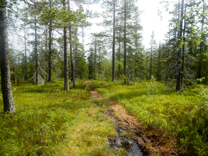
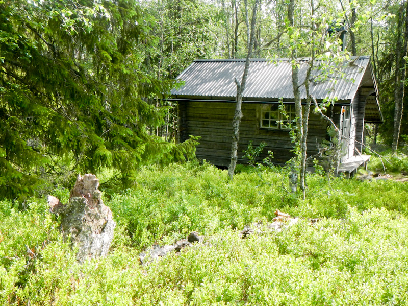
I had a short break before continuing. The weather was improving all the time and I saw some other people out walking as I was crossing a large area of swamp on a boardwalk.
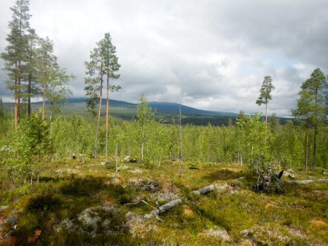
Fortunately there was a big foot bridge across the Görälven River near Lillbäcksstugan. It would have been far too deep and wide to ford! This river together with the Fuluälven river forms the Västerdal River that I had crossed the previous day as I set out from Sälen.
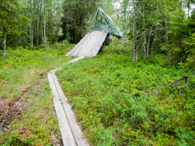
Soon after that I saw two more people with a husky dog.
There followed an uphill stretch on tarmac before turning on to a stony track which was also uphill and hard work. Subsequently I passed through a gorge like valley and eventually saw the welcome sight of the cabin at Lilldalsstugan. There was a German man there already who had just got a fire going. He was intending to spend the night there and we spent 30 minutes chatting. He was hiking north to south and hoping to get as far as Mora before heading back to Germany.
I decided to walk on to the next cabin at Björnholmssätern. This would have been relatively straightforward except that I took a wrong turning on an obvious track soon after a bridge crossing a tributary of the Tangån river. Clearly I wasn’t the first walker to do so: https://cesarandthewoods.blogspot.com/2016/08/cesars-guide-to-e1-trails-in-sweden.html
Unfortunately I hadn’t realised that I had made a navigational error so I compounded the error and took the wrong turning at the next fork; eventually when I looked at my compass after fifteen minutes or so I realised that I wasn’t going in the right direction and looked at the map closely, quickly recognising where I had gone wrong. I did have to retrace my steps but only as far as the fork where I could take the other track and get back on to my route. Sadly it had started raining as well. Unfortunately a family at one of the scattered dwellings near the road noticed me repassing their house and were convinced that I must be lost. Certainly it was kind of them to be concerned but, having recognised my mistake and how to correct it, I was keen to keep moving. Eventually I persuaded them that I did know where I was and where I was going!
I was soon crossing the border into the Fulufjället National Park and it was only about a kilometre further on an easy track to get to Bjornholmsstugan. This turned out to be an extremely pleasant cabin close to the Tangån river which eventually flows via other rivers into the Västerdal River which I had already crossed at Sälen . The only other occupant of the cabin was Tina, a pharmacist from Berlin who works for an aid and development charity. It was an interesting evening for me as she was aged fifteen at the time of Die Wende, until which time she had been living and at school in East Berlin. She was able to explain to me the personal significance of this event from her point of view as well as the perspective of older generations such as her parents. As she was walking from north to south, she also gave me some helpful information about my onward route, particularly the possibility of spending time at Rörsjöstugorna and visiting the Njupeskär waterfall – at 70m freefall, it is the highest free fall of water in Sweden.
Day 40 Tuesday 24 June
I chatted with Tina over breakfast so it was 08.15am by the time I left the cabin. I was heading initially for the cabin at Tangådalsstugan. There turned out to be two waymarked routes. The slightly longer one was what I had marked on my map but I decided to follow the shorter trail which goes over the barren Arctic tundra like plateau.
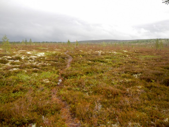
It was well waymarked but there was a lot of ascent and the route was exposed with considerable wind chill. I was wearing gaiters as Tina had warned me about boggy ground. I had taken my waterproofs off as it had stopped raining but I ended up putting them on again just to protect me from the cold wind. Eventually I was glad to be walking downhill as it meant that I was getting closer to the cabin. However the walking involved traversing some boulder fields.
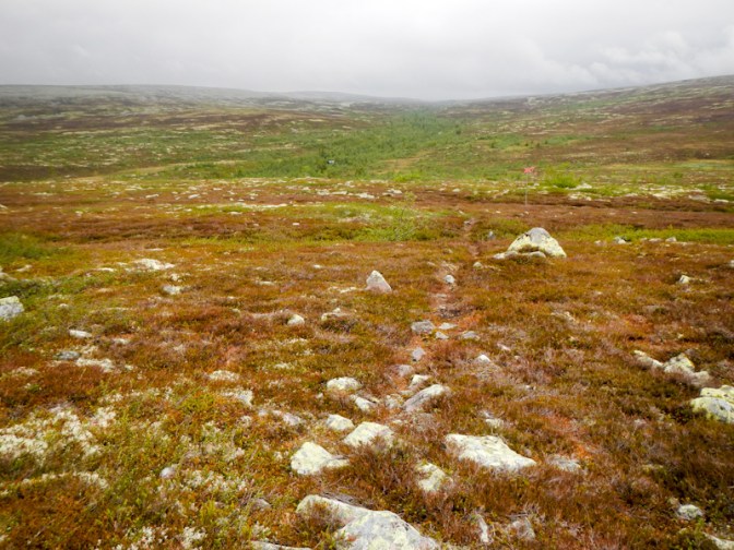
It was 12.30pm by the time I reached Tangådalsstugan and I felt exhausted despite having only walked about 11km in over four hours. I took an extended lunch and rest break in the cabin for an hour then started on the path up the valley to Tangsjöstugan which was a further 11km.
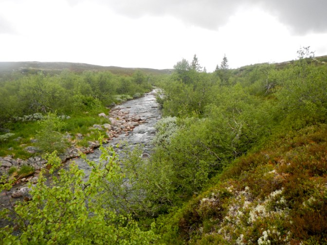
The path was signposted initially and my mapping shows it as a marked summer trail. However I didn’t see any orange markings! The path seemed to be fairly distinct but stony – and then it petered out to almost nothing. This was the point where I saw a group of three people on the other side of the river, one of them with a VERY huge rucksack. They weren’t moving at all and one was apparently waving a brightly coloured towel. I called across and discovered that they weren’t trying to attract attention – they had walked the same way as me then crossed the river, so were drying their feet. The point where they had crossed looked both wide and deep.
I studied my map and realised that it was indeed necessary to cross the river but that the marked route crossing point was a little further north. I think I went a bit further north than that but I found a point where the river seemed to have a stony bed (I didn’t want to be sucked into bottomless mud) and my trekking poles showed me it was no more than knee deep. This is the upper part of the Tangån river so eventually the water from here flows into the Västerdal River.
Fortunately I decided this wasn’t a crossing to be undertaken lightly and I took the precautions of removing my socks, boot insoles and trousers and stowing them in my rucksack. I wore my waterproof over trousers, gaiters and boots and took the precaution of keeping my rucksack belt unfastened. It actually turned out to be a safe crossing and I didn’t have any concerns while doing it that I would be swept off my feet.
Once at the other side, I managed to find my towel to dry my feet while my boots were upside down draining water. The crossing took a long time with all this undressing and redressing.
I hoped that the cabin would have sufficient space for the other three and me as I realised that there could be others who would have arrived already. The route continued to be stony in parts and there were some difficult boulder fields. There weren’t any orange waymarks. I was sure that the three walkers I had seen would have arrived at the cabin well before me but then to my surprise I caught up with them just before reaching the cabin.
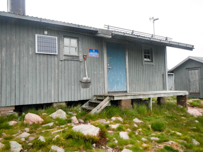
There wasn’t anyone else there and there was plenty of room to share the cabin – a central living area and four sleeping areas each with a bunk. I discovered why they were slower than me : one of the men was in the army and had decided to carry a pack weighing a phenomenal 40kg. His girlfriend, also walking, was a nurse and one other man (the owner of the towel) made up the group. The two men were very happy to light the fire and cleave more wood ready for the next occupants, so it was beautifully warm and we could dry wet clothing. The three of them had actually spent their entire day walking from where I had stopped for lunch.

The cabin also boasted great views over the lakes and even had a skidoo “car park”.
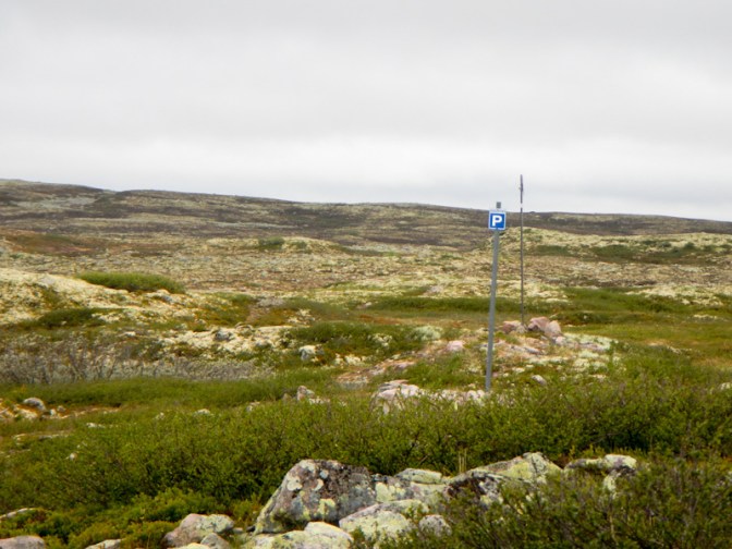
Day 41 Wednesday 25 June
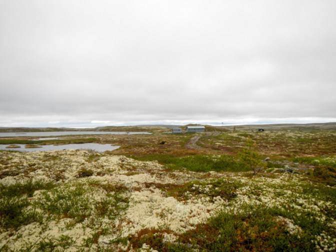
I was up before my alarm and ready to leave by 07.45am – the others were still cocooned in their beds. I soon added an additional layer of down jacket under my windproof top as it was cold.
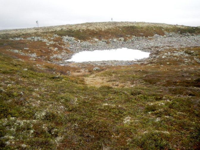
The path was stony in parts but fairly flat so I made reasonable progress towards Rörsjöstugorna, making a single stop en route at the shelter at Särnmansstugan for about fifteen minutes. I ate a snack and enjoyed some respite from the cold wind.
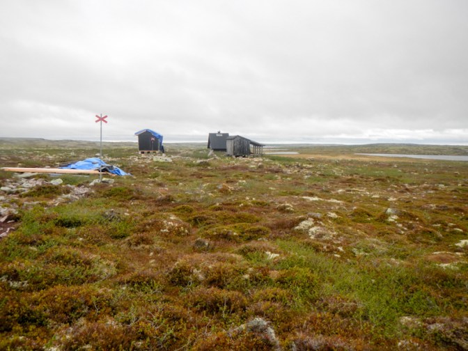
By 11am I had already covered the 12km to Rörsjöstugorna. I was a day and a half ahead of my schedule and had decided to follow Tina’s advice and stay there for a night.
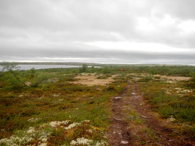
The caretaker for the site was happy for me to stay in the shared cabin overnight and also allowed me to leave most of the contents of my rucksack in a safe place so I could walk to the waterfall and back with a lighter load. I hadn’t realised that the caretaker would have a supply of various foodstuffs for sale including freeze dried camping meals; as a result I had plenty of food and didn’t buy anything. I made my payment for the overnight cabin and asked about paying the small fee due for my stays at the cabins Bjornholmsstugan and Tangsjöstugan – this had to be made at the visitor centre Naturum which is close to the waterfall viewing area.
The descent to the waterfall by the route I had chosen (to make a circular walk from Rörsjöstugorna) was steep and rocky. It was worth it for the tremendous views of Njupeskär waterfall. It is the biggest freefall of water in Sweden (70m), although at 93m total height it isn’t the longest waterfall in Sweden. This water flows eventually into the Västerdal River but via the Fuluälven river rather than the Görälven River and its tributaries that I had been following for a couple of days.
The man at the cash desk at the visitor centre seemed pleased and slightly surprised that I had visited to make my payment for the overnight stays. He didn’t need to know which huts I had stayed in or which nights! He also told me that even Swedish people struggle to pay as Swish only works when there’s a good phone data signal. I’m sure that there’s a large amount of default on payments given how difficult it is to make the contributions.
There were even litter bins so I was able to empty my rubbish bag.
As I was there during opening times, I couldn’t resist buying a proper meal at the café – reindeer burger with salad and chips, before returning to Rörsjöstugorna using an easier path than the one that I had chosen for the descent.

I spotted the three people with whom I had shared the cabin the previous night. They had spent the whole day walking to Rörsjöstugorna and pitching their tents, planning to go and look at the waterfall the next day. It was just after 4pm when I moved my things into the shared cabin, where there were already three men sleeping in the larger of the two sleeping areas. I occupied the second smaller sleeping area which had room for two people on bunks. A Swedish lady with her young son and dog arrived to share the cabin. The lady and her son slept together on the top bunk and the dog occupied an area on the floor at the foot of the bunks.
Day 42 Thursday 26 June
Both the child and dog were quiet all night. I knew I had a long day ahead of me so was up at 6am and managed to eat breakfast and pack my rucksack while everybody else was asleep. The dog woke at 07.45 just as I was about to leave but fortunately the lady woke too so I just explained that the dog had been asleep until then and left.

I enjoyed a pleasant walk to Harrsjöstugan – just a few swamps and stony bits. On the way I saw two hikers carrying huge packs walking the opposite way. I had my first break at the open cabin. A group based at the lockable cabin appeared to be about to go fishing on the lake.
I doubled back the short distance to reach the path for Gördalen. Many swamps, a lot of uphill walking and several boulder fields made for slow walking, but it was a wonderful scenic mountain trek.
A faster downhill stretch through the forest saw me leaving the Fulufjället National Park and down to Gördalen where the river is also within the immense watershed of the Västerdal River.
At Gördalen I turned south into the village as I had information that there was a café which could be open. Indeed it was and I enjoyed a special lunch deal of chicken breast with chips together with an included soft drink and coffee.
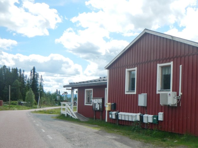
I missed a turn on the path after I left Gördalen and eventually ended up on pathless terrain in the middle of a wooded area. When I realised that I was off the path, rather than retreating back downhill through the woods, I turned my phone on to look at my position using the Garmin Explore app. I realised that I could traverse the hill through the woods for around 100m to reach the path. In fact this traverse proved to be time consuming so perhaps it would have been quicker just to have turned back. Eventually I was back on a recognisable path but I kept my phone on (just in case the path “disappeared” again) until I reached the wind shelter at Gröningshallan, where I had a short break.
It was a stunning walk to Drevfjällsstugan past several lakes. Unfortunately I don’t have any photos and not sure why I didn’t take any even though I was rather late after the stop for lunch and the missed path.
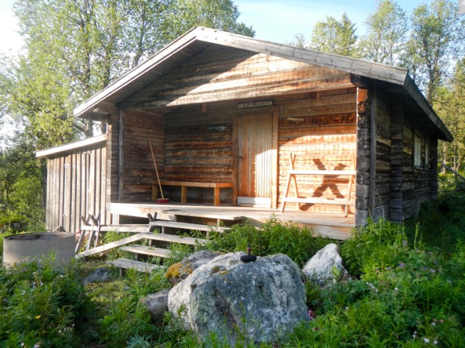
Eventually I arrived at the deserted cabin around 8.30pm. As had been the case for the cabins in the mountain section before I had reached Fulufjället National Park, there was a notice to say that the cabin wasn’t for overnight stays. However there was definitely a sleeping bench plus an adjacent composting toilet and, as I was within the Drevfjällen Nature Reserve area, I wasn’t sure that I was permitted to pitch a tent. At that time in the evening, having started walking more than twelve hours earlier, I decided to stay in the cabin anyway. By the time I had eaten a meal, written my diary, and prepared my sleeping arrangements it was almost 11pm.
Day 43 Friday 27 June
As I expected, I had no overnight visitors so I certainly wasn’t preventing anyone else from using the cabin. It rained overnight and was still raining in the morning. I left the cabin at 8am, leaving no trace.
It was slow going, following a very bendy path through mixed forest and crossing marshes with boardwalks. I reached the summer pasture at Id-Persätern around 10.15am, where there is a rest cabin (also not intended for overnight stays).
I struggled to find the path from the summer pasture but eventually discovered the orange markers, although the path continued to be poorly defined at times. When I saw the pasture at Fågelåsen, I thought that I had reached the wind shelter at Trollkäringsboden. I sat on the edge of a private wind shelter to eat my lunch before realising my error.
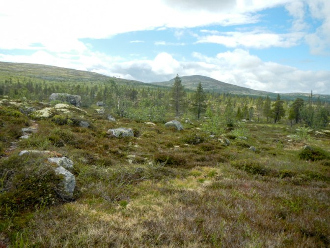
While I was eating lunch, the sun came out so I enjoyed a pleasant onward walk. Soon I passed the shelter at Trollkäringsboden, which should have been my lunch stop. I met two walkers from Germany not far from the cabin at Röskåsen. They had spent the night at what they described as a very basic but comfortable and enclosed shelter at Busjön – which was where I was heading. However unlike me they hadn’t started walking until lunchtime once the rain had stopped. There were wide open views towards the mountains on the nearby Sweden / Norway border before I descended through the forest towards Busjön.
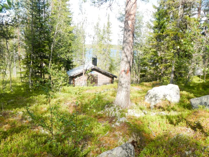
The shelter was indeed basic with a gravel floor but there was a bench with sufficient space for me to lay out my sleeping mat and sleeping bag. At this cabin, there wasn’t any notice to say that overnight stays weren’t permitted. I was adjacent to my route and close to the lake.
Day 44 Saturday 28 June
I enjoyed a restful night at Busjön departing around 8am, at which time there was light but intermittent rain. The route towards Flötningen was mixed: rocky in places but marshy in others, forested in part but also with some more open views, and past scenic lakes.
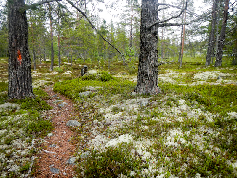
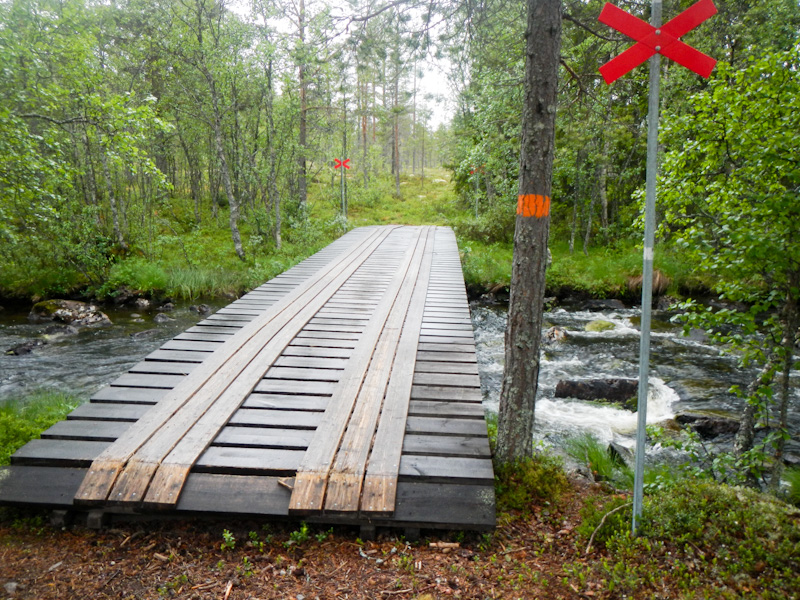
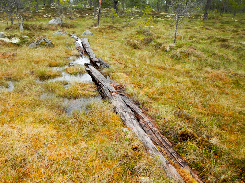
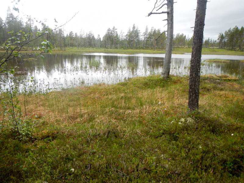
Nearer to Flötningen the path followed a river bank where, as I found to my cost, there were some very slippery sections. I slipped and fell in a marshy area with some short-lived pain afterwards in my right chest wall and leg. Fortunately the marsh provided a soft landing and I still had my waterproofs on so my main clothes didn’t get too muddy.
About 2.5km before I reached Flötningen, I was on to wide forest tracks and minor gravel and clay roads. I reached the fairly quiet main road, where there was a walk of almost half a mile to the small supermarket for my first restock since day 37/38 at Sälen. As I had eaten two café meals (which I had not been able to assume would be possible), I still had food in my rucksack including two main dinners. This turned out to be just as well because lightweight food available at the shop was limited and expensive. The other customers appeared to be Norwegians buying boxes and crates of drinks prior to driving off towards the border.
My purchases included a pre-prepared sandwich and an ice cream that I ate sitting on one of the seats next to the supermarket car park. I also emptied out the contents of my rubbish bag into the litter bin.
While eating lunch, I studied the map and realised that I didn’t need to retrace my steps up the main road in order to reach the path. I set off again around 1.30pm and made good progress even though the route was uphill. I followed a small road, a defined path through a wood and then an unsurfaced road. I reached Skärvagan shelter site, where I had planned to spend the night, at around 3pm. Realising that the following day was planned as a longer walk, I decided to continue as I could see a shelter close to a river about 10km further on at Guttadalskojan.
The route soon turned off the unsealed road and uphill over marshy land before emerging on to a track. I think I saw a reindeer but I can’t be certain as it was trotting away from me as soon as I spotted it. The ascent on the track was gradual past streams and through forest with mountain views ahead.
When I arrived at the Guttadalskojan cabin, I discovered that once more I had planned to spend the night in a cabin which had mattresses but also a notice advising that overnight stays weren’t permitted. I was a bit concerned to see a car parked next to the cabin – fortunately for me it wasn’t inspectors checking that no-one was staying there but was a group of three anglers from Halmstadt who had booked and paid to rent the other end of the cabin, which had its own separate external locked entrance, for an exclusive group overnight stay. They were as confused as me about the rules for the open cabin and had assumed that it was a place where hikers were allowed to stay overnight. They certainly weren’t bothered about me being there.
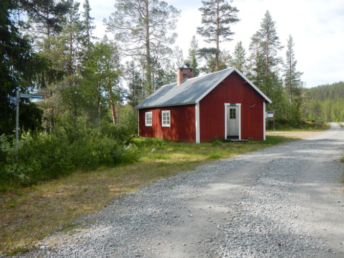
I had a phone and data signal so I decided to try to book a room at the Grövelsjön Fjällstation for two nights. This was the planned end-point for my walk and I would be arriving a day before my original schedule (hence the two nights). I also bought my on-line bus ticket from Grövelsjön to Mora. I had a further day in hand as my original plans had allowed for a spare day so I booked two nights at a hotel in Mora. This would leave me with a day to travel by train from Mora to Arlanda (Stockholm) airport for my pre-booked overnight stay before my flight home on 4 July. Sadly my long expedition was galloping along to its final stages.
Day 45 Sunday 29 June
In the end I didn’t leave the cabin until 09.15am. The anglers were still apparently in their cabin; the only signs of their presence apart from the car were the remains of barbecued fish on a picnic table (they had told me that their catch had been good) and multiple beer cans.
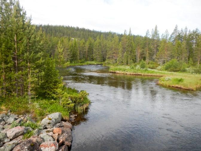
The route continued easily at first along the track which became gradually more grassy before narrowing. Eventually it was a footpath over a mix of areas of marsh, small stream crossings and drier forested terrain similar to what I had been experiencing recently.
I stopped for a break at the next wind shelter (Valan) where I noticed two ants working together to carry a piece of forest floor debris which was evidently too heavy and bulky for one to manage alone. They are indeed extremely hard working creatures and their organisation and co-operation in building huge ant hills is astounding.
I think I saw the only moose seen on the entire expedition but it was running away as soon as I saw it.
The weather was initially sunny and dry apart from a few drops of light rain. However as I reached the summer pasture at Valdalsbygget at around 12.30, it started to pour with rain. The farmer and his wife, who were in the enclosed garden near the main house, pointed out the rest cabin and I rushed over to get into shelter and avoid the immediate need to put on waterproofs.
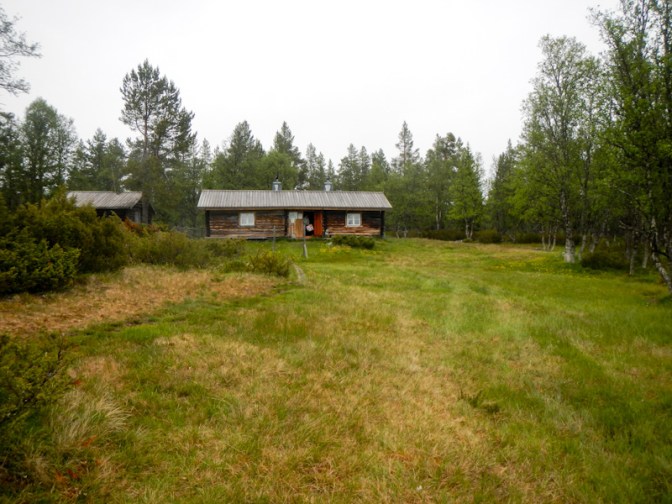
A Swedish family was sitting around a picnic table in the sheltered area under the eaves, eating and celebrating the eighty-third birthday of the oldest member of the family. I went inside the cabin to eat my relatively meagre fare and then donned full waterproofs before venturing outside again.
I discovered that the farm is leased to a host family over the summer and they carry out traditional mountain farming as well as overseeing the rest cabin and maintaining the buildings and land. The farmer and his wife who I had seen as I arrived had only been there for two days for their two-month stay having travelled with their sheep from Upsala where they normally live. It was their first year trying this and they were pleased that the sheep had settled quickly after the journey. The holding was used as a command and control centre for the Norwegian-Swedish resistance movement during World War II. It was interesting to hear but meant that my lunch break was somewhat extended. The farmer’s wife suggested a couple of alternative routes to walk on to Grövelsjön but I decided to stick to my planned route especially when she remembered that one of the suggested options required me to have a boat to cross the river!
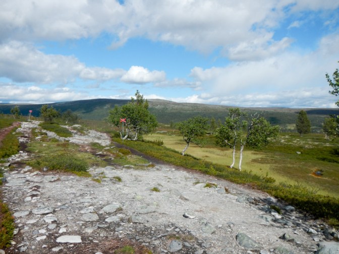
I made steady progress. Mountain views opened up before me. There were increasing numbers of people walking on the paths. The rain had stopped but it was windy. There was a wonderful view of the lake ahead of me.
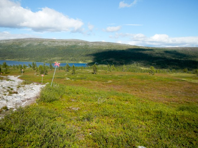
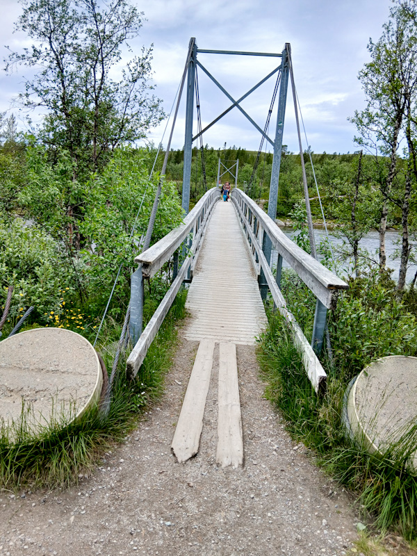
I arrived at Sjöstugan at the south end of the lake from where it should have been just a one kilometre walk (albeit uphill) to the Fjällstation where I was booked to stay. Rather than walk up the road, I opted for the footpath which was signed at that point. Unfortunately I must have missed a turning and the easy kilometre turned into a ninety minute trek culminating in following markers across the marshy ground of a skidoo trail to reach the back entrance. Anyway I arrived safely in the end and checked in. The shop at reception was open until 7pm so I even managed to buy a can of beer so I could celebrate my arrival at the end of my planned walk after eating the huge dinner that I prepared for myself in the shared kitchen.
Day 46 Monday 30 June
Although it was a windy day (calmer later), the weather forecast was otherwise good. After an excellent and suitably large buffet breakfast, I spoke to the mountain route advisers stationed by the reception desk to ask about climbing Storvätteshågna, Svealand’s highest mountain at 1204 meters above sea level and an eighteen kilometre round walk from the Fjällstation. They confirmed my research that there was a good path to the summit, but suggested that a later start time would give me better weather. I also managed to give them my completely full spare cooking gas canister and my “emergency” matches with the intention that they pass them on to a hiker who could use them. I certainly couldn’t take them home on a plane!
As I was only carrying what I needed for the day, I made extremely fast progress and easily overtook most of the other walkers. This included a social worker from the east part of Germany who I walked with for a while until she wanted to walk more slowly. We chatted and she told me about her mother who is a priest in the Lutheran Church. I was involved with a Church of England link with a Lutheran Church near Magdeburg in the late 1990s and visited the area a few times so this was of great interest to me.
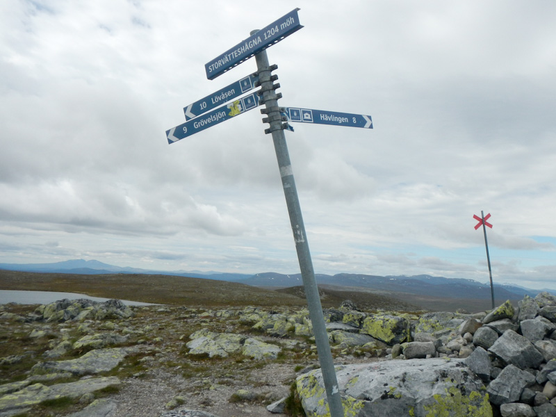
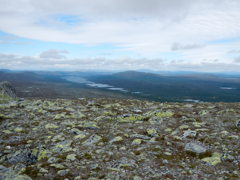
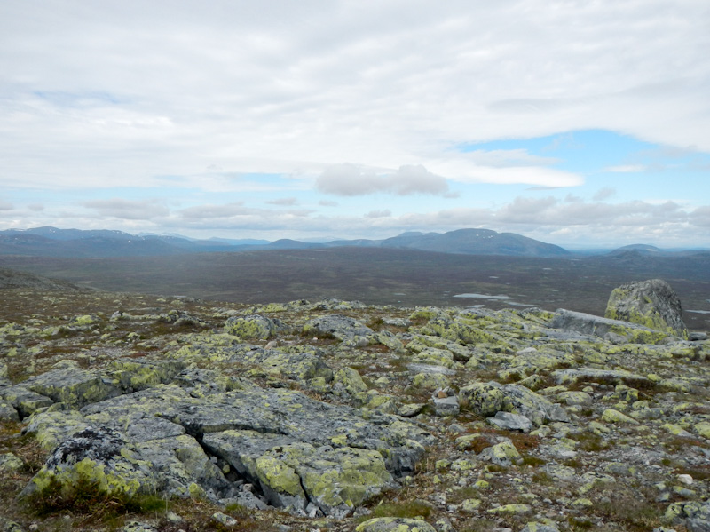
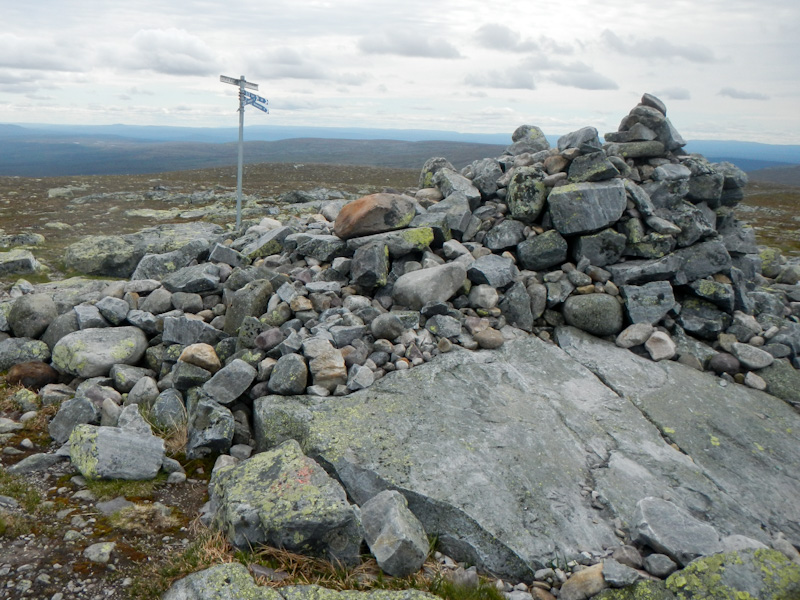
The mountain itself was stunning with tremendous views on ascent and even better on descent descent as well as at the summit. I reached the top in only two and a half hours. It was a superb final walking day and provided a memorable end to my long expedition.
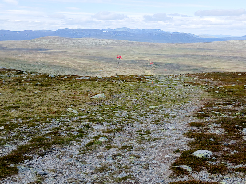
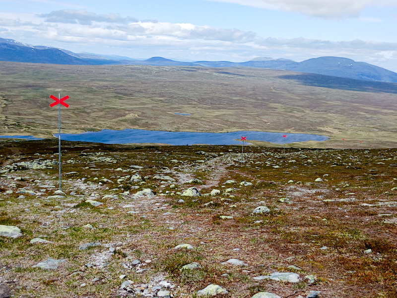
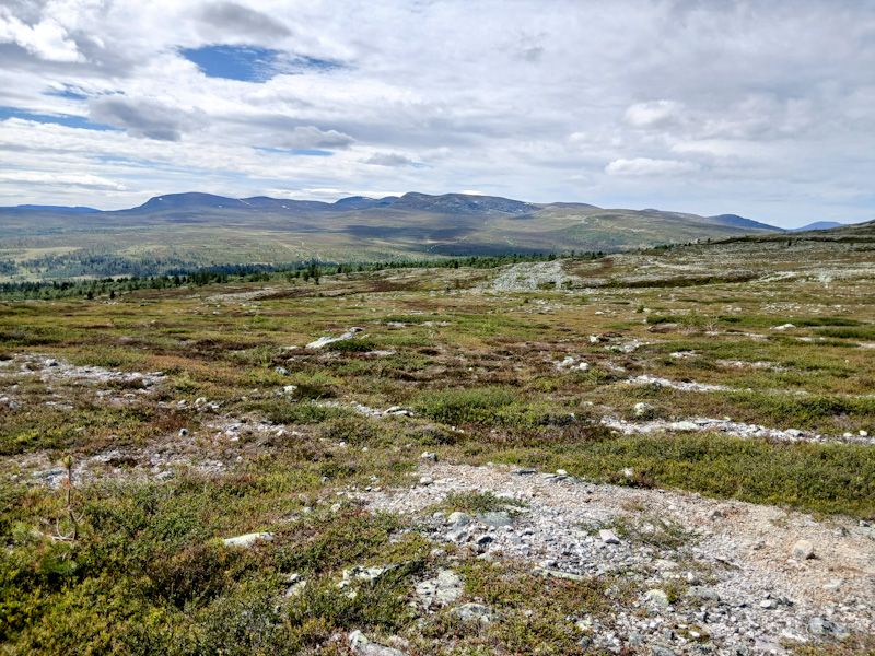
Day 47 Tuesday 1 July
As I wasn’t keen on catching the bus at 06.45am (apart from anything else, I would have missed the breakfast I had already paid for), the only bus I could get from Grövelsjön to Mora was at 14.30. I had to check out of my room and then I walked down to Sjöstugan to sit by the lake and use the small amount of fuel left in my used gas canister to brew a coffee. The road route wasn’t busy with traffic and was of course much quicker than the path with wrong turnings that I had walked two days earlier!
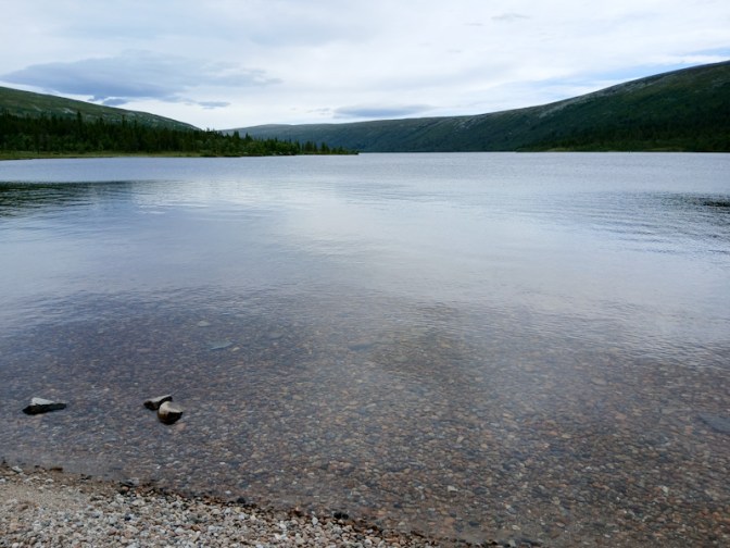
I definitely didn’t want to miss the sole remaining bus that day so I was back at the bus stop next to the Fjällstation far too early – it had started to rain as well. A father and 18-year old daughter from Finland were also waiting so the time passed quickly in conversation.
In this part of Sweden, bus journeys pass through fare zones. Even though my journey to Mora took over three hours for 190km, it was within two zones and so cost only SKr57 (just over £4!). It was a lovely journey on quiet roads with views of mountains, forest and rivers. I was lucky enough to notice a tall walking bird through the window which I identified as a common crane. We all had to change bus at the village of Idre but this was managed extremely efficiently. All the big luggage including my rucksack was stowed in the boot of the coach style buses. There were only about ten people on board even when the bus was at its busiest.
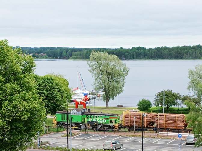
I was delighted to discover that my room at the Mora Hotell was large and even had a lake view.
Day 48 Wednesday 2 July
The hotel breakfast was excellent although the dining room was extremely busy. I sat with a Dutch couple who were part of a large international group driving vintage cars from Copenhagen to Kirkennes and then travelling to Oslo but with their cars (and themselves) on the Hurtigruten coastal boat each night between Kirkennes and Bergen. It certainly sounded like an amazing adventure https://bespokerallies.com/white-nights-2025/#1669185775363-86b217f2-dd66.
I caught a bus to Nusnäs to visit the two factories where the traditional Dala horses are made. It was fascinating to watch the highly skilled traditional craftspeople at work. Each horse is unique having been hand carved from a single piece of wood and hand painted. The earliest models were made in the fifteenth century by lumberjacks and charcoal burners, working and living in the forests away from home. Horses were a popular choice to carve as they pulled logs in the forest in winter, worked in the fields in summer and provided a means of transport.
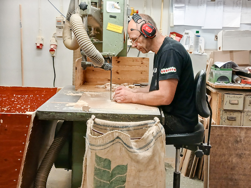


I also saw the old church boat displayed under the shelter of a long shed and used in the past to transport up to eighty villagers at a time to church.
I caught the bus back to Mora in time to eat a late lunch at the popular Zorn café in the grounds of what was the home of Andres Zorn one of Sweden’s foremost artists. I spent the rather rainy afternoon looking round the art gallery displaying many oil paintings, water colours, sculptures and etchings. During a dry interlude, I walked round the garden and peered into the artist’s studio. My ticket included admission to Zorn’s old farm, a kilometre away, now also the site of a collection of historic timber houses, but it was too late to go there by the time I had seen everything in the art gallery.

Day 49 Thursday 3 July
The hotel was less full than the previous night so there was much more space at breakfast and I even had a table to myself next to the window. Sadly it was pouring with rain – there was even a weather warning for floods. Hence I decided that it wasn’t sensible to use my ticket for the open-air museum even though it was still valid.
I checked out from the hotel almost as late as possible as my booked train to Stockholm wasn’t until just after 12.30. There were plenty of seats under cover at the combined bus and railway station, which was just as well because quite a few people were waiting for the same train as me, the first direct train of the day from Mora to Stockholm.
The train was a bit late but there wasn’t any problem with flooding. Transfer from that train to the airport train from central Stockholm was straightforward although the ticket was ridiculously expensive compared to all other travel by public transport in Sweden.
Somehow I had managed to book a room for a bargain price at the normally expensive Radisson Blu Arlandia Hotel. My Booking.com genius level 3 status had even upgraded this to a superior room so I enjoyed a luxurious final night in Sweden. I was even persuaded to join Radisson Rewards (it’s free) to enjoy a discount off my dinner.
Day 50 Friday 4 July
The flight and train journey home after seven weeks away – fifty days is the limit on my multi-trip travel insurance.
I hope to return to Grövelsjön in the summer of 2026 to continue my journey towards Nordkapp on the E1 walking route.

👏👏👏👏👏Fantastic walk. And the write up must have taken quite some time, as I’ve taken three sittings to read it all. But well worth reading every word
LikeLiked by 1 person
Thank you for taking the time to read all of it. I am impressed. Sweden is an amazing place to visit. People are so friendly and helpful. The scenery is magnificent. Almost everybody speaks English, which is very useful although surprisingly I met very few English people while I was there. I definitely recommend it as a walking destination.
LikeLike