11 April 2024
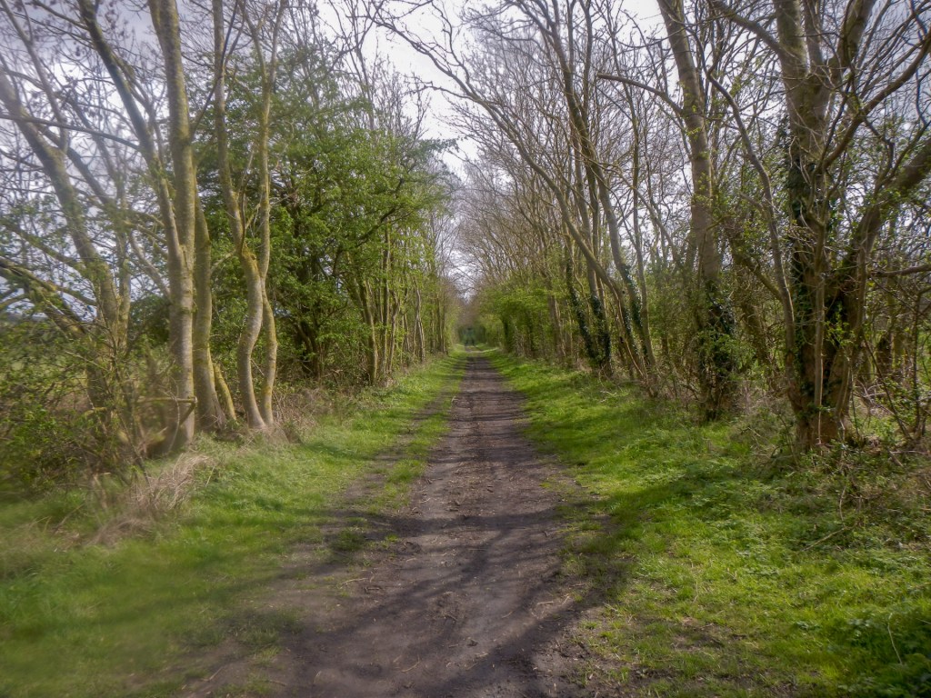
This expedition began from a large lay-by at the side of the busy A607 in Harlaxton, just south west of Grantham. My husband decided to join me as it was only eleven miles to walk. We were on a footpath straight away – the rather muddy Peashill Lane which led us to the banks of the Grantham Canal. We crossed a canal bridge and descended to the towpath.
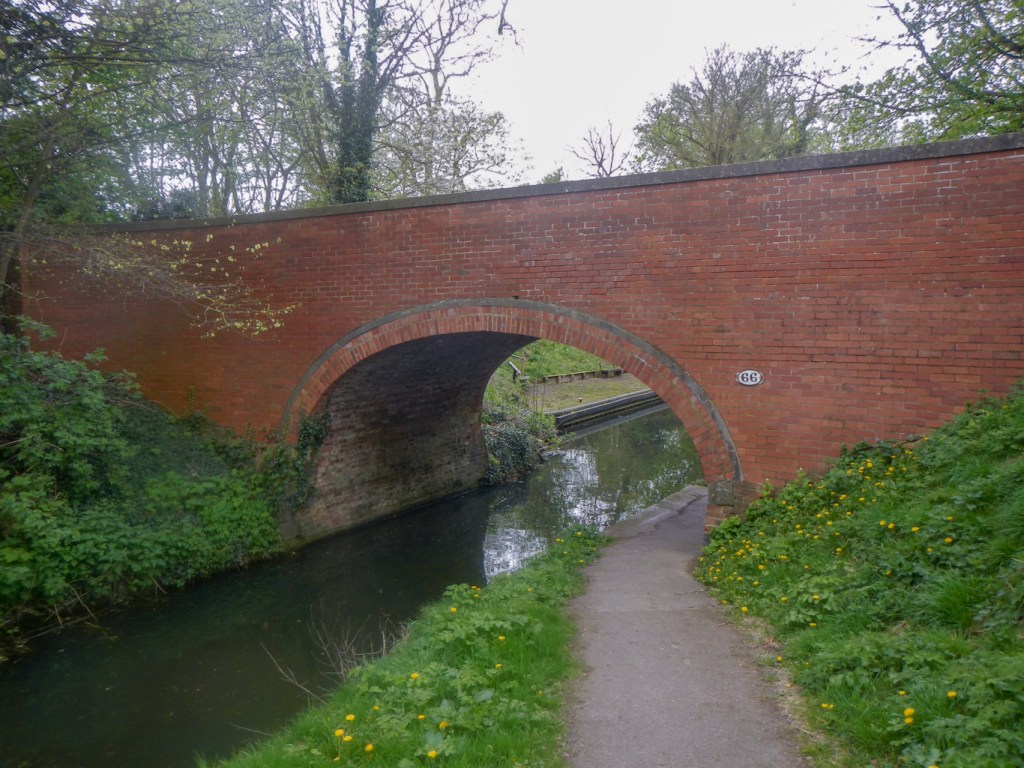
The Grantham Canal is thirty three miles long and completed in 1797. It was constructed in order to supply the district with coal, coke, lime, groceries and building materials and to facilitate distribution of agricultural produce from the area.
However the heyday of canals was short and even by 1830 the railways were taking over. In 1845, the canal owners agreed to sell and the Great Northern Railway took possession in 1861. The canal finally closed in 1936, ten years after the last commercial boat was seen. Since the 1970s the Grantham Canal Society has been working to restore parts of it.
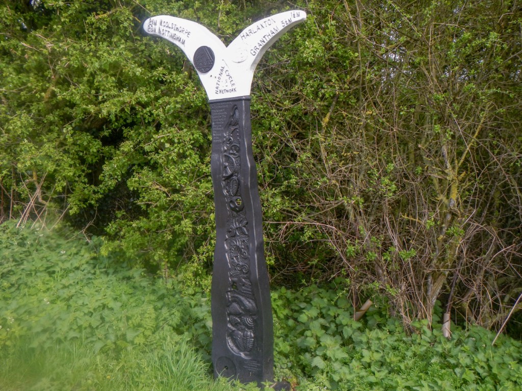
We walked along the canal towpath for about three miles. It seems to be popular both as a footpath and a cycleway (part of a National Cycle Route).
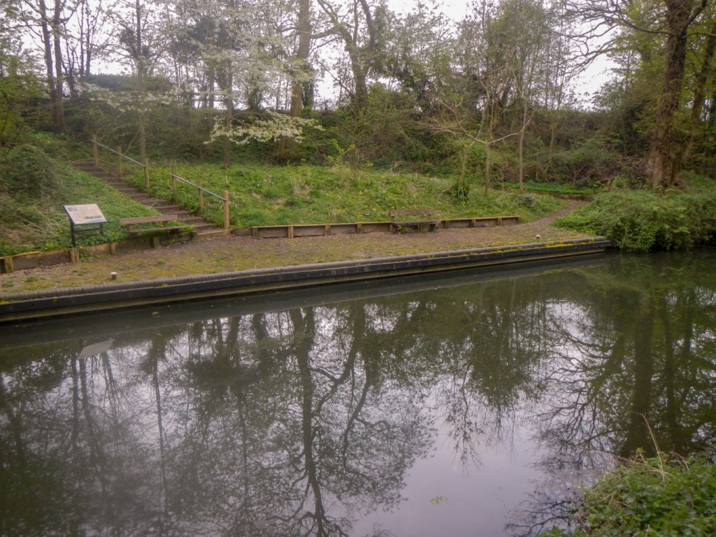
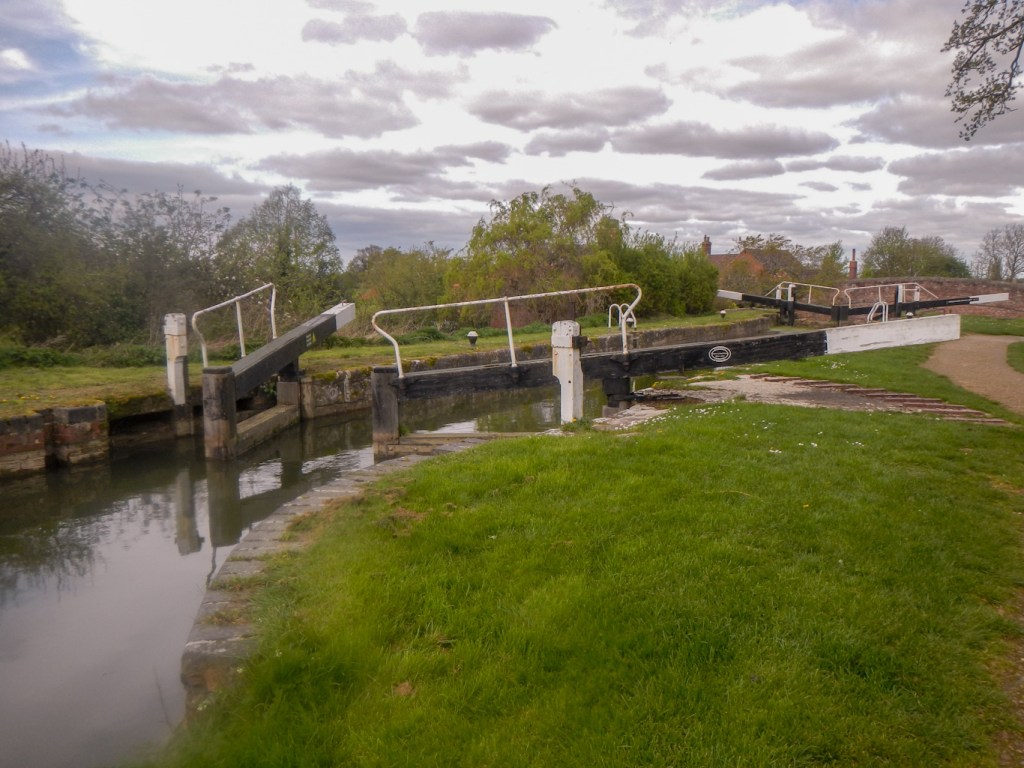
We reached Woolsthorpe Locks and bridge, beyond which is an old canal wharf.
Here to our right we could see the remains of a railway embankment and bridge, which carried an ironstone railway over a track.
We crossed the bridge, leaving the canal behind and passing the “Dirty Duck” pub, previously the Rutland Arms and patronised by bargemen when the canal was operational.
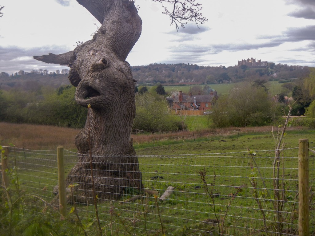
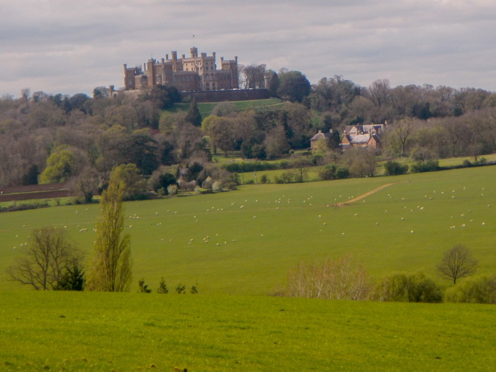
There were lots of views of Belvoir Castle, ancestral home to the Duke and Duchess of Rutland. The best views were behind us while climbing a hill in a field parallel to the aptly named cliff road.
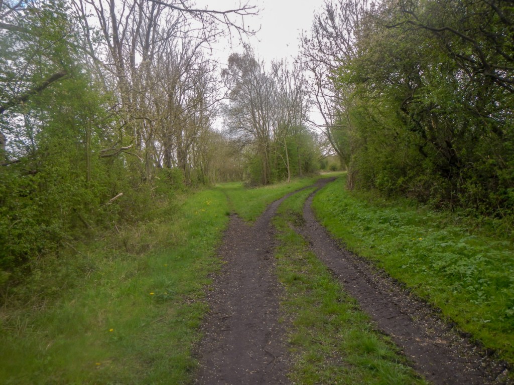
Soon we reached a green lane – Sewstern Lane. This ancient track may date back to the Bronze Age and later on was used as part of a drovers’ way to move cattle from Scotland and the North of England to the Midlands and London.
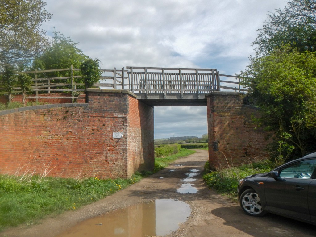
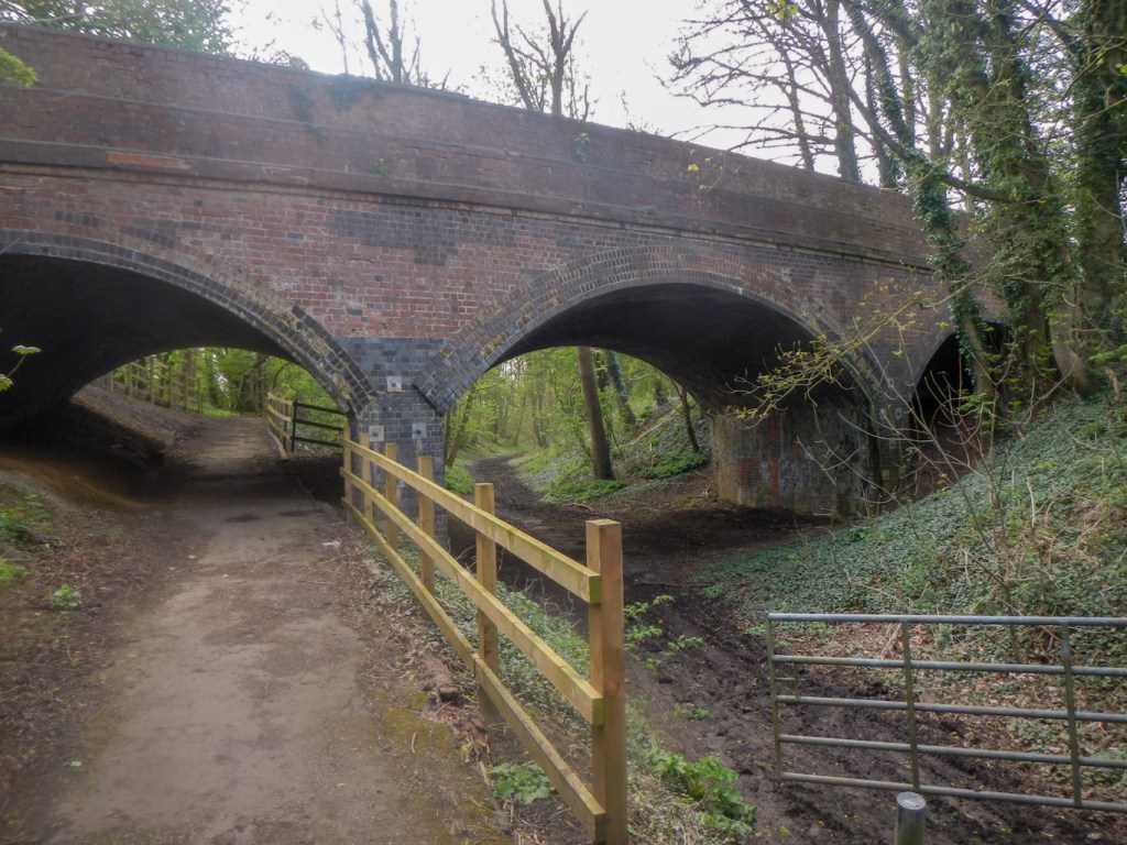
We descended the green lane to reach the track bed of the same old railway line seen previously near the canal. Ironstone was extracted from near Woolsthorpe and by 1883, the Great Northern Railway had constructed a branch line to remove the ore. The line was extended as further quarries and open cast mines were opened near Denton and Harlaxton and then closed in 1974.
We walked past a track junction – this had been Casthorpe Junction where a branch line off the branch we were following had been built in 1941 to serve the quarries on the hills above Harlaxton. We reached an imposing three arched bridge, carrying the Belvoir Road over the railway.
Eventually our route turned on to another section of Sewstern Lane (the same old drovers’ way) and then on to a path before emerging on the road near some enormous rusting iron gates to the grounds of Denton Manor.
As we reached the turn into Denton Village, a mother called on us for assistance. Her toddler son was having a tantrum in the most dangerous place possible in the area next to the main road. He didn’t want to be put into his pushchair. My husband pushed the pushchair into the lane while the mother ensured the safety of her son. He spotted a ladybird on the ground and had soon forgotten that he didn’t want to ride in his pushchair. Seizing the moment, his mother expertly strapped him in. When we explained that we were returning to the village after retrieving our car from the layby and would be staying at a B&B locally overnight, she gave us a glowing recommendation to eat at the village pub – The Welby Arms, a Grade 2 listed building. It had been at risk of permanent closure then bought a few years ago by a local couple.
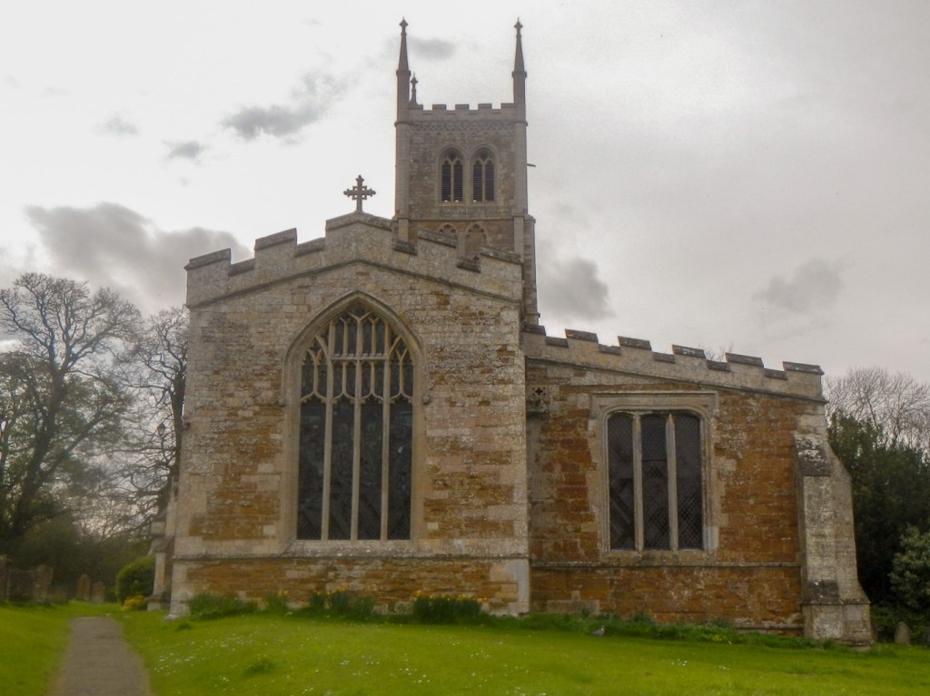
We passed the Grade 1 listed St Andrew’s Church, noting the direct access path from the manor to the church. We missed the fact that we had also just passed the Coach House where we were booked to stay overnight.
It wasn’t far to walk along some paths back to the layby on the A607 to retrieve the car.
The Coach House turned out to be an amazing and luxurious place to stay and superbly located in the heart of the village between the church and the pub. Definitely recommended! Moreover we also enjoyed fabulous locally sourced food at very reasonable prices at the extremely friendly and welcoming Welby Arms.

What a beautiful walk! Love the bridge and the creepy tree 🤣
LikeLiked by 1 person