23 September 2023
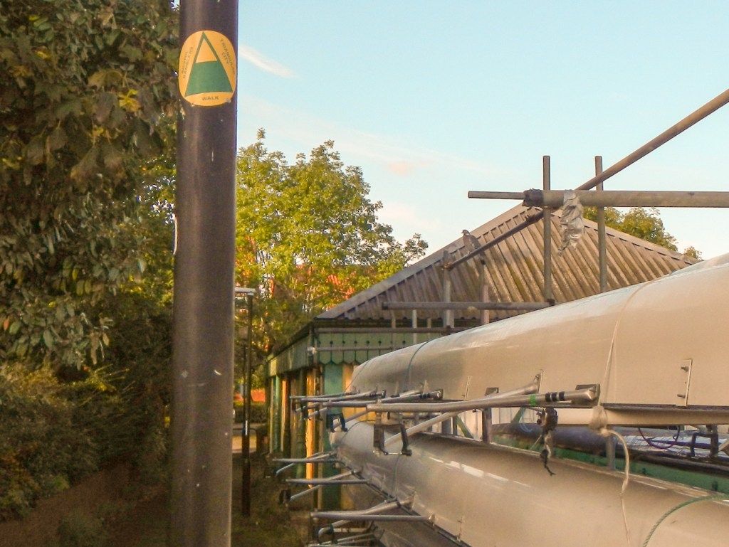
Even though I more or less left the area in 1980 at age almost nineteen after my “A” levels, this is still the map that I regard as my “home map”. I had several ideas for adventures but eventually discovered the Bristol Triangular City Walk. This is a route of about 18-20 miles developed by Bristol Ramblers and visiting several of the major sights near the City Centre as well as walking through some of its well known and lesser known green spaces. It also has the advantage of starting and finishing at Temple Meads Railway Station so it’s easy to do without needing to drive a car into the city centre.
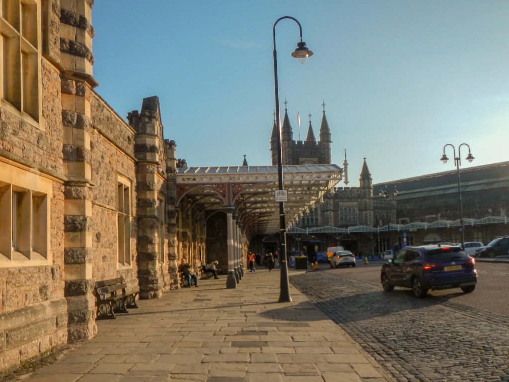
As I walked out of the iconic nineteenth century railway station, designed by Isambard Kingdom Brunel, it was fitting that one of the first things to catch my eye was a statue of this great Victorian engineer. The station wasn’t his only legacy to Bristol and I would be seeing more.

Bristol is famous as a hot air ballooning centre and home to the Annual Bristol International Balloon Fiesta. Given that I arrived in Bristol early in the morning on a sunny still day, it was unsurprising that a couple of hot air balloons could be seen flying south west of the station.
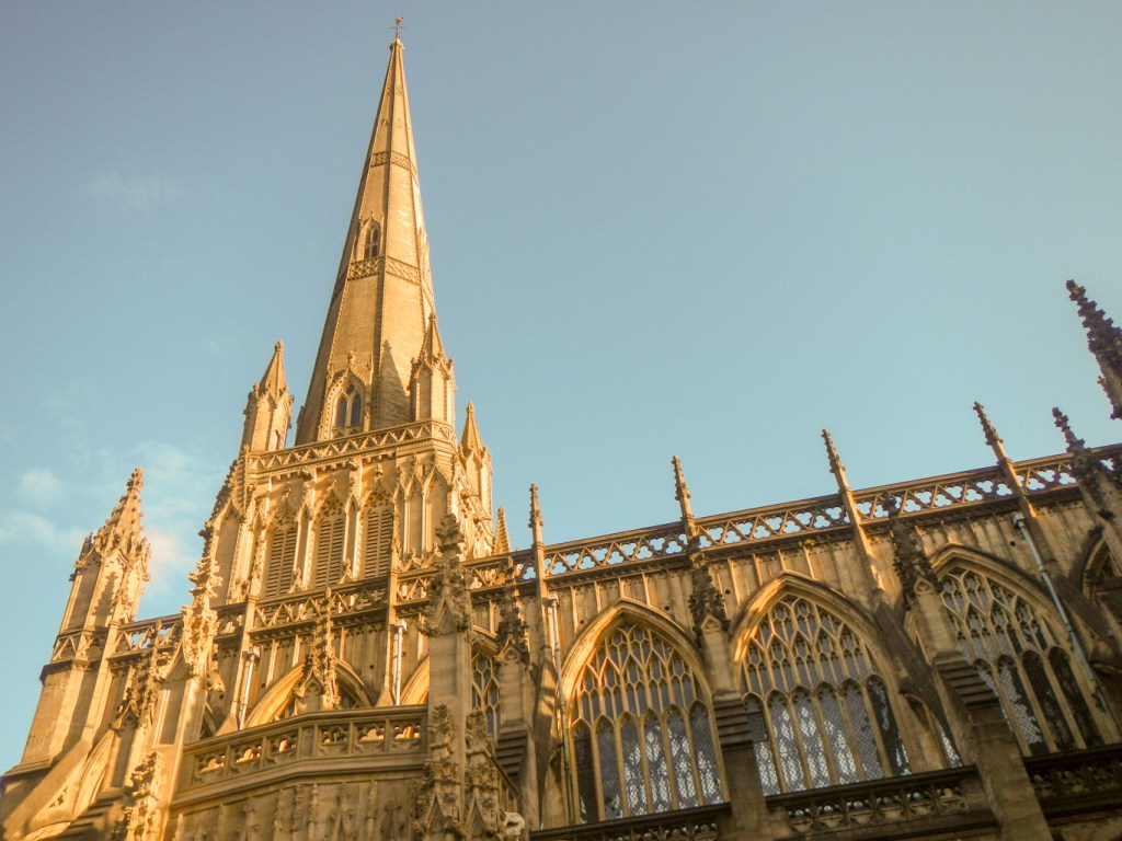
My route led past St Mary Redcliffe Church described by Queen Elizabeth I, on a visit to the church in 1574, as “The fairest, goodliest and most famous parish church in England”. With a height of 84m to the top of the weather vane, it’s the second highest structure in Bristol even today and it’s the sixth tallest parish church in the country.
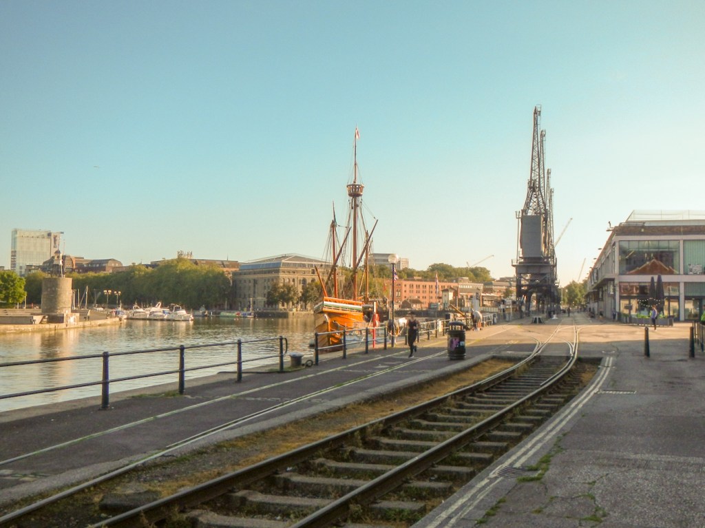
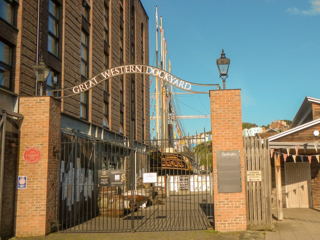
Bristol has a strong maritime heritage so unsurprisingly my next destination was to the floating harbour and quayside. The tidal range of the rivers in the Bristol channel is as much as fourteen metres (second greatest of any in the World) and the construction of the floating harbour was a solution to the associated problems of having a port where all the ships went aground twice daily. Eighty acres of tidal river was impounded to allow visiting ships to remain afloat all the time. I saw several historic boats including the famous pleasure steamer MV Balmoral, a modern reconstruction of the original Matthew that John Cabot sailed to Newfoundland in 1497, the iconic passenger boats of the Bristol packet Boat Company and, of course, the famous restored SS Great Britain, another of the legacies of Isambard Kingdom Brunel. I remember the Great Britain arriving back in Bristol as a rusting hulk being towed under Clifton Suspension bridge in 1970. Certainly she is looking much more impressive now following a massive amount of restoration and she is moored in the Great Western Dockyard.
My walk continued, with views of Clifton Suspension bridge, spanning the Avon Gorge, becoming increasingly prominent. Of course, this also is a legacy of Brunel! I walked down the River Avon tow path all the way to the bridge before returning back up the gorge as far as a red sandstone railway bridge which I crossed then walked through ancient woodland (part of Leigh Woods), climbing up towards the bridge. There were many people out walking and running on this sunny Saturday morning – the only day it hadn’t rained for at least a week.
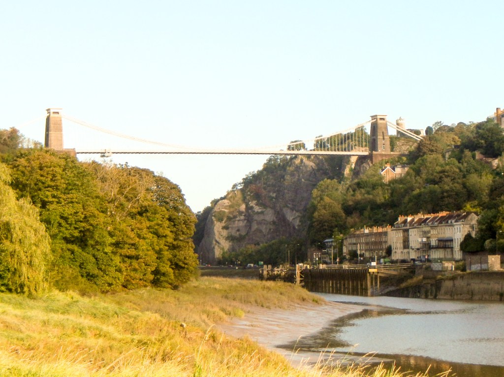

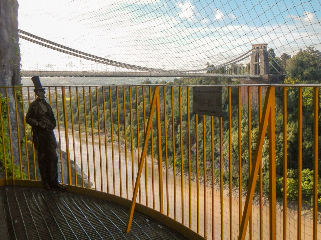
My route led me across the bridge, with views ahead of the Avon Gorge cliff and the opening of the “Giants’ Cave”, 250 feet (76m) above the Avon gorge and 90 feet (27m) below the cliff top. The bridge looks impressive today and must have been even more of a marvel when it was opened in 1864.
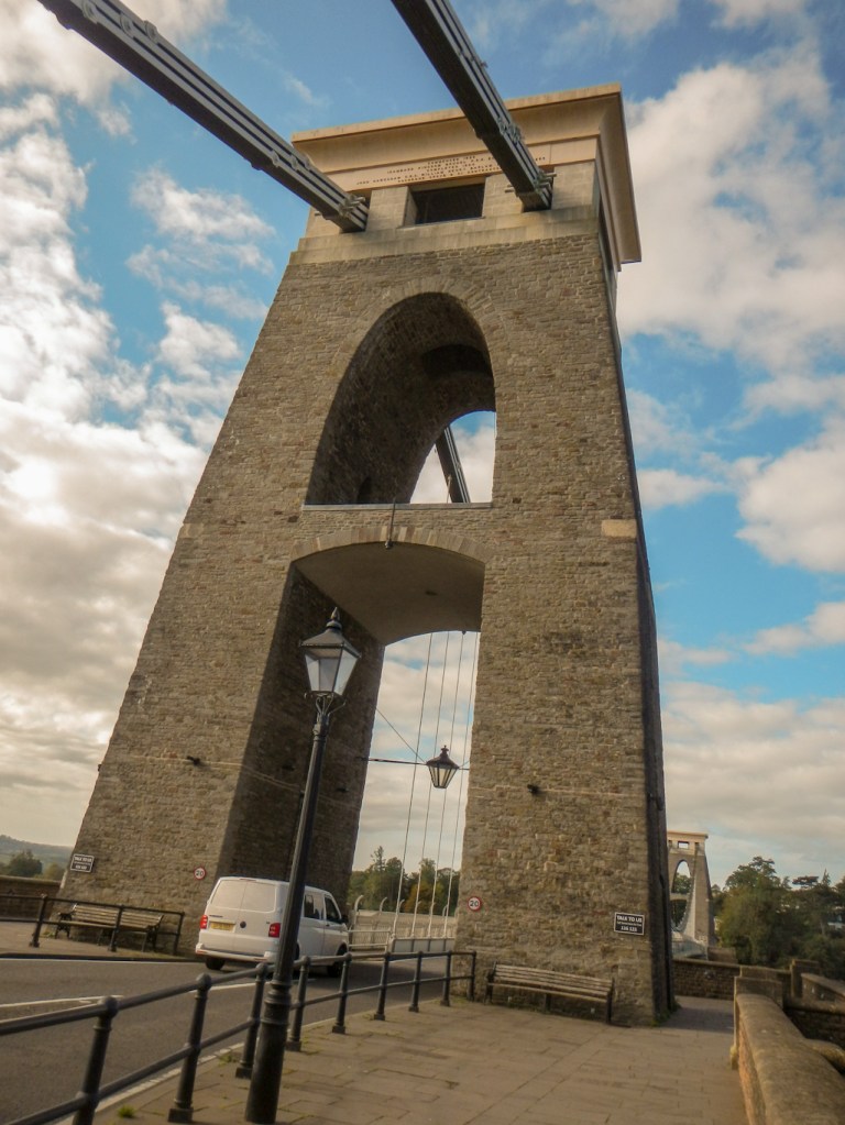
The idea of building a bridge across the gorge originated in 1753. Eventually a competition to design a bridge was held and in the end the design submitted by Brunel was declared the winner. Building started in 1831 but was halted by the Bristol riots. The riots took place after the House of Lords rejected the second Reform Bill, which aimed to eliminate some of the rotten boroughs and give parliamentary seats to Britain’s fast growing industrial towns such as Bristol. Building restarted in 1836 but was slowed by lack of finance and Brunel died in 1859 five years before the bridge was completed. This was to a revised design by William Henry Barlow and Sir John Hawkshaw, with a wider, higher and sturdier deck than Brunel intended, and triple chains instead of double.
Having crossed the bridge, my route continued uphill on a steep path to the Clifton Observatory. I’m pleased that I noticed the camera obscura and the “Giants’ Cave” were open as visiting these was one of the highlights of my day. I’m certain I had never been to these previously and not sure why as I do remember childhood trips to look at Clifton Suspension bridge and to visit The Downs.
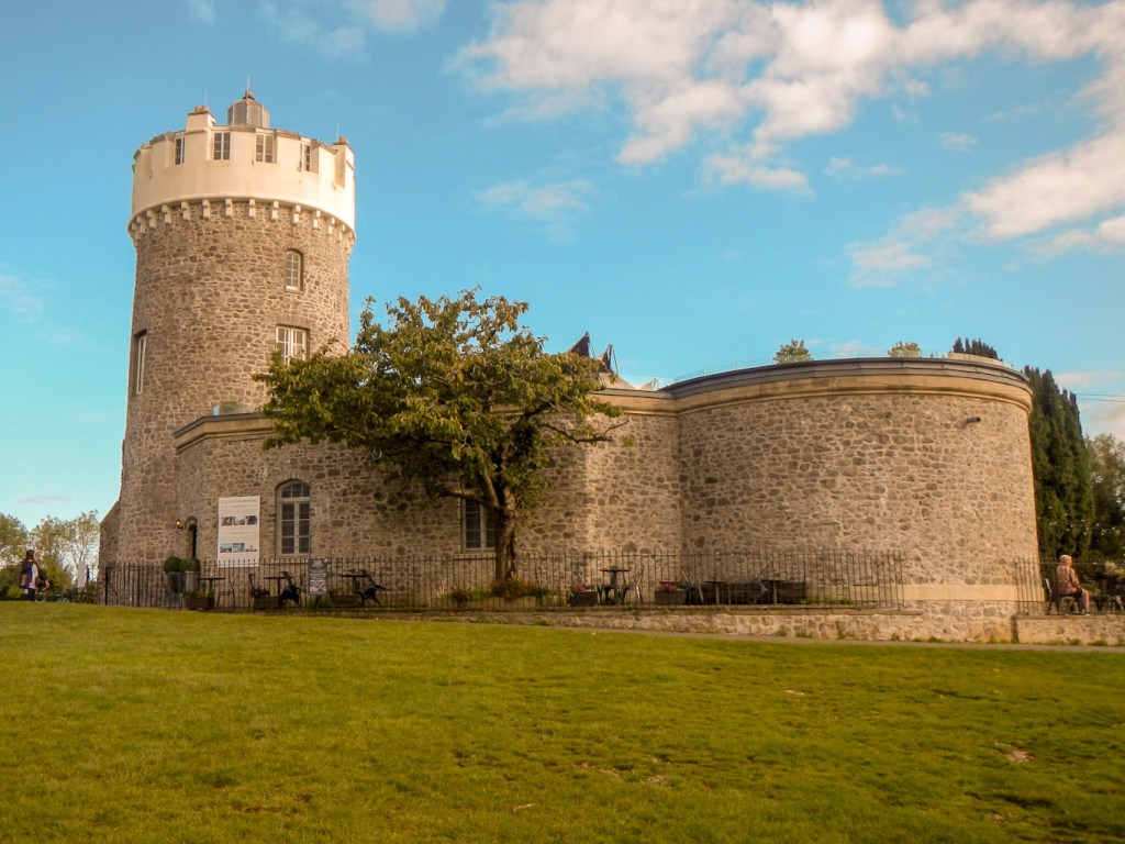
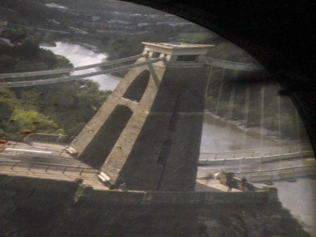
I was fortunate to be the only person in the small dark capsule and was able to turn the handle to rotate the camera obscura and see impressively clear images particularly of the Clifton Suspension Bridge.
An informative museum display explained amongst other things that it was William West, the creator of this camera obscura, who introduced photography to the people of Bristol. Evidence has been found that links the image of “The Leaf” (a famous early photograph) originally attributed to photography pioneer William Henry Fox Talbot to photogenic paper prepared by William West. Moreover the “photographer” is now believed to be Sarah Anne Bright, an artist and photographer from an important and wealthy Bristol family.
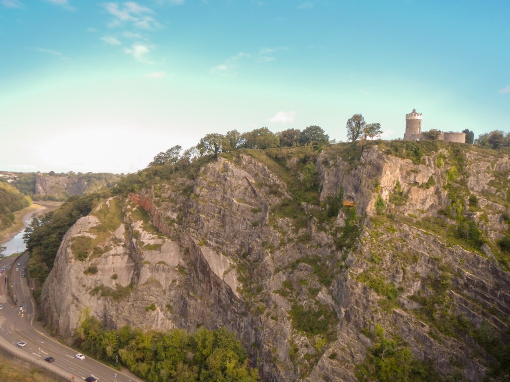
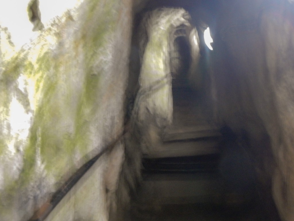
Having explored the three floors of the observatory, I descended back to the ground floor reception and climbed down a further 130 steep steps along a 200 foot (61 m) tunnel. The ceiling is low so fortunately hard hats are provided. Looking out over the Avon Gorge, the Giant’s Cave offers breath-taking views and a unique perspective of the Suspension Bridge. Fortunately I only met some other people near the beginning of the very narrow steps so I was able to climb back up and let them pass. In the 1830s it took workmen two years to blast the passage between the observatory and the cave, previously only reached by a vertigo inducing climb from the top or bottom of the gorge.
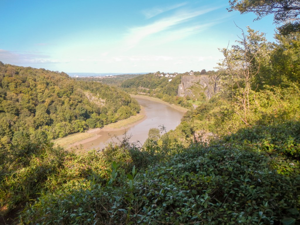
My route continued towards Clifton Down, along the cliff top passing an Iron Age Hillfort with more fine views both up the gorge to the suspension bridge and centre of Bristol and down towards the Severn Estuary and Bristol Channel.

From Clifton Down I walked past some large houses on to Pitch and Pay Lane, part of which is probably on an old Roman Road linking Bath with the port near the present day Sea Walls for embarkation to Caerleon in Wales. As for the unusual name of the lane, when Bristol was quarantined during the bubonic plague, tradespeople from the countryside would pass vital food and goods to the people of the city over a stile located here in exchange for money.
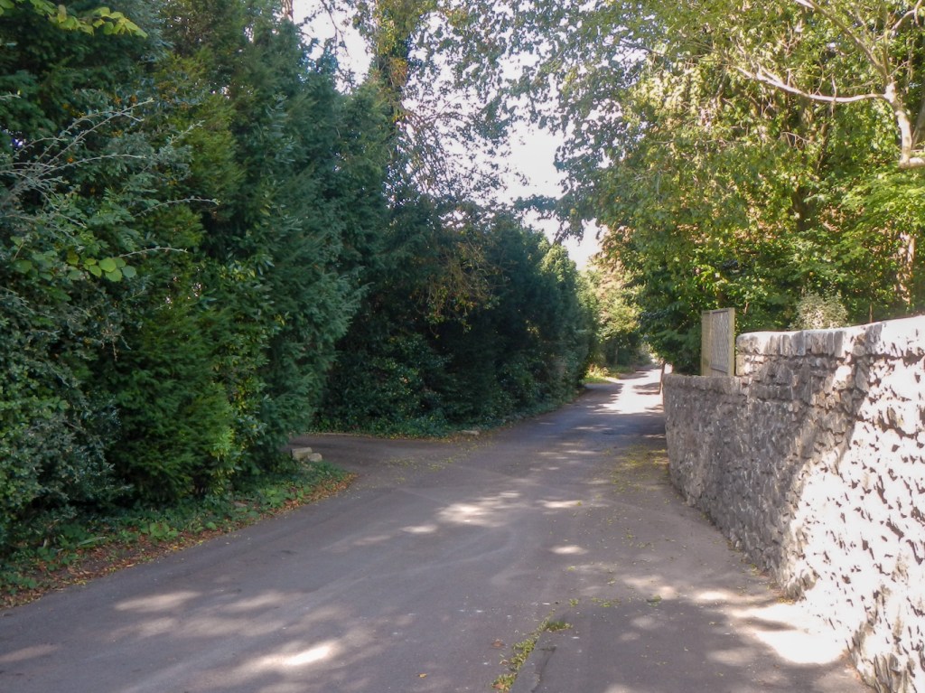
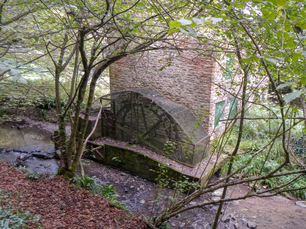
I reached a footpath alongside the River Trym, little more than a stream, and followed it upstream to enter the extensive grounds of the Blaise Castle Estate. Across on the opposite riverbank runners in a challenge race were being directed and encouraged by marshals. I have teenage memories of cold and wet runs round the estate in the winter cross country season. The path crossed the river and went past a disused mill. A steep uphill stretch followed and I emerged from the woodland on to a huge grassy area near the eighteenth century Grade 2* listed Blaise Castle Mansion House, now part of the City Museum.
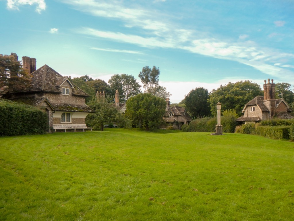
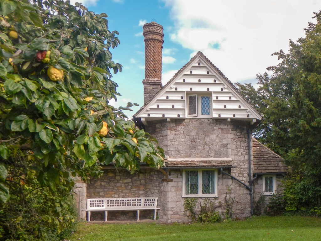
I stopped to eat my lunch on a seat overlooking an impressive and popular children’s play area, before leaving the grounds to reach Blaise Hamlet only a couple of hundred metres further on. All the cottages, and the sundial on the green are Grade I listed buildings, now in the care of the National Trust. They are all homes and I’m sure the residents must get fed up with a constant stream of tourists invading their privacy. Hence I made my visit brief. The hamlet was built in the early nineteenth century for retired employees from the Blaise Estate. The cottages are each unique and include brick chimneys and dormer windows with some having thatched roofs.
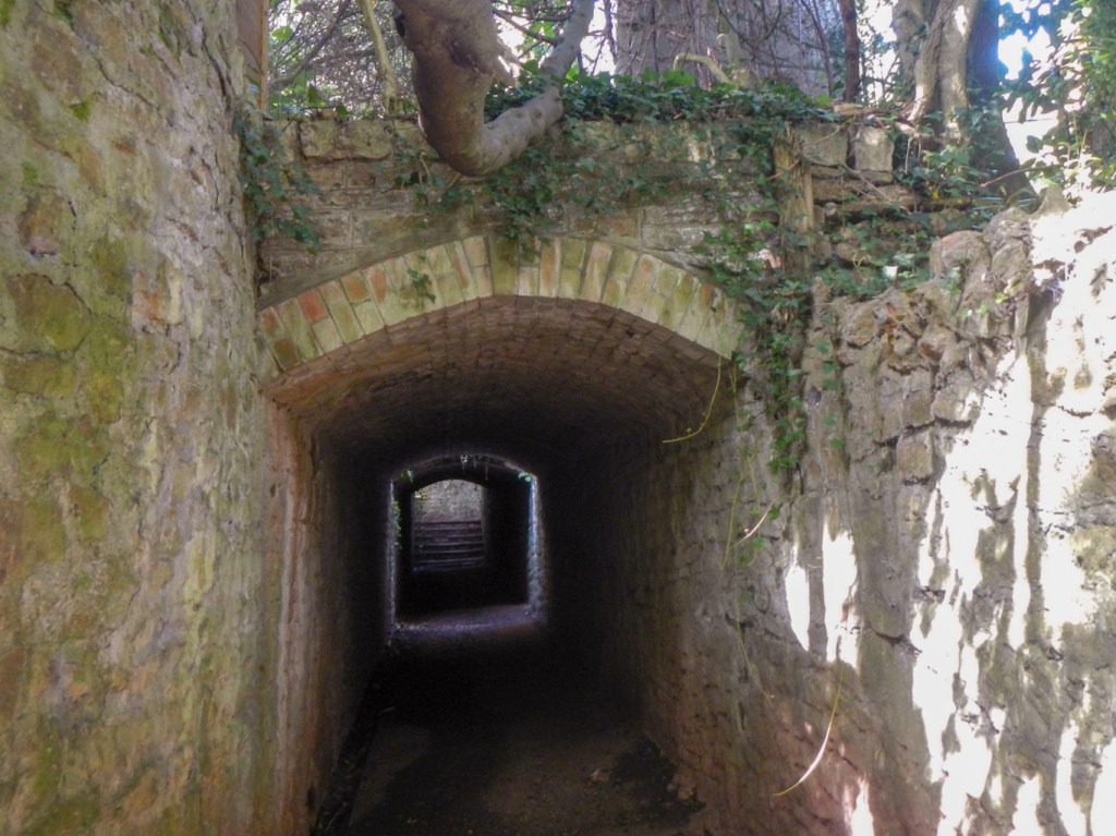
I walked back across towards the main Blaise Estate reaching Henbury Churchyard and then leaving it through a dark tunnel.
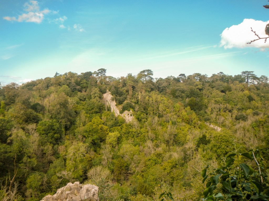
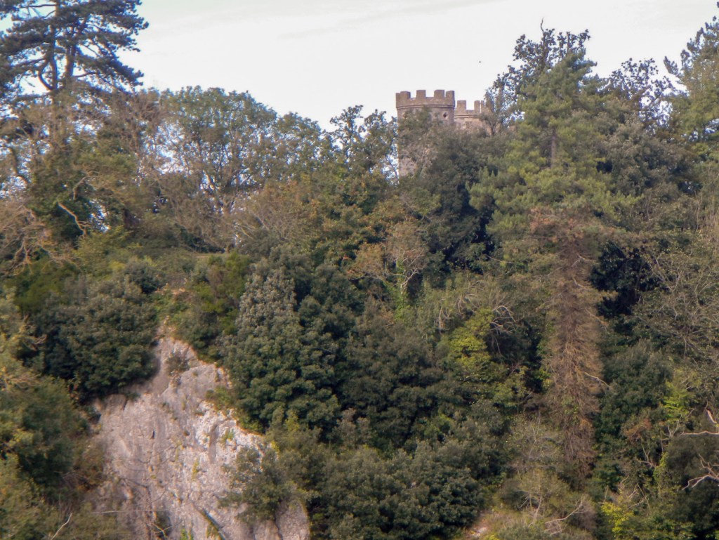
I was back in the Blaise Estate woodland and passed a gamekeeper’s cottage before proceeding along some more paths to reach a very precarious viewpoint from where there I had sight of the Blaise Castle Folly on the opposite side of the deep valley.
My route was adjacent to a golf course and then a path across the golf course. I waited to cross while a pair of golfers each took two tee shots accompanied by shouts of despair.
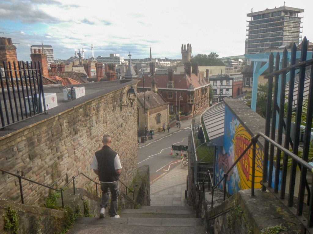
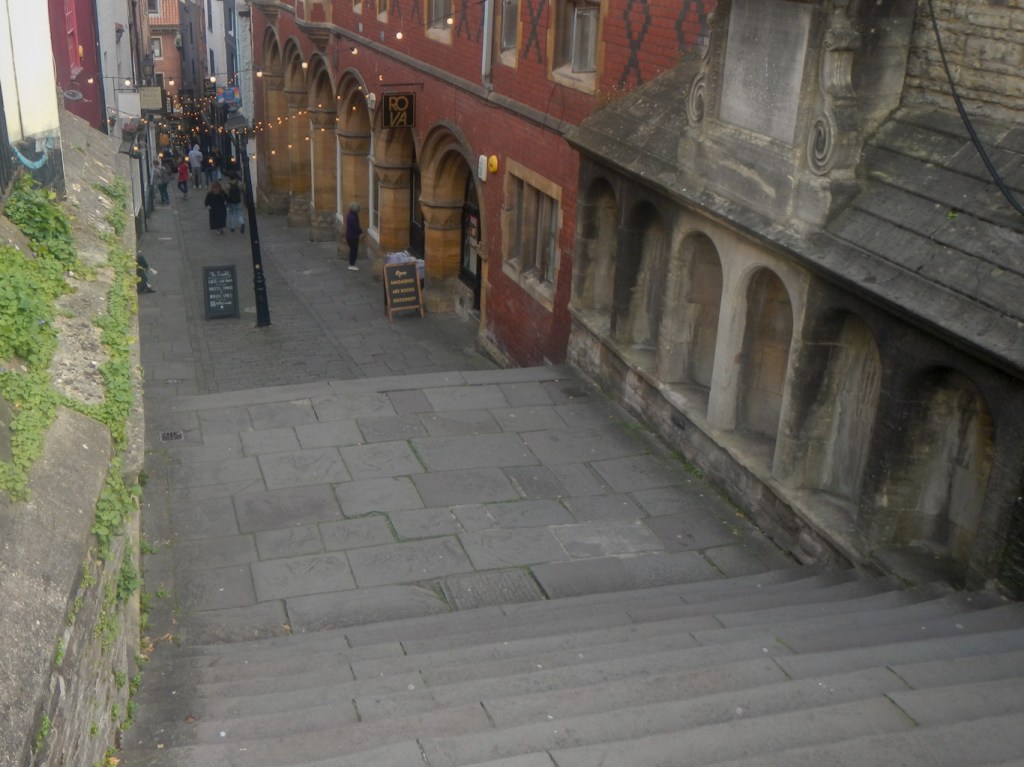
I emerged in Westbury village, passing some shops and reaching the churchyard. The route continued through a maze of streets in an affluent looking residential area, past schools and an area of open parkland. Soon I found myself passing the back of a hospital near the city centre. It suddenly became very much busier as I reached the historic Christmas Steps (name is probably a corruption of Knifesmith Street).
I walked through St John’s Gateway, the only surviving gateway in the old town wall.

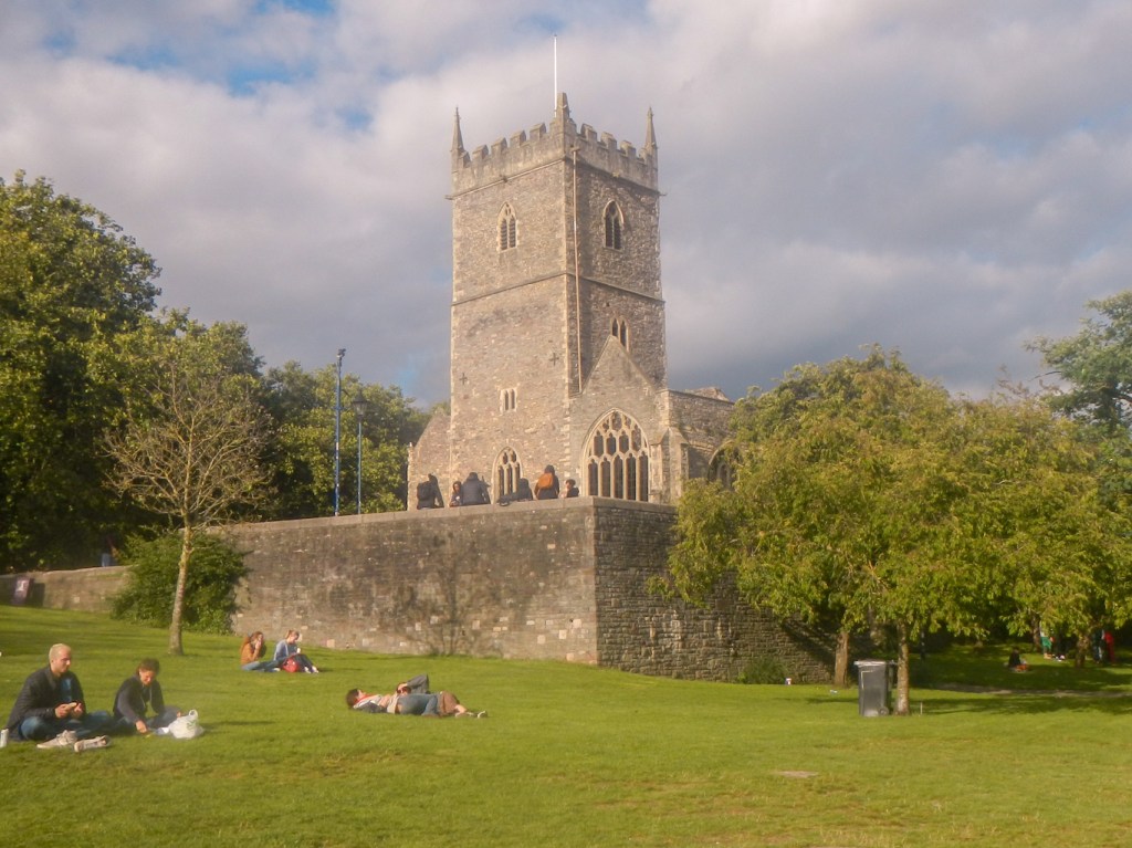
From there it was only a short walk to reach Bristol Bridge and turn into Castle Park, walking past the ruined St Peter’s Church.
On tired legs, after walking up and down a surprising number of hills and spending much of the day walking on unforgiving hard surfaces, I was pleased to be on the final stretch. The route continued along the waterside through what appeared to be a redeveloped area of old dockland and then I was able to take a turning through a pedestrianised area directly to a back entrance into Temple Meads Railway Station. The next train to Exeter was due to leave within five minutes so I rushed to the platform to board and was fortunate to find a seat just as the train departed. This was very lucky – the next train which was the one I had planned to catch was cancelled so I would have been on an extremely crowded train very much later.
I saw much of Bristol that I never remember visiting previously. It was also amazing to see how much the harbour area has changed, although The Downs and the Blaise Estate continue to look much the same as I remember them while growing up in the 1960s and 1970s.

That’s an interesting city to walk around. Maybe when I’m getting beyond the high fells city walks could be the thing, as many miles as you wish, lots of interest and plenty of eateries and accommodation when needed.
Sorry, I’m in no way suggesting that you are beyond the high fells.
LikeLiked by 1 person
I am walking round areas I wouldn’t have considered in the past as I’m trying to do something on each Landranger map. It’s opened up many new possibilities and made me realise that every expedition doesn’t need to be to the coast or the mountains. It’s surprising how many off road footpaths there are close to the centre of the big cities and towns.
LikeLiked by 1 person