15-21 May 2023
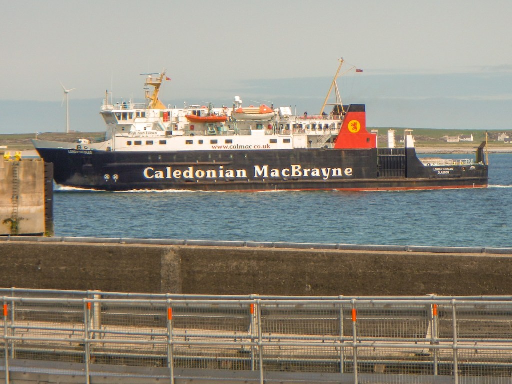
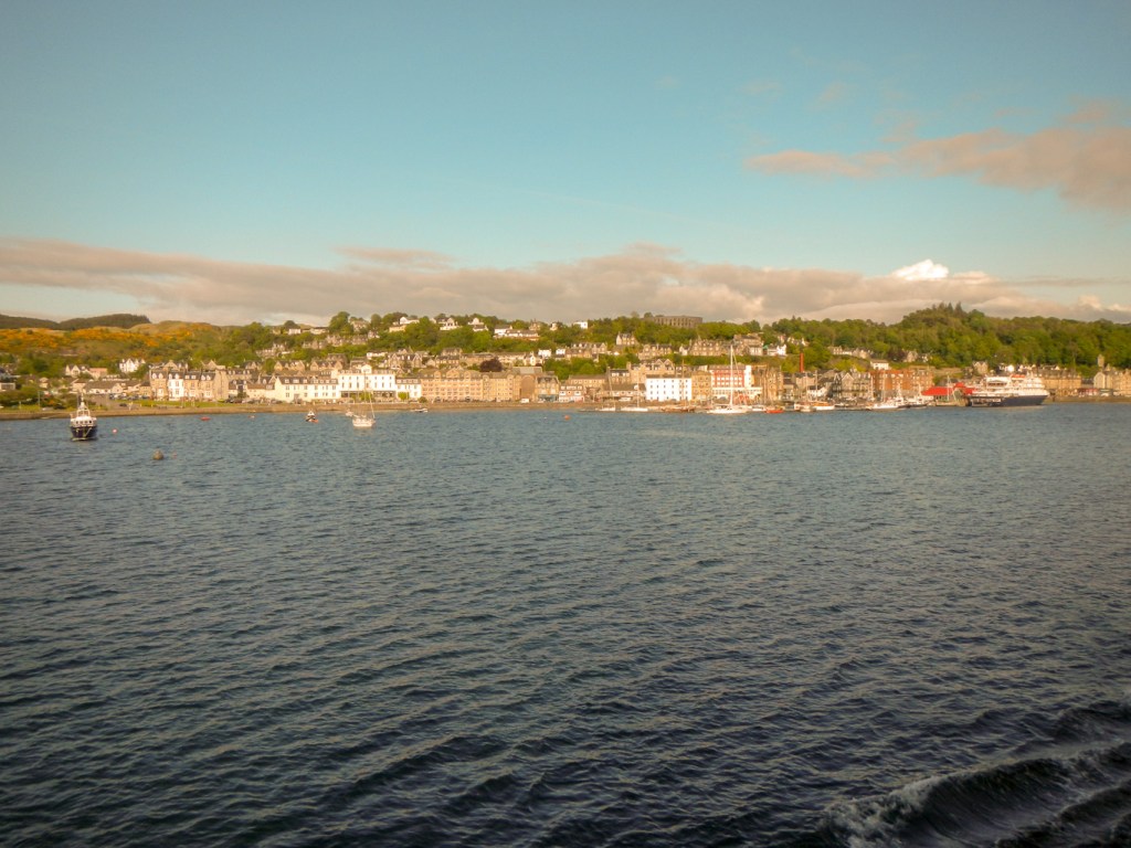
The voyage on MV Lord of the Isles from Oban to Coll takes just over two and a half hours, but departing at 07.15am means that the arrival day is almost an extra full day to explore this small island. It’s about thirteen miles long and three miles wide at its widest point. We sailed between the Isle of Mull and the Ardnamurchan peninsula before striking out over open sea.
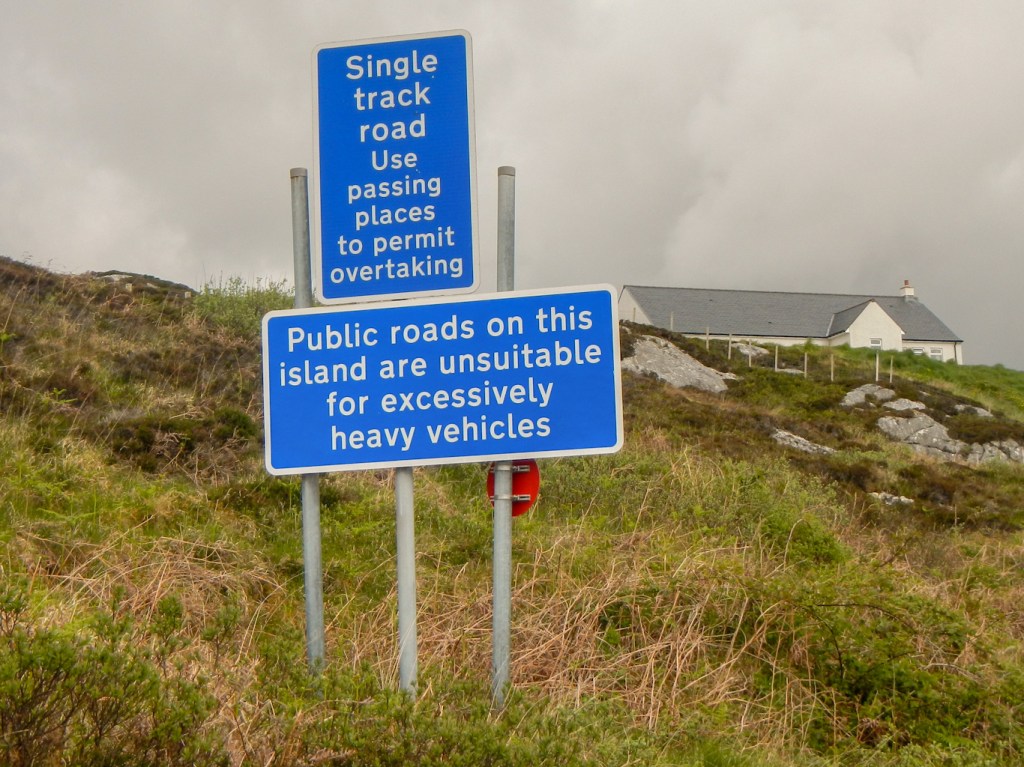
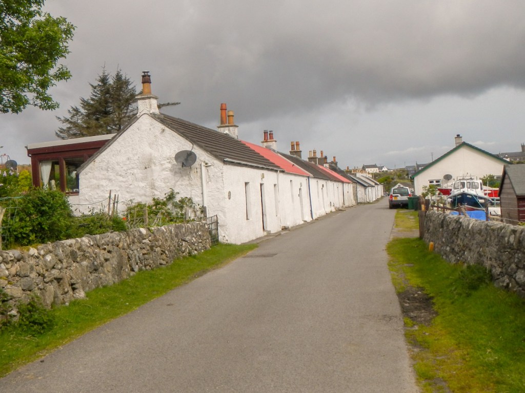
On arrival, after stopping to pick up some provisions for lunch from the island grocery shop and some postcards from the post office and general stores, (yes there are two shops to serve a population of under two hundred, as well as a quality hotel which is where we stayed) we headed towards the north end of the island on the single track road to commence exploration. It seemed as if we were living in the pages of the Katie Morag books we had seen for sale in the post office, unsurprising as the author Mairi Hedderwick based her fictional Isle of Struay on Coll, which was her home for many years.
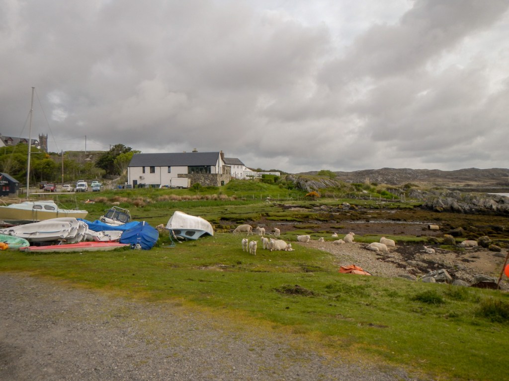
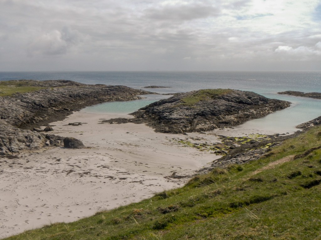
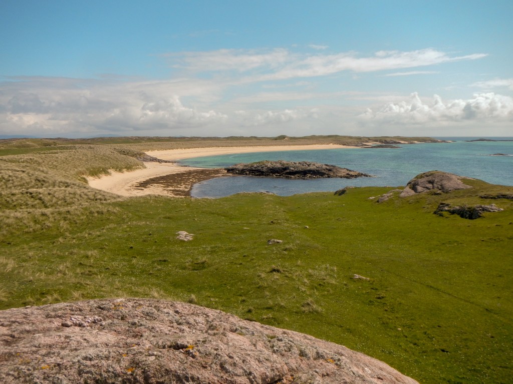
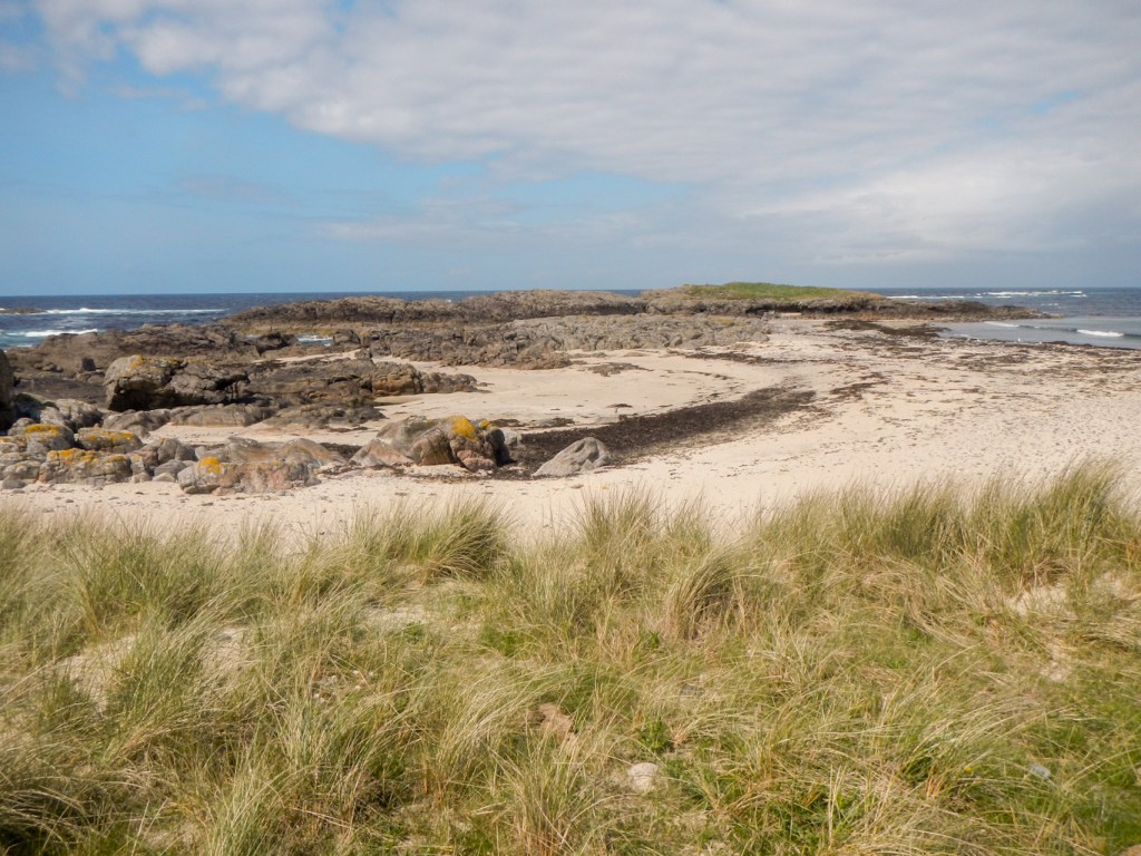
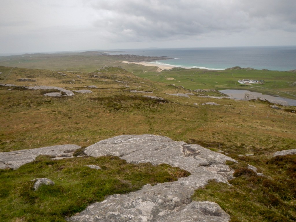
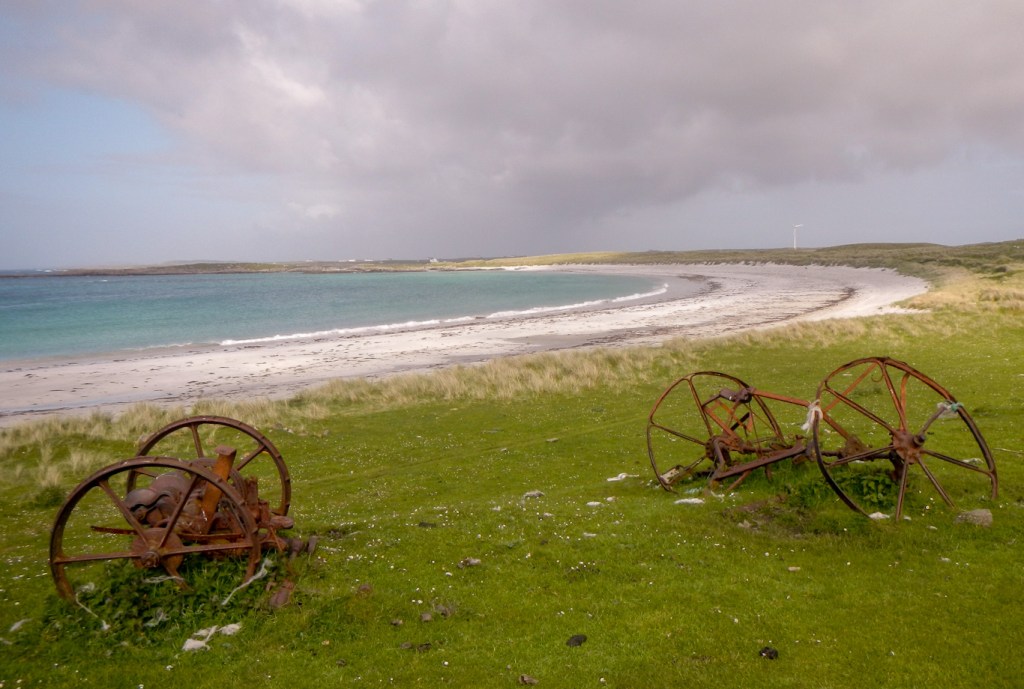
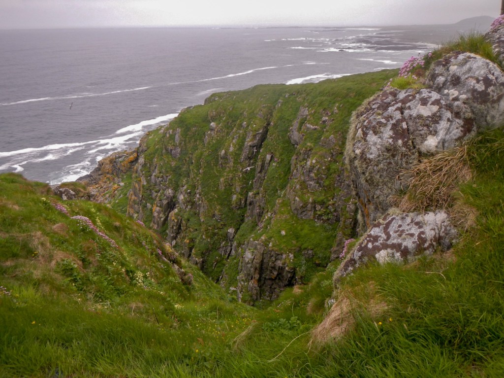
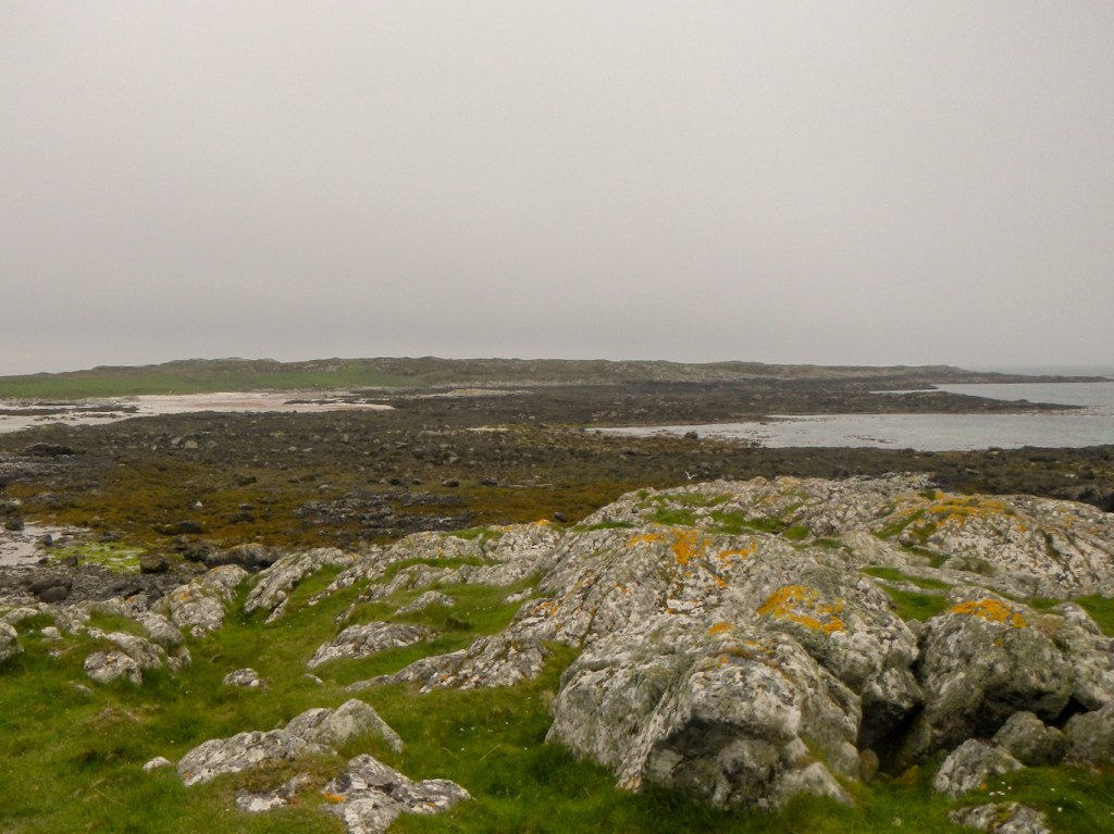
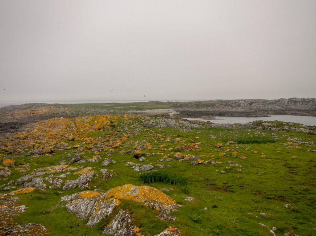
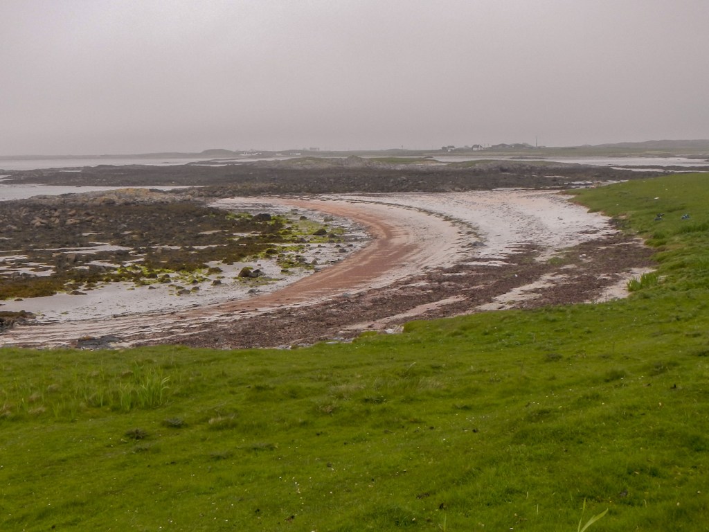
Our first day consisted of walks round bays with impressive beaches and rocky coves as well as passing through a largely deserted former fishing village and climbing up to the site of an ancient fort.

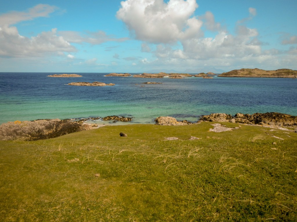

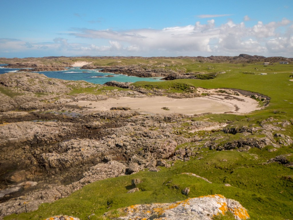
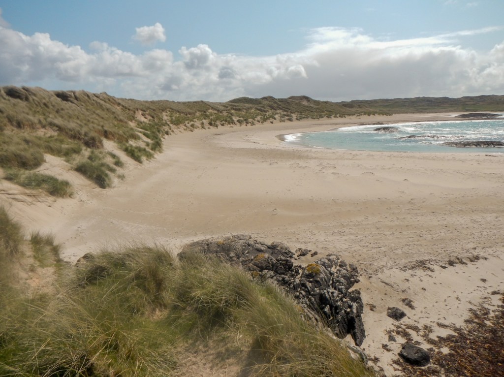
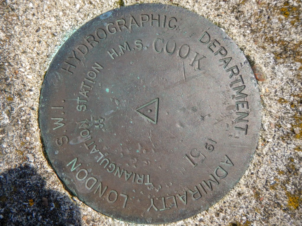
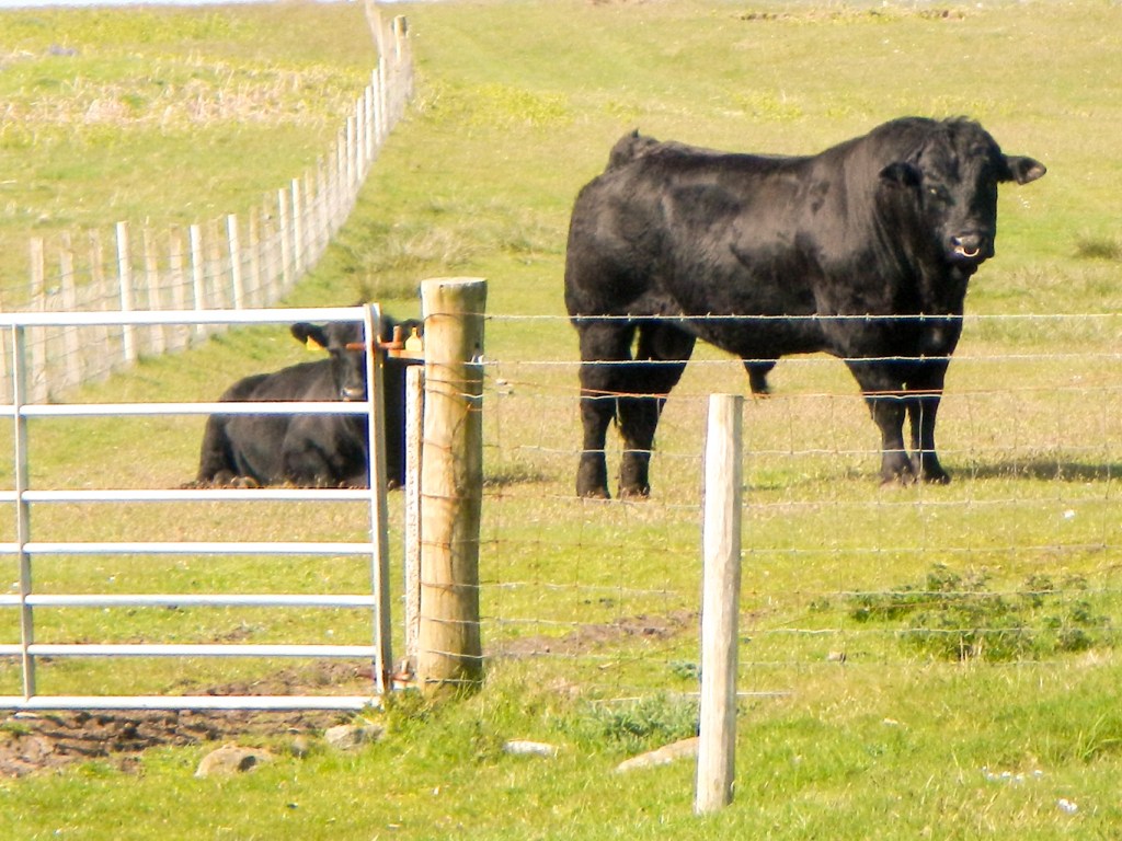
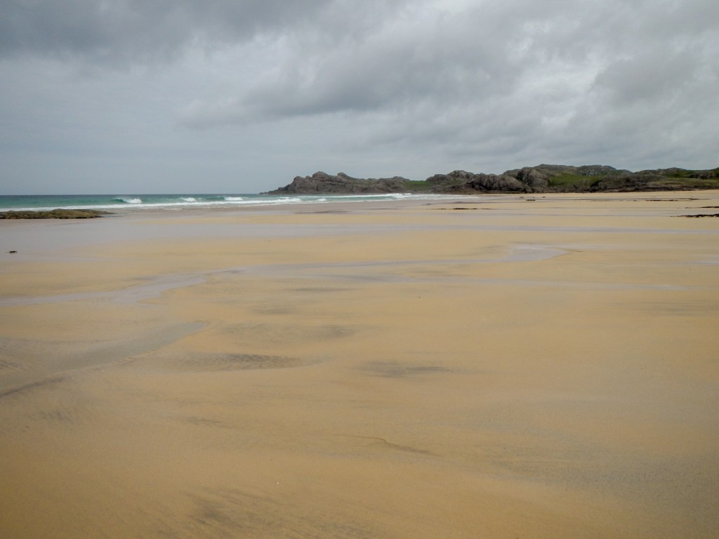
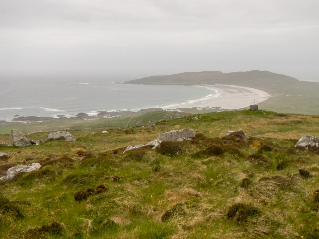
We explored the far south of the island the next day and managed to complete a stunning walk despite having to take a diversion to avoid a bull. A couple we met later in the day said that it would have been ok to walk past but we hadn’t wanted to take the risk. The huge white sand beaches were almost deserted. We looked across to the small uninhabited island of Gunna towards inhabited Tiree, which was to be our next island stay. There is an interesting trig point, 18m above sea level which also has an Admiralty trig point mark. We glimpsed an otter in the sea.
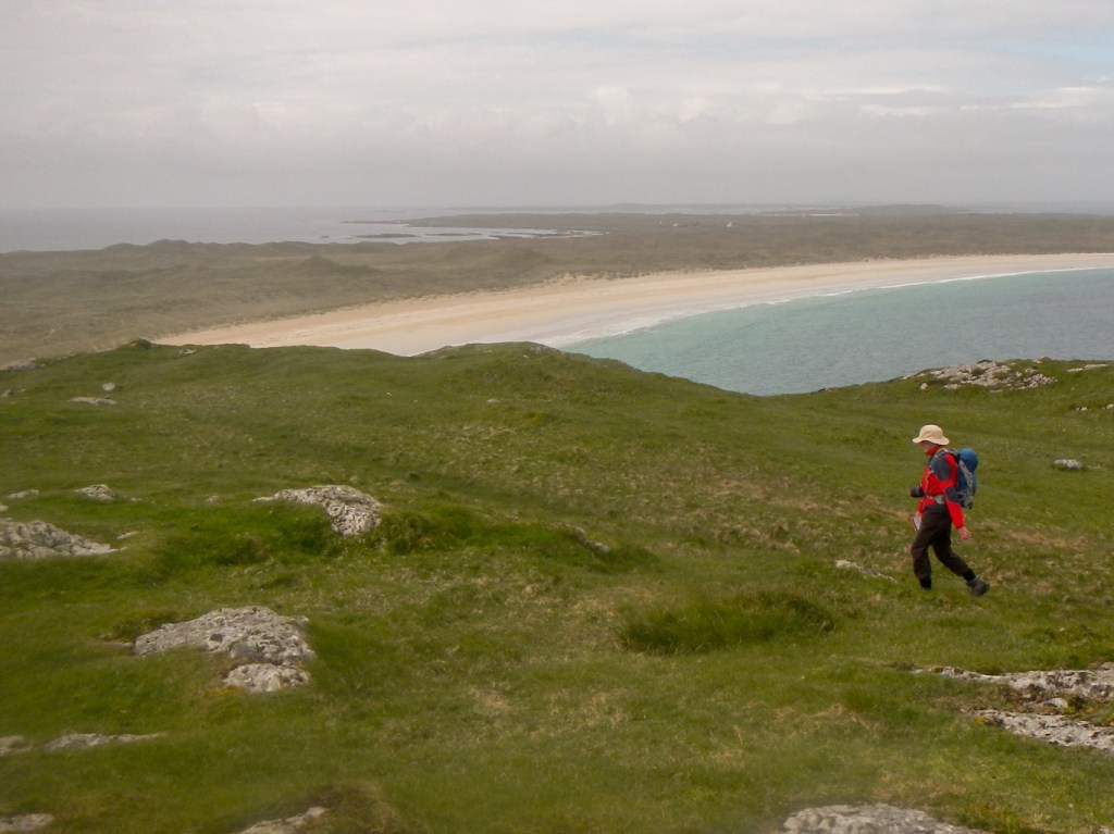
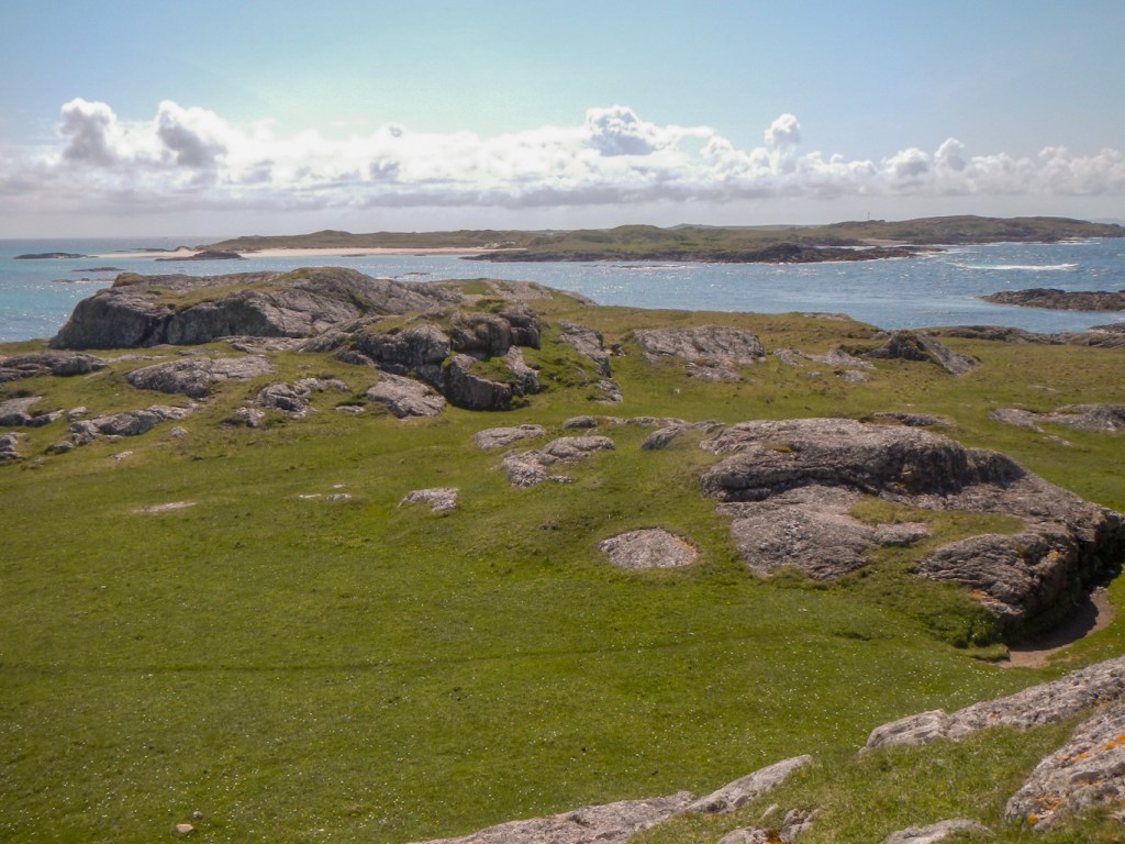

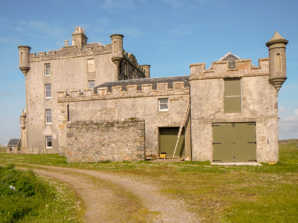
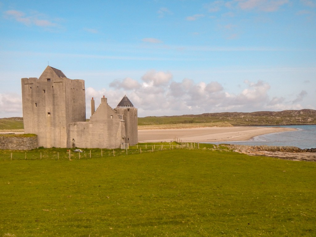
While my husband returned to the car, I walked on to explore the 19th century Maclean of Coll burial place on a small promontory and then the Breachacha Castles, homes of the Macleans, the old dating to the fifteenth century and the new to the eighteenth century. The castles can be seen in the distance from Ben Feall (66m high) which we had climbed together earlier in the day. Confusingly near this summit is a memorial seat to the last laird of Coll who was in fact not a Maclean: Kenneth Stewart who died in 2012; his family had bought the Coll estate in 1856.


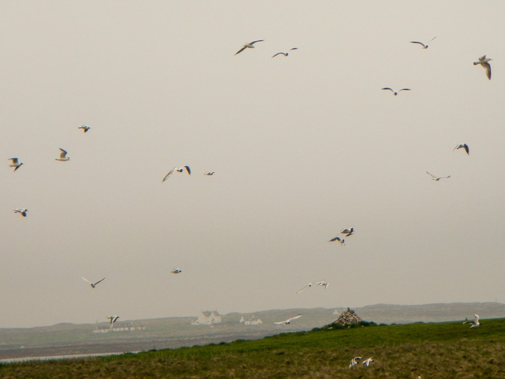
My husband spent much of our final full day trying to spot an elusive corncrake, however they were heard but not seen. Their call sounds like the teeth of a comb being drawn over a full matchbox, but much louder. When I returned to him after my walk, I could hear the sound easily but seemingly coming from some long grass apparently devoid of bird life.
In the meantime, I headed for the high-point of the island, at 106m (the trig point is a few hundred metres away at 104m). I also found an erratic named Clach na Ban-righ or the Queen’s Stone, sitting on three much smaller stones.


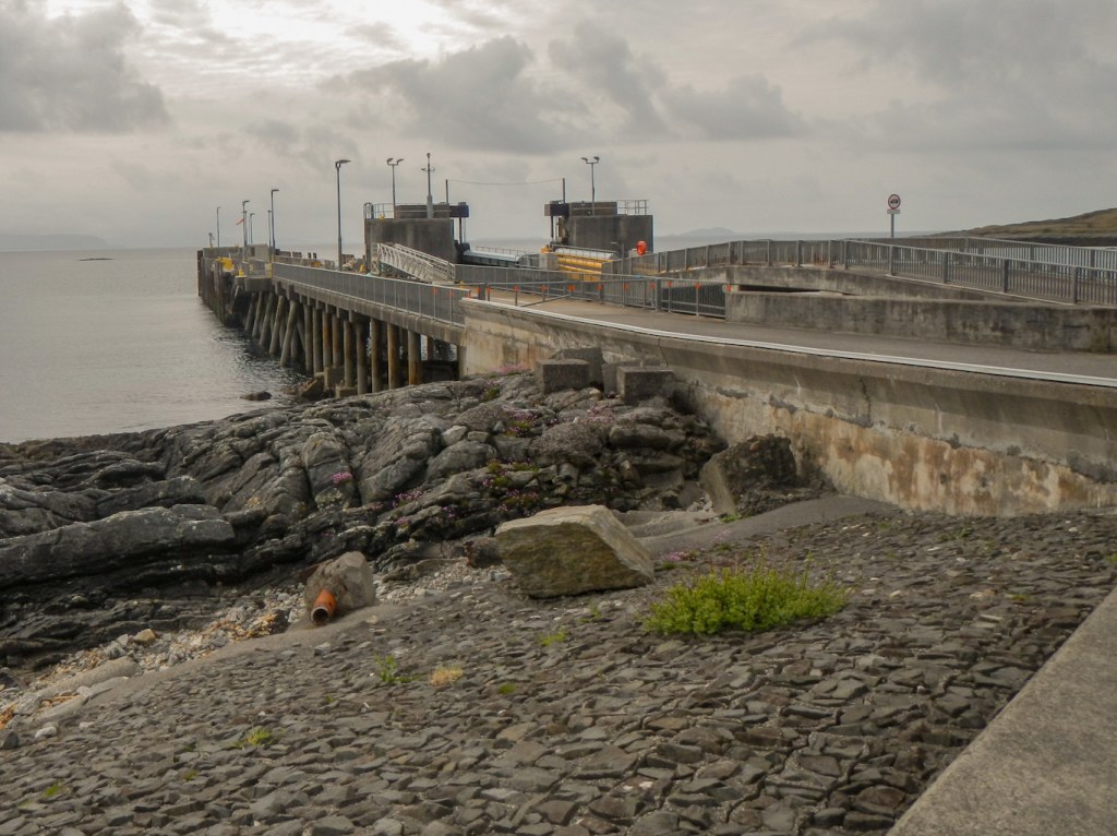
Next morning, it was time to sail on MV Lord of the Isles once more, for a 55 minute voyage to Tiree.
Our base in Tiree was a modernised black house. The dry stone walls can be nine feet thick. Nowadays they are usually white in colour as the original walls have been cemented and whitewashed.
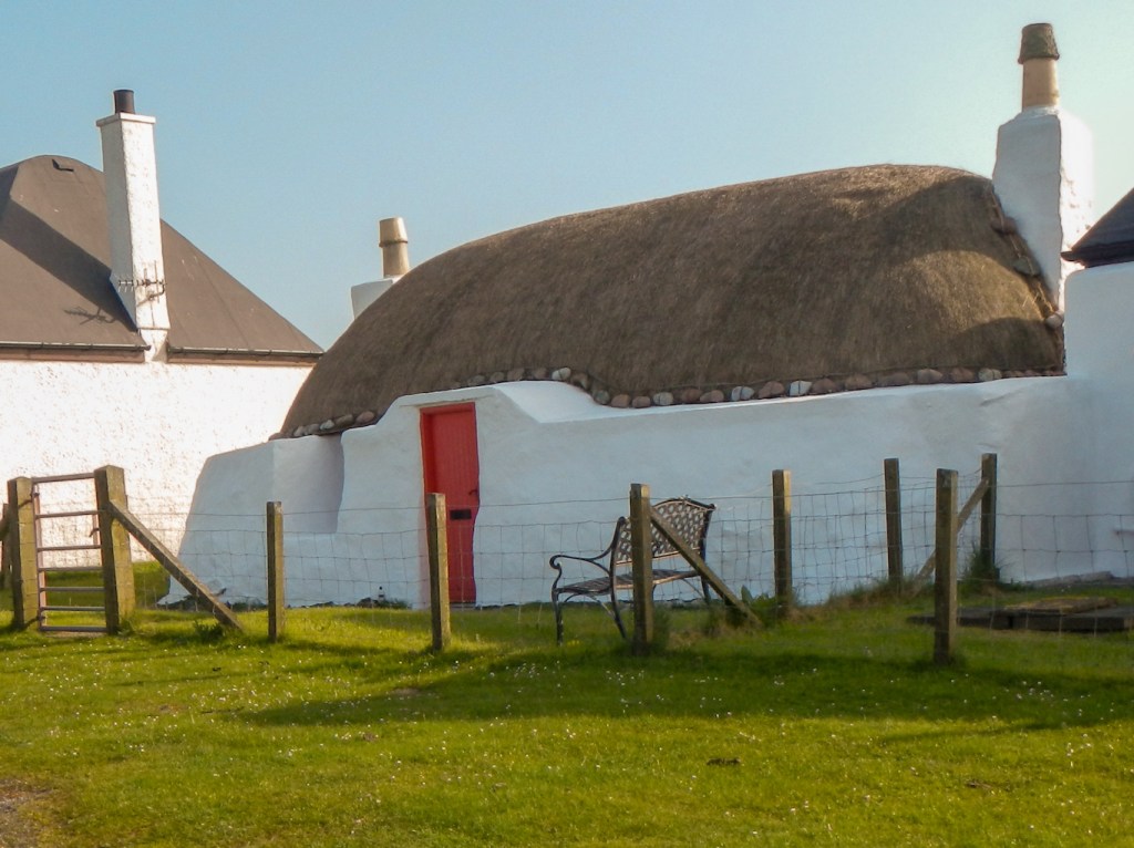

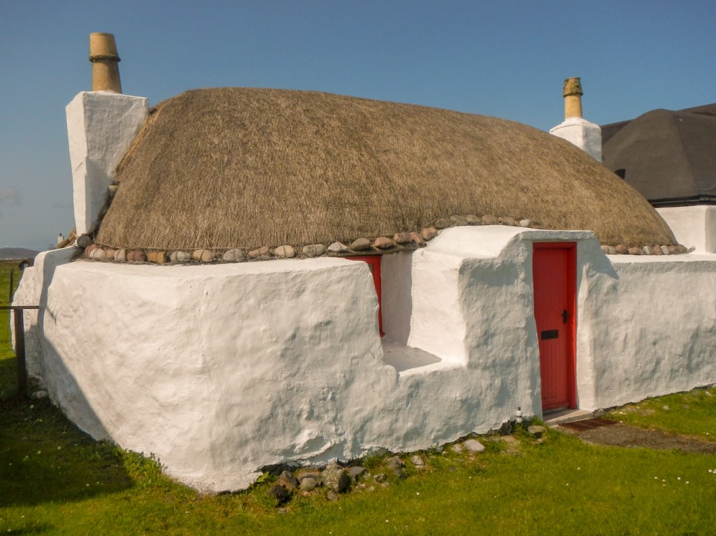
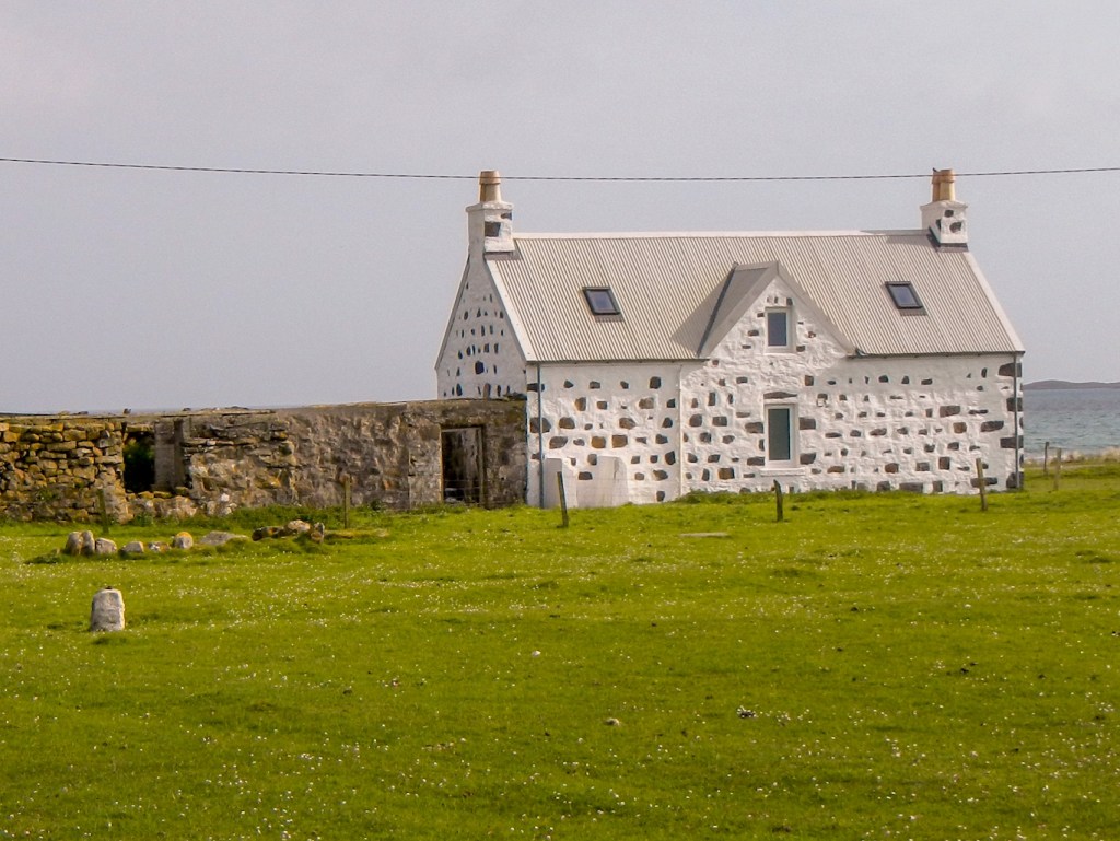
Our “home” for the next three nights retained its thatch and was located on the machair near some other traditional buildings including “spotty” or “pudding” houses. It is the tradition in Tiree only to paint the mortar in stone houses, leaving the stone in its original colour, resulting in this ‘spotty’ appearance.
The acreage is only slightly greater than Coll but it has a much larger population – over 650 and some sources say as many as 800. It also has more roads. In contrast to Coll, it is mainly flat, although we seemed to spend a lot of time in its hilliest area including ascending the higher high-point (141m).
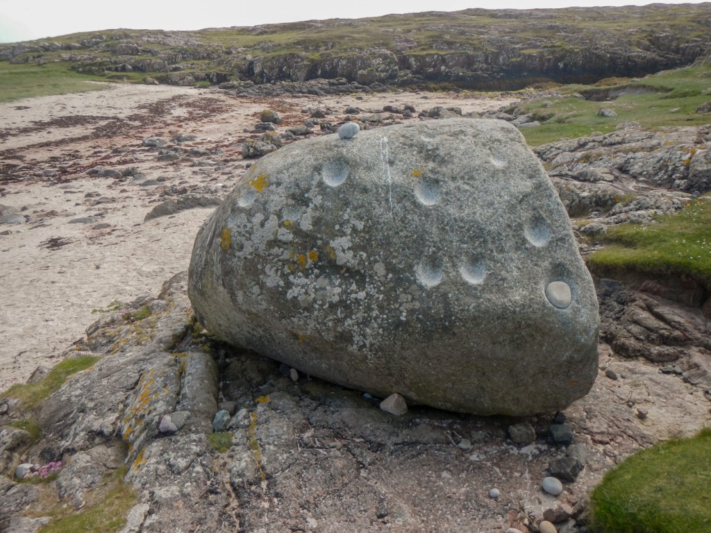
Our first exploration was a walk from our “house” to look at the Ringing Stone. The cup-marked indentations were carved up to 4,500 years ago. When struck with a small stone, the boulder makes a ringing noise, but it’s advisable not to strike it too hard as folklore says that if the stone is split then the island of Tiree will disappear beneath the waves.
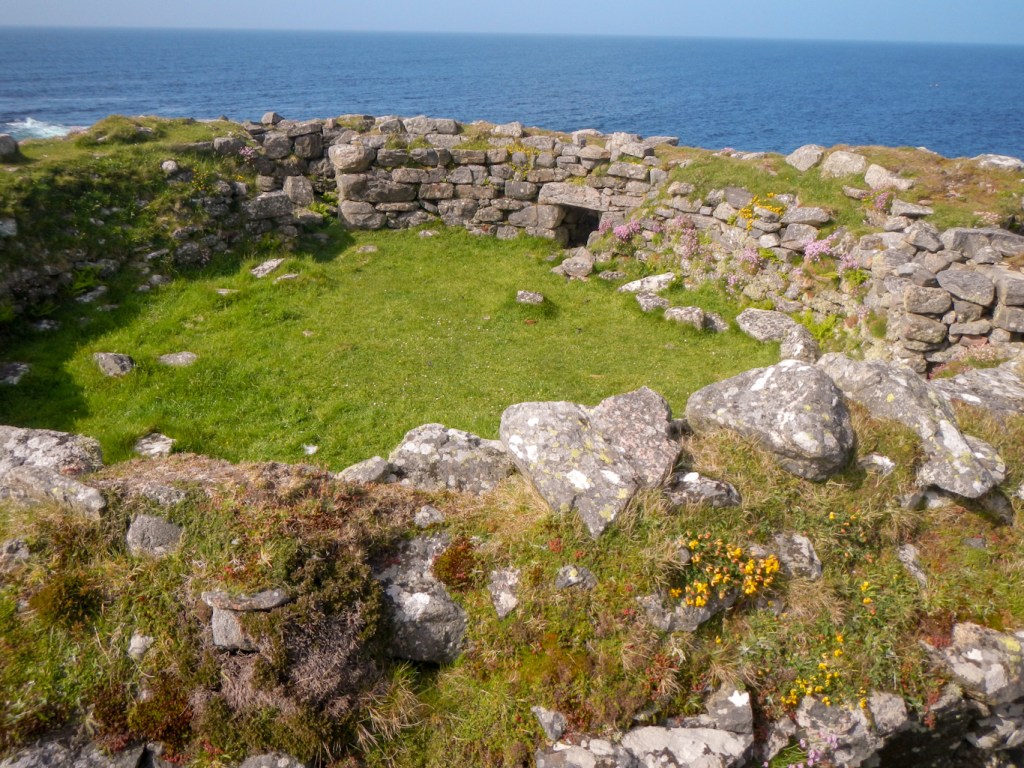
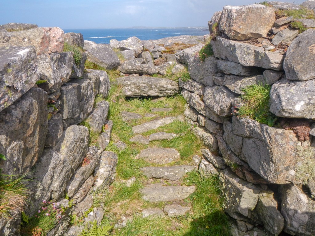
We walked a further mile or so along the coast to reach a broch dating from around 60AD. The double walls can still be seen clearly as well as the remains of a staircase within the walls.
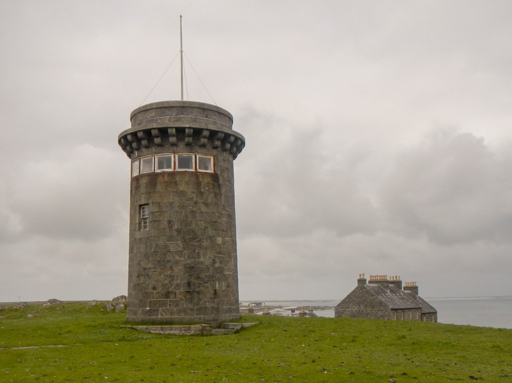
The next day we travelled to the west to look at the Hynish Centre, now restored by the Hebridean Trust but originally the site of the signal station for the Skerryvore Lighthouse, ten nautical miles away on the hazardous Skerryvore Reef. Our walk took us up to the summit of Carnan Mor, but unfortunately it was a bit hazy so the summit views weren’t as spectacular as they could have been.

I also went on to go round the Ceann a’Mhara headland – rugged and dramatic and quite unlike the largely flat and fertile terrain of most of Tiree.

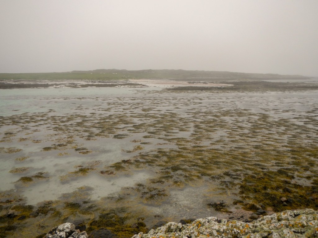
Our adventures also included finding out the tide times to enable a crossing to the tidal island of Soa, situated near the east end of the huge sandy expanse of Traigh Mor. We saw signs of otters (empty shells and spraint) but didn’t spot one.
All too soon it was time to board MV Lord of the Isles again for a scenic voyage back to Oban.