5 August 2025
This was the day after Storm Floris so as we drove from Elgin towards Culbin Forest there were still lots of fallen tree branches at the sides of the road. However, the route to the forest was fully open.
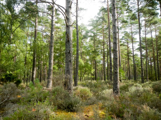
The walk began by passing through a beautiful mixed forest including Scots pine, Corsican pine, spruce, birch and beech trees. The plentiful lichen suggests that the air here is pristine.
This was once a prosperous farming estate but the coastal sand dunes were gradually destabilised as local people removed plant cover including marram grass which they used to thatch their homes. The fertile area was gradually covered with sand and in 1694 a huge sandstorm finally buried the estate, buildings and all.
The Forestry Commission bought the area in the 1920s and started to plant pine trees to stabilise the shifting sands. It’s the biggest dune system in Britain covering around 3,100 hectares.
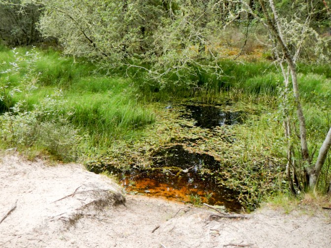
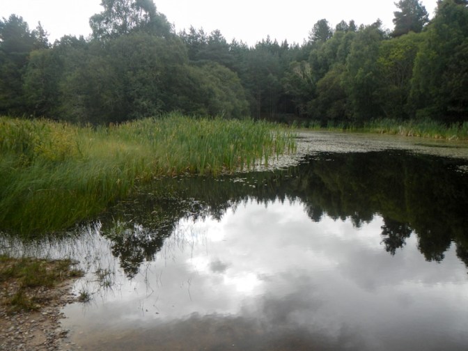
We reached the dragonfly pools and saw some water boatmen on the surface, but no dragonflies. A roe deer crossed the path in front of us.
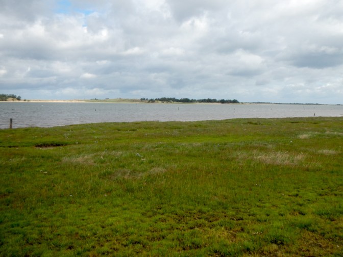
We reached the sea, where the tide was almost fully in. This is an area of salt marsh, mudflats, sand and shingle which is an important feeding ground for wading birds. We looked across the water towards huge sand dune spits.
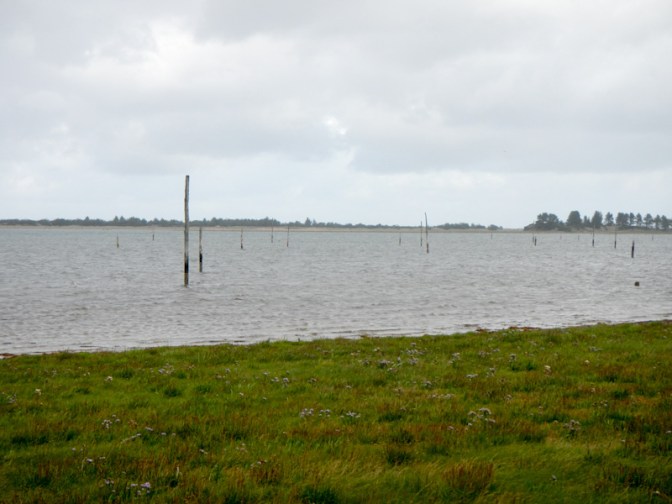
Wooden posts in the channel (known as The Gut) were put there during World War 2 to reduce the risk of enemy gliders landing on the sheltered mudflats. Apparently the poles sit in old herring barrels weighted with stones.
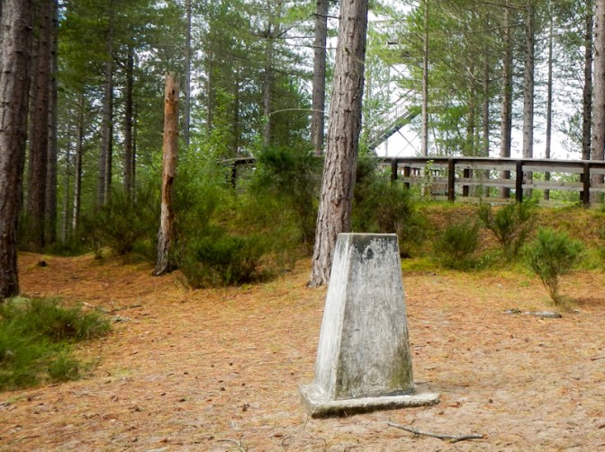
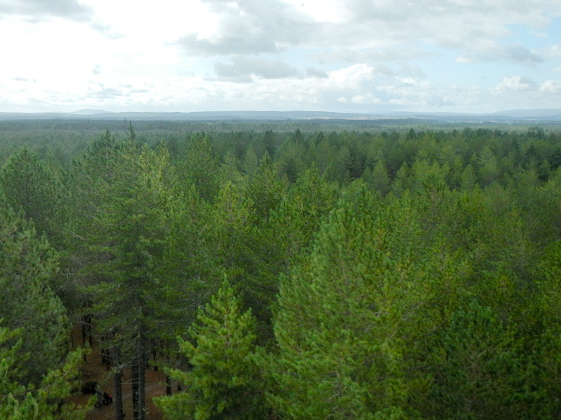
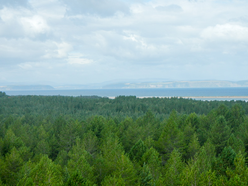
We turned back into the forest and climbed to its highest point (only 29m) where there’s a trig point. Of course when the trig point was originally erected, this was an area of shifting sands and there wasn’t a forest obscuring the view. Nowadays, in order to see the view, it’s necessary to climb the twenty metre high observation tower. From here we could see the Moray Firth and many mountains including Ben Wyvis and Ben Morven, both of which I hoped to climb within the next week. There was also a lot of forest in the view!
Our walk continued though the forest. We saw an area of blackened and burned forest – a notice explained that this was the result of a camp fire in mid-May this year. It had taken four days fire-fighting using a helicopter and fire appliances to extinguish the fire and much of the forest was closed for a week. A salutary lesson as to why fires are completely banned in the forest.

We passed some gravel pit pools before returning to the car park, passing a tree planted by the then Prime Minister Harold Wilson in 1969 to commemorate the fiftieth anniversary of the Forestry Commission.
We had planned another adventure on the same map in the afternoon – a visit to Randolph’s Leap, reputed to be a dramatic section of the River Findhorn where the river is squeezed through a narrow ravine. The paths are narrow and precipitous in places – sadly they had been officially closed in the aftermath of the storm.
Instead we drove round to the east side of the Findhorn Estuary (also on Map 27). The village of Findhorn was established by the late twelfth century. However, as at Culbin on the west side of the estuary, storms in the seventeenth century led to the original village being buried by sand dunes. The rebuilt village was flooded in the early 1700s so the current village is on a third site.

We walked to the end of the sandy spit. Notices explained that this spit is growing with sand deposition while the one on the Culbin Forest side is being eroded and shrinking.

Burghead, further to the east on the coast is actually on Map 28 but deserves a mention as the headland is the site of the largest Pictish Fort in Scotland.
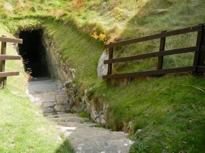
We also visited the mysterious well in Burghead – it may have supplied water to the Pictish Fort given that it is within the area of the lower ward. Alternative theories include that it was a bath house built by Romans or was a place of Pagan worship of the Gods of the Earth, with the tank used for ritual sacrifices, or was a Christian baptismal font.
Unfortunately our plans had been partially altered following Storm Floris, but it had given us the opportunity to see the east side of the Findhorn Estuary and walk to the end of the spit beyond the village.
