31 July 2025
This was part of Scotland where I hadn’t ever walked previously. Hence I wasn’t unduly surprised that I’d never heard of the Bennachie.
We parked in the Rowantree car park at the end of a minor road. It’s next to a quarry which is the only place in the World where the mineral macaulayite, believed to be the same mineral that gives the planet Mars its red colour, has been found. Formed from granite which has been weathered by tropical climates from before the last Ice Age, it is formed in the presence of water so if it does occur on the surface of Mars it could provide proof the planet can sustain life.
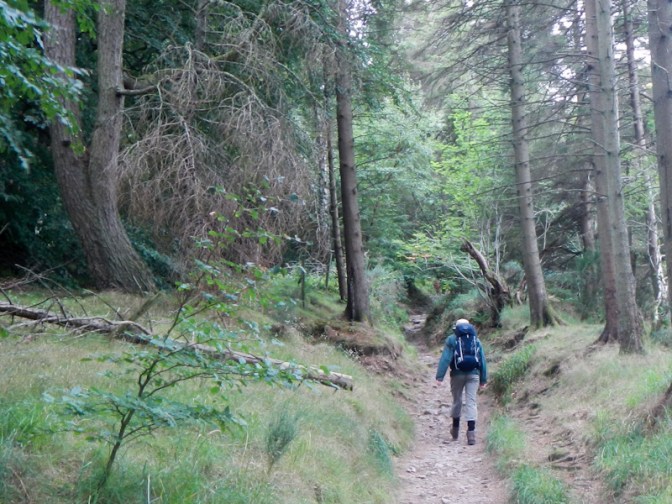
We weren’t heading for the quarry, but were following the initially rocky and uneven path ascending into the forest directly from the roadside car park. Although the first 100m or so was quite difficult to walk on, the path became gravelled after this, as were most of the paths on the route.
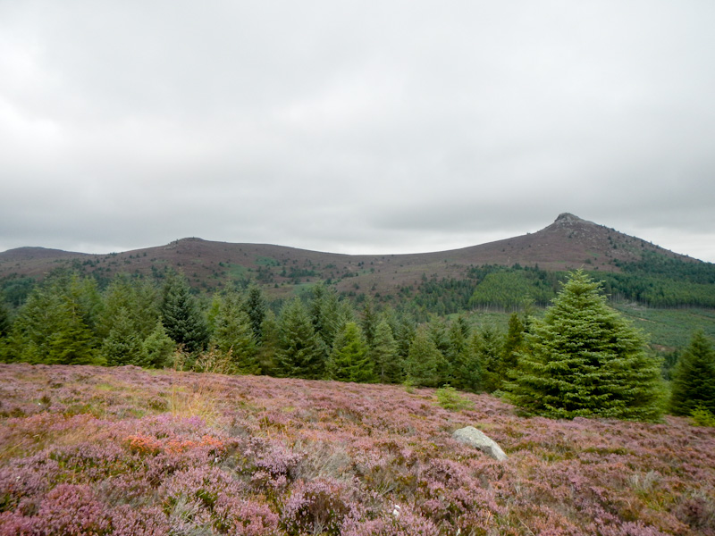
The path we were following through the gradually thinning forest is called Maiden Causeway and we soon saw views of our first objective – Mither Tap.

We passed a spring called Hosie’s Well; legend tells it is fed from the tears of a heartbroken soldier whose fiancée, believing he was dead after he had not returned from the Battle of Harlaw (actually he had been taken prisoner), married someone else. After several years, Hosie escaped from the prison and, on finding the fate of his ex-fiancée, had nothing to live for, died and was buried near the spring.

We overtook a couple who we had been steadily catching as we climbed and we saw two small groups descending from the summit direction.
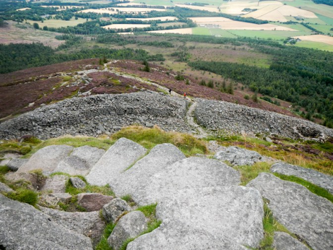
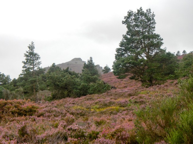
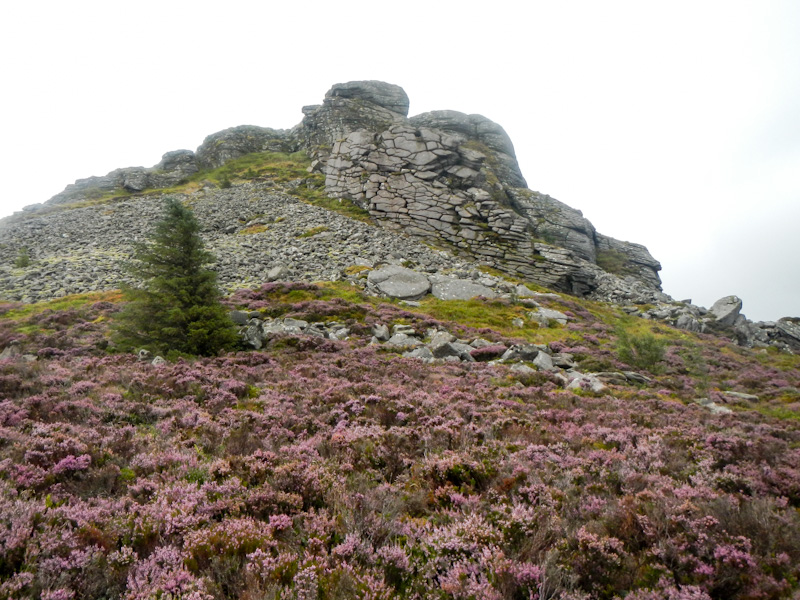
The final section to reach the top of Mither Tap was rocky with rough steps through the gateway of an Iron Age fort and past the walls followed by a bit of a scramble on to what was a very windy summit. There’s a trig point (518m), a view indicator and superb 360 degree views.
We walked slowly and carefully as we climbed down from the summit. Our path contoured around the summit cairn and then descended with a gradually easing gradient for a long way in a southerly direction.
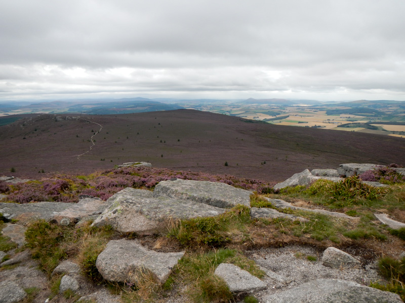
Eventually we reached a path junction at a saddle before contouring and climbing to Millstone Hill. I thought we had almost arrived but the path went around what initially seemed to be the summit and up the hill beyond that to the real top (408m). Although lower than Mither Tap, there were excellent views looking over the entire range of hills. We saw a man with two dogs.
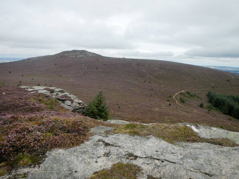
The route returned to the same saddle point from where we took a different path this time (part of the Gordon Way) going uphill through the forest. We ate lunch sitting on a stone near the side of the path. The path continued upwards but then levelled out to follow the side of the hill. It was a beautiful track, flanked by heather and with fine views to the south. Oxen Craig, the high point for the day, was to our right and we would be ascending that later but approaching from the west. We experienced our only rain shower of the day – we were fortunate as we had seen several rainy areas in the distance.

The path to the summit of Watch Crag (493m) was less obvious and rougher. However we were rewarded with further excellent views especially towards the south and west.
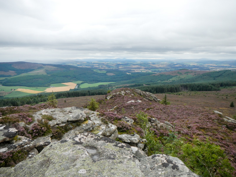
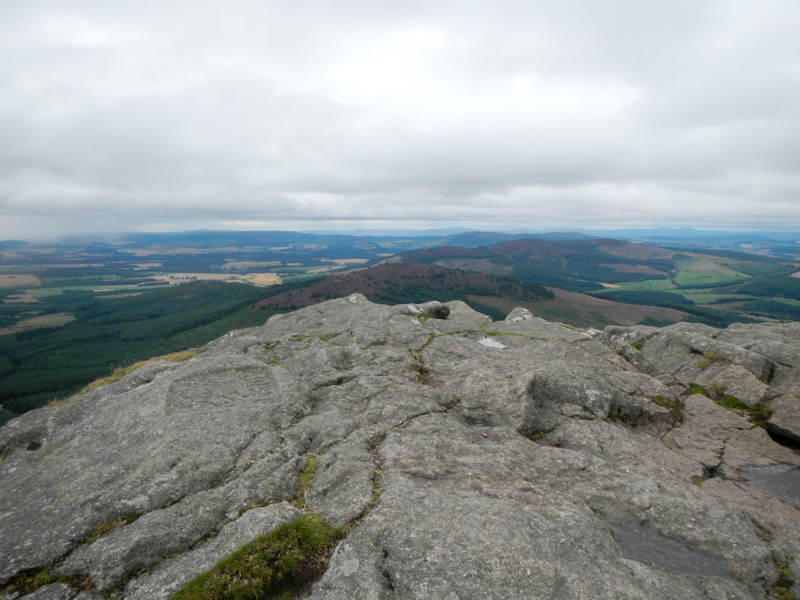
We had to retrace our steps across the top of the crag and then take a path straight up towards Oxen Crag. The path seemed to end suddenly with just vestiges of path amongst the heather and a very rocky section. The summit (528m) was very windy but there were good views plus a toposcope to help us work out what we were seeing.
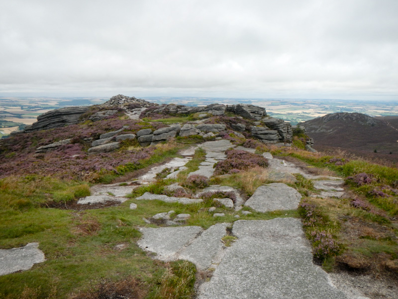
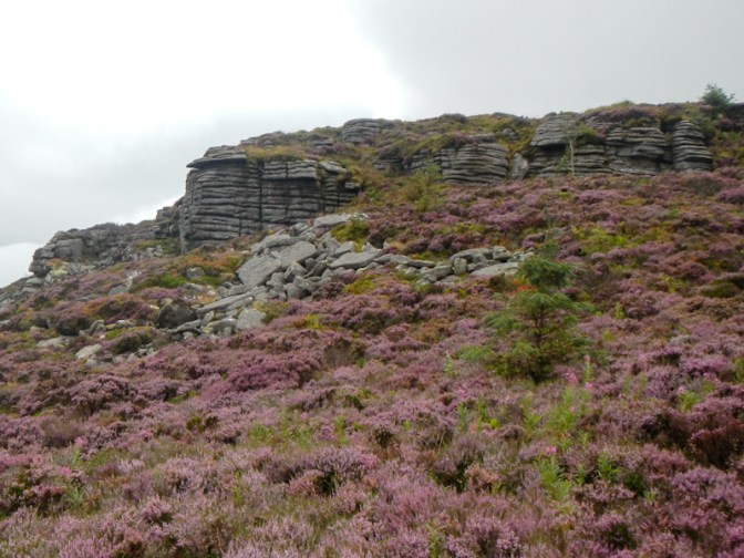
The rocks looked very similar to the tors of Dartmoor which isn’t surprising as both are granite landscapes. However in this area they are also known as “tops” or “taps”.
It was a much easier path that we had to follow across the moor and to ascend to our final top of the day at Craigshannoch (480m) from where we enjoyed another brilliant vista. There were more people in that area than we had seen all day but it still wasn’t crowded.

All that remained was to walk on distinct and easily descending paths for about 3km to return to the car park. We could see rain clouds and rain heading right for us. However somehow it avoided the area where we were walking!
This was a fine hill walk of just under eleven miles incorporating woodland and moorland scenery as well as spectacular views. We were fairly certain that most of those people we saw on the hill live locally. Afterwards when we explained to people only 45 miles away in Elgin where we had been, most of them had no knowledge of Bennachie. We had only discovered the hills in light of my project to have an adventure based on each of the Ordnance Survey 1:50,000 sheets. This was a superb “find”; to quote a late Lord Aberdeen “To Hell with your Alps, Rockies and Himalaya, Bennachie is the hill for me.”
