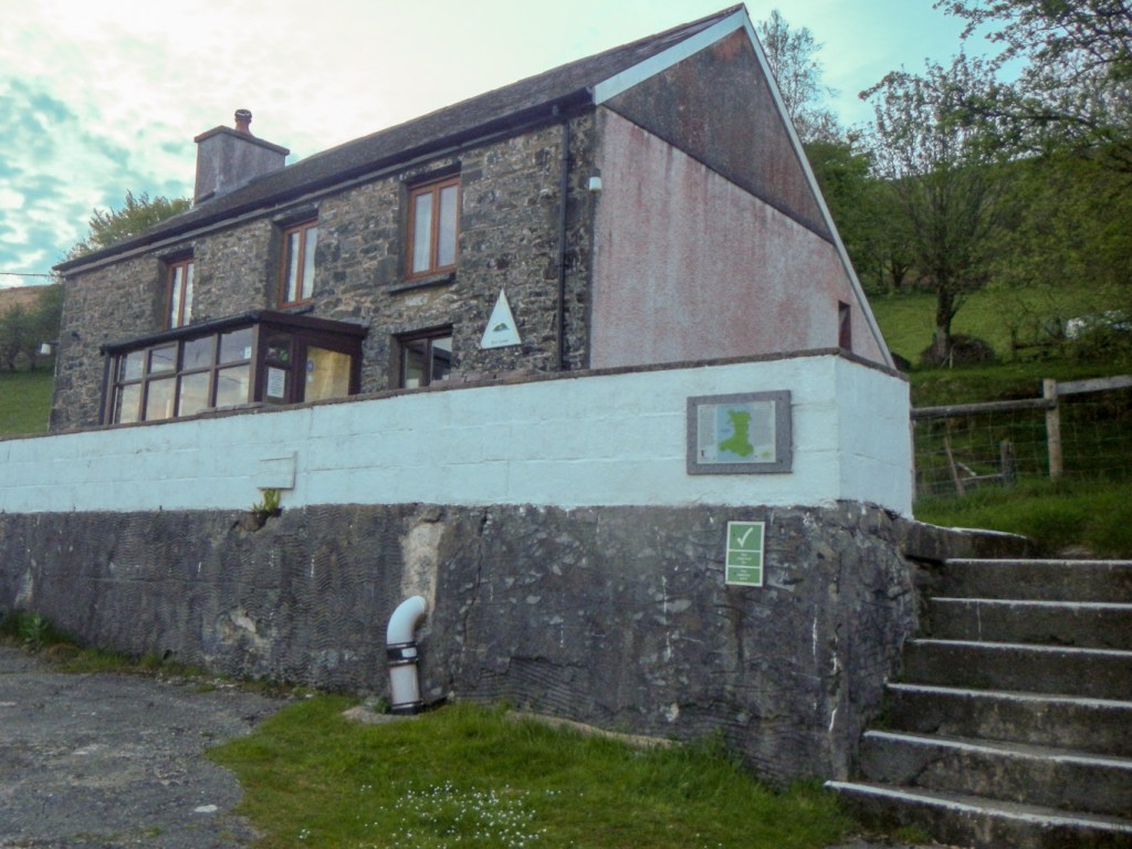
I was acting as volunteer warden at Ty’n Cornel, the most remote hostel in Wales, when my husband miraculously managed to track me down by e-mail. It was to let me know that, during National Map Reading Week (14-20 July), the Ordnance Survey was looking for Britain’s biggest map lover and he thought I should send my details.
I’ve been away from home enjoying adventures almost continuously since the middle of May (many blog posts in the pipeline!). However, fortuitously that week in between my wardening duties I actually had time to write and send in an application.
I told the selectors about my blog project started in 2020 with the aim of achieving an adventure based on each 1:50,000 OS paper sheet. At the time I’d enjoyed 154 adventures although now, following my recent expedition to Scotland, the total stands at 167.
In addition I mentioned my historic paper (and cloth) map collection started in January 2008 when I bought a ¼ inch 1946 series 4 OS map of Orkney and the Shetland Isles from a second-hand bookshop. I lived in Shetland for a year in 2004-5 and I was interested in seeing the changes that had happened over the years. I have gradually added to my collection, initially concentrating on maps of places and areas I had visited. Actually I have been to many parts of Great Britain and my adventure on every 1:50,000 sheet project means that eventually I will have been almost everywhere even if only briefly.
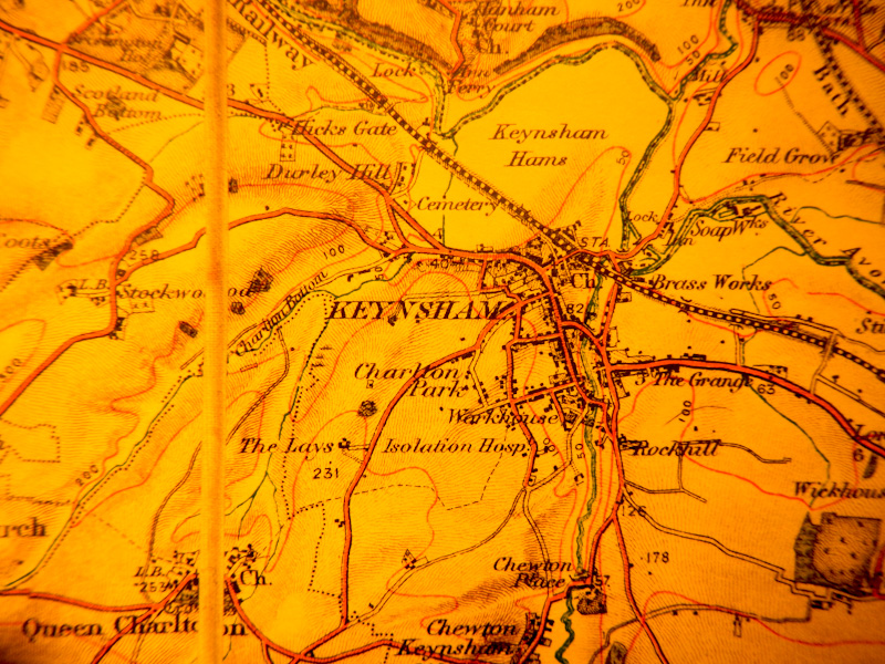
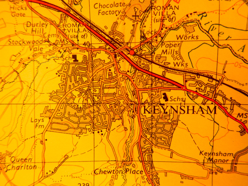
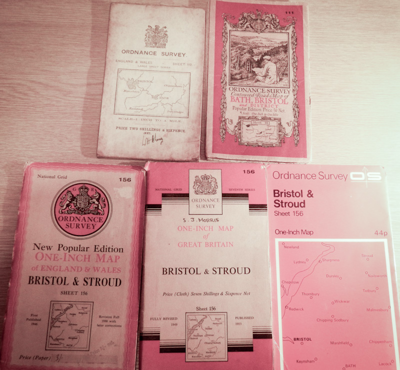
My oldest map is a cloth 1905 OS revised new series map of Pembroke in remarkably good condition for its age – which only cost £4 in 2023. My newest are some of the Series 7 maps with red covers from the 1970s. I haven’t extended my collection to the metric scales. When I submitted my entry I had 659 Great Britain historic OS maps series 7 and earlier, seven OS of Northern Ireland and two Ordnance Survey of Ireland maps. I added to that collection while I was in Scotland recently, buying six second hand maps from a bookshop in Aberdeen.
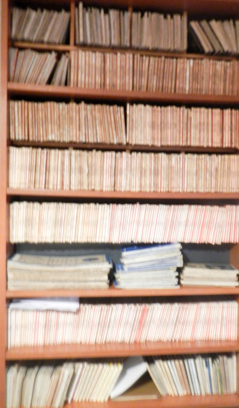
I also own (with my husband) approximately 250 up-to-date metric OS maps that are of course more useful for navigation nowadays. So in total I have over 900 OS paper and cloth maps. I must also confess to owning a number of other UK maps such as the lightweight and waterproof Harvey’s maps in addition to using electronic Ordnance Survey mapping quite often when I’m out and about.
I was in Scotland and had forgotten all about my submission when the e mail from OS arrived on 11 August to tell me that I had made it to the shortlist of six out of many hundreds of entrants. The well-deserved champion owns a phenomenal 1,885 paper OS maps and has been collecting them for sixty years. The link to read about the winner and the short-listed entrants is: https://www.ordnancesurvey.co.uk/news/britains-biggest-map-lover-revealed
The link is definitely worth looking at – there are some fascinating stories about collecting maps and about what people have done with their maps.

Thats fantastic! What a great achievement 👏.
LikeLiked by 1 person
Thank you!
LikeLike