29 April 2025
I was the only person who alighted from the train at Brandon Station; in fact the only part of the town I saw was the station at the north end as I headed across the busy A1065 to walk into the north part of Thetford Forest.
This area is “The Brecks”, a landscape characterized by the pines of Thetford Forest as well as heathland, rare wildlife, and very blue skies in addition to being one of the driest places in UK. Actually on the day I visited, I think the whole of UK was dry and sunny with blue skies!
Before I arrived in the forest, I walked across some tracks on farmland. Despite being flat, it was hard going trekking on the dry and sandy soil. The largest concentration of rabbit warrens in UK for farming rabbits for their valuable meat and fur was in the Brecks as the soil is easy for making burrows. I also couldn’t fail to notice the flint stones. As I was to learn, even from Neolithic times, flint has played a major part in the history and landscape of the area.

It wasn’t long before I entered the forest itself. Thetford Forest is the largest lowland pine forest in Britain (18,730 hectares). Planting was started in the 1920s as a strategic timber reserve. However open areas of heathland remain and there are also areas of broadleaf mixed woodland. The forest is an important habitat for endangered wildlife such as red squirrel; I wasn’t fortunate to spot any but I did see a muntjac deer at the forest edge as I approached the open heathland around Grime’s Graves.
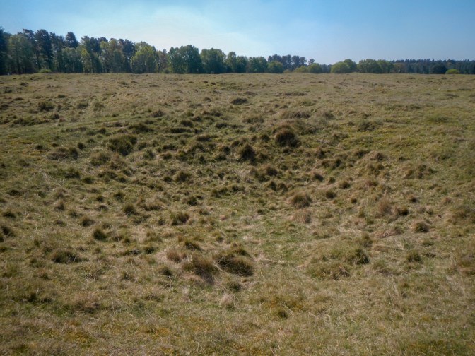
A visit to the prehistoric Grime’s Graves was actually my main objective for the day and I certainly wasn’t disappointed. I approached across what can be best described as a grass covered lunar landscape. The mounds and hollows are the filled-in remnants of over four hundred mines and quarries dug in the area in two main phases between around 2,650 BC and 1,450 BC.
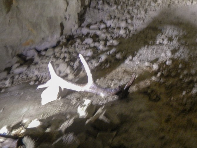
As was recommended by the friendly and helpful staff members, I started my exploration by viewing the exhibition to learn more about the site. It’s even encouraged to handle some of the exhibits which include picks made from the antler of red deer. The commentary explained that the long section was the handle and then at the other end there was a protrusion used for hammering and a longer pointed protrusion used for breaking up and prising out pieces of stone.
There are also multiple examples of Neolithic axe heads – polished stone axes were the mines’ main product; however weapons such as arrow heads and also ceremonial objects were also amongst the artefacts made and on display.

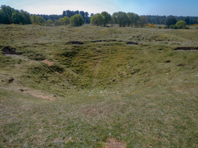
My visit continued on ground level, following a trail around the site to see the remnants of the in-filled shafts as well as Grimshoe Mound which gives the site its name. The Anglo-Saxons believed it was the burial mound (hoe) of Woden (also known as Grim), a god of war and lord of the dead. Graves (meaning hollows or earthworks) was used to describe the surrounding landscape.
I also saw Greenwell’s Pit from the surface. This is the oldest, deepest and best-preserved pit excavated so far at Grime’s Graves. The 12 metre mineshaft is still open but only accessed by specialist groups although there is a virtual tour on-line which is also available to view in the exhibition centre. This pit was partially excavated by Canon William Greenwell between 1868 and 1870. He dug deeper than previous archaeologists and was the first to realise that the hollows on the ground were the result of prehistoric flint mining. His discovery of a greenstone axehead allowed him to date the mine to the Neolithic period.
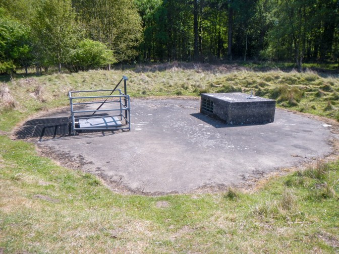
The highlight of the visit was to don a hard hat and descend nine metres below ground down a fixed ladder into Pit 1. This was the mine excavated initially in 1914-15 by Dr Arthur Peake. A multi-sensory digital projection runs showing and describing the formation of the layers of rock. The prized, high-value and jet-black flint was formed millions of years ago by the debris of sea creatures on what was then an ocean bed.
The audio-visual show also depicts scenes including the men, women and children who lived and worked at Grime’s Graves thousands of years ago.
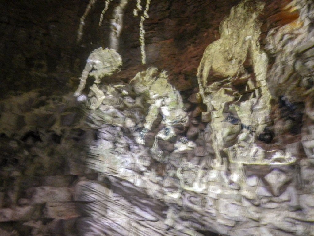
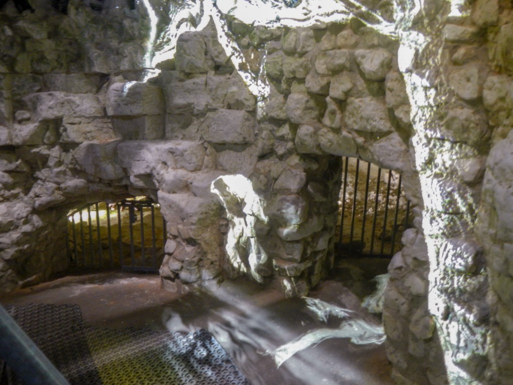
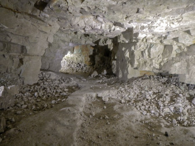
I watched the pictures projected onto the roughly hewn stone walls and then spent some time crawling into the entrances of the chambers running off the main shaft.
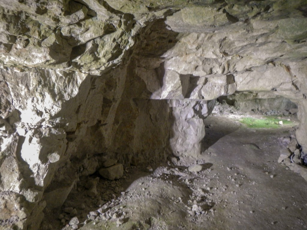
This Neolithic site is as impressive and is significant below ground as Stonehenge, built at a similar time, is above ground.
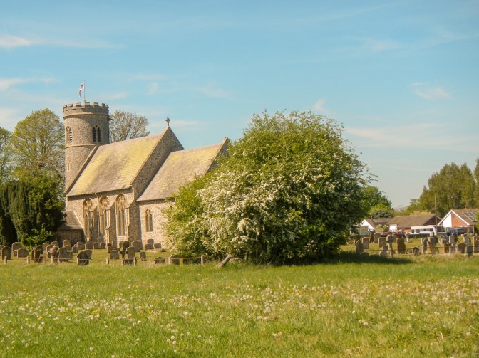
I walked back through the forest and the Brecks to Brandon, mainly following a different route. I passed the flint built St Mary’s Church at Weeting, one of a hundred and thirty-three existing round tower churches in Norfolk. The tower is Victorian but apparently has some late medieval stained glass which I couldn’t see as the church was locked.
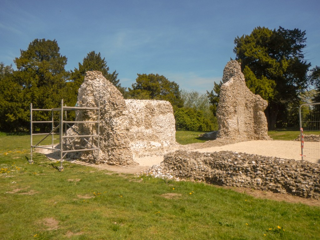
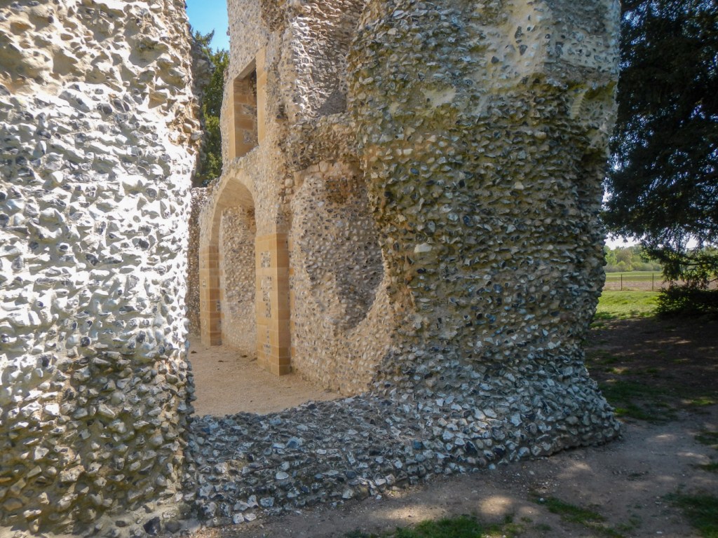
The church is close to the late twelfth century ruins of the fortified manor, Weeting Castle, constructed with flint and cut stone. The moat was added in the mid 13th century in an attempt to demonstrate the wealth and power of the castle’s owners.
The walk between Grime’s Graves and Brandon Station is through an interesting landscape of forest and sandy heathland. However undoubtedly the highlight of my adventure was the opportunity to visit and descend into a flint mine that was dug over 4,500 years ago. This is the oldest known human-made underground space in England. The mines are a feat of great engineering skill fashioned using only hand tools and demonstrating a sophisticated geological knowledge of the earth. There is so much that we do not know or understand about our Neolithic ancestors. It is truly awe-inspiring!
