14-15 April 2025
I decided to omit the first part of The Limestone Way from Rocester, especially as I have memories of getting a bit lost on it, meeting some cattle and ripping my waterproof rucksack cover as I escaped by diving under a barbed wire fence. This all happened in 2013 on my end-to-end walk but the memory lingers.
Hence I opted to start from the village of Thorpe. Actually in retrospect I think I would have constructed my own route at the beginning so as not to miss beautiful Dove Dale which is nearby but isn’t included on the Limestone Way. However, I guess it’s swings and roundabouts as I might have omitted other things such as visiting the beautiful estate village at Tissington if I’d walked north up Dove Dale.
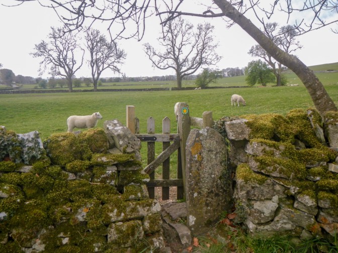
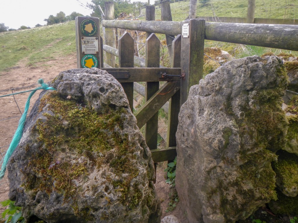
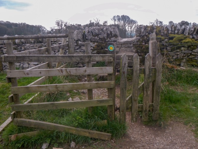
I hadn’t walked far before I realised that I was going to spend a lot of time opening and closing very small gates and squeezing through narrow gaps. I was pleased that I was carrying a day sac and not a huge backpacking rucksack which would have made negotiating the gateways a struggle!
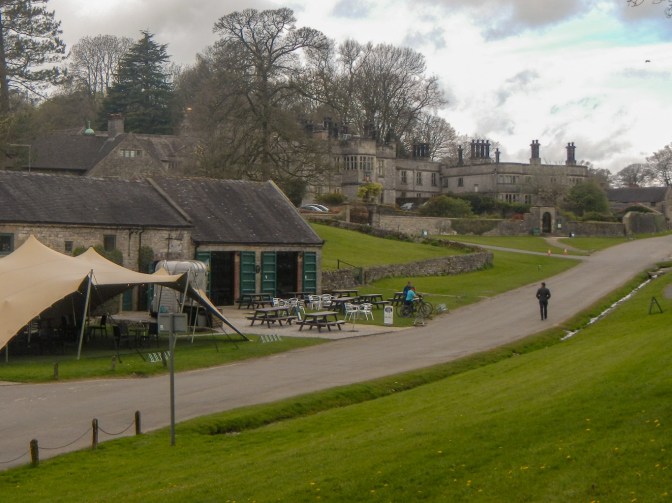
Tissington is a beautiful village, famous for its annual well dressing displays at each of its six wells starting on Ascension Day and lasting for a week.
The Tissington Estate has been in the hands of the FitzHerbert family since Elizabeth I was on the throne although the current hall was built slightly later by Francis Fitzherbert in 1609.
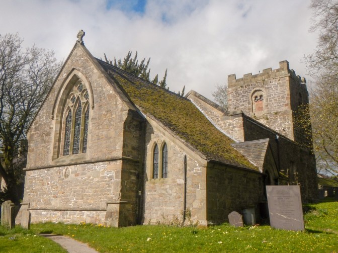
I visited the church (St Mary’s) and discovered that Sir Richard FitzHerbert, the ninth Baronet, had been installed as High Sheriff of Derbyshire in a service in the church less than two weeks previously. The church was built in Norman times, shortly after 1100. There are many monuments to the FitzHerbert family.
I left the village and crossed a disused railway line, now a bridleway before reaching a farm track.
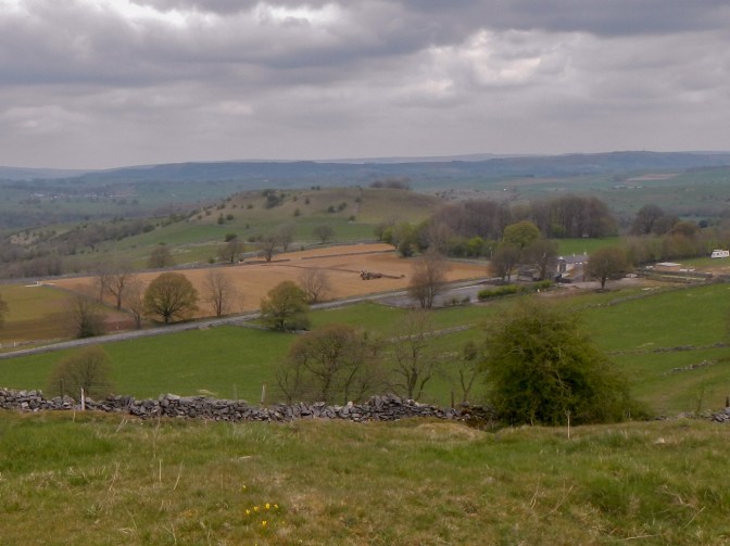
A momentary lack of concentration as I was looking at the wonderful view and I missed the place where the path left the farm track. This wouldn’t have been a problem except that I met the farmer’s wife driving a quad bike up the track and she asked me whether I was lost. Of course I realised immediately that I had made a very silly mistake but I’m not sure that she was convinced and she wanted to explain the onward route in detail.
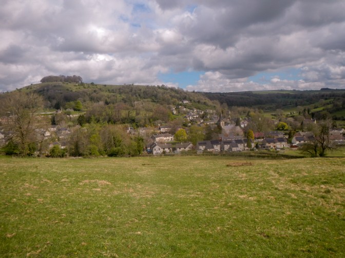
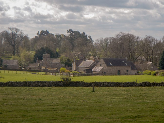
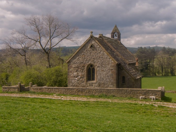
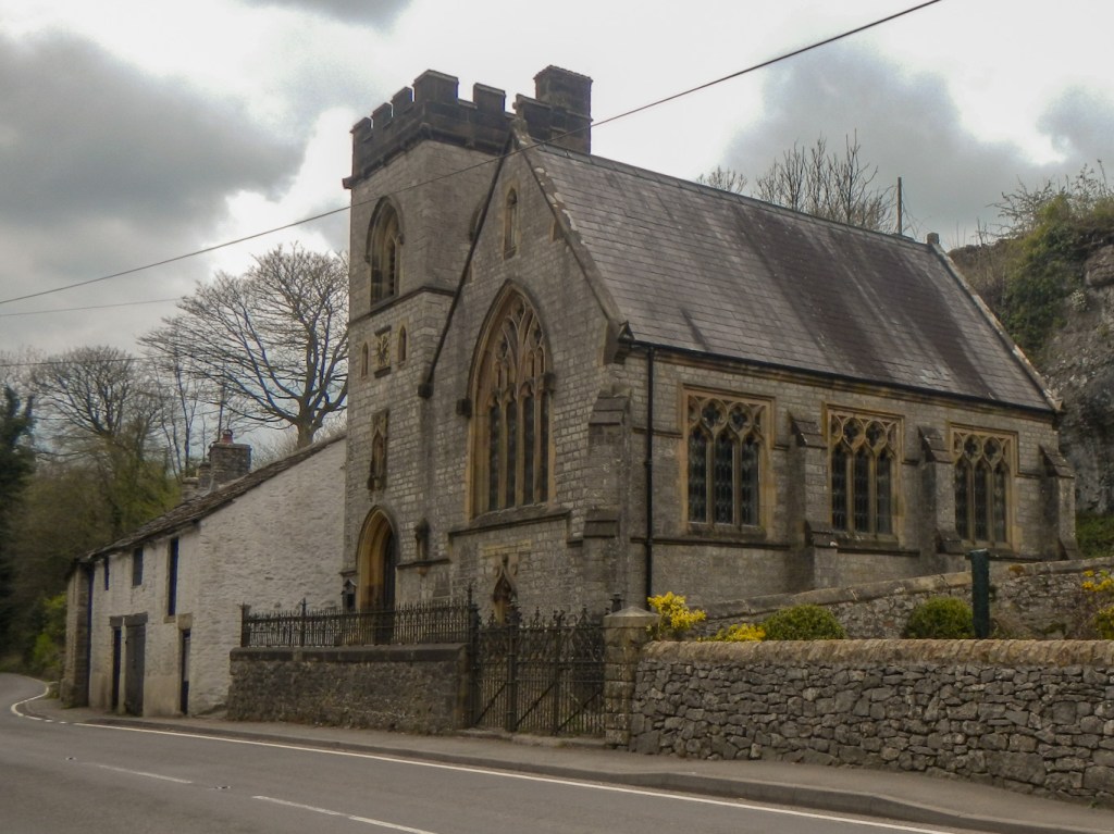
I reached Parwich where I was more careful about checking the route. I am sure that the villager intended to be helpful, but checking my route on a map doesn’t mean I am lost! Soon afterwards I just about bypassed the small village of Ballidon, apart from its church standing separate from the rest of the buildings. In fact the original medieval village was made up of houses along two main streets, one on the route of the present road and the other by the Church.
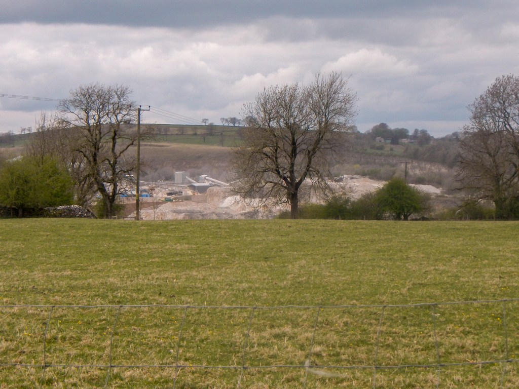
The main activity in the area apart from farming appears to be a large Tarmac quarry which continues to quarry and supply high quality aggregates. However the quarry is on the far side of Ballidon from the church. I just noticed it as a fairly large “white patch” on the map.
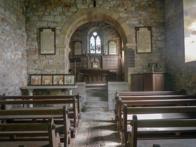
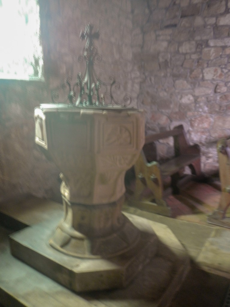
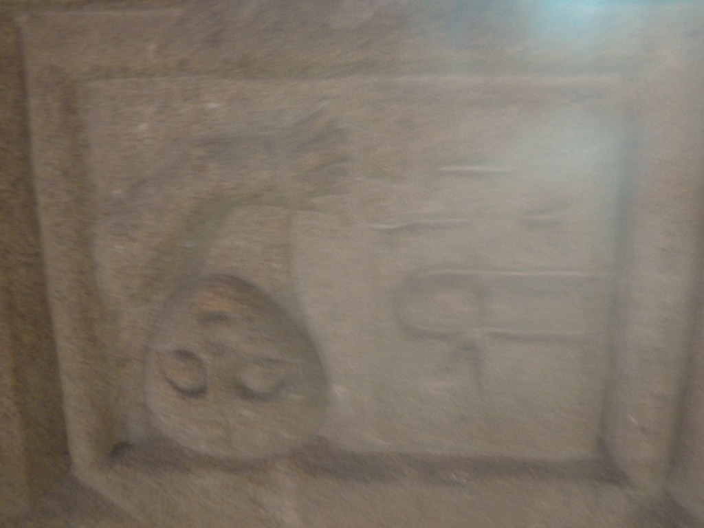
The present very early 12th century building with later remodelling mainly in the nineteenth century is Grade II listed but is currently a redundant Anglican church with an uncertain future and under the care of “Friends of Friendless Churches”. The fourteenth century font is of particular interest with interesting carvings including a man with a book carved upside down. The light near the font wasn’t good for photos….
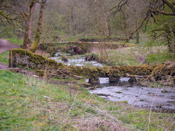
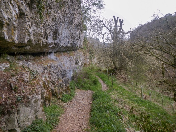
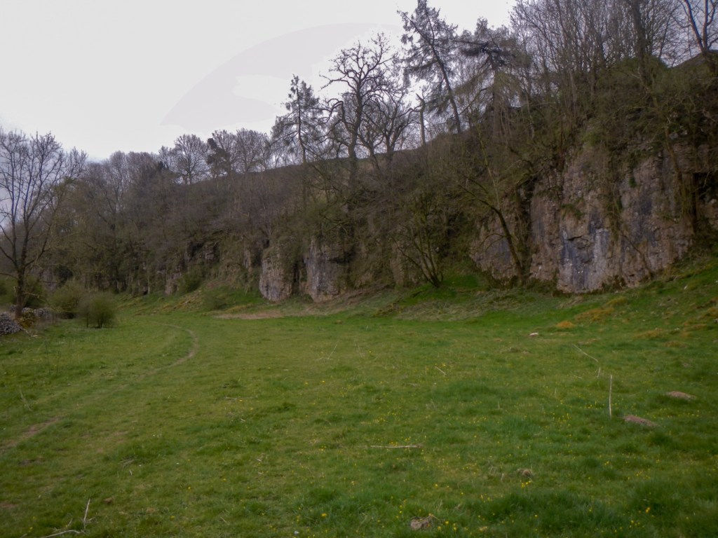
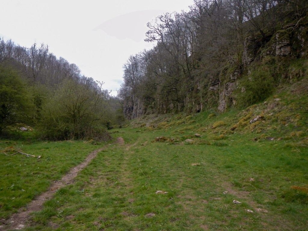
The route continued past some limestone outcrops and then close to Grangemill Quarry. This is a huge working quarry.
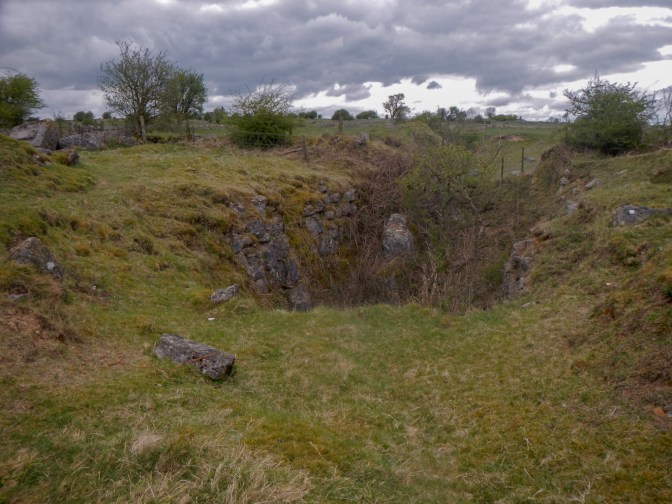
Soon I arrived in an area with many old mines. This was Bonsall Leys lead mines. The area is on the National Heritage List for England as a Scheduled Monument. Lead mining took place there from the 1540s to the 19th century, and the associated field remains are typical of lead working from extremely shallow ore bodies. The site is unique in its representation of intensive, small-scale and low technology lead working in post-medieval Derbyshire.
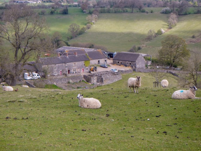
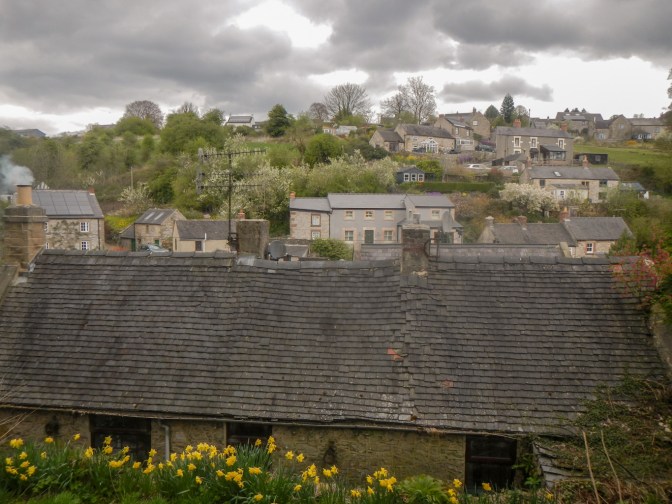
The village of Bonsall seemed to be almost deserted, one of the few signs of life being smoke emitted from the chimney of one of the small cottages. Many of the cottages were reminiscent of mining areas. It is very hilly! In the past, in addition to lead mining, the area was important for frame knitting carried out as a cottage industry.
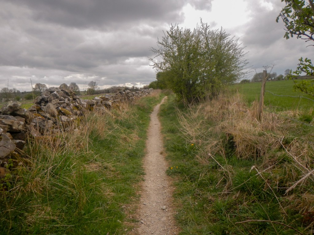
More narrow gateways followed and some ancient byways.
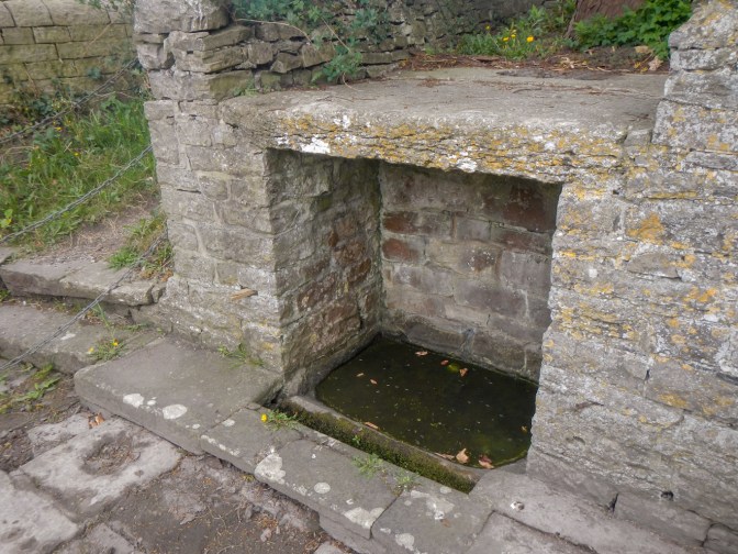
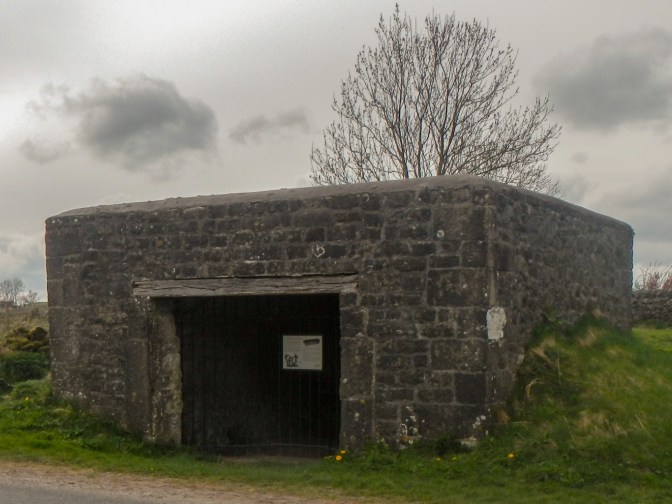
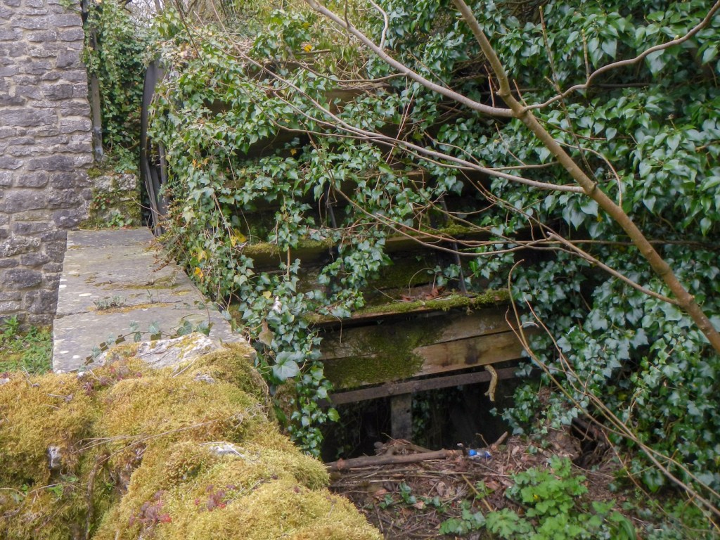
The area shows further evidence of historic lead mining including a lead ore house. It was used like a “safe” to deposit lead and would have had a chute for depositing the lead as well as a vaulted roof for security.
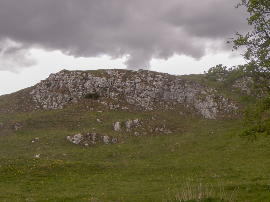
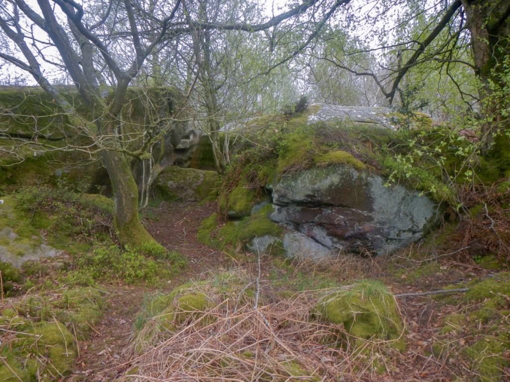
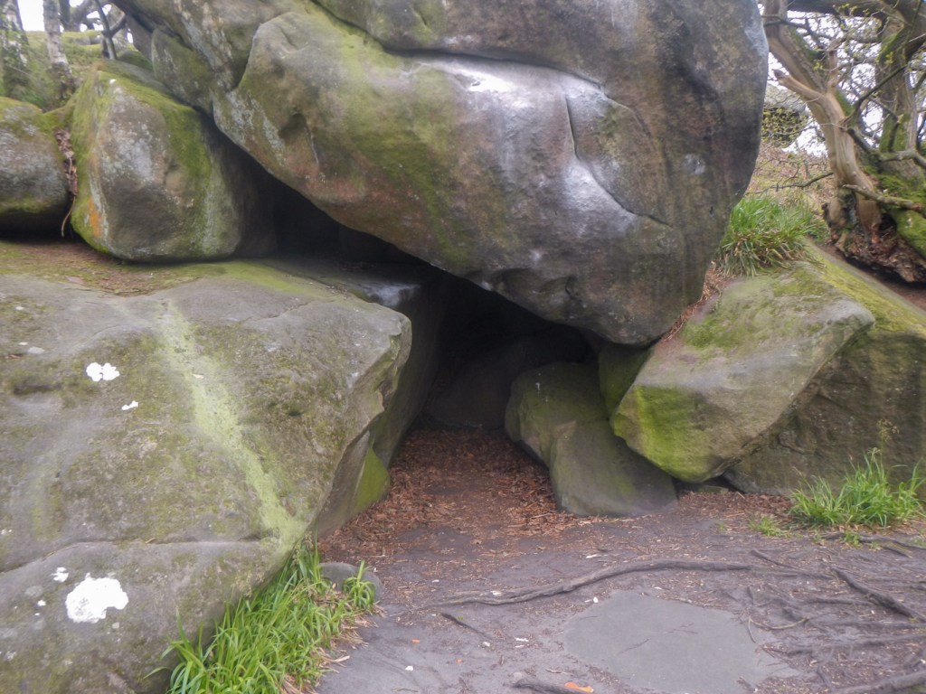
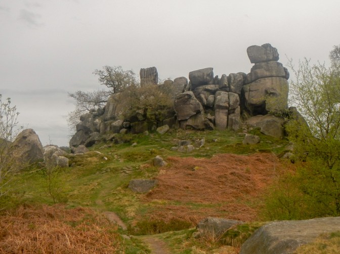
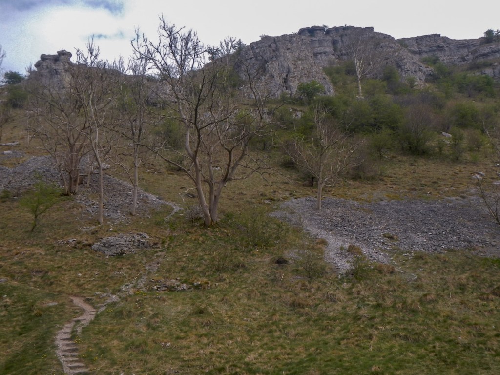
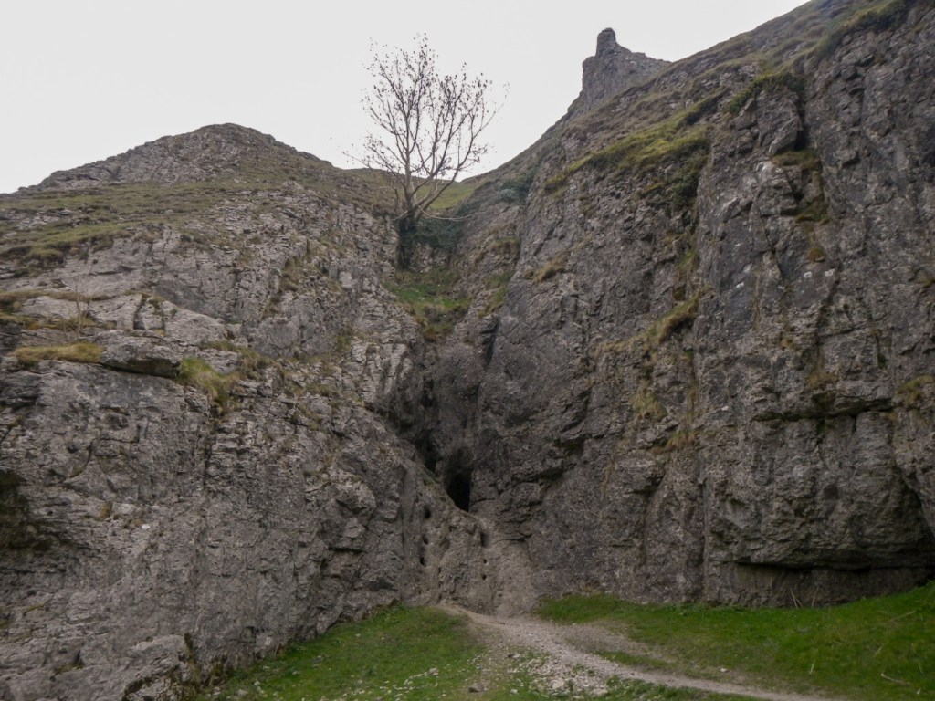
The route continued over farmland with small stone-walled fields and then along narrow lanes. I climbed another hill to reach some large grit stone outcrops – one on each side of the path. I was pushed for time as my husband had set a deadline for my arrival in Youlgreave but I was determined to divert to visit both sites. The first that I visited includes a Hermit’s Cave. Unfortunately I hadn’t researched it beforehand so I found a number of what could have been small caves in the rocks and I didn’t realise until afterwards that I was looking for a larger cave protected by a stone wall and iron railings.
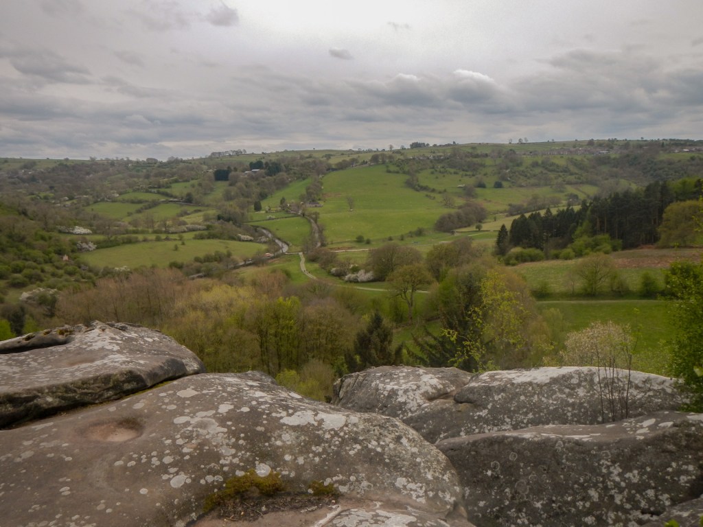
I followed this short exploration with a detour on the opposite side of my path over to the rocks known as Robin Hood’s Stride (I thought I had left Robin Hood behind at the end of the Robin Hood Way!). However, I couldn’t miss seeing the two tall rock chimneys which legends tell that he jumped between.
In this area the Limestone Way follows part of the track of The Portway, an ancient trackway said to have been in use from the Bronze Age right through until medieval times.
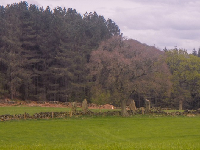
It was rather a rush to get to Youlgreave in time for my agreed pick up time. However I did have time to notice part of a stone circle as I walked near it.
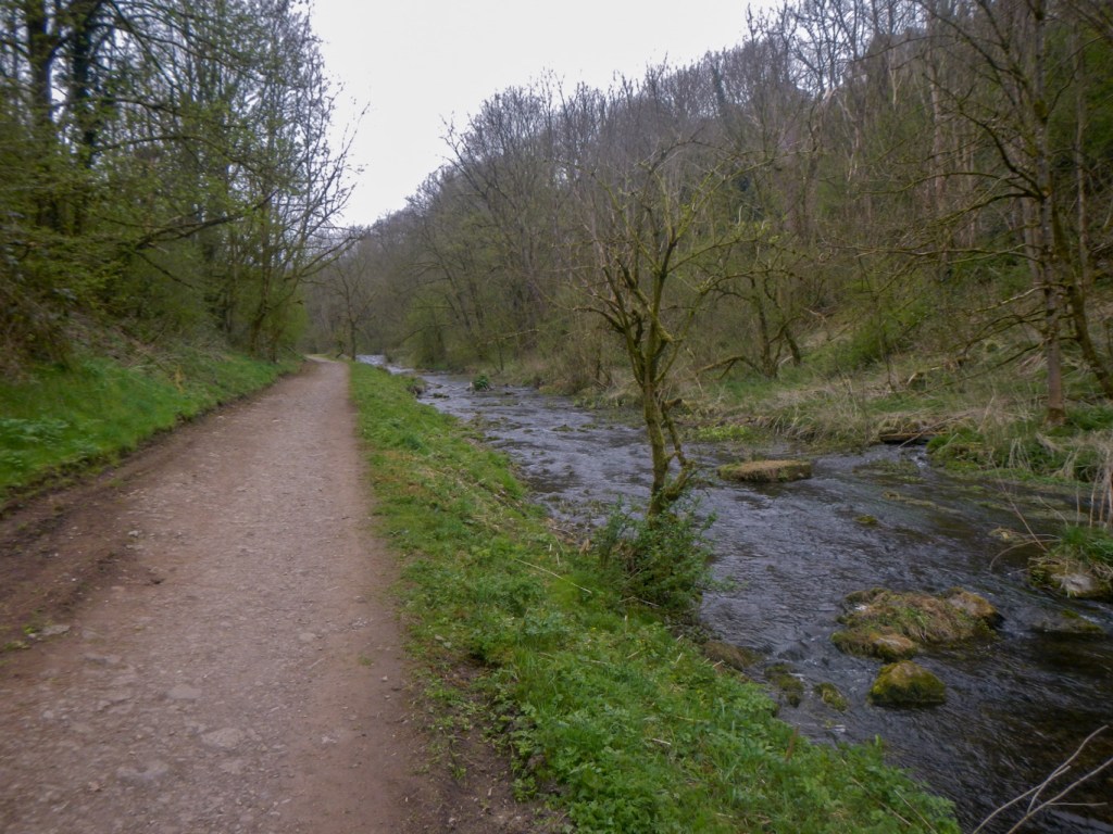
Soon I was walking along the bank of the River Bradford in Youlgreave before striding up the steep hill past the community hall to the main road – I was just within my time limit!
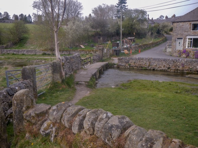
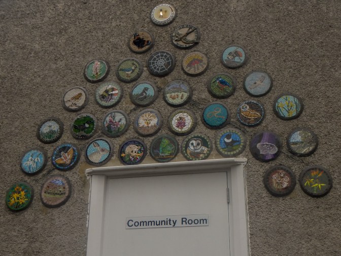
The next morning, I walked from where I had been dropped off down the hill past the community hall. I had time to stop and admire the thirty five roundels installed under the auspices of the British Association for Modern Mosaics on an outside wall of the community room .
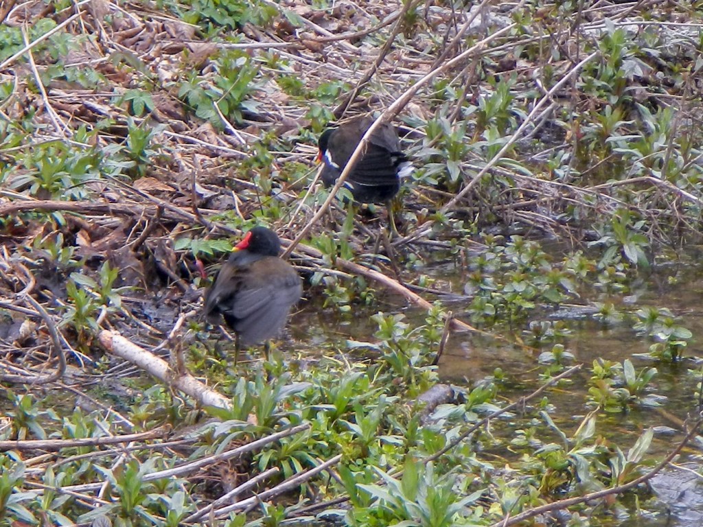
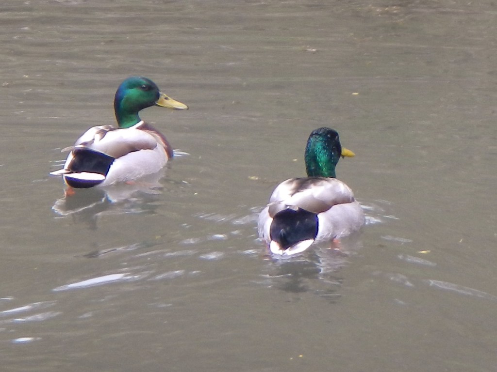
Once on the riverbank, I had time to look at the moorhens and ducks rather than race along as I had done at the end of the previous day.
I crossed a footbridge then climbed steeply to the road.
I avoided a bovine that looked rather overactive by keeping on the road rather than cutting a corner on a field path. Subsequently the path went off road anyway and I passed some more disused mine workings.
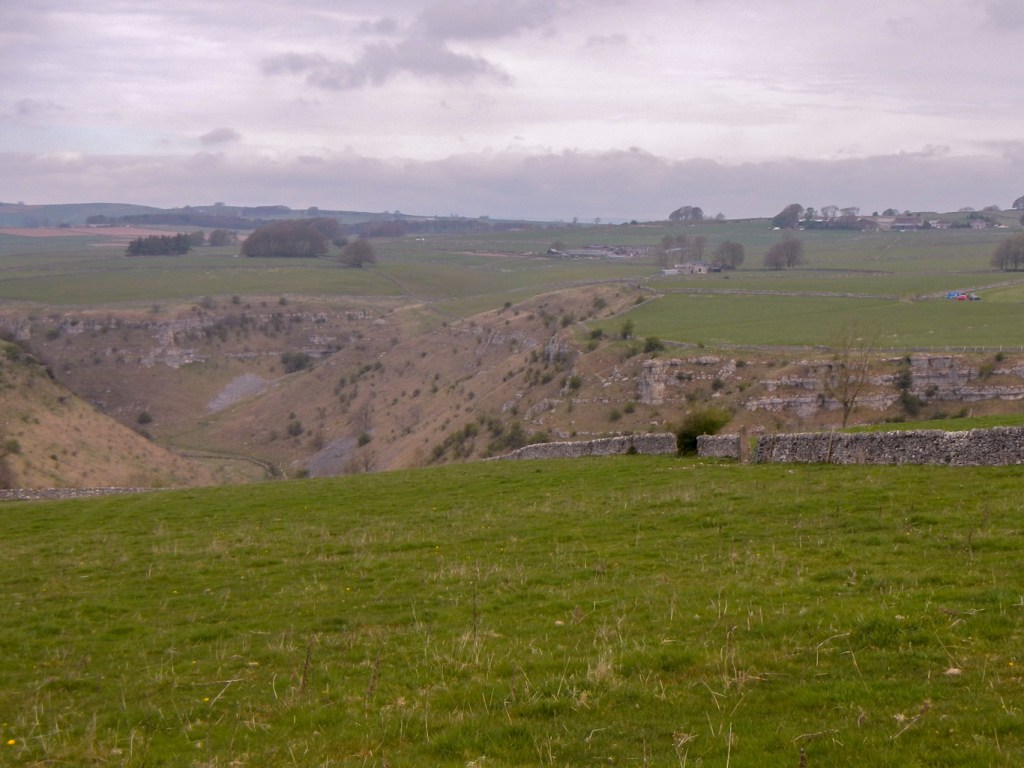
The route descended steeply into Cales Dale and I diverted for a few hundred metres to look at Lathkill Dale, one of the five separate limestone valleys making up the Derbyshire Dales National Nature Reserve. It was indeed very scenic.
In retrospect, I realise that I could have walked up the dale on a footpath to re-join the Limestone Way at Monyash. However, I retraced my steps back to the route that I was following and crossed more farmland. From Monyash, the route followed tracks and paths (past more disused mines) to Flagg.
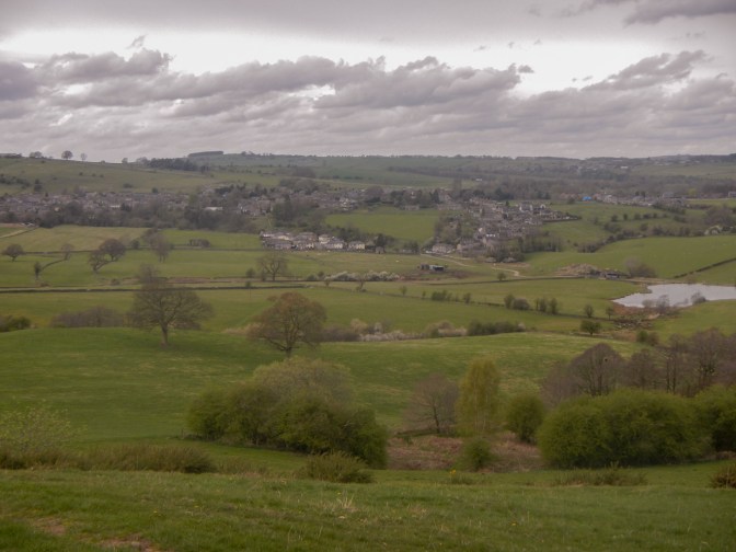
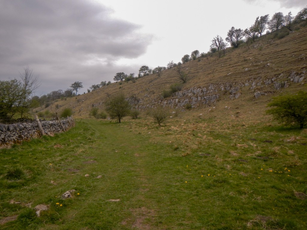
From Flagg, it was necessary to walk on a road but there was very little traffic. The route continued afterwards on a byway / track and I enjoyed views of a prominent hill which has archaeological evidence for medieval cultivation terraces.
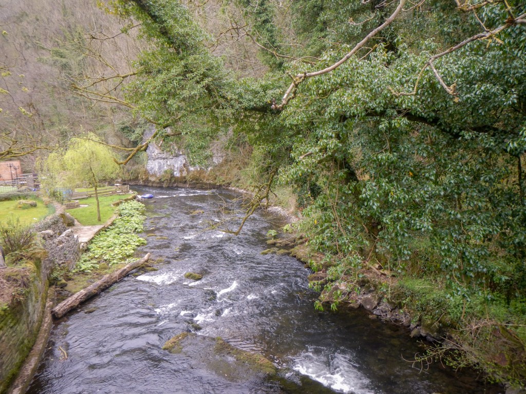
The Limestone way reaches the B6049 in Miller’s Dale, a pleasant looking village on the bank of the River Wye, although it’s a pity that it has such a busy road running though.
I continued to follow the Limestone Way route steeply up the north side of Miller’s Dale. Again I suspect that a better route choice would have been to follow the footpath up Monk’s Dale (a tributary of Miller’s Dale), especially as Monk’s Dale is one of the five valleys making up the Derbyshire Dales National Nature Reserve. In retrospect I am annoyed that I didn’t notice this “improvement” that I could have made on the route.

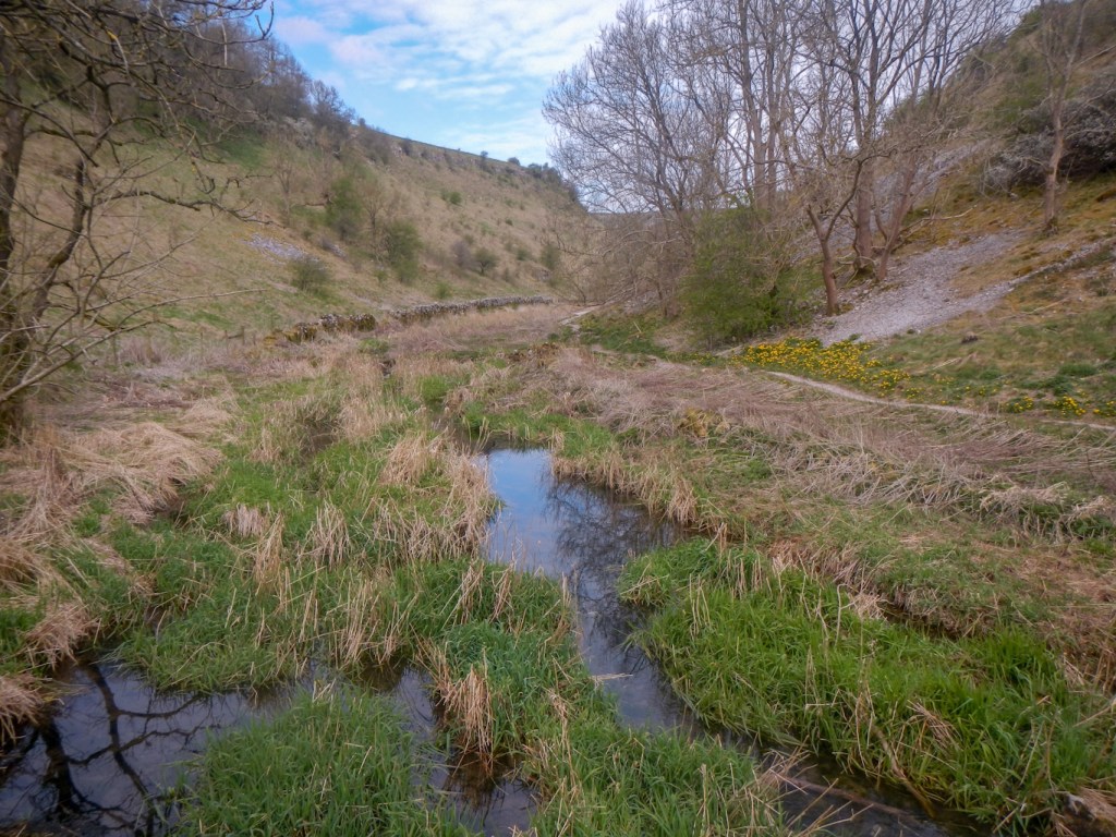
In fact The Limestone Way turns west and reaches the top of Monk’s Dale so I’m not sure why it doesn’t just go up Monk’s Dale anyway. From this point, I walked up Peter Dale (unspoilt and a little used path as far as I could see) and reached Dale Head where there is a minor road crossing to walk into Hay Dale, another of the five dales making up the Derbyshire Dales NNR.

Having left Hay Dale, further straightforward walking on tracks and minor roads followed all the way to “The Cop” – an isolated house. This was where I left Sheet 119 to travel on to sheet 110 in the Landranger series. However this isn’t my adventure for 110 as I have other plans!
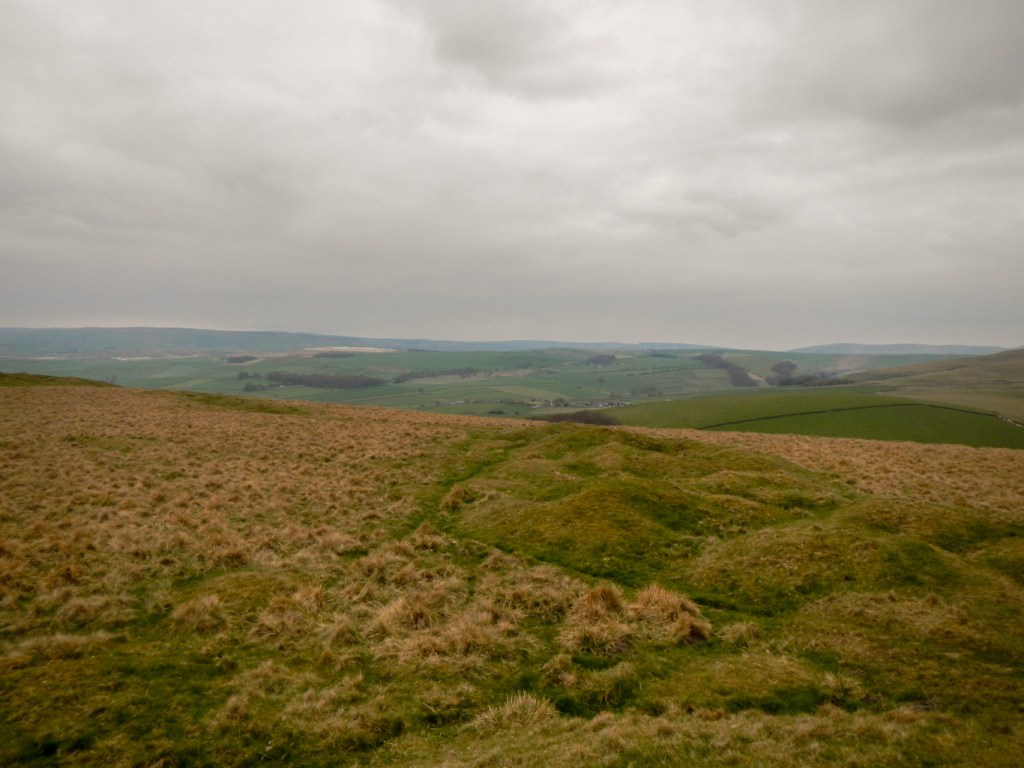

I continued over open moorland and diverted off the path to reach the 471m trig point from where I had fine views. I walked rapidly over springy turf on the plateau.
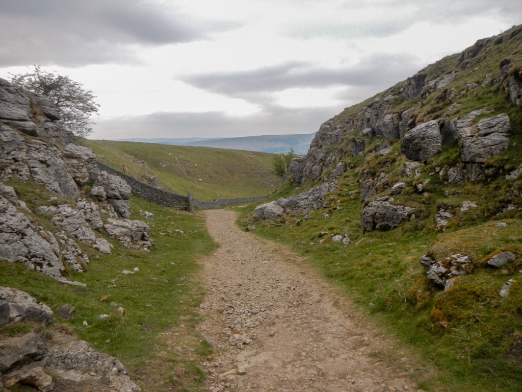
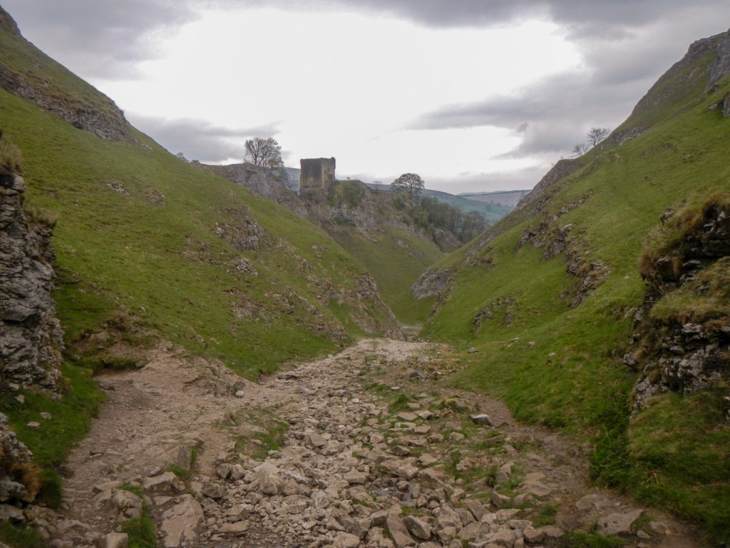
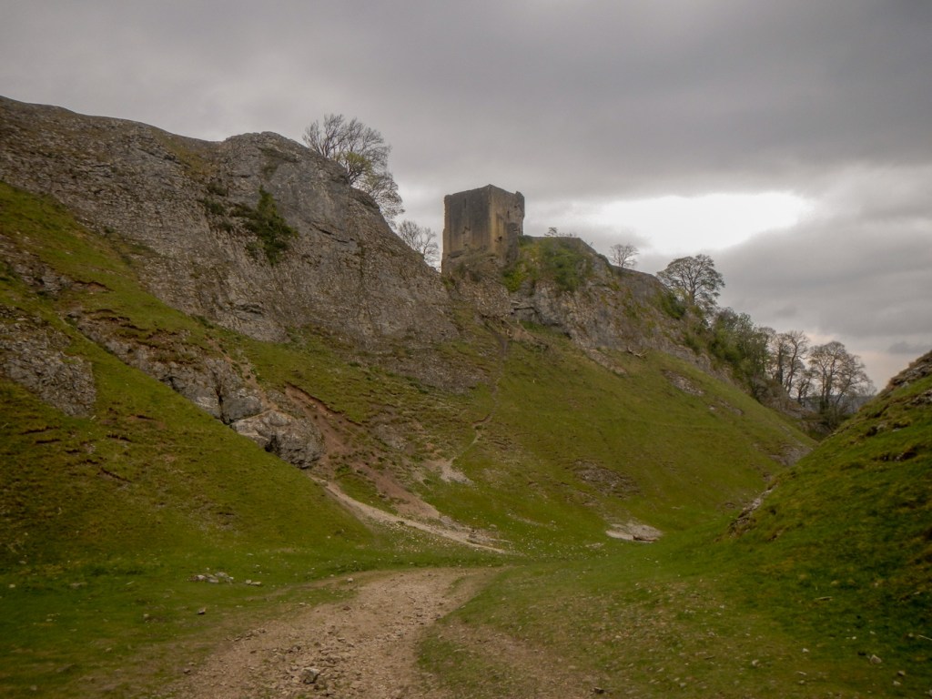
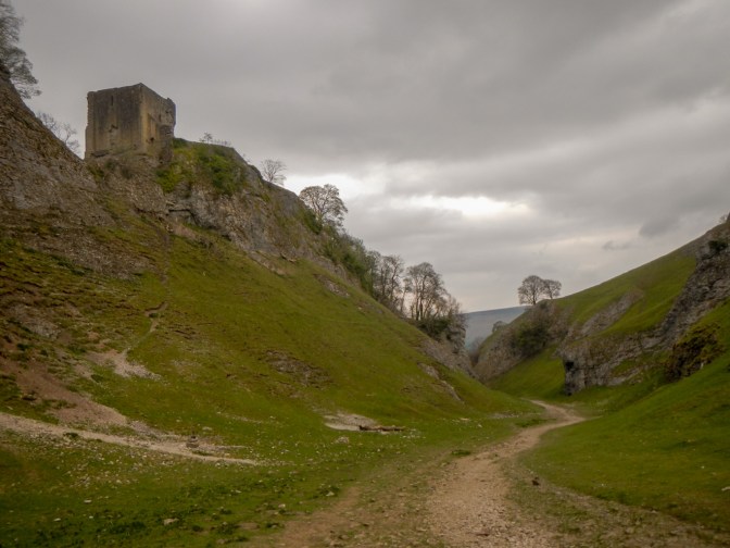
There followed a slow descent over steep and rocky ground down Cave Dale. It was hard work on tired legs at the end of a long day. However it is a very picturesque dale, especially with the views of Peveril Castle perched high on the west edge of the steep sided valley. The walk down the dale into Castleton made a dramatic and scenic end to the expedition.