3-4 April 2025
My expedition was planned to start in Caistor and proceed along the section of the Viking Way footpath over the Lincolnshire Wolds to Horncastle; hence spending two days walking between two Roman towns across an area occupied in the past by Norse invaders. The route also crosses the highest parts of Lincolnshire on the edge of the Wolds.
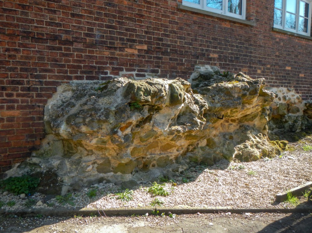
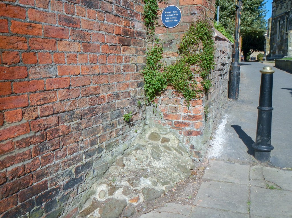
There isn’t much to see of Roman Caistor, but I found a section of the wall to the south of the churchyard of the Church of St Peter and St Paul.
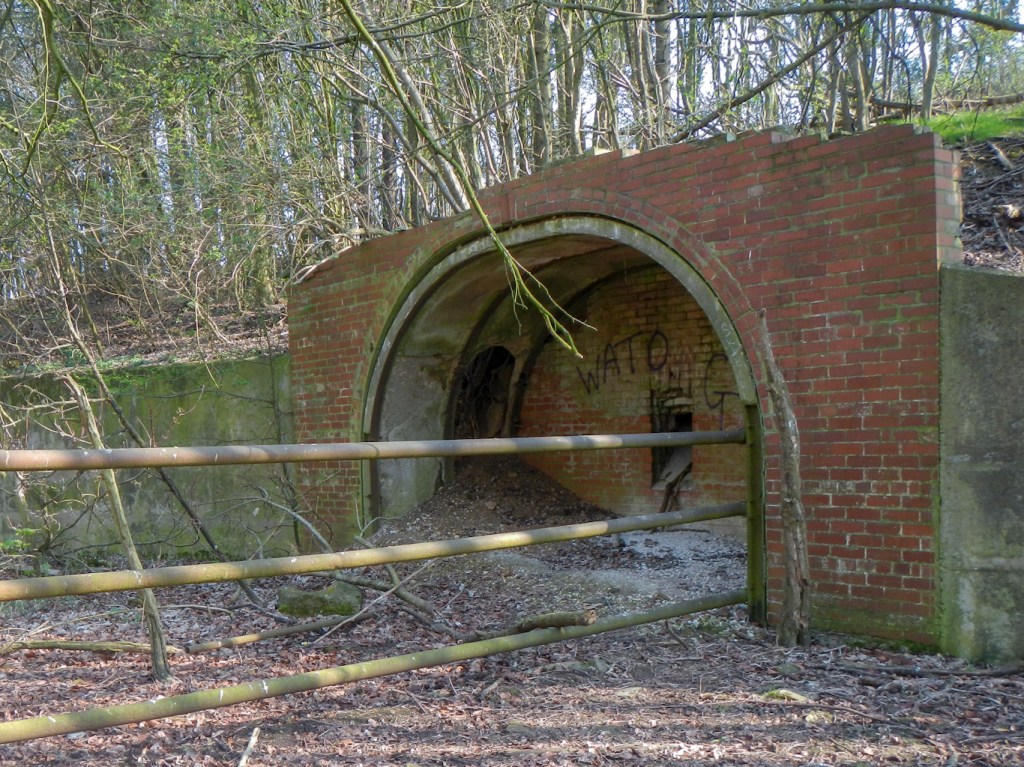
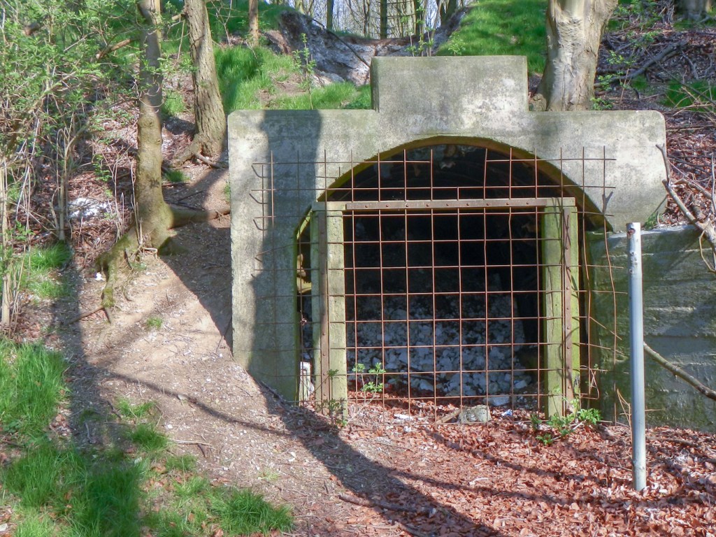
It didn’t take me long to leave the market town and to start climbing upwards to the highest part of the Lincolnshire Wolds. I passed the remnants of iron ore mines, now quiet sheep pasture and woodland; it is difficult to appreciate how different this area would have been in the nineteenth century and indeed up to 1968 when the final mine at Nettleton closed.
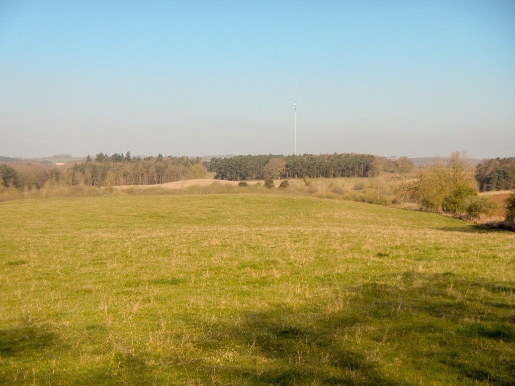
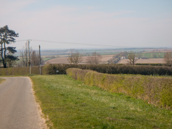
I passed close to the highest point in Lincolnshire (168m) from where there are far reaching views although the day was hazy and I couldn’t make out the towers of Lincoln Cathedral which can be visible in good conditions.

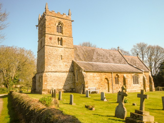
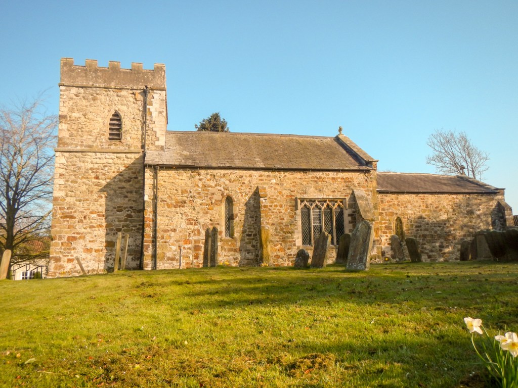
I reached Normanby Le Wold – St Peter’s Church.
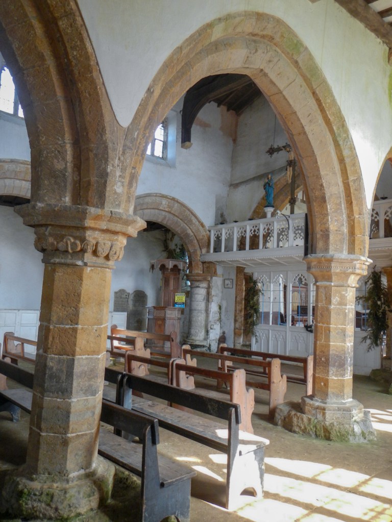
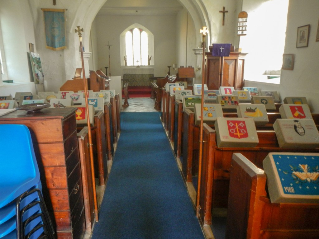
I had seen few people but this was to change as I left Walesby and climbed up to the “Ramblers’ Church” of All Saints.
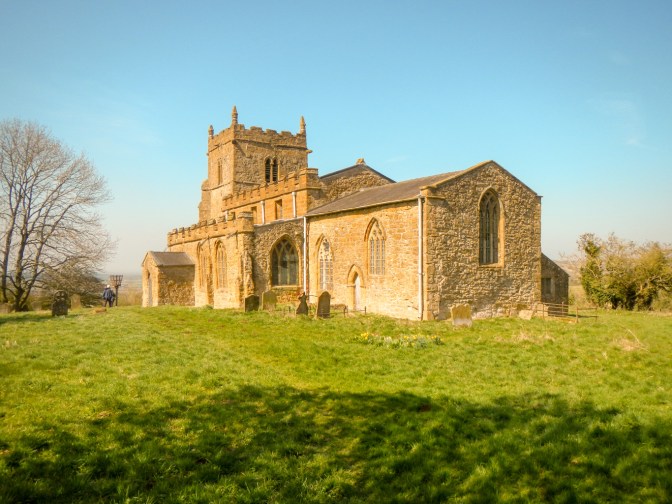
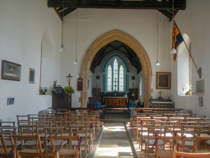
Dating back to the 12th century the church has a special stained glass window depicting walkers and cyclists passing through a cornfield.
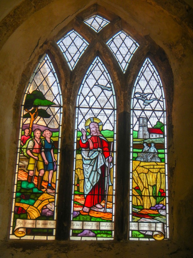
The visit to this church was one of the highlights of my walk.
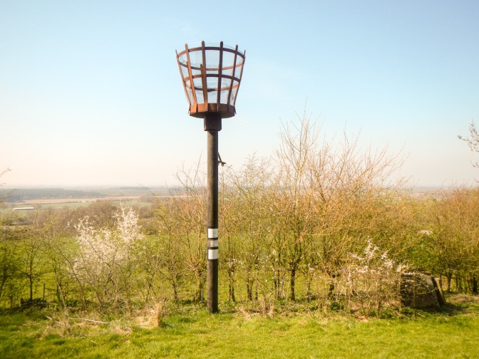
There are excellent views from the churchyard, which contains the Armada Beacon, one of many on a nationwide network that warned of the Spanish fleet’s approach to Plymouth in 1588. The beacon was lit again on 15 July 1988 to mark the 400th anniversary of the event. I ate my lunch sitting in the churchyard as did several other walkers. Earth mounds in the area are all that remains of a medieval village.
My route went on footpaths past a deer enclosure (no deer seen) and through Risby Grange which boasts a flock of the rare breed Lincoln longwool sheep.
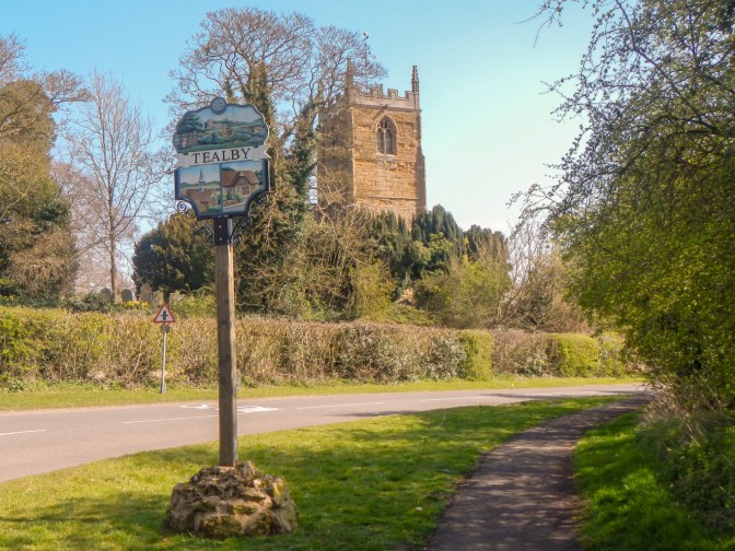
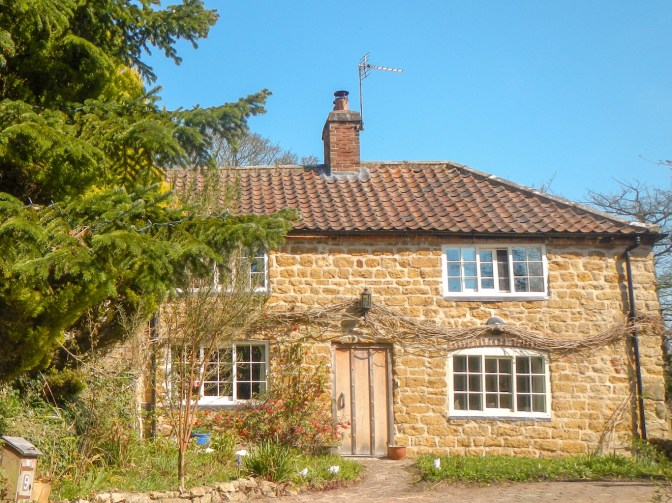
I descended to the village of Tealby, said to be the prettiest village in the Lincolnshire Wolds. One eighth of the buildings are listed and many are built in local ironstone, as is the church.
There is a welcoming community shop and café so I just had to stop to support the business…
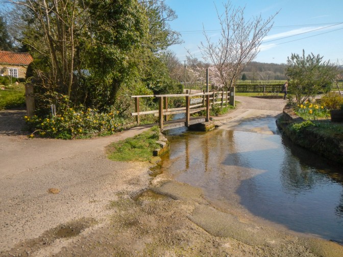
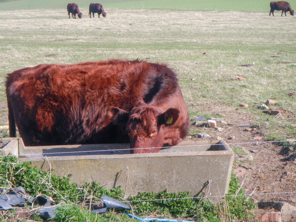
I didn’t linger long as I was expecting a lift back to our holiday accommodation in Horncastle from Donington on Bain. The route descends to cross a ford and then climbs again passing a pleasant area of parkland. This is the grounds of the old Bayons Manor, built by Charles Tennyson D’eyncourt (uncle of Alfred, Lord Tennyson) in the mid nineteenth century on a grand scale as a picturesque, romantic medieval castle. It was requisitioned by the army in WW2 but later became derelict and was destroyed in 1964 because it was in dangerous condition. The parkland looks pleasant and is a grazing area for the rare Lincoln red cattle (originally a breed used for both beef and milk but nowadays used as beef cattle).
I crossed the “High Street” old Roman road, which was about the same place as I crossed from map 113 to map 122. Ludford was the site of a Bomber Command airfield during WW2 and the Cold War.
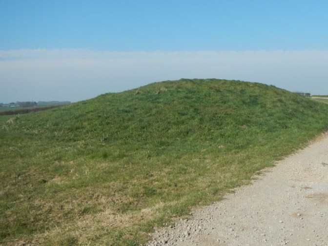
The route continues past the site of another medieval village at East Wykeham, although there is little to see. There are several such villages marked on the map in the area – East Wykeham, South Cadeby and Calcethorpe – and over 230 in Lincolnshire. However there was no mistaking Grim’s Mound, a large Bronze Age round barrow.
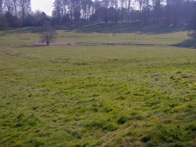
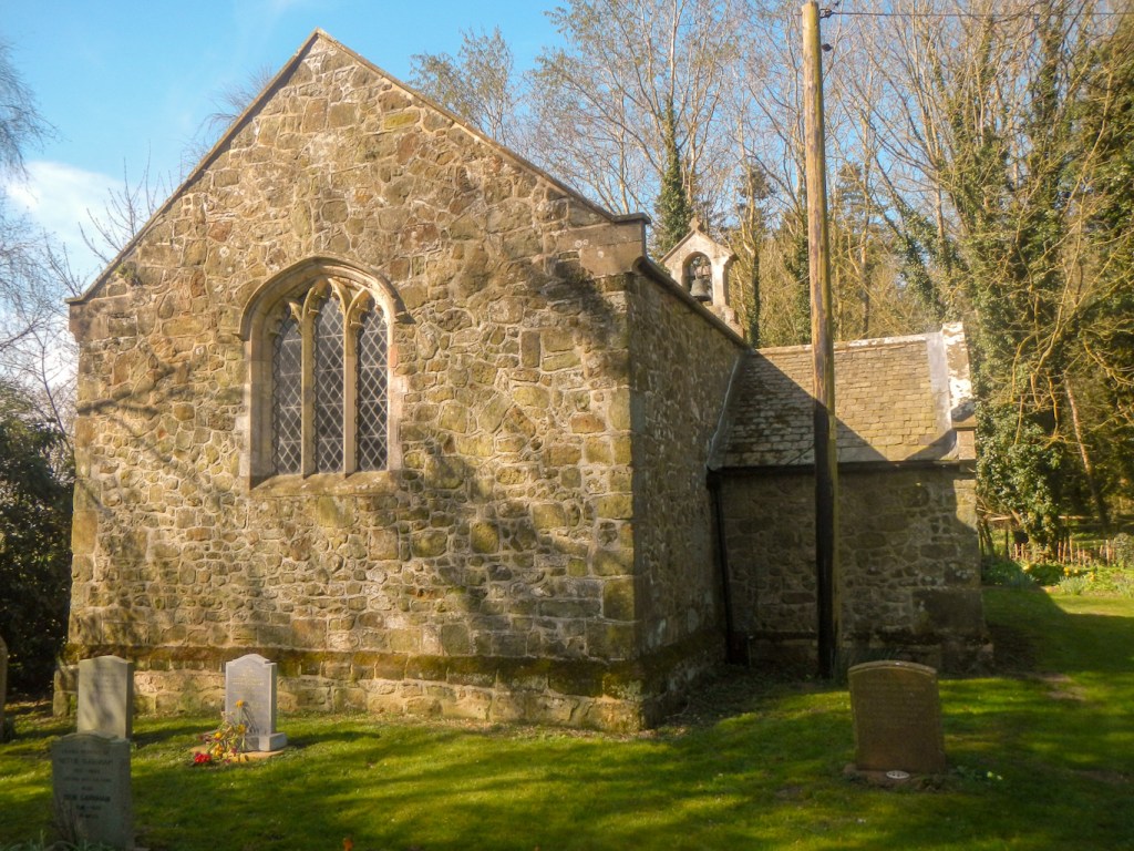
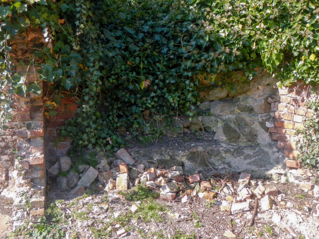
Biscathorpe is another medieval village site and here I thought I could make out outlines – all that remains of the ancient buildings.
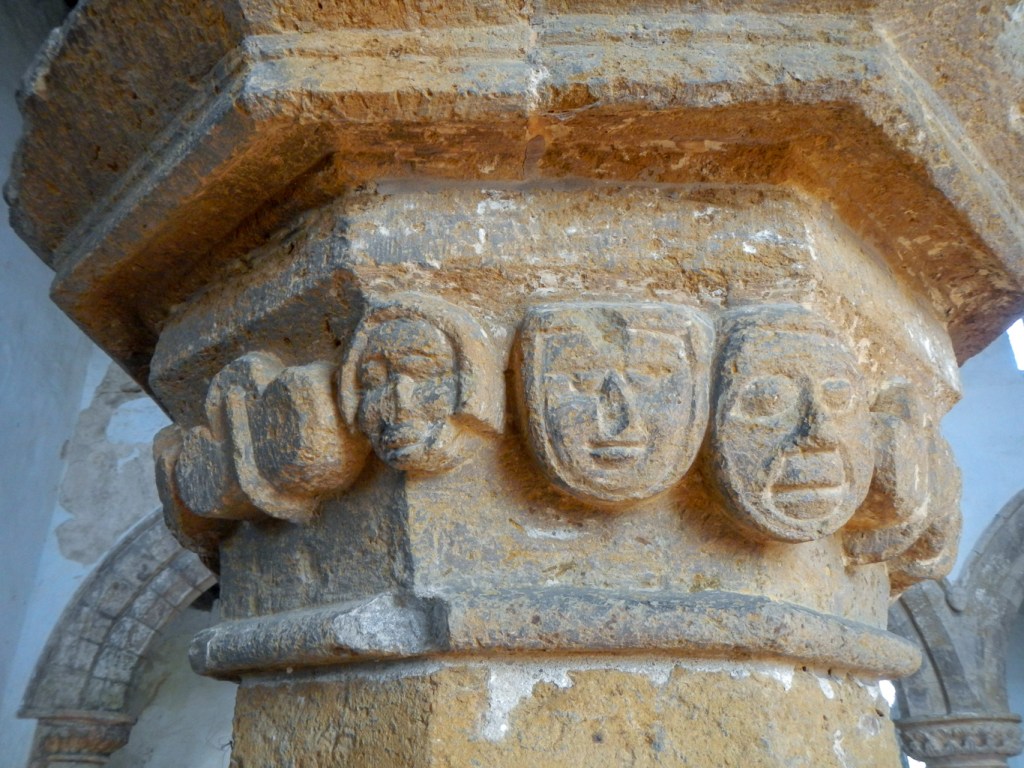
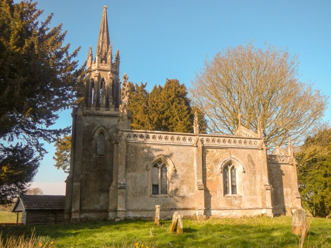
There are a couple of holiday cottages and an isolated locked and disused church nearby. The church was rebuilt in 1847 by W. A. Nicholson in a fanciful Gothic style including more than fifty grotesque stone faces perched high on the steeple.
After exploring the outside of the church and graveyard, all that remained for the day’s walk was the short amble to the village of Donington on Bain. St Andrew’s Church is the site of an unusual custom. The elderly womenfolk of the village gathered in the church for every wedding, and, as the bride and groom walked by, they would throw all the hassocks at them, and then at each other. This was tolerated up to the end of the eighteenth century when the rector became victim to an airborne hassock and called a halt to such frivolity. The hassocks in the church nowadays look far too beautiful to be thrown!
I was dropped outside the church the next morning – it would have been straightforward but it was at precisely the time that the peak number of children appeared to be arriving at the village school opposite. I was soon out of the village and climbing through a wood where I spotted the white tails of two deer running rapidly. I also saw a grey squirrel and a fox in addition to lots of good views.

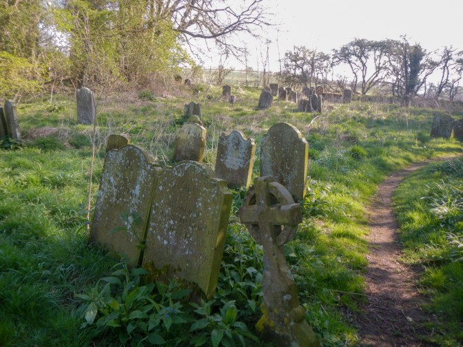
I reached the hill top cemetery above the village of Goulceby. Later when I visited the village church I realised that one of the graves is of William Marwood – not the William Marwood the hangman who pioneered “long drop” hanging as a more humane method to ensure instantaneous death but of his older brother also rather confusingly called William who predeceased him. Anyway without a grave map I would have been unlikely to find the grave amongst all the others. There is a list and map of the cemetery in the church so if I had been walking the opposite way….
I diverted from the Viking Way to visit Red Hill where there is an unusual exposure of Red Chalk rich in fossils. The colour is due to iron-rich mud that washed off nearby land into a tropical sea about a hundred million years ago. As one of the best chalk downland meadows in Lincolnshire, the reserve incorporates one of the sixty Coronation Meadows across the UK named to mark the 60th anniversary of the coronation of Queen Elizabeth 2. I also saw a herd of Lincoln red cattle.

I turned back down to Goulceby village, visiting the church. it’s a peaceful village apart from a constant engine noise which I realised came from the motor racing circuit at nearby Cadwell Park.

My route continued on undulating paths through Scamblesby and then Belchford, passing a couple of groups of young people who informed me they were on a Silver D of E Award expedition. At Belchford Church I stopped for lunch, supplementing my provisions with cup-a-soup, coffee and a bag of crisps provided in return for a donation to the church funds on an honesty basis.
My refreshments turned out to give me a welcome boost to climb the hill to Fulletby (137m) where I enjoyed panoramic views. I think I picked out the iconic Boston Stump on the horizon (the tower of the church in Boston which is over 80m high) but still not convinced that I saw the towers of Lincoln Cathedral.
It was downhill almost all the way from there to Horncastle.
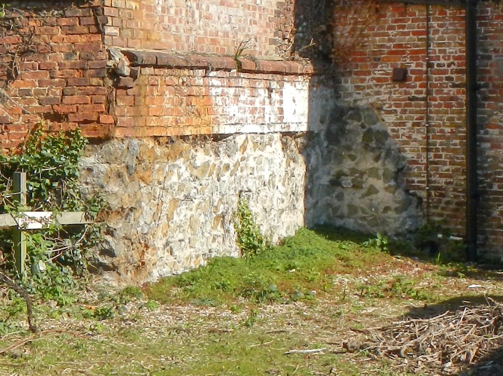
Unlike in Caistor, the old Roman walled town of Horncastle has several publicly accessible sections of wall. Unfortunately the section in the Jabberwock Books shop which is normally left clear was covered with books on the day I visited but I saw all the other fragments.


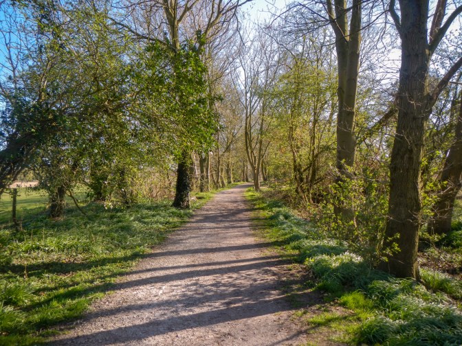
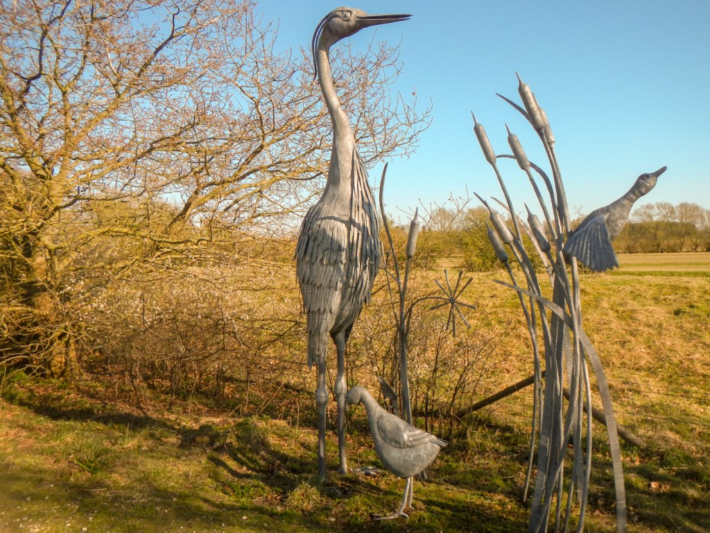
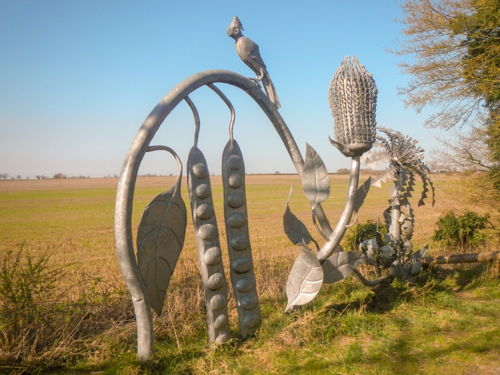
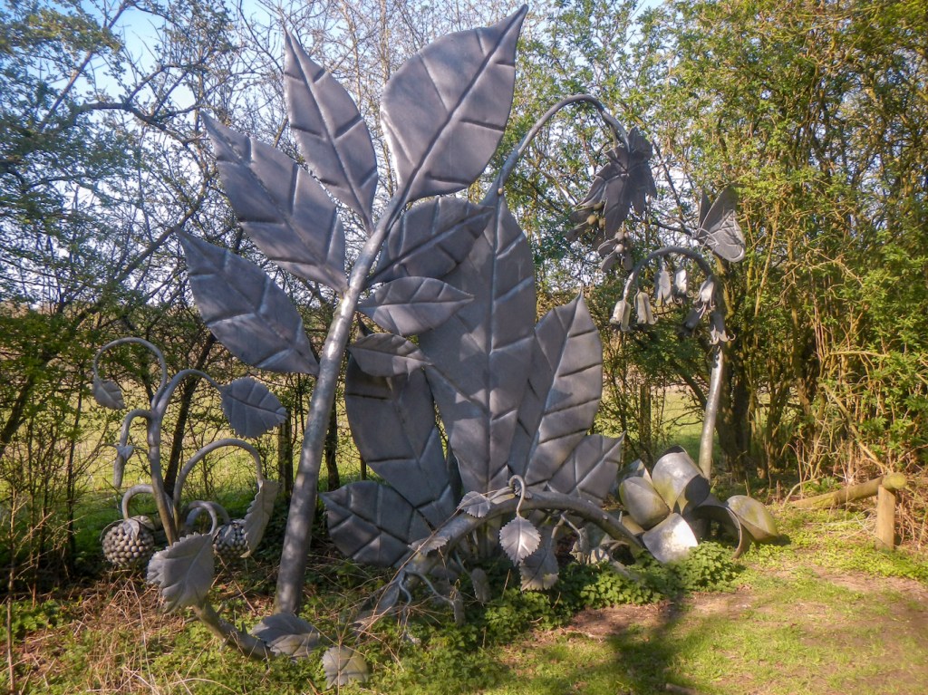
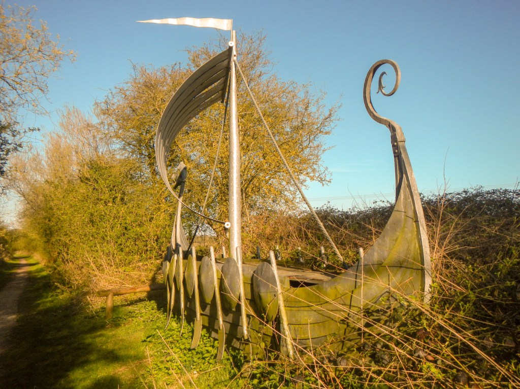
I had only walked about sixteen miles and it wasn’t the end of the day so I continued the further six and a half miles initially following the line of the canal and old River Bain on the Spa trail, a disused railway track bed.
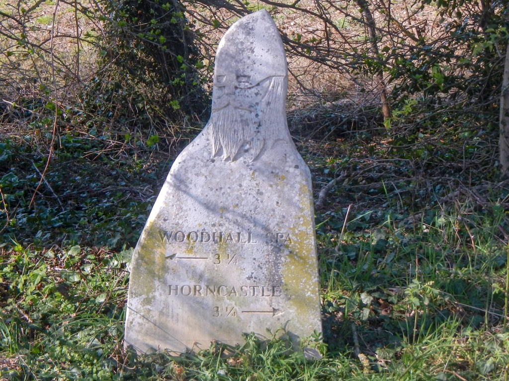
The route passes several interesting sculptures before leaving the line of the old railway to proceed over the golf course to Woodhall Spa.
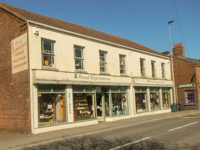
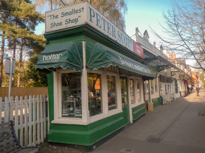
Once at Woodhall Spa there are Edwardian shop buildings including the narrowest shoe shop in England.
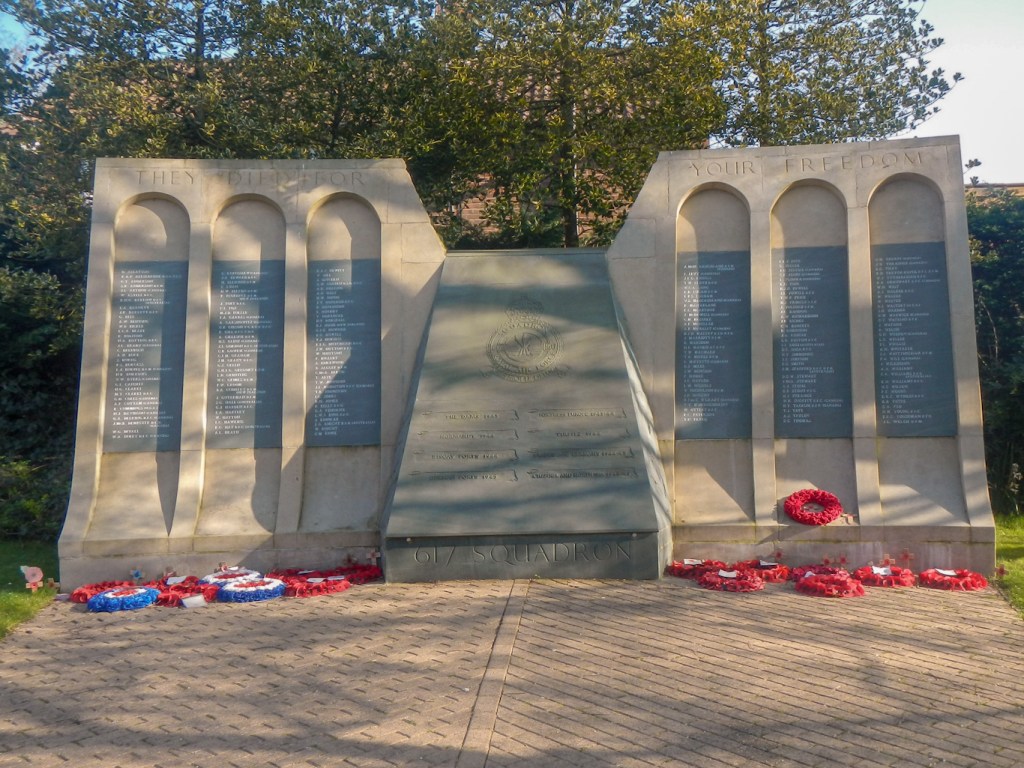
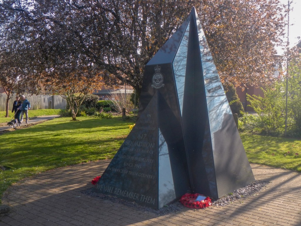
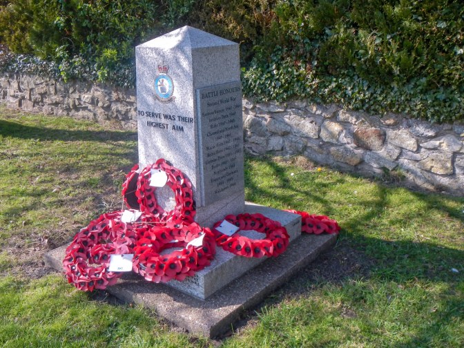
I walked as far as the memorial to the famous Dambusters before getting my lift back to Horncastle where we were staying. If I’d been earlier I could have visited the museum too…..