6 April 2025
As we drove to our farm based self catering accommodation at America Lodge, close to Rutland Water, I was concerned to notice markers out ready for a round Rutland Water running event the next day. That was just where I was planning to spend the day walking – a circuit of around 23 miles plus approximately two miles each way to the start point for the circuit. Fortunately a quick internet search suggested that the route was confined to only one section of the lake perimeter and I realised that I could arrange my circuit so as to arrive in that area after I predicted most runners would have finished.
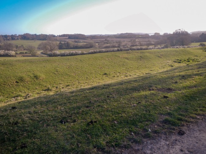
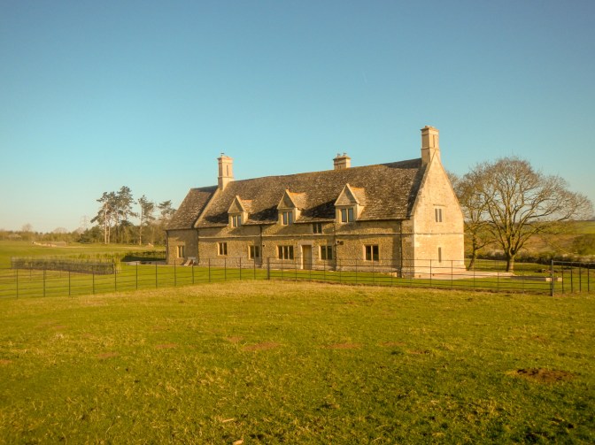
I was fortunate with the weather – yet another sunny day but with wind meaning it wouldn’t be too hot. My initial trek was along a ridge from America Lodge past an area with archaeological evidence for medieval dwellings (Martinsthorpe village), a demolished church and nowadays a single restored dwelling place where once there was the estate service range.
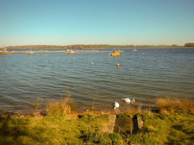
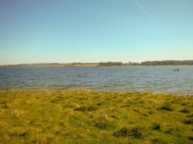
There were sheep and lambs grazing on the springy grass and I had my first views of Rutland Water.

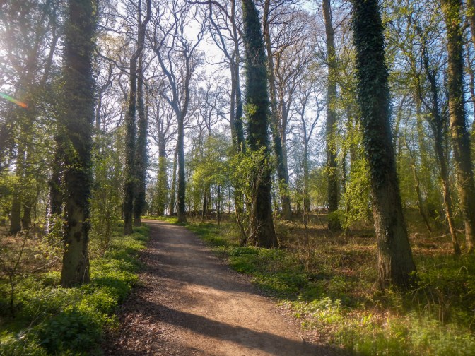
Eventually my route descended on paths past caravan sites and small patches of woodland and pasture to the lake.
Swans, ducks and geese were swimming near the shore and stepping on to the land.
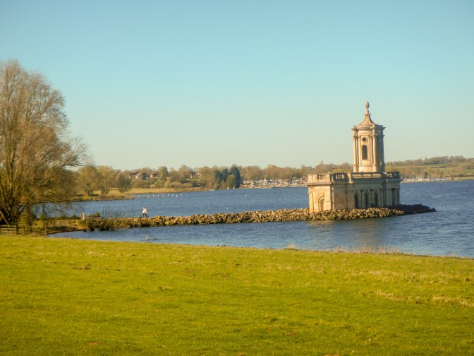
I passed a sailing club and then reached Normanton Church. Originally St. Matthews Church, it served as a parish church until the early 1700s when a large part of the village was demolished to create an estate for the Heathcote Baronets. These wealthy aristocrats used the church as their private chapel and mausoleum. In 1920, the Heathcote family relocated and their estate was divided up.
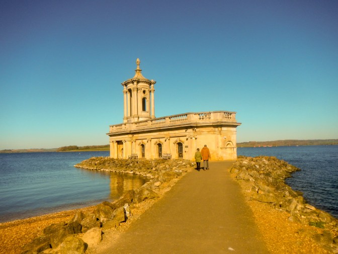
The valley had to be cleared when plans to flood the area and create a new reservoir were being made. Normanton Church was deconsecrated and scheduled for demolition, but the general public protested. When it was time to flood the area in 1976, it became obvious that the church would be partially submerged once the high-water level was reached. This would mean the gradual erosion of its lower walls and foundations. Finally, it was decided that the lower level of the church should be filled with rubble and topped with concrete to create a new floor. This would be approximately 60cm above the water level. The church would become a small island once the reservoir was filled, and so a causeway was built connecting it to the nearby shore of the lake and an embankment was constructed around the building. A layer of boulders was then put in place as a defensive breakwater. The church has become what is probably the county of Rutland’s most famous landmark and an iconic wedding venue.
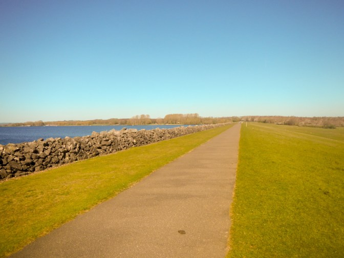
I soon reached the clay dam at the eastern end of the lake – it’s 115 feet high, and around 1,200 metres long.
I made my way along the northern edge of the lake and soon spotted an enormous number of cars parked in what appeared to be a temporary grass parking area. Enormous numbers of tired runners and their less tired friends and relatives were walking along the path towards me. Evidently they had completed the half marathon race and were walking back the distance of over a kilometre to their parked cars. I tried to divert off the main path and got very muddy boots.
By the time I had reached the point where the runners were finishing, I realised that these people would be taking around three hours. Some people were actually registered as walkers with a different type of number and many of these were moving more quickly than the slower runners. Anyway, I made sure that I didn’t get in their way however slowly they were moving as they all looked very tired. I greeted some marshals – they would have been at their stations for hours directing the athletes.
I turned into the seven mile loop around the Hambleton Peninsula. Apart from straggling runners and race walkers, this area was very quiet.
I even ventured further than the marked path to pass right the way round the end of the peninsula. There were good views across the lake and people fishing from boats. A solitary bird watcher was sitting with binoculars poised.
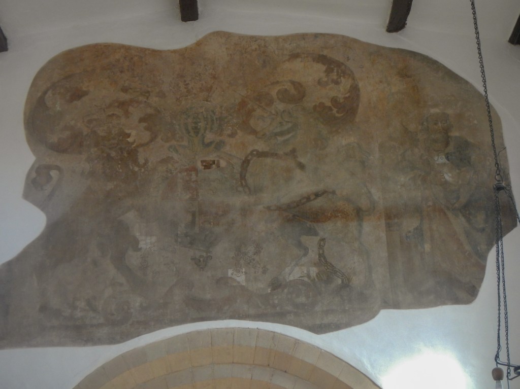
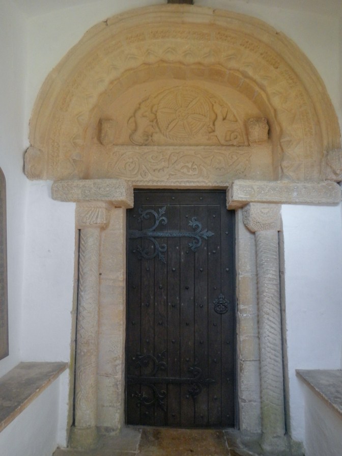
Leaving the peninsula, I turned towards the village of Egleton. This village has an attractive church boasting a wall painting incorporating the coat of arms of George III and a single figure, which it is suggested is Moses – research is ongoing as to whether it is contemporaneous or a Victorian addition.
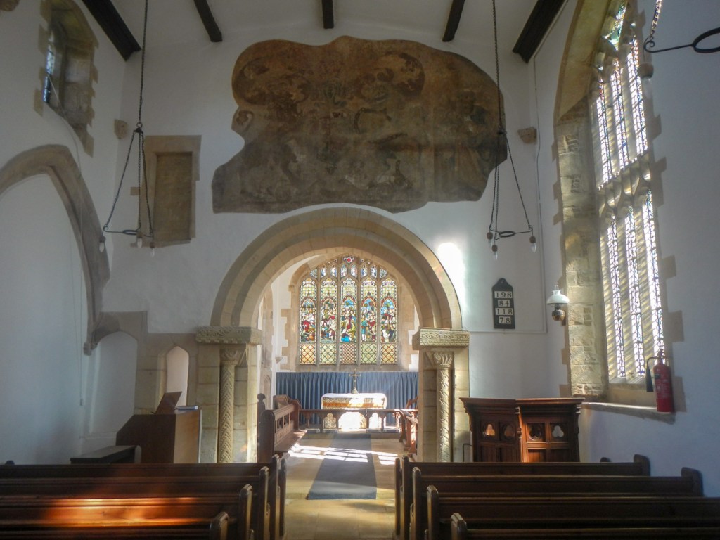
I also photographed the superbly carved and restored Norman tympanum doorway.
I popped into the bird reserve café to buy coffee and cake and was able to see the osprey nest on CCTV. However I wasn’t keen to pay the £8 admission fee to visit the bird hides – it does include parking, but I wasn’t in a car.
My route round the lake was completed at Manton and I returned to America Lodge, 43km walked according to my GPS device.
