13 March 2024
The weather forecast was for rain and wind but I decided that this walk would be possible in those conditions. My start point was in the remote village of Cilcain, three miles on windy single track roads from the A494 turn off at Loggerheads. However the village has a car park near a viewpoint (in addition to the village hall car park), a church, pub, primary school, playing field, and village hall with public toilets and a community shop.

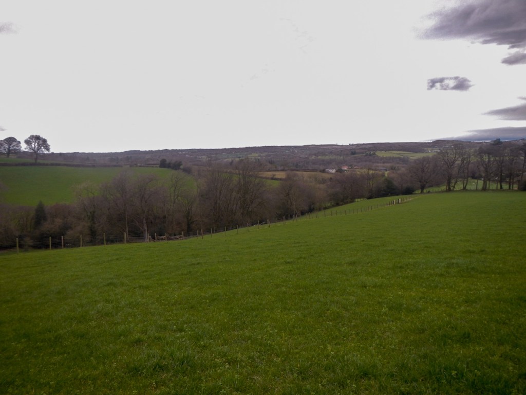
I parked at the viewpoint car park and walked down to the village. As it wasn’t raining, I wanted to make the most of the weather so I didn’t stop at the shop. Just like my walks earlier in the week, the ground was saturated with water. The first third or so of the walk was mainly on footpaths through farmland, some of which were well signed and others difficult to judge the precise line of the path. However the countryside was pleasant.
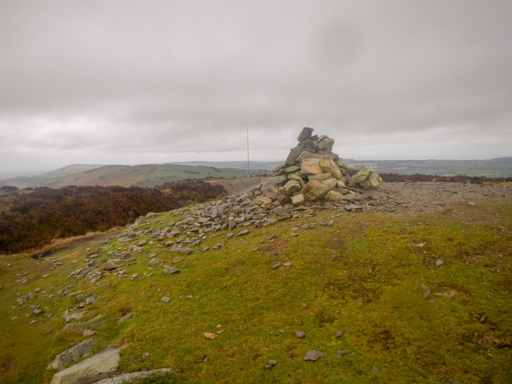
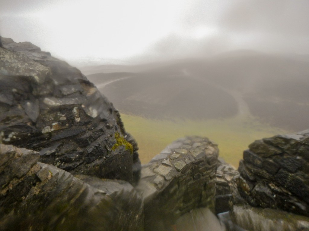
Eventually I reached the most northerly point of my route at Nant Coed-y-mynydd. By that point I hadn’t seen anyone since leaving Cilcain. However the route now turned on to Offa’s Dyke. On this path on a clear day it is apparently possible to see as far as Snowdonia, the sea and the Isle of Man. No such luck today, although the views that I did get were still worth seeing. I was soon walking over the hill fort on Penycloddiau. There is a reconstruction of a burial tomb on the summit (440m). It was difficult to walk in the wind, but it wasn’t as muddy and slippery as on much of the farm land.
As I descended to the car park near the road below Moel Arthur, I saw a couple walking towards me up the hill; the first people I had seen since leaving Cilcain. I climbed up to the summit of Moel Arthur (456m) which is an impressive hillfort on a prominent hill. Offa’s Dyke actually skirts the hill.
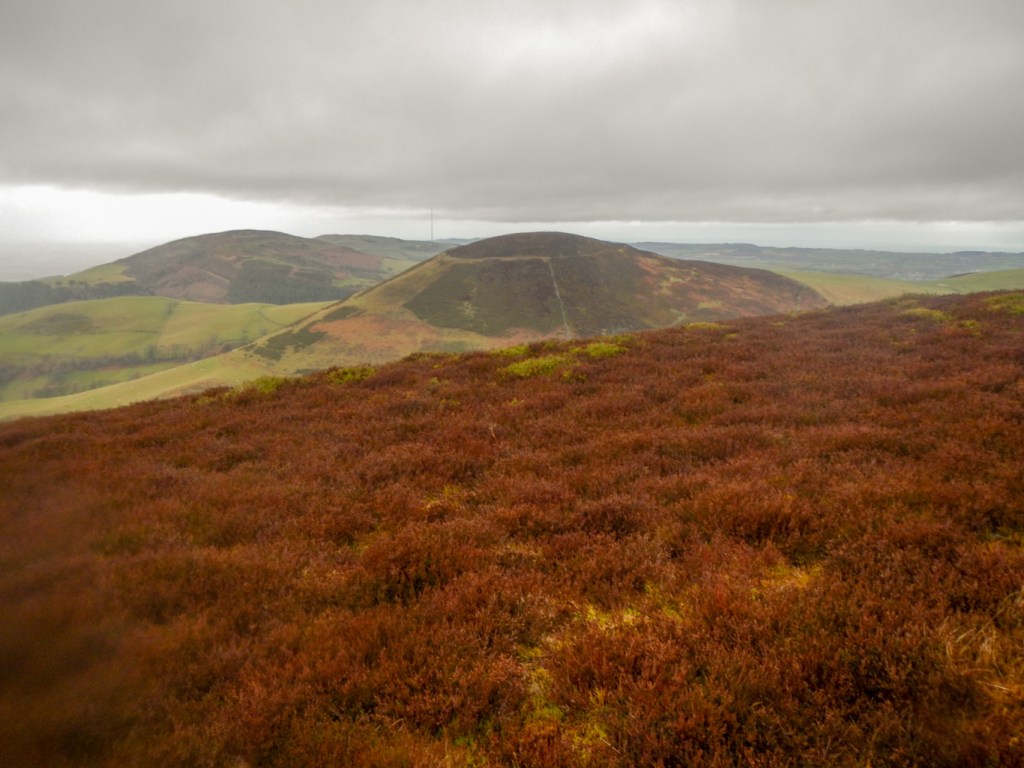
No sooner than I was at the summit, but I was descending to another road south of Moel Arthur and another roadside car park. Having descended, the route immediately climbed again. A runner was coming down the path carefully, saying it was too wet and slippery to run. There was also a large group of walkers. It was getting more and more windy and at times it was a struggle to walk in a straight line.
I was almost at the summit of Moel Dywyll (475m and two cairns), when I saw two people looking rather incongruous, carrying their coats. It was really windy and had started raining, with the rain coming almost horizontally carried by the wind.
I left the summit, descending to a col between Moel Dywyll and Moel Famau. It was still very windy and my rucksack cover blew off although remaining attached to the rucksack by a strap. I took off my rucksack to replace the cover in place, just as a walker came towards me and checked what I was doing! He told me that the weather was worsening – however I think it was just that this was a very exposed area. Anyway, I decided to continue to the summit of Moel Famau as planned rather than take a lower path bypassing the summit. The path was wide without precipices.
I arrived at the summit (554m – the highest in the Clwydian range and county top of Flintshire) and even climbed the Jubilee Tower. The tower, which was built to commemorate the Golden Jubilee of George III in 1810, was designed like an Egyptian obelisk with three tiers although it wasn’t completed due to lack of funds. In 1862, a major storm brought down the incomplete tower. The remaining upper part of the structure was demolished for safety reasons leaving just the base but there has been restoration work and it is a Grade II listed building. Amazingly in the conditions, there were two other groups of walkers at the summit.
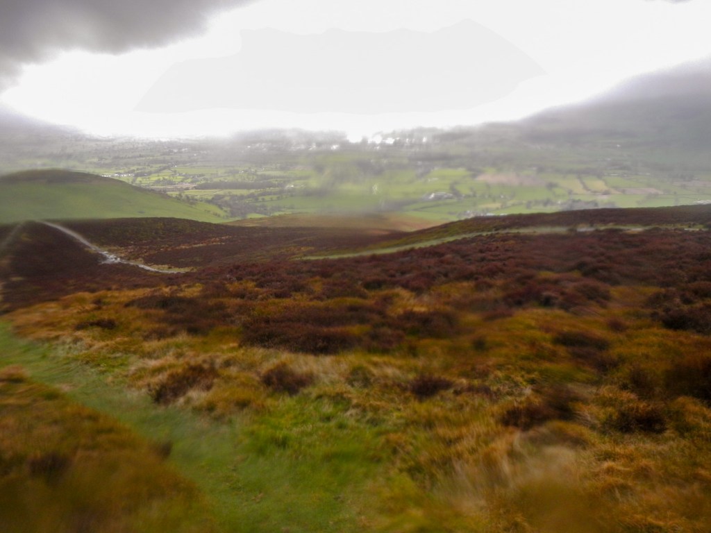
Apparently on a clear day, the views embrace Snowdon, Cadair Idris, the North Wales coast, River Dee, the Lake District and the Isle of Man. On this day, I couldn’t even see Cilcain just a few miles away.
I started to descend on a good path and was immediately out of the wind. Unfortunately the path diverged from the bearing I had intended so I found myself on the path to Loggerheads rather than that to Cilcain. As I was out of the wind, I didn’t want to go back up and start again and I managed to find paths to cut back on to my intended route.
It seemed like a long trek across muddy fields near the end to get to Cilcain. Eventually I reached the village and walked through to my car. It really is a friendly village: two people walking dogs stopped and chatted, checking whether I had enjoyed my walk. Actually it had been a good day – made challenging in the conditions but with some time when the weather was good enough to appreciate the views.

Wow. You have been busy. Great to catch up with your walks. Very interesting. I don’t know that area at all. Thanks for sharing 🙂
LikeLiked by 1 person