10 March 2024
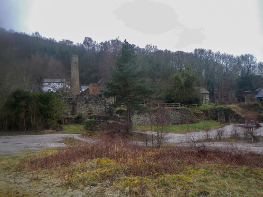
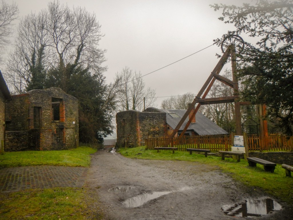
I parked in the village of Snailbeach, just next to the village hall. I began by walking up the hill through the old lead mining area. There’s evidence for lead mining in this area as early as Roman times and ongoing to a greater or lesser extent until 1955. There were twelve miles of underground workings in its heydays. The buildings fell into disrepair but, from 1993, the site was made safe by land reclamation work and building repair. English Heritage classed the buildings as being the best of their type in UK and well worth preserving as part of our industrial heritage, declaring the mine as a Scheduled Monument in 1997. Since 2004, it has been open as a tourist enterprise. The site is unfenced so is open at all times to wander round and soak up the atmosphere, with interpretation boards at strategic points. On some summer Sundays it’s even possible to join guided tours underground.
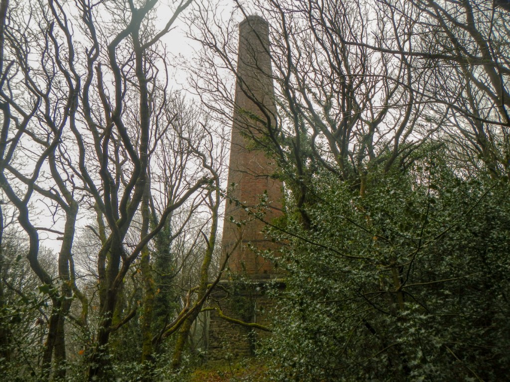
After an exploration of the main mine site, I continued uphill to reach a huge chimney. This is Resting Hill Chimney, which is connected to a flue that ran from the smelting works across the valley and also took smoke from the adjacent boiler houses.
There was even more uphill to reach the summit of Resting Hill. After the poor visibility of the previous couple of days, I was fortunate to enjoy fine views over Shropshire and beyond.
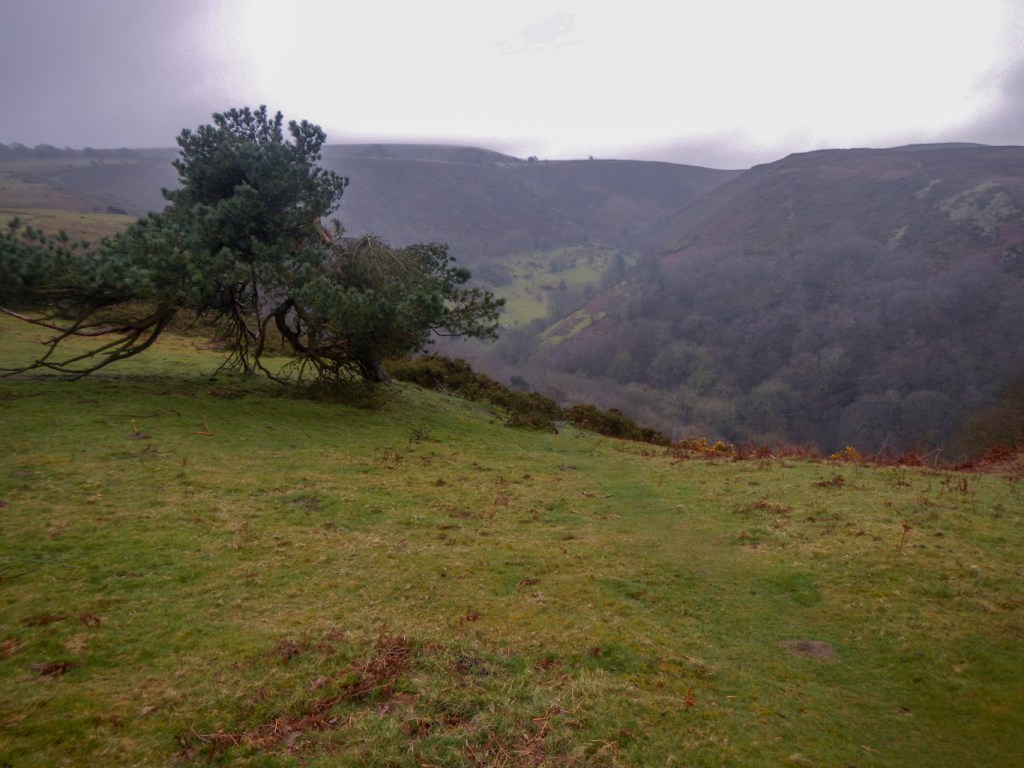
I could see the tree-lined valley of Crowsnest Dingle where I would be walking on my return trek.
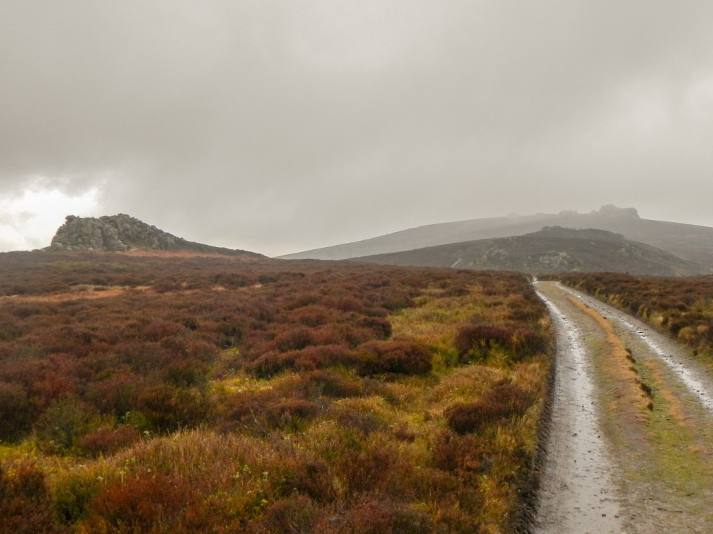
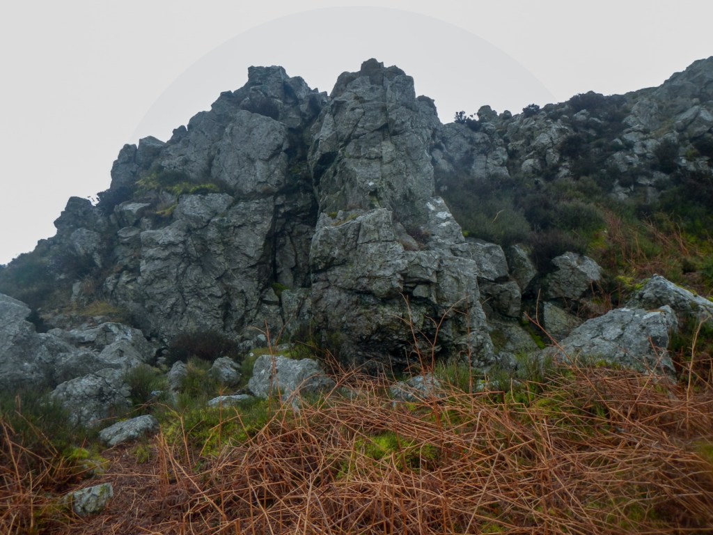
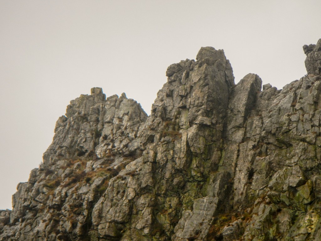
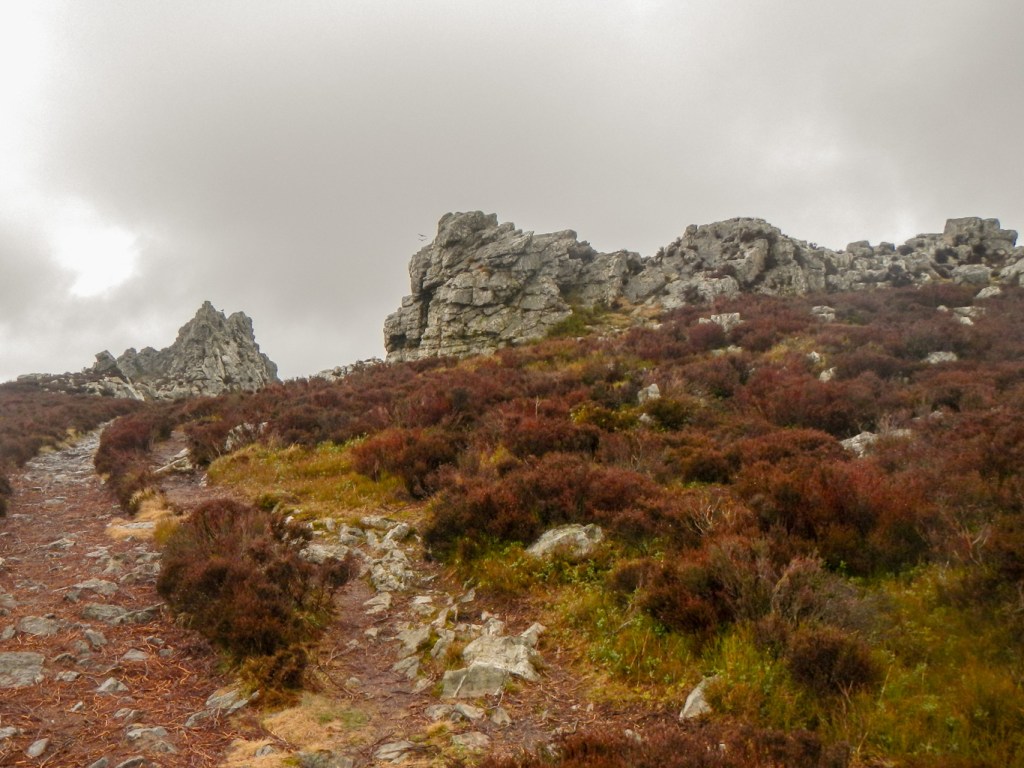
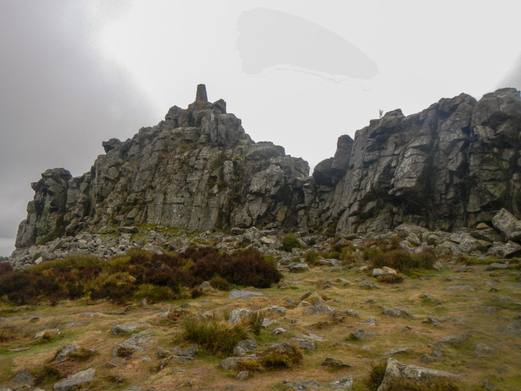
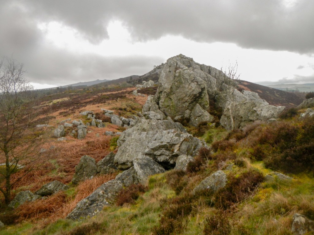
The Stiperstones themselves soon came into view. They are reminiscent of the tors of Dartmoor but in fact the exposed sedimentary quartzite is unique in England. Shepherd’s Rock, Devil’s Chair (the largest), Manstone Rock (the highest point at 536m) and Cranberry Rock followed in quick succession, with some unnamed outcrops between them. The unique heathlands provide an important habitat for several species of butterflies and notably a population of hairy wood ants on Resting Hill – although I missed them.
Unsurprisingly, there is much folklore associated with these unusual stones. The Devil is said to sit on his chair during summer solstice to recruit followers although others maintain that the Devil hasn’t been seen since he was outwitted by Slashrags the Tailor at Cranberry Rock. The ghost of Wild Edric, a Saxon warlord who fought against the Norman Conquest, is said to gallop through the long night of the Winter Solstice pursued by the ghost of his wife.
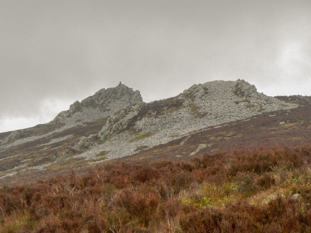
I left the National Nature Reserve to walk further south on Nipstone Nature Reserve, looked after by Shropshire Wildlife Trust. I reached the two main outlying Stiperstones – Nipstone Rock and The Rock.
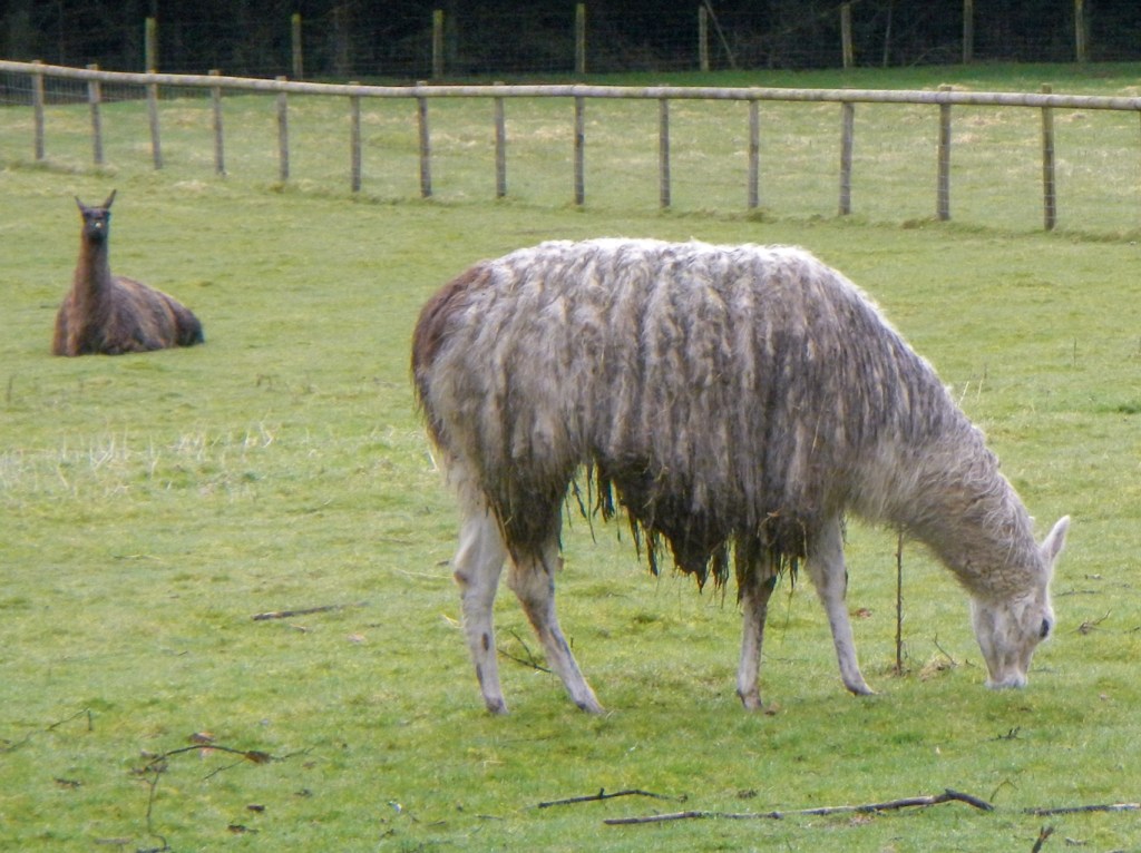
I began my return walk by descending to a quiet lane, passing a couple of fields of alpacas.
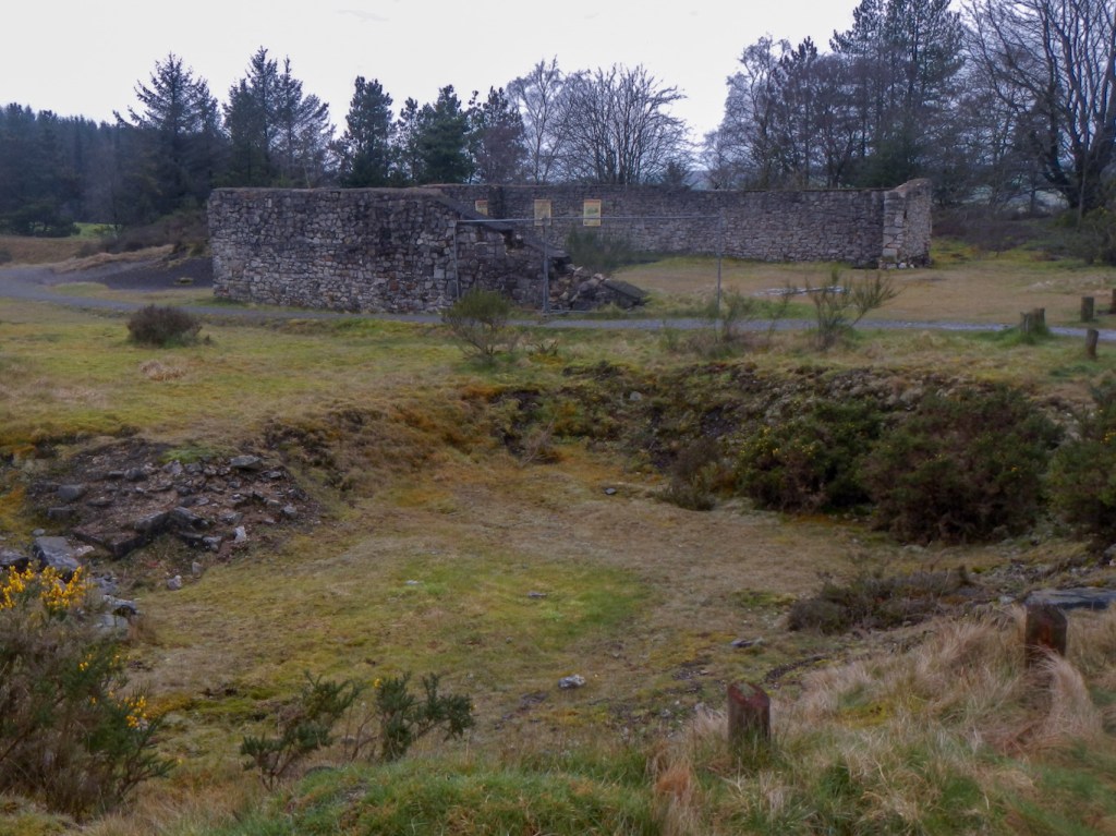
I reached another derelict mine site – Bog Mine. The visitor centre housed in the old village school was closed but there were some interpretation boards in what had been the area occupied by the Miners’ Institute. Commercial lead mining started here in the 1730s and continued for almost two hundred years but now nature is reclaiming The Bog.
I chatted to another walker, mentioning that Shropshire is an amazing county for walking – and he agreed having moved to the county to be near these hills. He explained that it can get busy in summer but definitely not as much as many popular rural areas.
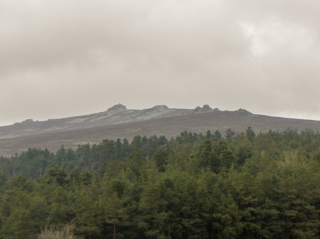
As I headed uphill again towards the main ridge, the rain started so I passed Shepherd’s Rock hardly able to pick it out through the cloud. That was when I realised how fortunate I had been to see the tremendous views of the rocks in the morning.
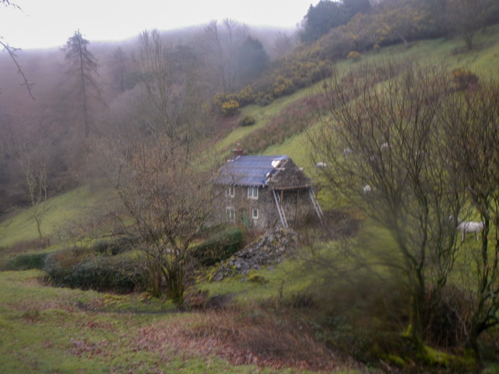
I diverted off the ridge again to descend down Crowsnest Dingle to Lordshill Farm and then back to the mine at Snailbeach.
This had been another wonderful walk in Shropshire!
