9 March 2024
It was a damp, drizzly and windy day as I pulled into the empty town car park in Church Stretton just before 08:00 on a Saturday morning. However, the sign near the pay and display machine stated “Walkers are Welcome” and it was just £4.80 to park all day (free on Sundays!). As I pulled on my boots, gaiters and full waterproofs, another car arrived disgorging a person wearing walking boots, so clearly I wasn’t going to have the hills to myself.
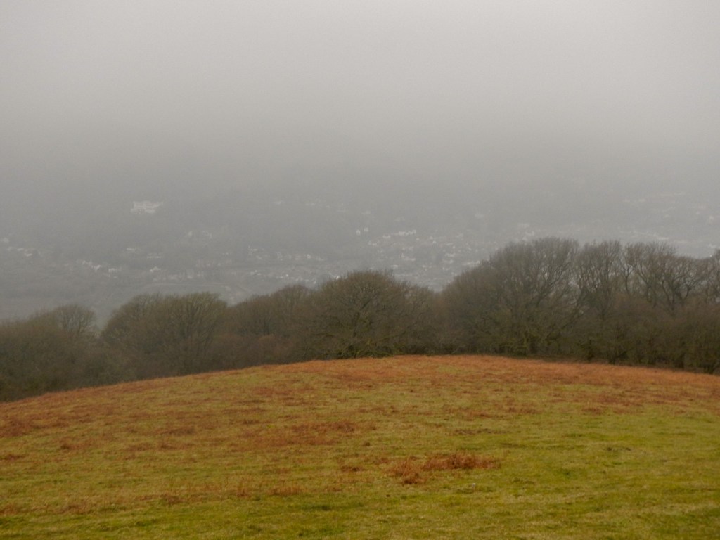
My planned route began by crossing the busy A49 and climbing Ragleth Hill. This would have been a wonderful 360 degree viewpoint including a spectacular vantage point to see the Long Mynd. Unfortunately that wasn’t the case on such a cloudy day but nonetheless the summit had a wonderful feeling of space and it was an exhilarating climb. For the record, I did see someone ascending from the opposite direction as I descended, so I wasn’t the only person to think the climb was worthwhile even without the view.
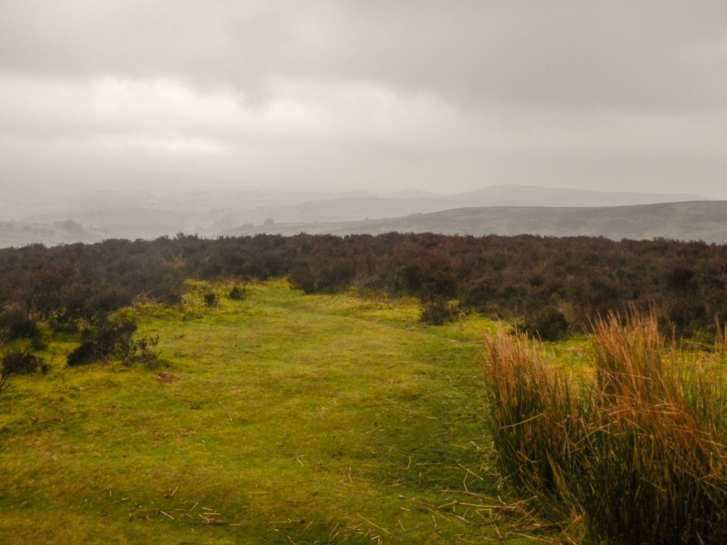
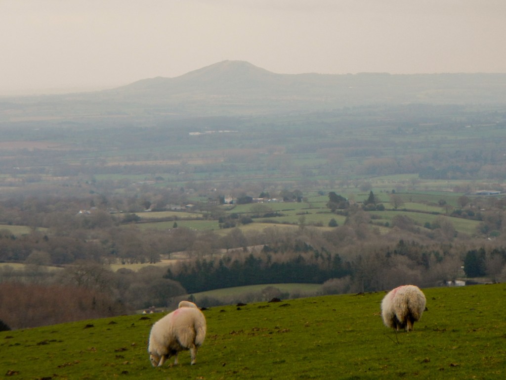
I followed footpaths and bridleways past a farm and the small village of Minton, by which time I had re-crossed the busy A49 and crossed the railway line. The route up Minton Hill was on springy turf and tracks over open moorland under the care of the National Trust. Again I missed out on reportedly stunning far reaching views, but I could see nearby impressive desolate moorland and valleys. There were quite a number of walkers and runners as well as some ponies on this part of the moor.

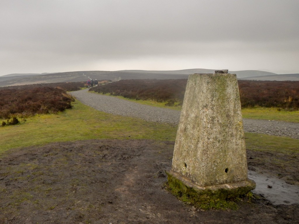
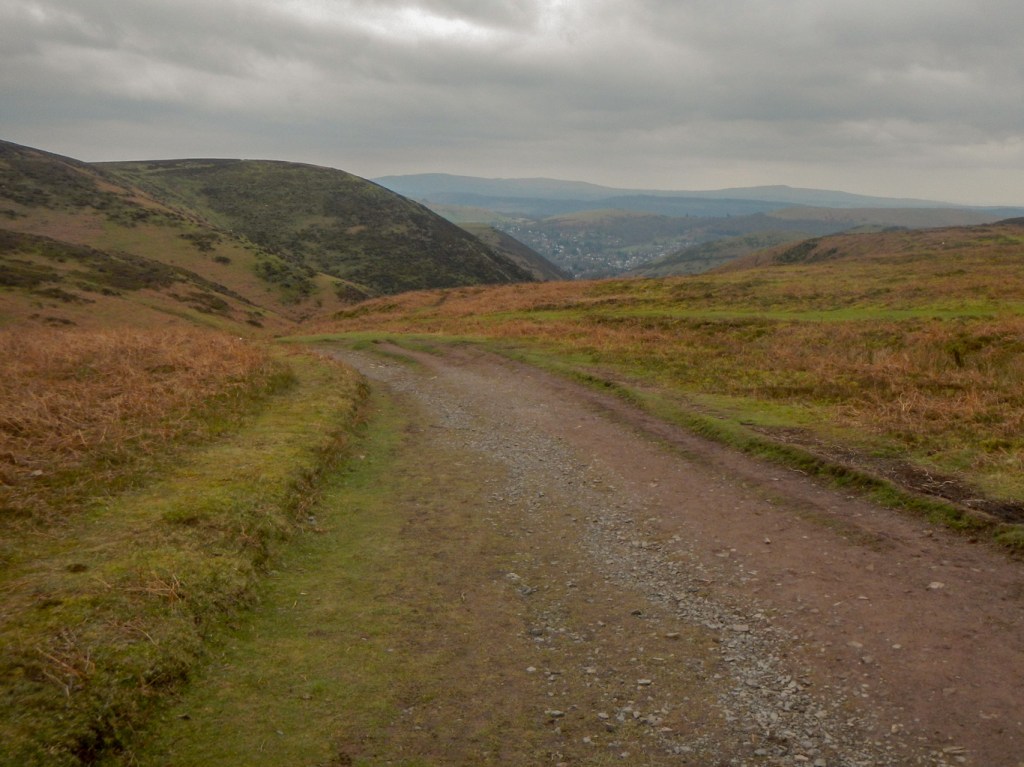
A long stretch of narrow, open and almost vehicle-free road followed and then a “fully accessible” surfaced path to Pole Bank. This summit at 516m is the highest on the Long Mynd and has 360 degree views and a toposcope; unfortunately everything was in cloud.
My choices from this point were to cut across to the top of the Cardingmill valley on the Jack Mytton Way or to take time to explore the less frequented western flanks of the Long Mynd. Despite the weather, I opted for the latter and followed a path offering good views of barren and somewhat featureless rounded hills. It was a bit like walking on Dartmoor but without the tors.
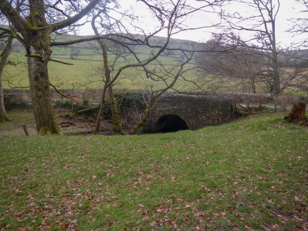
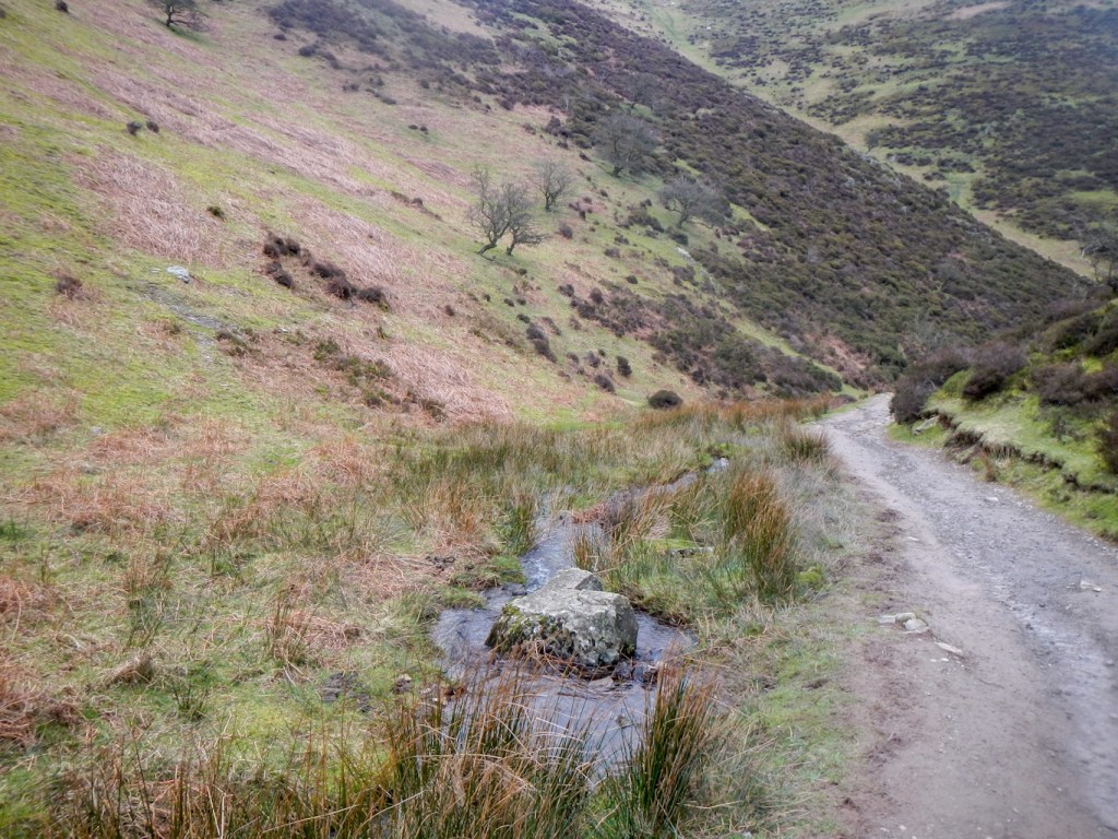
I came out on a minor road which I followed to the small hamlet of Bridges, where the pub is currently closed for major refurbishment. I walked past the youth hostel then followed a lovely path by a stream and through some woodland. A trek through some muddy fields followed soon after, but there were good views as the weather appeared to be improving. This is “The Portway”, an ancient route across the hills.
I reached a road over the moors then turned off down a track to reach the top of the Cardingmill Valley.
I actually saw several people on this part of the walk after my visit to Pole Bank, especially near Bridges, so perhaps it’s becoming deservedly more popular.
However there were more people than I had seen all day taking advantage of the better weather and coming towards me ascending the steep Cardingmill Valley. The valley is very scenic and I was tempted by the sign indicating a twenty minute walk up to the four metre high Lightspout Waterfall. It was a bit of a scramble in places but I arrived in well under twenty minutes. I didn’t go further than the bottom of the waterfall as that would have just taken me all the way to the top of the valley again.

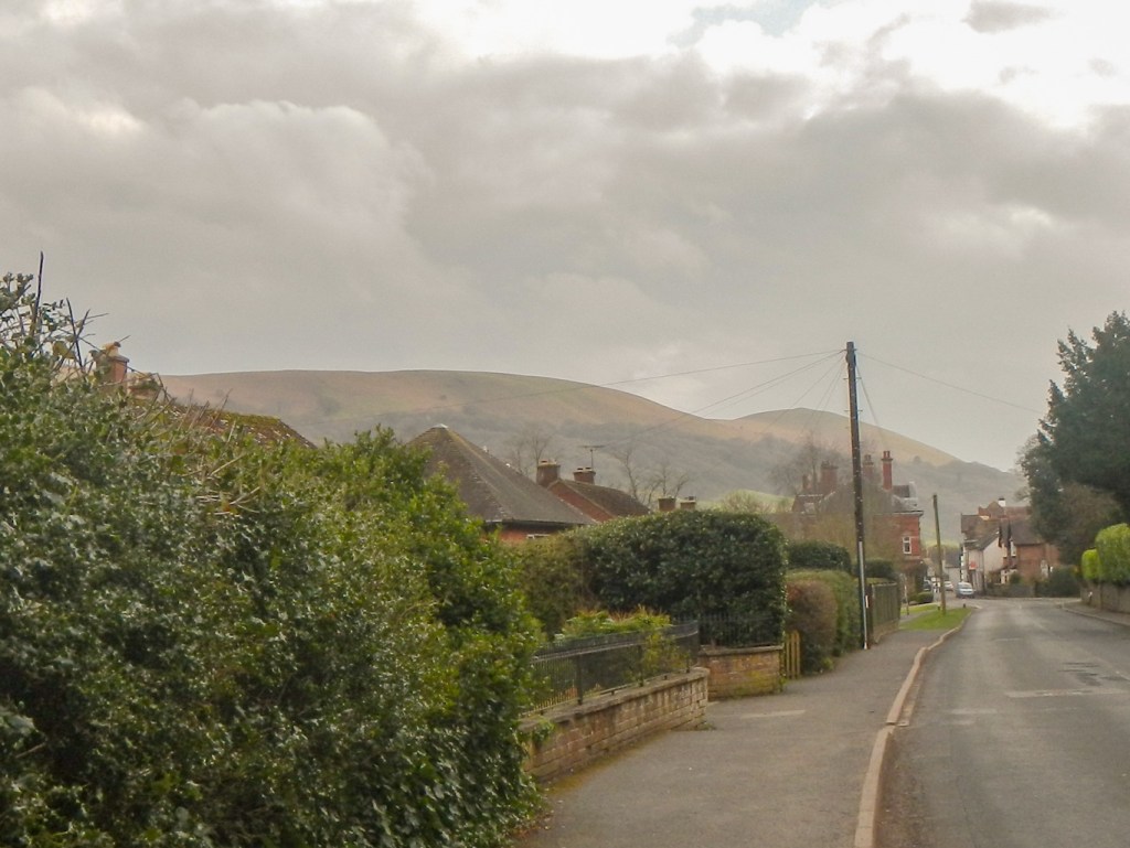
It was just a short walk back to my car in the town car park. I was a bit disappointed that so late in the day the sun was coming out and I had some excellent views of Ragleth Hill ahead of me – if only it was like this when I had been at the summit!
In total I had walked just under twenty miles with approximately 3,600 feet of ascent.
