8 March 2024
The day was warm for March but there was significant east wind so it felt quite chilly as I pulled on my boots, gaiters and jacket and left my car in a small parking area next to the road by the start of the forest trails leading up Brown Clee Hill. There isn’t any land higher than 500m between here and the Ural Mountains in Russia, so small wonder that the east wind felt cold.
I was particularly keen to explore these hills as they are the only hill range named on the medieval Mappa Mundi housed in Hereford Cathedral and which I visited last October.
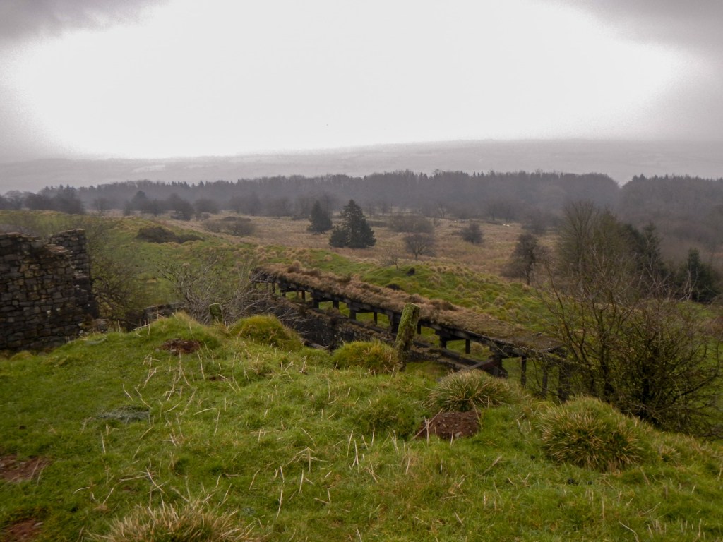
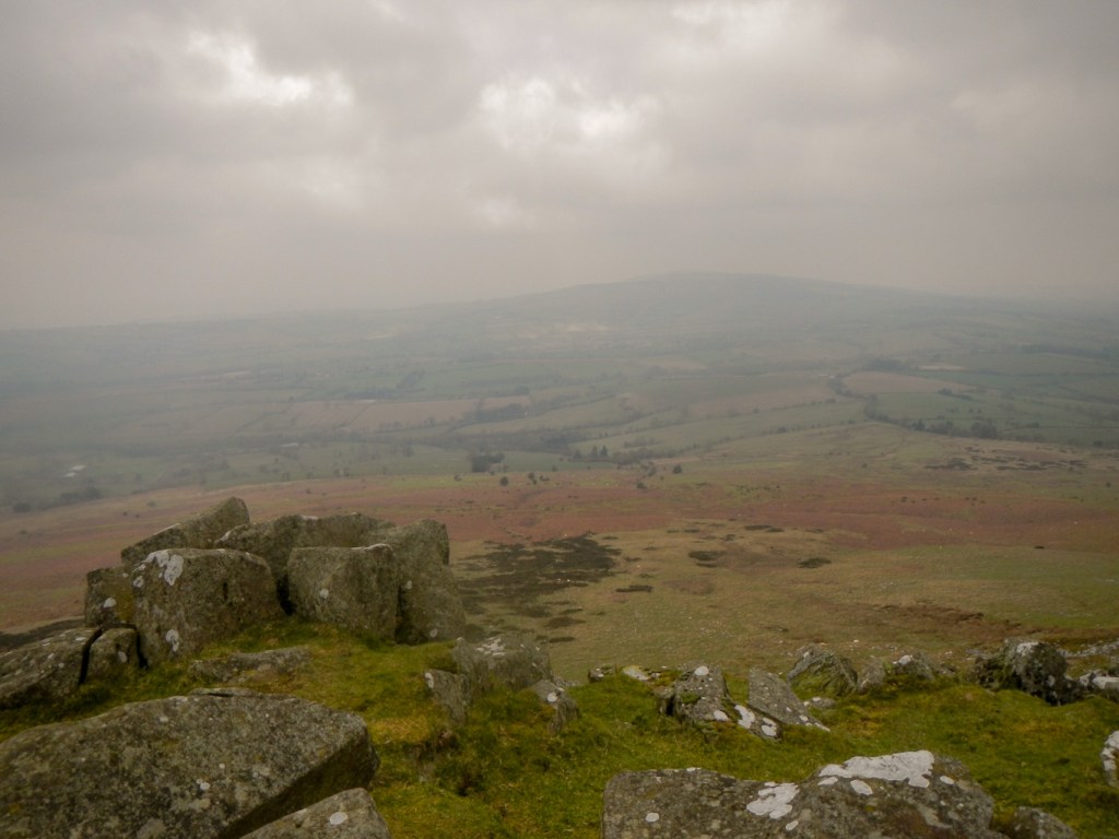
The footpath through the woods was very muddy so I was relieved that I was wearing my gaiters. I reached open ground and the summit of Abdon Burf, at 540m the highest peak of Brown Clee, within forty minutes of leaving my car. It’s the highest hill in Shropshire and a toposcope at the summit points out local landmarks. The hazy conditions meant I couldn’t see much except the radar masts and the derelict quarry and mine buildings. Coal, ironstone and dhustone (a carboniferous dolerite used in construction) have been extracted. Remnants of a large Iron Age fort remain although very damaged by quarrying activity.
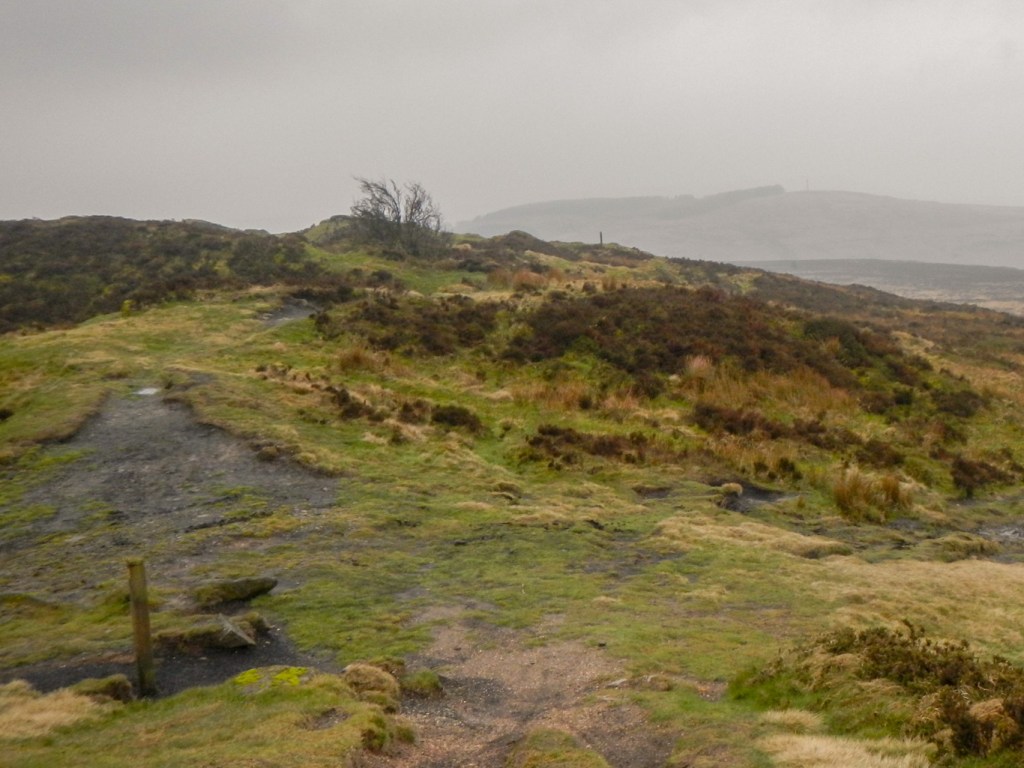
It’s a bleak landscape, but I could envisage that the views on a better day, especially looking towards Wenlock Edge, would be superb. I descended to the col at Five Springs then climbed again to the south summit of Brown Hill – Clee Burf. It’s just as good a view point despite being 20m lower than Abdon Burf. The Iron Age hill fort here has also been largely lost to quarrying activity.
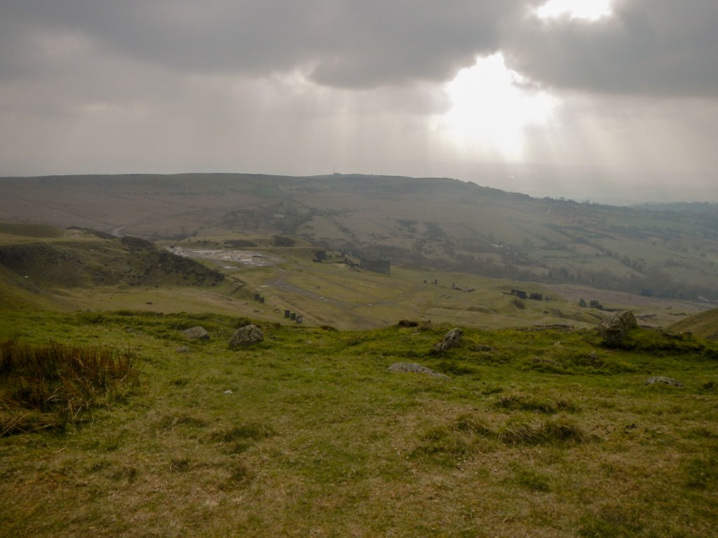
It felt a long trek, mainly along slippery paths with deep mud, to reach the base of Titterstone Clee Hill. The hill stands out prominently from the surrounding landscape, although it is a little lower than Abdon Burf, at 533m.
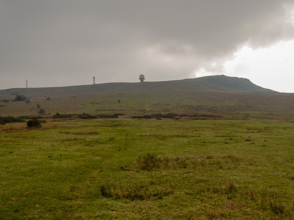
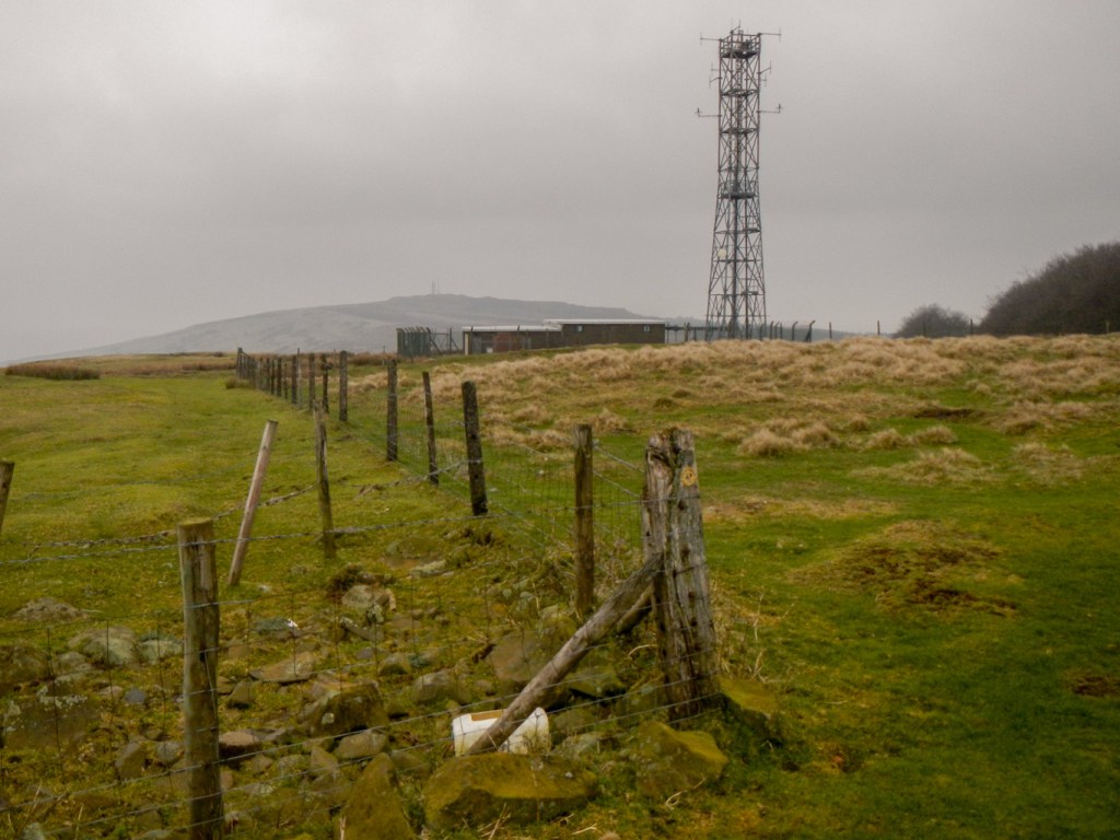
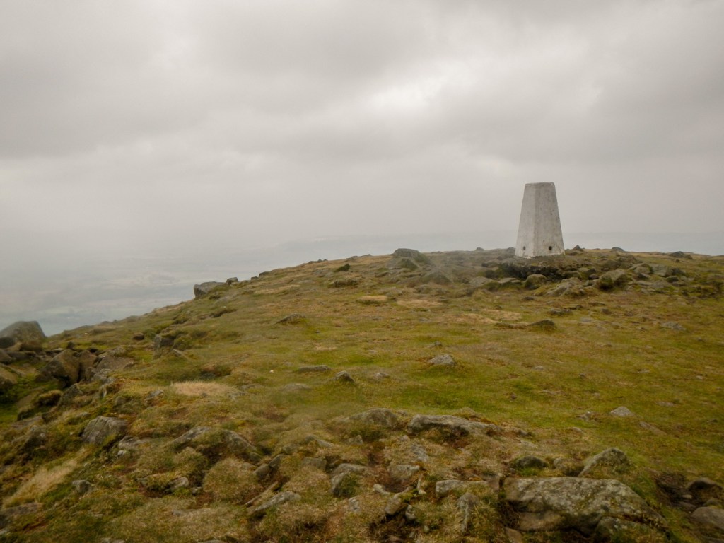
The climb to the summit seemed long and steep. The view when I arrived was better than that from Brown Clee as, for a brief period, the sun came up. I spotted some remnants of snow – and later discovered that, less than a week before my visit, the entire hill had been snow covered. The summit boasts a trig point, a radar station, old quarries, remnants of another Iron Age hill fort, with walls of stone blocks rather than earth and a pile of boulders named The Giant’s Chair.
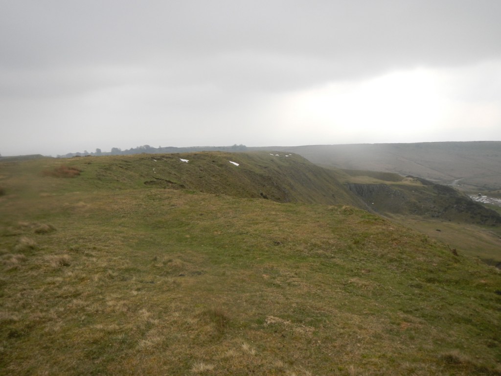
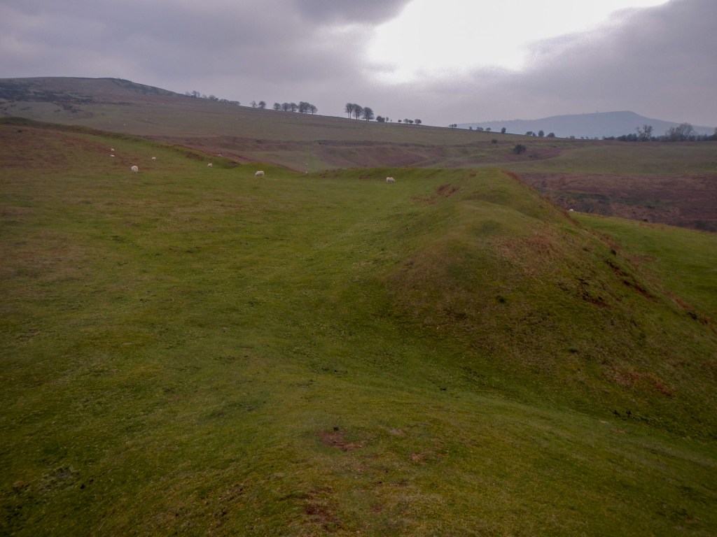
I started the long trek back towards Brown Clee but veered in a more westerly direction to reach Nordy Bank where the Iron Age hill fort has not been subject to the ravages of mining. The earth ramparts are huge and impressive.
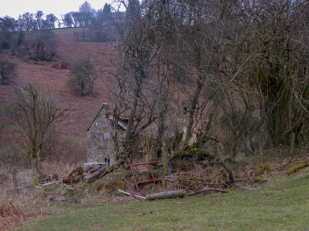
I descended to the isolated hamlet of Cockshutford, where I spotted a phone box repurposed to house a community defibrillator. I followed a track up a valley past some houses and a derelict isolated cottage.
Soon I reached Five Springs, the col I had visited in the morning on Brown Clee between Abdon Burf and Clee Burf. I took the track through the forest to return to my car.

This had been an interesting walk through a landscape which shows the mark of man since the Bronze Age including burial mounds, hill forts, quarrying and mining as well as the recent plethora of radio masts, radar stations etc. It is also an important area for wildlife and situated within the Shropshire Hills Area of Outstanding Natural Beauty. I had seen few people all day and it appears to be a largely undiscovered swathe of countryside, despite being so close to densely populated parts of the country.
