15-16 February 2024
Thursday 15 February had a bad weather forecast with rain all day and a yellow weather warning in place. That was why I had completed the Worm’s Head walk the previous day even though it had meant an early start to drive all the way from Exeter to Rhossili before tackling the walk. This meant I had an “extra” day for my expedition so I decided to visit Kenfig Dunes, a National Nature Reserve within easy walking distance of my hotel at North Cornelly.
Actually this turned out to be one of those days when the reality was better than the forecast. In the morning it was even sunny at times and the mist of the previous day was gone.
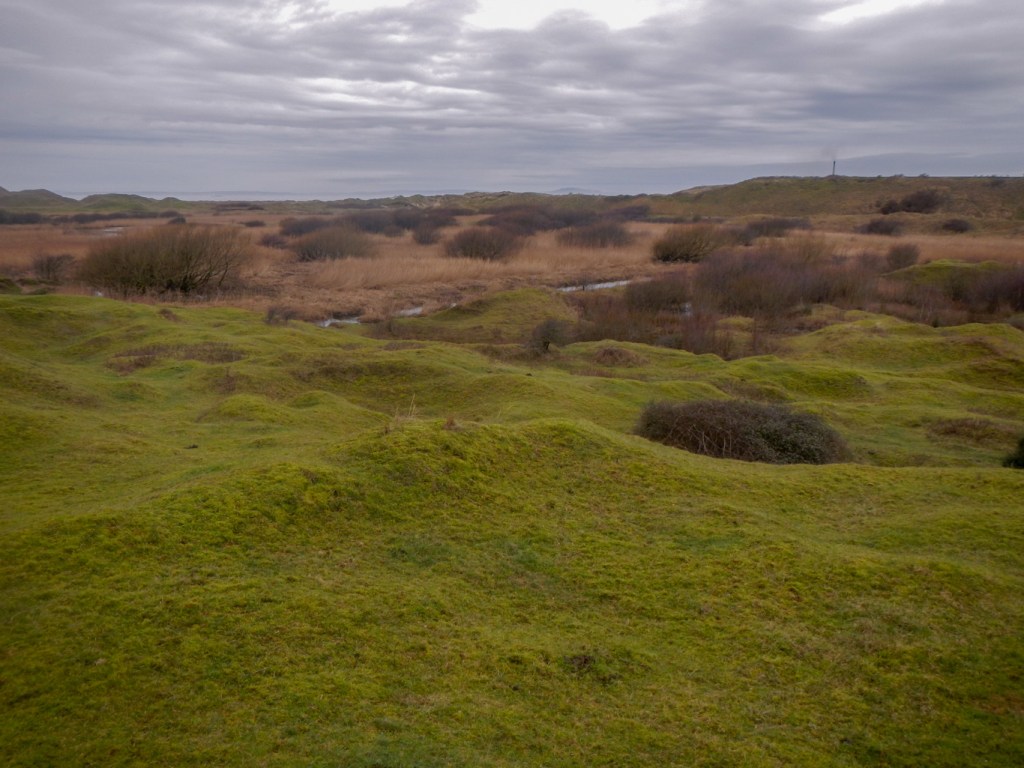
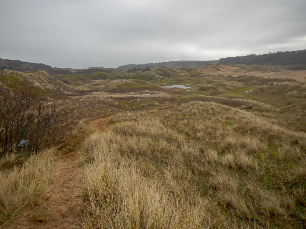
The area of dunes is enormous – Kenfig is part of the largest active dune system in Europe although it was once part of a much bigger dune system formed about 10,000 years ago.
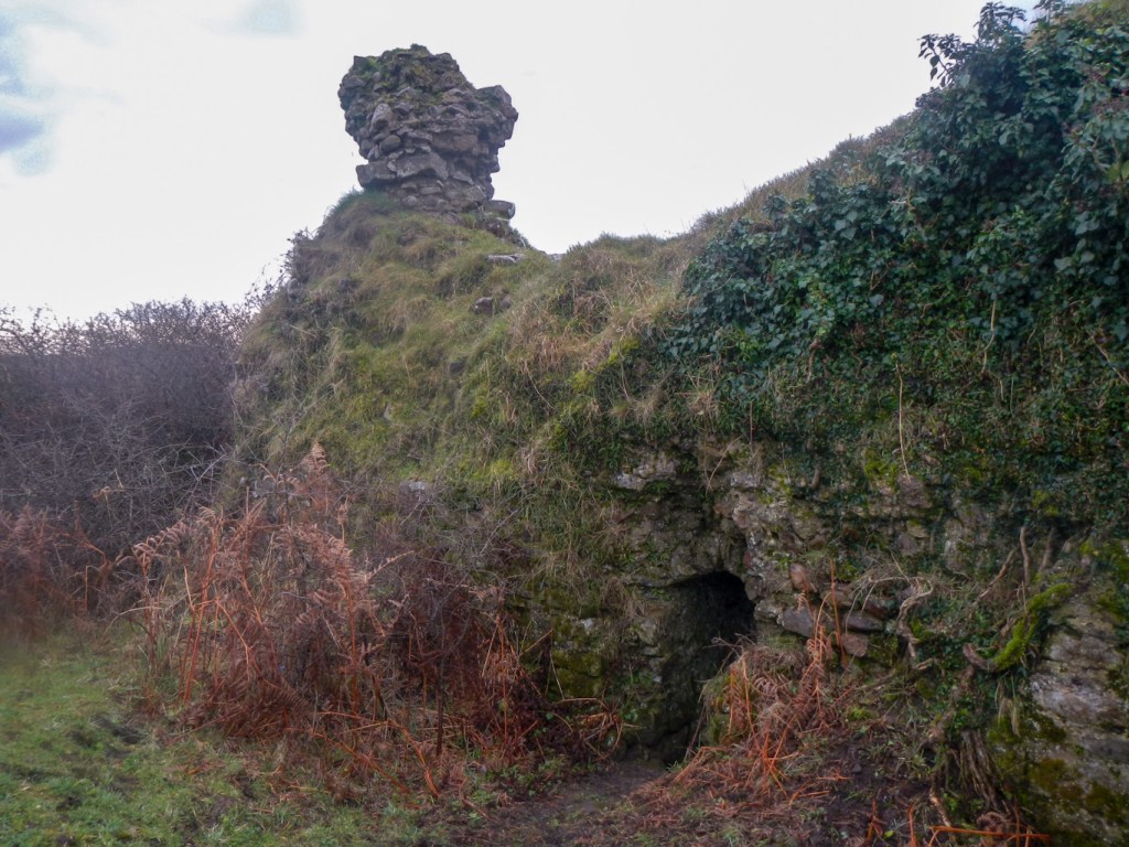
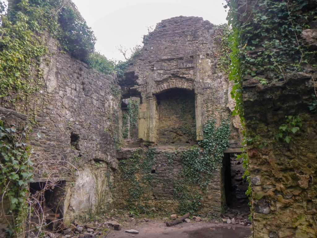
The area was once a thriving settlement with a population of up to 1,000 people by the middle of the fourteenth century. Situated on the main coastal highway through South Wales, it was a centre for trade and manufacturing especially leather working. Continuing encroachment by sand and persistent flooding by a series of abnormally high tides led to people moving further inland. The church was dismantled and rebuilt inland at Pyle – upside down as small stones from the top of the original were laid in the bottom courses of the new building. All that remains visible are fragments of the castle, which was the first area I visited on the north east of the dune system. The rest of the settlement lies below the sand.
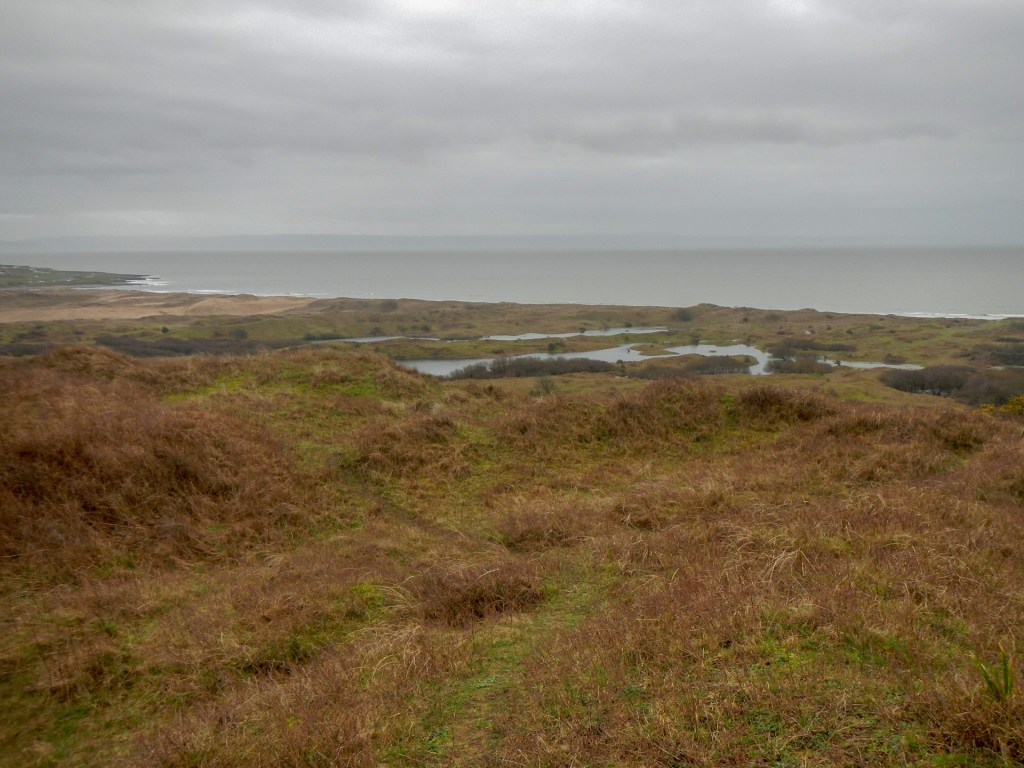
I continued my walk, noticing that in places the paths were flooded – which seems unusual on sandy ground. Although the sand is up to 12 metres deep, it overlays large areas of clay which stop the water draining quickly and mean that Kenfig is one of the wettest dune systems in UK.
Grazing on the dunes together with machine digging of some areas is carried out so as to maintain the dunes as an active system. This ensures that biodiversity of the area is maintained. The dunes contain approximately 500 species of flowering plants including about fifteen species of orchid, notably over 90% of the UK’s population of fen orchid. Over half of the fifty-nine UK species of butterfly have been recorded at Kenfig.

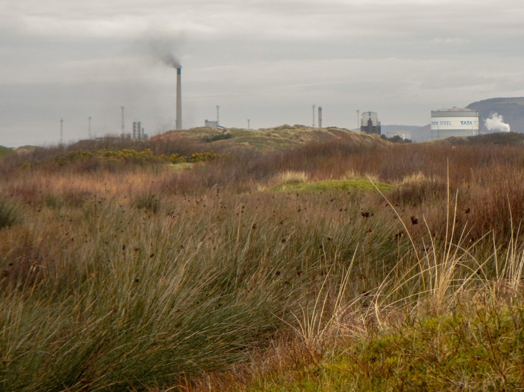
It is amazing that this area is so close to the M4 and also near to the heavy industrial areas at Port Talbot.
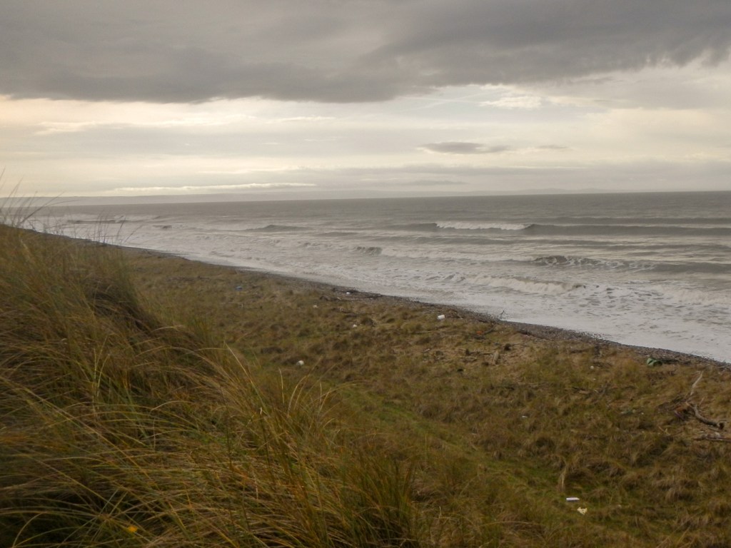
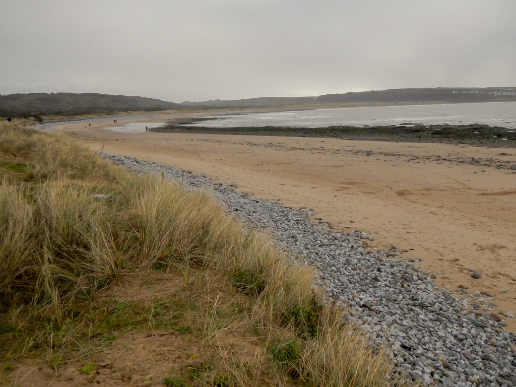
As I walked along the path near the foreshore, there were amazing views all the way to the North Devon coast on the opposite side of the Bristol Channel. Unfortunately there was also a lot of plastic waste washed up by the tide, in addition to the driftwood.
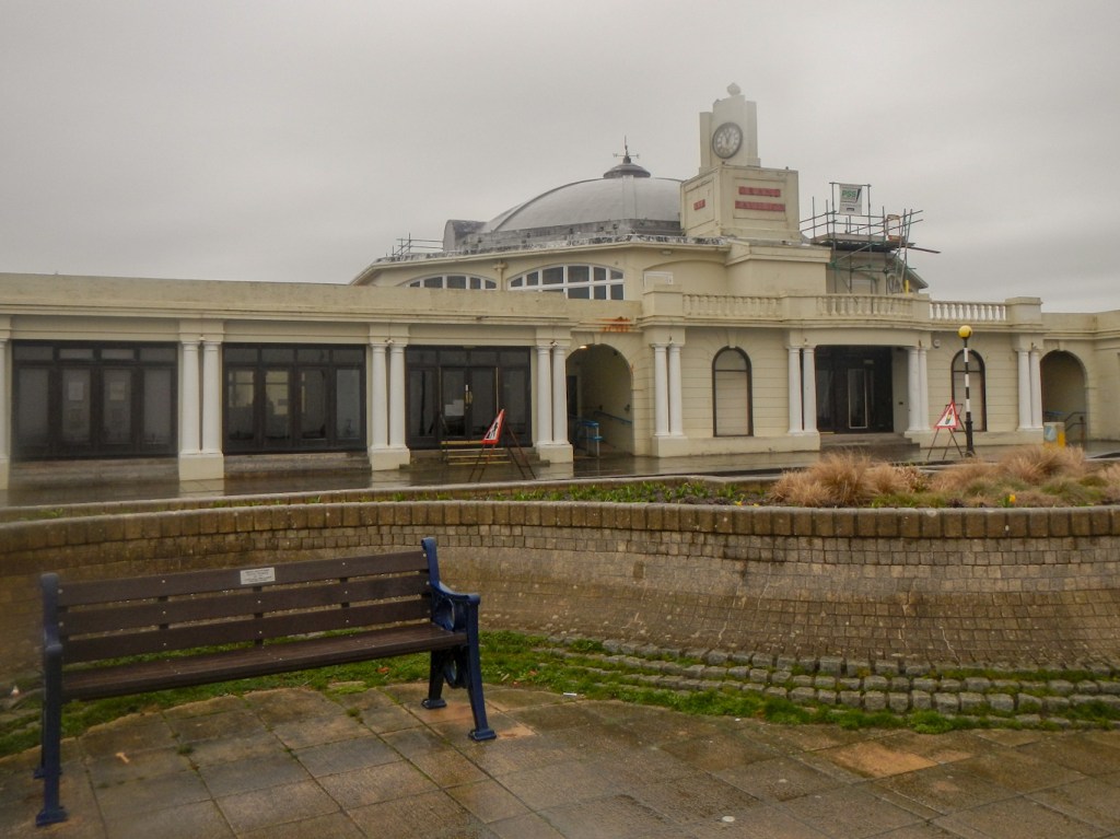
I ended up following the coastline all the way to the centre of Porthcawl. I sat in a Victorian seafront shelter near the promenade to eat my lunch – a convenient shelter from the rain.
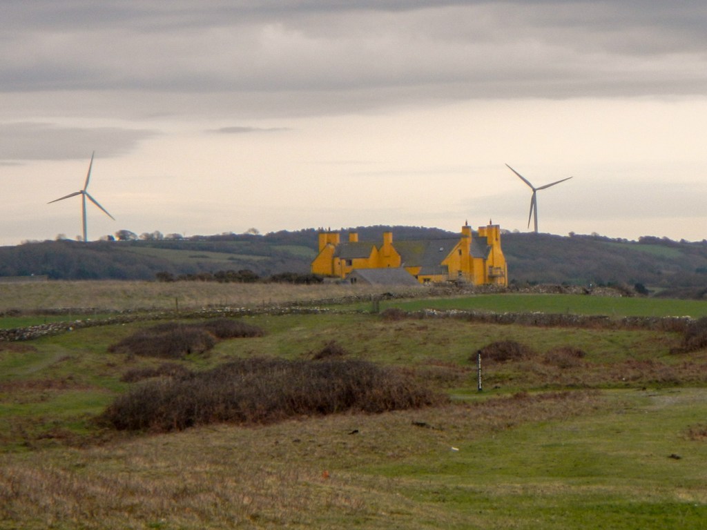
I made my way back to the dune area by walking through the town then following the quiet Moor Lane. I walked past Sker House constructed about 900 years ago as the grange of Neath Abbey, a Cistercian monastery. It was rebuilt in the sixteenth century, is a Grade 1 listed building and has been described as one of the main Elizabethan houses of South Wales.
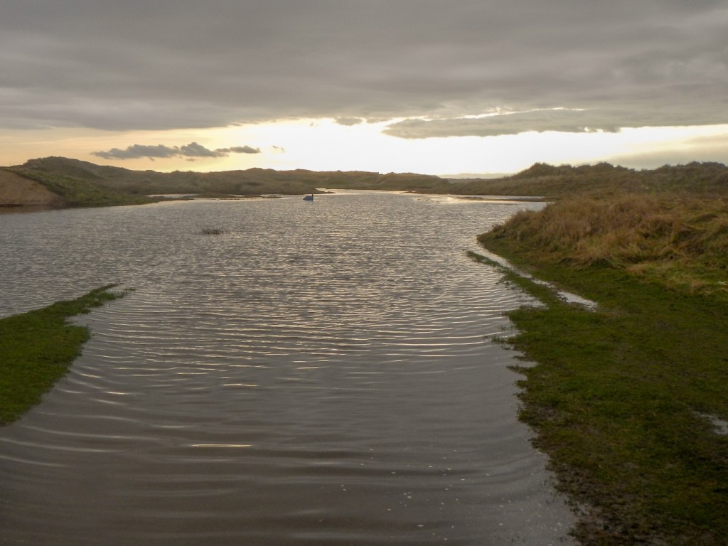
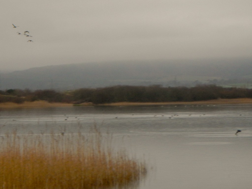
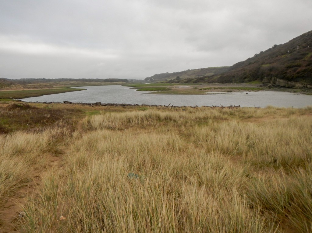
I was back on the dunes and made my way to the visitor centre where I chatted with a local couple as I drank a mug of coffee. After my coffee, I walked to Kenfig pool. It’s seventy acres in area and is the largest natural freshwater lake in South Wales. There were a number of over wintering wildfowl, but I wasn’t fortunate enough to see an otter.
The path further round the lake was flooded and the rain was heavier so I made my way back to North Cornelly along a quiet lane, some muddy footpaths and across the motorway on a footbridge.
It had been a good day and I had enjoyed exploring an area I had never visited or even heard about previously.
The next morning, I drove to Newton Burrows, just to the east of Porthcawl, in order to explore the Merthyr Mawr dune system. This, like Kenfig, is a National Nature Reserve. However I had been here before both as a school (Avon County) and university (OUAC) runner – staying at Candleston Farm which was a renown training centre for cross country running, owned by the Welsh AAA but let out to other athletics organisations. This was in the 1970s and 1980s and we were following in the footsteps of the great Steve Ovett who travelled all the way from Brighton to train on the dunes in order to increase strength and endurance.
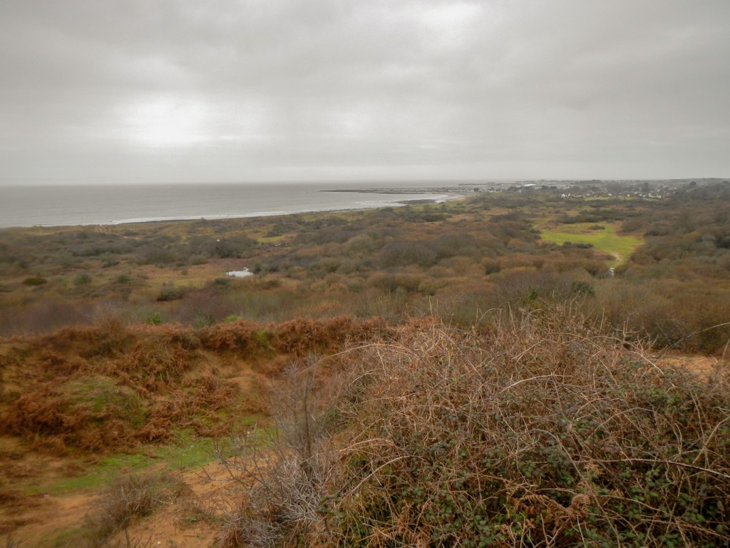
I followed the Wales coast path to reach the wide and meandering Ogmore River. Although the weather seemed brighter, the views to North Devon weren’t quite as clear as the previous day.

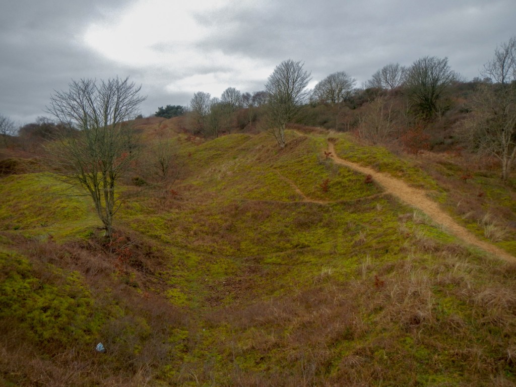
I continued on the path to reach the reserve car park. Of course, I couldn’t come here without climbing the big dipper. At sixty-one metres, this is the second-largest sand dune in Europe, smaller only than the Dune of Pilat in Western France. The dunes at Merthyr Mawr were used for desert scenes during the filming of Lawrence of Arabia. This dune with the challenging run up it was the “highlight” of our visits to Merthyr Mawr during my youth. It is still as large and steep as I remembered and the sand is just as soft, but this time I could take time to appreciate the view from the top.


I returned to the car park to visit the remains of nearby Candleston Castle, a fortified manor house built between the fourteenth and seventeenth centuries. I was amazed by the number of fireplaces!
I couldn’t visit the area without being tempted to look at Candleston Farm, where I had stayed all those years ago. This meant wading along some flooded paths but fortunately my boots and gaiters kept my feet dry. The farm appears to be home to Wild Spirit Wales (a bush craft centre) nowadays. However it looked much the same as I remember. I’m not sure how the minibuses managed to get up the track to it, especially in the dark one evening after we had visited the metropolis of Bridgend to watch “Convoy” at the cinema.

I walked on and up to the top of the limestone ridge. It is this ridge with the sand on top which supports the large height of the dune system. The views from the ridge over the low-lying flat areas which were flooded (dune slacks) are magnificent.
The sand has become stabilised with vegetation growth. However this doesn’t help the biodiversity and so cattle and sheep have been put out to graze in addition to some mechanical digging. This preserves the area as an active rather than a fixed dune system and promotes biodiversity.
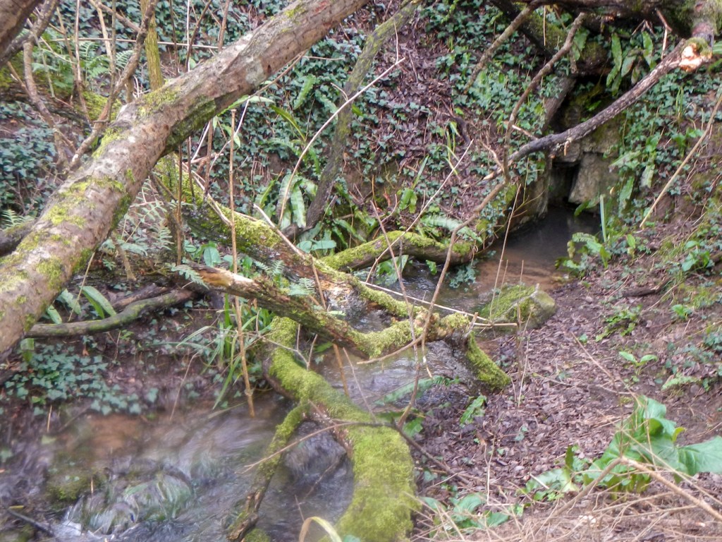
I descended to take a look at Burrows Well, a limestone spring below the sand and unique in Wales.
I climbed again and made my way back over the dunes towards Newton. At a high point with magnificent views towards Porthcawl, I noticed a plastic box. It contained a notebook and I added a few words to the other notes made by visitors to the view point.
My second day exploring the dunes had been as good as my first. It was all much as I remembered it from my previous visits, although it was sad to see how much litter there is near some of the paths. I’m not sure how we didn’t get lost as we went out without a map, but somehow we always survived and ended up back at Candleston Farm even without all the risk management which would be in place nowadays.
