1 October 2023
Kington welcomes walkers! This was abundantly clear as I strolled through the quaint Herefordshire Market Town where there were plenty of footpath signs, a shop dedicated to walkers and posters still up following the annual walking festival just over a week previously. I made my way uphill through the churchyard and then further uphill. The road became a track and the track a path as I moved on to the open land of the Hergest Ridge.

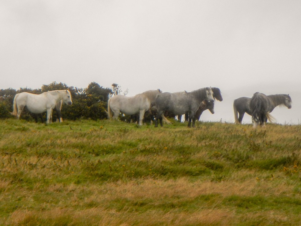
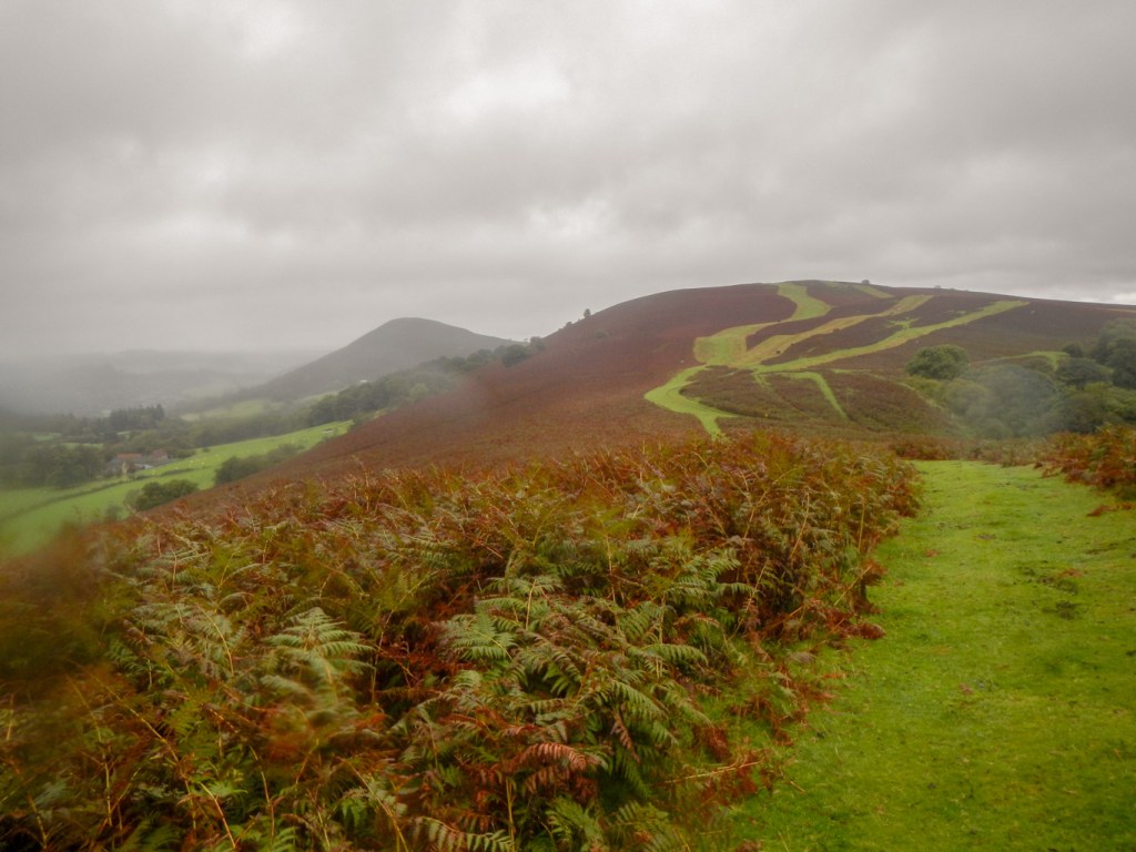
A few other walkers were heading in the opposite direction but I overtook an elderly man going the same way as me and taking his time to enjoy the views. There were particularly good views behind me although ahead it wasn’t so clear and it even looked as though there were some showers of rain in the distance.
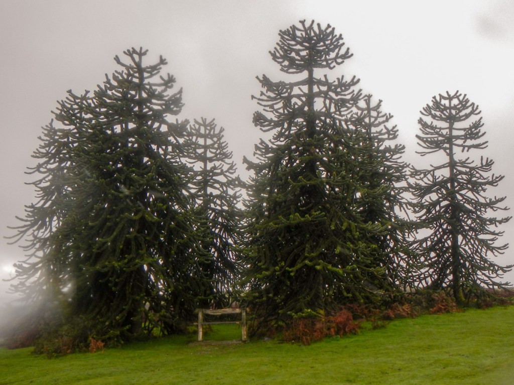

I passed a group of monkey puzzle trees which looked rather incongruous on open hillside near the English / Welsh border. I’ve found out that Dick Banks planted them on top of the hill, having seen similar trees growing on mountain tops in Chile in the early 1990’s. The Banks family bought the estate including the fortified manor, Hergest Court, in 1912. It is still owned by the family, five generations of whom have now gardened and planted exotic trees on the estate.
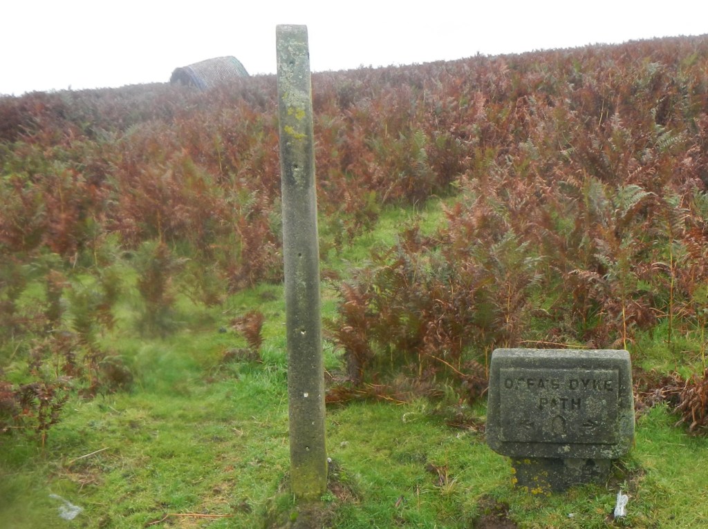
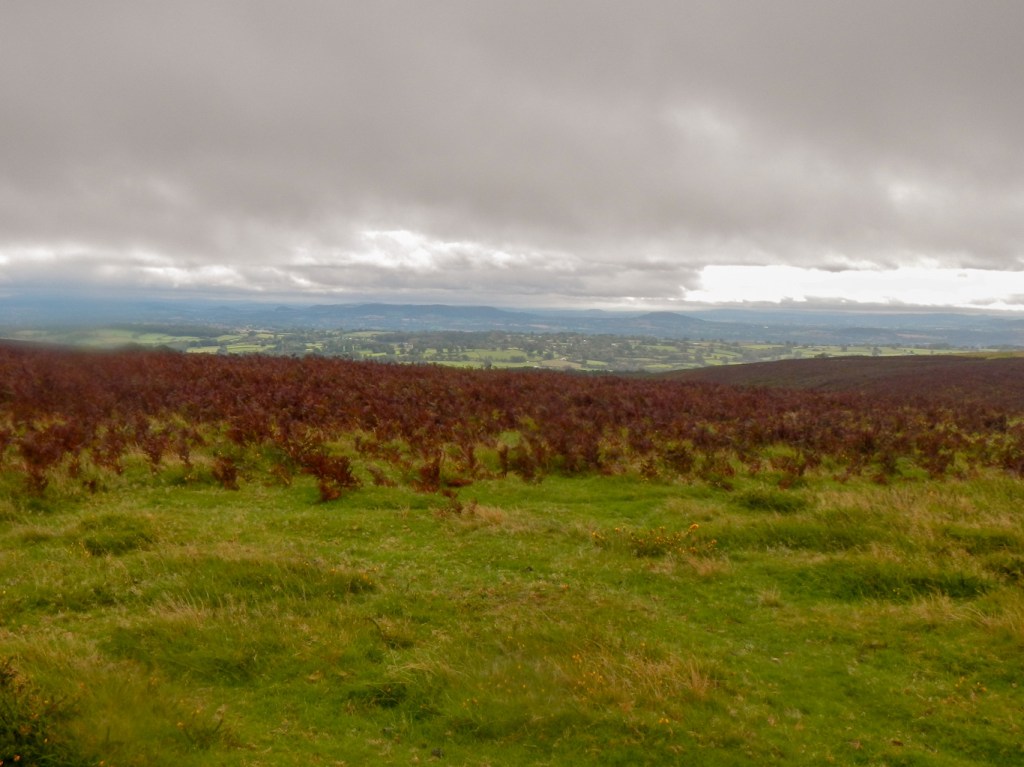
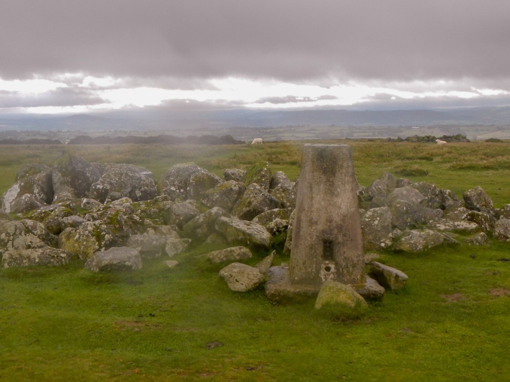
I diverted from the signed Offa’s Dyke trail to reach the trig point at the summit. There were views back to the Shropshire hills and forward to the Welsh hills but unfortunately it was looking increasingly as if I could expect to get wet.
However I managed to eat lunch before it rained too much, sitting on a very wet piece of grass, prior to my descent to the village of Gladestry at the end of the hill ridge.
It was quite warm so I was reluctant to put on my waterproofs. However, as I climbed the very steep hill on the minor road out of Gladestry, it began to pour with rain so I had to stop and pull on full waterproofs.
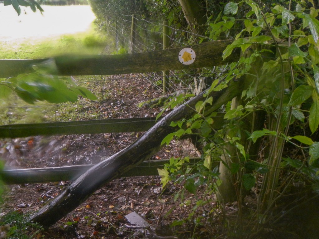
The route went along a signed bridle path with an enormous number of gates to open and close. It was slow going as it seemed as if all the catches operated differently and many of the gates needed lifting as they sagged after being opened; some were only closed using rope or string tied in convoluted ways.
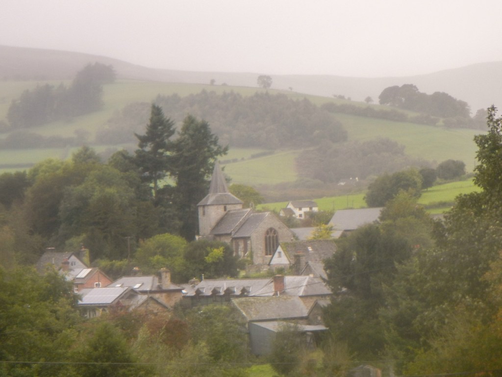
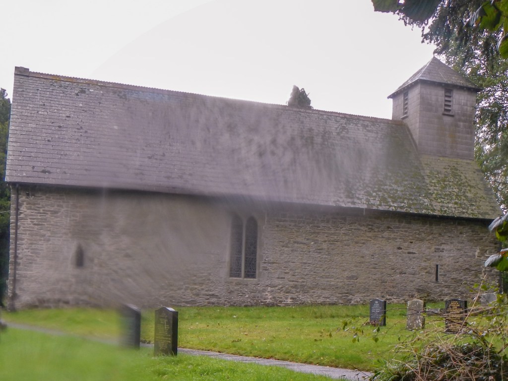
Eventually I was on a country lane again and followed a sign to Huntington Church (a no through road for vehicles). The road seemed to pass through the middle of a farm, but the gates were open. The road was flooded in places too. To my surprise, the church was unlocked so I sheltered for a few minutes to rest my legs out of the rain. The north wall is the oldest part of the church, dating from the thirteenth century. The square bell tower was added in the seventeenth century.
Unfortunately, the path I was meant to take was signed but there was a fence with no stile or easy way over. Moreover I could see a couple of cows with calves very close to the route. I found a way round on the map that involved retracing my steps back to the junction with the sign to the church.
The rain became heavier, although I kept dry under my waterproofs. The main problem was the touch screen on my waterproof GPS – the rain drops on it were making it change views when I didn’t want that to happen.
I reached a lane with a sign “Unsuitable for motor vehicles”. That didn’t stop three off road motor bikes speeding past me. Clearly numerous motor bikes had gone the same way and churned up the grassy centre of the track which made walking difficult. The advice about motor vehicles was clearly sound – I reached a ford on the track. In the rain, I hadn’t been studying the walk directions. I missed the stile that I realised later was said to be on the left of the track. Apparently this would have led me to a footbridge. The ford was through the River Arrow. Particularly with all the recent rain, the deepest part was around midway towards my knees. I had forgotten that I didn’t have gaiters on under my waterproof trousers so unfortunately my feet got soaked with the water well above the top of my walking boots.
It was tempting to give up on paths once I reached the next minor road. I was beginning to think that it would have been better to have walked back over the ridge reversing my walk of the morning. However I would have missed views up to the Hergest Ridge. however I persisted with the next off road section. It was signed as part of the Herefordshire Trail, with a yellow disc and a red apple in the centre as well as a logo – “Herefordshire Trail, Devised by the Ramblers”. I don’t think the trail can be particularly popular as it was quite overgrown in places. Moreover, particularly in the wet weather, the stiles were tricky to clamber over.
However, Kington was getting nearer and I entered the town through some playing fields and the recreation ground. It was only a thirteen mile or so walk but it felt as though I had hiked further. I was delighted that the Burton Hotel, where I had booked to stay in Kington, had a lovely indoor swimming pool and a marvellous jacuzzi – and that I had my swimming costume with me. The staff were clearly used to walkers as they had a drying room. However I had managed to stay dry under my waterproofs and I had left my wet boots in my car as I wasn’t walking in them the next day.

It had been a tremendous day walk, particularly over the Hergest Ridge. In good weather, the views would have been even better.
