25-26 May 2023
The head of Loch Reasort is spectacular and I had camped there previously when I walked from end to end of the inhabited Outer Hebrides in 2017. I was keen to return.
On this occasion, I decided to commence my walk along a track passing up Gleann Mhiabaig; last time I had started from a path off the A859 just north of the Scaladale outdoor centre.
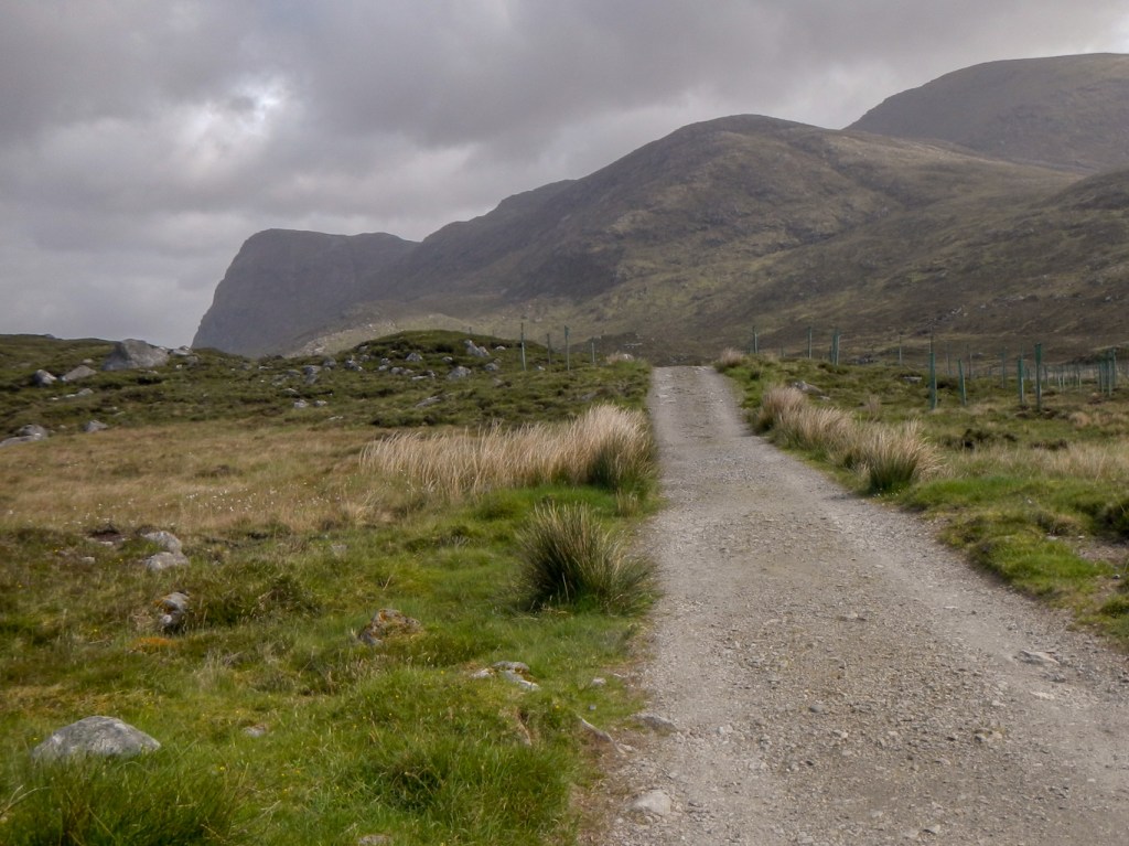
The track up the glen passes a bird hide promising possible sightings of golden eagles on the cliffs of Sron Scourst. However, I was out of luck!
I continued along the track past a fishing bothy on the shores of Loch Scourst and eventually reached the end of the track near Loch Bhoisimid.
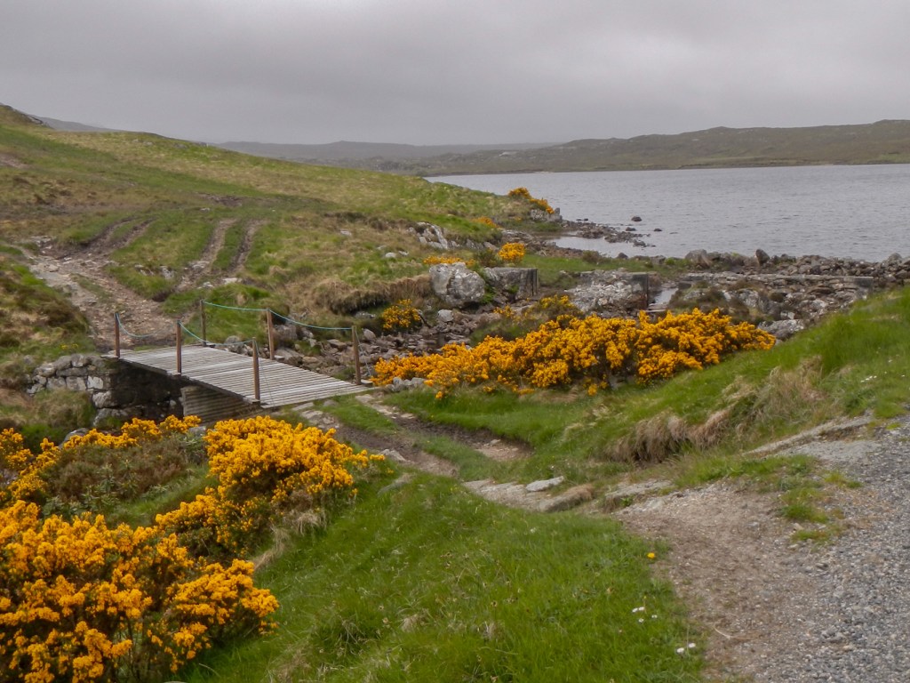
I took the obvious path to the right, descending to a footbridge then ascending towards Loch Chlestir. A man on a mountain bike passed in the opposite direction. This would be my last human contact until late the following morning. Moreover, there was no phone or data signal so I was certainly on my own. I stopped and listened – there was absolute silence – truly remarkable. Of course my husband was fully aware of my intended route and expected arrival time at the other end.

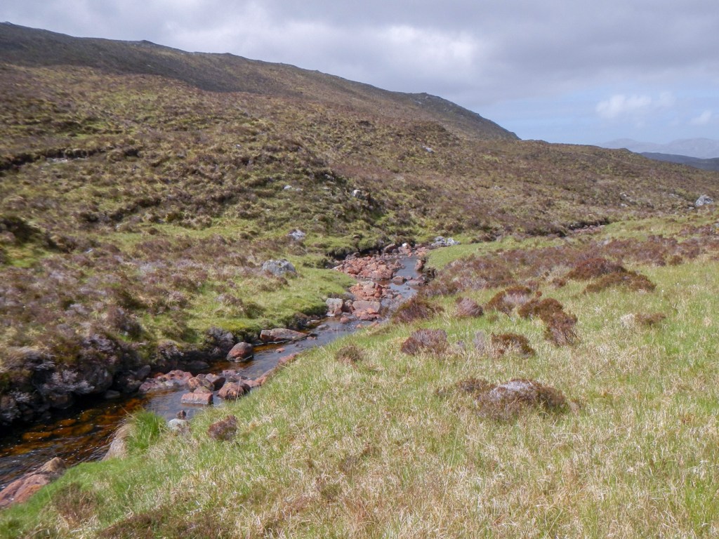
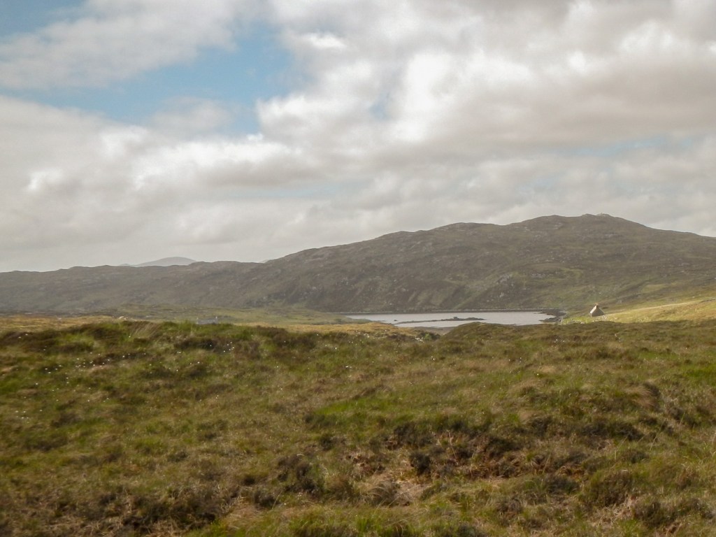
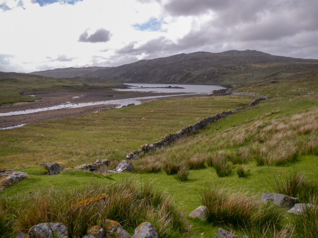
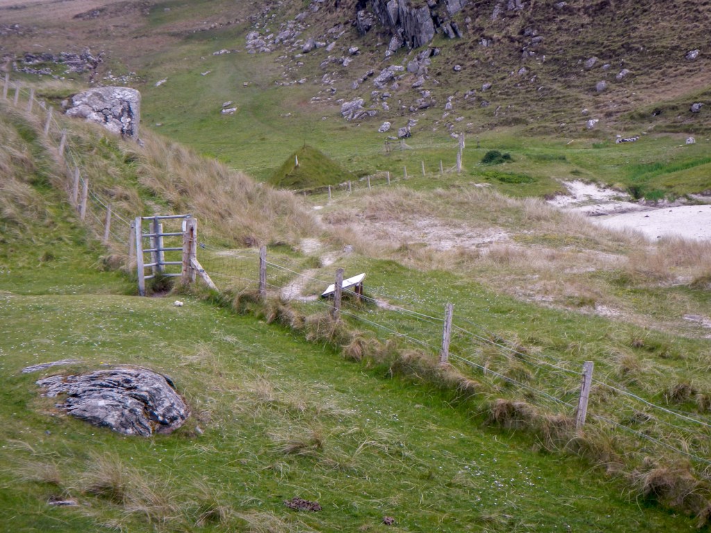
I left the path just before I reached the loch, heading across pathless rough and boggy ground in a generally northerly direction to reach the stream Abhainn a Chlair Bhig, which I would follow down to Ceann Loch Reasort. There is no defined path, although there are animal tracks which can be followed at times. I followed the east bank of the stream, just in case it became un-crossable nearer to Loch Reasort.
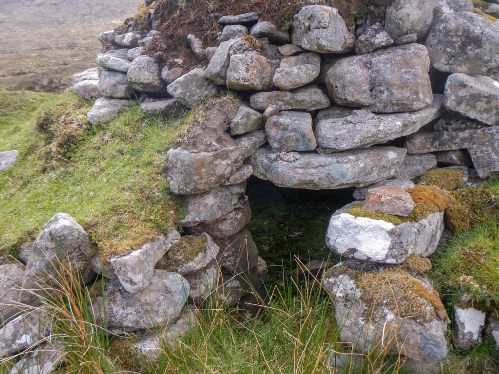
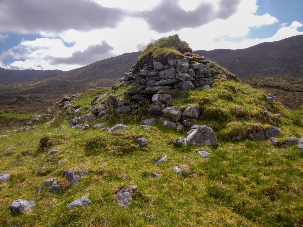
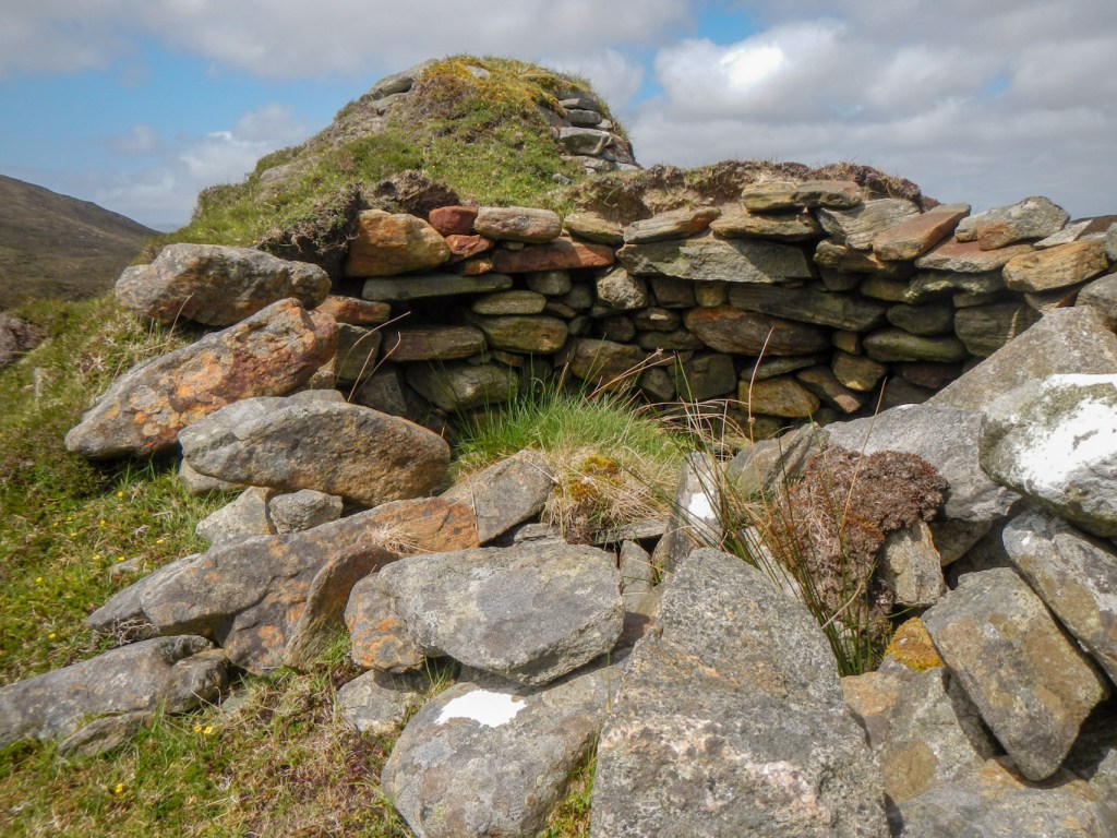
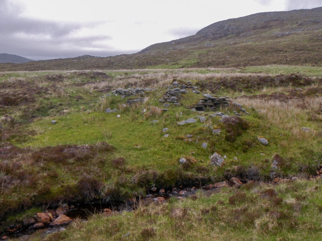
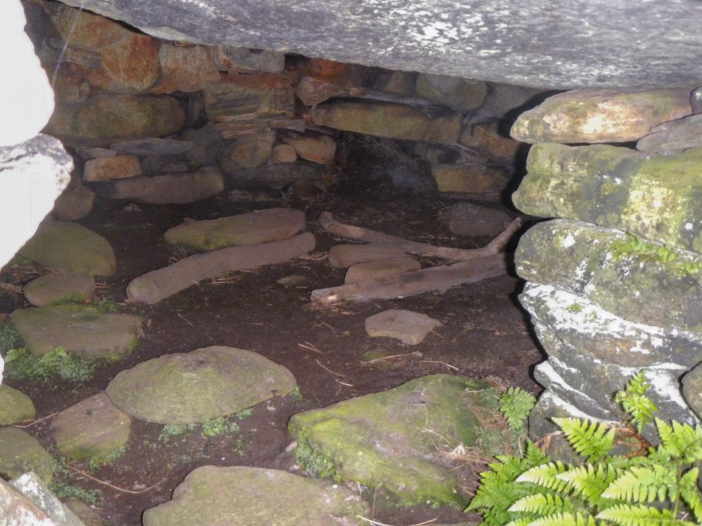
It was of course slow going, carrying a backpack with camping equipment and there being no defined path. Eventually I reached the beehive huts and old shielings marked on the 1:25,000 map. The beehive huts are thought to have been constructed in medieval times. The lower layers of stone were laid horizontally while the upper courses were overlapped in decreasing concentric circles and finally capped with a copestone to give the beehive shape. Once covered in turf, they made an excellent wind and waterproof shelter.
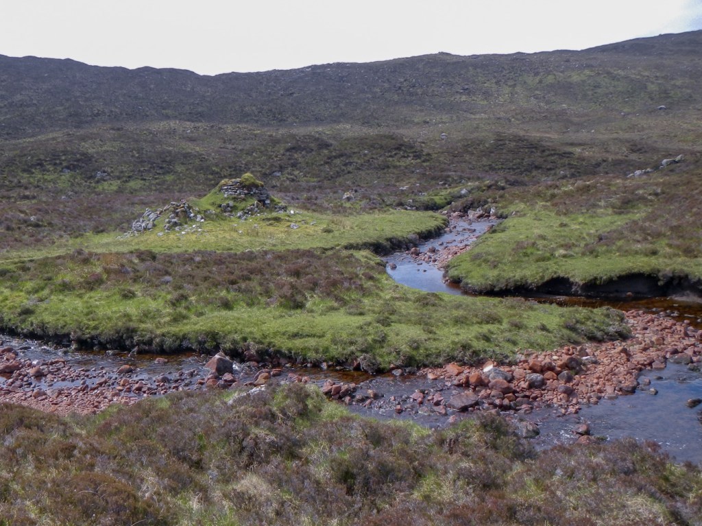
I was able to cross the stream to explore them more fully. I could make out a doorway. There appeared to be a single building which was reduced to a circle of stones and a double beehive which was better preserved.
I left the huts, recrossing the stream, and continued to make slow going over rough ground before crossing a tributary stream to reach the head of Loch Reasort.
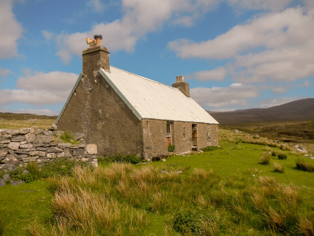
The door of the building that I had camped in front of six years ago was broken down, revealing a large saw and some fishing nets amongst other items.
I walked on up to a row of ruined shielings and then down on to the old lazy beds with the undulations preserved.
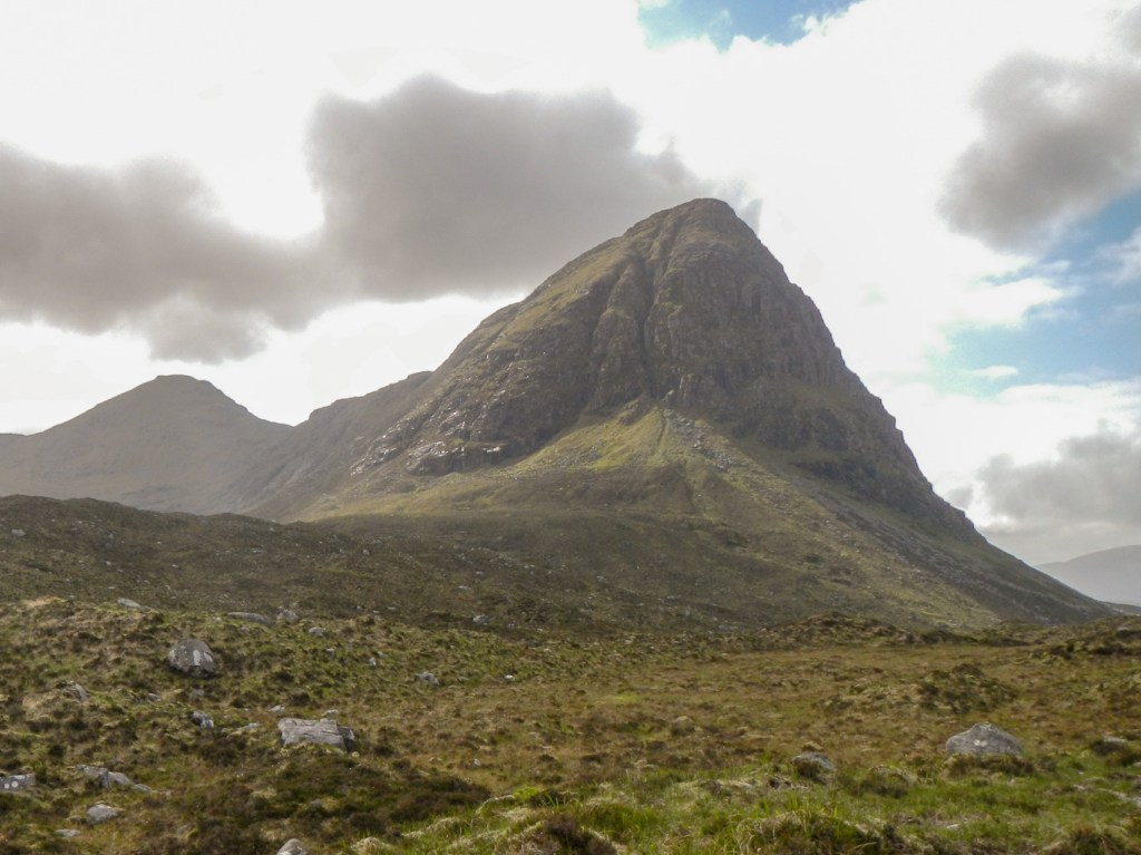
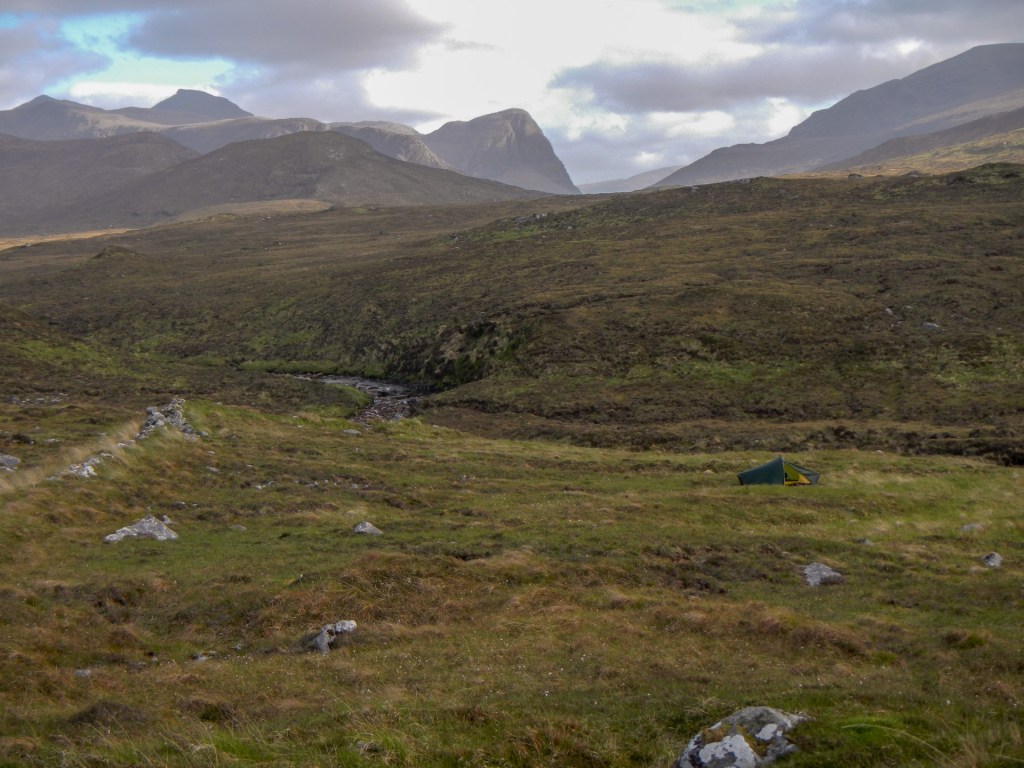
I wasn’t keen to camp in front of the building with the broken door and so I found a flat dry area behind the building to pitch my tent. it was sunny but windy so I was fortunate that the midges stayed away. I enjoyed superb views over the Loch and up to the obvious trig point on Beinisbhal, just to the west of north.
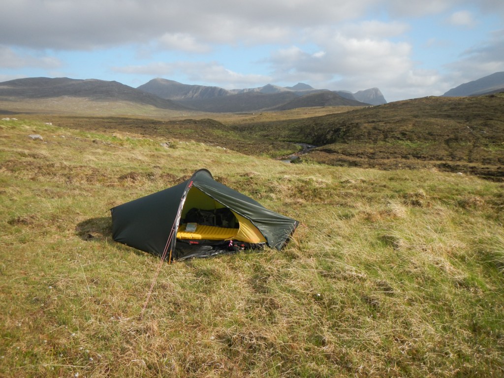
The night was dry and it wasn’t really dark at all as the skies were clear of cloud and the moon provided light. The wind reduced overnight. By morning there was mist over the hills. My tent was more or less dry!
I was ready to leave soon after 08.00am and began by following an obvious track from the area that had previously appeared to be enclosed near the building. Unfortunately the track stopped after a few metres. However, I turned on my Satmap that I hadn’t used at all the previous day. I could see a path marked on the 1:25,000 map going all the way to Loch Morsgail.

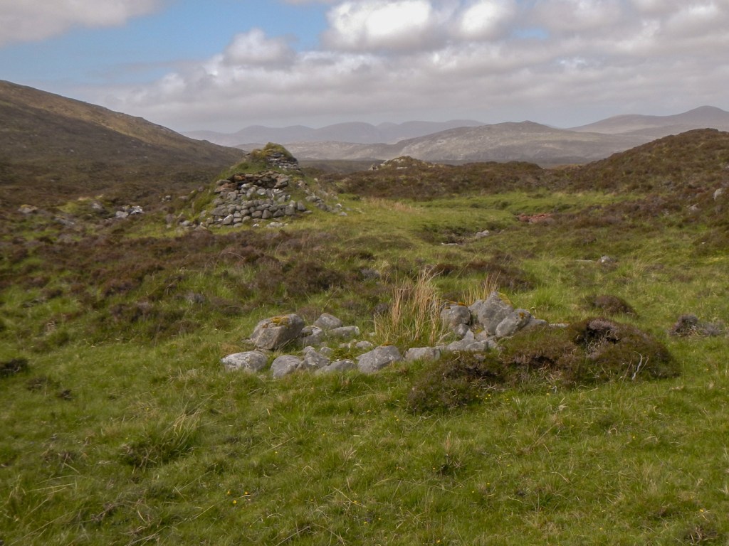
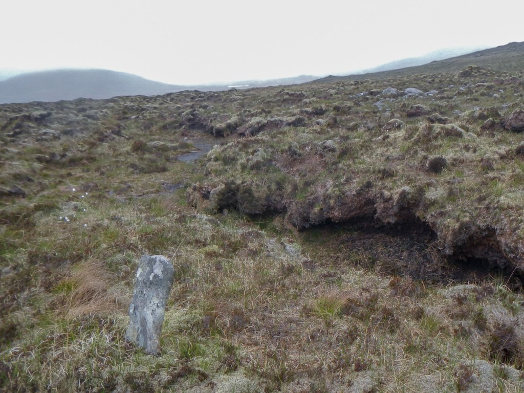
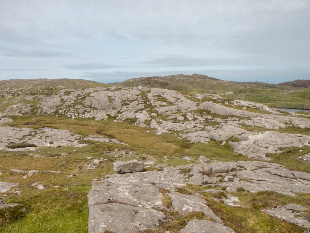
Initially I struggled to follow the path. I remember that last time I had walked this way the weather had turned rainy and I hadn’t found a path at all. As I continued, I spotted a few stones placed vertically on the ground and very occasional cairns; there were also a few vertical white posts on some of the cairns and stones. I had found the old way across the moor, although it would be hard to describe it as a path.
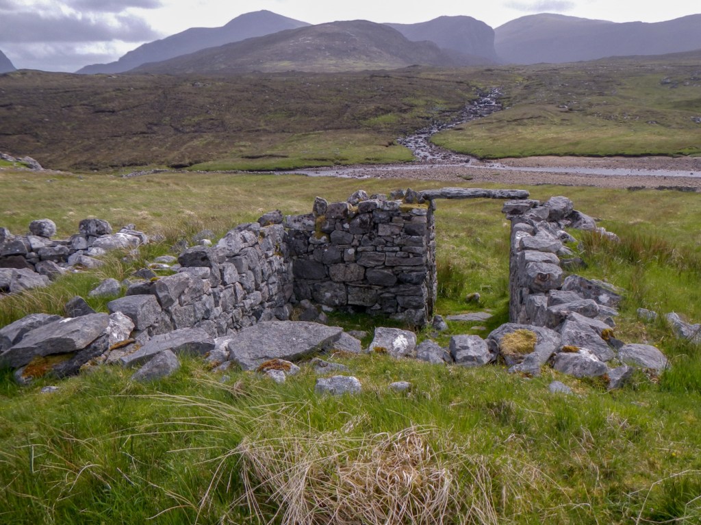
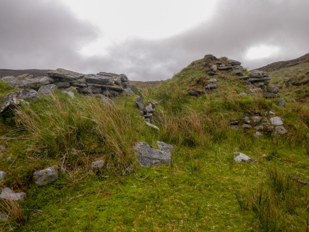
I was rewarded for following the old way by discovering a group of beehive huts – I hadn’t found them last time and they’re not marked as such on the OS maps.
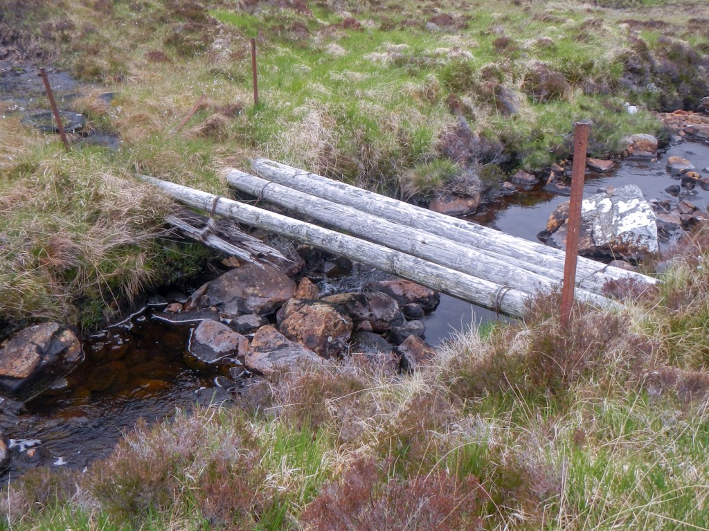
First I had to cross a stream using a rather precarious looking bridge.
The huts were similar to those I had explored the previous day with a single and a double near a stream. They were better preserved and I explored them.

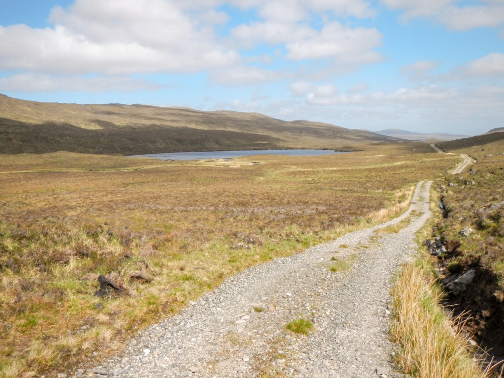
From this point, there was a track which had been used by wheeled vehicles in the past. Unfortunately there is no longer a footbridge crossing Abhainn a Loin to its west bank. Hence I walked across boggy ground staying on the east bank. The footbridge marked on the map near Loch Morsgail is still in place. However in order to avoid walking through the land close to the lodge, I followed the footpath round the south then east sides of the loch to a good footbridge at the north east extremity of the loch. From here it was an easy walk down a surfaced track to reach the public road.
Amazingly, my timing was impeccable and I reached the end of the lodge road just as my husband drove up the public road. I had expected to walk down to the “B” road as I had actually arrived earlier than the agreed meeting time.
We spent the afternoon having an “adventure” together walking round part of Great Bernera. It was also an enjoyable walk and a shorter adventure option for Map 13.
Great Bernera is joined to mainland Lewis by a road bridge (since 1953). We parked at Breacleit (the main settlement), enjoying a scenic coastal walk with great views all the way to the north end of the island. There were plenty of signs of otter activity but the otters themselves remained hidden.
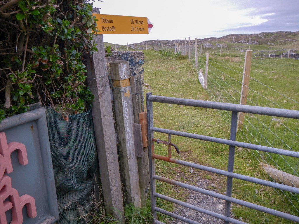

We reached the ancient settlement of Bostadh at the northern tip of the island. A storm in 1993 laid bare a section of the dunes that encroached on the coast and exposed evidence of stone buildings buried beneath the sand. Archaeologists excavated the site in 1996. Just under the surface they discovered a Norse settlement. However deeper down the Norse buildings had been erected on top of eight Iron Age houses thought to date to 500-700 BC. These houses were in a distinctive figure of eight shape, with a large circular structure linked to a smaller circular projection by an internal doorway. The large area was the main living area, while the small end was probably used for storage. Each hut was connected to its neighbours by tunnels. In many ways, the discovery at Bostadh is very similar to the famous stone village at Skara Brae on Orkney, although the latter was built several thousand years earlier. Remarkably, the hut contents had been perfectly preserved by the sand, up to the top of the walls. The huts were covered over by sand again in order to preserve them. There is a replica which was built in 1998 slightly inland from the actual village location.
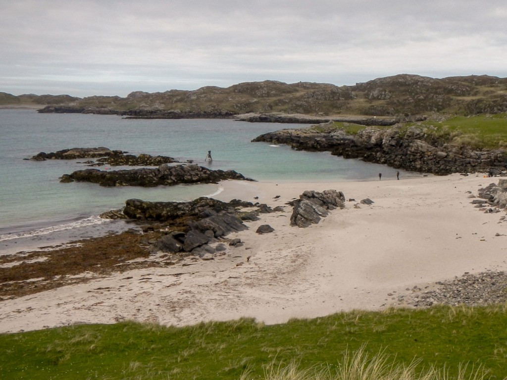
There are a couple of wonderful beaches. Out in the sea there is a Time and Tide bell, one of twelve rung by high tides; it’s part of an art project across Britain.

We turned up the quiet road for the three mile walk back to Breacleit. Golden eagles are known to nest on the cliffs near the road.
As is the case on most of the maps in the Hebrides and elsewhere, there are many more adventures waiting to happen!
