2-3 March 2023
A two night stay in an amazingly good hotel with an American theme located rather incongruously between a large Sainsbury’s supermarket and the elegant Georgian Pantiles near the centre of Royal Tunbridge Wells provided an incredibly convenient location to explore parts of The High Weald AONB. The area was designated in 1983 and is the largest AONB in south east England and the fourth largest in England and Wales. The AONB is reasonably populated but essentially rural as it doesn’t actually include the main urban areas – so Royal Tunbridge Wells itself is “punched out” although entirely surrounded by the AONB.
My initial plan had been to walk the twenty-seven mile Tunbridge Wells Circular walk but I discovered that the walk has been divided into four smaller circular walks each starting near the centre of the town with spokes leading out to the main circle. The hotel location meant that I could walk directly from there along a spoke to the circle, but of course this increased the total walk mileage. Hence I walked three sections as a complete day walk including two “spokes”. My second walk was a half day walking out on my return route of the first day and then completing the fourth section where I was picked up from the point at which I had completed the full circle.
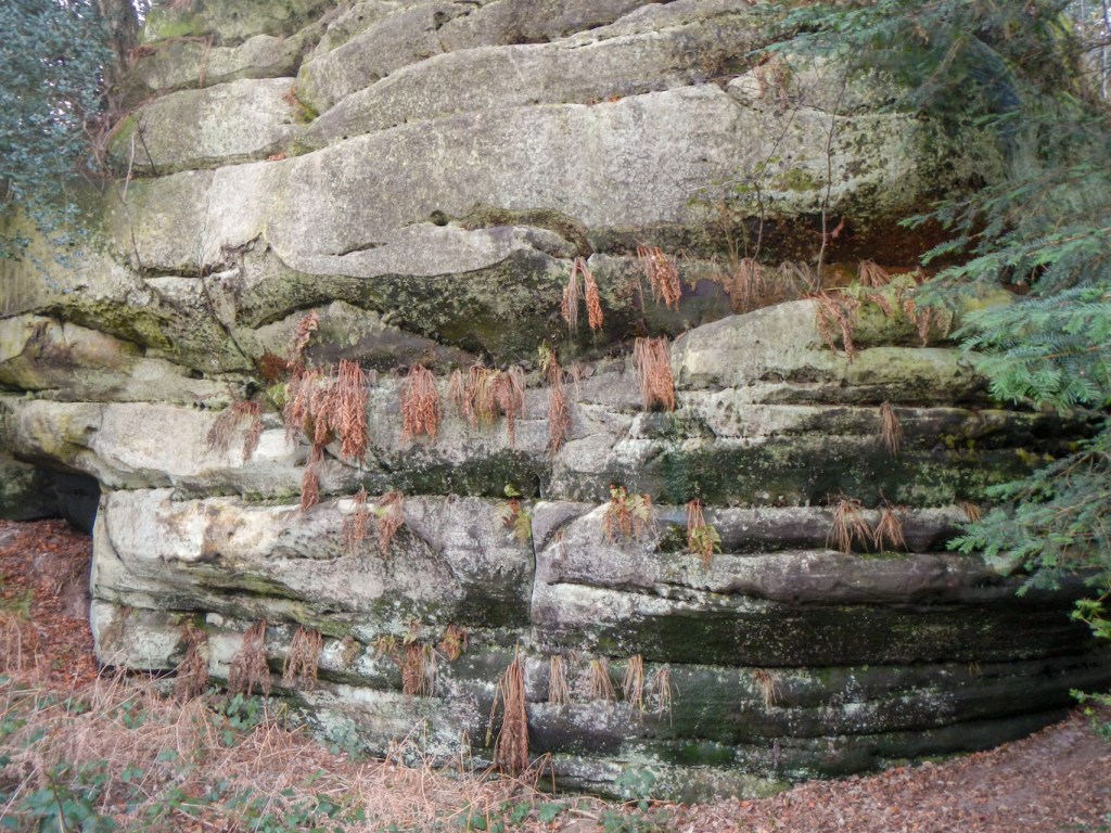
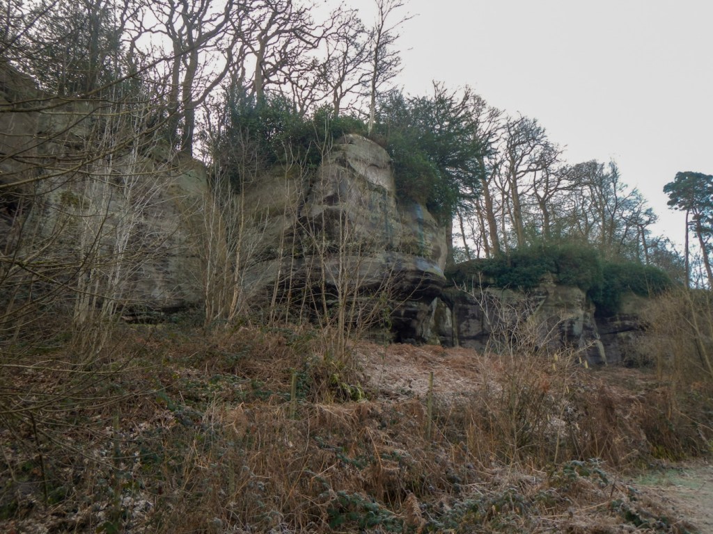
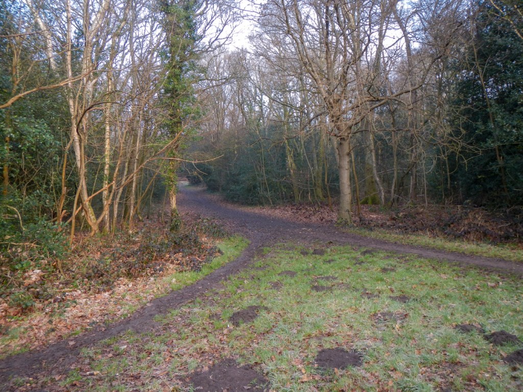
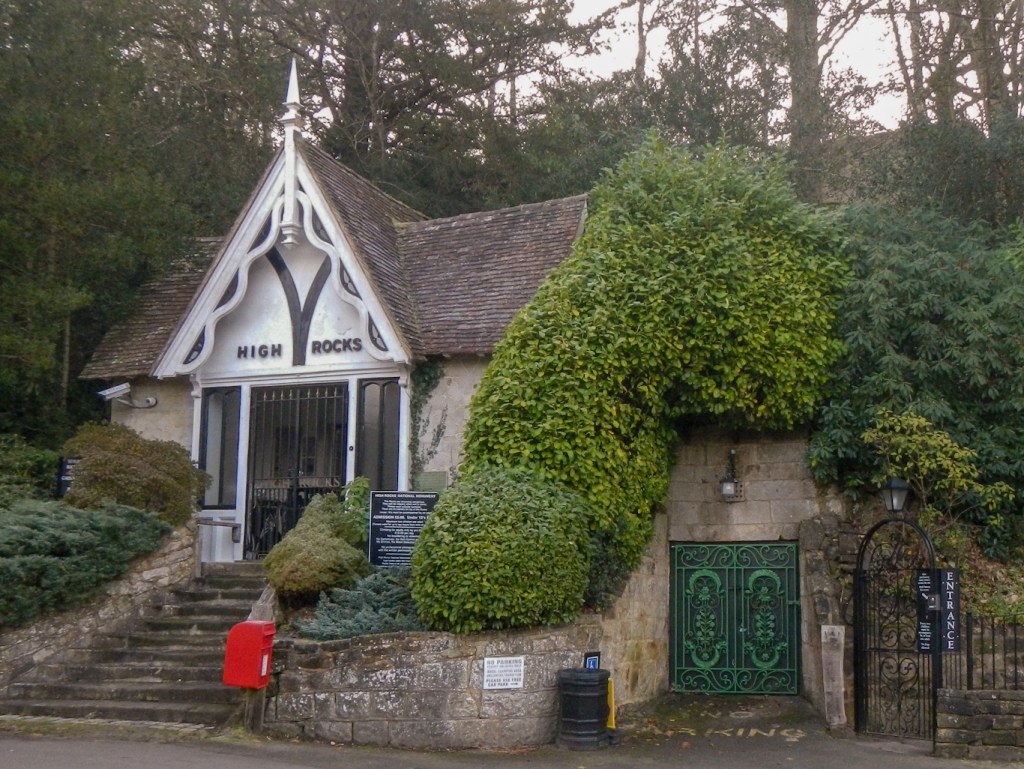
A huge breakfast was available with an amazing choice including steak and eggs which set me up well for my long walk. Tunbridge Wells Common on the route is within metres of the hotel – we could see it from our room. The route runs close to the Spa Valley Heritage Railway Line but no trains were running on a weekday outside the holiday season. However it was a pleasant walk through woodland and passed around the back of High Rocks – a privately owned sandrock outcrop which has been a popular visitor attraction since Victorian times.
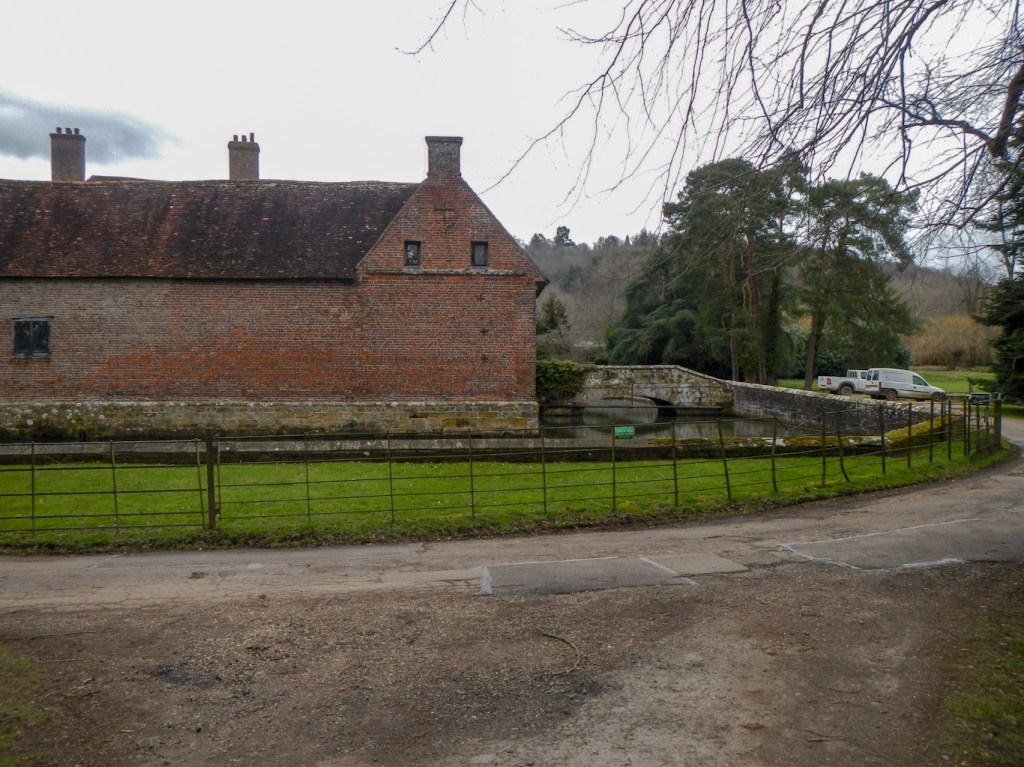
Eventually I arrived at Groombridge Place, a 17th century moated manor with impressive looking grounds, and the nearby St. John’s Church built in 1628 as a private chapel.

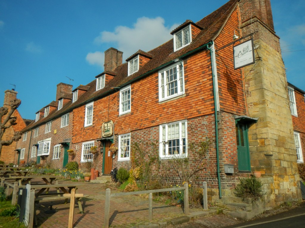
There followed a short length of road walking past The Crown Pub, an old sixteenth century coaching inn which became a smugglers’ base in the early eighteenth century. The Groombridge Gang smuggled tea between the south coast and village, hiding their contraband in tunnels between the pub and Groombridge Place.
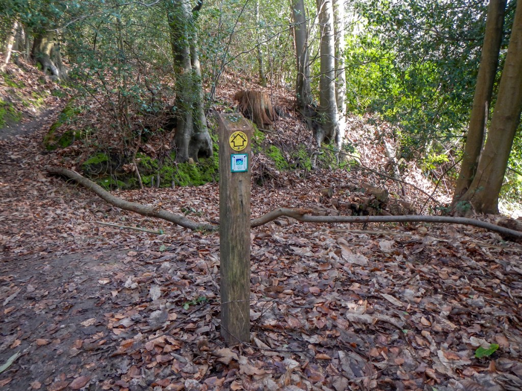
My route went on, following distinctive waymarks, through small areas of woodland and fields.
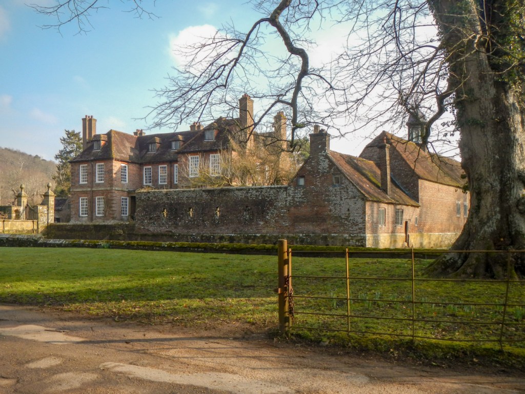
I passed a large mansion, currently under restoration.

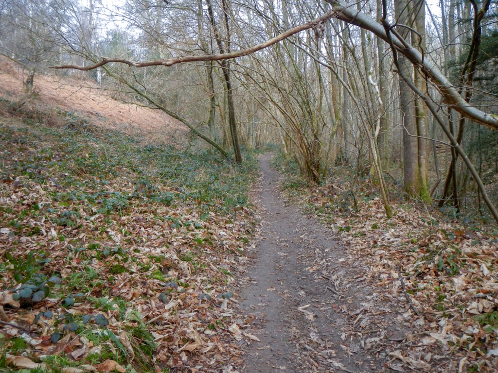
I walked through some ghyll woodland – distinctive features of the High Weald, where steep sided ravines have formed from streams eroding soft clay or sandstone beds.
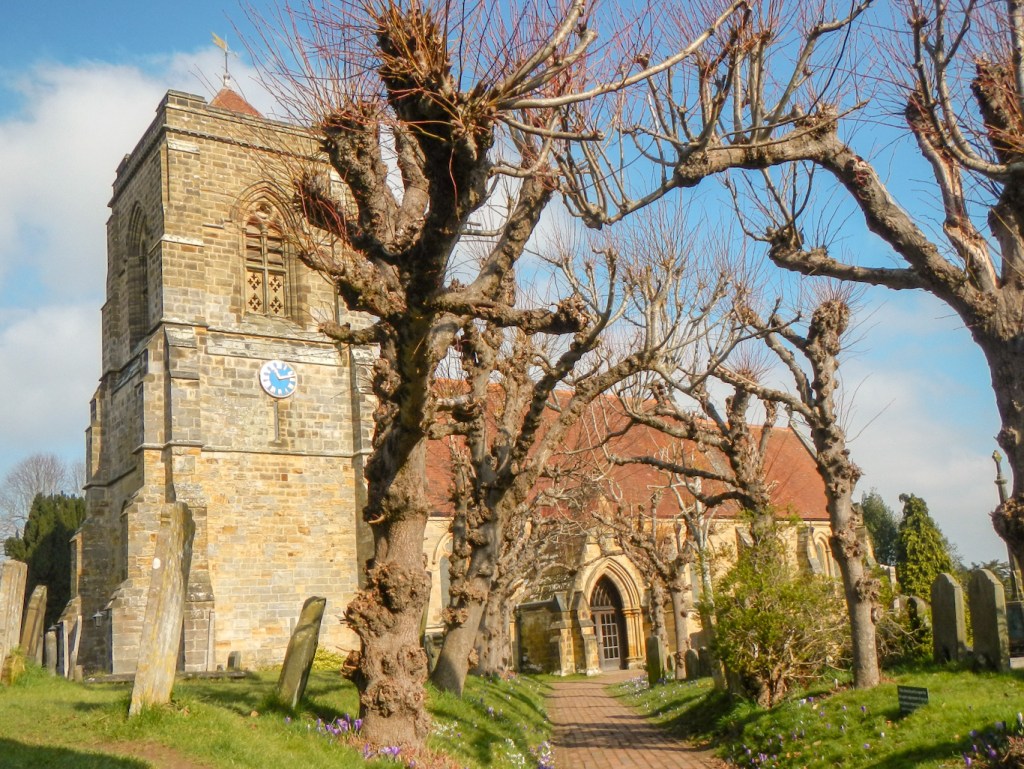
I reached Speldhurst – an old parish with records dating back to 1239. The church of St Mary the Virgin was open and has some very impressive stained glass windows. The angel windows based on Psalm 150 were designed by William Morris. I was so distracted by the windows that I left my Satmap in the church although realised as soon as I got to the lych gate so it didn’t add significantly to my walk.

I had reached the second of the three sections, as a spoke returns to Royal Tunbridge Wells from Speldhurst. However, I continued round the circle, climbing over Southborough Common. This was once grazed as a mix of sandy heathland and wood pasture but nowadays is open woodland with many large and ancient oak and beech trees. I ate lunch sitting on a bench near St Peter’s Church and the cricket pitch. Cricket has been played on the common for over 200 years and cricket ball manufacture in addition to other industries such as forges, tanyards and brickmaking thrived in the area.

After lunch, there was a short stretch walking through a residential area before returning to a more rural landscape. The railway viaduct with 26 arches near Old Forge Farm was being repaired. This area marked the join between the second and third sections of my walk. I walked for a few yards in the wrong direction down the spoke towards Tunbridge Wells, However fortunately I realised that I had followed the “wrong” waymark and was soon back on the third section of the circular walk.

Further walking through woodland and fields, led to where the path crossed busy “A” roads on a junction and then through Somerhill Park. This is the site of a huge 17th century Jacobean mansion surrounded by 18th-19th century parkland. It was home to the Goldsmid family, served as a Second World War prisoner of war camp and was restored in the late 1980s to its current use as an independent school. Unsurprisingly, considering safeguarding and security, the route through the enormous grounds is extremely well marked, along with warnings against straying from the path.
Seeing a dog walker who expressed some surprise as they “never see anyone on this bit of path” and that’s why the dog was twitched by seeing me, served as a warning that there might be difficulties ahead. I could see on my map that the green right of way went straight through the gate. However the sign was more than a little off putting – warning of it being private land guarded by dogs. The alternative was to wade through ankle deep mud on a poorly waymarked diversion. Eventually, covered with more mud than I had seen in the rest of the day put together, I emerged on a minor lane only metres from the gate I hadn’t gone through. I understand why people who own in all likelihood multi-million pound properties don’t want walkers tramping through their grounds, but the right of way on the most up to date Ordnance Survey map definitely passes through. There are many notices barring entry and saying “No Right of Way” near the route but apart from this one they were generally helpful in ensuring that I didn’t stray from the public footpath or bridleway.

After the above delay, I made rapid, easy progress along lanes / tracks to reach yet another independent school (Kent College) and the Grade 1 listed Pembury Old Church of St Peter with a Norman nave and fourteenth century roof.

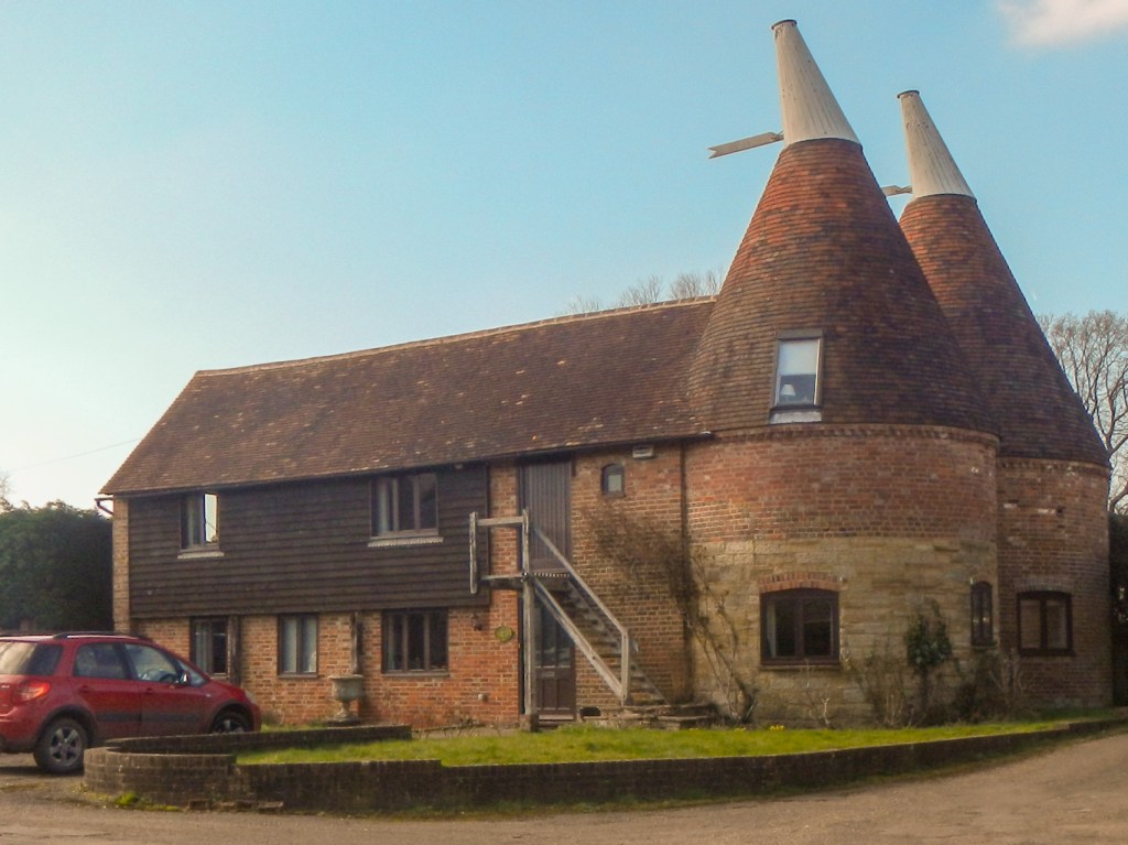
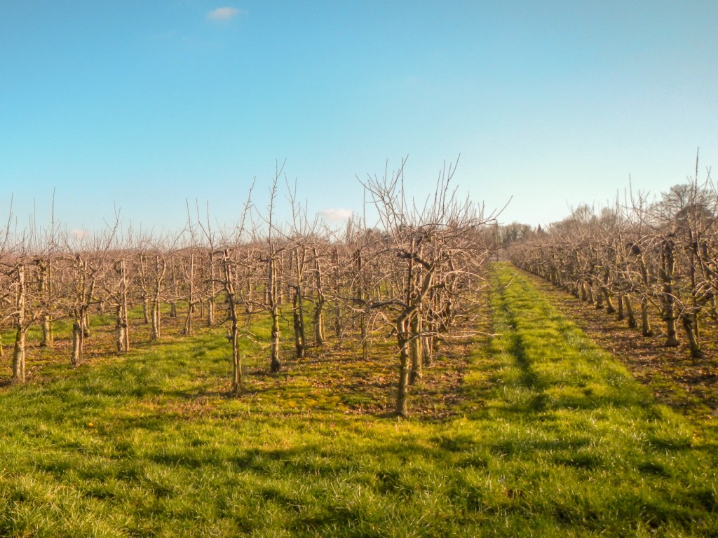
The route continued through orchards that were once hop gardens. I had seen many old oast houses during my walk, all converted into large homes.
After leaving the orchards, my long trek proceeded around the edge of Pembury village before turning on to footpaths and open arable and grassland. I was starting to become concerned about the small amount of daylight time remaining. The bright sun was extremely low in the sky and beginning to set. However fortunately the walk turned on to a narrow and almost traffic free lane so it was fast and easy walking to reach Hawkenbury. This was a village but nowadays is virtually joined with Royal Tunbridge Wells.
I felt overwhelmed by the volume of traffic racing through the main street which, on the map, looks like a quiet minor road. It’s clearly some form of rat run to avoid traffic congestion elsewhere. In the failing light, I missed a turning on the maze of streets to the centre of Tunbridge and emerged near the main railway station. From there I walked along the traditional part of the High Street and through The Pantiles to complete day 1 of my circumnavigation of Royal Tunbridge Wells. My Satmap showed that I had walked just short of 25 miles.
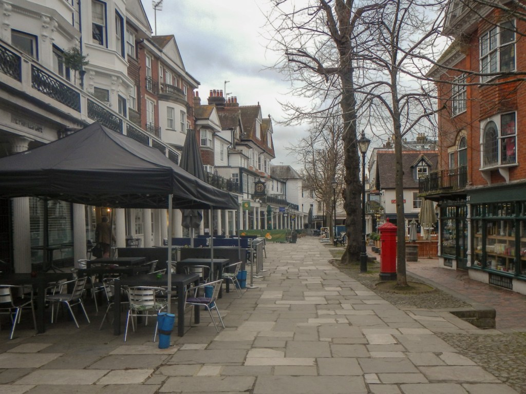
Day 2 started with a different but equally filling choice from the breakfast menu – a lumberjack stack which consisted of streaky bacon, potato hash, two fried eggs and a pile of pancakes with maple syrup. I returned to Hawkenbury on foot. As it was the beginning of the day, full daylight and my legs had recovered, I was able to appreciate the traditional elegance of The Pantiles. Of course the shops hadn’t opened yet as it was before 9am.
The paths and pavements were less quiet as I seemed to be following a popular school walking route. Most of the children were dressed as a variety of book characters – it was the Friday closest to World Book Day. The main road in Hawkenbury was as busy as on the previous evening but I knew where I was going and the best places to cross the road.
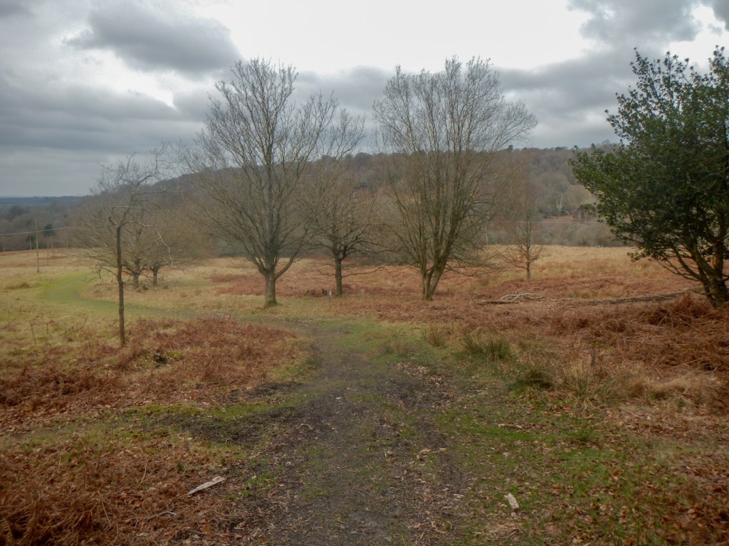
The subsequent scenery was similar to much of the previous day – a mix of woodland and farmland with far reaching rural views.
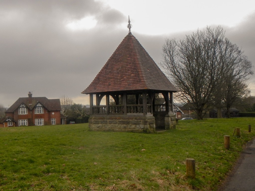
The village of Frant was notable for its large green. There was some drizzle but fortunately the precipitation was short-lived. Frant developed as a settlement in the 16th century when the Wealden iron industry was at its height.
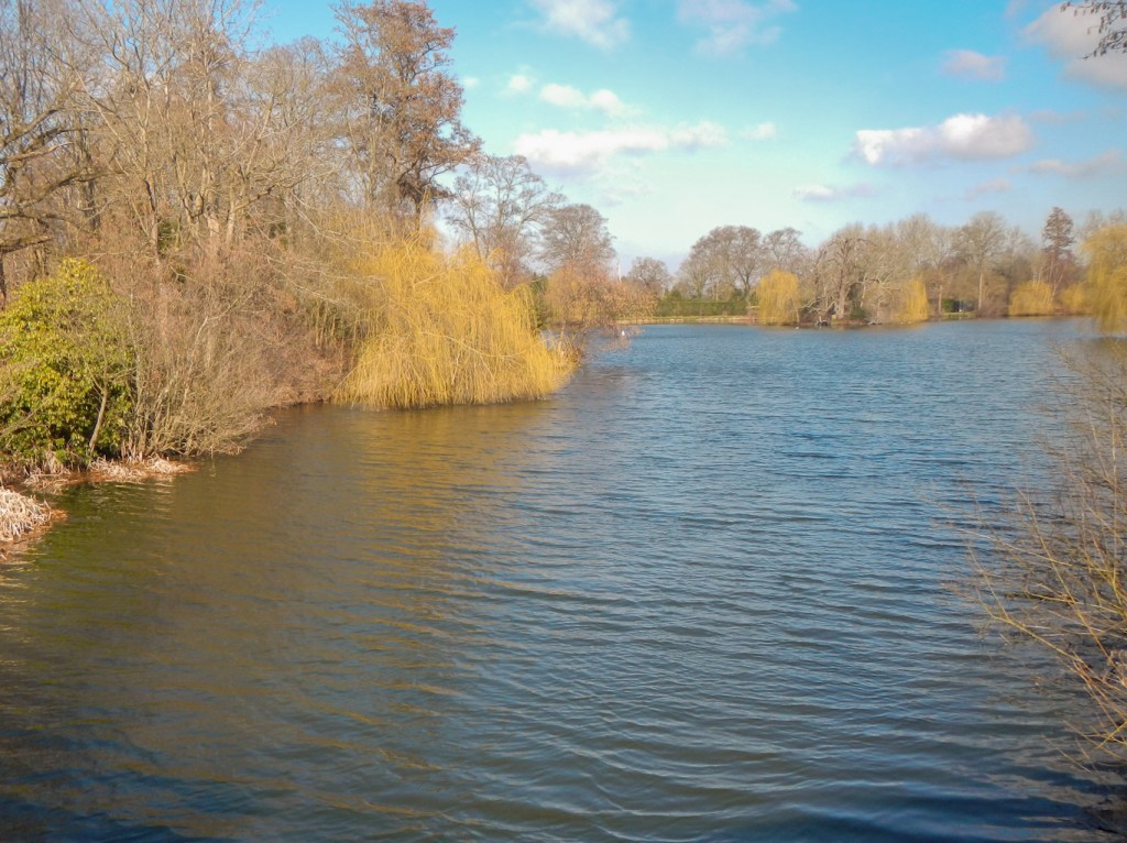
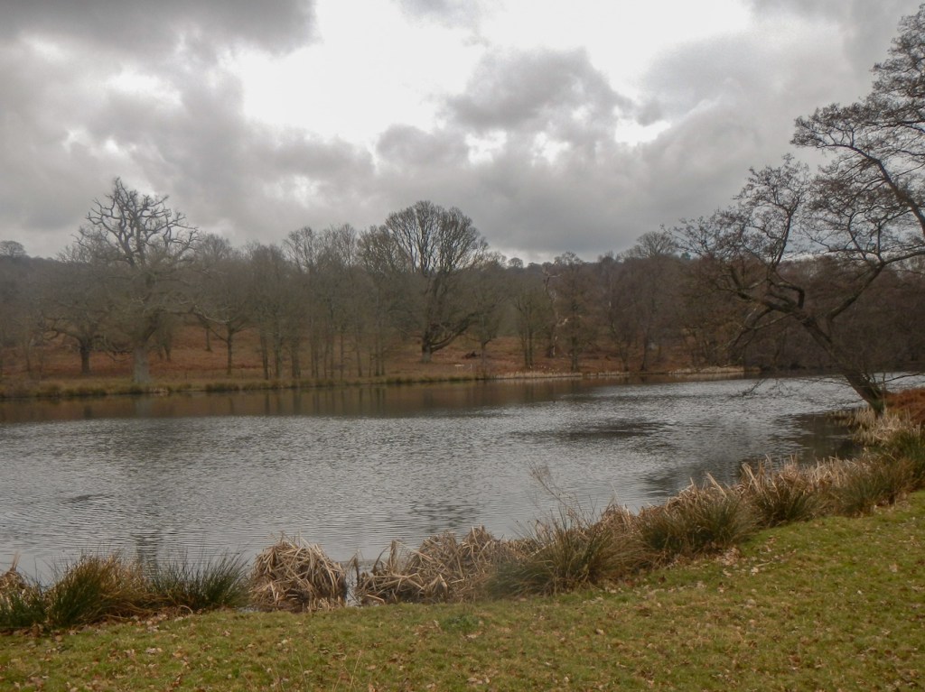
Eridge deer park is huge. It’s said to be the oldest deer park in England but I didn’t see any deer. The water in the lakes powered iron furnaces and forges in the past but nowadays they are landscaped providing an apparent haven for wildlife.
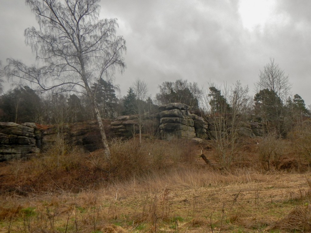
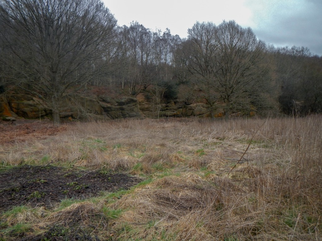
I crossed the main A road at Eridge Green to reach the large sandstone outcrop of Eridge Rocks.
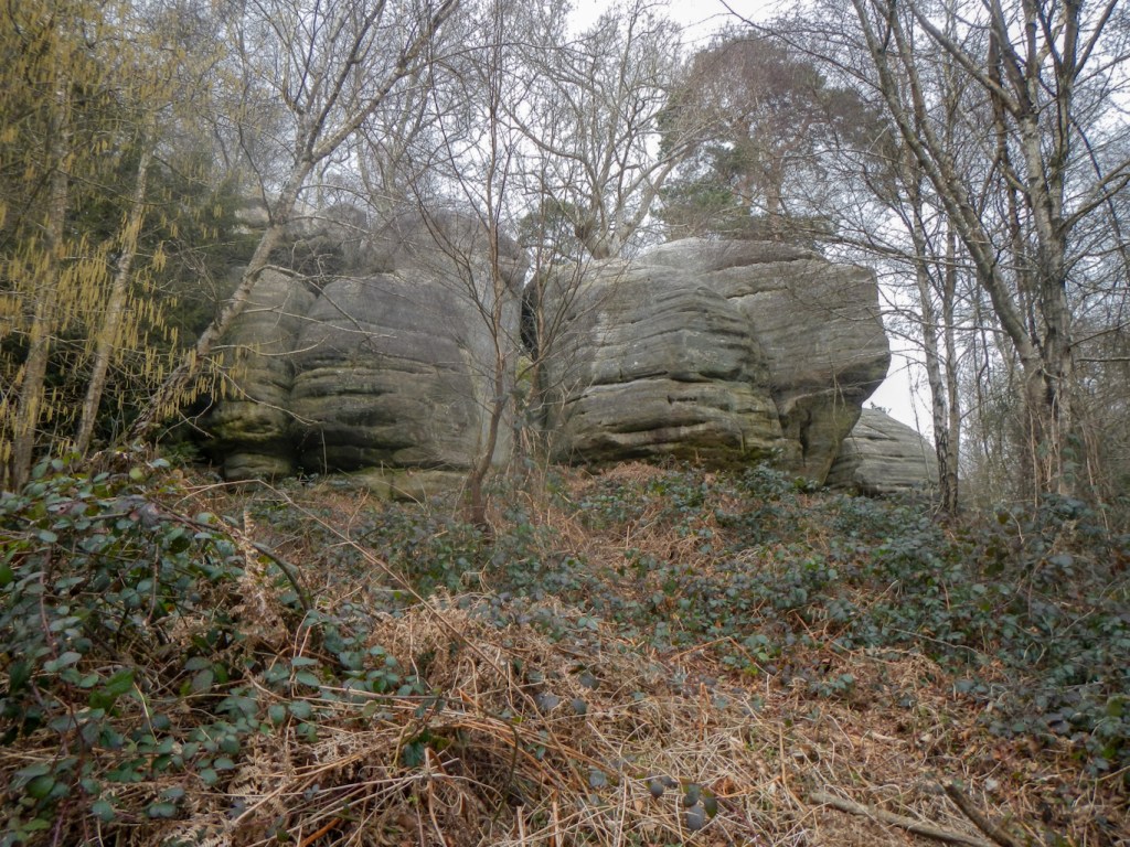
Harrison’s Rocks were even more impressive – a very long line of huge sandstone rocks which is one of the best climbing sites in south-east England.
My husband was waiting in the car park near Harrison’s Rocks, but I walked on and completed the circle to reach the moated manor Groombridge Place, where I had joined the circuit the previous day. Of course he made me walk back to the car despite there being a car park in the village.
Walking through this extremely rural landscape, at times it is hard to believe that it is only thirty miles or so south of London. It wasn’t busy or crowded on a weekday in March, although, in the main, the footpaths appeared to be well trodden.
