16-17 January 2023
This expedition followed after my walk between the Royal Forests of Essex. From my overnight accommodation, the nearest railway station was Stansted. This was within walking distance and I even found an off road footpath for some of the way. All was fine until I arrived at the airport which, of course, is organised for passengers travelling by motorised transport. The railway station turned out to be near arrivals and departures (unsurprisingly) so I had to walk along a road with CCTV, automatic number plate recognition, various huge car parks and no public right of way. Fortunately I survived without being accosted by any airport officials and was able to board the Birmingham train, changing at Ely for Bury St Edmunds.
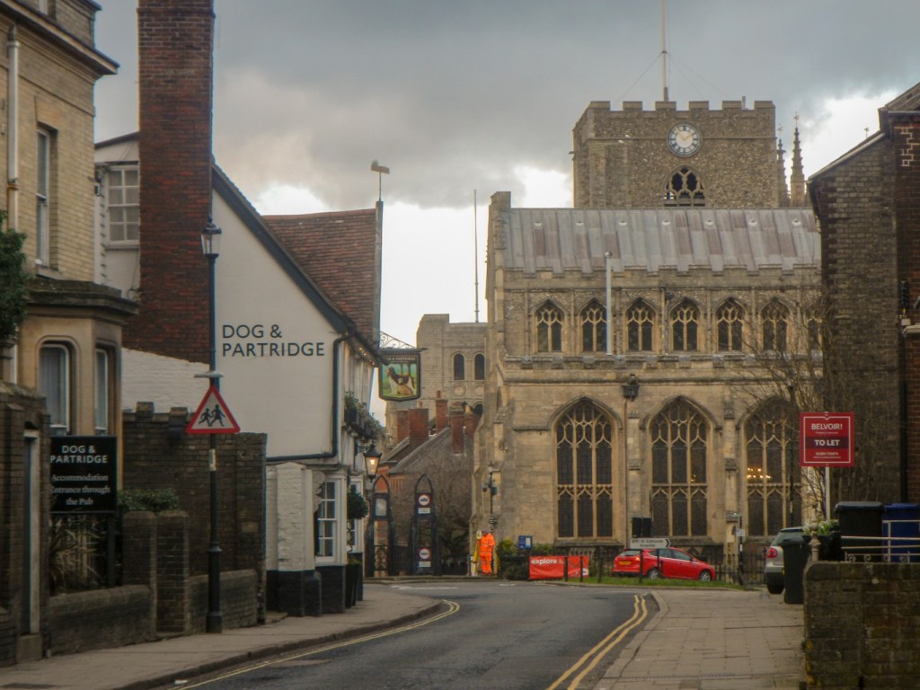
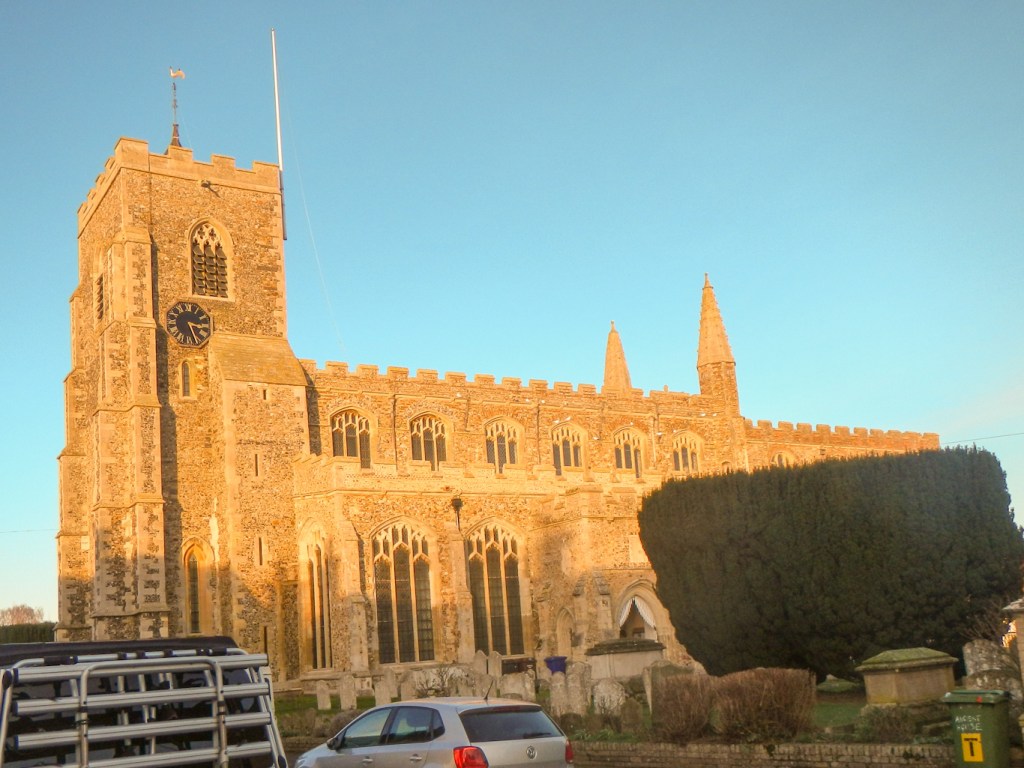
I had a day to spend exploring Bury, prior to my walk to Clare the next day. Bury itself turns out to be a gem worth visiting. Having reached the centre from the railway station, I began by walking up the medieval Abbeygate Street, reaching the nineteenth century Corn Exchange. The town was built on a grid pattern by Abbot Baldwin in 1080 and this has been retained today in the old streets around the centre. I returned to the area near the Abbey Gardens and visited the Tourist Information Centre adjacent to the Cathedral shop, where the staff were incredibly helpful.
https://www.visit-burystedmunds.co.uk/bury-st-edmunds-and-beyond/visitor-services The staff there reassured me that the Bury to Clare trail definitely still exists as a waymarked route – unfortunately their last leaflet about it had been taken. However they suggested a visit to the Cathedral, the Abbey Grounds and St Mary’s Church and then possibly the Museum at the 12th century Moyse’s Hall.
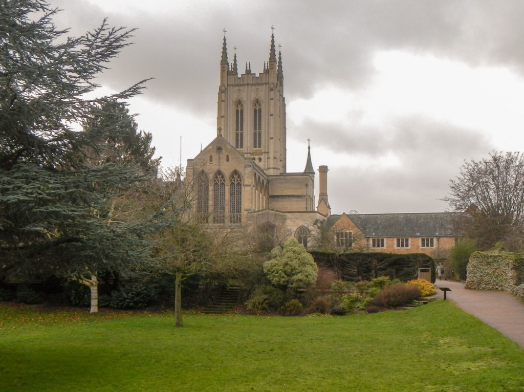
The Cathedral building origins date back to the 11th century; it was rebuilt in the 12th and 16th centuries as a parish church and became a cathedral in 1914. I was surprised to learn that the Gothic revival style tower was built so recently – between 2000 and 2005. It looked much older! The impressive vaulted ceiling in the tower inspired by John Wastell’s ceiling in King’s College Chapel, Cambridge was added in 2010. The gold ‘trees’ on the ceiling are one of the characteristic signatures which Wastell used on many of his works. This modern addition is in keeping with the fact that the nave was built by Wastell in 1503. The peaceful cloister leading to the Treasury and the Pilgrims’ Kitchen Restaurant (definitely recommended for a lunch stop) wasn’t built until 2009.
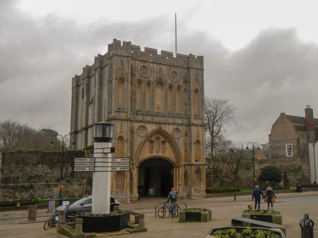
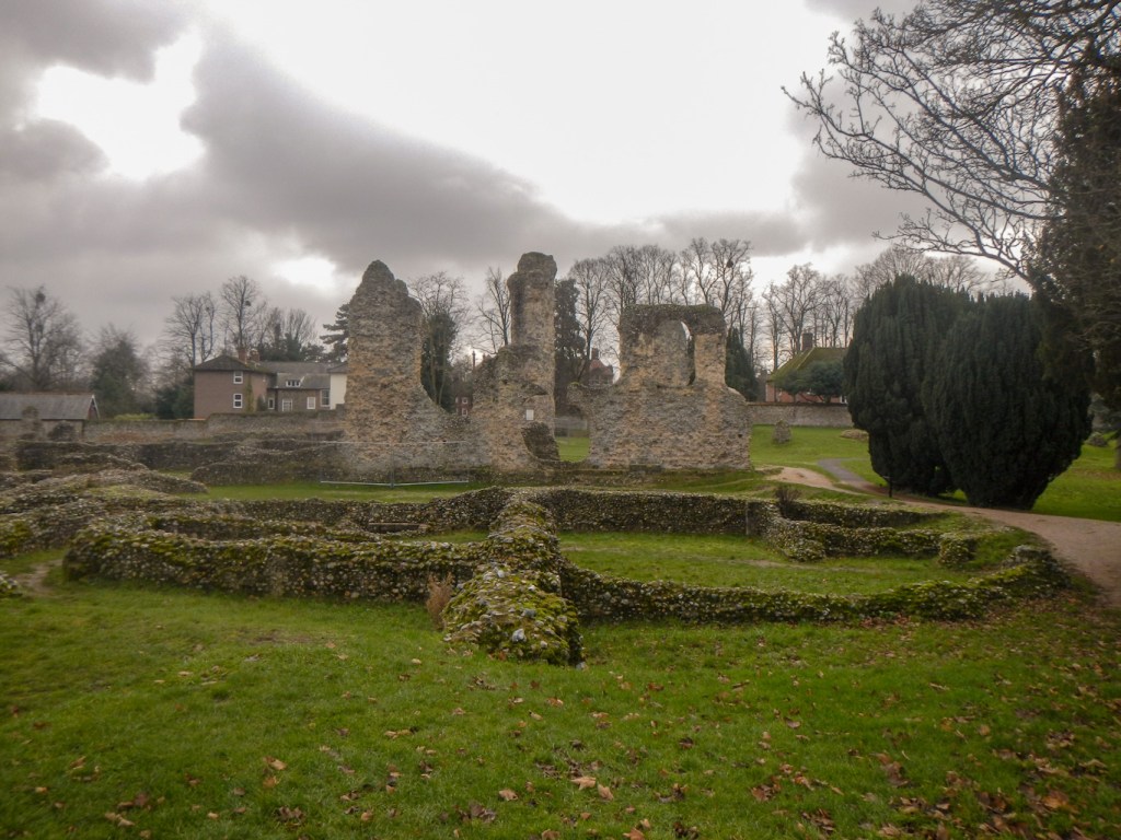
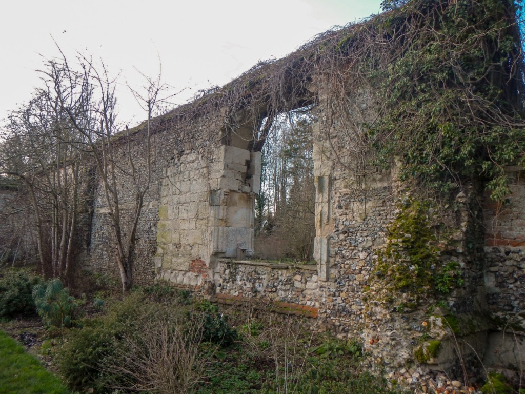
The Abbey Ruins located in the Abbey Gardens are huge. The Abbey was once one of the most powerful and wealthy Benedictine Monasteries in England. Its extensive remains include the complete 14th-century Great Gate and Norman Tower, as well as the impressive ruins and altered west front of the immense church.
At over 150m long, the church was the second longest church in England after Winchester Cathedral, and the fourth longest in Europe. Even though the ruins look enormous, there is an interpretation panel with a scale picture of the church superimposed on one of the ruins – given the large size of the ruins, this emphasises just how imposing the buildings would have been.

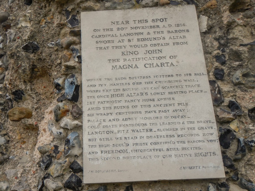
The first step towards signing the Magna Carta was made at Bury Abbey. In 1214 many barons of England, summoned to Bury by the Archbishop of Canterbury, swore an oath to stand against King John. The Magna Carta is of course recognised as a foundation for individual freedoms and democracy to this day.

Just beyond the Norman Tower, originally constructed as a gatehouse to the abbey, is St Mary’s Church. This was originally part of the Benedictine Abbey, but is currently a parish church. The 213 foot long nave is the longest in an English parish church. I was made to feel extremely welcome! There is impressive stained glass – notably the Edmund window above the chancel arch based on the design of a medieval pilgrims badge depicting St Edmund tied to a tree and shot by arrows and also the huge and colourful west window, the largest in an English parish church. Not to be missed, tucked away next to the altar, is the tomb of Mary Tudor, sister of Henry VIII after whom he named his battleship Mary-Rose.
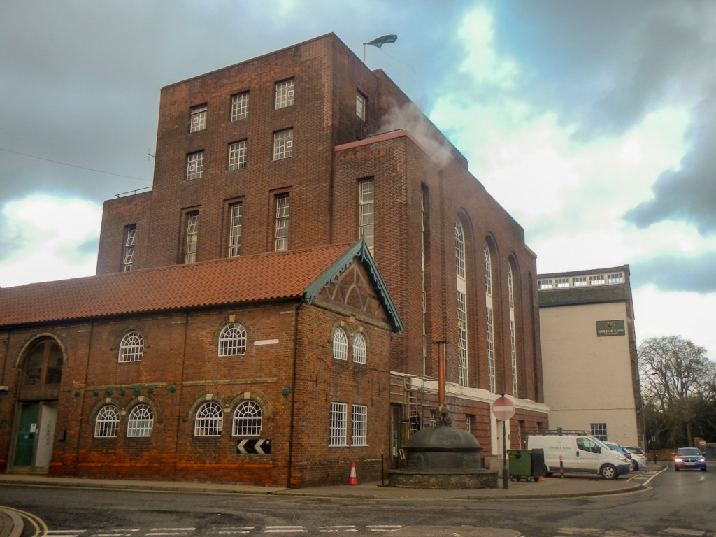
It was too early to arrive at my overnight accommodation, the Dog and Partridge, the seventeenth century inn just up the road from the Greene King brewery itself (normally open for tours but closed to the public this week for building work). I knew that I had a long trek the next day on my planned Bury to Clare trail so decided to walk out to Nowton Park to investigate the start point.
Tomorrow’s planned start was actually about two miles from the town centre. I found it easily next to the visitor centre. Unfortunately they had no leaflets for the walk either but, while I was sipping coffee and eating cake in the café, I discovered some interesting trails round the park itself. I also realised that I didn’t need to return to the park the next day. I could see on the map a “dog leg” route from Nowton Park mainly off road to Bury initially on the first part of the Bury to Clare walk and then using part of the St Edmund Way route back to the Abbey area. Leaving Bury the next day on St Edmund Way to meet the Bury to Clare walk seemed preferable to a road walk from Bury to Nowton Park to start the Bury to Clare walk. Actually I think my modification is an improvement on the “official” walk as it starts at Bury St Edmunds Abbey and finishes at Clare Priory.

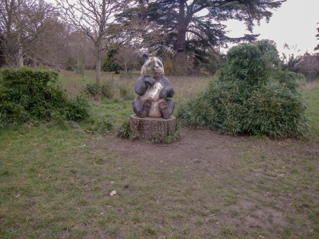
In the meantime, I also walked an interesting circuit of Nowton Park including an imposing lime avenue, an arboretum including trees from all over the World, a carved wooden panda “eating” bamboo shoots and a “Woodhenge”. The route back to Bury via a track, woodland and a path between farm fields, through another wood and common land, through a playing field, past the hospital and along quiet footpaths brought me to a road very close to the Greene King brewery and my overnight stop.
The next morning the weather had changed a lot. It was below freezing when I left the Dog and Partridge after my cooked breakfast. The decision to stay for breakfast meant it was almost 08.00 by the time I set out as unfortunately the breakfast team wasn’t quite ready at the advertised 07.00am start.
The ground was frozen but at least that mitigated the mud. It was important to avoid treading on any puddles as they were frozen solid and slippery. However on balance the freezing conditions made for easier walking than thick, sticky mud.

Soon after passing the point where the St Edmund Way joins the Bury to Clare walk, I passed the only trig point of the walk – 84m above sea level. The sun was in my eyes as I proceeded south, but it did mean that it felt warmer than the true temperature – there was virtually no wind. There followed the longest continuous stretch of road walking on the trail, past flat farmland, large isolated houses and a couple of small hamlets. However this guaranteed a brisk early pace which was positive given the length of the walk and limited daylight hours.
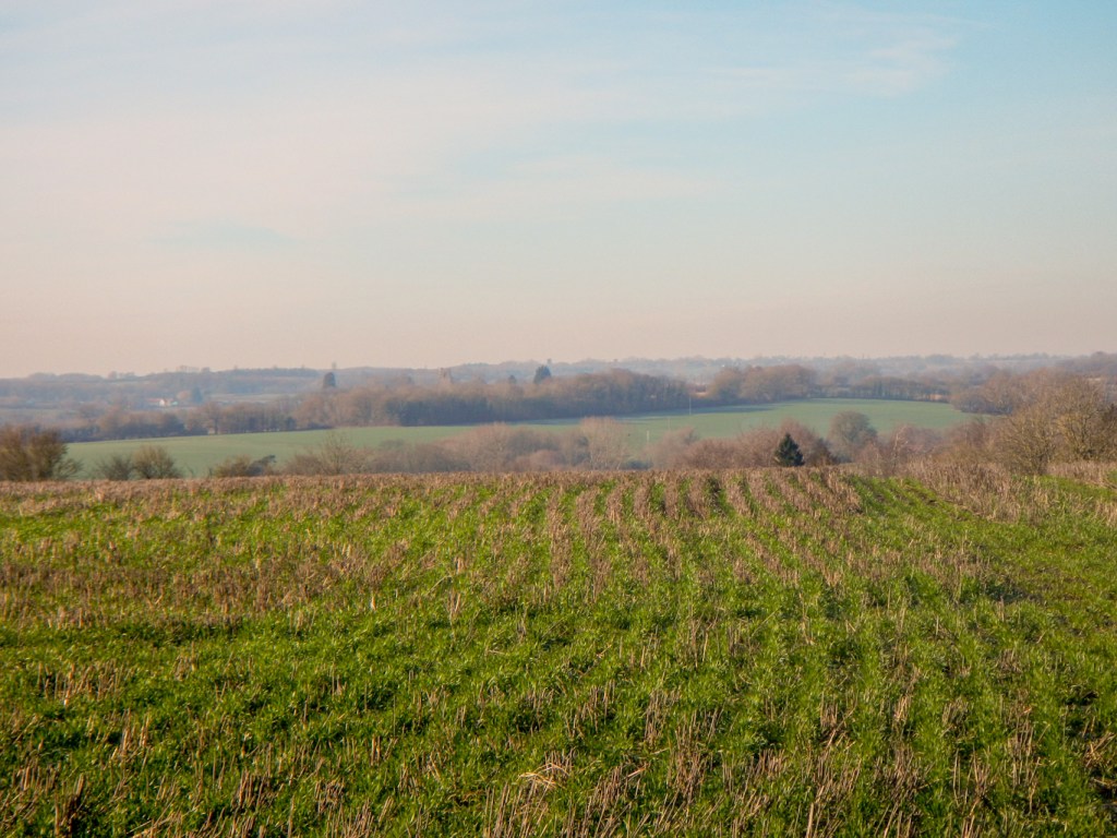
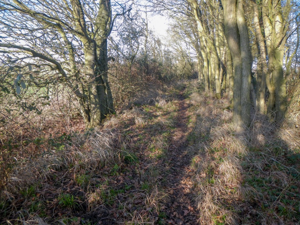
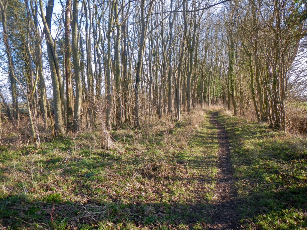
The walk consists mainly of tracks and field edge paths, passing occasional farmhouses. There are a few small wooded areas and some green lanes lined with hedges or trees. Generally there are views far into the distance.
I reached the village of Somerton, a little over half way, just before 11.30am. I was pleased with my good pace – a combination of the stretch of road walking and well-signed paths as well as the fact that the potentially squelchy mud was all frozen. A wooden bench near the church was just too tempting and I ate an early lunch.
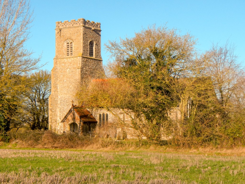
Leaving Somerton, I saw an old water pump. Then I saw another wooden bench near the path, with a lovely view of the church as well as being something of a vantage point (a “high” point 100m above sea level) with views extending to the church towers at Hawkedon and Rede. It was of course far too soon to stop again!
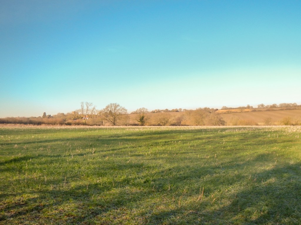
The second half of the walk was similar to the first, although the ground began to thaw and my boots became heavy as they were encrusted with a strongly adherent layer of tenacious chalky boulder clay – good fertile soil for agriculture as suggested by the huge fields growing a variety of crops.
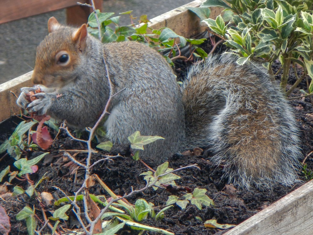
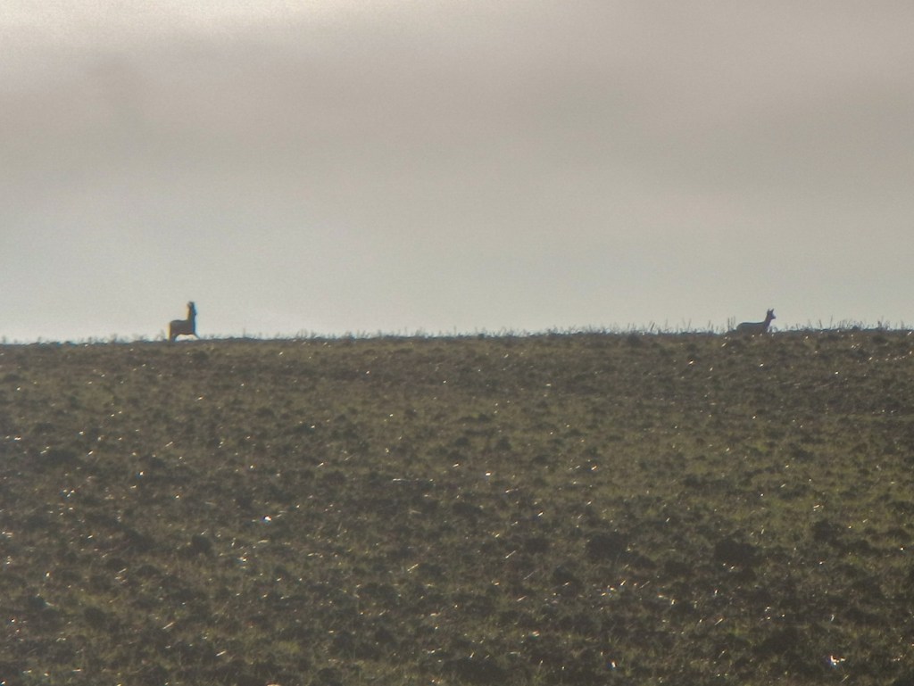
I glimpsed small deer twice – and even captured them on my camera the second time, before they ran off into nearby woodland.
Eventually I made a long gentle descent into the small and historic town of Clare. The final few miles of the walk until reaching Clare, are entirely off road.

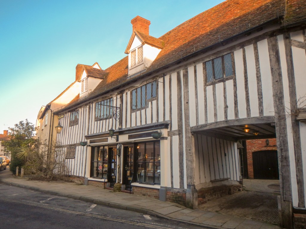
Near the centre, Clare’s historic streets are lined with old houses, many half-timbered. St Peter’s and St Paul’s Church looked huge. It is grade 1 listed and indeed is one of the largest churches in East Anglia. It was almost 3.30pm and I was concerned about the small amount of time left until dark so I didn’t explore the church any further.
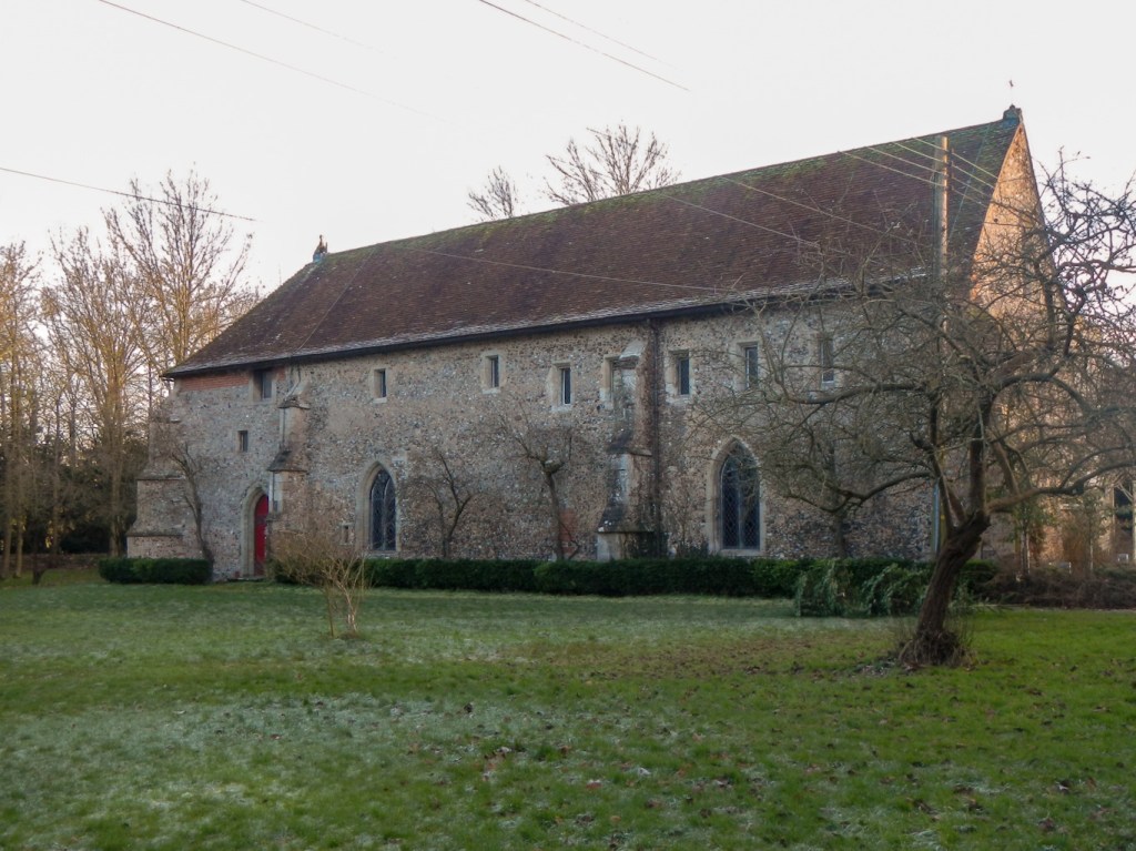
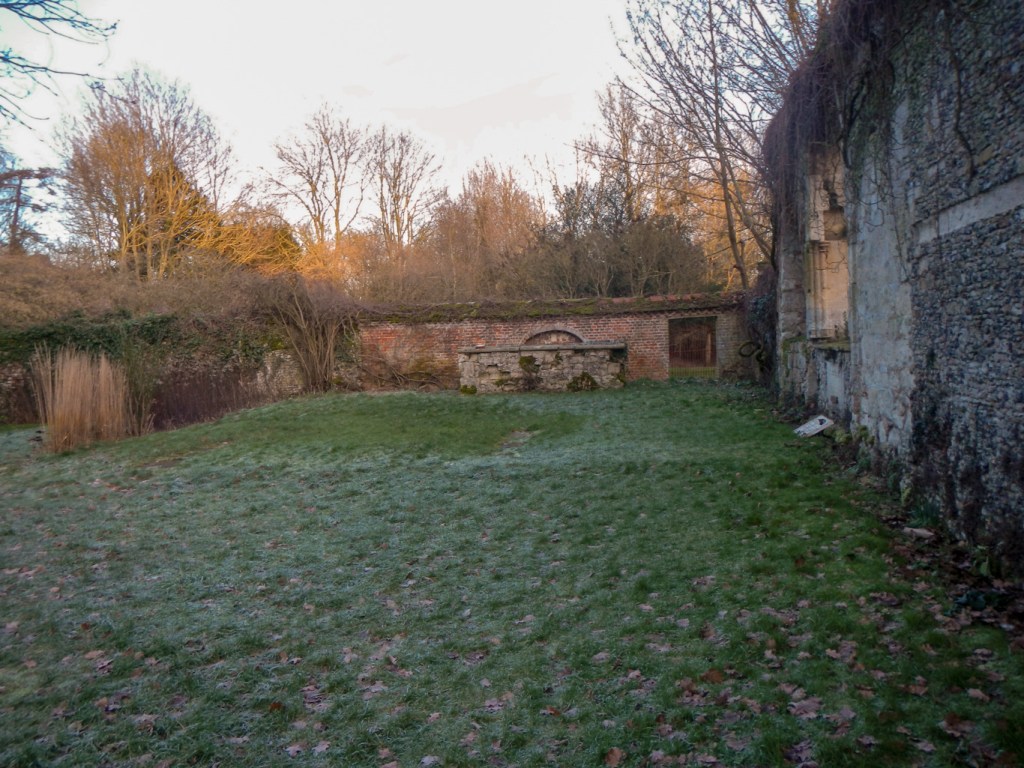
I followed signs to the Country Park and Priory. Clare Priory continues in use as a mixed community of Augustinian friars and lay people. It is one of the oldest religious houses in England, established in 1248 at the invitation of Richard de Clare as the first house of the Augustinian Friars in England. Following its suppression in 1538, the house passed through many hands and uses until the Augustinian Friars purchased the house in 1953. During my short visit I saw the old infirmary, now converted into the church and the ruins of the original church complete with a plaque explaining that ancestors of Richard III were buried there.
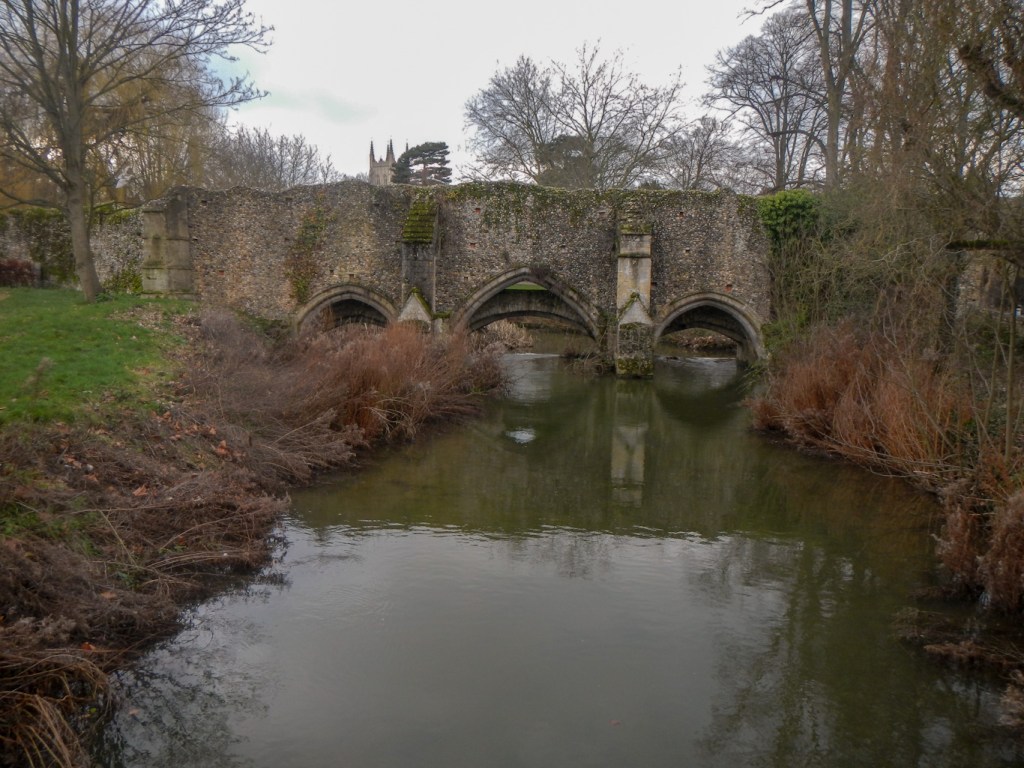
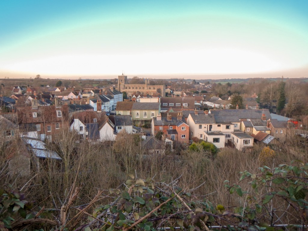
The Country park deserved more time and attention than I had left. I merely climbed the path up to the summit of the 60 foot high Norman motte. This is one of the tallest in the country, with the remains of a flint keep at its summit. From the top there are stunning views over the moat, medieval Clare, the former Clare station railway buildings and the countryside beyond as well as the wall separating the inner and outer bailey.

My booked accommodation was in Cavendish a couple of miles away. At the park, I saw a map showing a marked footpath route avoiding the road. However I was concerned that daylight was already fading. I wasn’t sure of the bus timetable so unfortunately my option was to walk along the busy main road. The verges were wide enough to hop up each time a vehicle approached and there was a pavement part of the way. However the footpath would definitely have been a more pleasant option except difficult in the dark without familiarity with the route.
The Cavendish Five Bells has an amazing central location on the village green. https://www.facebook.com/Fivebellscavendish/ When I arrived there had been a mix-up with my booking but, once the staff realised that I had booked, nothing was too much trouble for them (even drinks “on the house” to compensate me). The owner personally cleaned and prepared a room for me there and then. The pub no longer serves food but I was fortunate as Tuesday night is fish and chip van night, with the van stopping right at the front door. The local people in the bar were all incredibly friendly. Food was provided in my room to make breakfast – I hadn’t expected that so my own porridge sachets stayed in my bag as I didn’t need them. Thank you so much to the owner and staff for turning a potential disaster into an amazing success! This was a fabulous end to my latest adventure and longest trek since my ankle fracture.
