17 November 2022
It had poured with rain overnight leaving so much lying water that it was difficult to believe that I was walking in one of the areas of UK which claims to be the furthest from the sea. I actually hadn’t realised how controversial and disputed this claim was, but I have gone with the point which the Ordnance Survey claim is furthest from the sea at a distance of seventy miles. They are fine map makers and they should know!
It was definitely a day for wearing full waterproofs and gaiters which meant that I kept myself remarkably dry.
I started out from the National Forest car park on the south edge of Coton in the Elms. The National Forest Company is a not-for-profit company established in 1995 with the aim of reforesting a large swathe of Central England. It covers an area of around two hundred square miles. Coton Wood was one of its first projects started in 1995 on the site of what was previously an 82 acre dairy farm. Native broad leaved trees were planted with the help and support of the local community. They have thrived as the soil is very fertile having previously been used as farm land. Ancient hedgerows were left in place and have continued to grow.
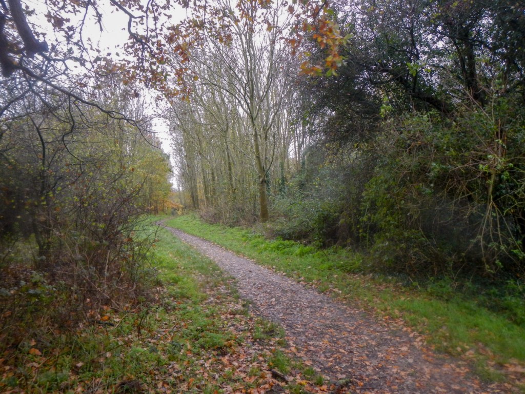
Soon I arrived at a raised path and an avenue of hawthorn trees. This is the “coffin route”. Before the graveyard at Coton was established, the dead were carried to Lullington along this path. Today it seemed very slippery and I was glad of my trekking poles even though I was only carrying my rucksack and not helping to bear a coffin.
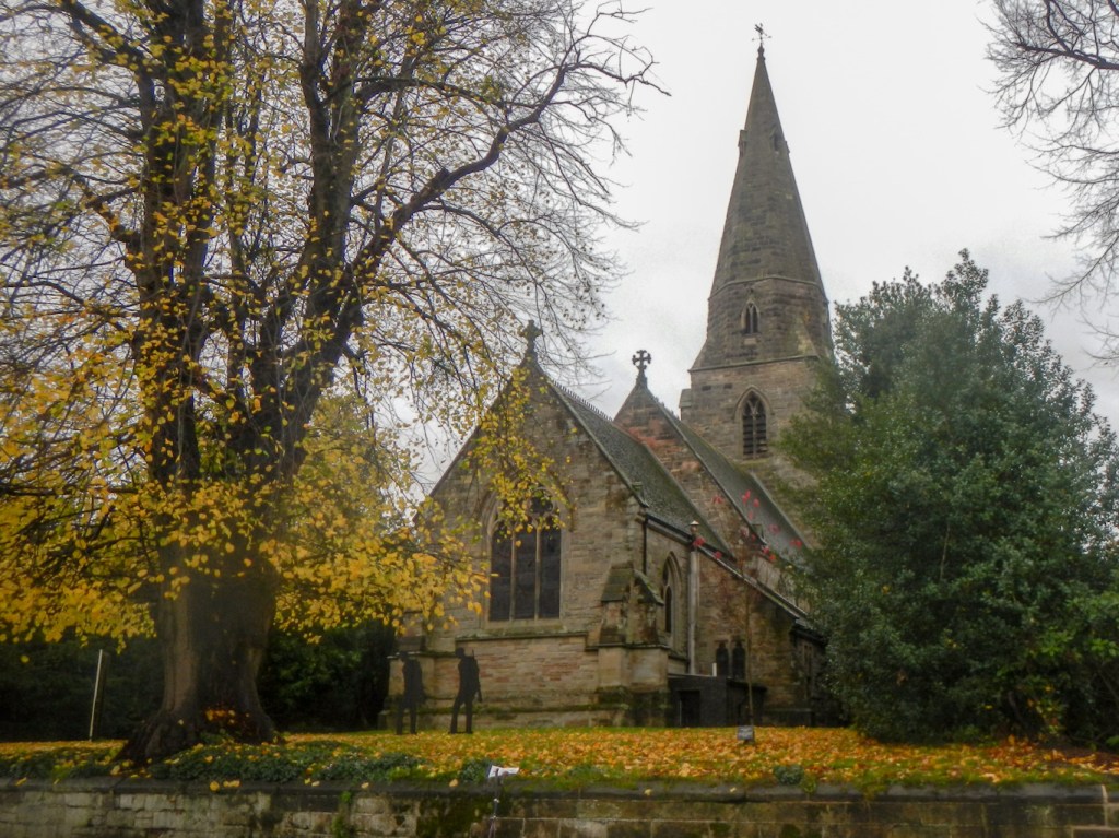
I reached Lullington, the most southerly village in Derbyshire. The church with spire looks impressive but I noted the sign in the churchyard regarding necessary work on this listed building.
The walk which I was following (although not slavishly) is waymarked as “Best Kept Villages walk.

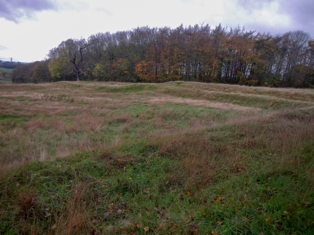
There is a circular deviation waymarked which I followed from Lullington village around Lullington Wood. This was planted in 1998 in the grounds surrounding the village cricket pitch. The former Lord of the Manor, Charles Colville had planned to build a hall in the area in 1850 but got no further than building the foundations before he changed his mind and decided to alter a building in the village to create a grand hall. Hence the earthworks I saw as I walked were nineteenth century rather than prehistoric. In retrospect this was just as well given that there is also a WW2 bomb crater on the site. From this site, four counties and seven church spires can be seen – but not on the rainy day that I was there!
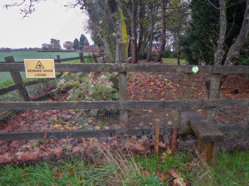
I walked on to skirt the larger village of Netherseal deviating from the waymarked right of way at a point where there was a warning about loose dogs next to the footpath sign. Once I reached the village, someone walking towards me commented on the inclement weather – however as I told him there were some times when it wasn’t raining!
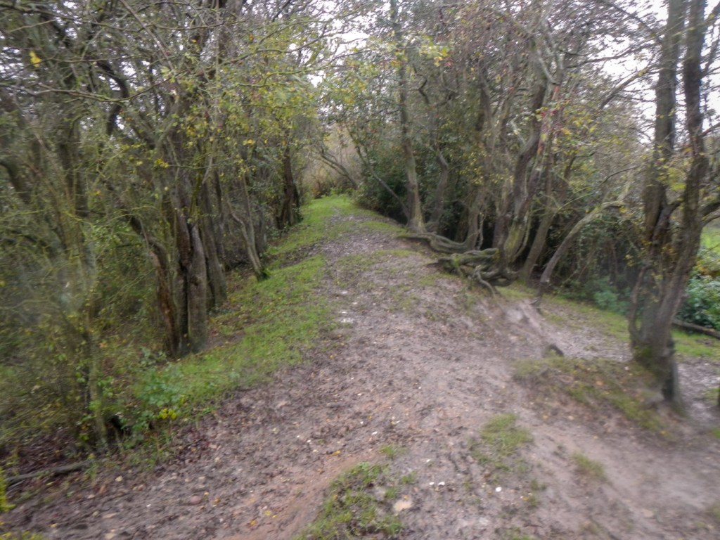
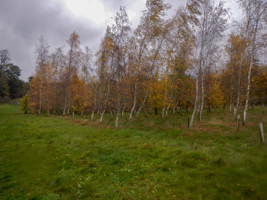
The recently planted Top Tree Wood and Long Close Wood both had signs welcoming walkers. There are broad leaved trees and an area of larches. I was pleased to walk in the sanctuary of the woods as there were many cattle near a gateway on the official right of way.
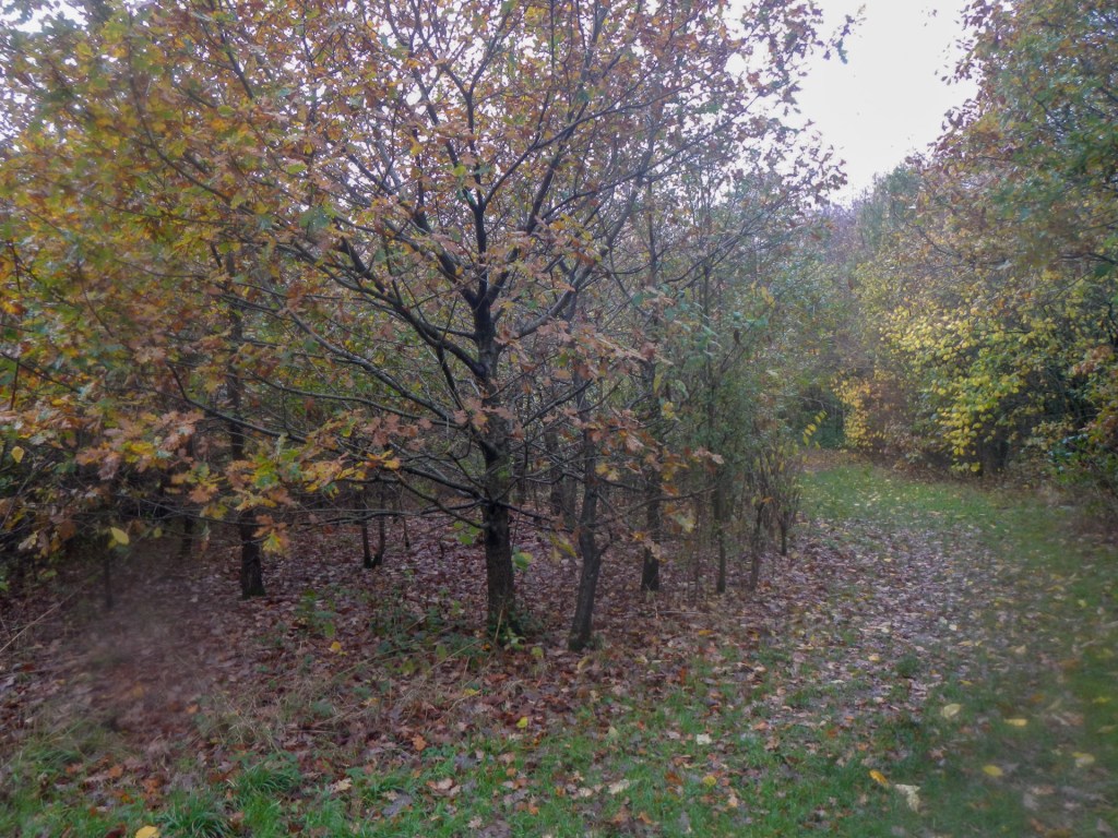
Signs on the border of Grange Wood and Potter’s Wood warned that they are private with no right of way as well as areas where there could be shooting. From the footpath on the border, these appeared to be areas of well-established ancient woodland.
I walked past Penguin Wood (a venture of the National Forest in partnership with Penguin Books), its welcome signs a marked contrast to the signs on Grange and Potter’s woods then walked through the hamlet of Botany Bay.
I was keen to deviate from the “Best Kept Villages” route in order to visit the point furthest from the sea. I saw a public footpath passing through the newly planted Crossroads Wood so I followed this and then entered a field south east of Church Flatts Farm. According to the grid reference advised by the Ordnance Survey, I was at the point in UK furthest from the sea.

I returned to Botany Bay, following the quiet road then looked in vain for a sign to enter Beehive Wood. Having not seen it, I thought that I would walk further up the road and enter the wood near a car park – unfortunately signs here welcomed anglers but specifically disallowed walkers. However eventually I did find a footpath past a campsite and then through fields, returning to Coton in the Elms.
I only went through an edge of the village but still passed an impressive and well-kept war memorial near some modern houses, resplendent with poppies and wreaths following recent Remembrance Sunday commemorations.

I returned to my car just in time to speak to a dog walker setting out on her walk who commented on the rainy weather. The truth was I still felt warm, dry and comfortable under all my waterproofs despite the fact that it rained nearly all day – just stressing the point that often the issue is that of having suitable clothing rather than unsuitable weather.
