15 November 2022
The rain poured and it was a slow and miserable drive up the M5 and M6. However as soon as I reached the M54 I saw some blue sky. Until then I had even wondered as I drove whether it was worth attempting the walk. However at 1pm, as I changed into my walking boots, the weather was warm and remarkably dry.
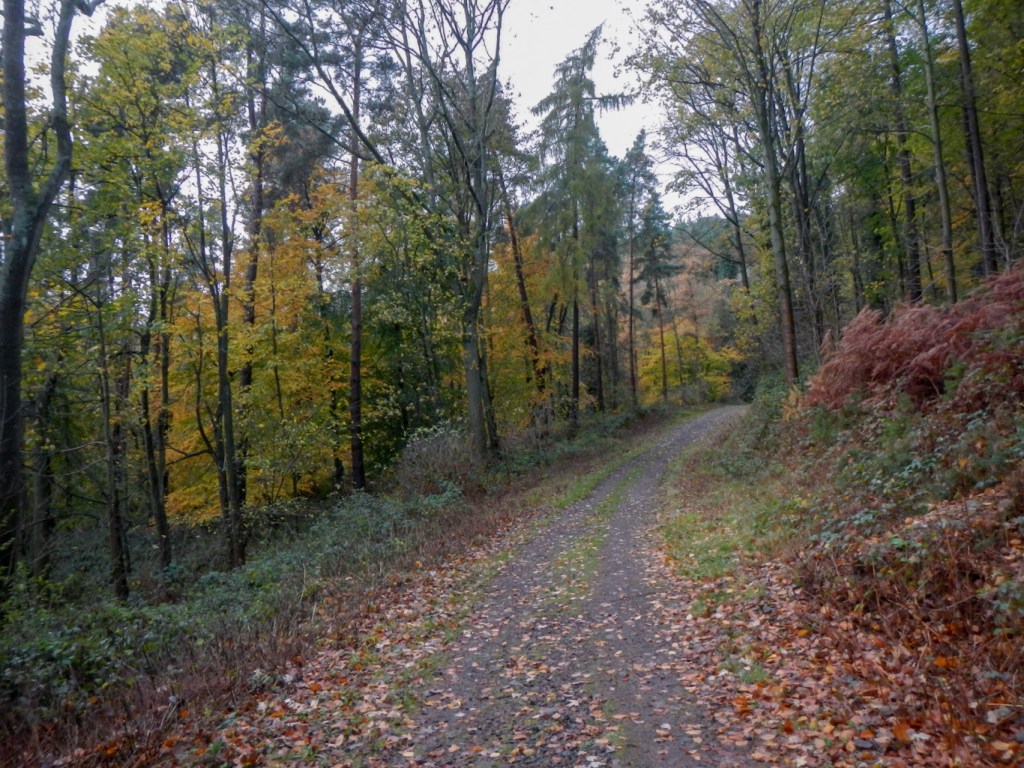
Within a few yards I was off the road and climbing on a stony footpath through mixed woodland. I saw several birds and thought I heard the screech of a jay. Squirrels scampered across the path ahead of me to jump on to tree trunks and perform aerial acrobatics from branch to branch. The path was covered with wet leaves. To my left there were breaks between the trees and there were cows grazing in the fields. I passed a few other walkers and a mountain biker who had stopped for a rest.

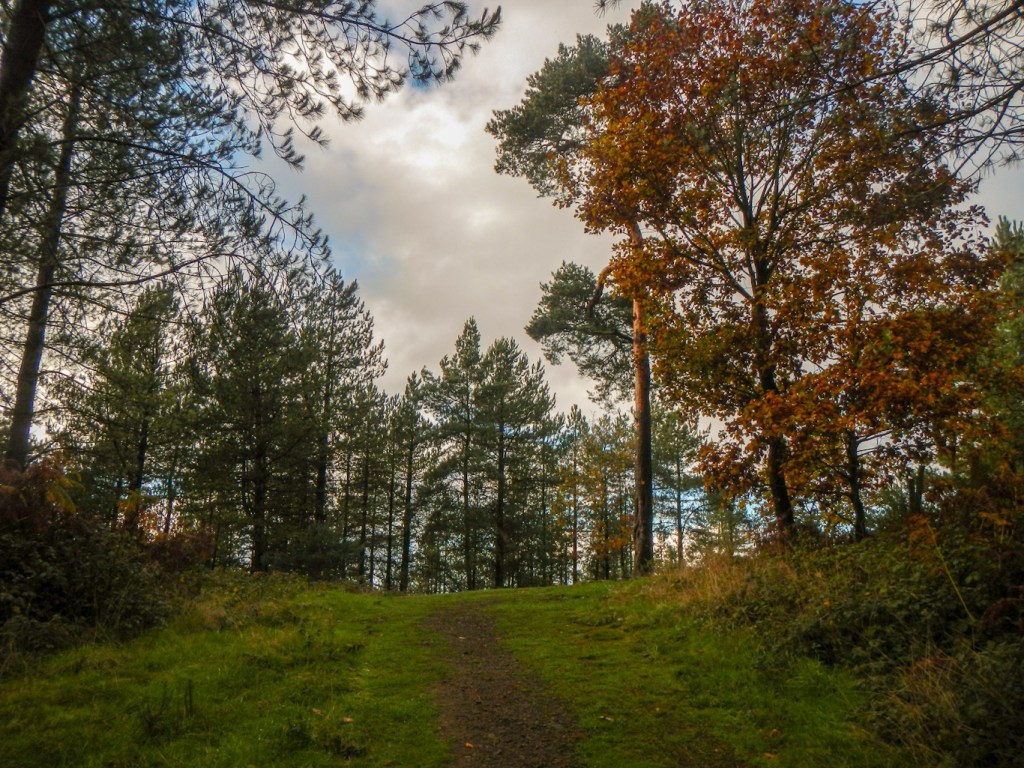
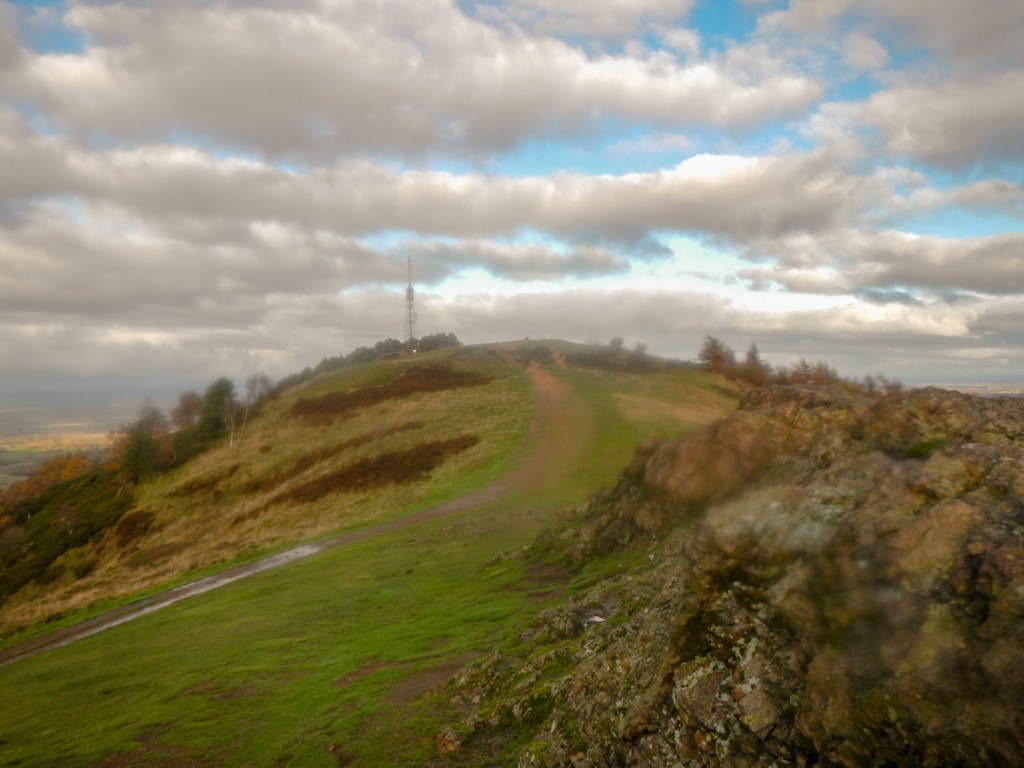
I skirted the lower slopes of the hill to the east of the main outcrop, ignoring the branching paths until I was south of Little Hill. The climb began in earnest and I was soon at this subsidiary summit where there is a clear grass area and a prominent pine tree. There is a minor descent to a saddle before an even steeper and longer climb on to the ridge of The Wrekin itself. Another walker overtook me but wasn’t carrying a rucksack. At this stage I was also following part of the Shropshire Way.
Once I left the wooded slopes, the views were magnificent and clear so I kept stopping to admire the scenery as, at least initially, the best views were behind me. There are a few rock formations including a cleft called the Needle’s Eye. The rock of the hill is of volcanic origin although not actually an old volcano.
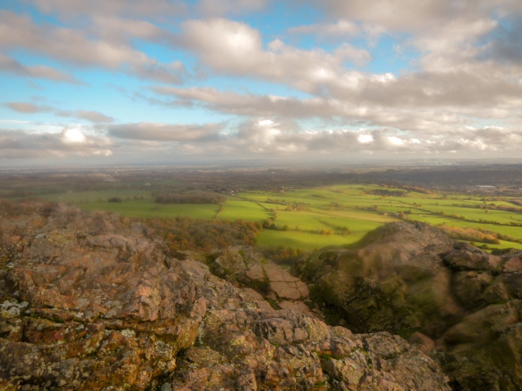
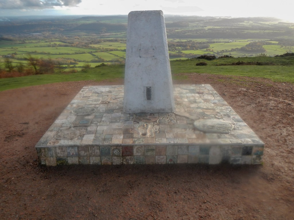
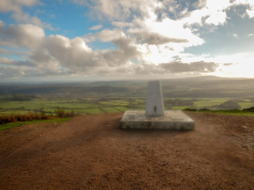
I walked on to reach the high point where there is a toposcope commemorating the Silver Jubilee of Queen Elizabeth II. It’s 1335 feet above sea level. The views were excellent and the panorama spanned the entire 360 degrees. One of the forty-one points on the toposcope isn’t visible – Snowdon is hidden by the mass of the Berwyn Mountains. Apparently seventeen counties are visible on a clear day such as this.
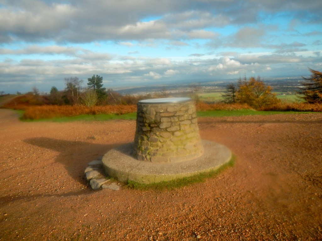
The trig point has plaques on it and a decorated surround and is dedicated to the memory of a local ordnance survey surveyor.
I walked on towards the north of the summit plateau passing through Heaven Gate and Hell Gate. Some banks of the Iron Age hill fort are visible.
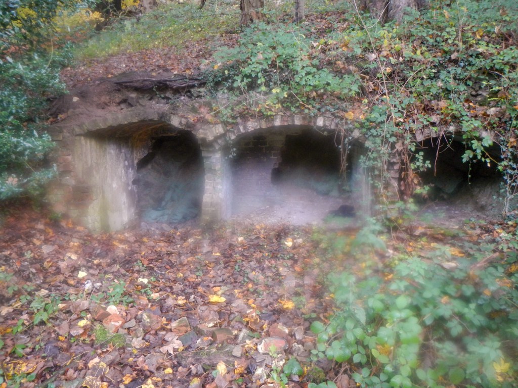
On descending further, instead of heading straight back to my car, I had time to walk in a north westerly direction near what was previously a rifle range. The warning signs are still in place and I discovered some brick remains that I suspect are connected with the range.
I followed a footpath south skirting the western slopes of the Wrekin before turning off to walk over the saddle between the main Wrekin Hill and Little Hill and then back to my car.
In Wolverhampton and the Black Country “You’ve been round the Wrekin” means you’ve taken a long time to run an errand or complete a task – this is mentioned at times of this by my husband’s family. Hence my enthusiasm to check it out and ensure that I circumnavigated the hill as well as ascending it. The whole expedition only took just over three hours and I kept stopping to look at points of interest. It is a large and long hill – but really doesn’t take long to get all around the Wrekin as well as over it!
