15 November 2021
My adventure is really London “off the beaten track”. From the hustle and bustle of Paddington Station near the taxi rank, steps lead up to the Paddington Arm of the Grand Union canal. This remains a relative oasis of calm despite the whole area having had what appears to be a recent makeover: trendy cafes and restaurants both on the land and on narrow boats moored to the canal banks. Heading along the canal bank towards Little Venice there is even a boat moored that has been converted into a radio station and further on a puppet theatre boat.

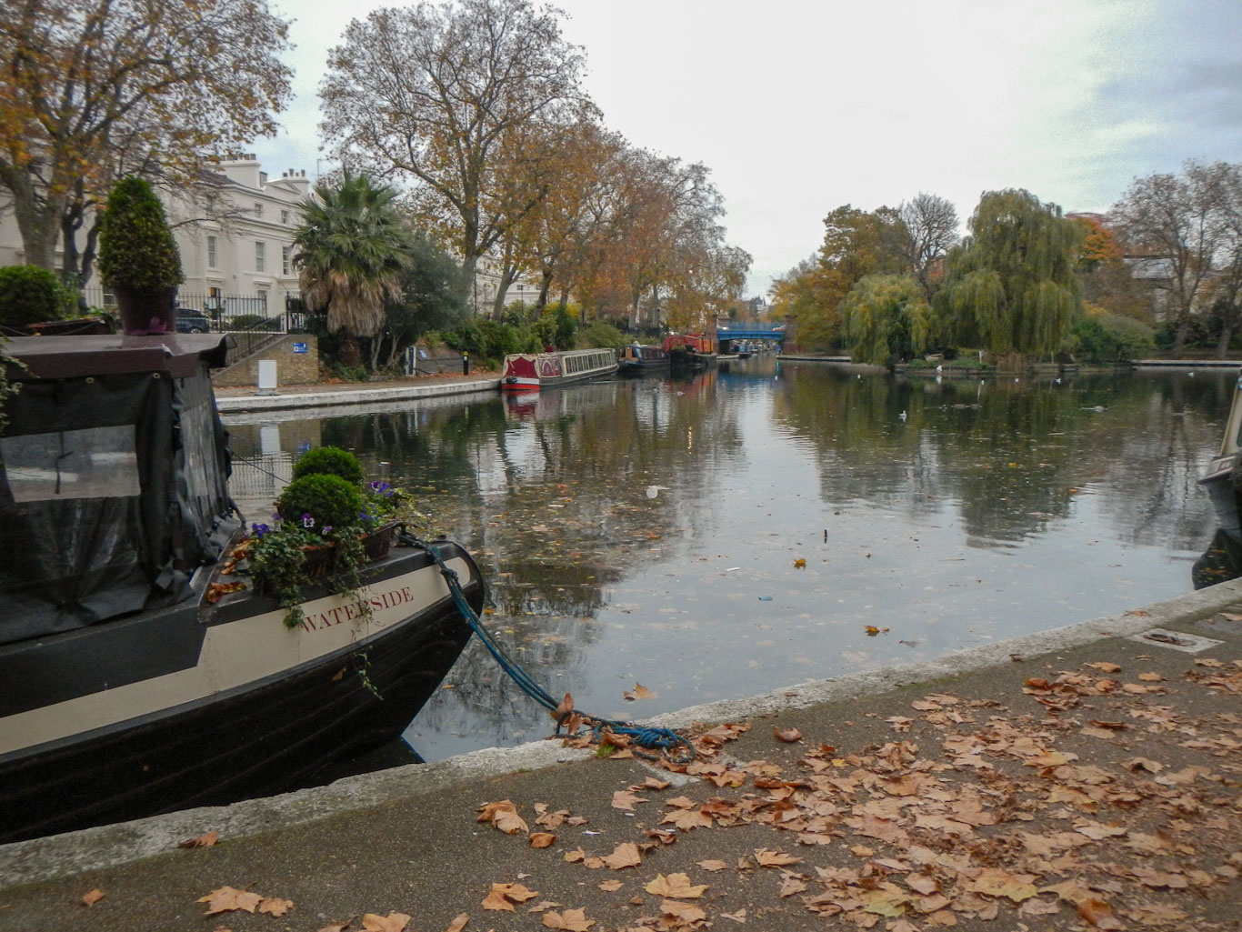
After arriving at the canal basin at Little Venice, reputedly named this by the poet Robert Browning who lived in the area after the death of his wife, I crossed the canal and began my journey along the Regent’s Canal. This waterway was planned by Thomas Homer to provide a commercial link between the Grand Union Canal and the Thames Docks; it was designed by architect John Nash, built by the Regent’s Canal Company and opened in 1820.
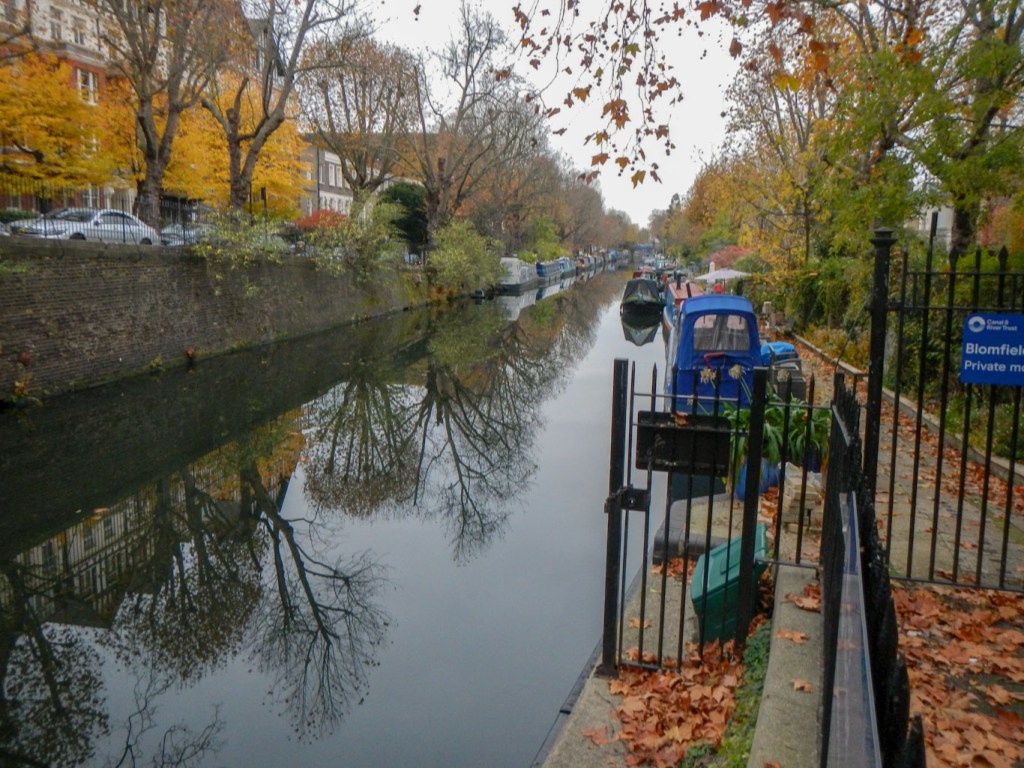
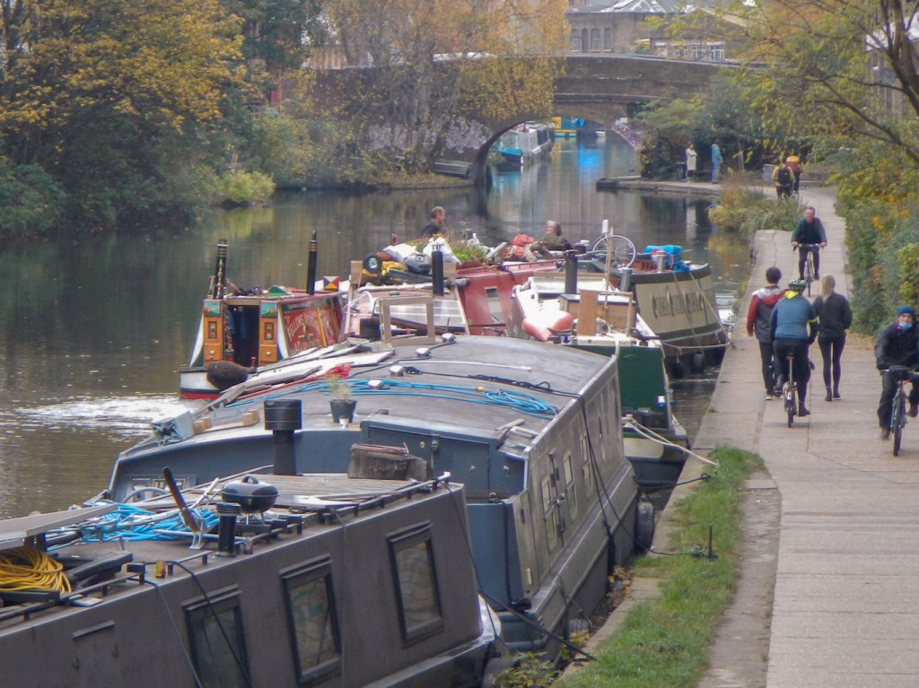
Almost immediately I had to leave the towpath as it is a private area with many narrow boats moored. I peered through the hedge and railings and could see that the boats (people’s homes) were originally registered in many parts of England including the Midlands and the East as well as in the London area. As I was taking photos, a non British female tourist handed me her phone with a request “Please take a photo of me by the river” – unexpected in these days of Covid, but she seemed content with her photo anyway.
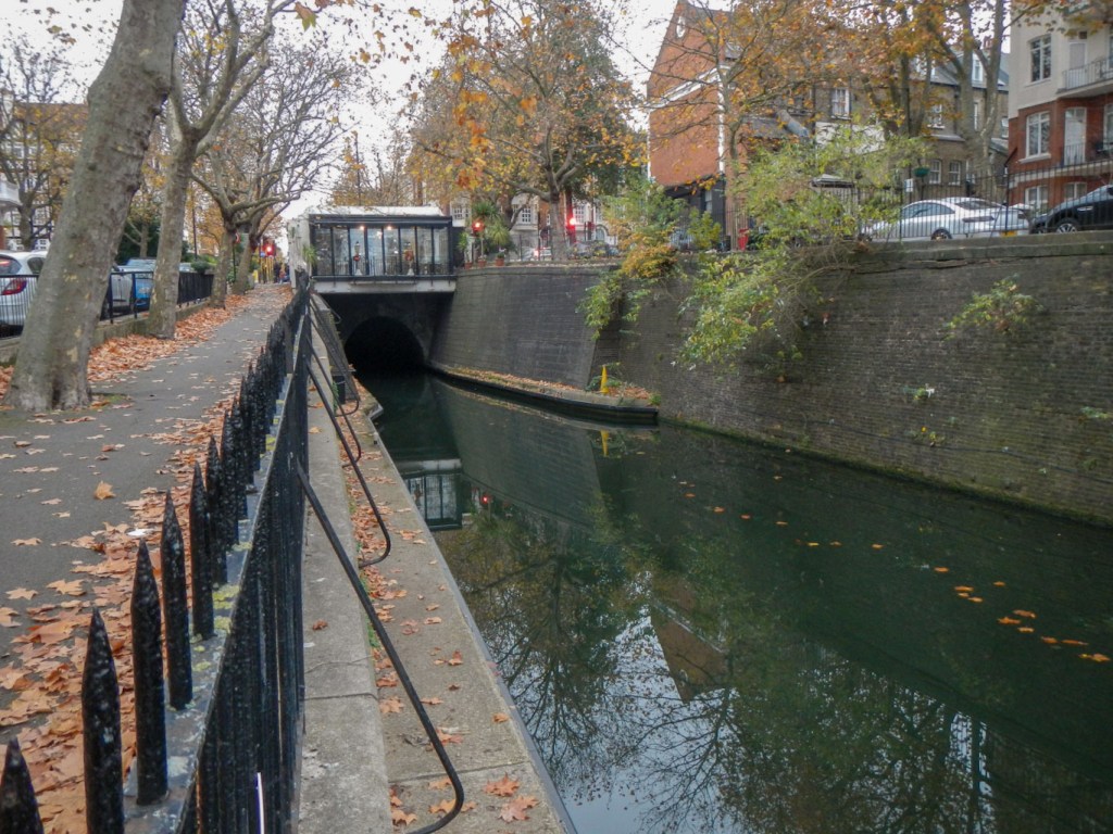
The Maida Hill Tunnel has no towpath so I walked in as straight a line as possible along streets and alleyways to reach the open canal again. The canal is wide at the other end of the tunnel and I walked high above it on the right side looking down on many narrow boats moored to the left bank end on, each appearing to have a small area of “garden”.
It wasn’t long before I crossed over to the left bank and stayed on this side more or less all the way to Limehouse Basin. I did have a long walk via several roads to get from end to end of the 976 yard long Islington Tunnel. This street walk turned out to be a bit longer as there was a police cordon in place where I would have returned to the towpath. I learned later from on-line news that sadly a man had been pulled from the water late the previous evening and died.

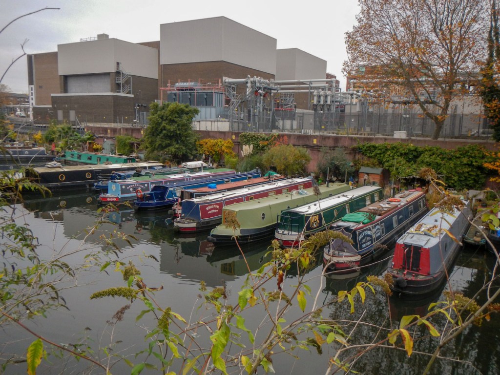
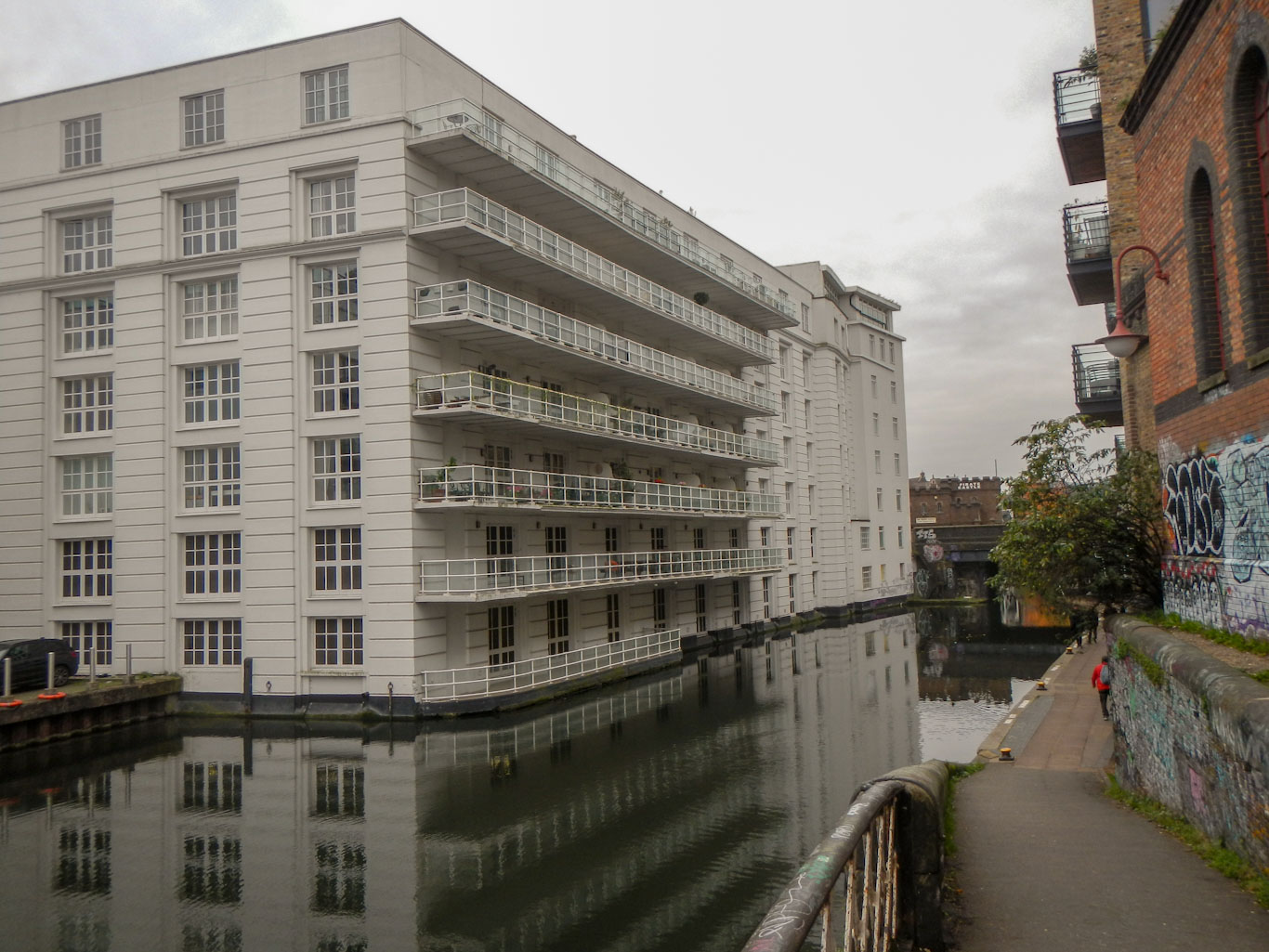
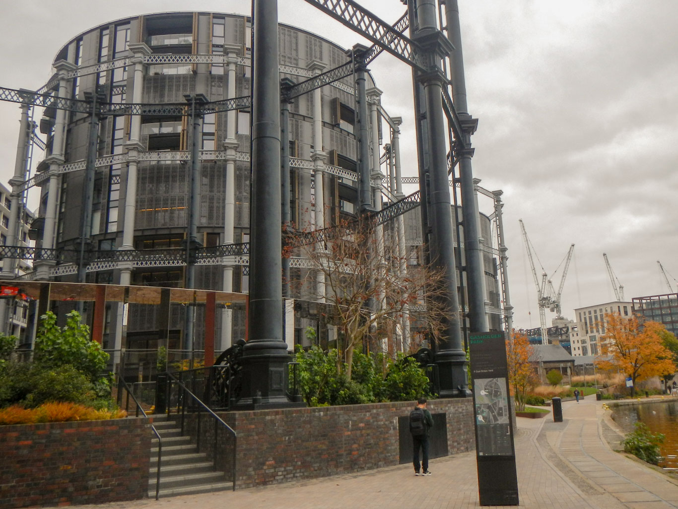
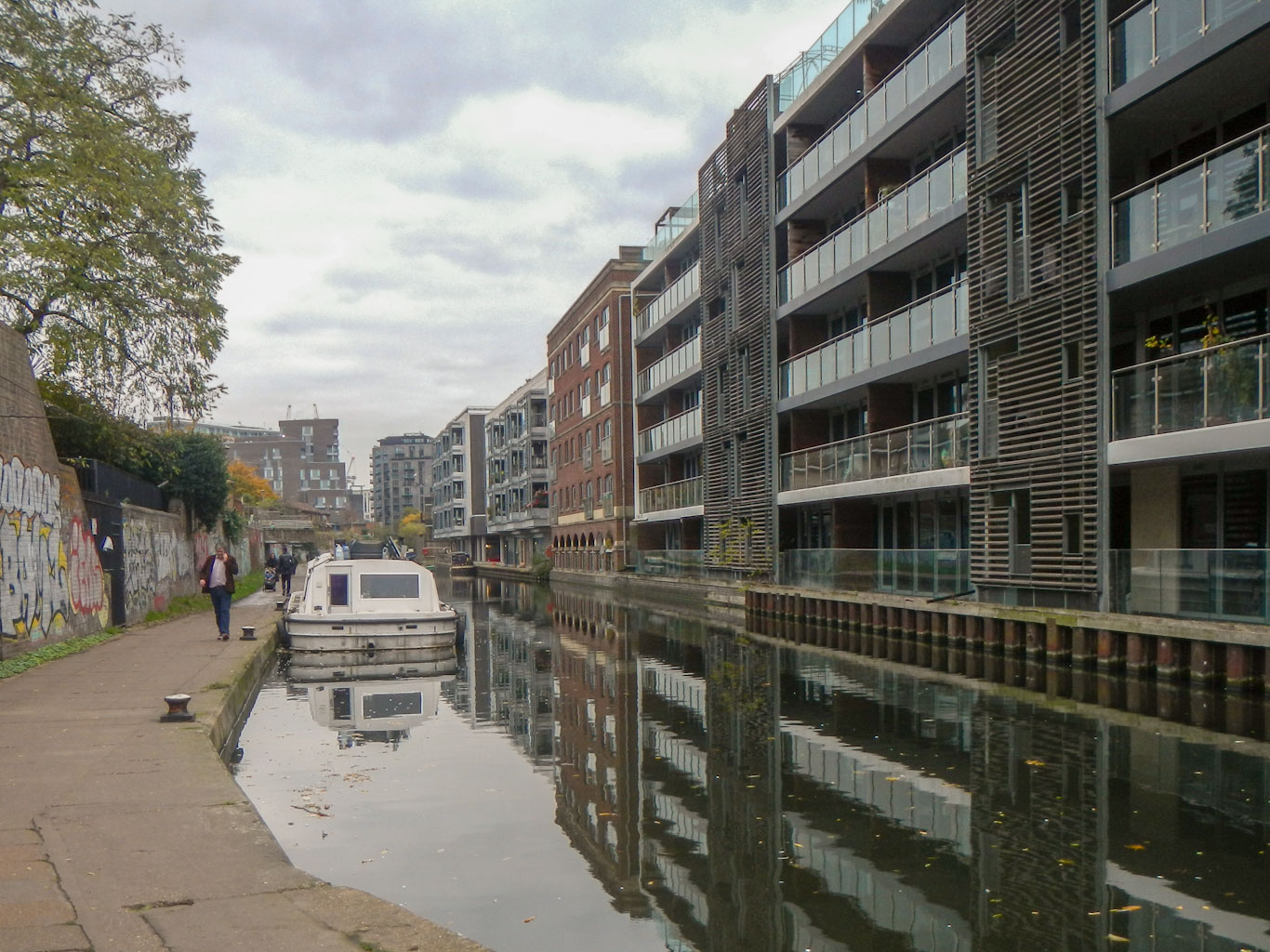
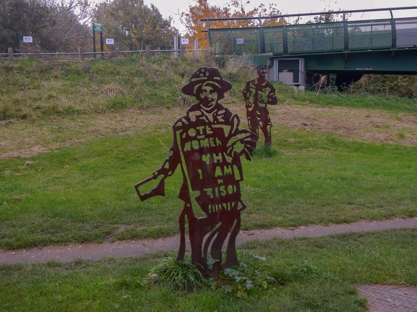
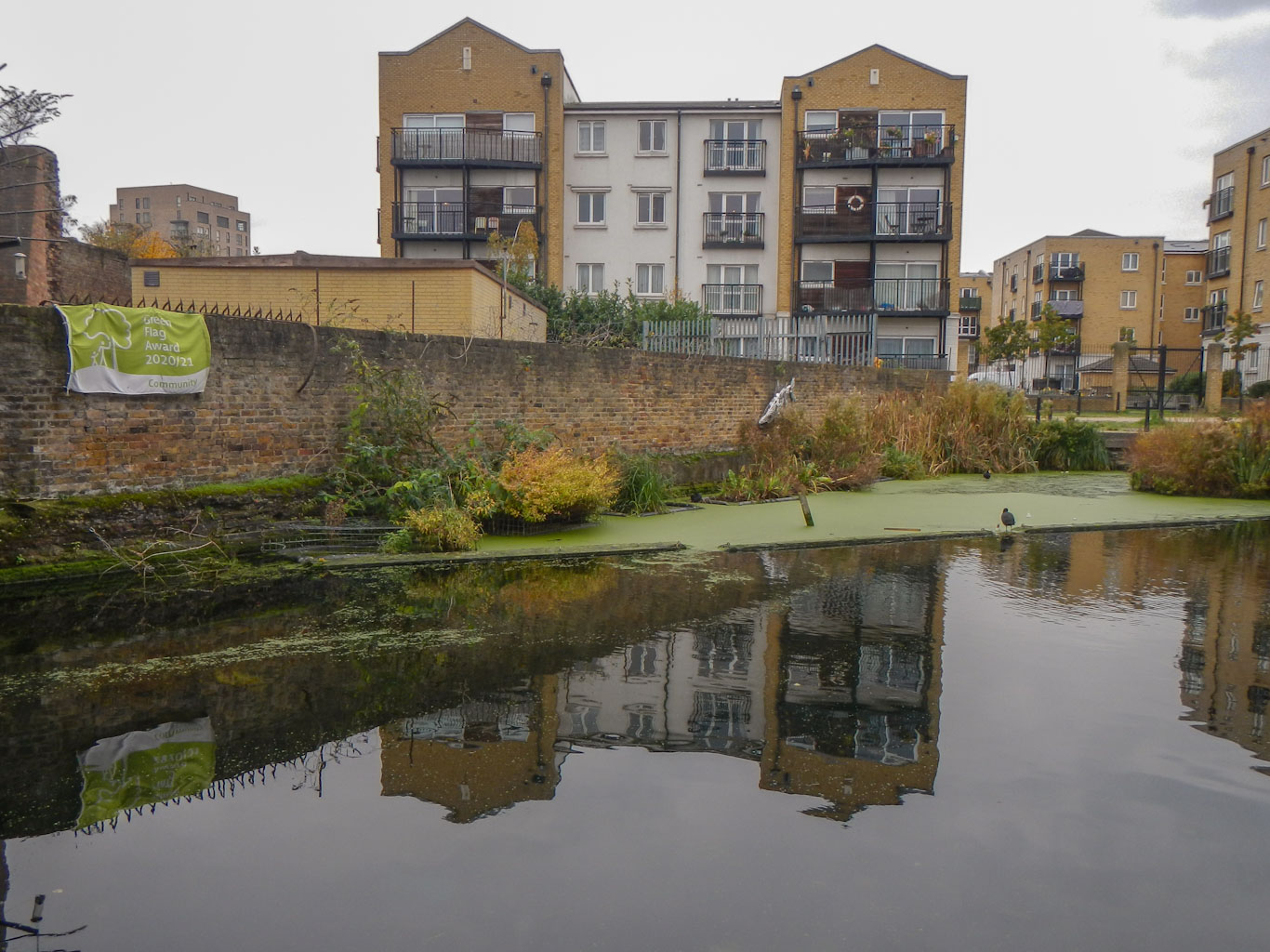
There was a lot to look at as I strolled along. It was amazing to note the large gaps in apparent wealth of people living cheek by jowl. There were rough sleepers taking advantage of the shelter provided by a large bridge over the canal, traditional tower blocks of flats, blocks of trendy looking modern apartments including some built within a frame of a disused gas-holder and others built in converted warehouses, mansions with large looking manicured lawns and gardens as well as many canal boats used as homes.
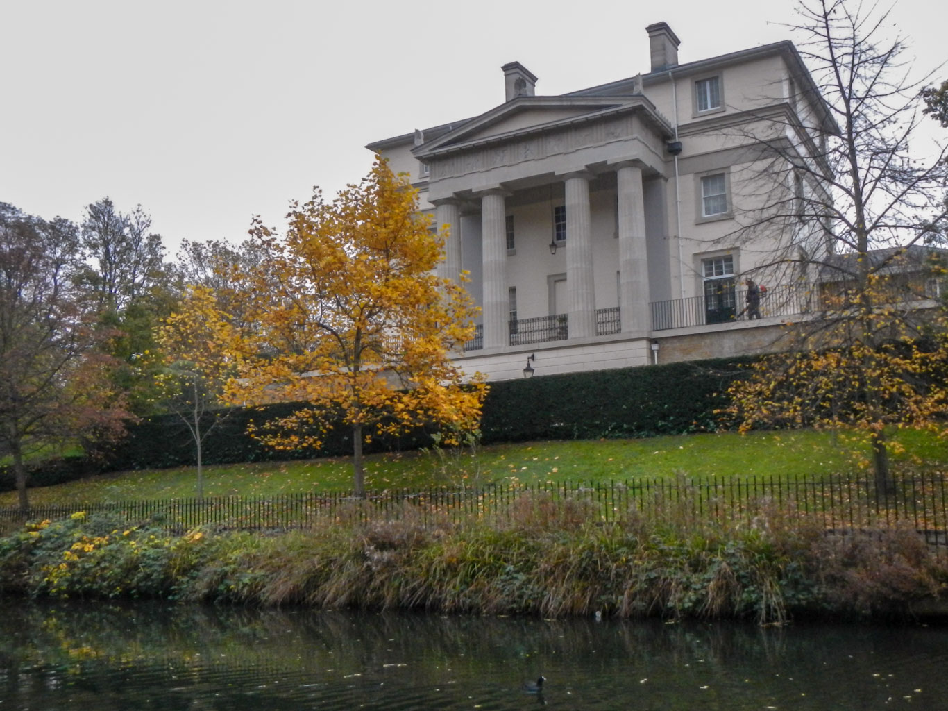
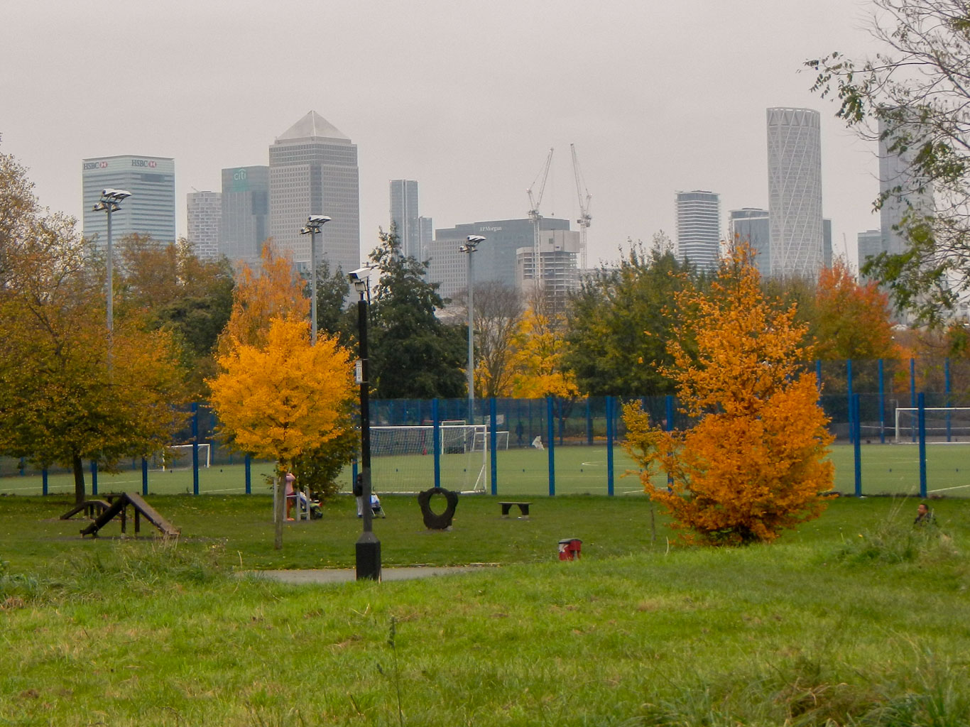
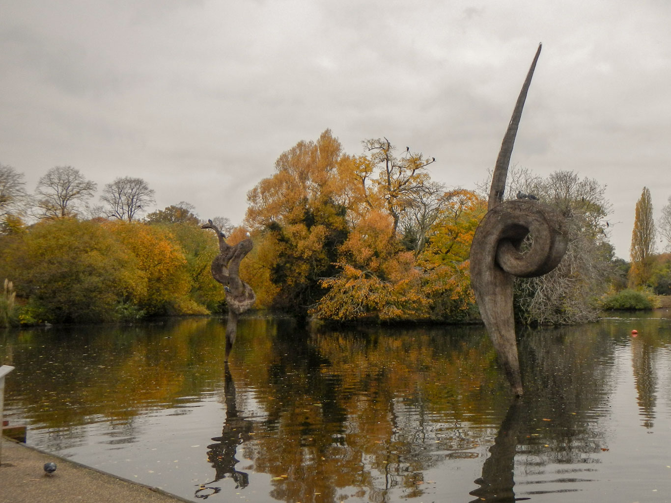
There were areas that looked quite rural (amazing so near central London); areas of light industry; residential areas; shopping centres; country parks; Regent’s park and London zoo; areas of regeneration; areas of apparent wasteland.

On the canal itself there was much evidence of activity. I saw a barge full of stones being moved by workmen. Fuel was being delivered to narrowboats by a “coal” boat. Residents were entering and leaving their boats or sitting on their boats. I could smell the smoke of fuel being burned to provide power for the needs of the occupants.
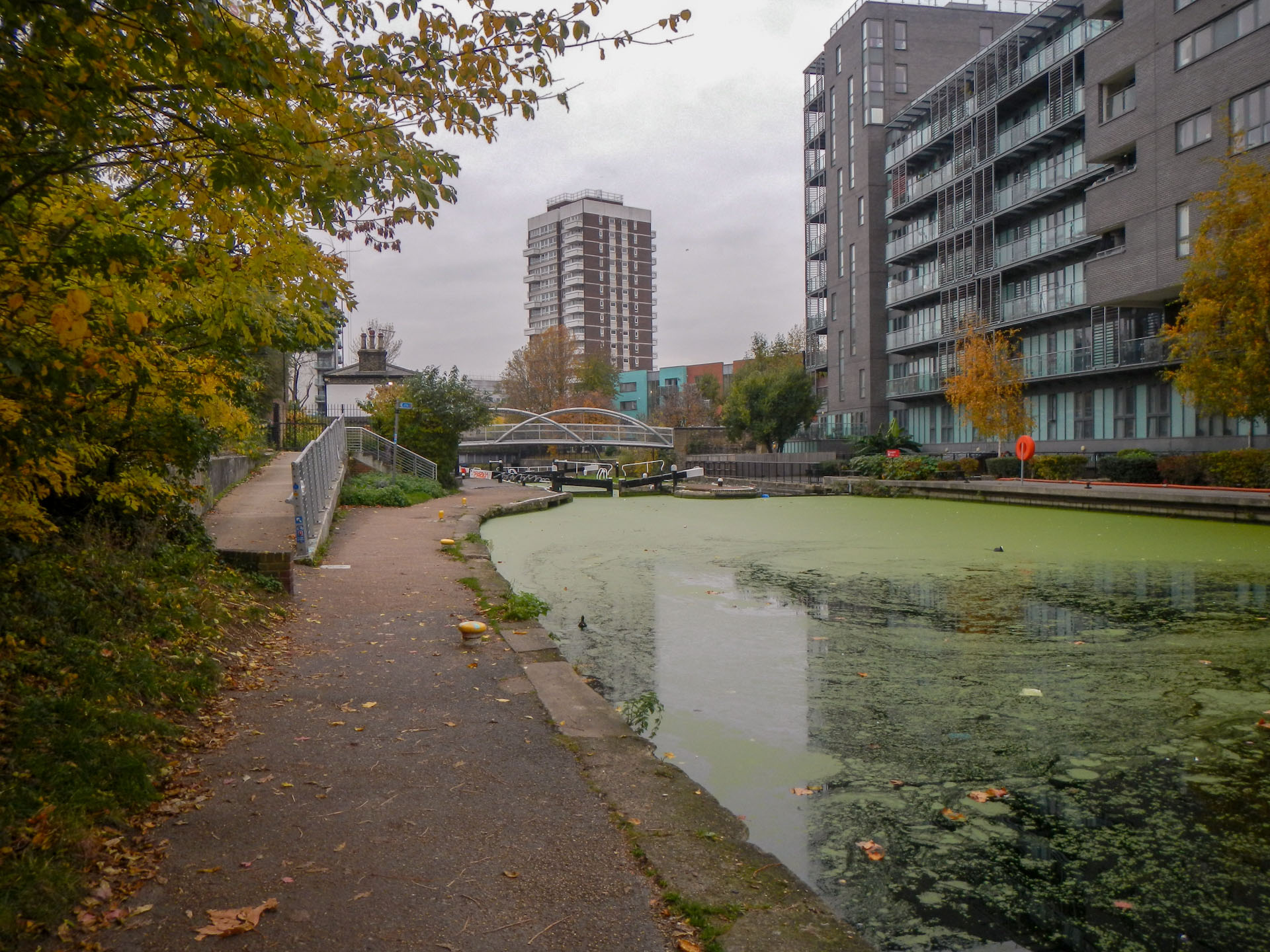
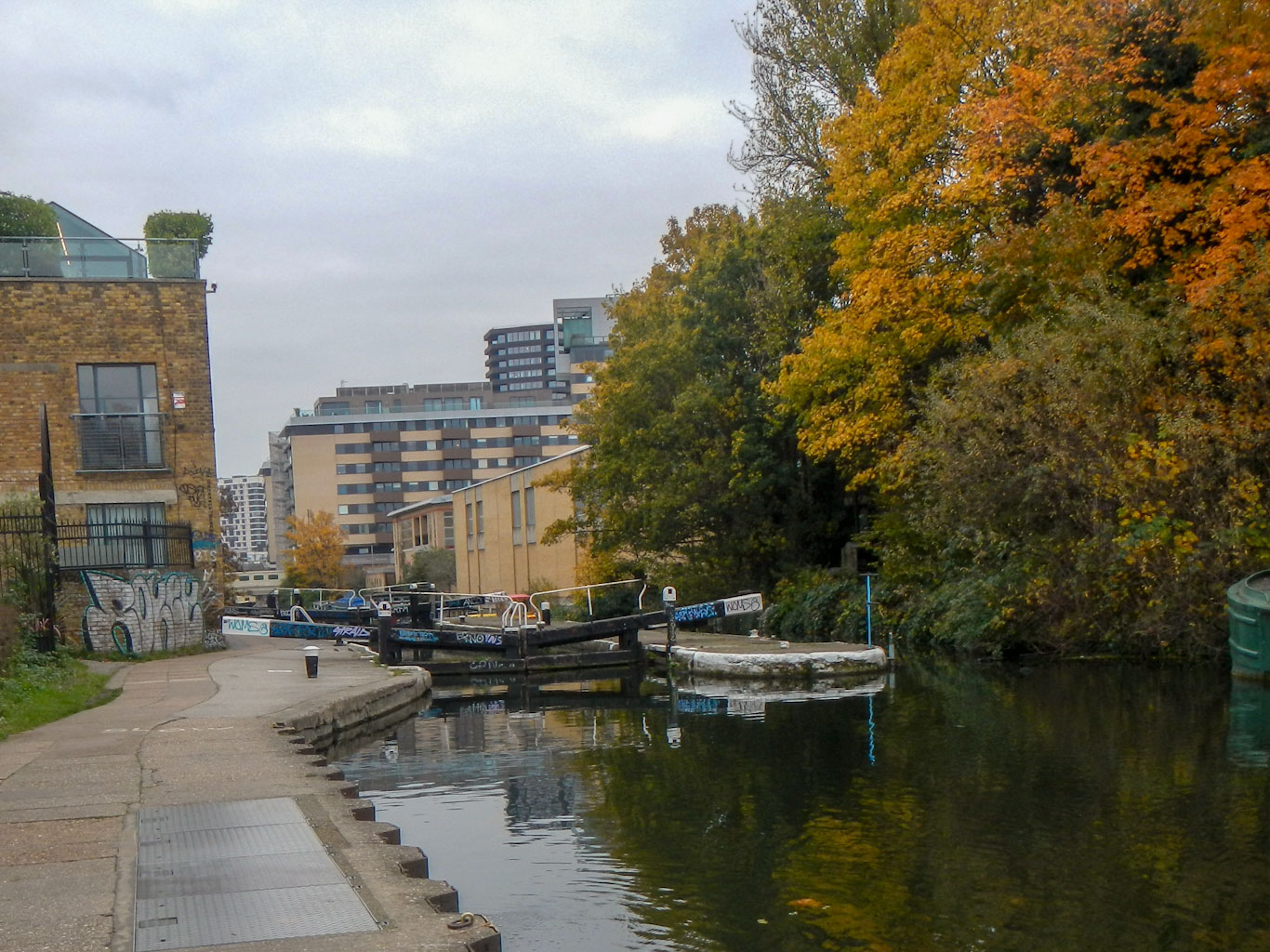
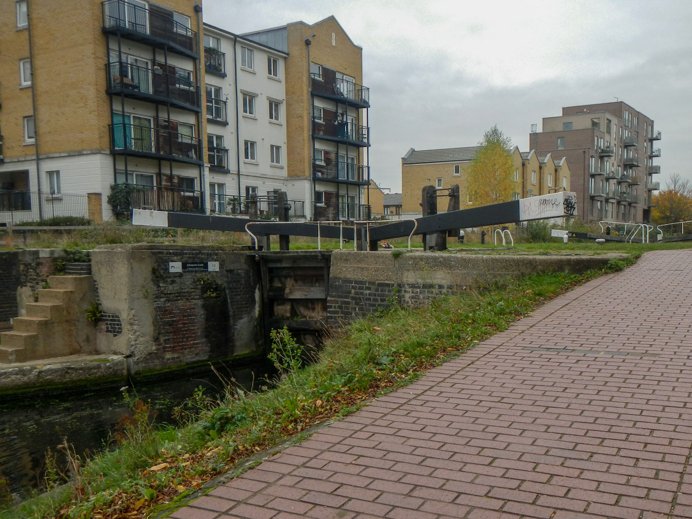
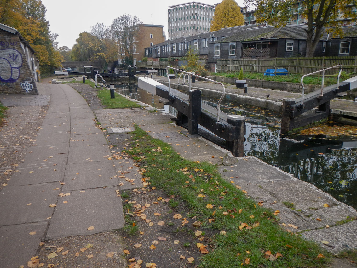
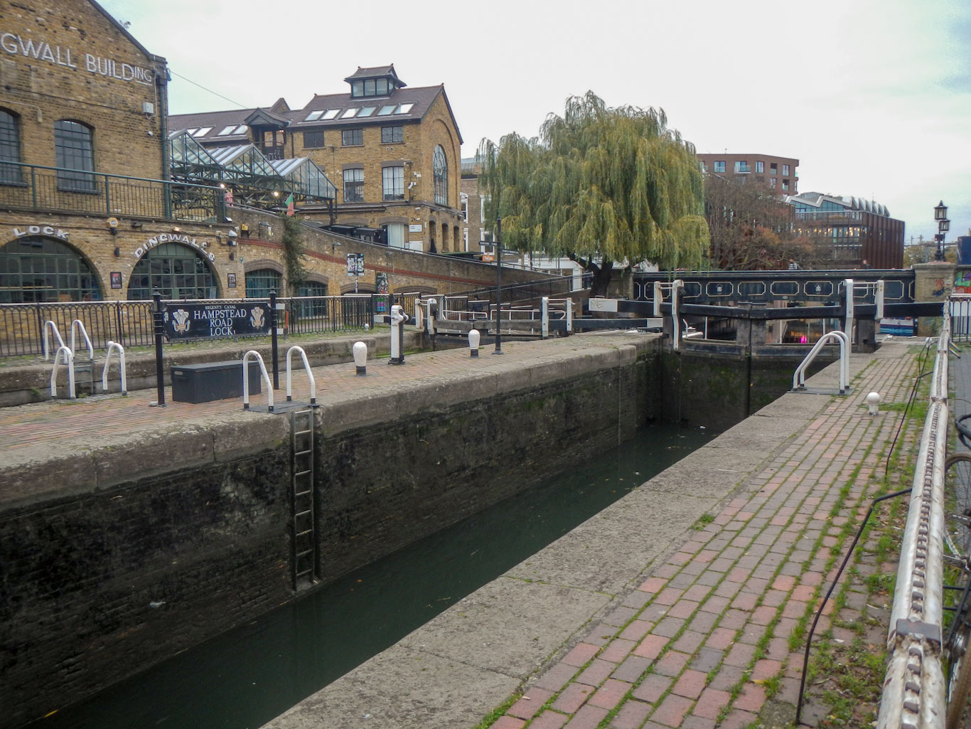
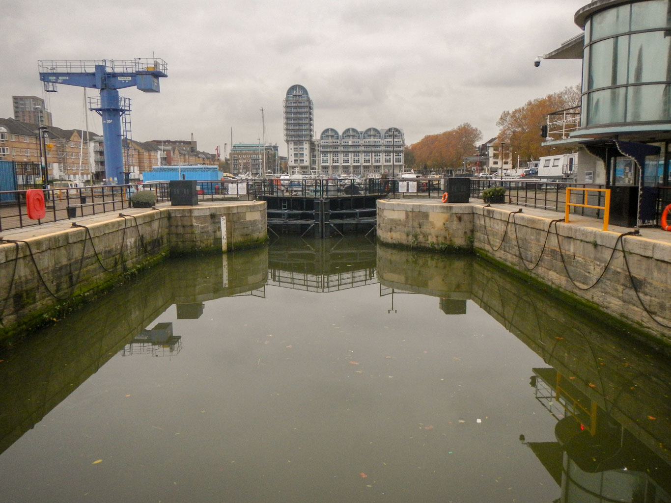
There is also plenty of “canal furniture” to see – multiple bridges, including one where the towpath changes sides and sweeps around over the bridge to facilitate the horse towing the boat not needing to be unhitched, many locks, a plethora of moorings etc..


On the towpath, there was a constant stream of runners, cyclists and the occasional walker.
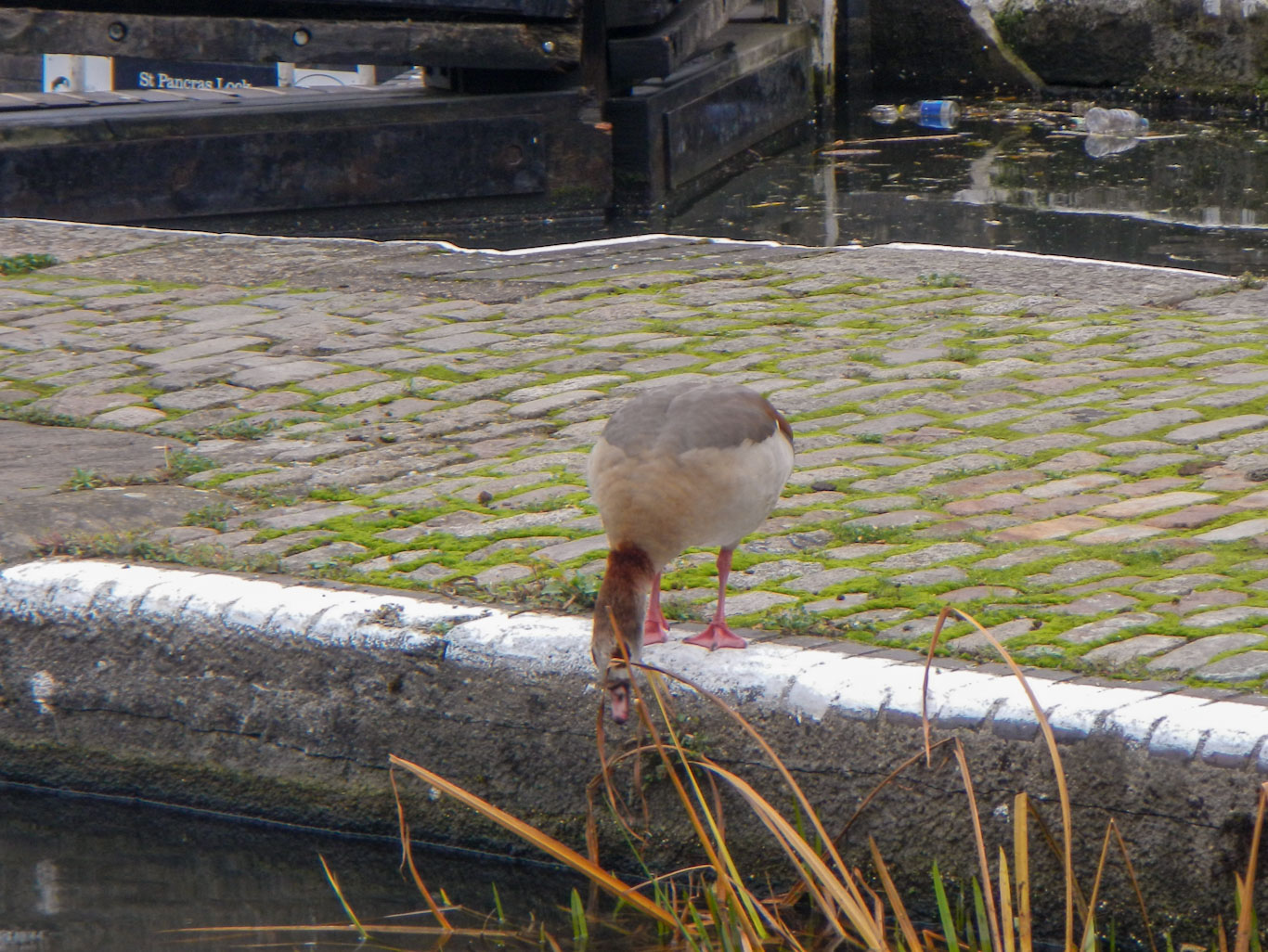
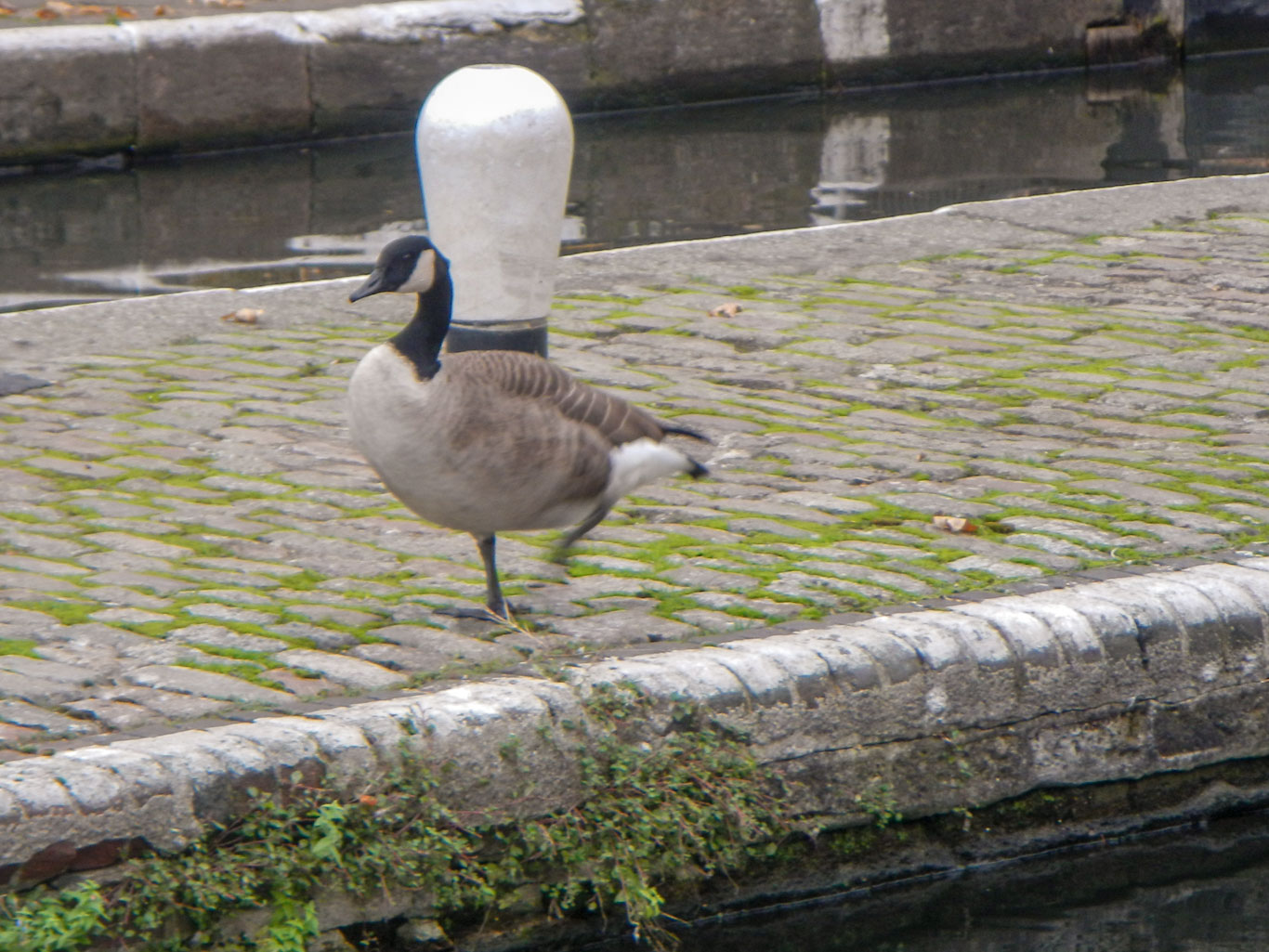
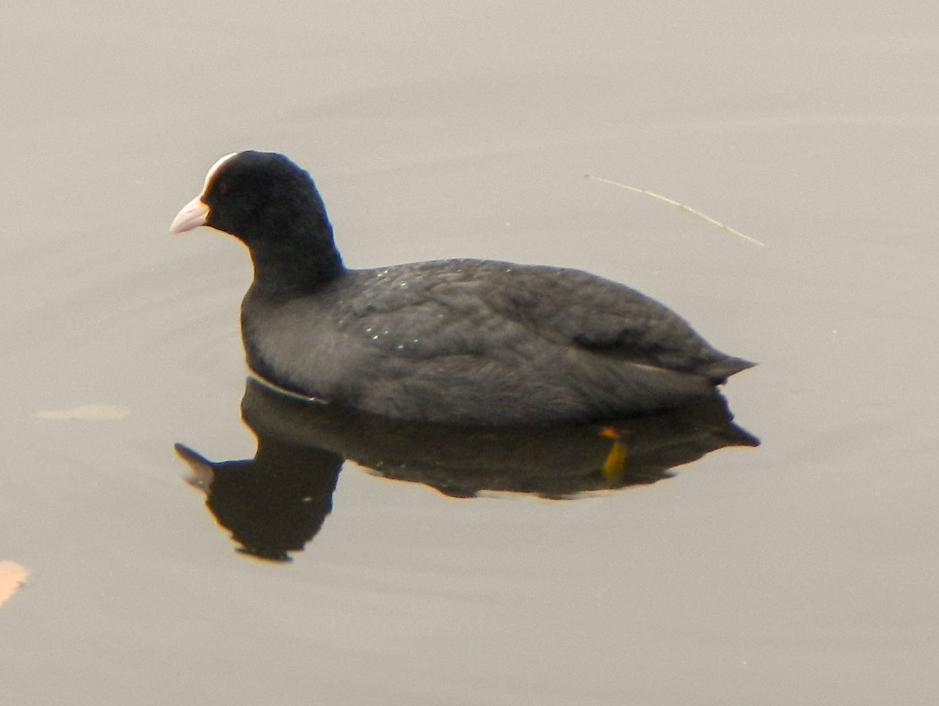
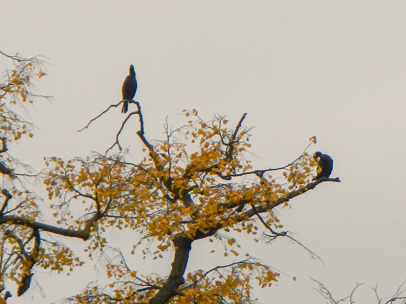
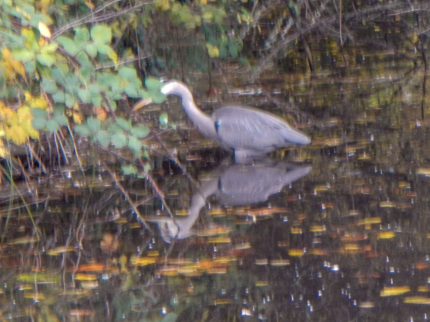
The canal is also an important area for wildlife and I saw cormorants, moorhens, heron, mallards, pochards, coots, mute swans, greylag geese, Egyptian geese, Canada geese as well as the ubiquitous pigeons. I broke my walk at Victoria Park in Tower Hamlets to enjoy a welcome cup of coffee from the lakeside café. After crossing the Hertford Union Canal where it runs into the Regent’s Canal, I walked through part of the 90 acre Mile End Park. This is built on land devastated by bombing in World War 2. It is designed to be sustainable and eco-friendly, incorporating a wind turbine and a bore hole.
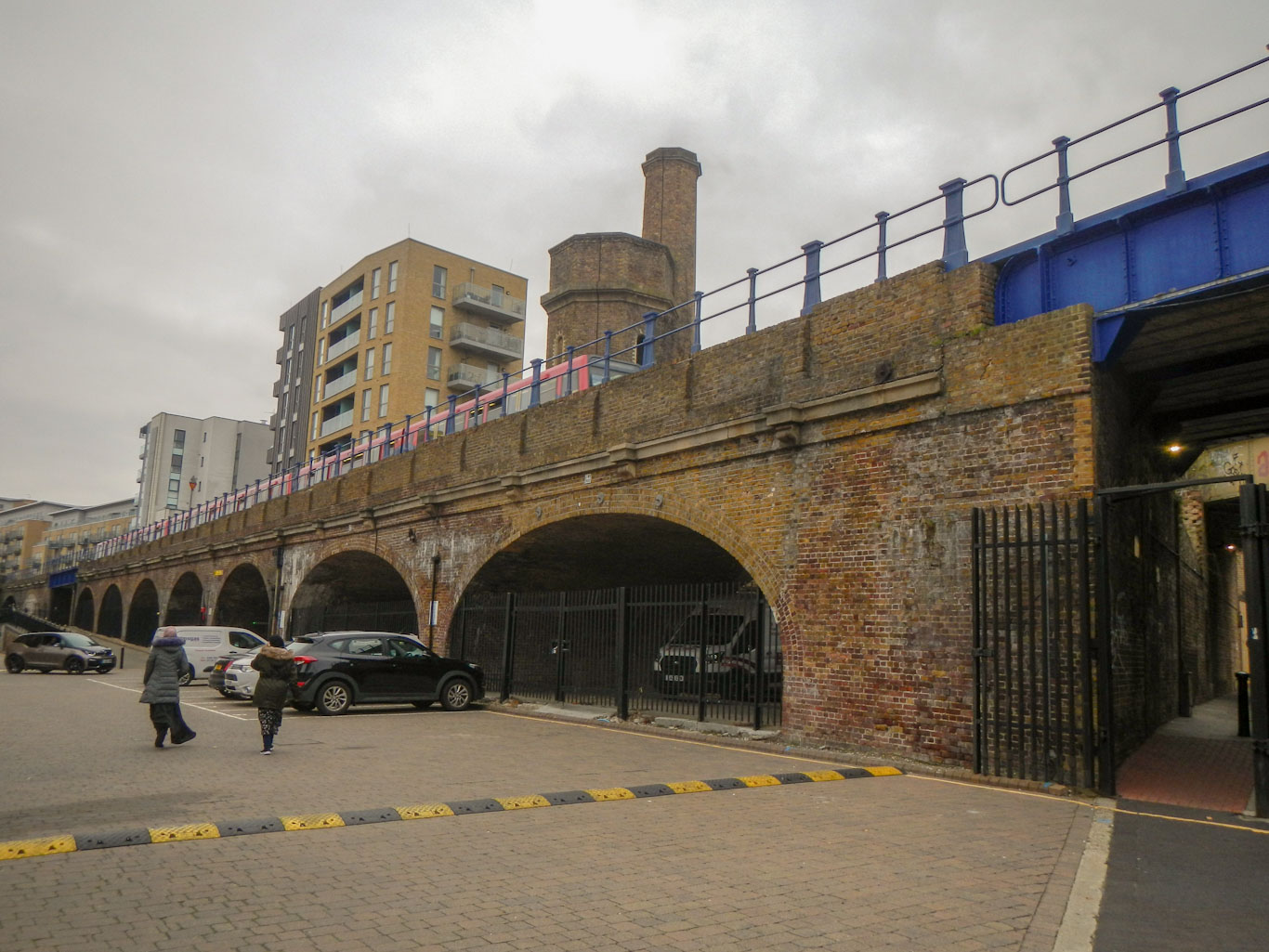
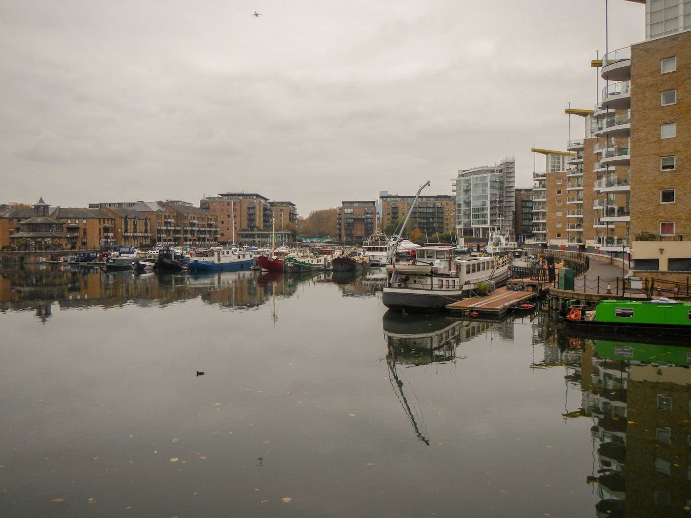
Eventually I reached the fascinating Limehouse Basin. The Docklands railway can be seen crossing the second oldest urban railway viaduct in the world originally engineered by Robert Stephenson and G.P. Bidder in 1840 to carry the London and Blackwall Railway between the City and Blackwall river ferry. The dock pioneered cargo handling technology in the mid nineteenth century when high pressure hydraulic cranes were installed so that unloading which would previously have taken days could be done in hours. The accumulator tower used to regulate pressure in the hydraulic system can still be seen – it was restored in 1995.
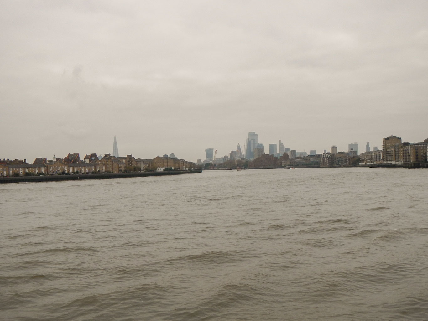
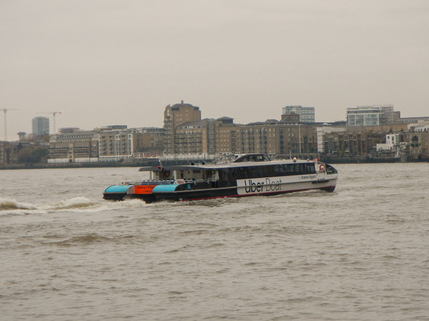
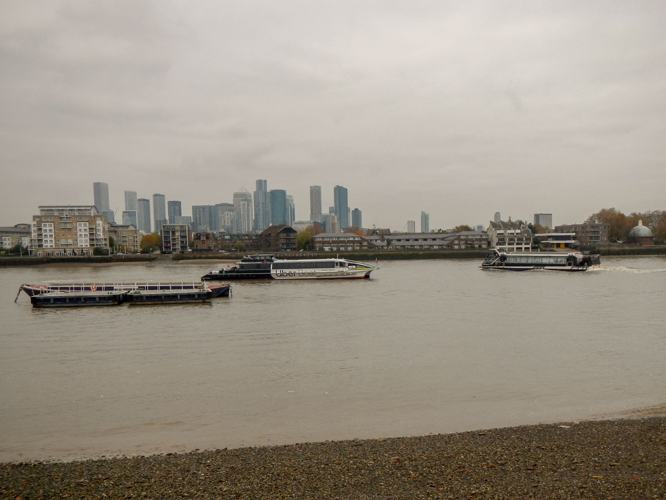
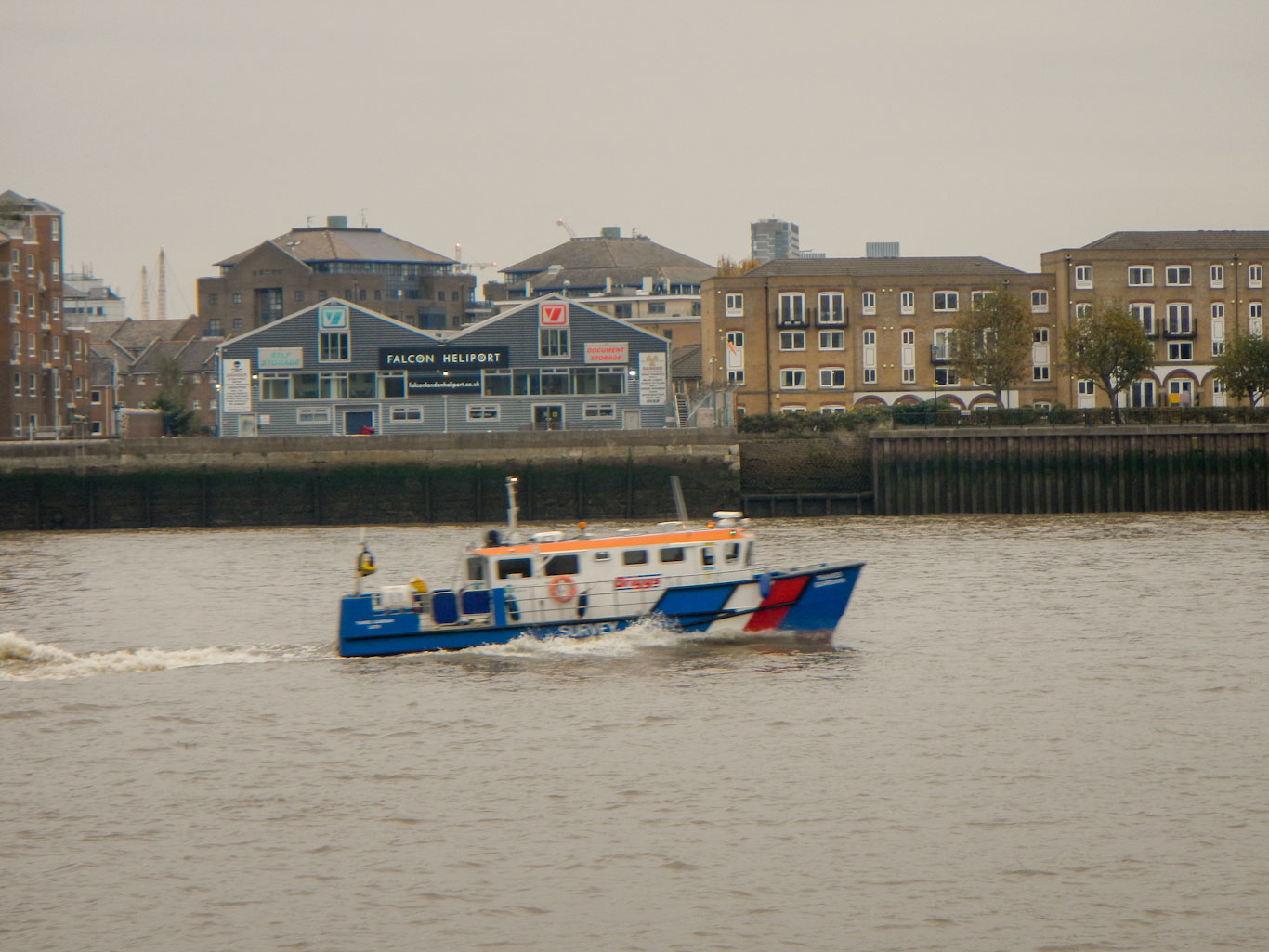
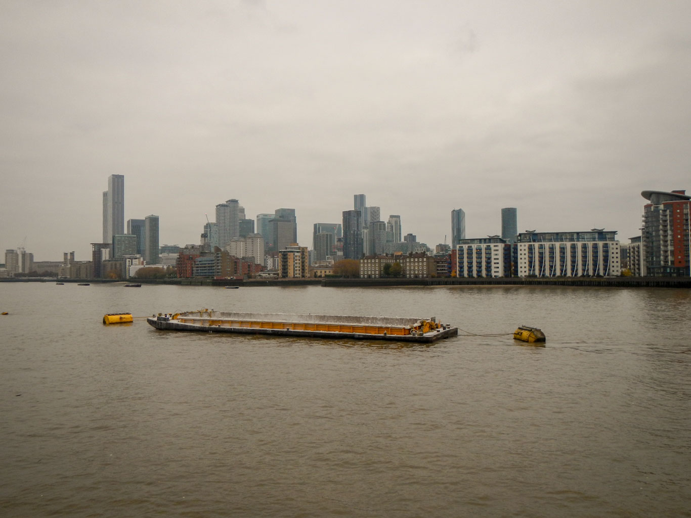
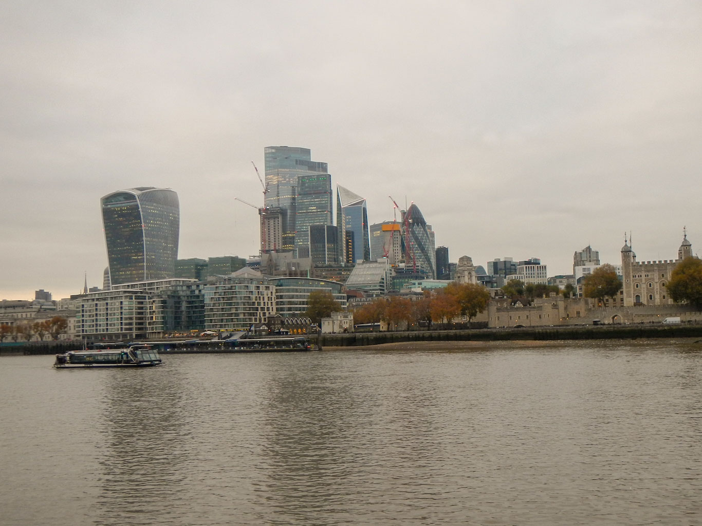
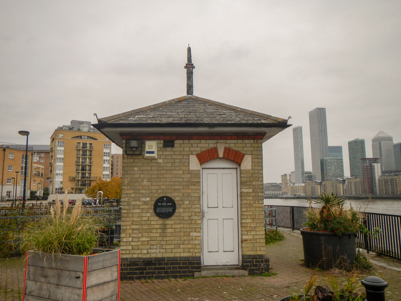
From Limehouse Basin, I followed the River Thames. Having spent the earlier part of the day following the narrow canal, I was immediately struck by the width of the river. The Greenwich foot tunnel where I planned to cross the river is 370m long, although the river itself isn’t quite that wide as the entrances to the foot tunnel are of course not immediately adjacent to the river banks. The National Thames Trail at this point has a choice of routes either on the north or south of the Thames so it was fairly straightforward to follow the north bank and later I would follow the National Trail on the south bank. As I walked, I passed enormous modern tower blocks, some old historic looking warehouses and some residential areas. There has clearly been an enormous work of regeneration in the Isle of Dogs area. On the river, there were frequent boats plying their way, in particular the Thames cruise boats and the Uber River bus as well as occasional other vessels including a few police boats.
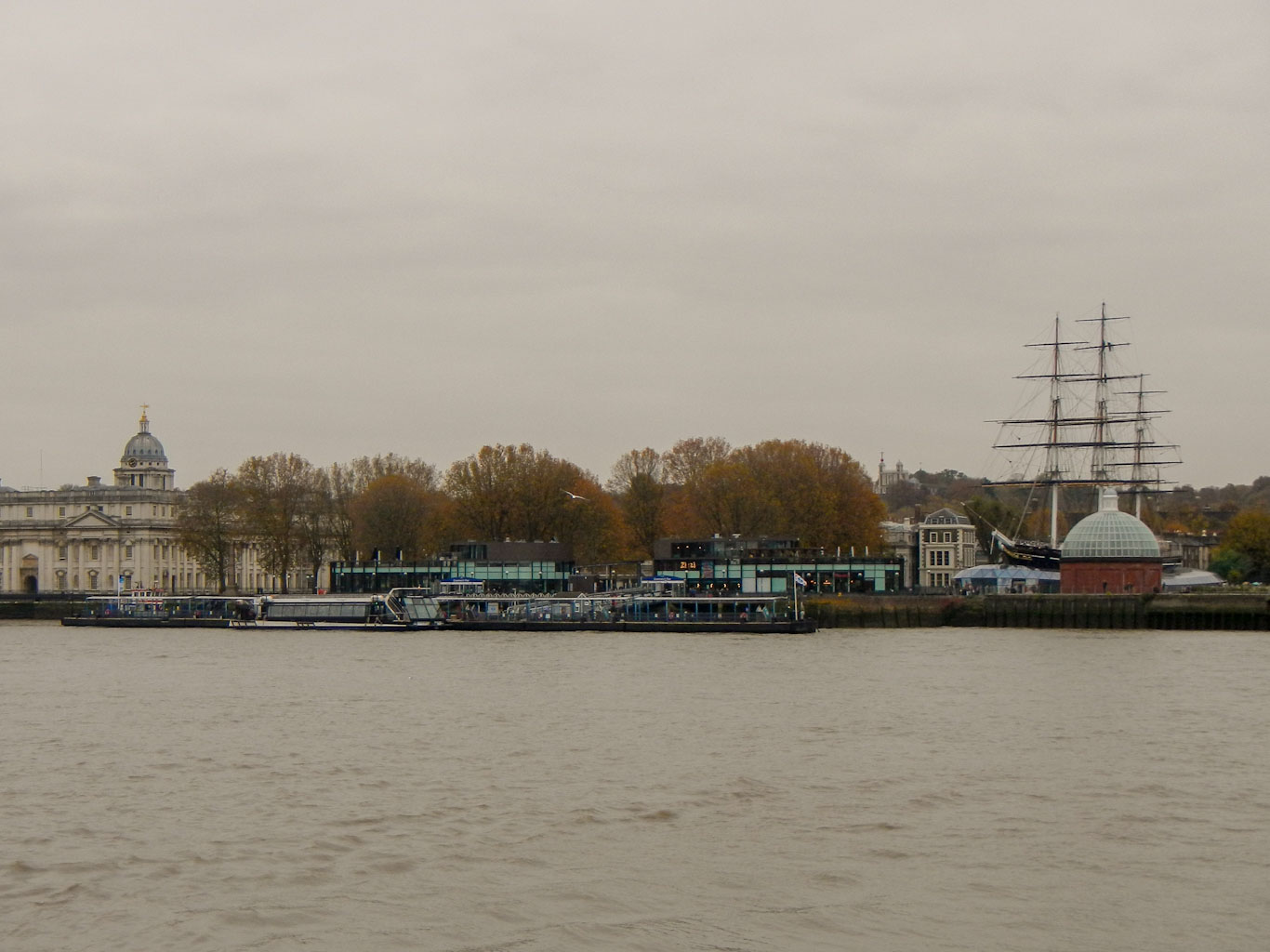

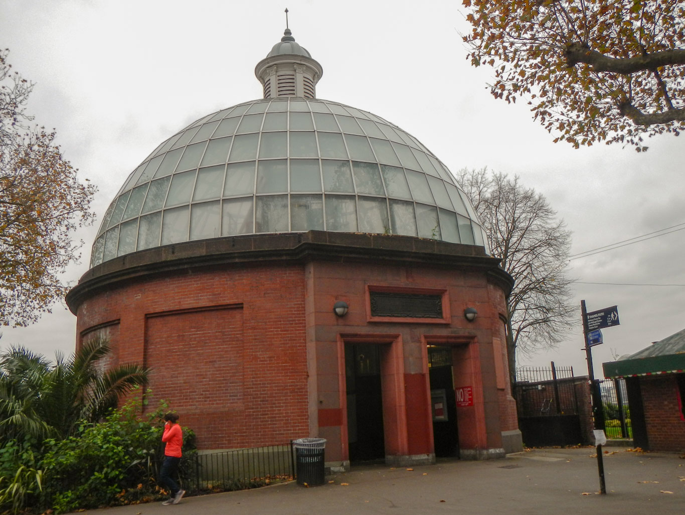
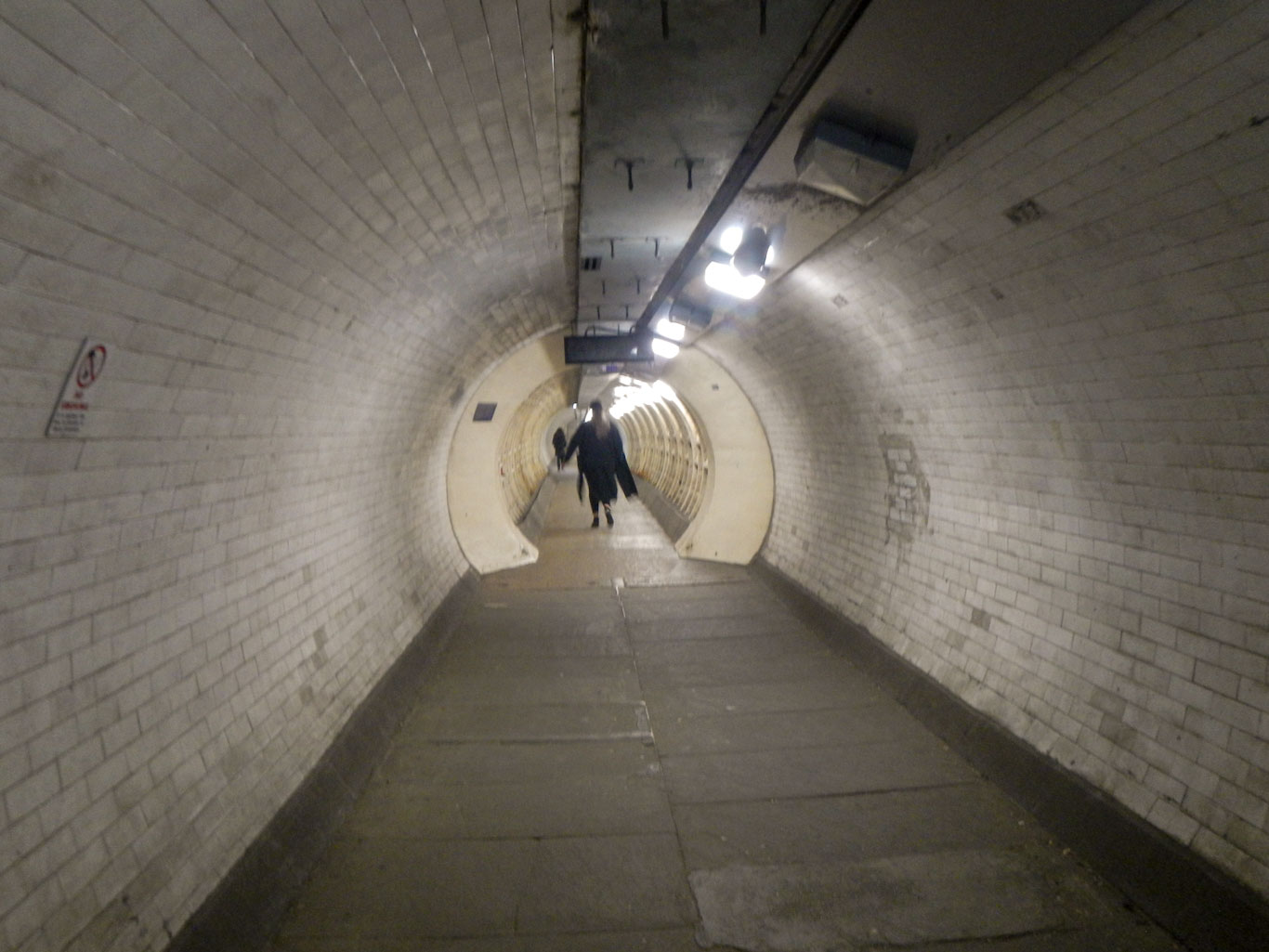
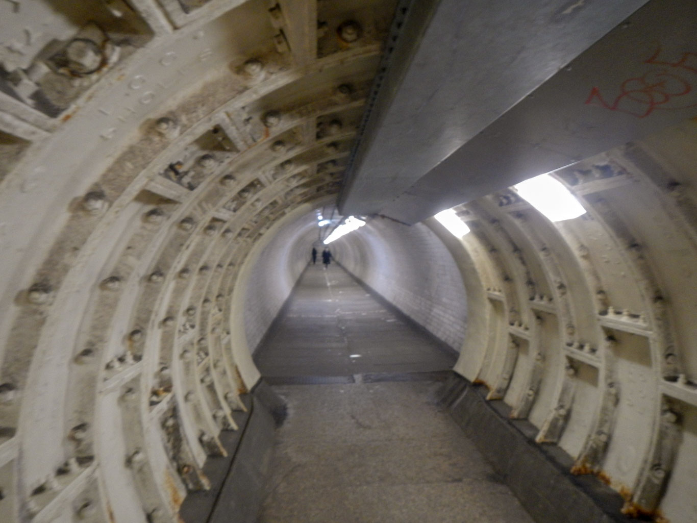
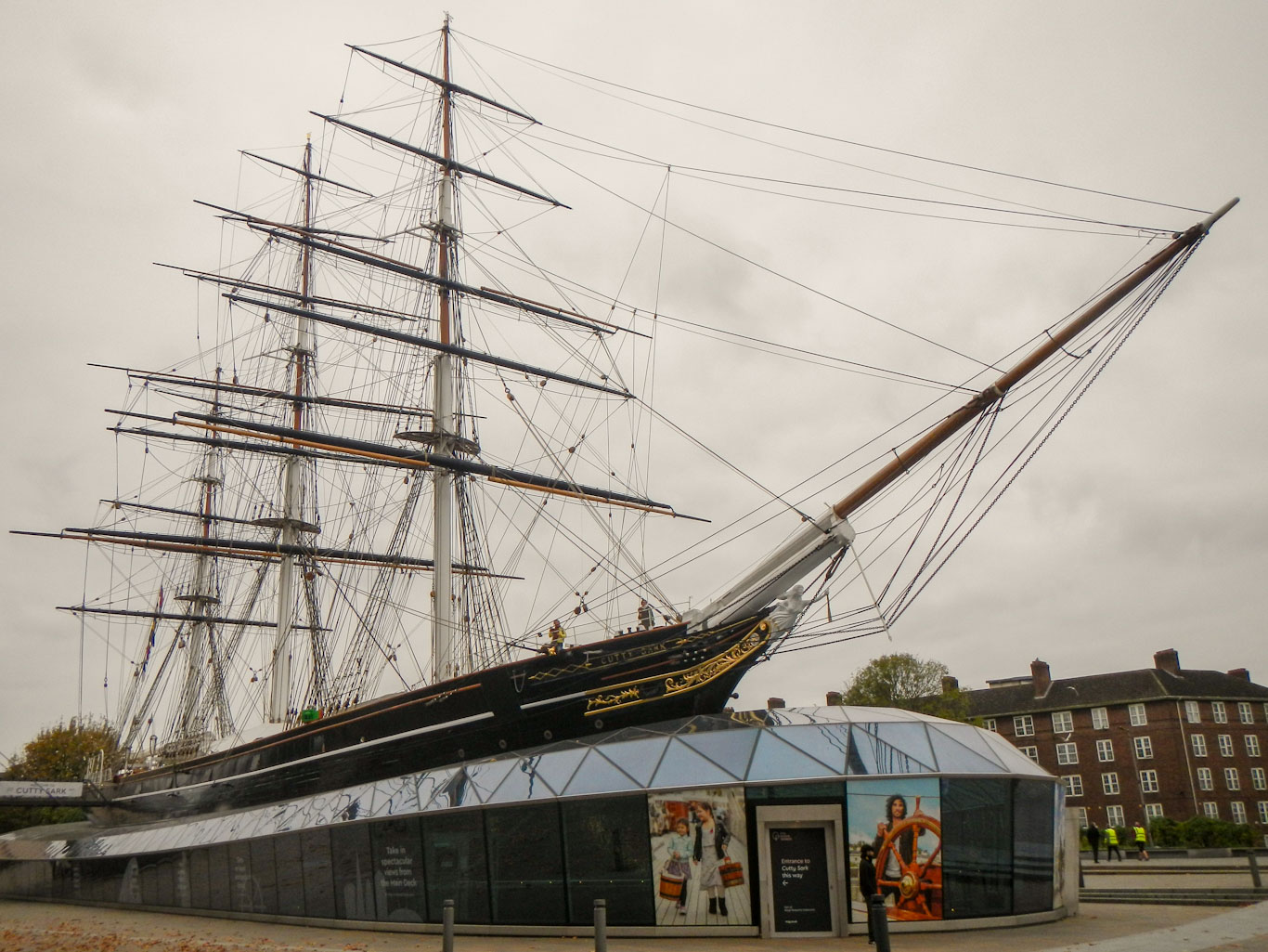
I soon reached the Greenwich Foot Tunnel, which was opened in 1902. Descending the spiral steps and walking through this tunnel before ascending and emerging adjacent to the Cutty Sark was one of the highlights of my walk. I spotted the section of the tunnel near the Isle of Dogs end which was damaged by bombs during the Second World War – repairs included a thick steel and concrete inner lining reducing the tunnel diameter for a short distance.
Last time I had gone through the tunnel was on London Marathon day in 2019 when I spectated having resigned my “good for age” place to run due to injury in the time leading up to the race. The area near Cutty Sark was busy this time but not as frenetic or crowded as it had been on that day.
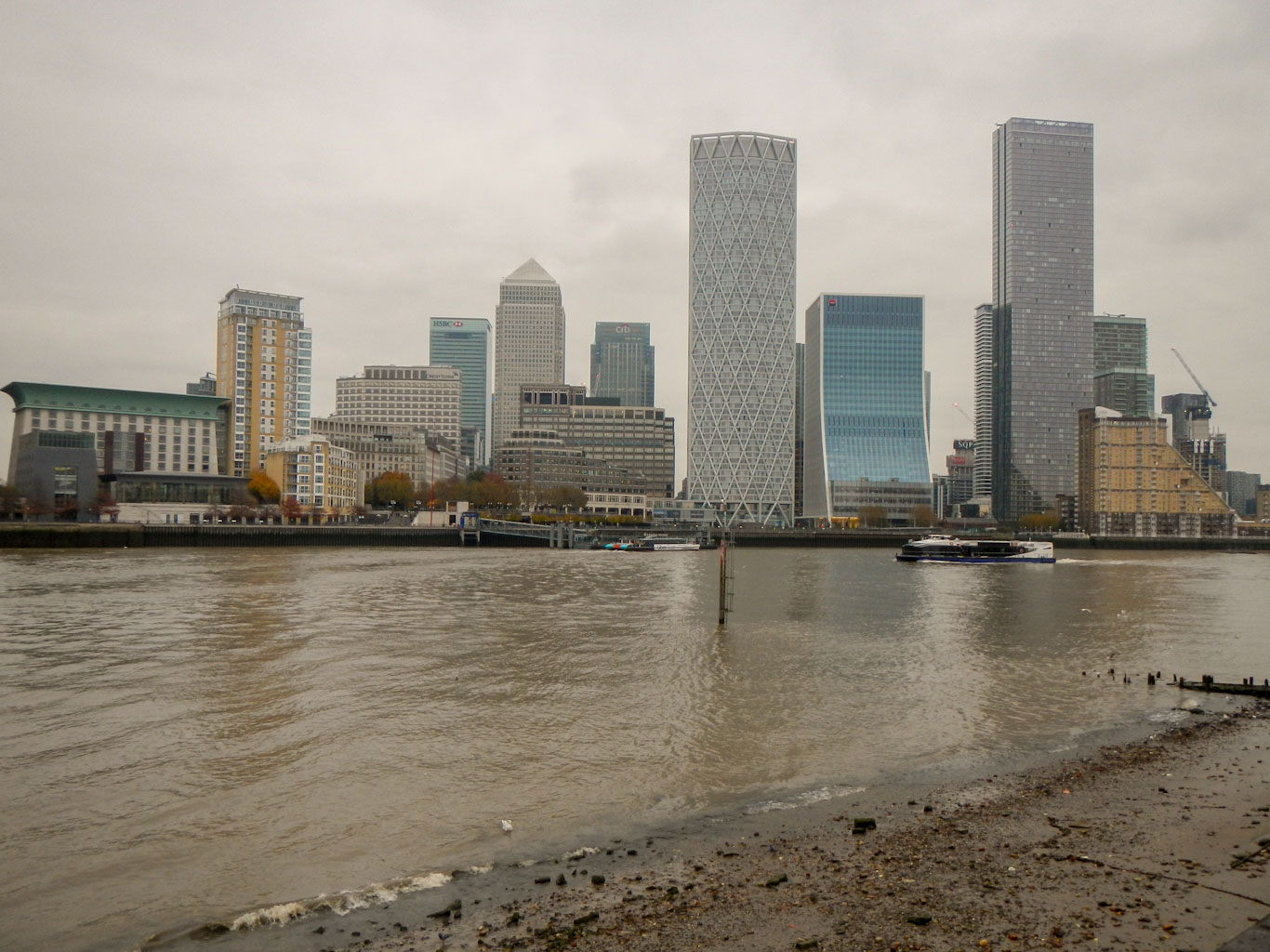
My walk continued following the National Trail on the south bank of the Thames, although there were various sections where the path was away from the river bank. There are multiple wharfs in various states of repair and restoration, views across and up the river of the iconic tall office blocks – including the Gherkin, the Shard and the HSB building.

At one stage, a sign suggested that the route ran through a hotel reception – I followed this and ended up at a dead end in the building so I retreated rapidly trying to appear confident enough to minimise the risk of being questioned. In retrospect I think there was a way through the building but not the way I had gone. I ended up following some roads before finding my way back on to the route a few hundred yards further upstream. I also passed some old dock areas with interesting historic features.
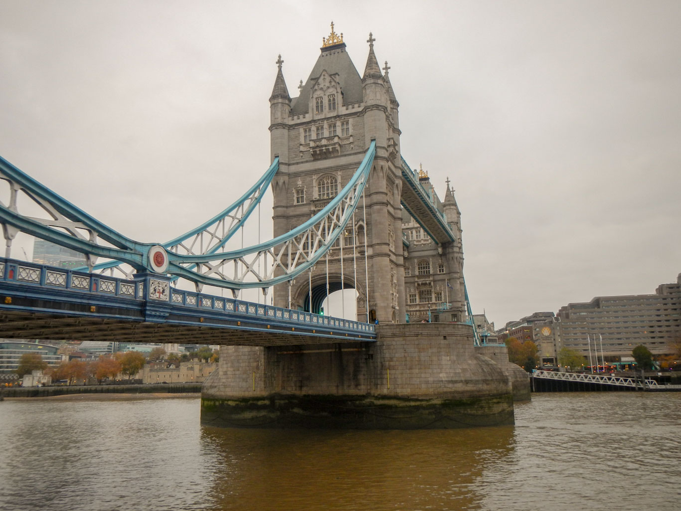
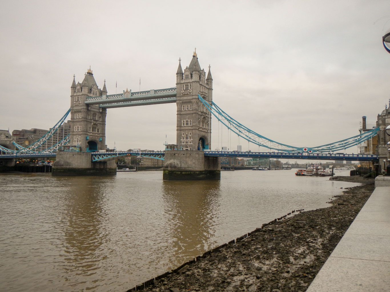
I could see Tower Bridge and St Paul’s Cathedral in the distance and gradually becoming closer. Eventually I was very near the imposing structure of Tower Bridge, almost 65m high. I was definitely approaching the more familiar tourist part of London.
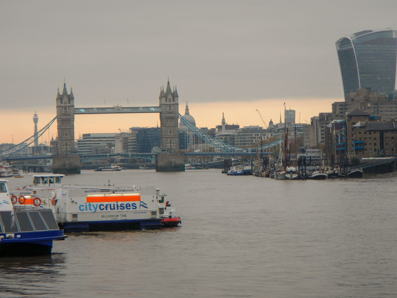
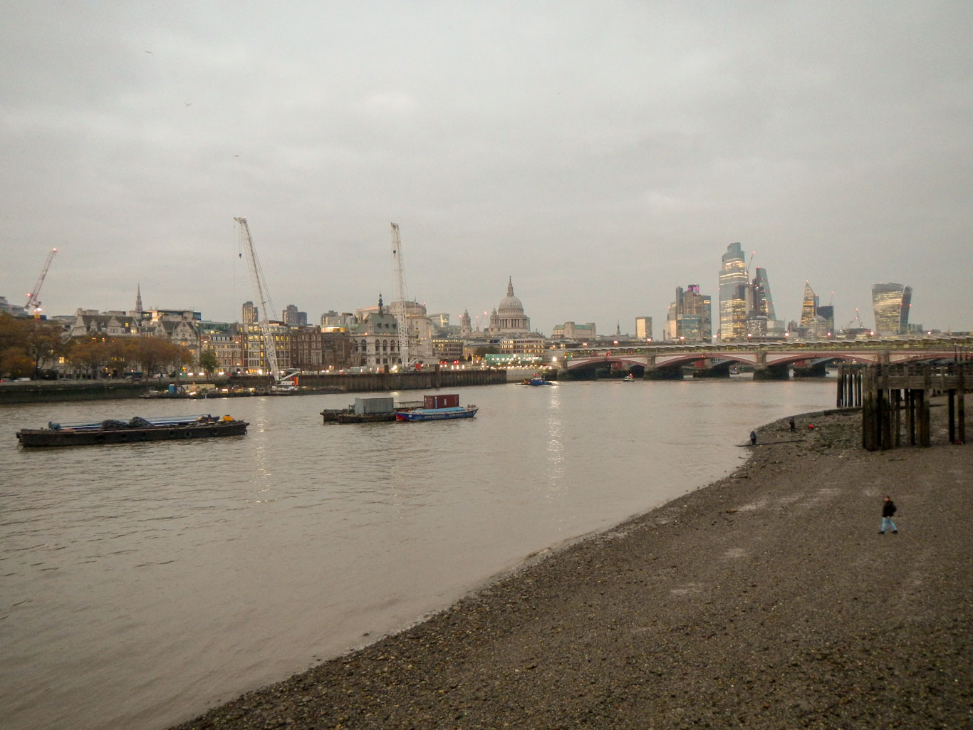
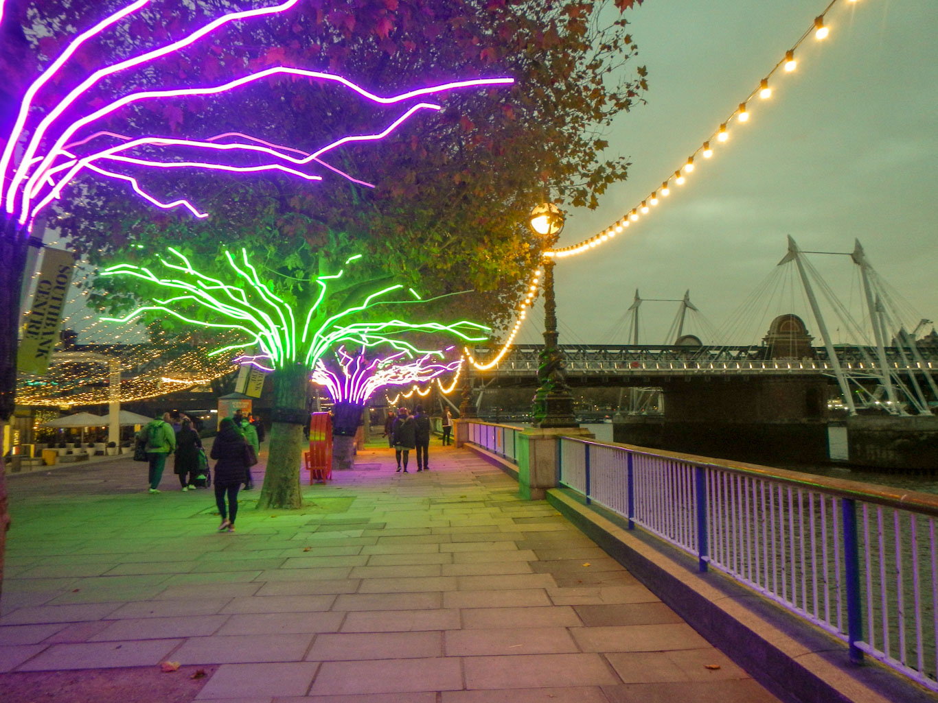
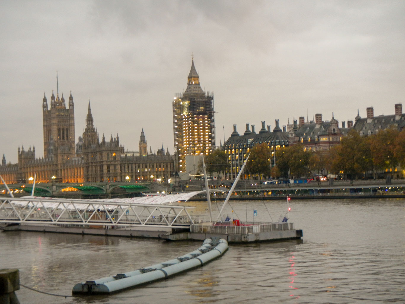
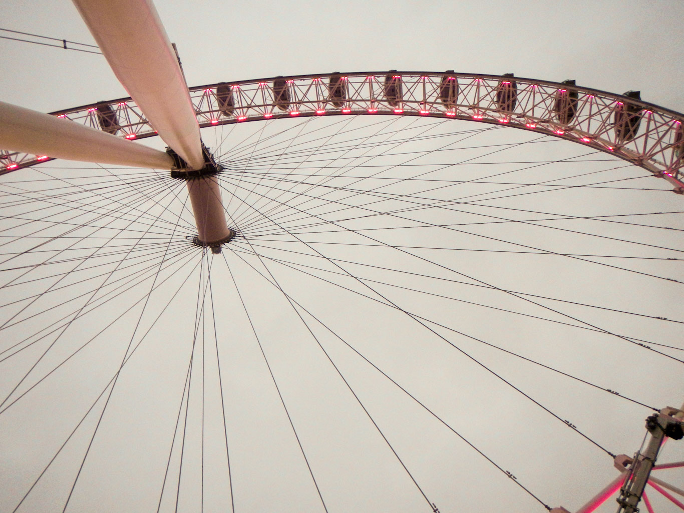
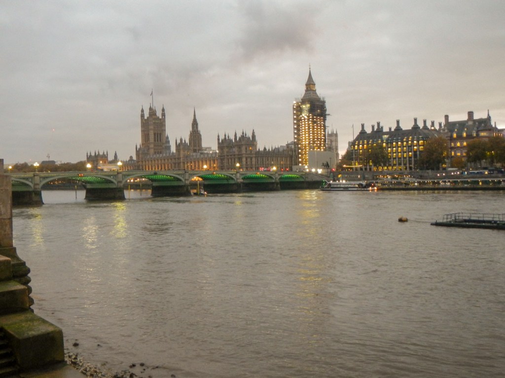
I passed HMS Belfast and noted the multiple posters advertising displays on nine floors, enticing people to visit this ship, . Many market stalls were being set up for a Christmas market due to open the next day. I passed London bridge where the path went away from the waterside and I saw signs to The Golden Hind – earlier near Deptford I had spotted a memorial to Sir Francis Drake close to the creek where Queen Elizabeth 1 had boarded the ship and knighted him in recognition of the honour that he had brought to England by his discoveries and circumnavigation of the earth in 1577-80. I saw the Millennium foot bridge, passed the Tate Modern and reached Waterloo Bridge. On this dull and cloudy November afternoon, daylight was already fading fast by the time I reached The London Eye which was impressively lit up. There were also some coloured lights decorating trees. Big Ben was clothed in scaffolding and this was also dotted with lights.

It was time to end my walk and so I crossed over Westminster Bridge, thronged with crowds of commuters and tourists to descend to the Underground station and return to my hotel.
The walk from the familiar hustle and bustle of Paddington Station to follow the Regent’s Canal had certainly given me a different view of London; the Greenwich foot tunnel under the Thames was a highlight especially as I re-ascended next to the iconic Cutty Sark; the section along the Thames in the afternoon had led me back to many of the familiar London tourist landmarks.
There are many other adventures that I could have chosen – a speedboat tour on The Thames, climbing on to the roof of O2, descending the ArcelorMittal Orbit slide, staying in a zoo lion lodge at London Zoo are just a few – but the beauty of my adventure was that it was free!
