12 October 2021
The weather forecast wasn’t brilliant with predictions of low cloud and a high chance of rain, so we used this day to complete our only planned lower level walk. Our plans went through several alterations and refinements – whether to go by car or bus to Bowness and whether to cross Windermere twice or just cross once and travel on the road round the lake to Hawkshead in one direction on the bus.
Eventually the lure of taking an open top bus from near our hotel in Grasmere meant that we decided to invest in Central Lakeland day tickets and leave the car at the hotel. Hence the adventure actually started on map 90 and we had already enjoyed the scenery and tourist commentary from the upper deck of the open bus before crossing on to map 97 a mile or so north of Windermere. This ride was reputed to include the finest view from any bus stop in the world, looking across the lake to the mountains beyond.
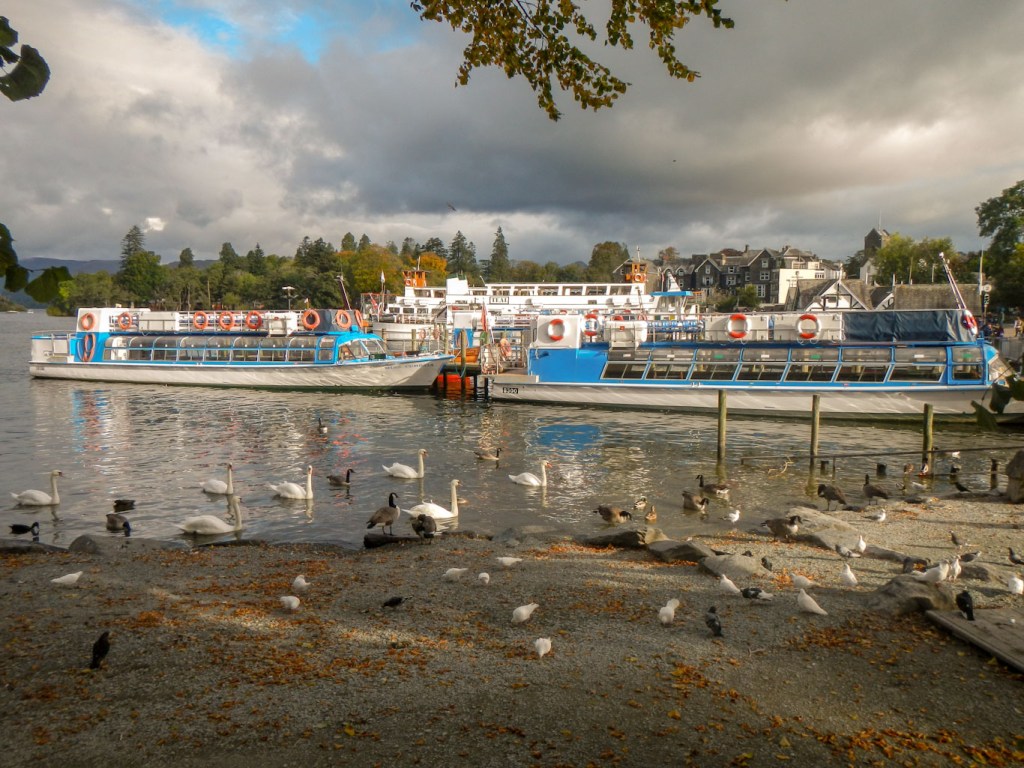
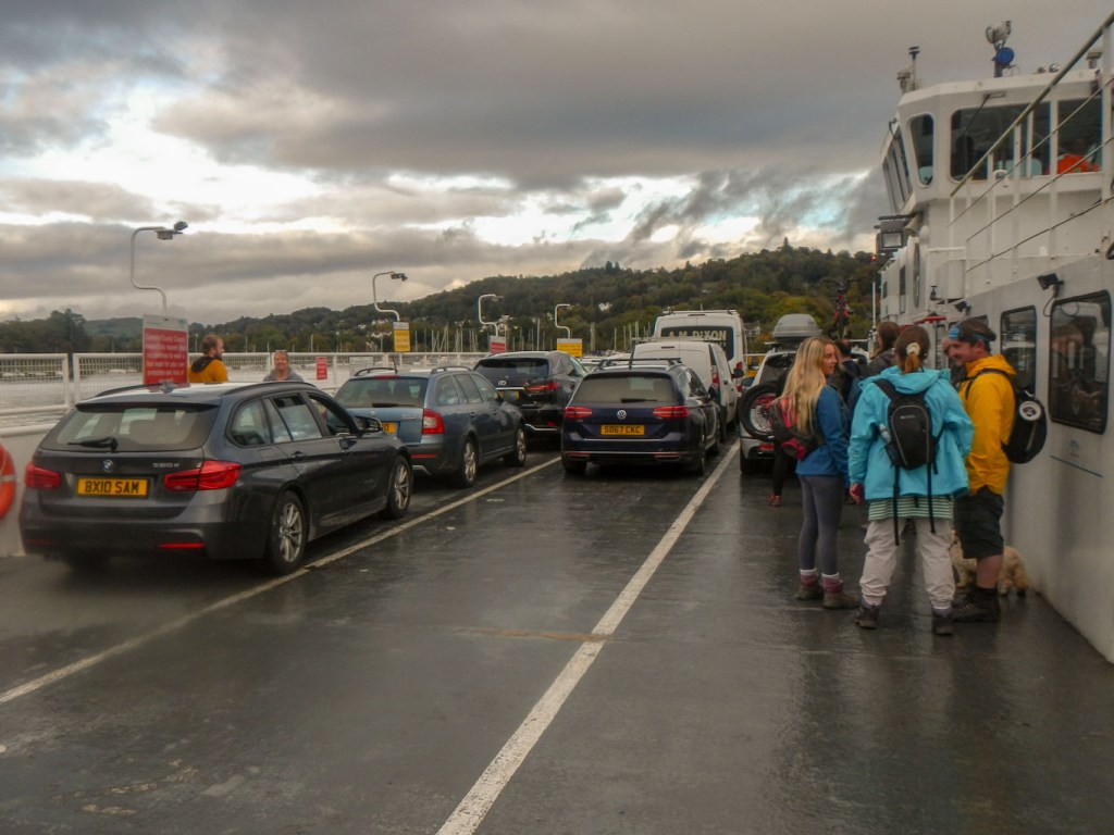
We disembarked at the landing stages for steamer tours round the lake and walked the short distance to the separate ferry landing stage. It’s operated by one diesel powered craft – The Mallard – and is a cable ferry. It’s the only boat on the lake to carry cars – but car passengers have to remain in their vehicles, whereas foot passengers can wander round the deck and take in the sights.
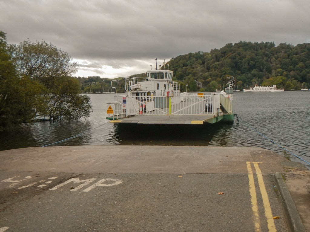
The Mallard approaches Bowness side of Windermere 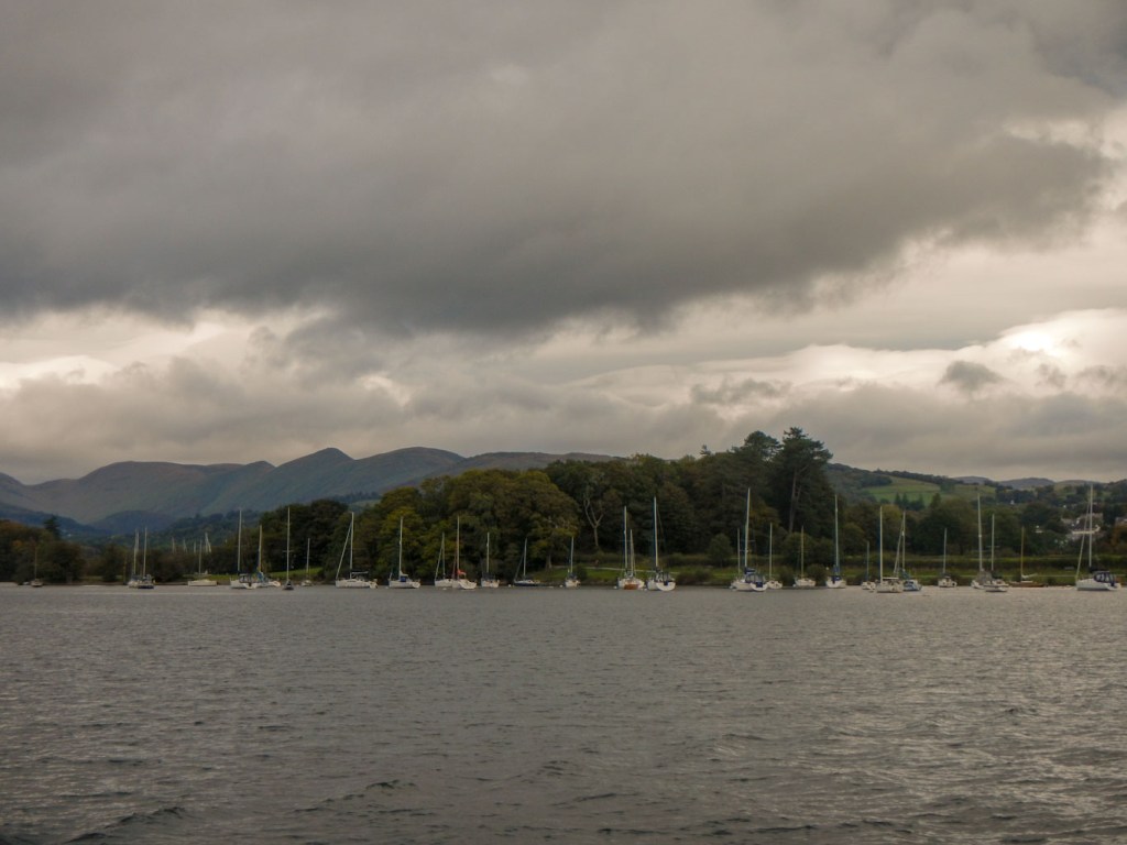
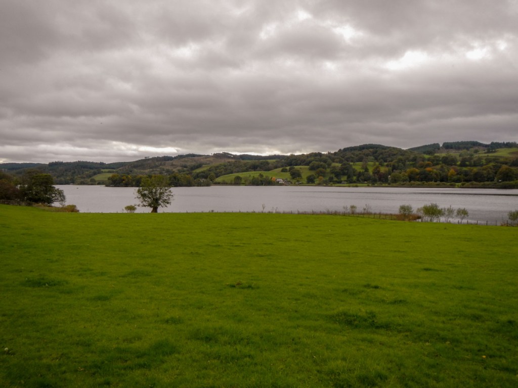
View from the ferry
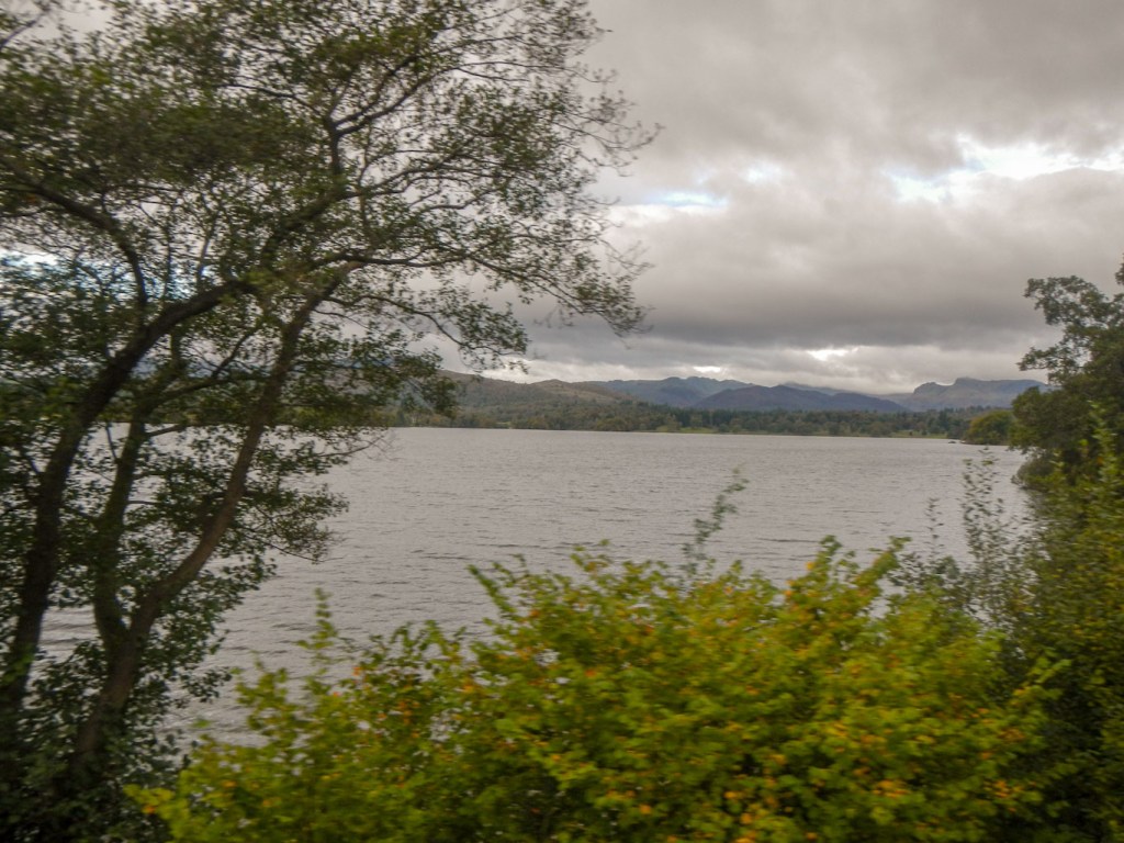
The crossing only takes a few minutes and once across to the west side, the bustle of Bowness is left well behind. We walked up the fairly quiet road towards Hill Top, famed as the home of Beatrix Potter. Some footpaths near the road reduced the monotony of road walking. Suffice to say we didn’t see any of the famous rabbits, despite keeping our eyes open. After Hill Top, our route continued close to or on the road past Esthwaite Water.
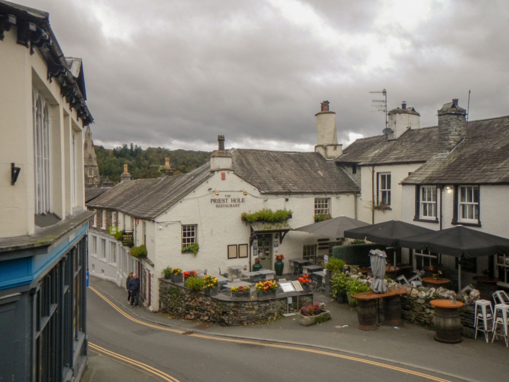
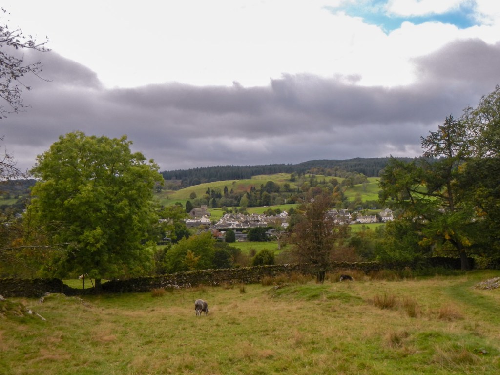
We watched the world go by as we sat on a bench in Hawkshead close to the church. There were a few attractive looking buildings in the village, but mainly it appeared to be a bit of a tourist trap.
Lunch was soon over and we headed off to the east of the village to complete the walk that was actually our main objective for the day. there was a veritable network of interconnecting paths, some of which were waymarked without signs, some wooden finger posts pointing the direction and some without any markers at all. The woodland is managed and hence new areas of open land come and go and trees grow obscuring previous views until they are harvested and the view can be seen again. We became confused in the criss-crossing of the myriad paths and ended up taking a completely wrong turn past some open land and a few small tarns.
Views through gaps between the trees 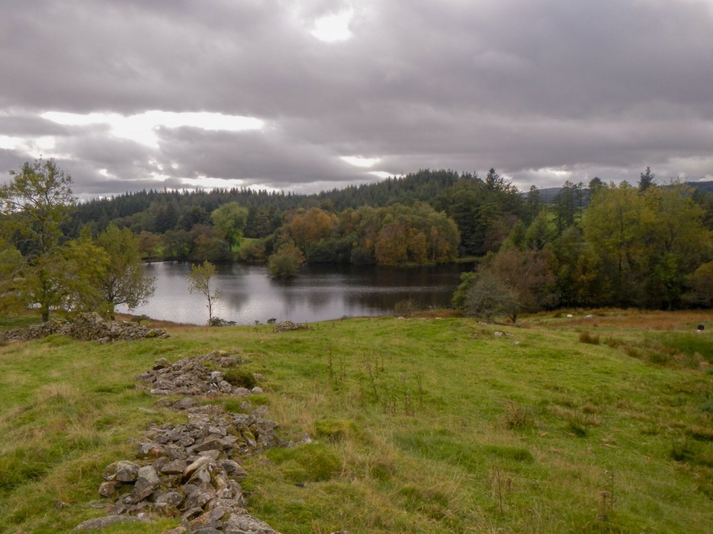
This picturesque tarn wasn’t on our planned route
We realised that we hadn’t expected to pass these tarns, pleasant though they were. We stopped and had a good look at the map to evaluate our position – confirmed by my Sat-map that I hadn’t turned on until then as we weren’t expecting any wayfinding issues. We worked out how to get back on the route. but unfortunately this would have led past a notice that asked people to keep out.
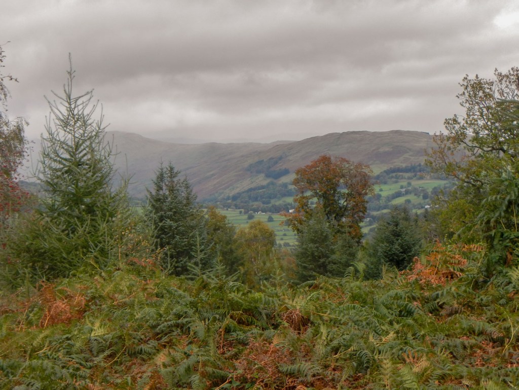
My information sheet about the walk mentioned stunning views across Windermere from the trig point. I was keen not to miss this so we had to back track and landed up on some definite but overgrown paths which even had a few board walks despite appearing little used. Unfortunately, although we arrived at High Blind How (definitely as evidenced by the trig point), the trees had grown tall and it was no longer a good viewpoint.
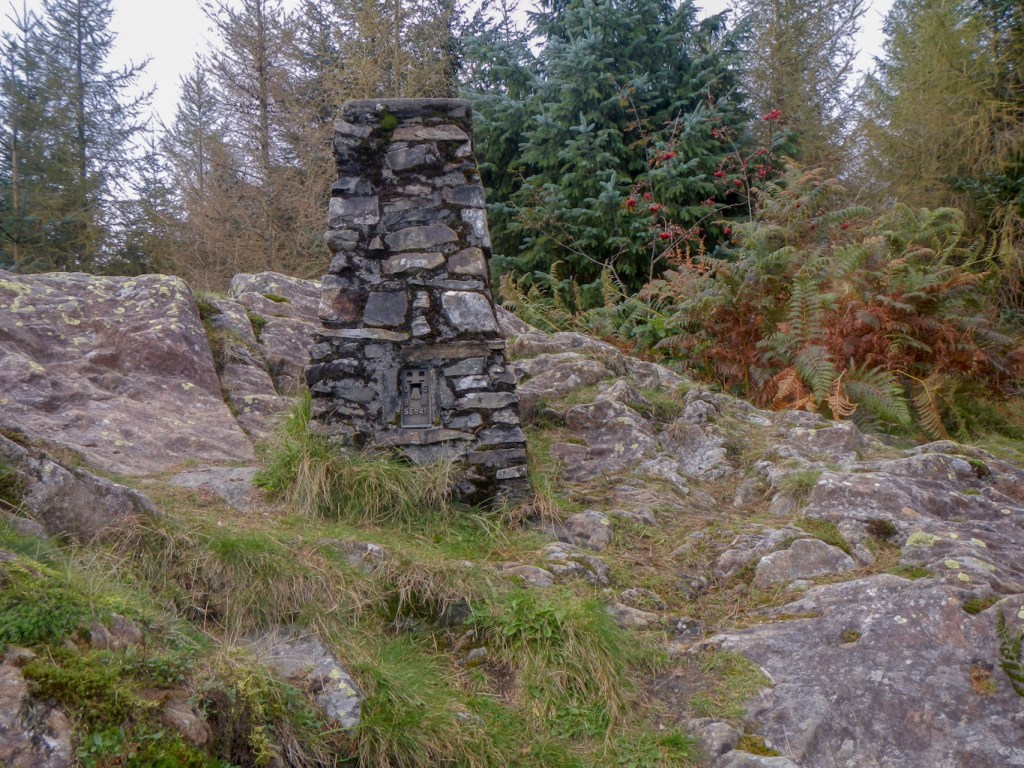
Hugh Blind How trig point 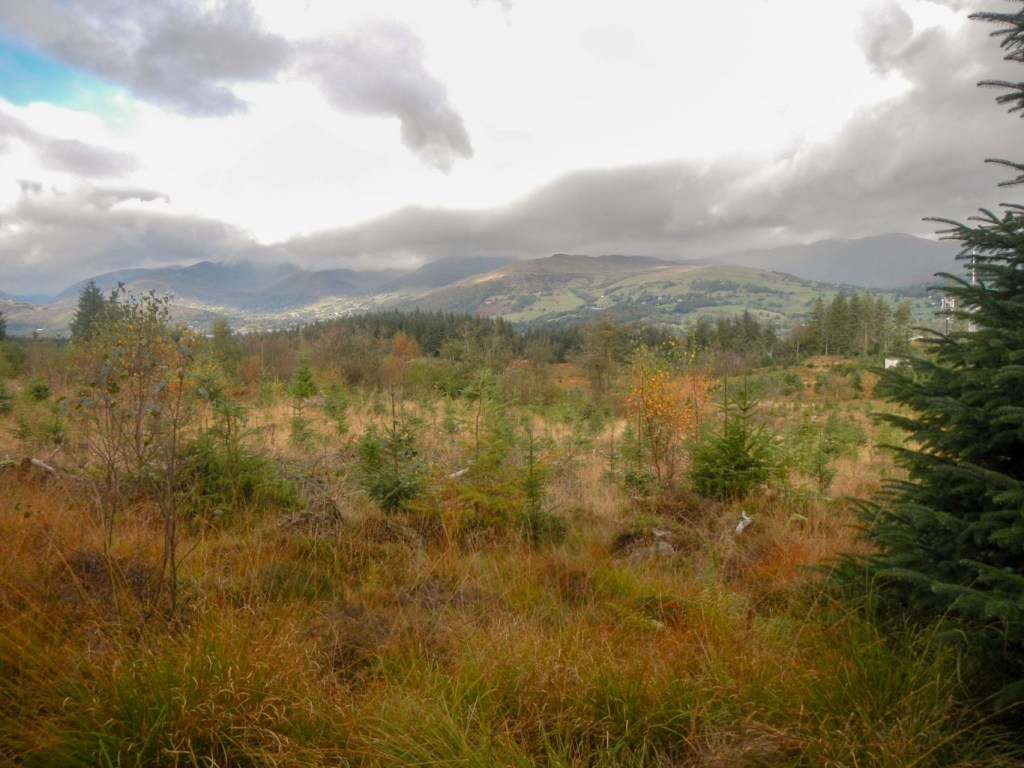
A good view but not from near the trig point
As we trekked through the woodland, we were surprised by a sudden raucous bird call and momentarily spotted a jay that was clearly just as perturbed by us as we were by its loud screech.
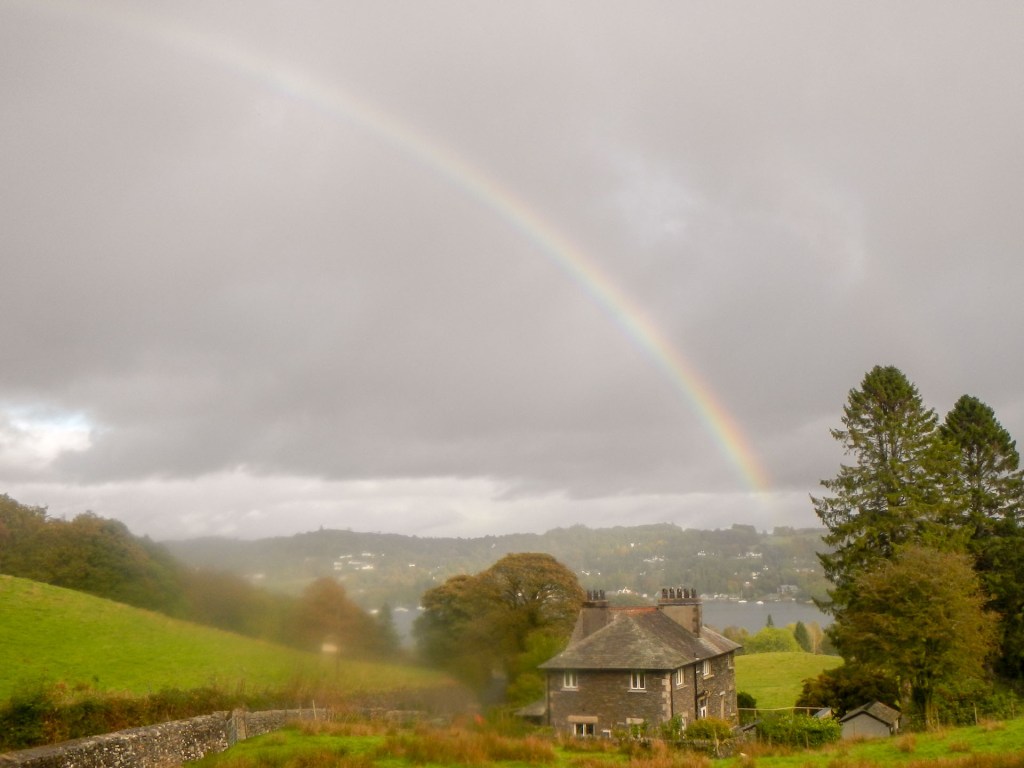
Further on the views opened up and we even saw a rainbow – of course that meant that rain was near, but fortunately turned out to be only a very light passing shower, and it was not even worth donning waterproofs.
We decided to head back towards Far Sawrey, in order to avoid what was said to be a particularly steep and treacherous descent of 110m in 300m of walking.
We caught the ferry back across the lake. Sadly the open top bus only ran to Ambleside in the late afternoon but we enjoyed a scenic top deck ride that far, before waiting a LONG time for a bus to Grasmere. It would almost have been quicker to walk from Ambleside!
This was a very different expedition from those on all our other days, but we had successfully avoided walking through the cloud that we could see over the mountains, almost missed the rain and discovered some delightfully rural paths and byways as well as taking the opportunity to use some interesting alternative forms of transport.
