13 and 14 October 2021
This wasn’t my first choice of adventure for this map. I had hoped to be able to incorporate a walk with a night at the remote Black Sail youth hostel, accessible by foot or bike only. However in line with Covid restrictions, they are only accepting whole hostel bookings for the foreseeable future. My second choice involved driving over to Wasdale and attempting a climb to Pillar, but that involved a very long and convoluted journey from Grasmere where we were staying. Hence this was my third choice, but my husband stressed that it was one of Wainwright’s top six Lake District walks – and how could Wainwright be wrong with his encyclopaedic knowledge of the entire area. The major parts of the route and the summits are actually on the eastern part of map 89 and also the western part of map 90 due to a substantial overlap between these two maps.
In any event, my husband had decided that, after two days of walking, he was having a rest day. The plan was that he would drop me off at the top end of the B5343 and then meet me after the walk further down the Langdale valley at the Dungeon Ghyll car park. However during the outward journey to Langdale, he commented that the car park was only five miles from Grasmere so I may as well walk back!
As I set off, along the farm track to Stool End, the mountains ahead were shrouded in cloud – sadly the forecast lift in the cloud base around midday didn’t happen.
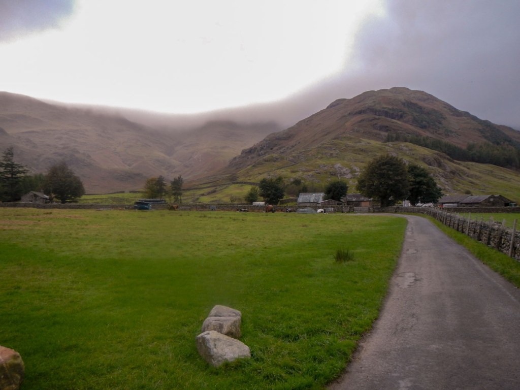
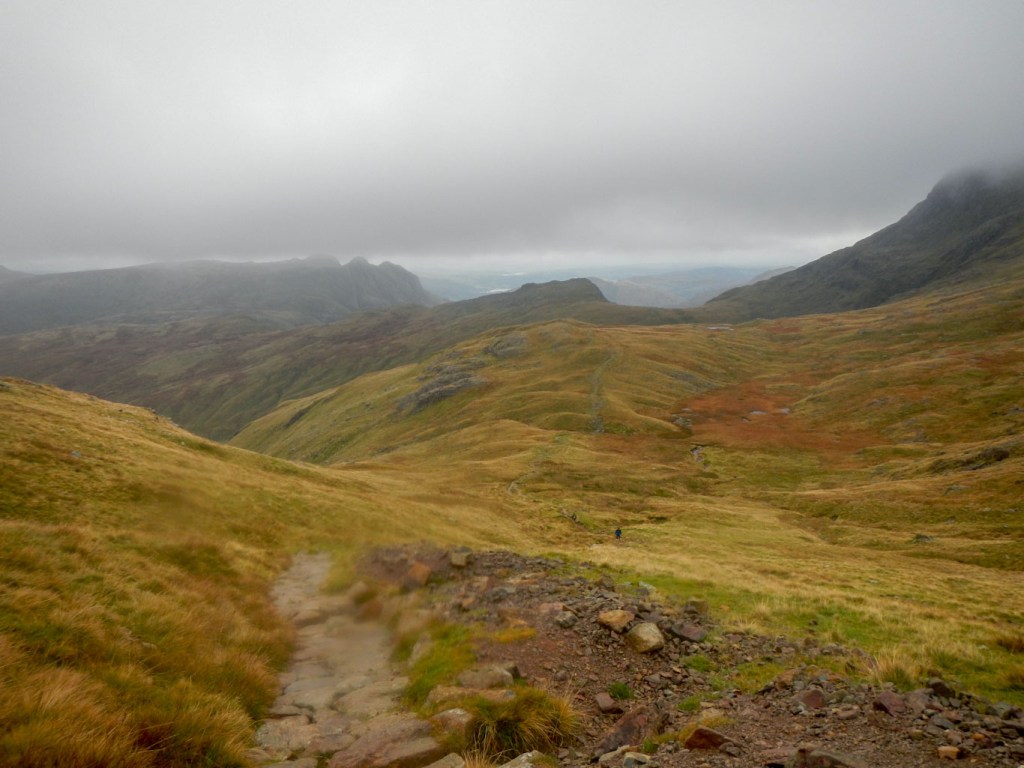
From Stool End, the ascent began in earnest up a path constructed largely of stepped stones so it was relatively easy going. By the time I was at Three Tarns, where apparently there are superb views on a clear day, I was well into the cloud. There was of course a lot of moisture in the air, but my exertions were keeping me warm and there was no real rainfall so I managed to leave my waterproofs in my rucksack all day.

The onward walk to the summit area became less well defined with some minor scrambling involved in places. Just as I was looking at the summit rock pile in the mist, another walker arrived and we climbed the last bit together. There was nothing to see from the summit – the promised extensive views of the Scafells, the Helvellyn Massif plus Glamara and Borrowdale were all hidden in the cloud. As this is potentially one of the finest viewpoints in the Lakes, the lack of a view was disappointing.
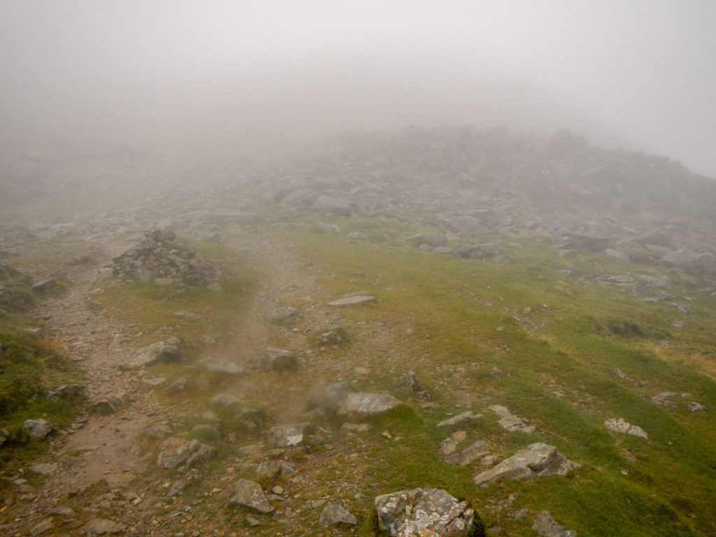
Approaching the summit 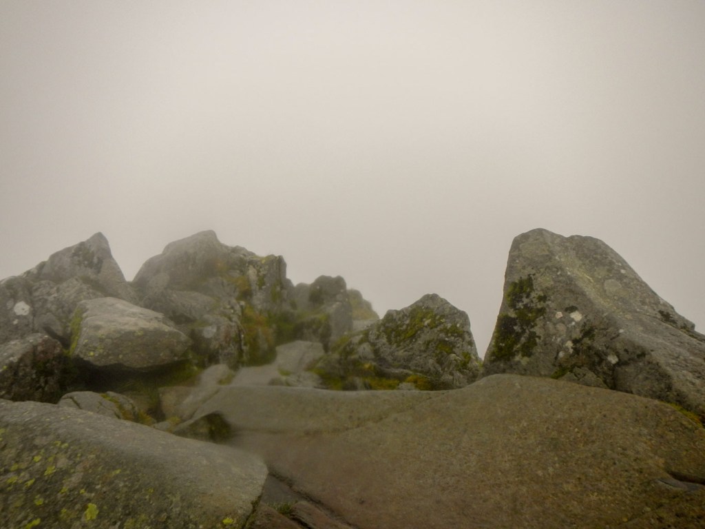
This was the summit!
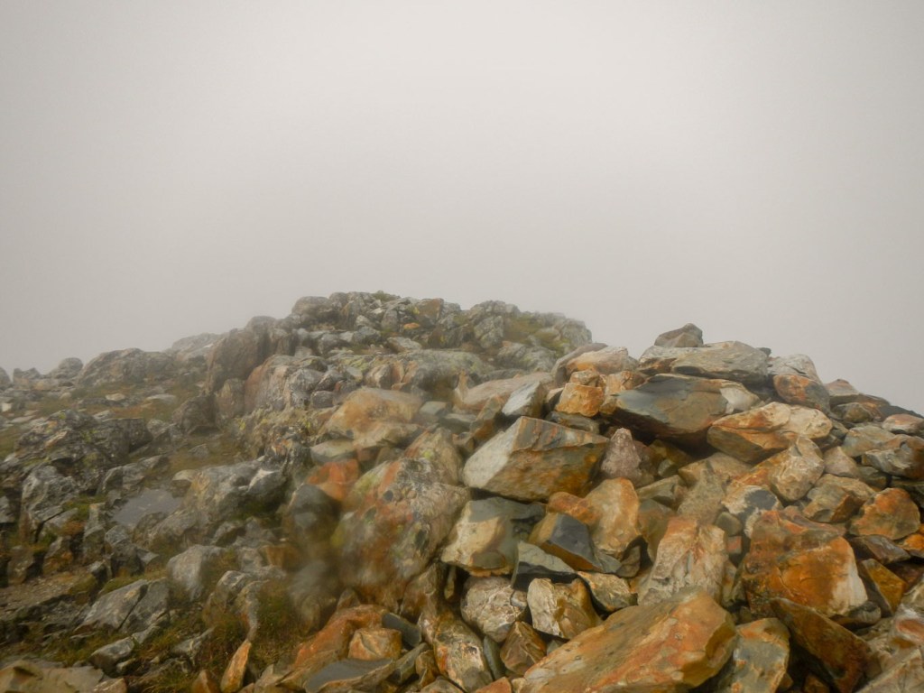
My fellow walker decided not to go on to attempt Esk Pike but planned to retrace her steps down the mountain. Meanwhile I tried to find something that resembled a path in the boulder field and headed north towards Ore Gap. The path was difficult to find and having found it was easy to stray off. A couple of hardy “fastpackers” walked and jogged past me. I reached the col at Ore Gap and, as I began to ascend, a solo walker appeared coming down the mountain. As I reached Esk Pike summit (another marvellous viewpoint in all directions but not today), a runner in shorts came past me and we were in the summit area at the same time.
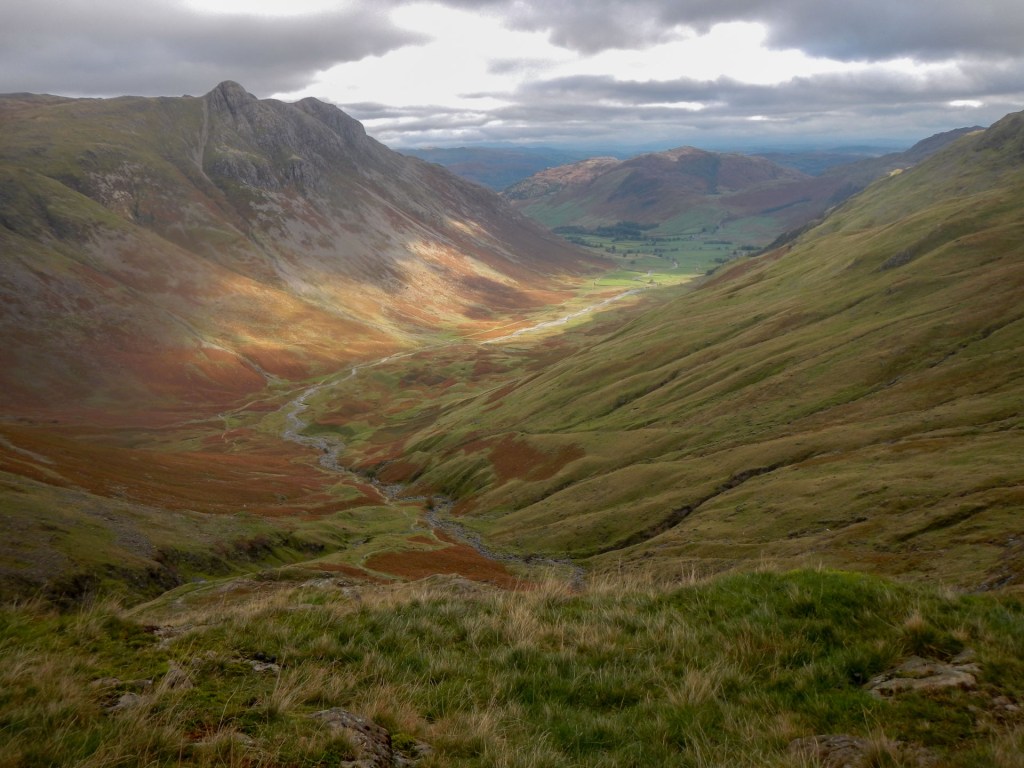
I descended slowly and carefully on wet rock towards Esk Hause. I was out of the cloud by the time I reached the col, where there were several walkers going in various directions. There were more walkers near the junction of paths next to an open wind shelter. A group had already occupied the one quadrant that was out of the wind, so I made my way down to Angle Tarn, where I found a sheltered spot to eat a late lunch and enjoy some views at lower level.
At last below cloud level 
Angle Tarn
A steep descent alongside Rossett Gill was eased by many sections of flagged and stepped path. At one stage, I almost glimpsed the summit of Bowfell emerging from the cloud but this was extremely transitory for no more than five minutes.
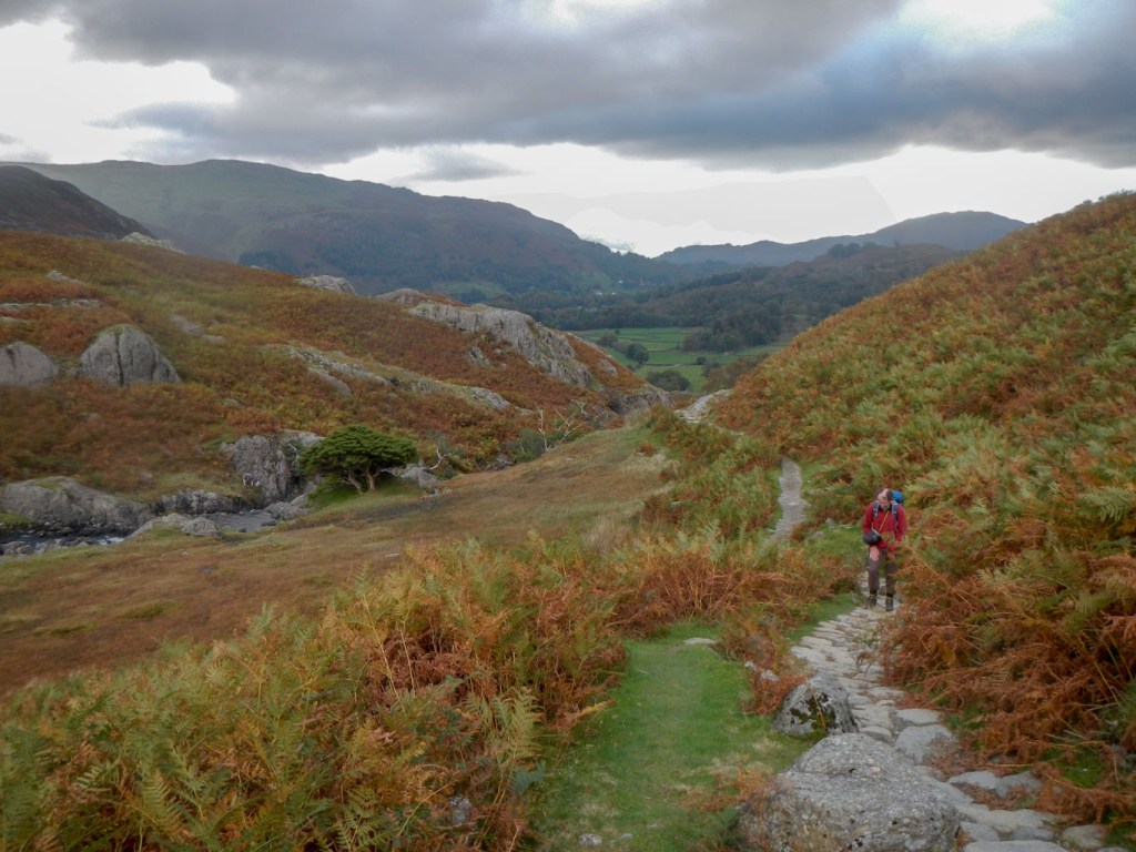
I was soon at the footbridge over Stake Gill and heading into Langdale on the Cumbria Way. Views of the lower Langdale Pikes were inviting and I was keen to climb them but it would have to wait (although, as things turned out, not for long). In the meantime the five mile trek back to Grasmere was eased by a pleasant off road alternative down Langdale all the way to Chapel Stile, from where I followed a very quiet road over the hill to Grasmere.
It was only the following day when we both attempted the Langdale Pikes (another map 89 / 90 adventure). We walked on the easy path from Grasmere up to Easedale Tarn. The route that we took on to Stickle Tarn was more difficult with a tricky upward scramble for which my legs only just stretched. We barely saw anyone all the way to Stickle Tarn. However once there, the route was relatively busy with many people walking up from Dungeon Ghyll area. There was further exposed scrambling up the path to the first summit of Pavey Ark from where we enjoyed a good view. However in the half hour that it took to walk from there to Harrison Stickle (the highest of the Langdale Pikes), the cloud level began to descend and the wind strengthened. We decided not to cross the open exposed ground to the lower Pike of Stickle but instead descended on the easier route from below Harrison Stickle to Stickle Tarn.
Walking up to Easedale Tarn 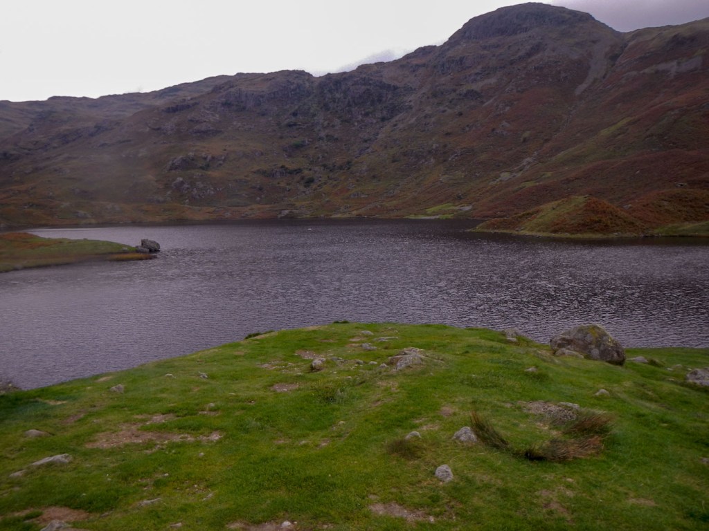
Easedale Tarn 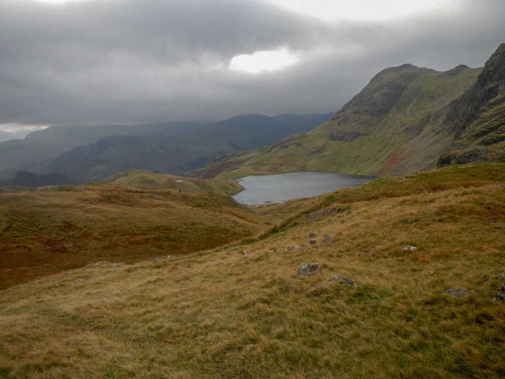
Stickle Tarn 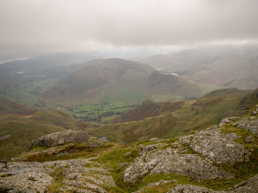
View from Pavey Ark summit 
Looking back to Pavey Ark 
Harrison Stickle – highest of the Langdale Pikes
Having reached Stickle Tarn, we were reluctant to retrace our steps from the morning given that there would be a difficult downward scramble. We followed Stickle Ghyll past several waterfalls and rapids, including an area where some children were learning techniques of canyoning (and apparently falling in the water to squeals of laughter from the other children). There were also many sheep.
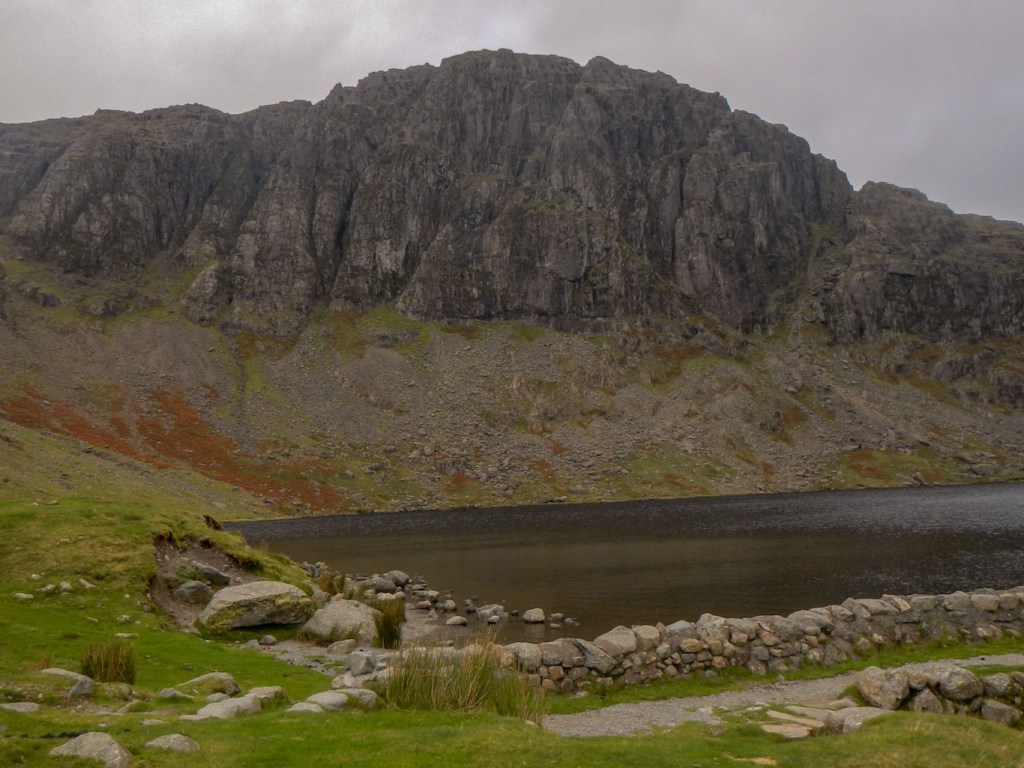
Looking towards Pavey Ark cliffs from Stickle Tarn 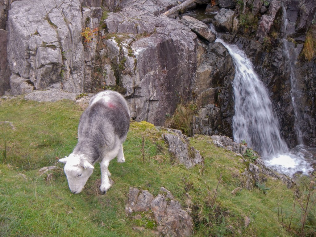
One of the many sheep near a waterfall on Stickle Ghyll
I reminded my husband that, from the car park, it was only five miles to walk back to Grasmere, as he had told me the previous day. Somehow, this was not enormously appreciated by him!
I had enjoyed two fine classic Lake District walks in two days. Despite the cloud, I was able to enjoy the exhilaration of reaching the summits. Breaks in the cloud revealed the possibility of fine views when the cloud base is higher.
