11 October 2021
The day dawned cloudy but bright and the forecast suggested some hope that the tops in the Coniston range would remain clear. The ascent up the road in the car from Coniston to the car park was steep and winding. However it meant that rather than starting near lakeside level at the village we had saved around 180m of ascent and were starting from around 220m. The first challenge was to pay to park. My credit card didn’t appear to be recognised by the machine, but eventually we managed to squirrel together the £8 all day parking fee in less than twenty-five coins as instructed. I was concerned about timing – we weren’t able to have breakfast at the hotel until 08.00 and we needed to be back there and ready for dinner by 19.00. Of course rushing to put on boots, gaiters and sort out my trekking poles and GPS all seemed to take longer just because I was in a hurry and I managed to drop my drinks bottle on the ground twice while I was getting ready. Going for a walk never seemed to be so complicated in the past – but as time goes on the number of accoutrements required appears to increase.
We set off on a well made path. In our enthusiasm to get going, we realised that we hadn’t taken the turning after just under a mile off the “tourist” path up Coniston Old Man so we had to back track a few metres prior to heading off towards Levers Water Beck, with its attractive rapids and waterfalls. We proceeded from the beck up Boulder Valley to Levers Water, crossing the outlet from the reservoir dam and following a less distinct path to the col at Swirl Hawse, where there were good views.
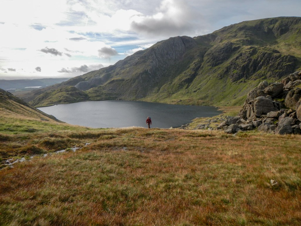
The views were even better from the top of Wetherlam, the first of our seven planned Wainwright summits for the day. There wasn’t really any concern over the time – still only about 11.20. Having become accustomed to less defined paths and longer distances in Scotland, it all seemed incredibly quick and easy. Of course the car park we had used did mean our walked ascent was decreased.

We began to see a few other walkers at this point, having been alone since leaving the car park. We retraced our steps to Swirl Hawse before climbing the exposed but broad Prison Band ridge to Swirl How. This appeared to be where various routes converge and was relatively busy. At 802m it is officially a metre lower than the more famous Old Man of Coniston – there are some people who believe it is higher.

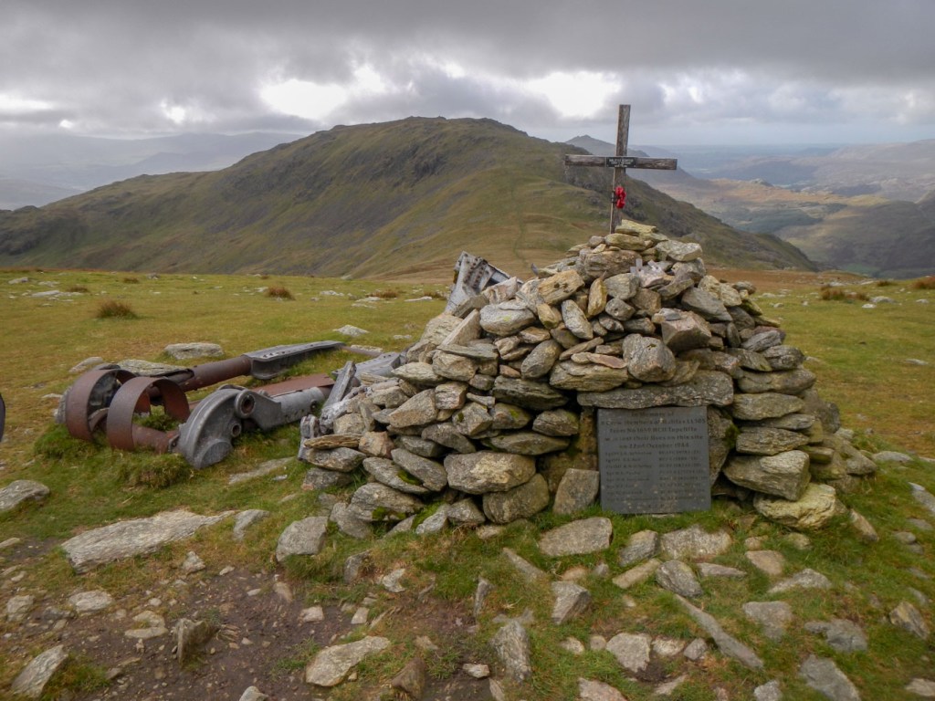
We headed off towards our third Wainwright peak, Great Carrs, noticing a cairn and some aircraft remains on the left. We detoured to look at this which was a memorial to the eight man crew of a Halifax bomber that crashed in fog on a training flight in 1944. Another walker, local to the area, was photographing the site and reflected on the young age of most of the crew of seven Canadians and one Scotsman. Six were in their late teens or early twenties, the pilot age 27 and the experienced navigator age 33. He also recounted a couple of stories about bits of wreckage being taken from the site and the people removing them receiving visitation from an apparition of the pilot.
We moved on to Great Carrs, looking at the view before walking towards Grey Friar. We located the contouring path towards The Old Man of Coniston ready for later in the walk, ate lunch in a sheltered spot some way below the summit of Grey Friar and then climbed to this our fourth Wainwright for the day. It was still only 13.30.
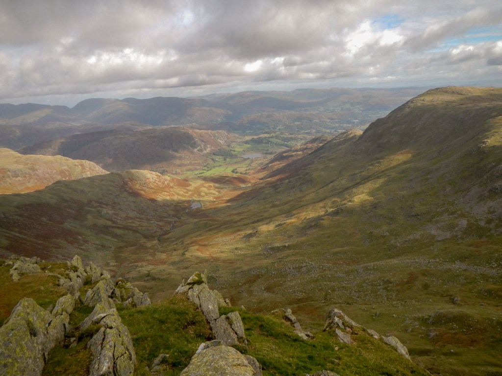
Great Carrs 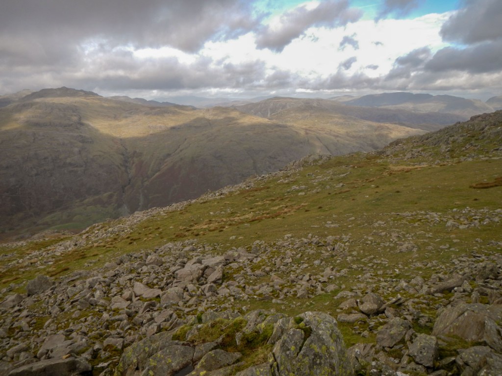
Grey Friar
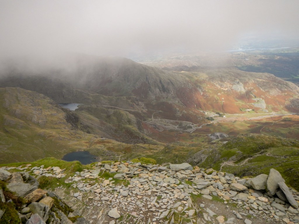
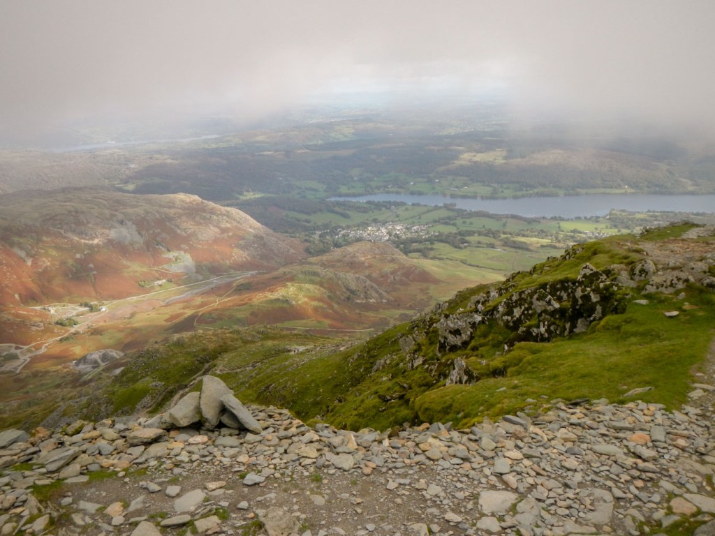
We discovered that the contouring path to The Old Man is delightful, including good views towards Dow Crag. In fact the path was so good that we stayed on it for a bit too long and ended up needing to climb straight up the hillside on to the ridge once we realised we were starting to descend towards Goats Hawse. Sadly at this point the cloud base lowered and we could see the summit of The Old Man ahead of us drifting in and out of visibility. Nonetheless, we were able to catch some views over Coniston Water before making our way to Goat’s Hawse. There were some excellent views of the ominous looking steep and deep gullies on the sheer east facing cliffs of Dow Crag.
My husband took the short cut past Goat’s Water, while I headed up to a now mist shrouded Dow Crag, taking care to keep well away from the cliff edge. I didn’t scramble up the rocks to stand on the very top but admired the crags from the base then went on past Buck Pike to Brown Pike. There were good views down some impressive looking steep gullies but sadly the mist obscured the promised impressive views to Blind Tarn.
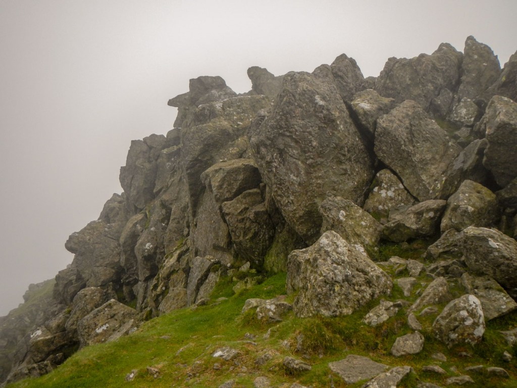
Top of Dow Crag 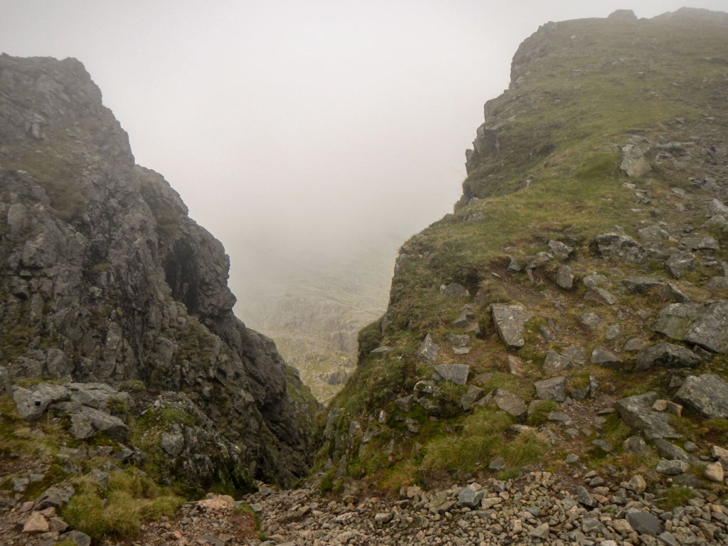
View down one of the gullies on Dow Crag 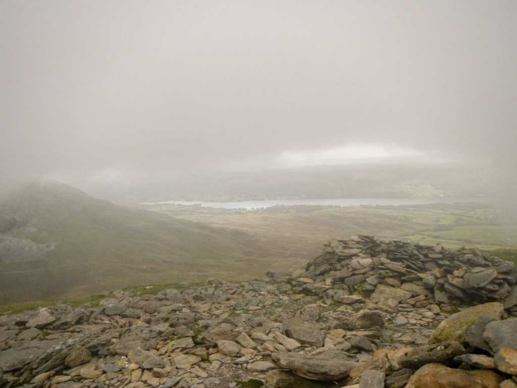
View from Brown Pike
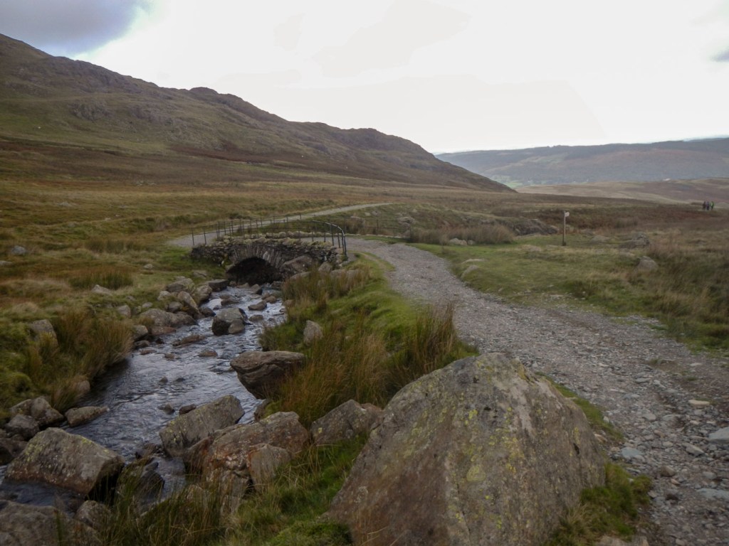
All that remained was a fairly easy descent along a good path on to the Walna Scar Road. Of course, it’s a gravel track rather than a metalled road but I was able to make reasonably rapid progress back to the car, arriving there only fifteen minutes after my husband – and before the ice cream van had left for the day.
Overall it had been a rewarding day out, with generally excellent weather. The walk is categorised as strenuous, but the generally good and well-graded paths mitigate this; it certainly seemed relatively easy compared with some of my recent walks in Scotland. The high start and finish point help to ensure wonderful views throughout the day, just so long as the cloud base is high enough.
