4-5 October 2021
It wasn’t an auspicious start to my few days in the Midlands. My senior railcard hadn’t arrived in the time promised by the railcard people so I was unexpectedly still travelling on full fare. My husband had suggested driving to Didcot with him and getting the train from there – but then just as we were ready to set off he discovered that his trip had to be cancelled. Hence I was left with an advance ticket from Didcot to Nuneaton that I had bought after the post had arrived on Saturday 2 October but still no railcard. Scenarios such as asking the way and being told “I wouldn’t start from there though” come to mind. With all accommodation bookings in place, I was reduced to paying a fortune to travel to Didcot to pick up my booked train unless I was to cut my losses and cancel the whole trip.
As I arrived in Nuneaton after my protracted and convoluted journey, it started pouring with rain. However, having booked in to my accommodation the weather improved so I decided to walk a nearby loop of the planned circle that afternoon. The forecast for the next day looked terrible!
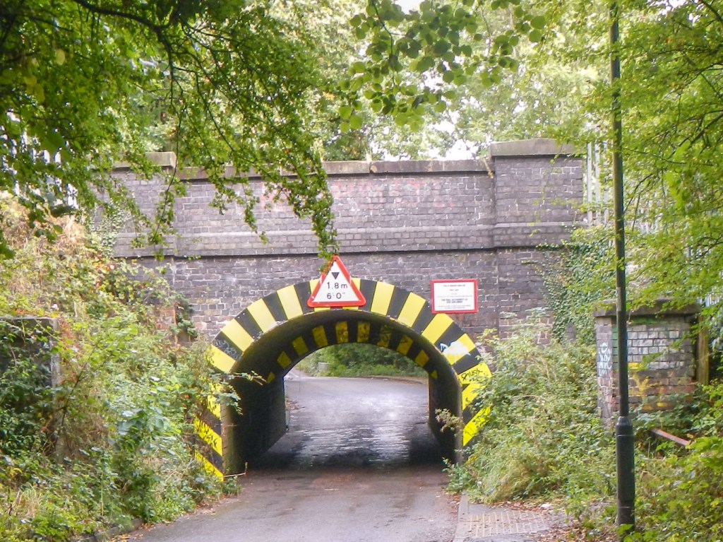
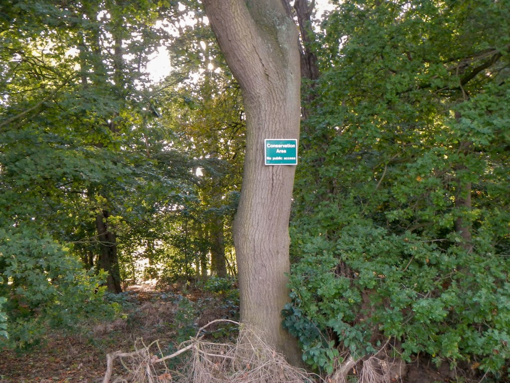
My route started from a busy road into the centre of Nuneaton down a private side road near a railway line. it was surprising how quickly I reached “green space” and there was even a woodland conservation area. A grey squirrel scurried across the path ahead of me.
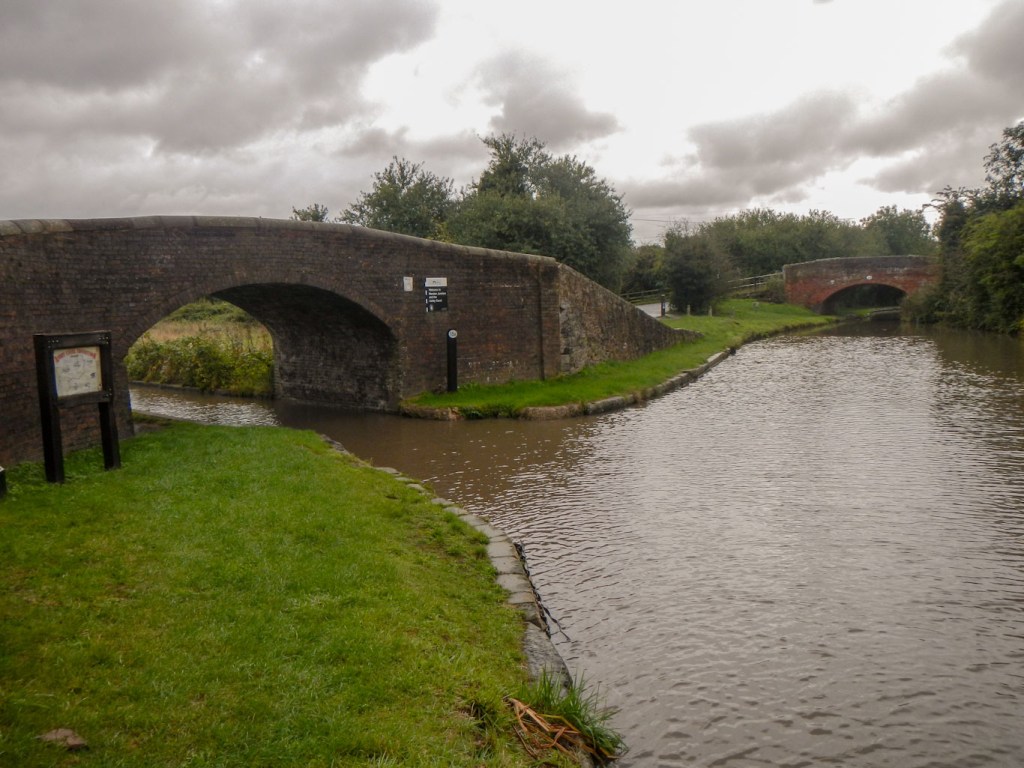
I enjoyed a pleasant walk through maize fields, past a riding stables and through some more woodland, before reaching a canal bridge with a nearby narrow boat marina. I walked on to another of Nuneaton’s many green spaces (Windmill Hill), before deciding to turn back and follow the Coventry canal which would give me a circular walk almost back to my start point.

The narrow boat marina 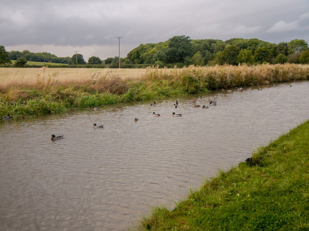
A haven for ducks 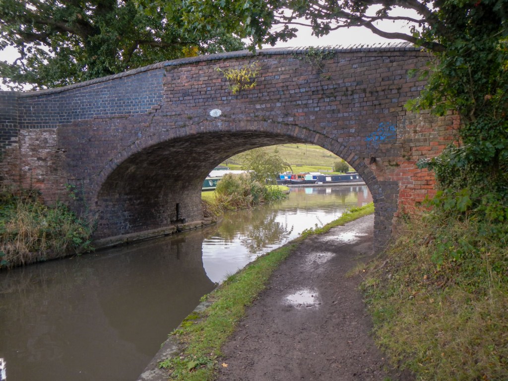
One of the many bridges
There were several berthed narrow boats and the smell of their wood burners was evocative of past days. There were even a few people fishing and lots of ducks. By the time I arrived back at my hotel, I had completed an easy five mile walk, which would reduce my distance the next day (although not by as much as five miles).
The weather forecast suggested that the rain would worsen as the day continued so I set off early at 07.15 soon after sunrise. First I had to walk up the road to the place I had reached on paths the previous day. I don’t think I had cut much off the distance, but the road made for initial rapid progress.
Actually I was fortunate – while much of the country was struggling with torrential rain, I only encountered a few short showers and a longer period of drizzle – nothing that my waterproofs couldn’t cope with easily!
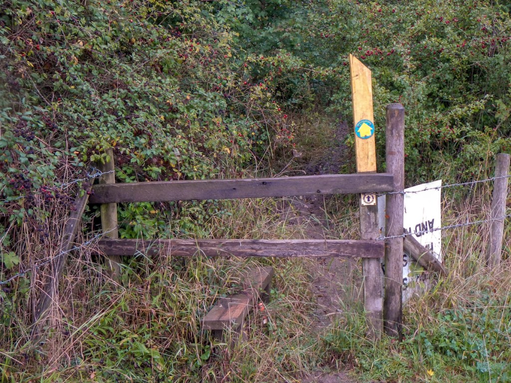
Overgrown but well signed path 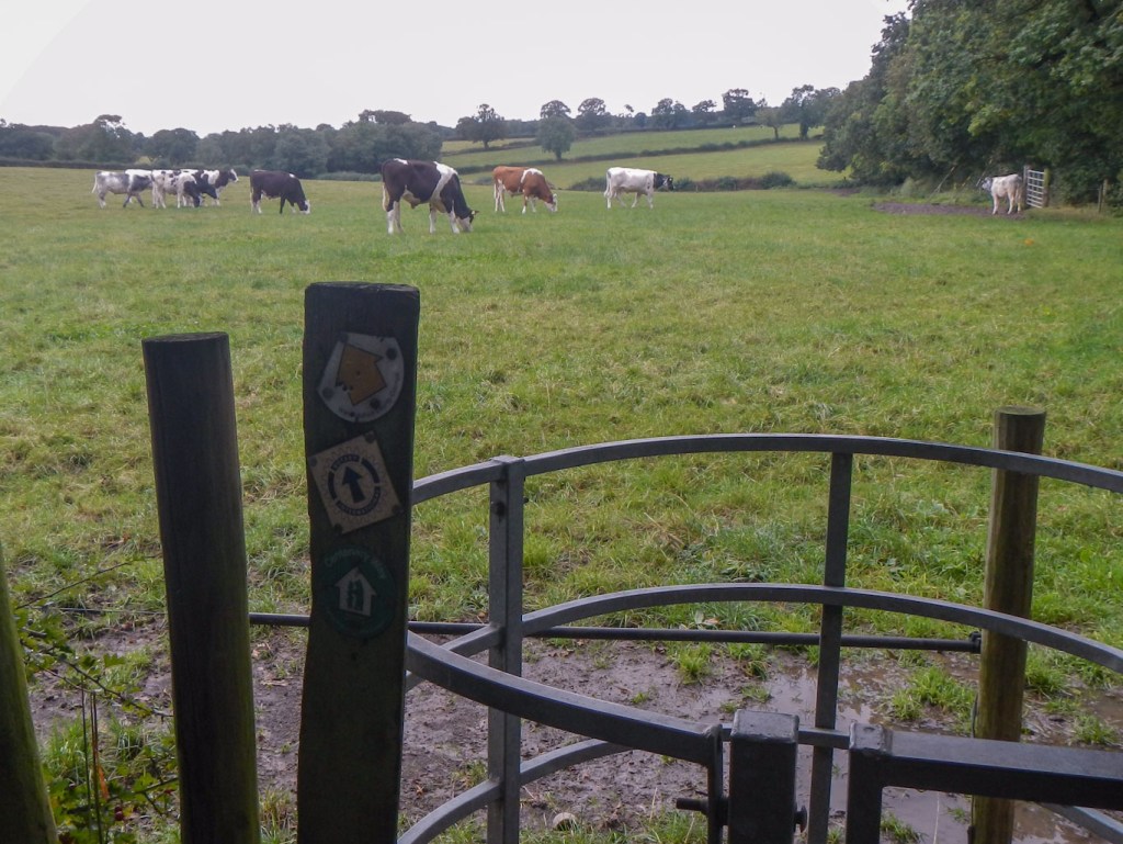
This path was best avoided past all the cattle with no easy escape
I ended up covering almost twenty five miles on a walk that had been put together very skilfully by the local Rotary Club. There were even Rotary waymarks in places – although often not where they would have been most useful. The walk certainly made good use of off road footpaths wherever possible. Unfortunately some of these had been re-aligned at least temporarily while the omnipresent new housing estates were being built and where a new link road was being constructed. There was only one place where the path seemed impassable due to bullocks on the route – and I decided to bypass them by following a road (which also added to the distance).
There was a big county park area near the castle, which led on to a commemorative wood – before I saw the sign, I wondered why there were quite so many benches in memory of local residents. The route followed a disused railway line, passed through areas of common land, more woods and large swathes of arable fields. It also made good use of various canal towpaths – another bit of the Coventry Canal, the Ashby Canal and a couple of stretches along the Ashby De La Zouch Canal, noting that where there are canals there are usually train lines nearby. Both have one of their purposes to transport freight across the country and both work best without going up and down hills so I guess it is logical that the train tracks were often built along similar routes to the canals. I passed through the picturesque village of Higham on the Hill. I was sure I could hear loud engine noises but couldn’t see where they were coming from and discovered afterwards that I had passed near one of the largest transport proving grounds in UK.
Canal junction – the network is complex 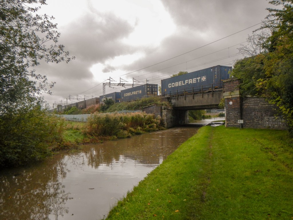
Rail freight – previously canals were used to transport freight 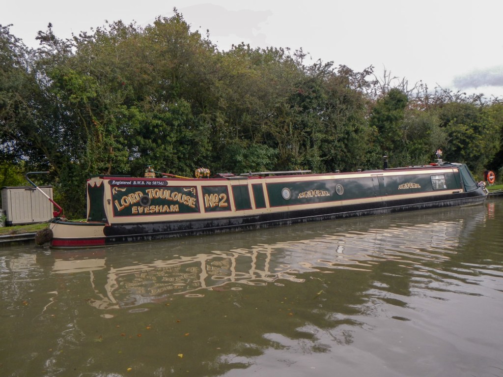
Many ornate boats – this one caught my eye as I previously lived in Evesham 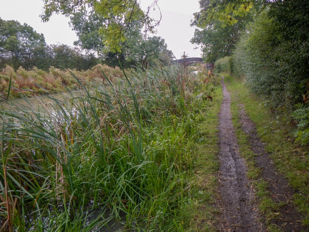
The canals are a precious wildlife habitat
Soon I was back in Weddington Park and almost at the starting point of my large circuit around Nuneaton. When I reported to my husband about what I had seen he stated “typical semi-rural Midlands”, betraying his origins. I guess I could have found similar routes around many Midlands towns. Certainly I discovered a complex network of footpaths and plenty of interesting nooks and crannies to explore.