30 August 2021
It’s the end of August and I realise that I haven’t walked on Dartmoor since early May, mainly because I’ve spent so much time this summer walking in Scotland. It’s sad to ignore what’s more or less on the doorstep so I decided to go up to Dartmoor today. I wanted to visit some tors on the north east moor. I thought that this area wouldn’t be crowded – and I was correct.
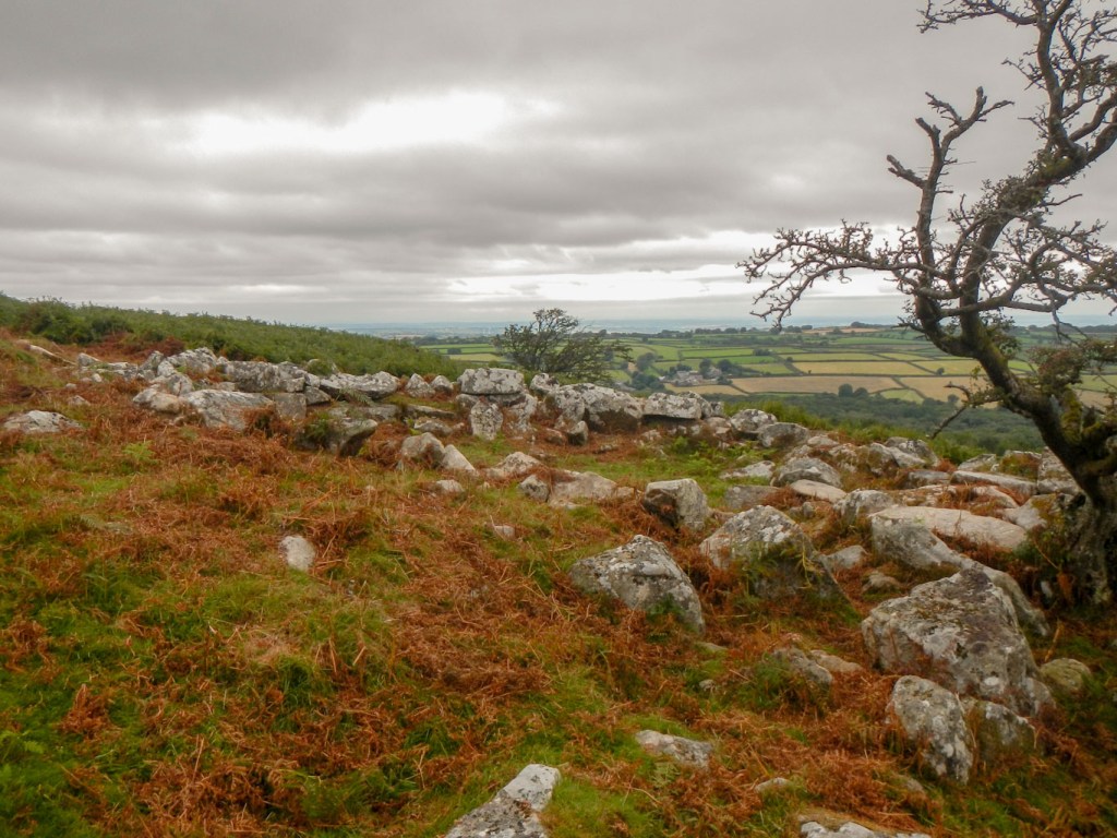
I parked in South Zeal village car park at about 08.30am, heading south over the fine viewpoint of Ramsley Hill. After admiring the view towards Cosdon, I made for the minor road that’s part of the Dartmoor Way. There were loads of ripe, juicy blackberries in the hedgerows. I headed past a popular looking pop-up campsite near Moor Farm but soon left the road, passing a few hut circles before reaching Shilstone Tor.
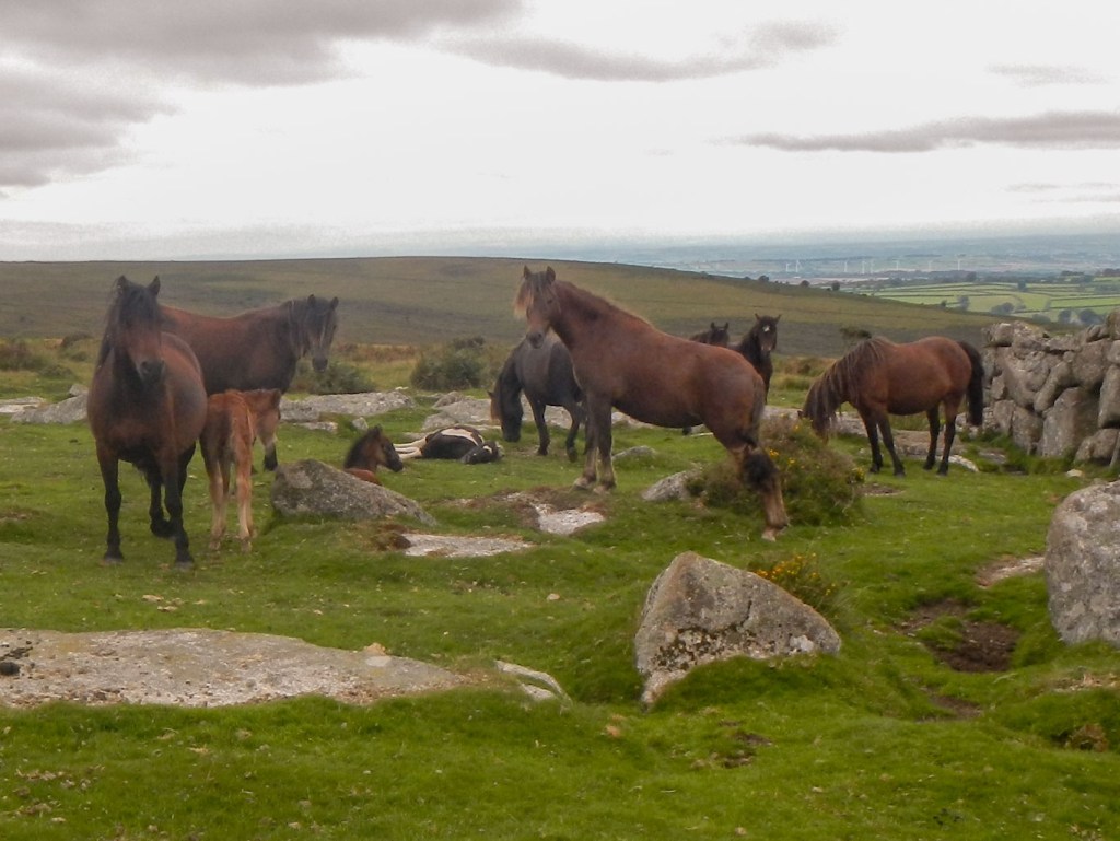
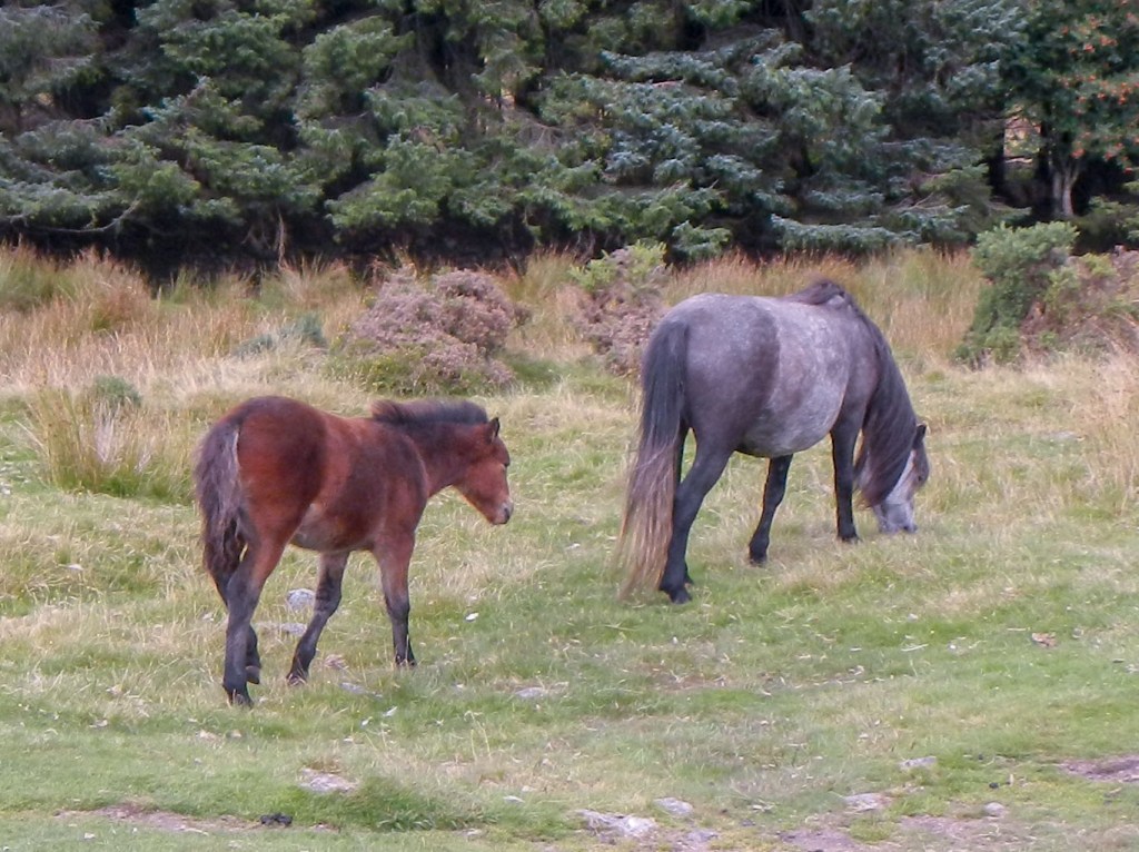
From Shlistone I stayed on the moor, passing a group of ponies with foals and was soon at Buttern Hill. Actually that doesn’t quite tell the whole story – I also found myself in the middle of a gorse bush crossing a stream that was hidden by long grass and reeds….
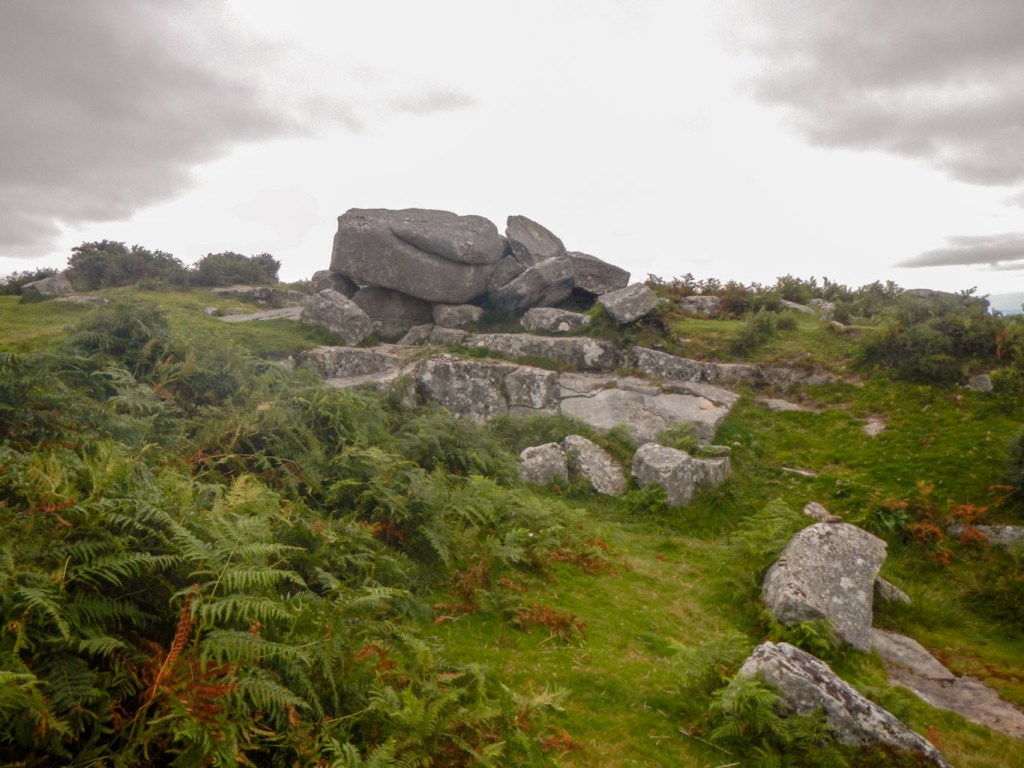
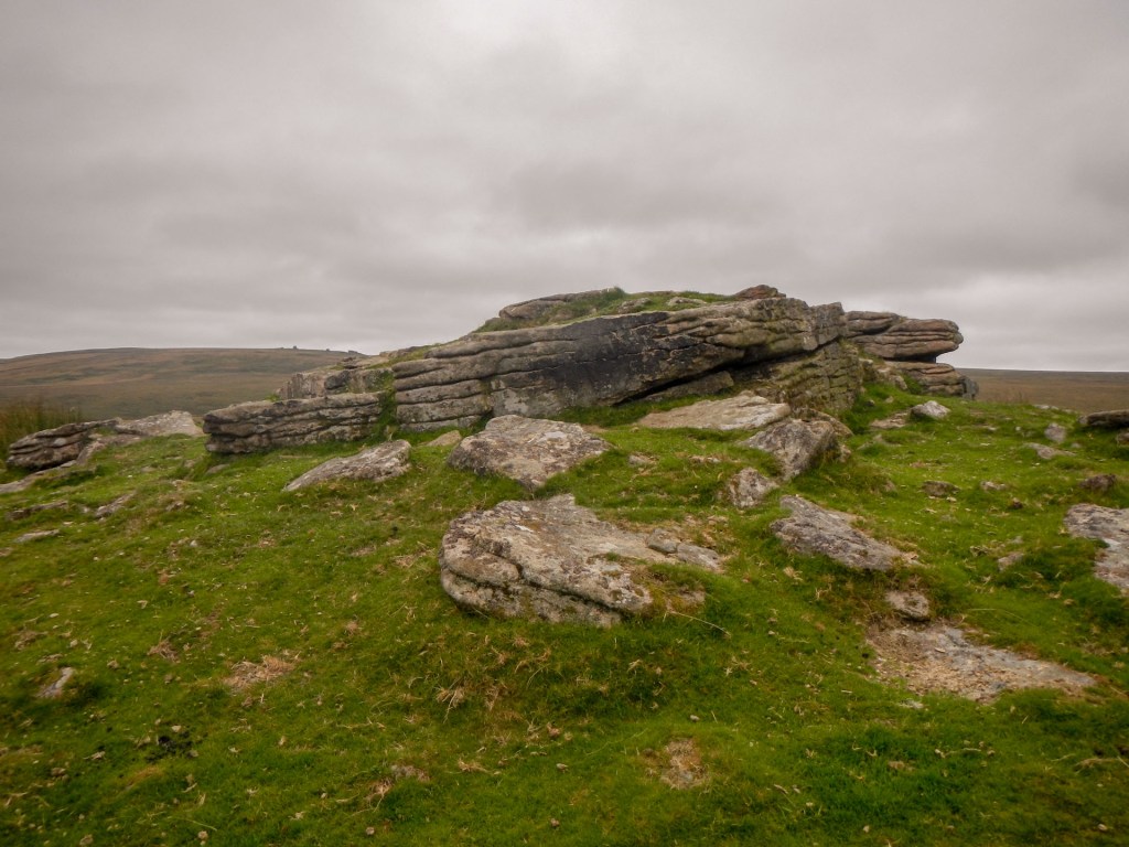
From Buttern Hill I made my way downhill on various animal tracks to a stone circle. Fortunately for me several groups of cattle I saw weren’t too near my planned route. From the stone circle I could see Rival Tor and was soon there. There was a far ranging view including over to Watern Tor.
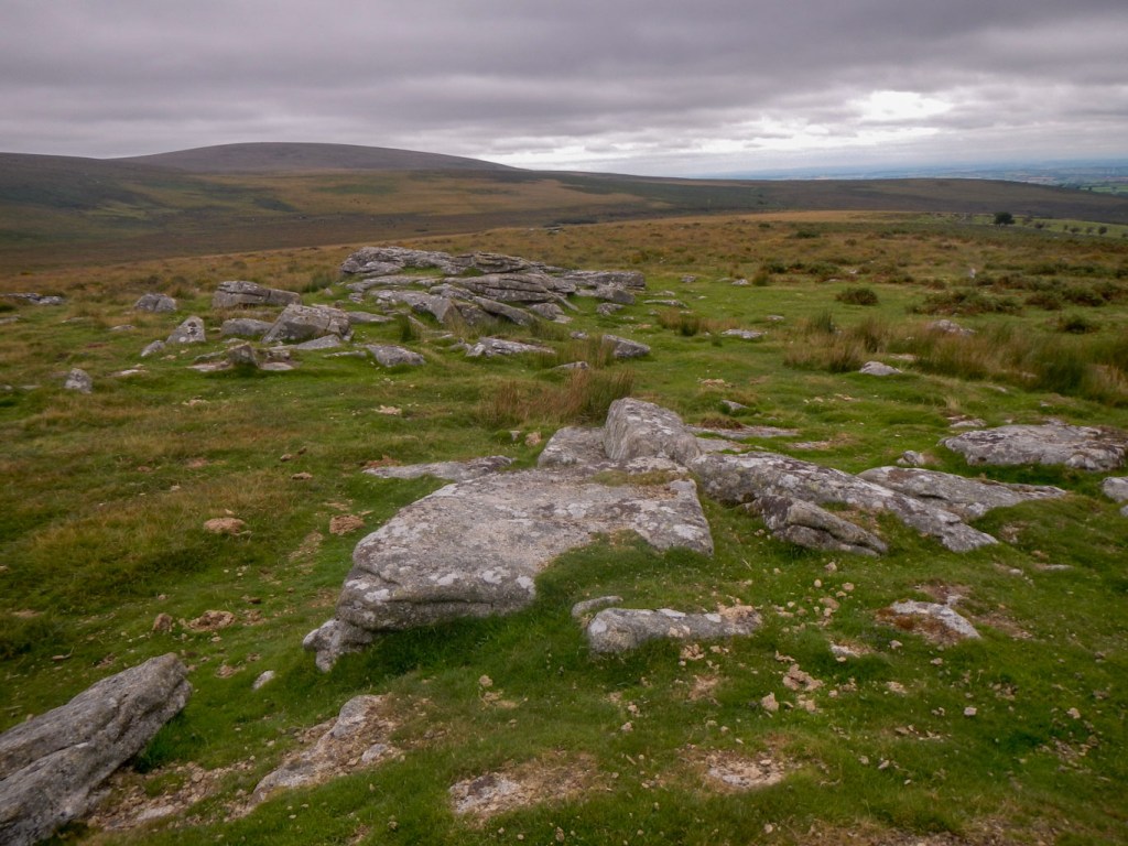
I started to head south towards the North Teign River and my next objective at Stonetor Hill. However I soon realised that it was going to be almost impossible to go directly across the boggy and pathless moor with many stream beds traversing it. I set off and almost immediately managed to put my foot into a deep hidden water channel, fortunately just resulting in a wet foot and not an injury. At that point I looked behind me and saw how close I still was to Rival Tor. The profuse and luxuriant vegetation hid any ditches and made it difficult and risky to proceed further. Instead I deviated to what I hoped was a path all the way to Watern Tor. Sadly not and it degenerated to “nothing” very quickly. By then I had reached Walla Brook and made slow but steady progress climbing close to the stream. I crossed the brook when I was able and made my way up more tussocky and uneven ground covered with thick vegetation. It certainly wasn’t a route up Watern Tor that I would recommend to anyone else or choose to repeat.
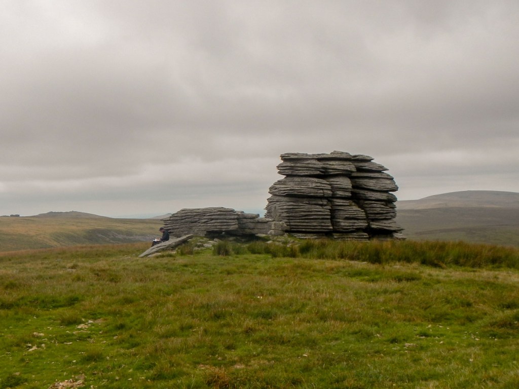
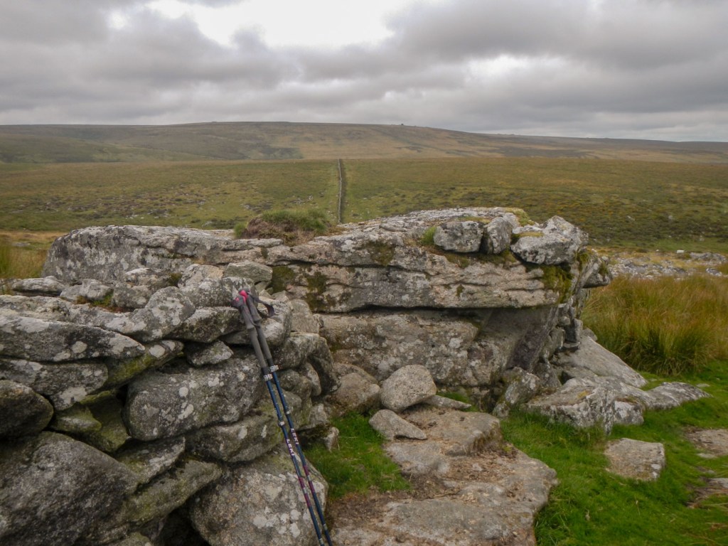
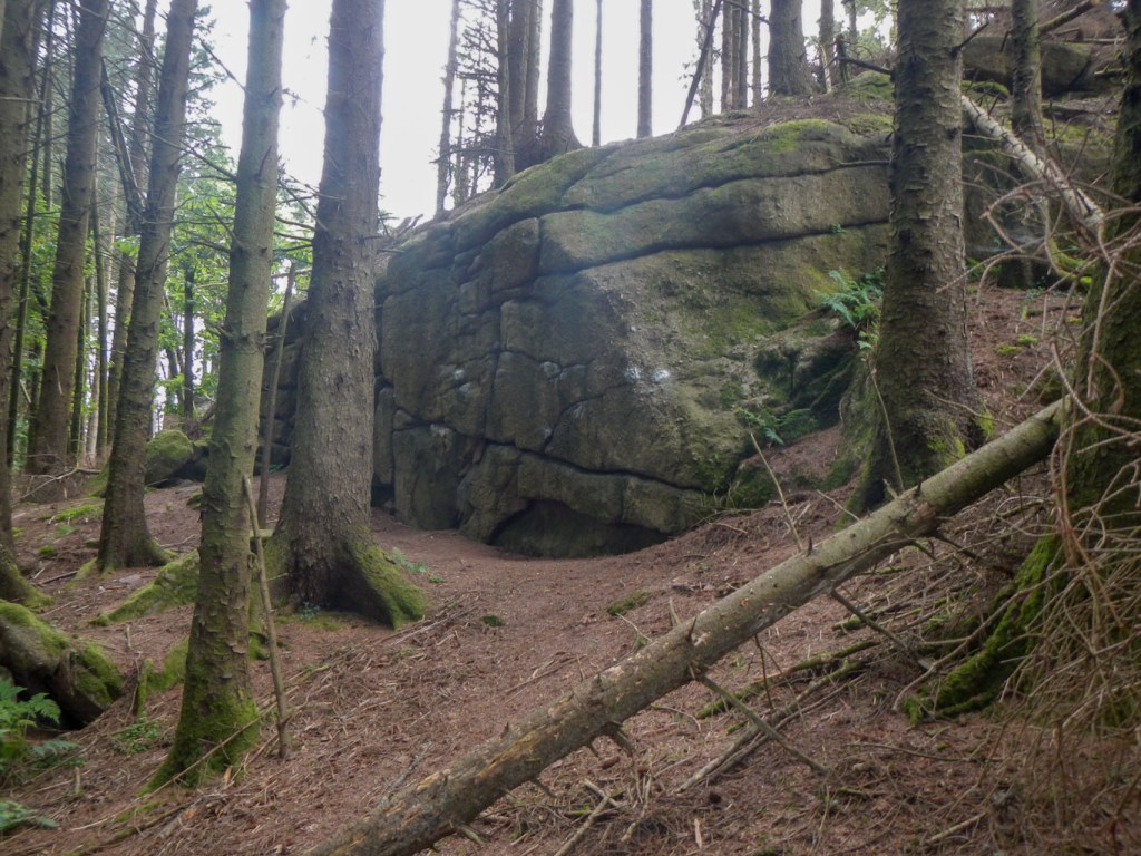
As I approached the tor, a solitary walker came in the opposite direction and there was a further walker sitting eating lunch and perusing his map at the top. I didn’t stop but looked for the path down towards Hugh Lake Foot as I knew that I could cross the North Teign River at that point. Unfortunately when I reached the area there were lots of cows there too. The current relatively low water levels meant that I was able to get across just up stream of where I had planned to cross and climb out of the valley to Stonetor Hill. I sat on the tor, which was incorporated into a stone wall, to eat lunch.
I had really had my fill of crossing pathless terrain so after lunch I made my way on a path down to Batworthy Corner, passing a few ponies including one with a foal, then on to the quiet lane.
I turned off on to the footpath through Gidleigh Park. After I had crossed the river on the footbridge, I saw what appeared to be a large tor just off the path. I climbed up to explore it, wondering why it hadn’t appeared on my list. After I got home, I checked on https://www.torsofdartmoor.co.uk/index.php and discovered that this was Lower Gidleigh (North Park) Tor – on private ground but accessible. It isn’t on the LDWA list despite being huge. The one on the LDWA list was Gidleigh Tor which is further west than I had ventured (on open land). I hadn’t listed it to visit because of it being on private land and I hadn’t sought permission. There is also a third tor on the land in this area – Gidleigh Bottom Tor.
I walked through Gidleigh village, where I was distracted by some signs advertising a craft exhibition and also cream teas on Sundays. I also said hello to a very cheerful lady who was walking her dog. With all this I realised I had missed turning off on to a byway. Actually it was about the same distance to follow the extremely quiet narrow lane I was walking along. A very old man was walking slowly towards me in Chapple. As we passed he told me he was training for the London Marathon! Unfortunately apart from keeping up the pretence and wishing him luck, I was unable to converse any more as a car was heading towards us. I think it was the only car I saw on that lane so a pity it came just when we were starting to make a conversation as we passed in opposite directions..
I didn’t miss the turn for the byway near Forder. Some friendly motorcyclists had stopped at the end of it to talk and asked whether that was the route I was looking for – by the look of the wheel tracks, they had just ridden it. My route almost bypassed Throwleigh, just heading through the churchyard. I didn’t see anyone but noted that there’s a toilet open for all visitors at the base of the tower. I was impressed as well by the excellent signage of the route near the village – a much better way to ensure walkers don’t inadvertently walk over private land than blocking stiles and making it as difficult as possible to get through. It might put some people off by blocking off paths but if walkers have trekked miles to get to that point then they of course need to find a way through and won’t be likely to turn back.
Soon I was on a quiet lane again and passed the place where I had seen the pop-up campsite in the morning. All the tents had gone so perhaps it had just been there for the Bank Holiday. The farmer and his dog were working in the field, probably tidying it all.
I picked a few juicy, succulent although sharp tasting blackberries to eat as I strolled back to retrieve my car from the car park in South Zeal.
I had added four more tors / hills to my “bagging” total so now on a hundred and ninety one. One was on private land without consent so I have ten more to do before I get to the legal magic two hundred. Despite my Satmap saying I had only walked twenty-six kilometres, I was exhausted but the first half of my walk involved a lot of energy-sapping pathless terrain with extremely thick and lush vegetation on very uneven ground.
