8-10 May 2021
This was the adventure that almost didn’t start. I woke nice and early on Saturday morning and relaxed over eating breakfast. My train ticket to Ivybridge was already bought and my husband had agreed to drive me to Exeter St David’s to catch the 07:25 train. It can’t have been long before 06:30 that he took a look at his train app to see that the 07:25 was cancelled due to engine maintenance requirements. I thought that the next train at 09:27 would mean a start that was too delayed so we agreed to rush off for the 06:53 – which I managed to catch! As it happens, just about every other GWR train that day was changed or cancelled as a problem with cracks in the chassis had been discovered, grounding the entire fleet of one type of train.
The train was so empty when I got on that I wasn’t sure whether it was actually running or just about to go off to a siding. Fortunately it was the former. There were absolutely no social distancing issues at that time on a Saturday morning.
At Ivybridge it was pouring with rain so once off the train I donned all my waterproofs and used the waterproof rucksack cover. Once off the road and on the open moor, it was not only raining, but there was minimal visibility and strong gusting winds.
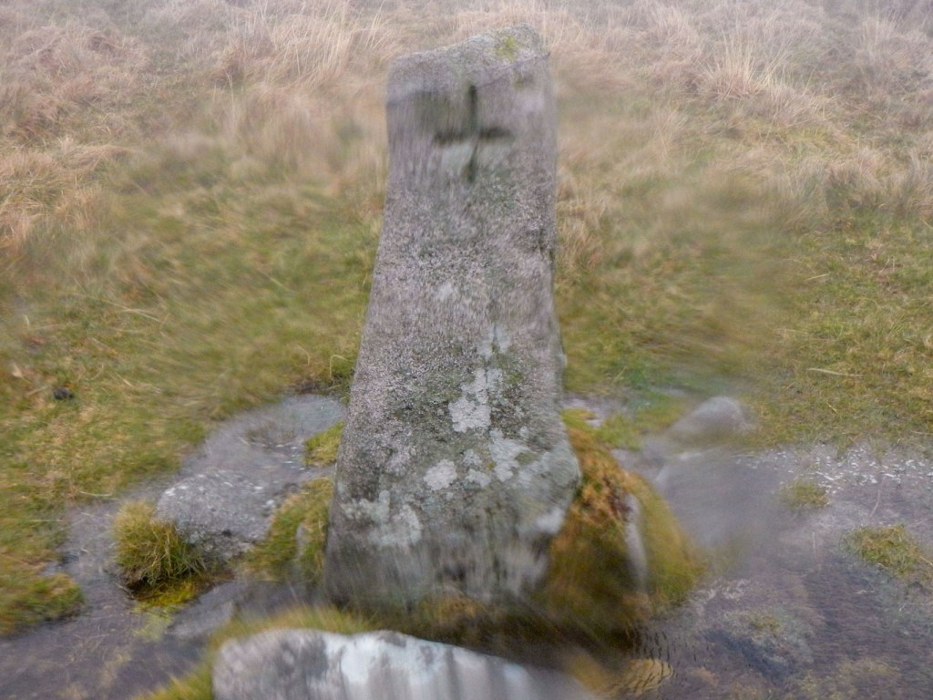
Fortunately I had my SatMap device to help with navigation – it’s fully waterproof and certainly needed to be. Western Beacon was easy to find as it just meant going up until there was no more up hill left. Of course there was no view from the top (a pointless exercise according to my husband!).
From Western Beacon, I headed due north passing boundary stones, to reach the trig point on Butterdon Hill. This wasn’t a tor to “bag” so I headed off towards Creber’s Rock to the east, failing to find it. I felt a bit dispirited (and wet) so early in the day, even considering going back to Ivybridge to catch the next train home. However Beacon Rocks on Ugborough Beacon were easy to find, making me feel more positive, then there was a path of sorts (not on the map) heading roughly the right way for my next tor at Hangershell. I even saw another walker!
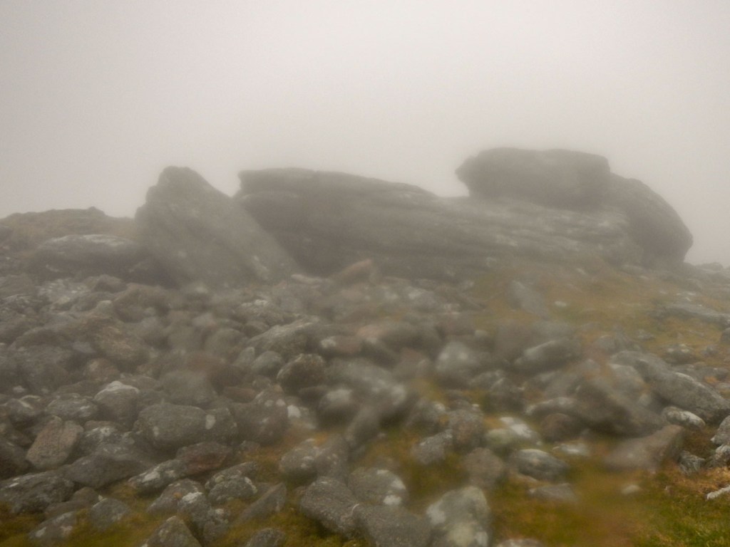
Ugborough Beacon 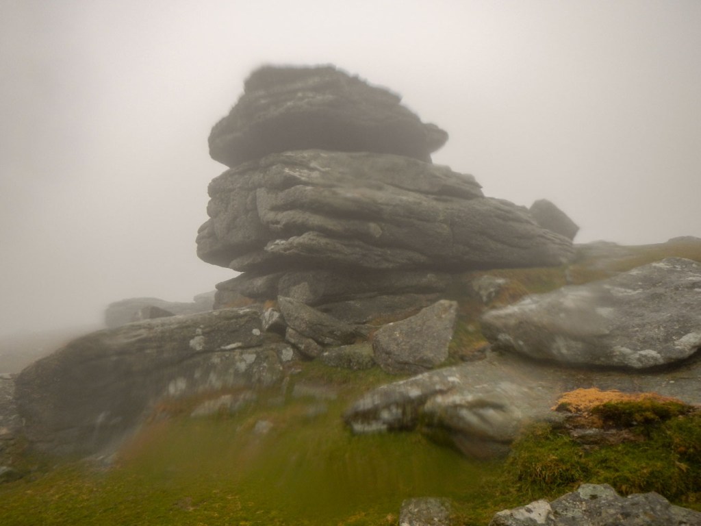
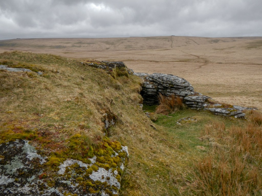
Hangershell Rock
I was pleased to proceed on and find Tor Rocks easily but then came to a gate marked “Private”. I turned to find another way and appeared to “freak” a grey Dartmoor pony, but fortunately it chose to run away rather than towards me. I found a signed path. With difficulty I squeezed through a high kissing gate, before realising I had turned the wrong way so had to squeeze back the other way. The path went through a field, where it was disconcerting that an enormous flock of sheep charged towards me baaing raucously. It was scary and not something that’s happened to me previously. I was definitely on a path. Anyway I emerged on the other side of the field, none the worse. At least it wasn’t cows, but now I had been scared by a pony and by sheep in rapid succession!

Arriving at Harford, I spotted two walkers with large rucksacks heading up towards Harford Moor Gate. However I had left the moor here to go initially the opposite way to the narrow Harford bridge then turn on to a moorland access path following the turbulent River Erme up stream. I was almost deterred by the notice on the gate warning of two herds of cattle with two bulls or sheep. Let’s hope it’s sheep, although as I had discovered even they can be scary en masse. Tristis Rock turned out to be easily found and I saw no cows, sheep or even their faeces so I was glad I hadn’t turned back.
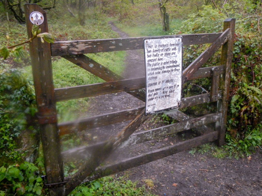
A forbidding sign 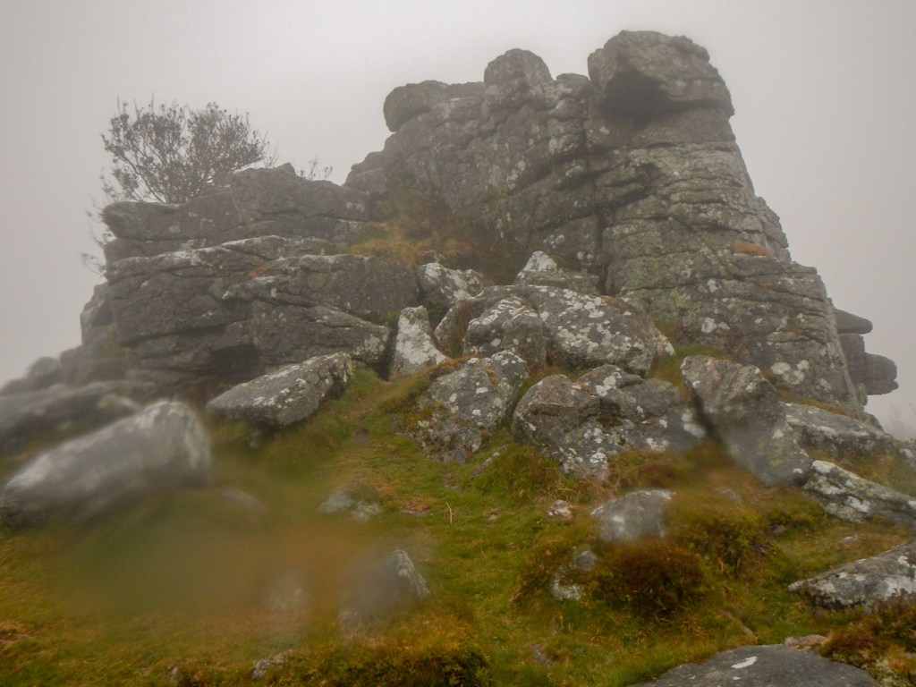
Tristis Rock
This was a diversion off my route, specifically to “bag” the rocks. I returned to Harford but this time I climbed the hill on the unclassified road where I had spotted the backs of the two walkers earlier on. Reaching Harford Moor Gate, the car park, as advised by signs in the village, was closed. Notwithstanding, I heard a loud engine noise and four motor cyclists appeared out of the fog from the moor. They were friendly, warning me that conditions higher were “zero” visibility and advised me to be careful if I was going up. I’m sure motor bikes aren’t allowed, but nonetheless they were a good natured bunch.
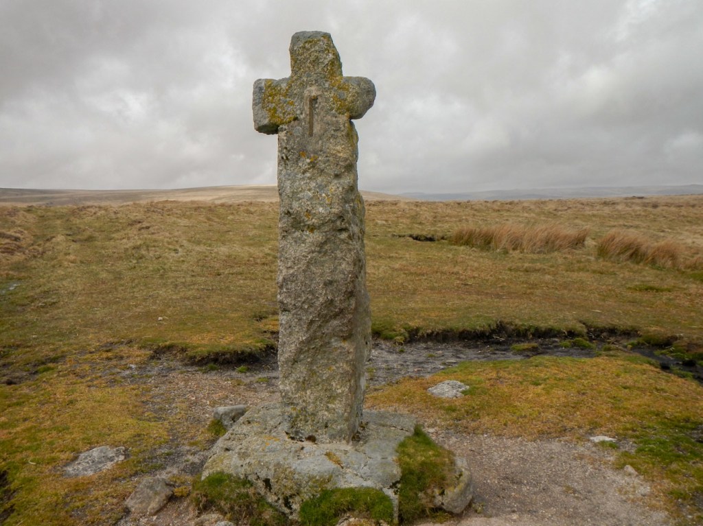
I was still half considering “bagging” Sharp Tor then heading south along the disused tramway and catching a train back to Exeter. Of course I didn’t know that the trains weren’t running. However, part of the point of the exercise had been to trial my tent in the rain. There was not only poor visibility but driving rain and wind. My morale increased as I discovered Hobajon’s Cross (inscribed stone cross) completely by accident and then come across two standing stones on Piles Hill.
Hobajon’s Cross 
Piles Hill standing stones
Sharp Tor eventually loomed out of the mist and it wasn’t far from there to Three Barrows, complete with trig point on the other side of the disused tramway.

Sharp Tor 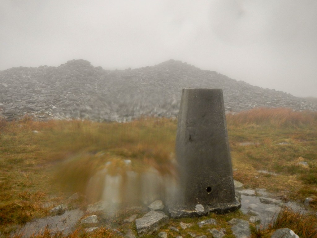
Three Barrows
After that, with cold rain beating on my face, I decided not to try to find Zeal Tor, but instead to take the apparently easy route following the Two Moors Way to the Avon clapper bridge where I planned to camp on this side of the river. It would mean a fairly early camp but the conditions were atrocious. The disused tram way was easy to follow, but for much of its length had morphed into a sizeable and flowing stream occupying the entire width of the track. I admit that I had to check my SatMap to make sure I hadn’t turned off the track to follow a stream bed. Once off the tramway, it was even more difficult and I struggled to distinguish the path from all the rivulets running down the hill. Normally the clapper bridge would have been an easily visible target point.
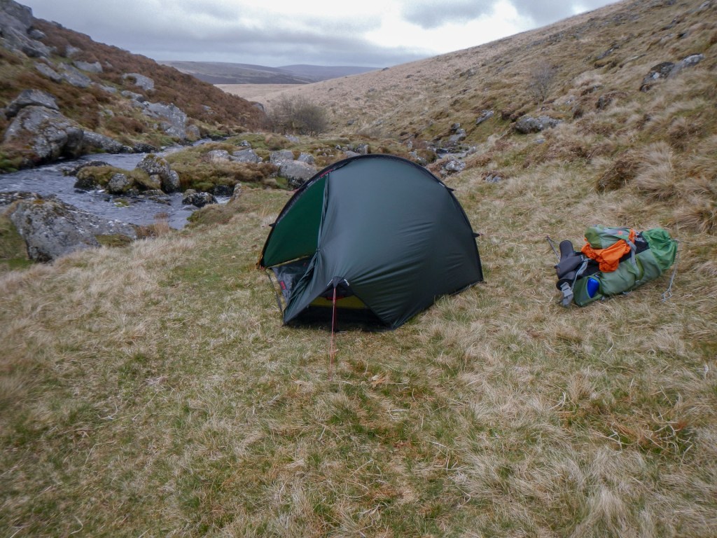
Eventually, I arrived at the clapper bridge, spotting a relatively dry piece of flattish grass near the bridge. Something glistened on the ground and I retrieved a nice lightweight tent peg, presumably left in error by a previous camper. I kept it as I doubted they would return for it. The thought that this was clearly not a “virgin” site led me to explore just down river and indeed I found a good spot, far enough away from the river to avoid flooding. I hoped that the water level wouldn’t rise further overnight as water was already reaching the clapper bridge walk way. However camping isn’t permitted on Huntingdon Warren across the bridge so I didn’t want to cross this afternoon. Worse case scenario, I could walk down and cross the river over the bridge below the Avon Dam the next day.
My new tent is just so easy to put up hence in very little time I was boiling water ready for my instant soup, rehydrated extreme energy meal and coffee. A temporary lull in precipitation meant I ate outside my tent, before retreating inside to start reading a fascinating book “Coastlines” by Patrick Barkham. I’ve already enjoyed reading his “Islander” book and this offering did not disappoint me. It’s not a guidebook but is a masterly narrative based on stretches of coastline owned by the National Trust and is fuelling my imagination with thoughts for future adventures. There was no internet or phone signal, so a relaxed read and a look at the map for the next day were my sole entertainments.
It rained a lot in the night. However I kept dry and in the morning it wasn’t raining. The early mist cleared quickly. I spotted a runner crossing the clapper bridge in the distance. That boded well for my later planned crossing.

Clapper bridge and the Avon in spate 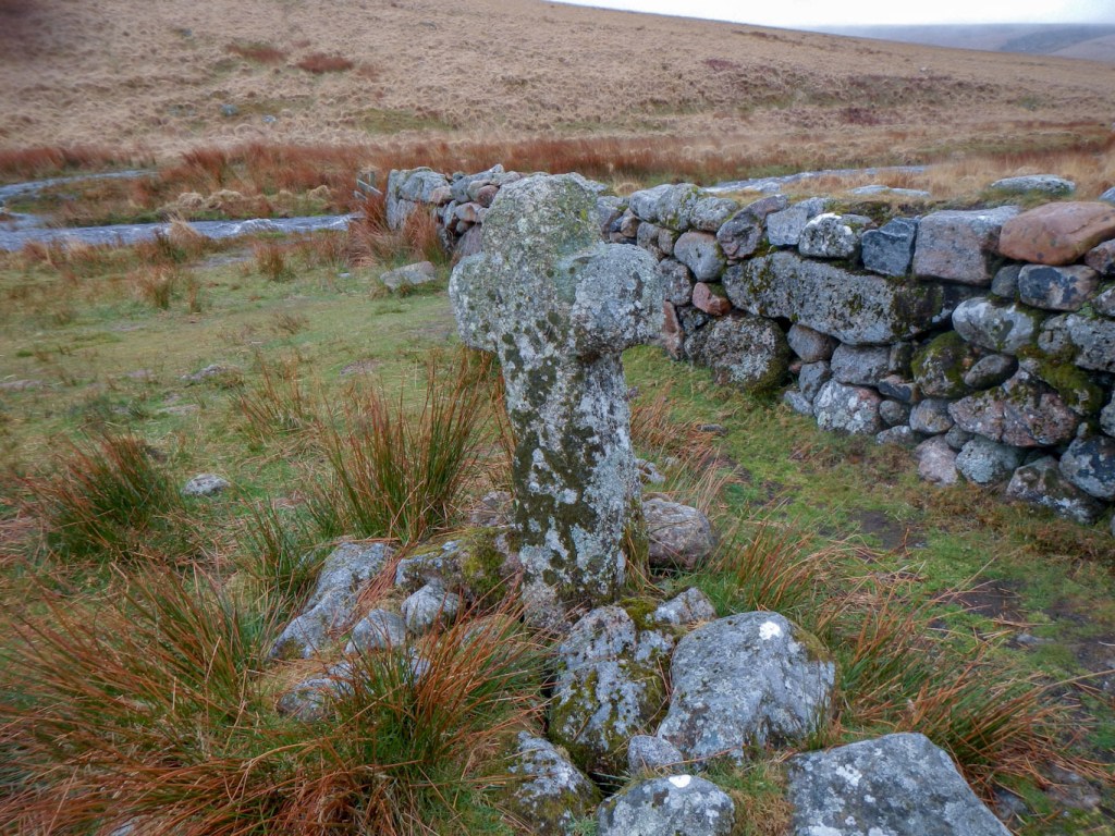
Huntingdon Cross
Not only am I sure I left no trace, but I also had the previously found tent peg – is this even better to leave negative trace? I had decided on a day of traditional map reading so hadn’t swapped my almost depleted rechargeable battery pack to single use batteries in my SatMap. On the way to Puper’s Hill, I couldn’t resist a photo of the river in spate by the clapper bridge (despite the rain overnight, water levels were marginally lower than the previous afternoon). I also added a photo of the admittedly photogenic Huntingdon Cross to my previous photos from each time I pass this spot. I inwardly thanked the ramblers association for providing a small clapper bridge over Western Wella Brook close to its confluence with the Avon.
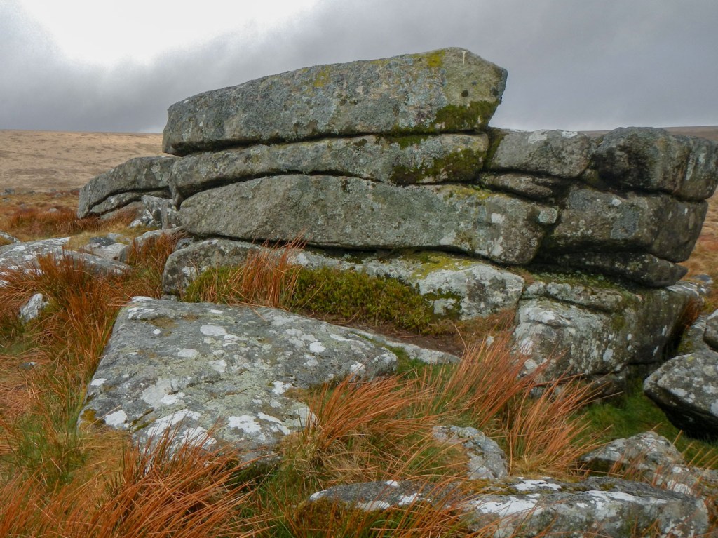
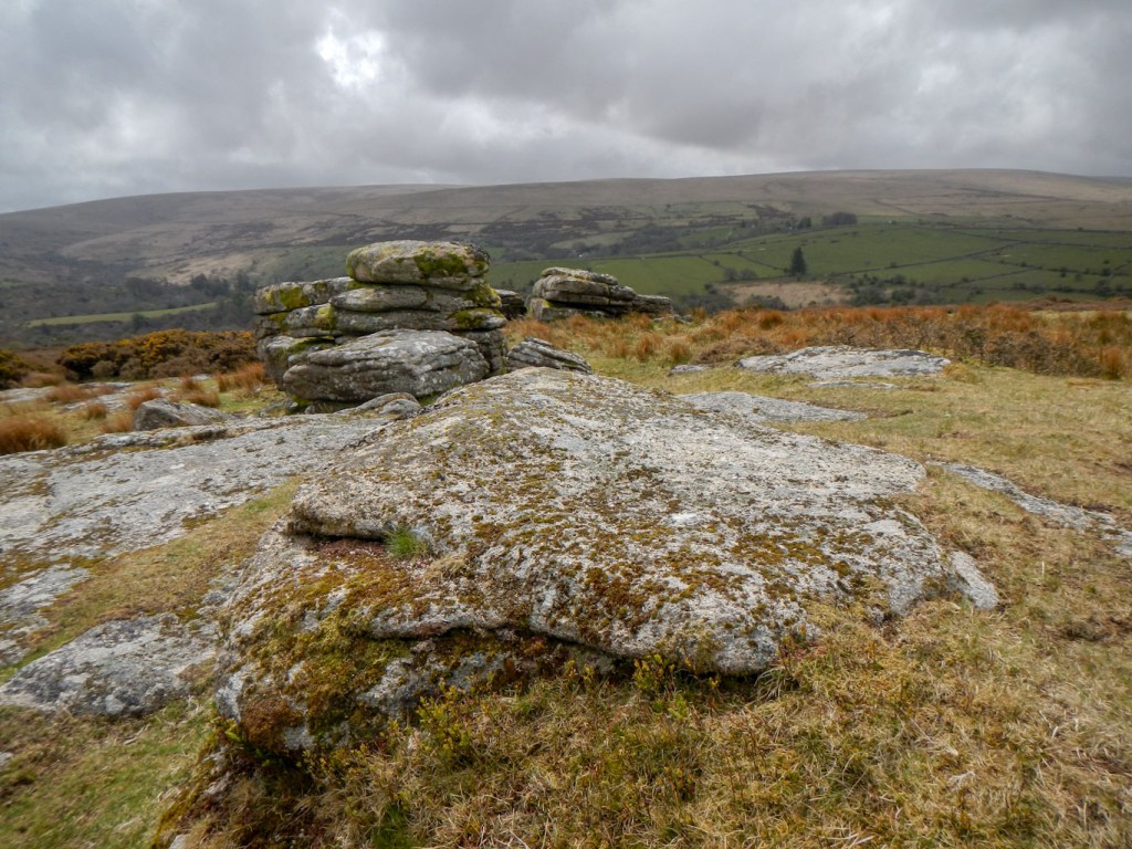
On Puper’s Hill there are three main outcrops – Puper’s Rock and Inner and Outer Puper’s.
Last night, thinking that I would be walking in low visibility, I had earmarked a mainly road route all the way from Scoriton to Huccaby Cottage. However the weather was better than I had expected (no data signal means no weather forecast) so I decided to hike cross country across the broad expanse of Buckfastleigh Moor and Holne Moor to Combestone Tor. This was a superb walk and I picked up many bits of paths. There were fine views including towards Venford Reservoir. I stopped to sit on a rock looking down to the reservoir and sent texts to family to explain that I was alive, well and in good spirits.
Horn’s Cross 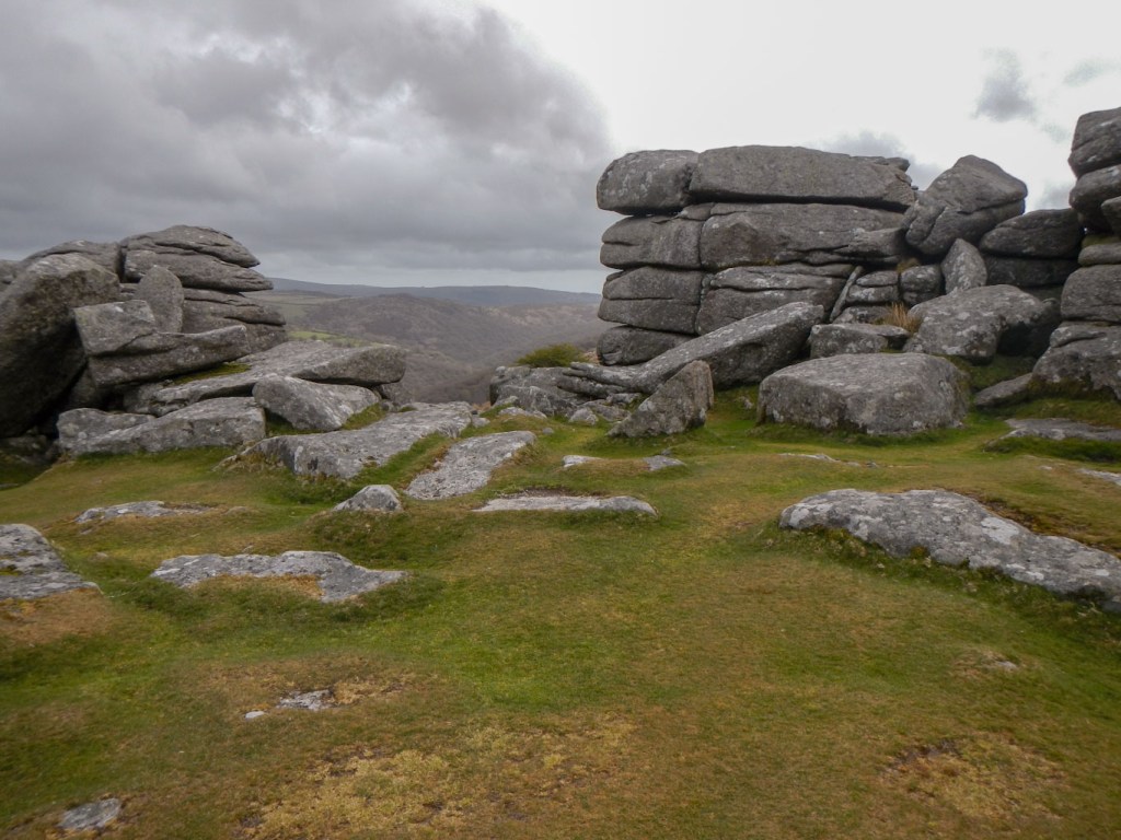
Combestone Tor
My collection of “incidental” crosses grew with the addition of Horn’s Cross and I was soon at Combestone Tor, where I sheltered out of the still ferociously strong wind, to eat an early lunch. Below a rock further down the hill a guitar player was strumming and singing folk songs, recorded by a camera man (and presumably with sound!). The melodious tune wafted up to me, although I couldn’t make out the lyrics.
Next there appeared to be little sensible way to avoid almost three miles of road walking. With the current high water levels, I doubted that Week Ford would be passable. The road was quiet and the time and distance went quickly so it did not seem long before I left the road to climb to the obvious Huccaby Tor. There were paths which were easy to walk along and certainly no missing the huge Laughter Tor and probably even bigger viewpoint of Bellever Tor. There were several small groups of people.
Huccaby Tor 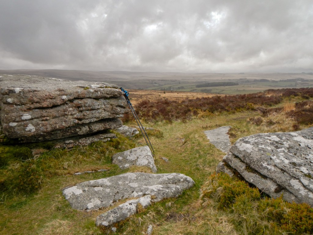
Laughter Tor 
Bellever Tor
From Bellever Tor, I descended rapidly, only a horse rider overtaking me. There were good paths through the woods, from where I emerged on the relatively busy B3212, which I crossed. Thanks to the Moorland Ramblers group for partially funding the path and stile on the other side (I noticed the plaque on the stile).

I didn’t see any more people all day – this side is clearly much less popular than the area on the other side of the road. Initially I followed the path but when it swung round south west I headed almost due north towards some rocky outcrops that I had already seen from further back. This was Arch Tor. From there I headed to a field boundary marked on the map and followed this to the stream at Hollowcombe Bottom. It was easy to follow the stream parallel to a further fence. I saw Cherrybrook Rocks (not on the “bagging” list) and then it was only a short way to Broad Down Tor.
I headed just east of north to reach the East Dart. Initially this looked to be an unpromising camp area as the ground was saturated and it was boggy. However, I spotted some small flat grassy patches at the bottom of the steep sided valley and descended to one of these. It was a perfect campsite for a single small tent, reasonably sheltered from the worse of the wind. Dry weather for now meant I had a relaxed time putting up my tent and brewing my stove for drinks and dinner. Once more, there was no internet or phone service so I settled in my tent to continue reading. Outside, the rain began again and I could hear it pounding on my tent above the constant humming and roaring sound of the turbulent river just below me.
Sunday evening 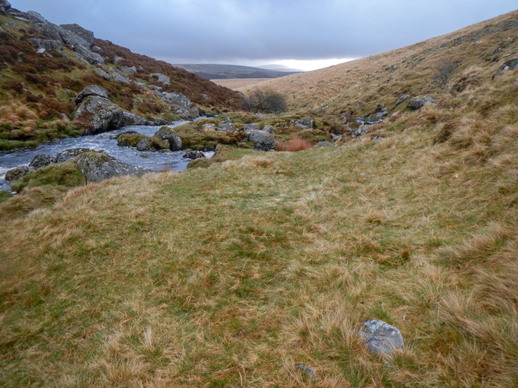
Monday morning between showers
Monday dawned and unfortunately it was still raining so after breakfast porridge and coffee I packed a wet tent. Intervals between heavy showers were short and certainly not long enough to allow my tent to dry. Wind chill was significant as I headed up the steep valley side to the path on the relatively flat ground wearing every layer of clothing in my possession.
There is no need to go to Switzerland to walk on a “balcony” path. This one looking down on the East Dart is superb and I had it to myself. The showers of rain were less frequent but it was still windy. I passed some tor like rocks, but don’t think they are on my “bagging” list.
I arrived at Postbridge visitor centre soon after 09:00am. The car park was deserted as I arrived but a few cars arrived soon after. I walked on the road towards the bridge, but crossed the river using the huge clapper bridge. There followed a mix of paths and tracks before I entered the Forestry Commission woodland of Soussons Down. I followed the western branch of the Two Moors Way for a short distance before striking off uphill to Birch Tor. There aren’t any paths on the map but I followed various tracks and paths to reach the summit. The views were magnificent and I had it all to myself. There was even a short ridge path before I dropped down on to the central branch of the Two Moors Way, following the clear track towards what I thought was the agreed rendezvous point at Bennett’s Cross car park, down from Warren House.
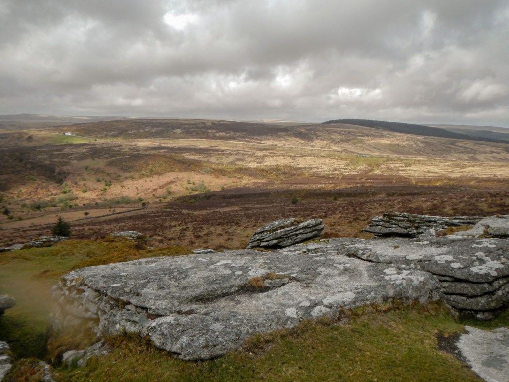
View from Birch Tor 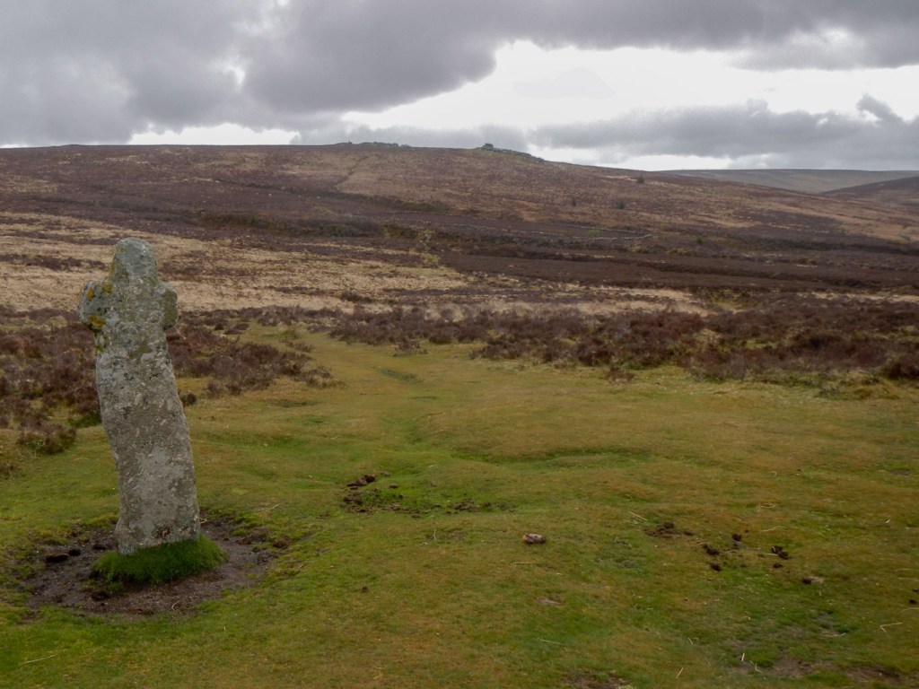
Bennett’s Cross and Birch Tor
In the distance I saw a rather familiar looking car drive past – but not stop. Perhaps I was mistaken as I was too far away to go by anything other than colour and shape. The car park was in a windy place but I put on all my layers again and sat in the lee of some parked cars and the bank surrounding the car park to eat lunch. By the end of the agreed meeting time window, there was still no sign of my husband so I decided to walk along the roadside to the next car park along near Warren House. Indeed that was where I should have been – according to him. Next time I’ll give a grid reference rather than a description! Anyway, no harm done as he had been eating his lunch too. Fifteen more tors reached towards my target and I had coped with a very wet and windy two nights, not to mention the poor visibility all of Saturday.
