2 April 2021
New Covid-19 rules from 29th March mean that travelling for the day is no longer banned, although staying local is still encouraged.
I was a bit anxious about travelling to Dartmoor on Good Friday Bank Holiday, particularly as it was a wonderful dry and sunny spring day. However I need not have worried as the Moor was very quiet. There was a scattering of walkers, all alone or in pairs or small groups as well as a few more people picnicking and enjoying the sun near some roads – but certainly there were no problems with social distancing.
I left Postbridge car park, following the East Dart River. I was a little perturbed to notice some “wild campers” with their tent in a prime location. Staying away overnight isn’t allowed yet and besides which, having worked the previous evening, I was a bit late setting out and it was already past 10am. Surely by this time, they should have taken their tents down and begun their walk under any circumstances!
First tor of the day was Hartland Tor – superb views in all directions. The sunny weather with a light breeze meant conditions for walking were excellent and I was certainly seeing Dartmoor at its best. The ground was dry apart from in the boggy places, so it was all as easy as it was ever going to be.
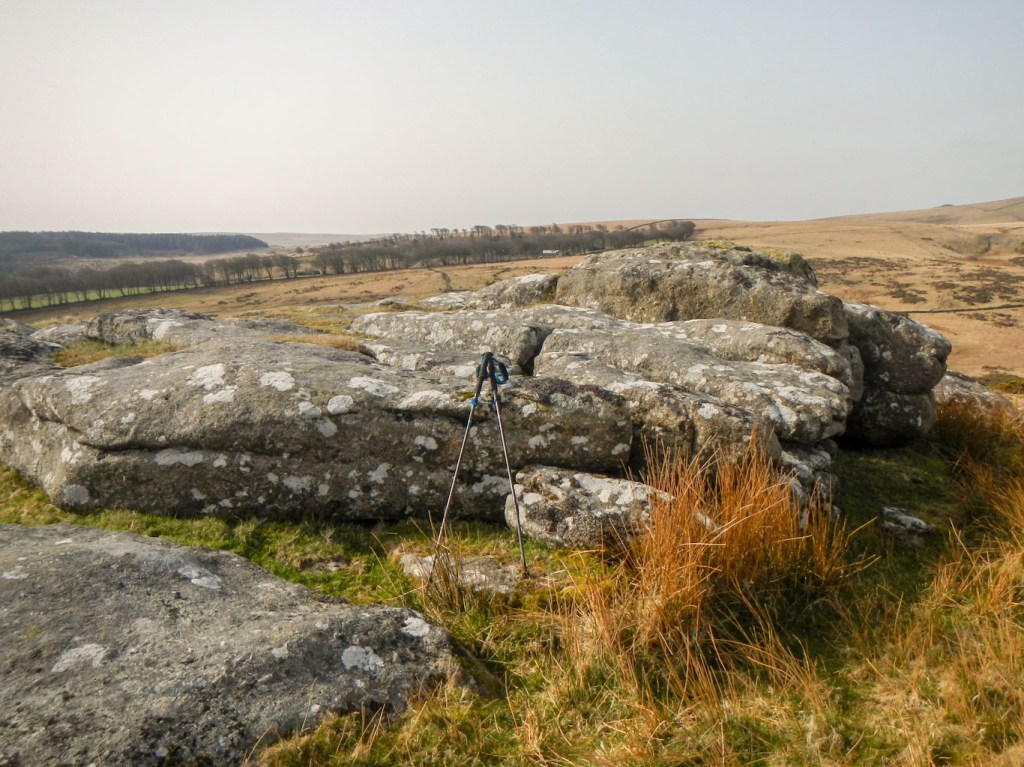
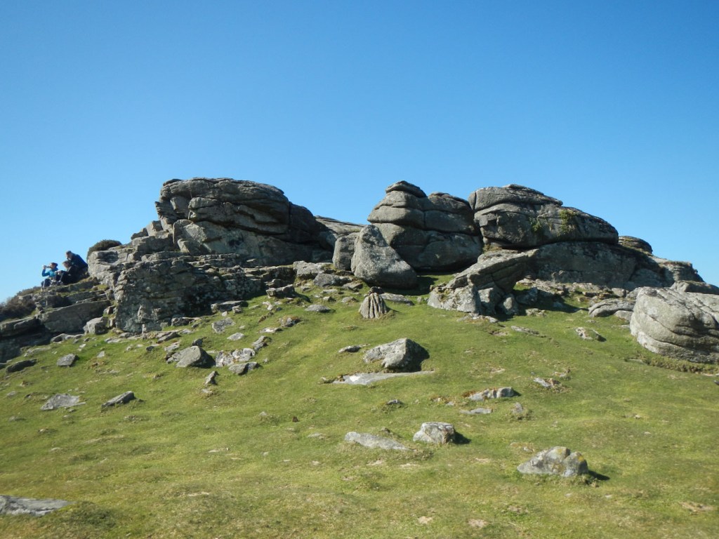
Sittaford Tor is prominent and I found this stunning viewpoint easily, surprising a fox crossing the path “en route”. After the obligatory tor photo I headed down past the ruins of Teignhead Farm. I spotted a prominent cairn in the distance and headed for it – unfortunately it wasn’t Manga Rock which was where I wanted to be. I backtracked and descended to Manga Rock, stopping for lunch there. I thought that Watern Tor might be relatively crowded so best to have an early lunch.
Sittaford Tor 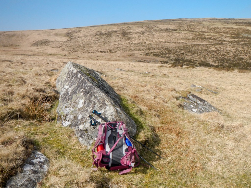
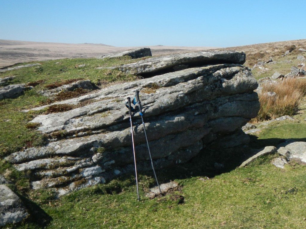
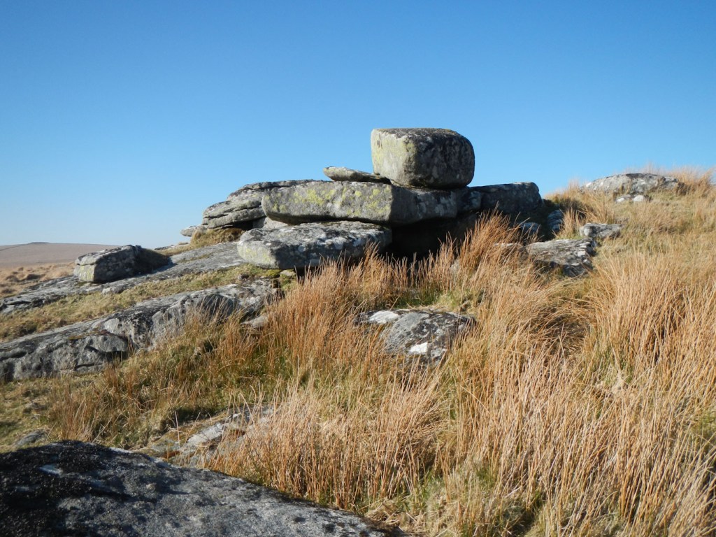
Manga Rock
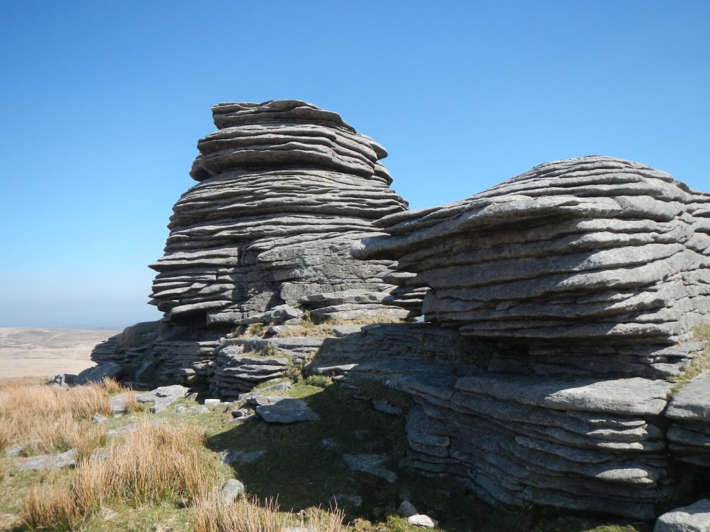
After lunch, I proceeded up again towards Watern Tor, passing fairly near to the cairn I had already visited. I arrived at Watern Tor where I spent a few moments at this imposing granite feature in glorious isolation. I could have stopped there for lunch after all! As I was looking at the next leg of my route to Scorhill Down a couple arrived from the opposite direction. Like me they were on a post lockdown excursion a little further from home than recently, although still pretty local. They were also pleasantly surprised that the moor was so quiet.
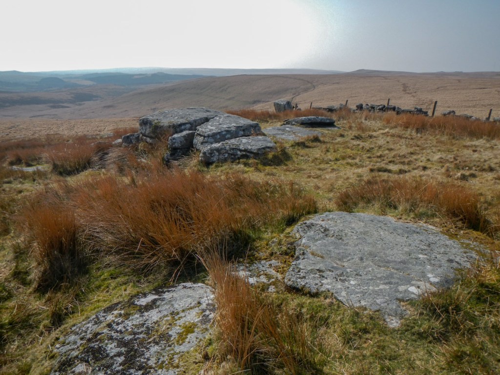
I headed off to the east, crossing some boggy ground and detoured from the north Teign River to Scorhill Tor. Here there was a noisy group who appeared to be letter boxing as they had notebooks out and were talking about “putting it back and making sure it was hidden”. I took a photo of a “corner” of the tor avoiding including the “letter boxers” before retracing my steps to the clapper bridge over the North Teign River. This time I crossed the bridge and followed the path along the boundary line before ascending to Kes Tor.
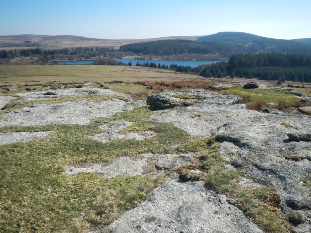
Kes Tor, Middle Tor and Frenchbeer Rock are all close together. There were people at Kes Tor and at Frenchbeer Rock but just a group of ponies at Middle Tor. Thornworthy Tor is away from this group of tors and was deserted, despite its proximity to Fernworthy Reservoir. I enjoyed a superb clear view of the reservoir before descending towards it to join part of the path that circumnavigates it.
Kes Tor 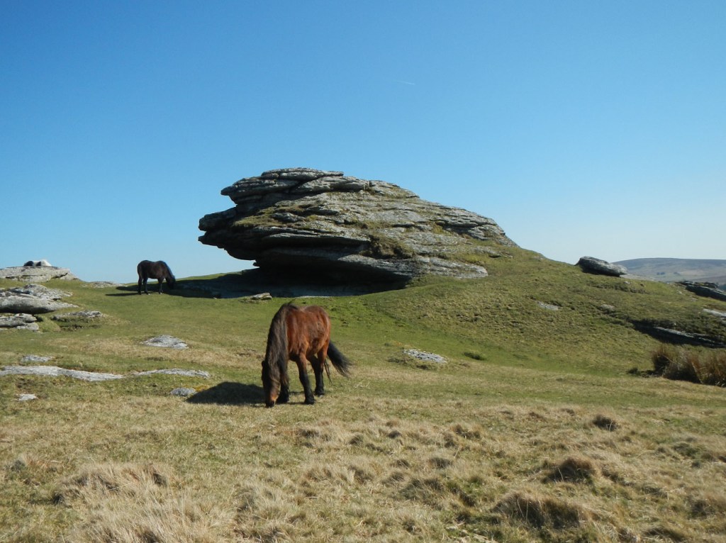
Middle Tor 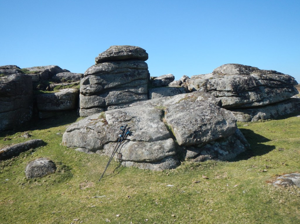
Frenchbeer Rock
I didn’t follow the shores of the reservoir for long as I turned along a gravel forest track. I passed a clearing with a stone row and circle. I turned down another made-up gravel track to pass Hemstone Rocks. from the map, it appeared that the rocks would be in a clearing adjacent to the path. Unfortunately I didn’t find the clearing or the rocks. However there was a stile at the end of the track so it was easy to leave the forest. I am beginning to think that I will confine my tor bagging to the big rocky outcrops and leave out all the ones that are difficult to find – they are nearly always a bit disappointing even when I do find them!
After leaving the easy gravel tacks of the forest behind me, I climbed up fairly featureless and tussocky moorland and saw some rocks ahead. However, despite looking like a tor this was marked on the map as a settlement and there was a further hike to reach Stannon Tor, my final tor of the day.
From Stannon Tor, I decided to deviate from my planned route and descend to the buildings marked at Stannon as I could see that this could give me an easy route back to Postbridge. Sadly, I descended and couldn’t find a way on to the track. I ended up climbing back to some sheepfolds only 40m descent from the tor and making my way over rough ground to near Hartland Tor (which I had visited first in the morning). However eventually I arrived back at my car in Postbridge. Ten tors bagged and I was tired out after walking almost twenty miles. Admittedly much of it was over pathless tussocks, but, after such a long gap due to lockdown, a full day walk had taken its toll. Hopefully the next gap will be shorter and we are really coming out of the final “lockdown”
