14-16 August 2020
After I completed my Dartmoor Perambulation in June, I wondered what other challenges would stimulate me to a wider exploration of the area. There are multiple possibilities including “letter boxing”, ancient cross collecting, and exploration of the many historic remains stretching back to prehistoric times. However the tors are the distinctive feature of the moor and I discovered that there are various compilations of these. I have opted to follow the Cornwall and Devon LDWA list which includes 371 named Tors, Rocks and Hills. This is a project that could take a long time and in fact given that some of the points are on private ground be very difficult to complete. The form for completion is clear that it isn’t required to climb any rocks but to touch the base of the biggest rock and to climb to the top of the hills.
I decided to start from zero and not count any previous ascents even if I had the dates and photographic evidence.
I was able to park easily in the National Park car park in Princetown for two nights and make it a backpacking weekend away (very good value at £4 for two days and I was impressed to get three hours over the forty eight so right up to 18:00 on Sunday). Initially it was plain sailing – North Hessary Tor and Rundlestone Tor were rapidly “ticked off”. I should have made the little deviation to Hollow Tor but didn’t think of it at the time. However I’m sure I will be walking that way again soon as it’s so near Princetown.
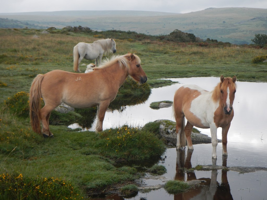
There were a couple of ponies and a couple of walkers near Little Mis. From there I was soon on Great Mis where unfortunately the rain began and there was no possibility of the fine views often seen from here.
My plans had been overambitious for my initial relatively short time on the first day. I had been working on Friday morning. However I set off towards Roos Tor. Unfortunately the River Walkham was quite deep and I didn’t want to get wet feet so early in the weekend so I decided to give Roos Tor a miss. Instead I ended up scrambling along the river bank and following the river upstream all the way to the bridleway near Conies Down. It continued to rain – well it stopped briefly and although it was not for long enough to think about removing my waterproofs, I did hope that I might not have to put my tent up while it was raining.
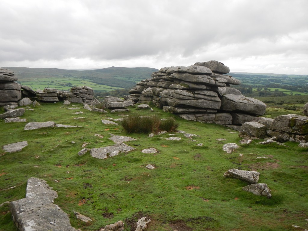
I turned along the bridle path and soon spotted Conies Down Tor, which I decided would be my final tor for the day. I came down from the tor to regain the path, detouring to skirt round a herd of cattle.
When I reached Conies Down Water, I spotted two tents pitched next to the stream. I didn’t want to camp too close to them and I also thought they were a bit near to the cattle so I walked upstream to find a nice flat piece of ground well above the stream level.
It was tipping down with rain and there was a lot of water on the ground. However I was pleased to get my tent up with the flysheet nice and taut away from the inner without everything else getting wet. I managed to detach my rucksack cover leaving that along with my waterproofs, boots, water bottles and trekking poles under the flysheet and everything else in the remarkably comparatively dry tent.
I really couldn’t face the thought of trying to keep dry to use my stove so I ate Saturday’s lunch for dinner before settling in my sleeping bag to start reading my book – what is turning out to be an eye opening true story about the Jeremy Thorpe scandal in the 1960s. Sadly I became so engrossed that I didn’t notice that somehow lots of water had got into half of my tent. Fortunately, due to the warm weather I didn’t get cold despite everything that wasn’t in a dry bag getting very damp.
I think it rained for most of the night but by morning it was just very misty so I enjoyed my porridge and coffee before packing up. Unfortunately my ailing GPS with proposed routes plotted out finally reached terminal stages overnight and the touch screen had stopped working at all. However, I had map and traditional compass so thought that would be fine.
The two tents downstream were still in place as I walked past and the occupants appeared to be just getting up, waving in a socially distant and friendly way as I passed several metres away from their pitch. I turned towards the next tor on my list (Lydford Tor). After walking in what I was sure was the right direction, following then losing the path I soon realised that in the mist I must have totally missed the tor. My compass seemed to be doing all sorts of odd things and I was sure that it was 180 degrees out. I realised that navigating this remote terrain in these conditions with what appeared to be a broken compass wasn’t a great idea.
I decided to have faith in my own perceived sense of direction and turn back in a predicted westerly direction to retrace my steps. The worse that could happen was that I had actually turned east as my compass was correct and I would meet the West Dart River which I could follow downstream to Two Bridges. However it was me that was right and my compass that was wrong as I eventually ended up back at the ford on the bridle path across the River Walkham. I recognised the area easily from the previous afternoon.
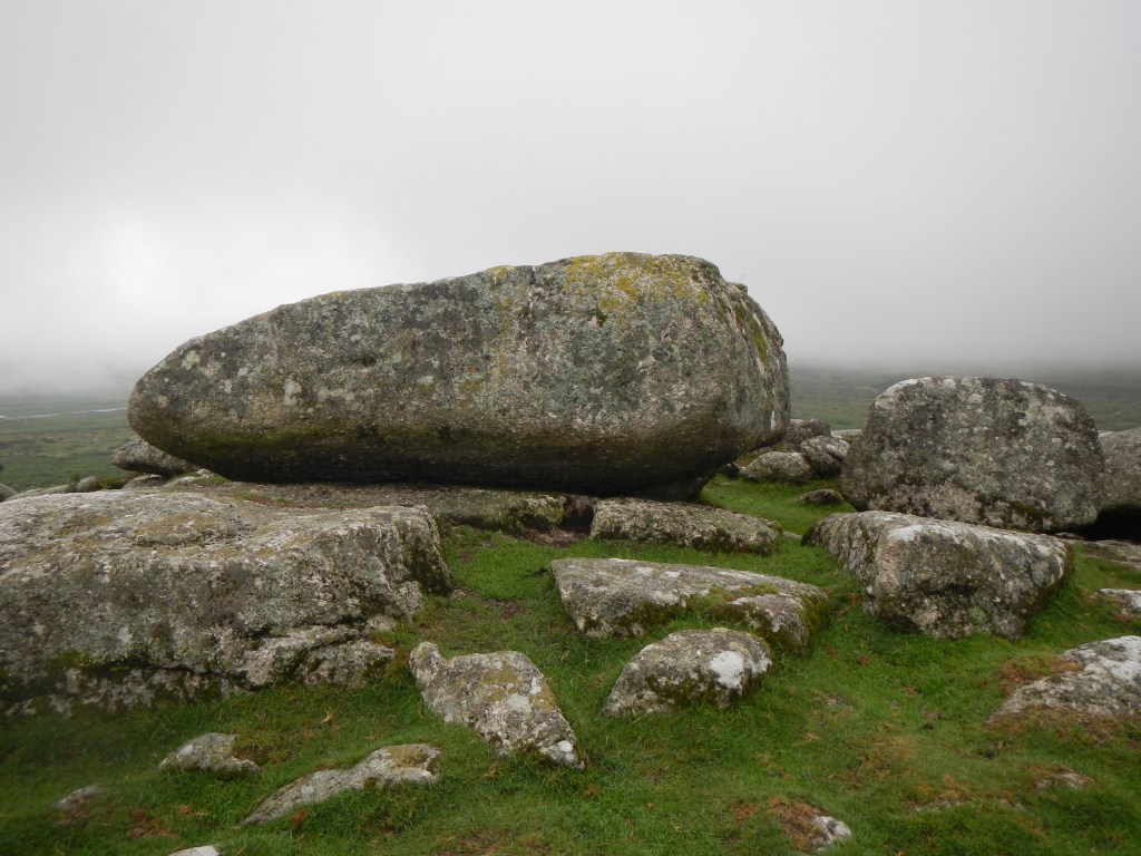
I wasn’t sure that I would stay out for another night but was keen to at least bag a few tors before turning to Princetown. I walked on along the bridle path, detouring round a herd of cattle. I reached a prominent standing stone (marked on the map), where I was overtaken by two runners. I left the path to navigate up to White Tor in the mist. Sadly this was my first tor of the day and it was already lunch time. It wasn’t windy on the summit so I brewed up some water for coffee and also rehydrated and ate last night’s dinner. As there was phone reception I phoned home to say I might be back that evening – and discovered that the forecast was that the weather would improve and clear. I wasn’t sure about the night though as after all the things that had gone wrong I was on a completely different route and would need to camp in a different place. However fortunately I had in my bag the national park leaflet with all the permitted wild camping areas marked.
In fact as I left White Tor, the mist cleared for a short time and I was able to see the fields below the rough moorland. Moreover, my compass seemed to be working (I discovered after I returned home that there are some spots on the moor where there are magnetic anomalies so it seems that is what had happened rather than my compass having reversed polarity).
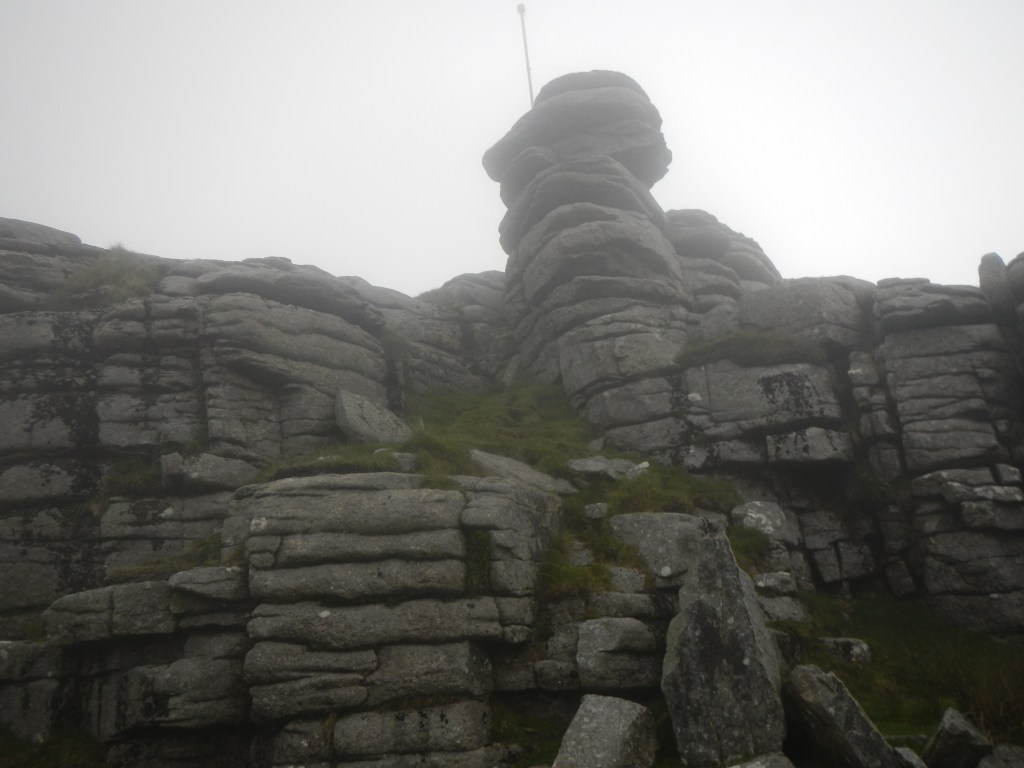
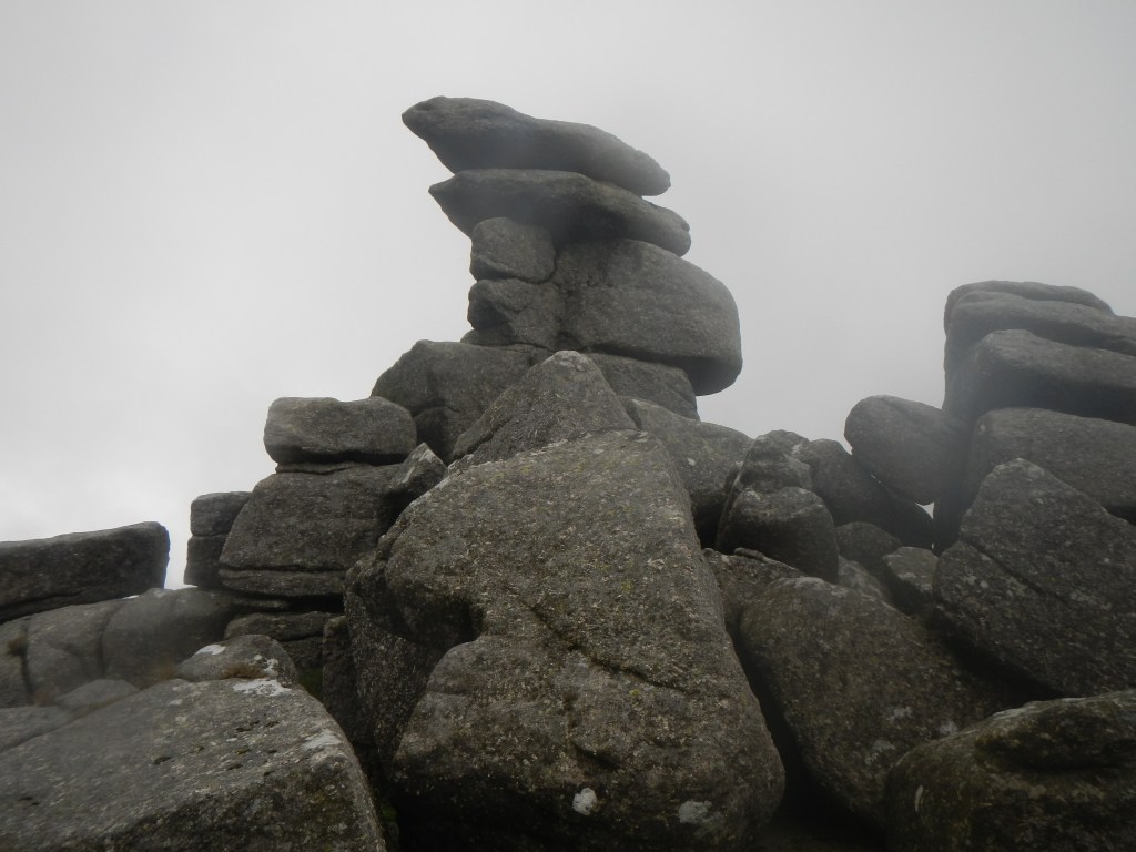
I was soon off White Tor, passing some fields protruding like a peninsula on to the moor, and then making my way across less steeply sloping terrain to Roos Tor (number 2 of the day). From here it was easy to reach Great Staple Tor (number 3). Although I could see Middle Staple Tor easily, I decided to head over in a zig zag to Cox Tor (number 4), crowned with a trig point. I arrived just as the mist descended again and heard a young child just below the summit shrieking to its parents as visibility rapidly decreased.

I’m not quite sure what happened, but on my way to Middle Staple Tor I turned back and ended up once more at Cox Tor. Descending Cox Tor for the second time but taking a different route there were numerous people struggling to ascend and wearing very flimsy footwear. The reason for this influx of people became apparent when I saw a large car park in the distance at the side of the road. It had rained again as well and not only were many wearing lightweight footwear but they appeared to have no waterproof clothing. It might appear to be a short walk, but as had happened to me, it is easy to get disorientated and be out for longer – not safe or pleasant for those with poor footwear and no waterproofs.
Fortunately this time I did get to Middle Staple Tor (number 5), where I met a family who were well equipped but also struggling with their compass and had reverted to using the compass on their phone. They also thought the rock was leading to compass anomalies. We noted with sadness the whole bag of barbecue logs dumped on the tor as well as multiple odd socks. It didn’t take long from there to get to Little Staple Tor (number 6) and then the road.
I had considered following the road to Rundlestone and hence to reach my car at Princetown but the weather looked better and the tors on the other side of the road caught my eye, especially the prominent and distinctive Vixen Tor (the tallest tor on Dartmoor).
The weather actually improving rapidly, I climbed Barn Hill (number 7) as it looked like a tor. It is included in the LDWA list although at the time I was not sure as I was off my planned route and had not brought the spreadsheet with me.
From there I descended to the prominent cross and the sun came out. This looked like an idyllic camping spot adjacent to a stream but I rejected it as being too much in the public gaze. I was feeling that a further night camping would work well and it was early enough for me to have time to get dried out. I climbed up Feather Tor (number 8), and found a prime position – a flat grassy area behind the tor and still fairly close to a stream for water. This ticked all the boxes, including the presence of phone reception so I could phone home to inform my husband of my further change of plan.
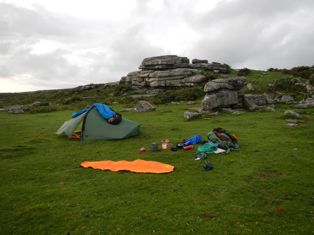
If Friday night had been a nightmare, this was a dream. Soon my tent was erected and all the flaps open to let it dry, my sleeping bag was draped over the tent as soon as the flysheet was dry, my towel was hanging on a tree branch and my sleeping mat laid out on the grass. Dinner was duly rehydrated and eaten. I decided that I definitely preferred the chicken tikka to the bolognaise I ate for lunch. The sky was impressive as the sun set over Tavistock seen in the distance.
Later I lay in my tent continuing to read about some of the scandals that happened in the echelons of power during the 1960s. I assumed that the only mammalian life around me was the sheep that I heard baaing from time to time. However a human voice called out as darkness fell – someone who had previously earmarked the site to camp. From the brief conversation that followed, he decided to change his plan – especially as he revealed that his car was just down at the road about a kilometre away whereas I had walked and carried my kit all day. I’m not sure where he camped but there were plenty of other flat green areas nearby so I really don’t feel guilty!
I was up and away fairly early the next morning and after breakfast I rapidly ticked off Heckwood Tor, only a few hundred metres away. As I was off my planned route, I hadn’t investigated this area on the computer beforehand. I climbed to Vixen Tor as the field gate was unlocked with no warning sign that it was private ground. I was oblivious of the controversy over access. Next I made my way to Pew Tor, skirting Heckwood Tor. There were groups of ponies, one enjoying a paddle in a small lake. Navigation was all so much easier in clear and dry weather.

After reaching the road to the south of Pew Tor, there was a long trek mostly along roads and a short stretch of track. The roads were all narrow and virtually empty apart from the occasional runner or cyclist. The route skirted the small and quaint looking village of Sampford Spiney with its relatively imposing church. There were many blackberries to pick – ripe, juicy and large.
Once off the road, it was a short sharp climb to Ingra Tor. From there I followed the disused railway track bed and bagged the pair of small Hucken Tor and the imposing Kings Tor on each side of the track bed. I realise afterwards that I could easily have visited Swell Tor and Foggintor with little additional effort. However looking at the map I had thought these were both just disused quarries. That’s the problem with changing plans and not bringing the spreadsheet. Even so it started raining heavily in the last thirty minutes of my walk so perhaps it was better to have left them for another visit as I would have been back later and spent more time in the rain.
In any case eighteen tors on my first weekend of tor bagging isn’t a bad score, especially taking into account the weather conditions and equipment failure. There is certainly potential for many more adventures waiting to happen!
