This is such a big adventure that it deserves to count as two! It involved more than three reconnaissance visits in preparation and then the torrential storms last Thursday turned streams and shallow river crossings from the previous week into raging torrents. This nearly resulted in failed completion.
Essentially the non waymarked walk with many parts crossing open moorland without paths is one of the oldest historical routes on Dartmoor. In 1240 Henry III dispatched twelve of his knights to ride on horseback around the Forest boundary and to record certain fixed points on the route. On the route as outlined on the website nowadays there are thirty three points https://www.sites.google.com/site/dartmoorancientboundarywalk/home
I started in pouring rain from Princetown at 09:00am on Friday 19th June. My husband dropped me off and generously offered me a cup of coffee from his flask as he had decided that he had better things to do than spend time trying to take photographs in the rain. He went straight home!
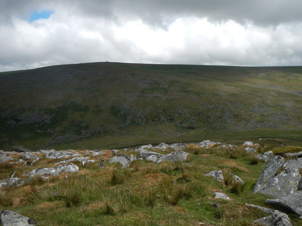
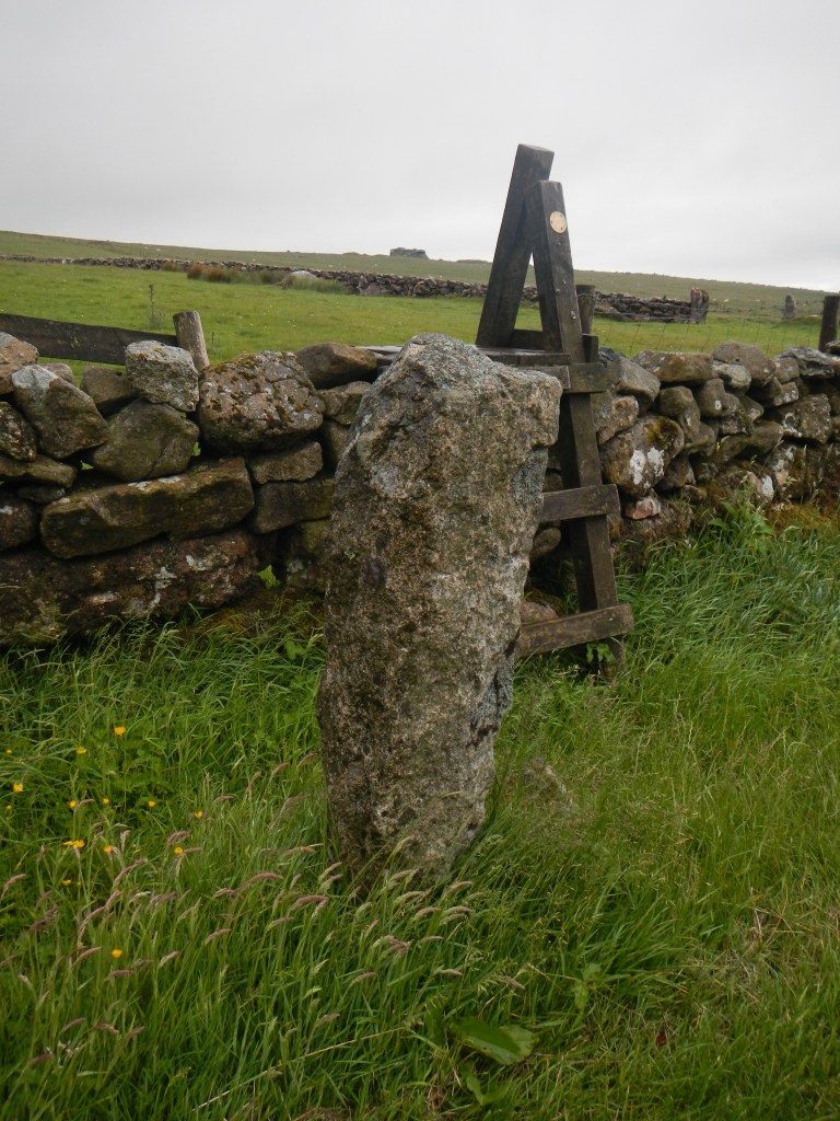
I was soon ticking off the points – South Hessary Tor, Siwards’s Cross (a large stone cross repaired with a metal strut), Eylesbarrow Cairn (two collapsed stone burial cairns), past disused tin workings to cross Plym Ford and a tussocky pathless route to Erme Head Ford. There were a couple of stream crossings which were fine but definitely more difficult than on my reconnaissance only a few days earlier. Eastern White Barrow is a very well preserved burial cairn high on the moor at 472m and a good vantage point. I walked down to the ford (easily waded earlier in the week) and discovered that the Avon had turned into a torrent best crossed by diverting almost a kilometre up the south bank of the river and using the clapper bridge then returning along the north bank. The Huntingdon Cross is an ancient Dartmoor Cross seen here. The moor is packed with remains proving occupation from Neolithic times.

Siwards’s Cross 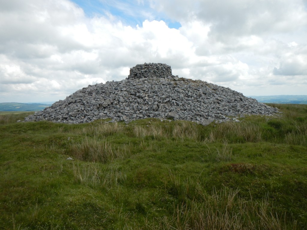
Eastern White Barrow 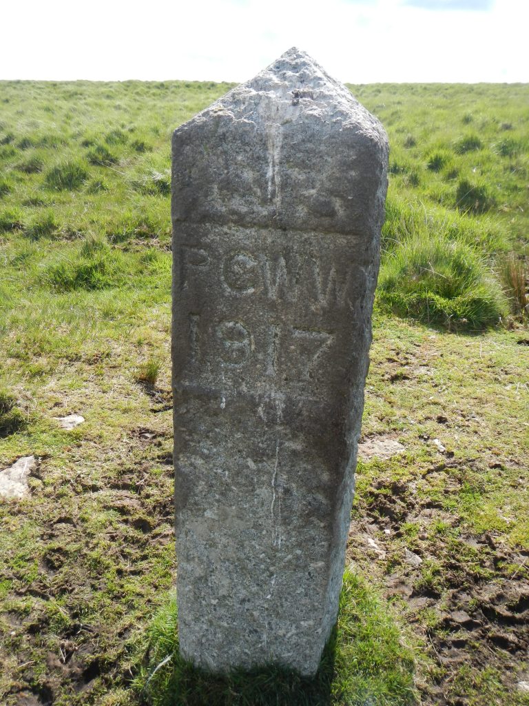
Course of track built by Prisoners of War in 1917 near Princetown 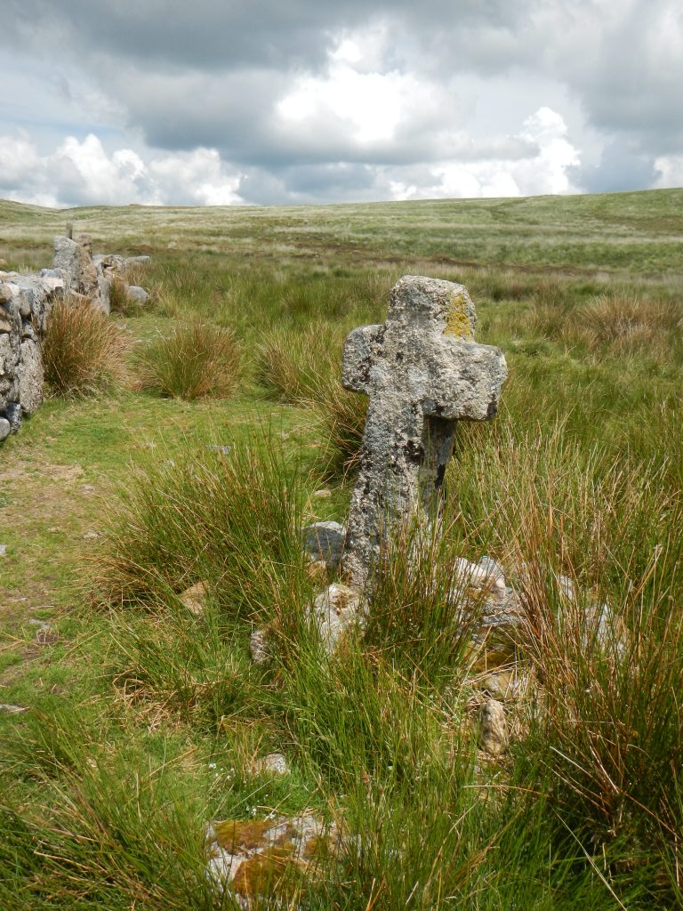
Huntingdon Cross 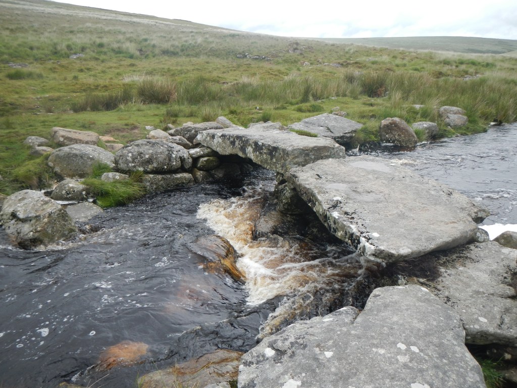
Clapper Bridge across Avon
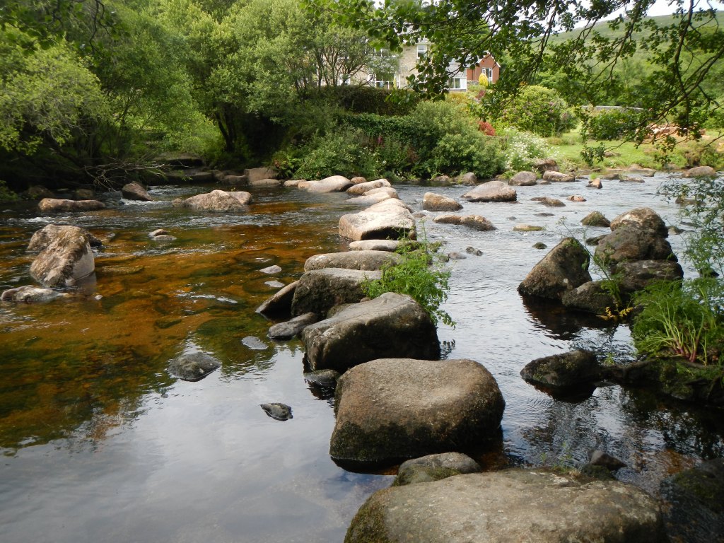
All was going really well until I reached Dartmeet and found that the stepping stones which had been well above the water a few days earlier were submerged. The alternative route also involved stepping stones which I was dubious about. I tried to phone my husband to say I was giving up but there was no phone reception. This turned out to be fortuitous as I met a group of four who had crossed the alternative stepping stones in the opposite direction and confirmed that they were not slippery and the one that was under water was OK to use. As I had trekking poles as well to balance I felt confident to follow their advice. Unfortunately my total delay from this was almost an hour and a half.
Dartmeet stepping stones on Monday 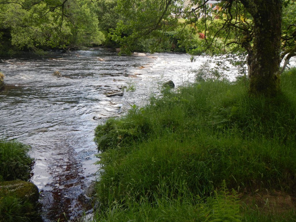
Dartmeet stepping stones on Friday 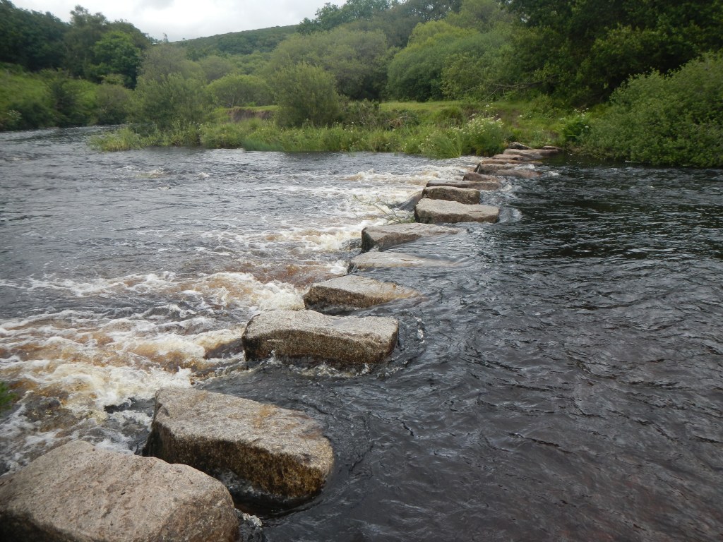
Week Ford Stepping Stones just about passable on Friday
I proceeded to walk well and was ticking off the boundary points and the miles. The evening was dull and cloudy so there was a long twilight period. I glimpsed two deer when I walked through a wood.
Sadly my long delay meant that nightfall coincided with a particularly featureless and pathless piece of terrain from the Long Stone to the confluence of a stream with the North Teign River. I had to rely on my head light to see and I was crossing tussocky ground with the aid of my trekking poles. Unlike in daylight it was not possible to spot the odd sheep track going roughly the right way. I had no spare hand for my compass and had to keep stopping to look at it. There was no feature that I could fix on ahead to enable me to walk on a reliable bearing.
I crossed The North Teign eventually at around 11pm with the aid of a curious bridge made of metal pipes. At that point I used my stove to heat water for my high energy rehydrated chicken tikka – I had not wanted to spend precious daylight hours fiddling around with stoves.
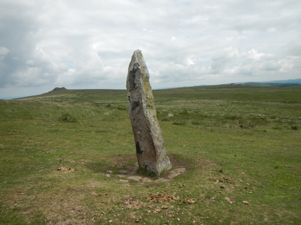
The Long Stone 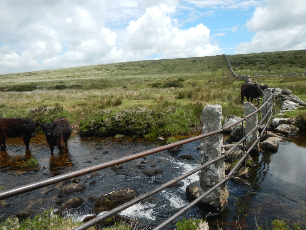
North Teign Crossing 
Hound Tor
Full of energy I climbed up the field and out on to the open moor, reaching Watern Tor. Animals on Watern Tor revealed themselves as red eyes reflecting the light of my head light. I was concerned as to which were cattle and which were sheep. There followed a very long, difficult and zig-zag walk over tussocks towards Hound Tor. Near the tor I was delighted to pick up a path and suddenly it was all much easier. However as I reached the stones of Hound Tor, I was alarmed to realise that there seemed to be red eyes everywhere and a cacophony of raucous and agitated mooing together with some less alarming baaing. A group of cattle ran across ahead of me and I could see more where they had come from. My Garmin shows that I scurried round in some circles before escaping off to the North West. The mooing quietened and I felt safe. This was enough adventure for one night!
I stopped to re-evaluate and brew a coffee. I think it was about 01.00am. I was concerned about meeting any more herds of cattle in the dark as I had been fortunate not to be trampled. I decided to lie low and wait for first light. It was cold, dark and kept raining. I managed to light my stove again to mix up porridge with hot water and to make more coffee. However even my waterproof matches were difficult to strike. I put on my fleece hat. I had more layers I could have used but would have needed to take off my waterproofs to put them on. Ultimately I had my survival bag if it got too cold. In a break between showers so it was all dry, I changed the batteries in my Garmin so as to ensure it would go on working to the end. I realised that I could turn off my headlight and see the black outlines of the hills and the less black sky – so there was some light.
At first useful light which I think was not long after 04.00am I packed up and resumed walking. I realised that I was on the right side of Hound Tor to reach the good track going to the stone circle. Ironically there were no more cattle on that part of the walk. It would probably have been ok to go on – but I was not to know. Two runners coming down Cosdon Hill as I was going up were surprised to see me – they were at the beginning of a planned 70 mile solstice run. The dawn was lovely – the sky gradually became blue and it was sunny. There were two dog walkers at the top of Cosdon Hill. There was phone reception and I texted my husband to say estimated finish time now 3pm or so.
The route off Cosdon Hill to the ford was straightforward. The ford across the River Taw was easy to cross and I was soon over the ridge and at Cullever Steps having hand railed Irishman’s Wall. Sadly the skies became cloudy and it began to rain. I reached Yes Tor then High Willhays at 621m the high point of Dartmoor and was making up time. There were intermittent wide ranging views. I got wet feet crossing the West Okement River. The cattle in that area were well away from where I wanted to walk. I walked up to Steng a Tor then on a compass bearing to Rattlebrook Head.
From Steng a Tor looking back over valley to Yes Tor and High Willhays 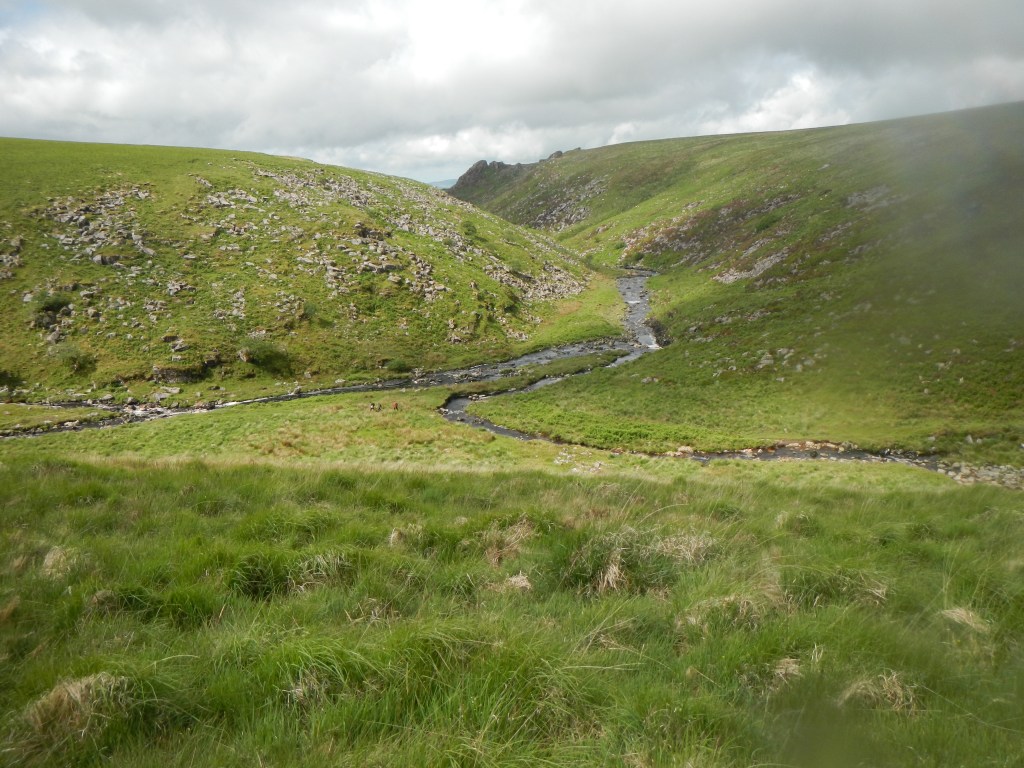
Rattlebrook Foot – confluence with Tavy 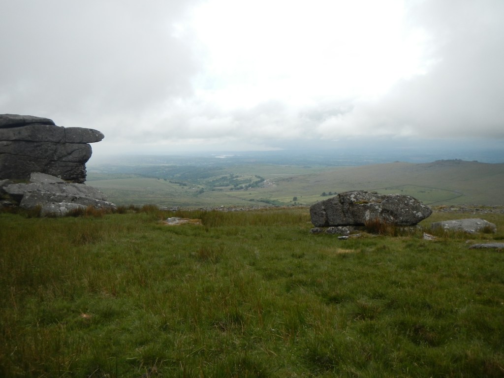
View from Great Mis Tor
I made good time down the Rattlebrook. Unfortunately the place where I had crossed the Tavy last week did not look a sensible option so I ended up walking up stream to Sandy Ford to cross (it appears that it was Amicombe Brook that I crossed and the Tavy actually looks like a tributary). I was worried about nearby cattle but a runner had no such qualms and they moved out of her way which was also fortuitous for me. The weather was brighter and there were quite a few other walkers.
I ended up taking a very winding route on poorly followed compass bearings and across featureless terrain to Lynch Tor. Clearly and not unexpectedly I was getting tired. Eventually having followed what on my Garmin track looks like a drunken meander to Lynch Tor, I stopped for a snack and remembered that I had an energy gel with caffeine. This was helpful and I made White Barrow more efficiently than on my reconnaissance trip. I subsequently crossed the Walkham River easily and pushed up Great Mis (a lovely tor with excellent views) before racing down to Rundlestone. The stiles on the next section to Rundlestone Tor seemed higher than before. I was clearly tired as I got confused at Rundlestone Tor, thinking that I was at North Hessary Tor and looking for the path to Princetown! However I realised that the masts were still ahead and then it was downhill all the way to Princetown.
I found my husband’s car in the car park. I was late – it was 15:30 – but I had sent a further message after the diversion at the Tavy crossing so he knew I would be late. He was at the shop buying potatoes so I sat on the verge next to the car, drinking some of my remaining purified stream water and discovering that my Garmin said that I had just walked 92.4km to complete my Dartmoor Perambulation as a single journey.
The hot bacon sandwich and coffee made from mains water and transported from Exeter were very much appreciated.
